Elevation of Chemin du Bois Franc, Mansfield-et-Pontefract, QC J0X 1R0, Canada
Location: Canada > Québec > Pontiac Regional County Municipality > Mansfield-et-pontefract >
Longitude: -76.695803
Latitude: 45.911422
Elevation: 177m / 581feet
Barometric Pressure: 99KPa
Elevation Map:
Satellite Map:
Related Photos:

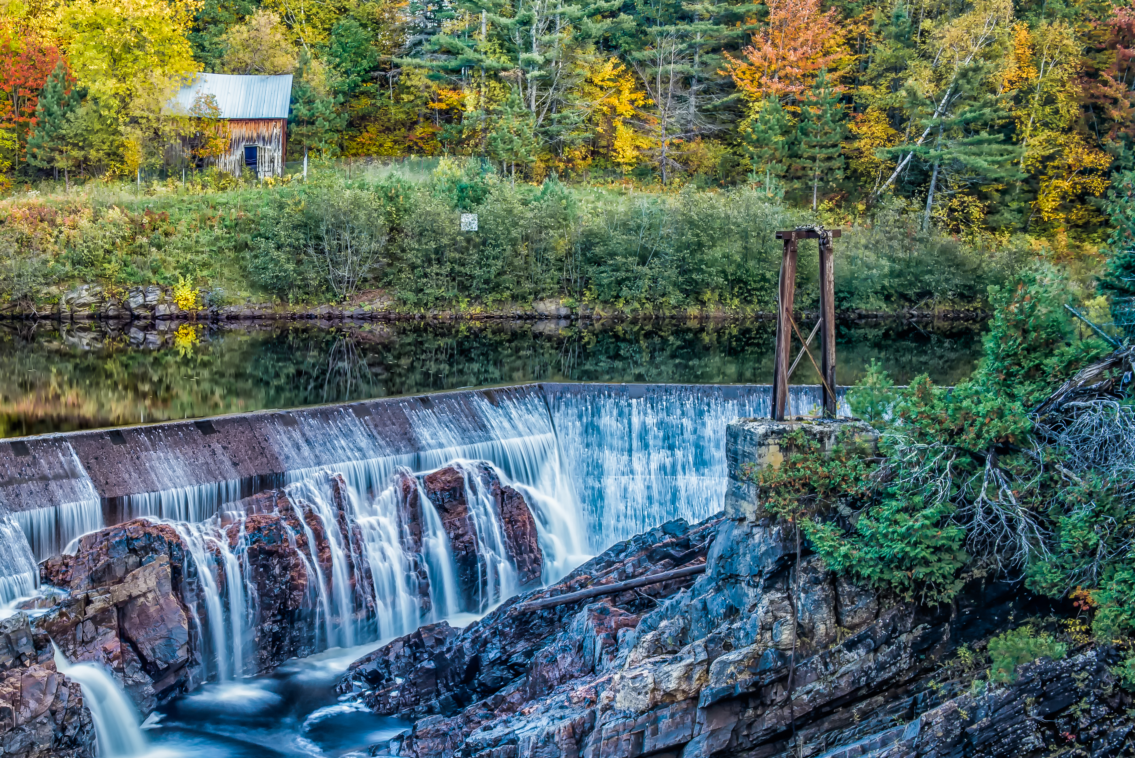
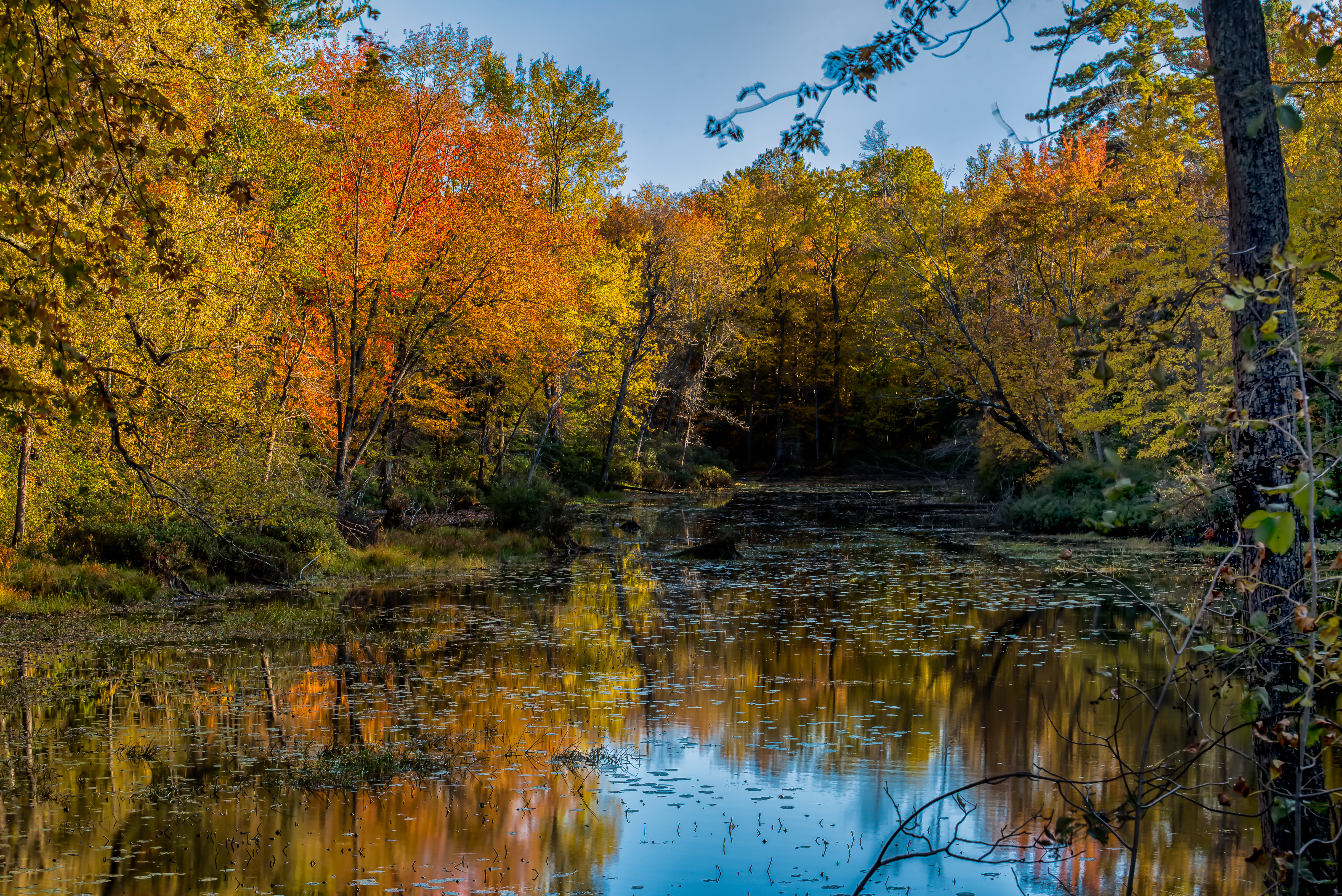
Lovely Chaos
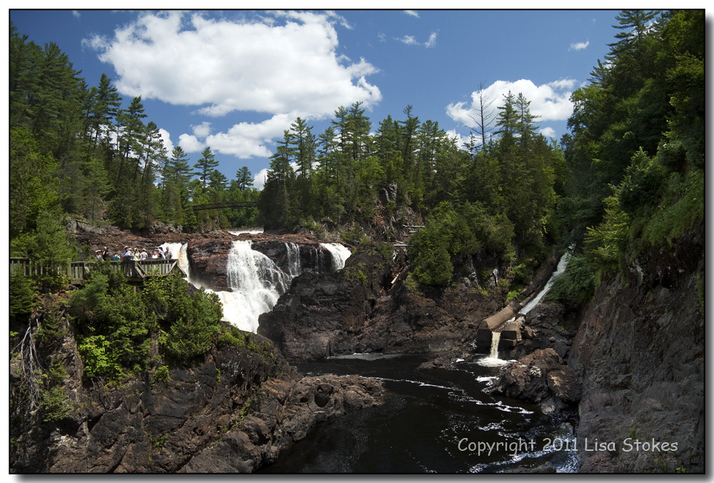
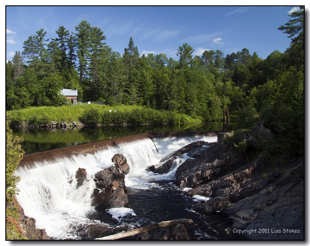
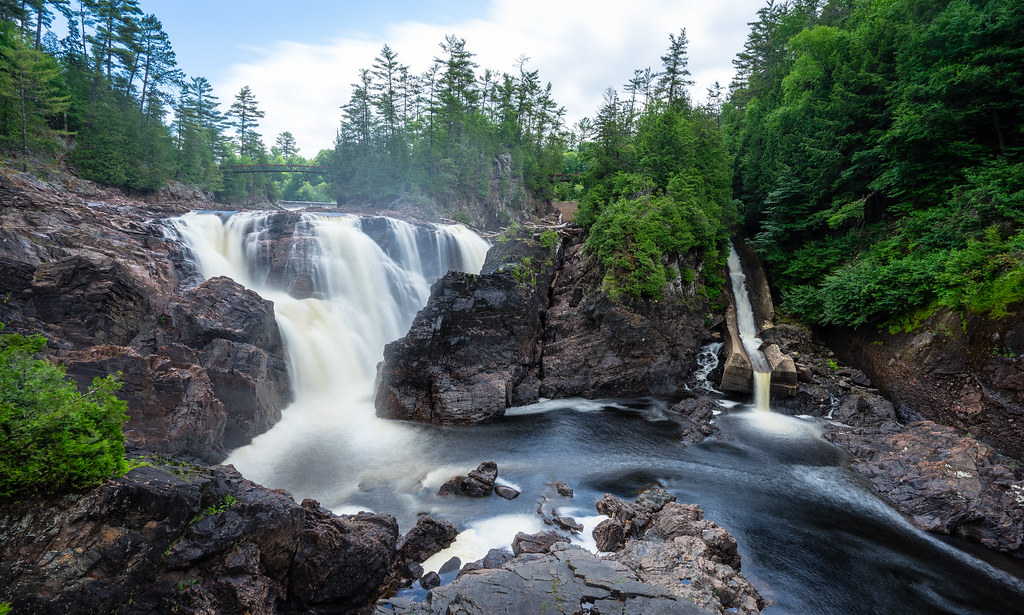
Chutes-Coulonge
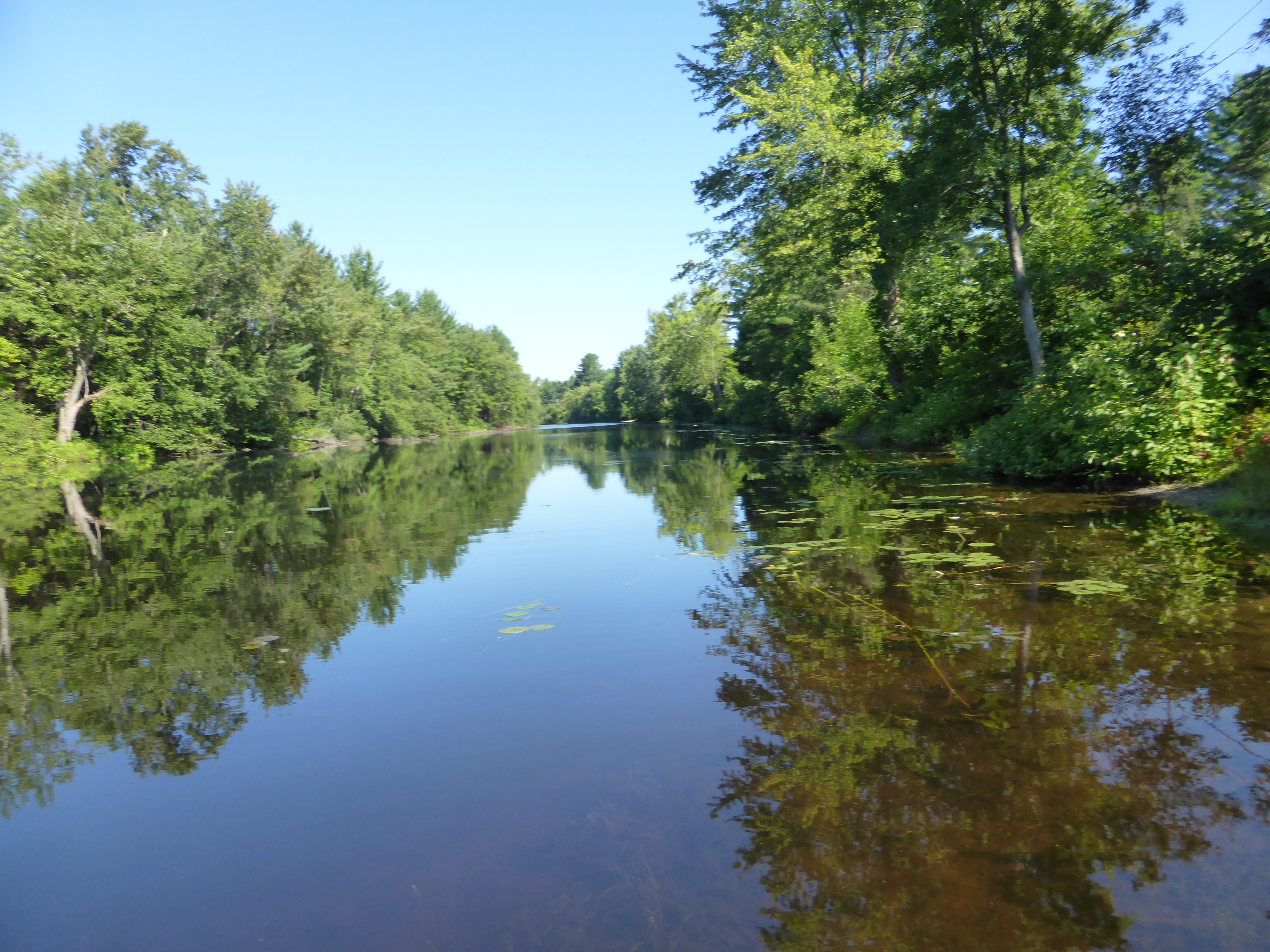
Ottawa River in Ft Colougne

Nice view on the Ottawa river
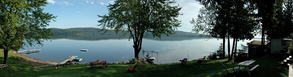
Cottage view
Chutes Coulonge-1561

Man and Wife
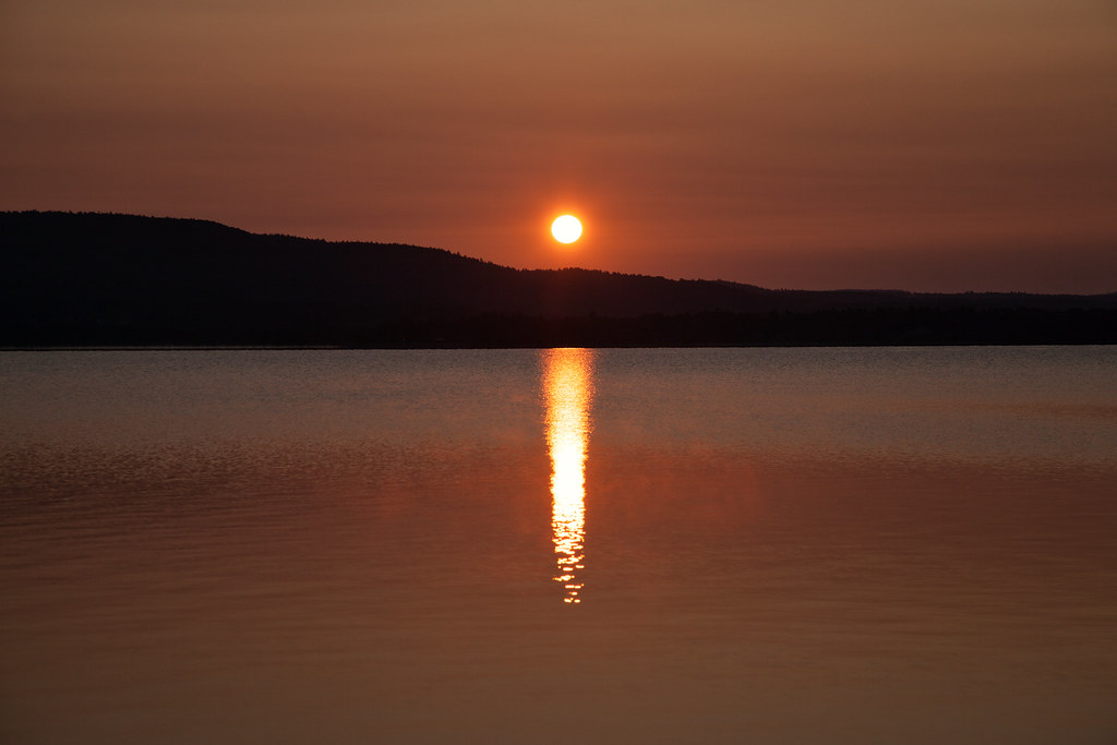
Ottawa River sunrise3
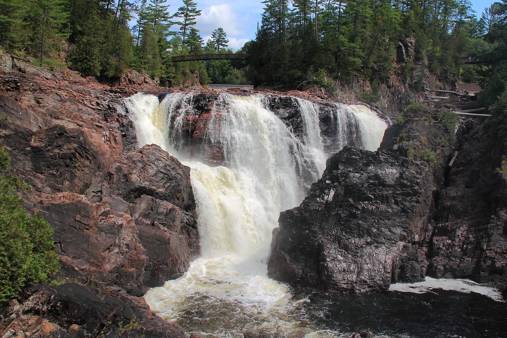
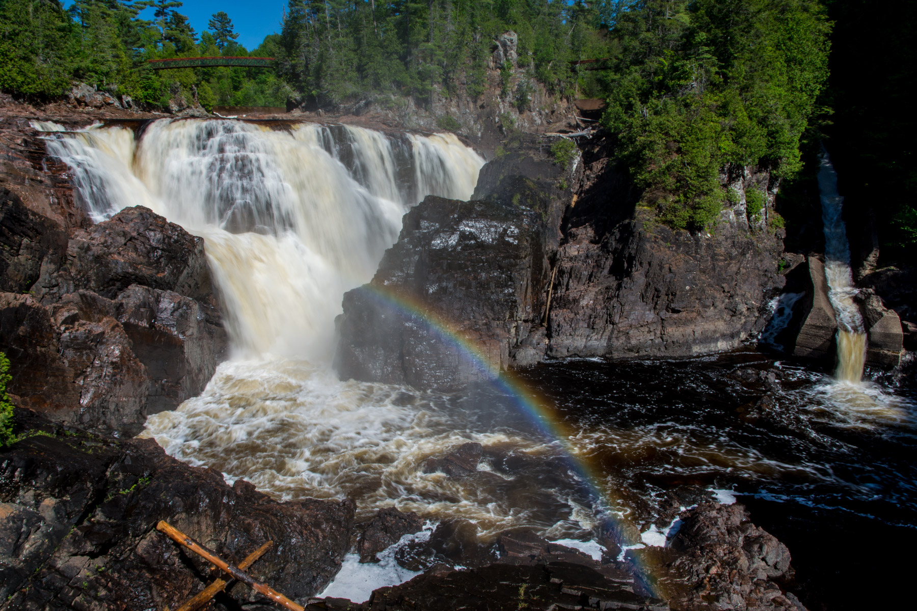
Les Chutes Coulonge 001
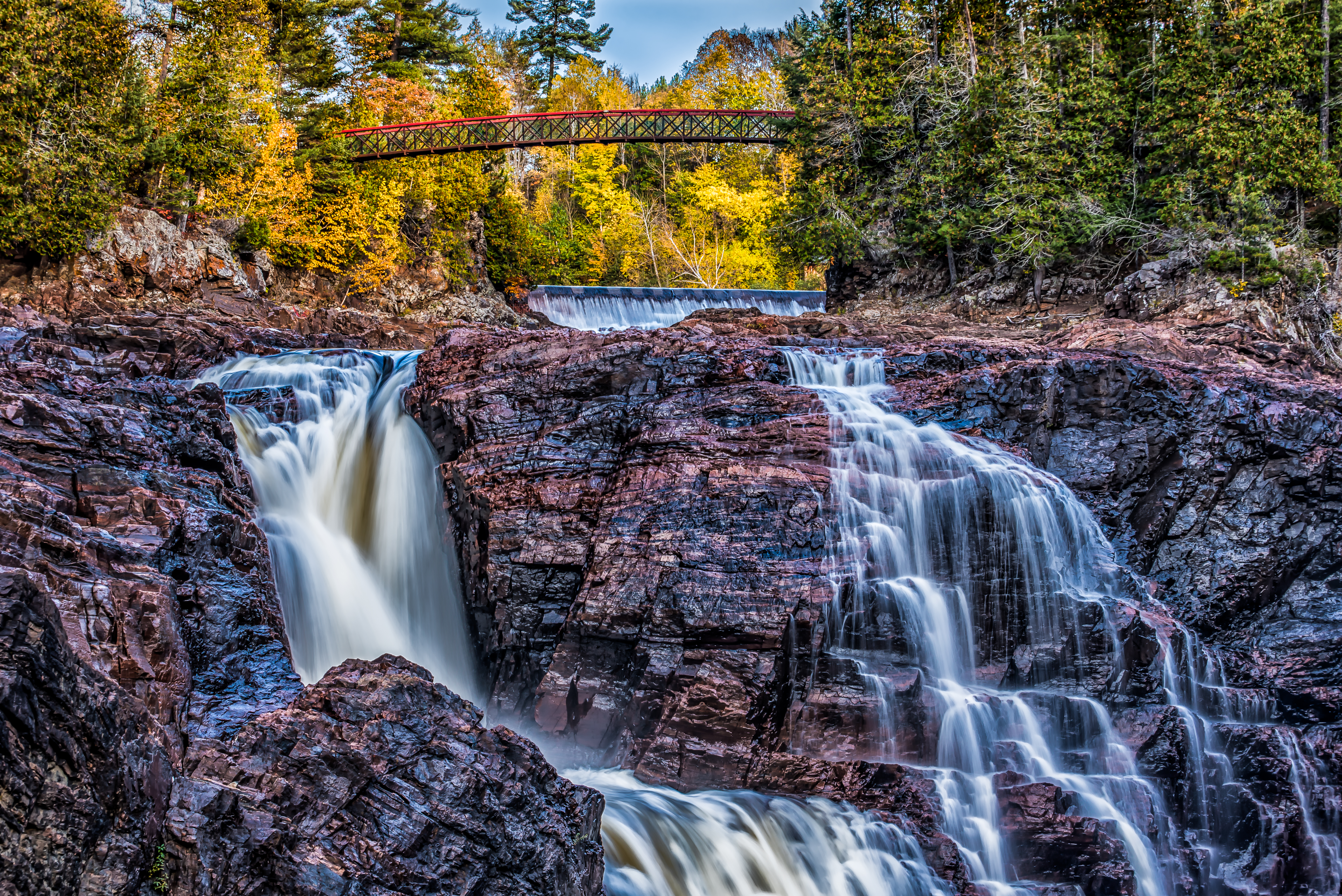
Chutes Coulonge Park -4
Chutes Coulonge Park -8
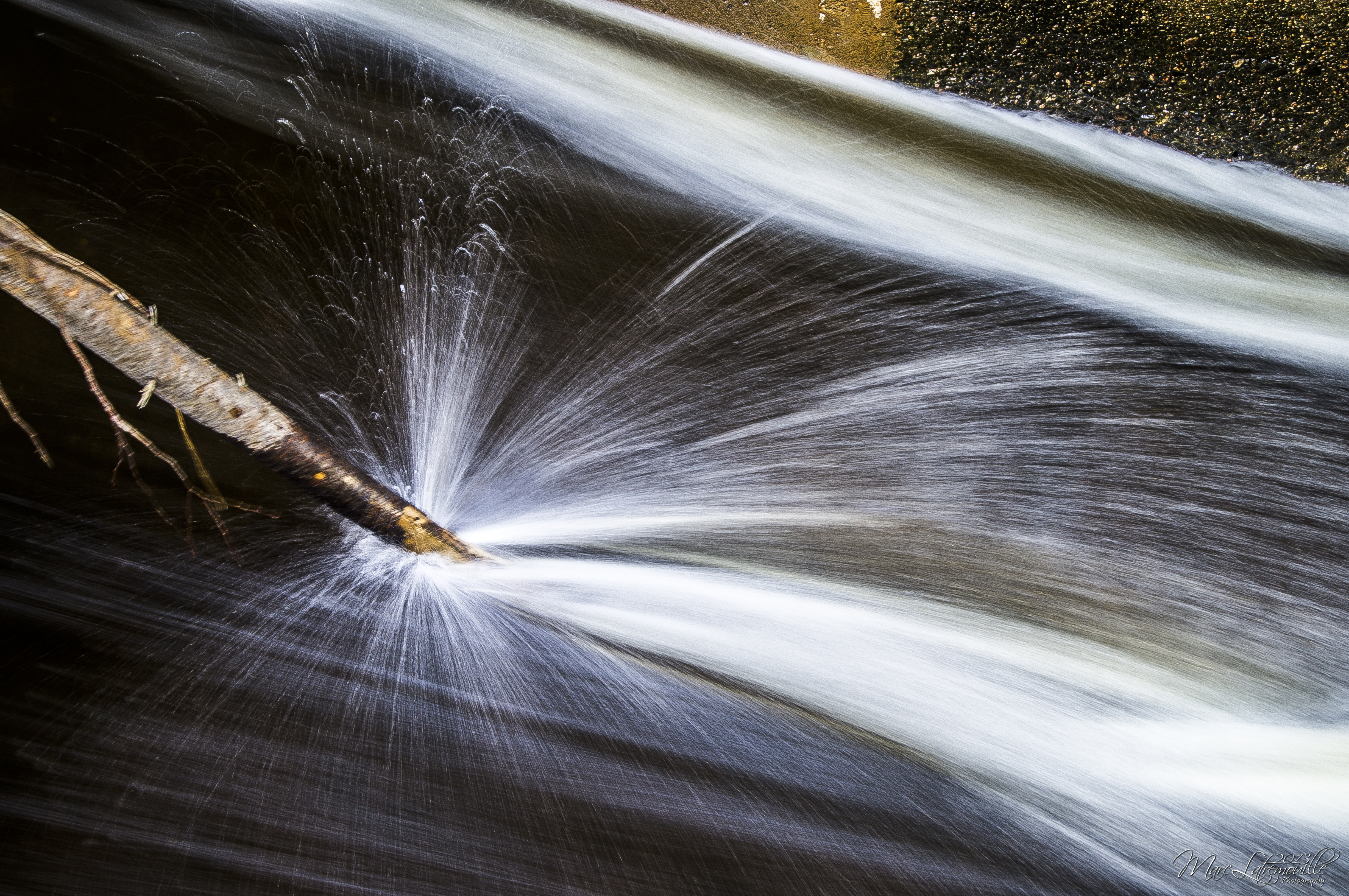
Water Sparks
Chutes Coulonge Park -1

Chutes Coulonge Park -5
_MG_9308-Edit.jpg
Ottawa River sunset
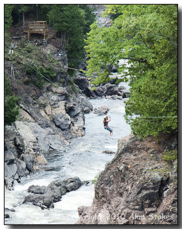
Canyon Zip-line
Above the Chutes Coulonge
Quebec hills and low cloud formation

Nice scenery on the way back
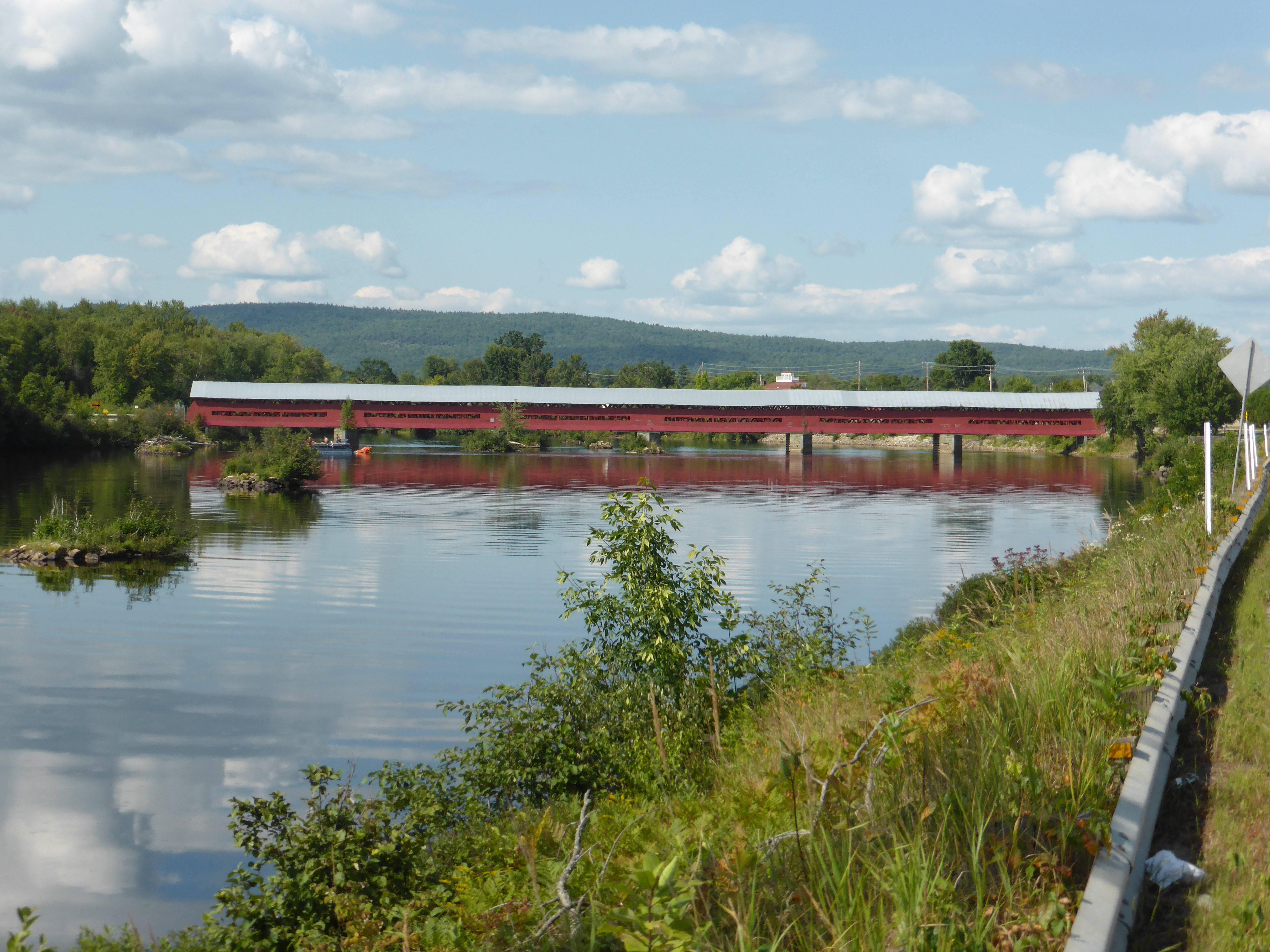
Fort Colougne Bridge
1607 - Ottawa Valley - 138

Watching the Lights go Down
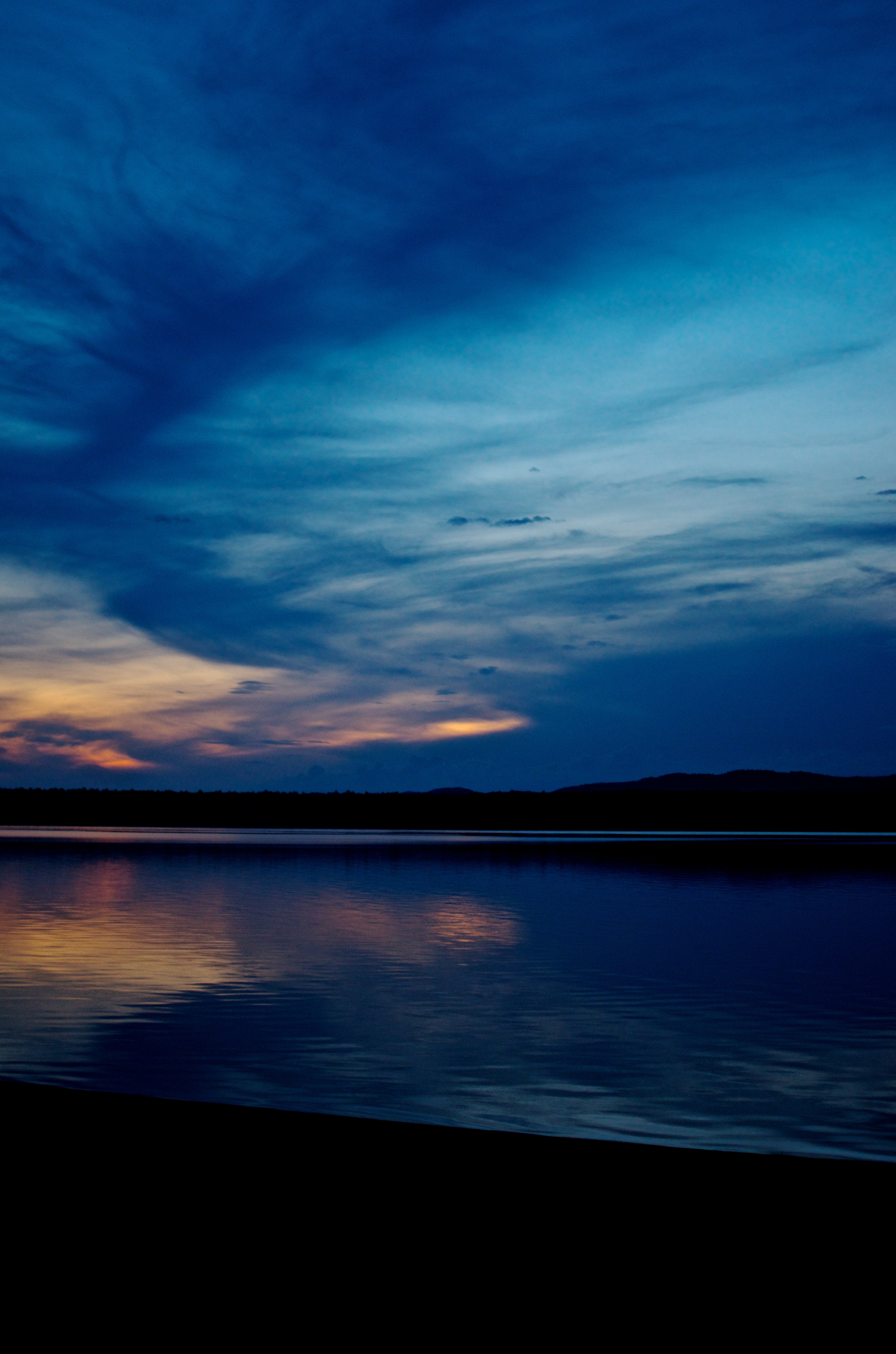
Snake Sunset
Topographic Map of Chemin du Bois Franc, Mansfield-et-Pontefract, QC J0X 1R0, Canada
Find elevation by address:

Places near Chemin du Bois Franc, Mansfield-et-Pontefract, QC J0X 1R0, Canada:
274 Chemin Du Bois Franc
810 Chemin De La Chute
J0x 1r0
Mansfield-et-pontefract
Mansfield-et-pontefract
Cycloparc PPJ, Mansfield-et-Pontefract, QC J0X, Canada
356 Greenway Dr
La Passe
434 Canola Rd
Leslie Lake
Sullivan Island
28 Chemin Leslie
Litchfield
2059 B Pleasant Valley Rd
Litchfield
Campbell's Bay
35 Rue Reid
Leslie-clapham-et-huddersfield
38 Rue Nadeau, Waltham, QC J0X 3H0, Canada
Chemin Du Lac-jim
Recent Searches:
- Elevation of Corso Fratelli Cairoli, 35, Macerata MC, Italy
- Elevation of Tallevast Rd, Sarasota, FL, USA
- Elevation of 4th St E, Sonoma, CA, USA
- Elevation of Black Hollow Rd, Pennsdale, PA, USA
- Elevation of Oakland Ave, Williamsport, PA, USA
- Elevation of Pedrógão Grande, Portugal
- Elevation of Klee Dr, Martinsburg, WV, USA
- Elevation of Via Roma, Pieranica CR, Italy
- Elevation of Tavkvetili Mountain, Georgia
- Elevation of Hartfords Bluff Cir, Mt Pleasant, SC, USA