Elevation of Centralia Alpha Rd, Chehalis, WA, USA
Location: United States > Washington > Lewis County > Chehalis >
Longitude: -122.903985
Latitude: 46.668923
Elevation: 181m / 594feet
Barometric Pressure: 0KPa
Related Photos:

Mount Saint Helen's

a2001-15-04

Aerial view of I-5 in Chehalis

Mirror view, I-5 Southbound

Aerial view of I-5 in Chehalis

Snow and rain

a2003-14-31

Governor Gregoire
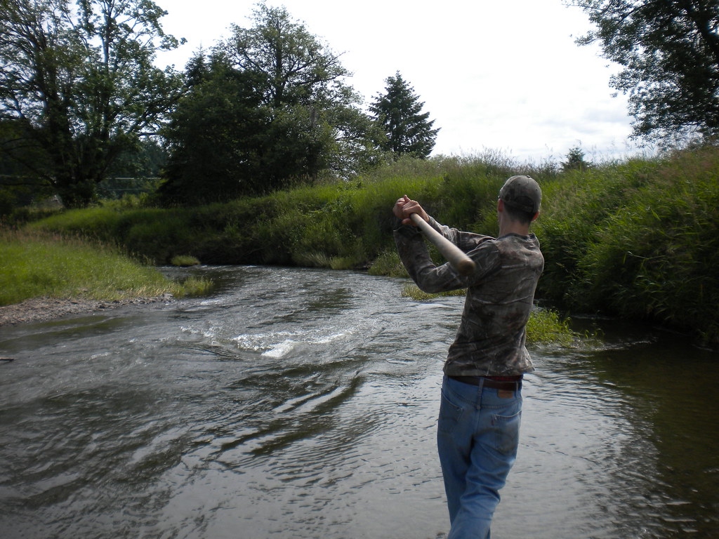
Fly Ball.... er.... Rock....

The Mummy Lives!

fan view

DSCN1621.JPG

DSCN1625.JPG

DSCN1622.JPG

DSCN1624.JPG
Topographic Map of Centralia Alpha Rd, Chehalis, WA, USA
Find elevation by address:

Places near Centralia Alpha Rd, Chehalis, WA, USA:
186 Nyman Rd
293 Chehalis Valley Dr
170 Tri Mountain Ln
112 Rainier Ct
2280 Seminary Hill Rd
337 Logan Hill Rd
2910 Jackson Hwy
Safeway
251 Yates Rd
500 Se Washington Ave
Little Hanaford Rd, Centralia, WA, USA
1818 Ham Hill Rd
316 Yates Rd
Chehalis
105 N Baker St
North Baker Street
104 S Green St
106 N Green St
North Green Street
Rice Road
Recent Searches:
- Elevation map of Nagano Prefecture, Japan
- Elevation of 587, Bascule Drive, Oakdale, Stanislaus County, California, 95361, USA
- Elevation of Stadion Wankdorf, Sempachstrasse, Breitfeld, Bern, Bern-Mittelland administrative district, Bern, 3014, Switzerland
- Elevation of Z024, 76, Emil-von-Behring-Straße, Marbach, Marburg, Landkreis Marburg-Biedenkopf, Hesse, 35041, Germany
- Elevation of Gaskill Road, Hunts Cross, Liverpool, England, L24 9PH, United Kingdom
- Elevation of Speke, Liverpool, England, L24 9HD, United Kingdom
- Elevation of Seqirus, 475, Green Oaks Parkway, Holly Springs, Wake County, North Carolina, 27540, USA
- Elevation of Pasing, Munich, Bavaria, 81241, Germany
- Elevation of 24, Auburn Bay Crescent SE, Auburn Bay, Calgary, Alberta, T3M 0A6, Canada
- Elevation of Denver, 2314, Arapahoe Street, Five Points, Denver, Colorado, 80205, USA
- Elevation of Community of the Beatitudes, 2924, West 43rd Avenue, Sunnyside, Denver, Colorado, 80211, USA
- Elevation map of Litang County, Sichuan, China
- Elevation map of Madoi County, Qinghai, China
- Elevation of 3314, Ohio State Route 114, Payne, Paulding County, Ohio, 45880, USA
- Elevation of Sarahills Drive, Saratoga, Santa Clara County, California, 95070, USA
- Elevation of Town of Bombay, Franklin County, New York, USA
- Elevation of 9, Convent Lane, Center Moriches, Suffolk County, New York, 11934, USA
- Elevation of Saint Angelas Convent, 9, Convent Lane, Center Moriches, Suffolk County, New York, 11934, USA
- Elevation of 131st Street Southwest, Mukilteo, Snohomish County, Washington, 98275, USA
- Elevation of 304, Harrison Road, Naples, Cumberland County, Maine, 04055, USA