Elevation of Yates Rd, Chehalis, WA, USA
Location: United States > Washington > Lewis County > Chehalis >
Longitude: -122.875188
Latitude: 46.622666
Elevation: 155m / 509feet
Barometric Pressure: 0KPa
Related Photos:

Aerial view of I-5 in Chehalis

Warehouse wreckage

a2001-15-04

Aerial view of I-5 in Chehalis

The Road from Winlock

Snow and rain

The Largest Egg in the World

Governor Gregoire
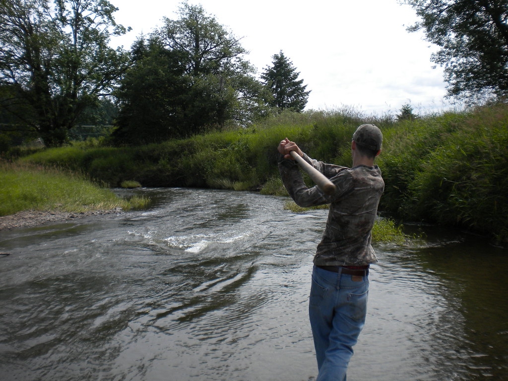
Fly Ball.... er.... Rock....

a2003-14-31

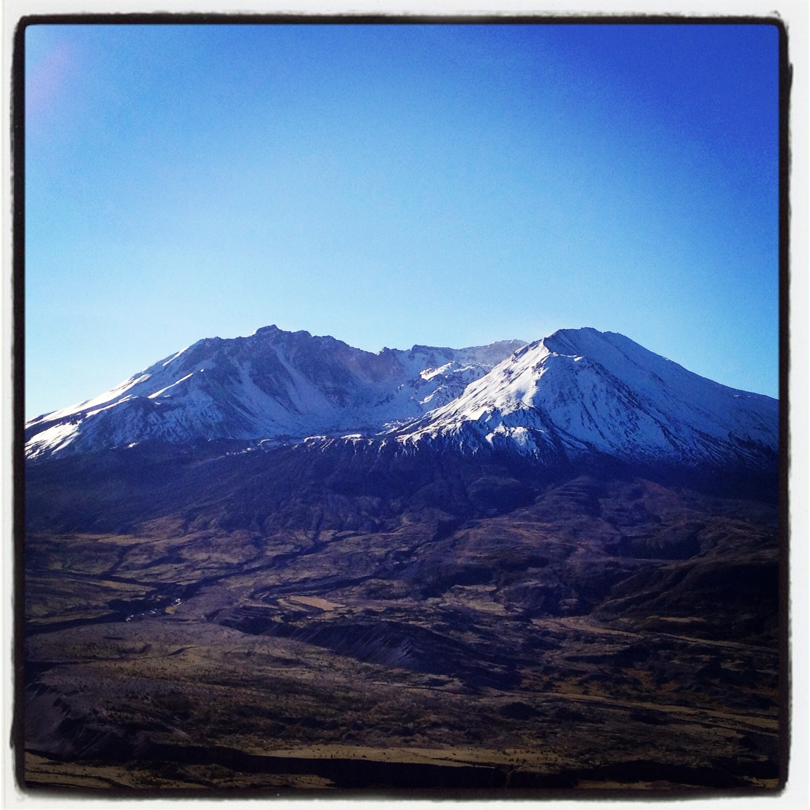
Mount Saint Helen's

The Mummy Lives!

DSCN1621.JPG

DSCN1625.JPG

DSCN1622.JPG

DSCN1624.JPG
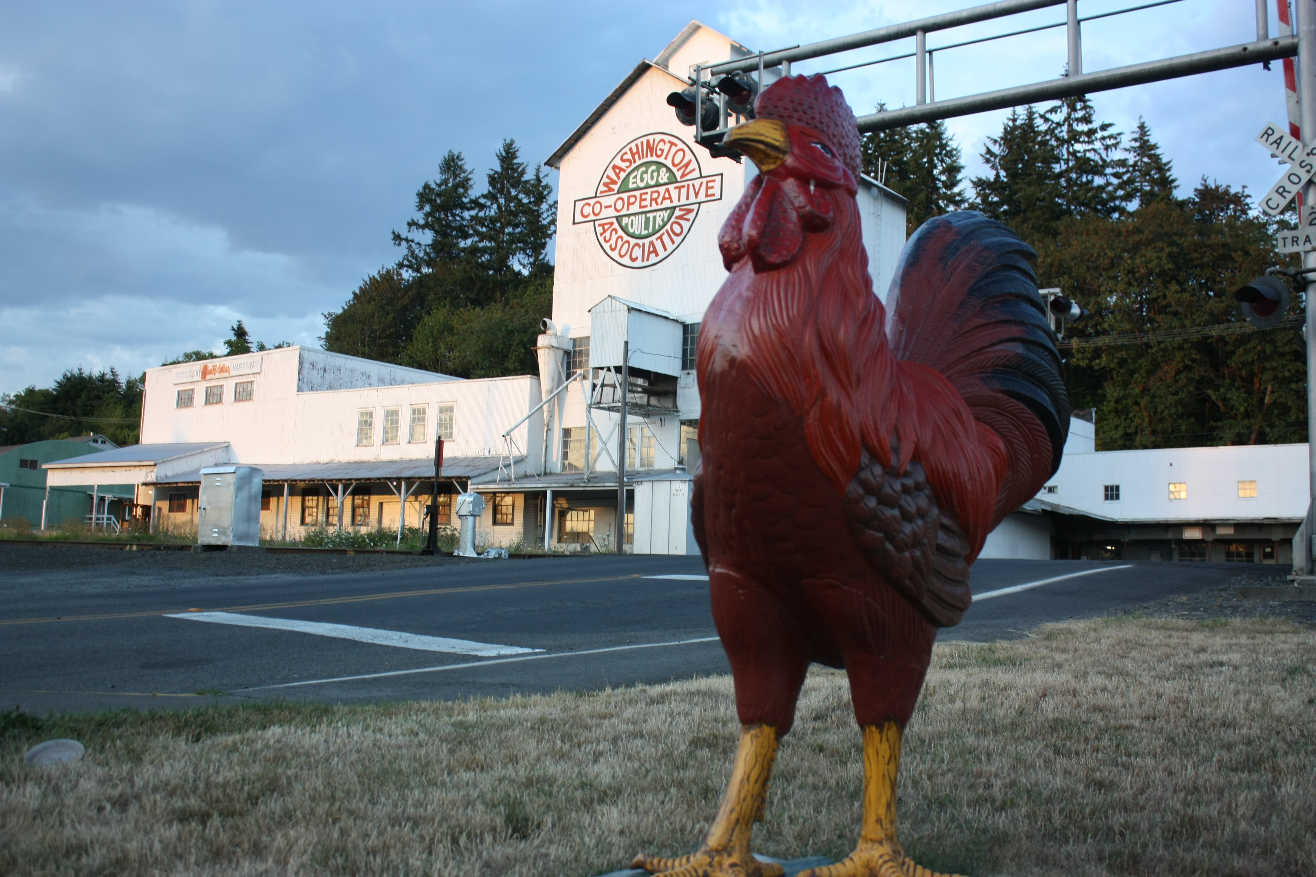
The Rooster Overlord sees all!

Seminary Hill II

Sears Creek I
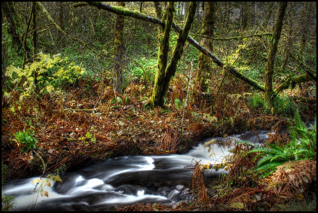
Sears Creek III
Coldwater Lake hike

Mt. Rainier: on approach to Seattle

Opened the back gate at work to see this.

Poplar Tree Plantation
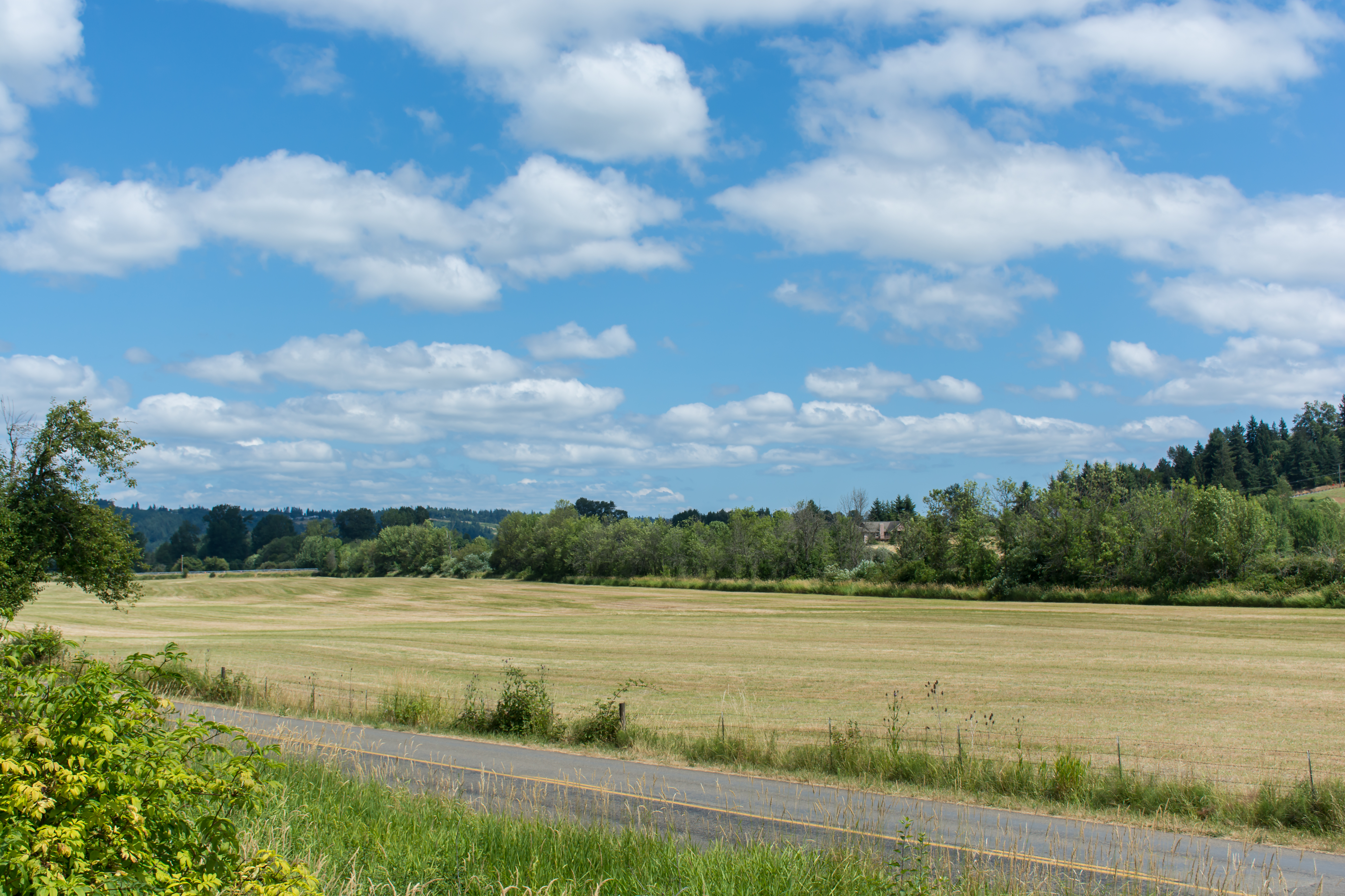
Chehalis 17
This tree is at least 10 feet in diameter! Nature is incredible.

Chehalis-Centralia Railroad 17

Chehalis-Centralia Railroad 17

Lovely sunset yesterday.

Photo Jul 31, 12 05 25 PM

mist and barn

a poplar place to be

Road Closed

Sunrise Through Trees
07.06 - Nacho Trip 07

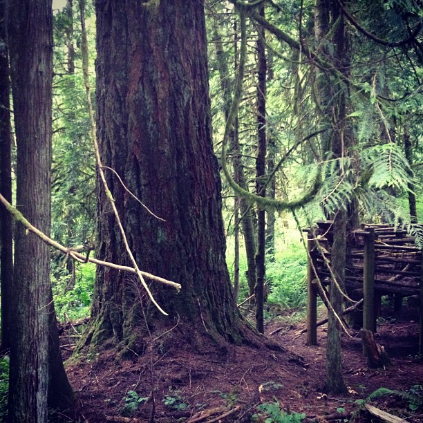
Cedar Forest, Lewis and Clark State Park, Washington, 2015

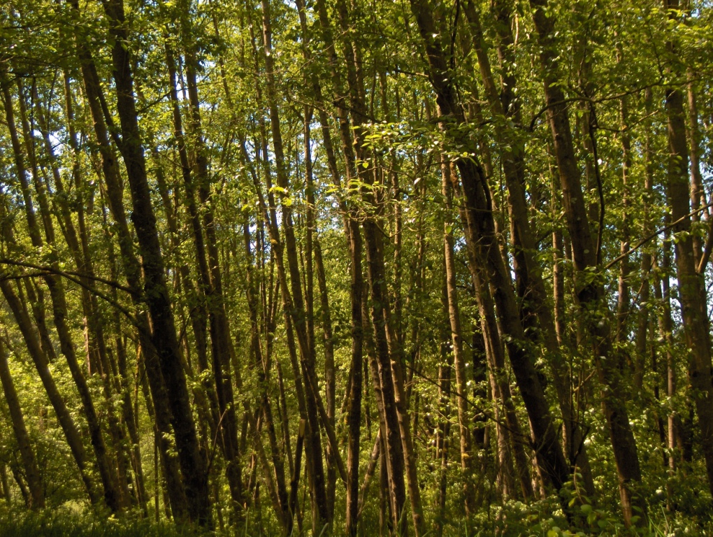
Poplar Tree Plantation, Lewis County, Washington, 2015
Topographic Map of Yates Rd, Chehalis, WA, USA
Find elevation by address:

Places near Yates Rd, Chehalis, WA, USA:
316 Yates Rd
337 Logan Hill Rd
148 Taylor Rd S
2910 Jackson Hwy
223 N Fork Rd
293 Chehalis Valley Dr
888 Logan Hill Rd
644 Centralia Alpha Rd
624 Tauscher Rd
319 Middle Fork Rd
531 Tauscher Rd
106 Norton Ln
112 Rainier Ct
186 Nyman Rd
Rice Road
170 Tri Mountain Ln
156 Haight Rd
Safeway
Little Hanaford Rd, Centralia, WA, USA
1941 Rice Rd
Recent Searches:
- Elevation map of Litang County, Sichuan, China
- Elevation map of Madoi County, Qinghai, China
- Elevation of 3314, Ohio State Route 114, Payne, Paulding County, Ohio, 45880, USA
- Elevation of Sarahills Drive, Saratoga, Santa Clara County, California, 95070, USA
- Elevation of Town of Bombay, Franklin County, New York, USA
- Elevation of 9, Convent Lane, Center Moriches, Suffolk County, New York, 11934, USA
- Elevation of Saint Angelas Convent, 9, Convent Lane, Center Moriches, Suffolk County, New York, 11934, USA
- Elevation of 131st Street Southwest, Mukilteo, Snohomish County, Washington, 98275, USA
- Elevation of 304, Harrison Road, Naples, Cumberland County, Maine, 04055, USA
- Elevation of 2362, Timber Ridge Road, Harrisburg, Cabarrus County, North Carolina, 28075, USA
- Elevation of Ridge Road, Marshalltown, Marshall County, Iowa, 50158, USA
- Elevation of 2459, Misty Shadows Drive, Pigeon Forge, Sevier County, Tennessee, 37862, USA
- Elevation of 8043, Brightwater Way, Spring Hill, Williamson County, Tennessee, 37179, USA
- Elevation of Starkweather Road, San Luis, Costilla County, Colorado, 81152, USA
- Elevation of 5277, Woodside Drive, Baton Rouge, East Baton Rouge Parish, Louisiana, 70808, USA
- Elevation of 1139, Curtin Street, Shepherd Park Plaza, Houston, Harris County, Texas, 77018, USA
- Elevation of 136, Sellers Lane, Repton, Monroe County, Alabama, 36475, USA
- Elevation of 12914, Elmington Drive, Lakewood Forest, Houston, Harris County, Texas, 77429, USA
- Elevation of 417, Camelot Drive, Statesville, Iredell County, North Carolina, 28625, USA
- Elevation of 5792, Wildridge Road, Avon, Eagle County, Colorado, 81620, USA