Elevation of Central City, PA, USA
| Latitude | 40.1106341 |
|---|---|
| Longitude | -78.8019657 |
| Elevation | 666m / 2185feet |
| Barometric Pressure | 936KPa |
Related Photos:

Camp Allegheny

Route 30 Thistles -- THROWBACK THURSDAY 7.12.18
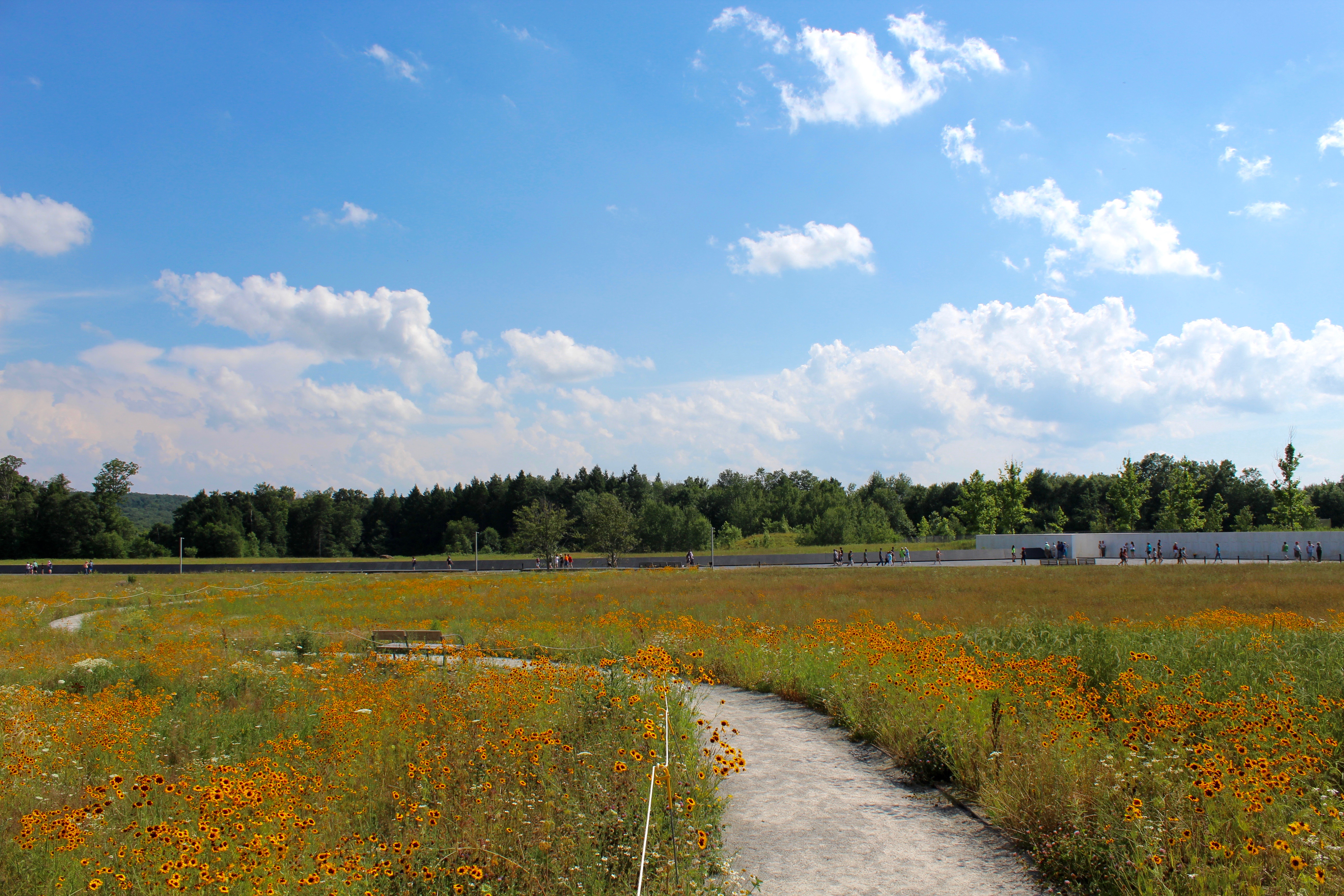
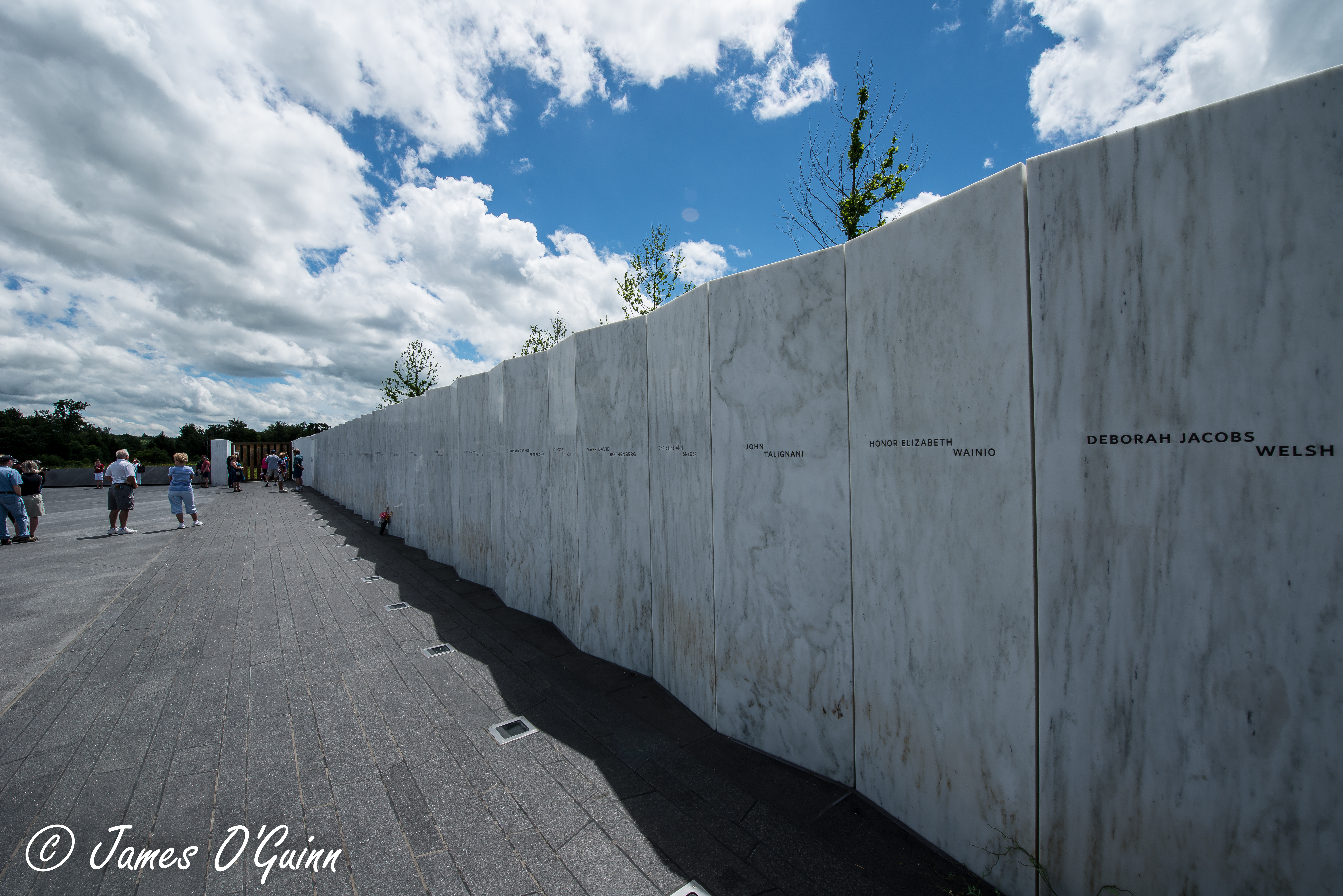
View of Memorial Wall
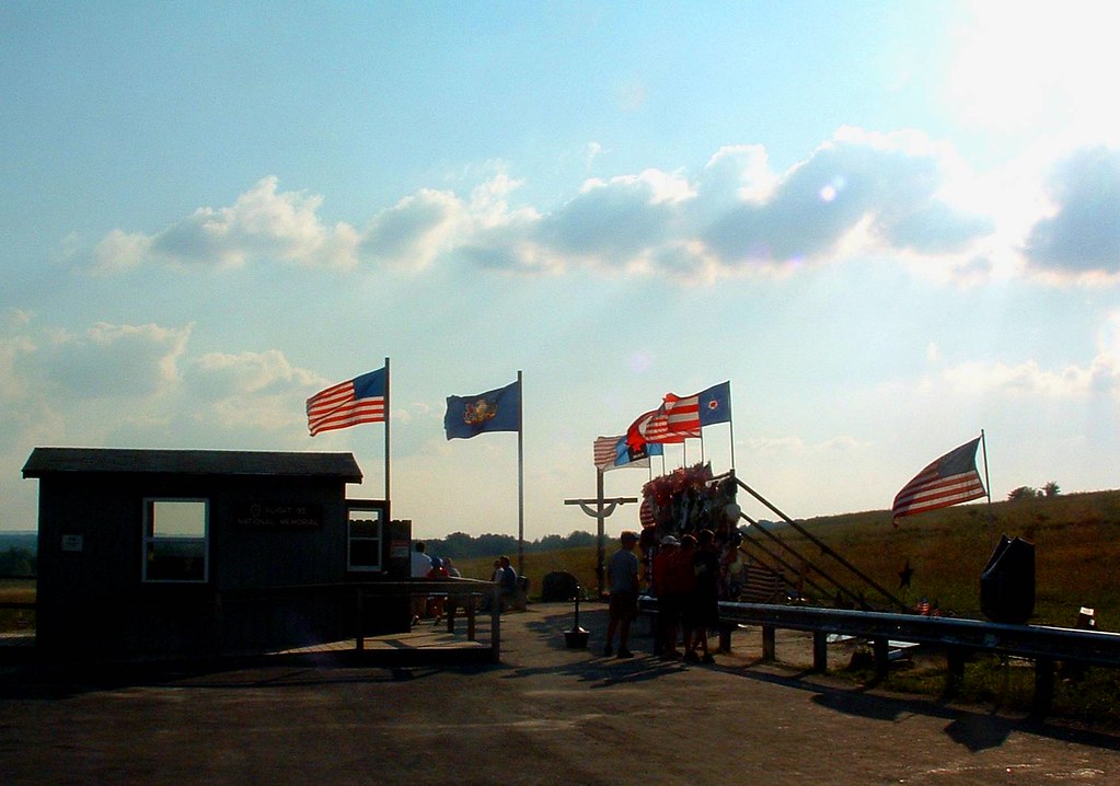
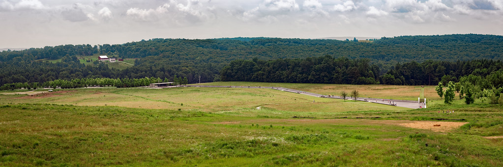
View from overlook at Flight 93 Temporary Memorial
Crash Site

M 08 The Lagoon Nebula
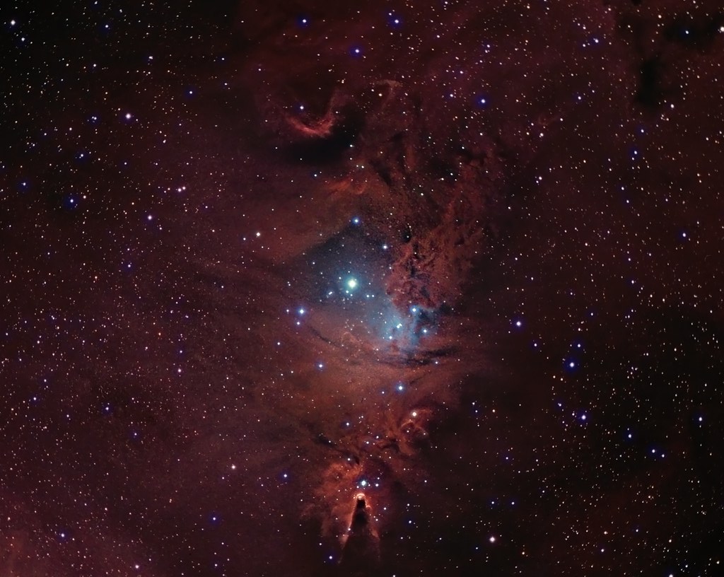
NGC 2264 CCD/DSLR Hybrid V2

Mt. Ararat
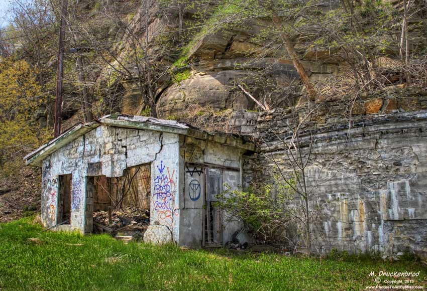
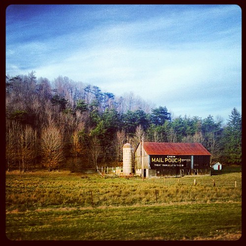
Grand View Point Service Station, Bedford Co. Pennsylvania

View from Flight Path Overlook

The Colvin Covered Bridge of Western Pennsylvania
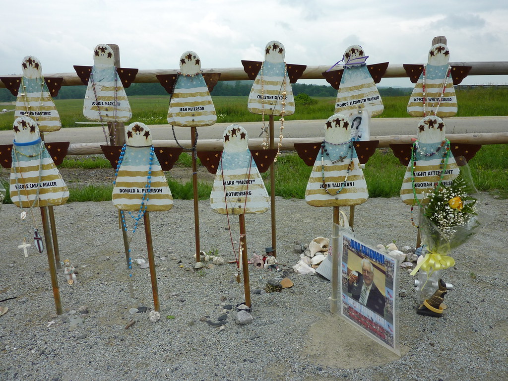
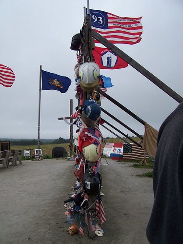
Memorial to the Victims of United Flight 93

Grand View Point Service Station, Bedford Co. PA
Full Wide View
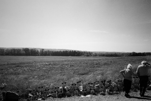
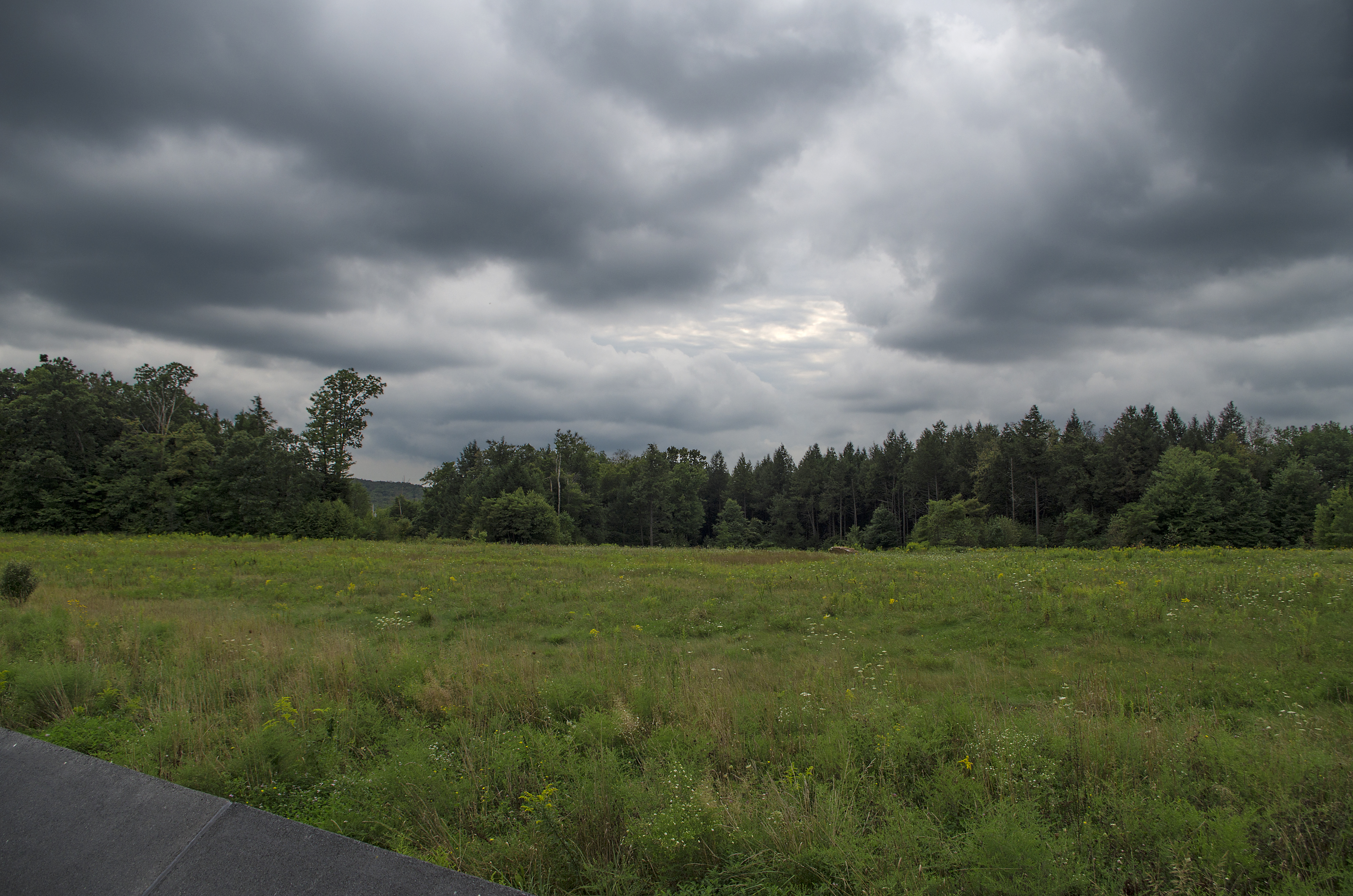
the field

Grandview Ship Hotel Mural
Flight 93 Memorial - Memorial Wall & Flight Path (2 of 3)

Flight 93 Memorial - Memorial Wall & Flight Path (1 of 3)
Full View

Cuppett's Bridge -- Bedford County, Pennsylvania
view from route 30

Colvin Covered Bridge crossing Shawnee Creek in Bedford County, PA

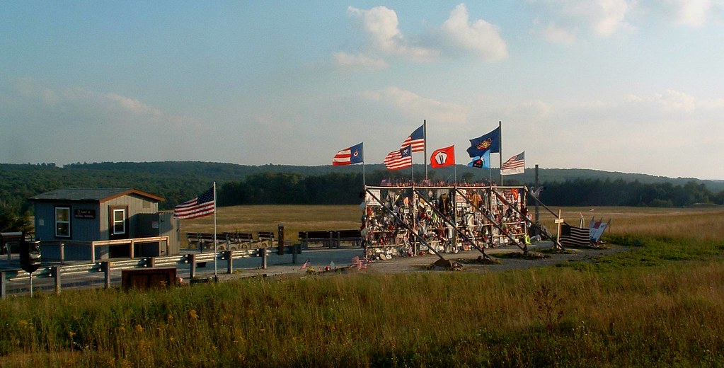
Flight 93 National Memorial

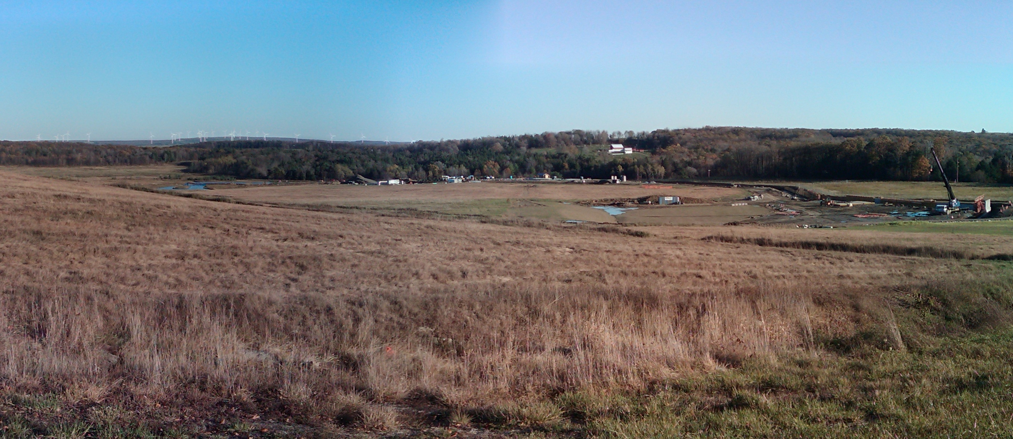
Windmill on Land 93

Paint Falls

Blue skies of Pennsylvania.

Paint Falls
along the PA Turnpike
A Field of Honor
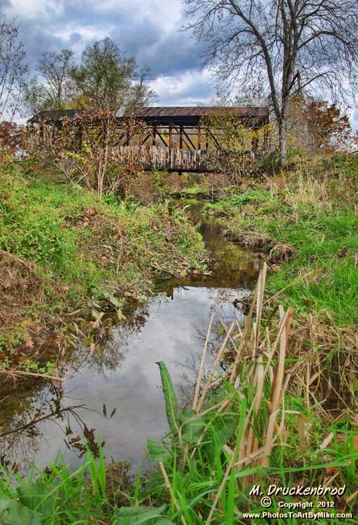
Cuppett Covered Bridge, spanning Dunnings Creek, Bedford County PA
PA countryside

Morning Light in Pennsylvania.
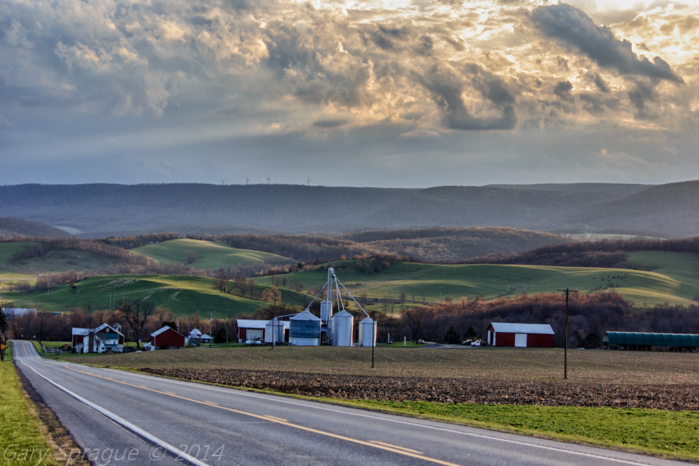
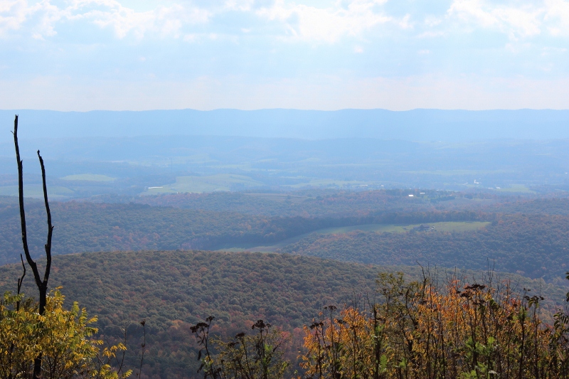
Pennsylvania's Laurel Highlands as seen from the Historical Lincoln Highway Rt30 W

Lookout Point, Allegheny Mountains, Pennsylvania

Paint Falls Side Waterfall
Flight 93 Memorial

PA Turnpike

Quemahoning Dam
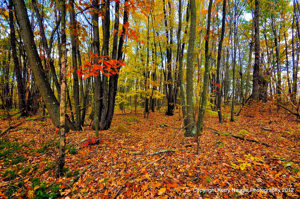
Fall leaves 2012
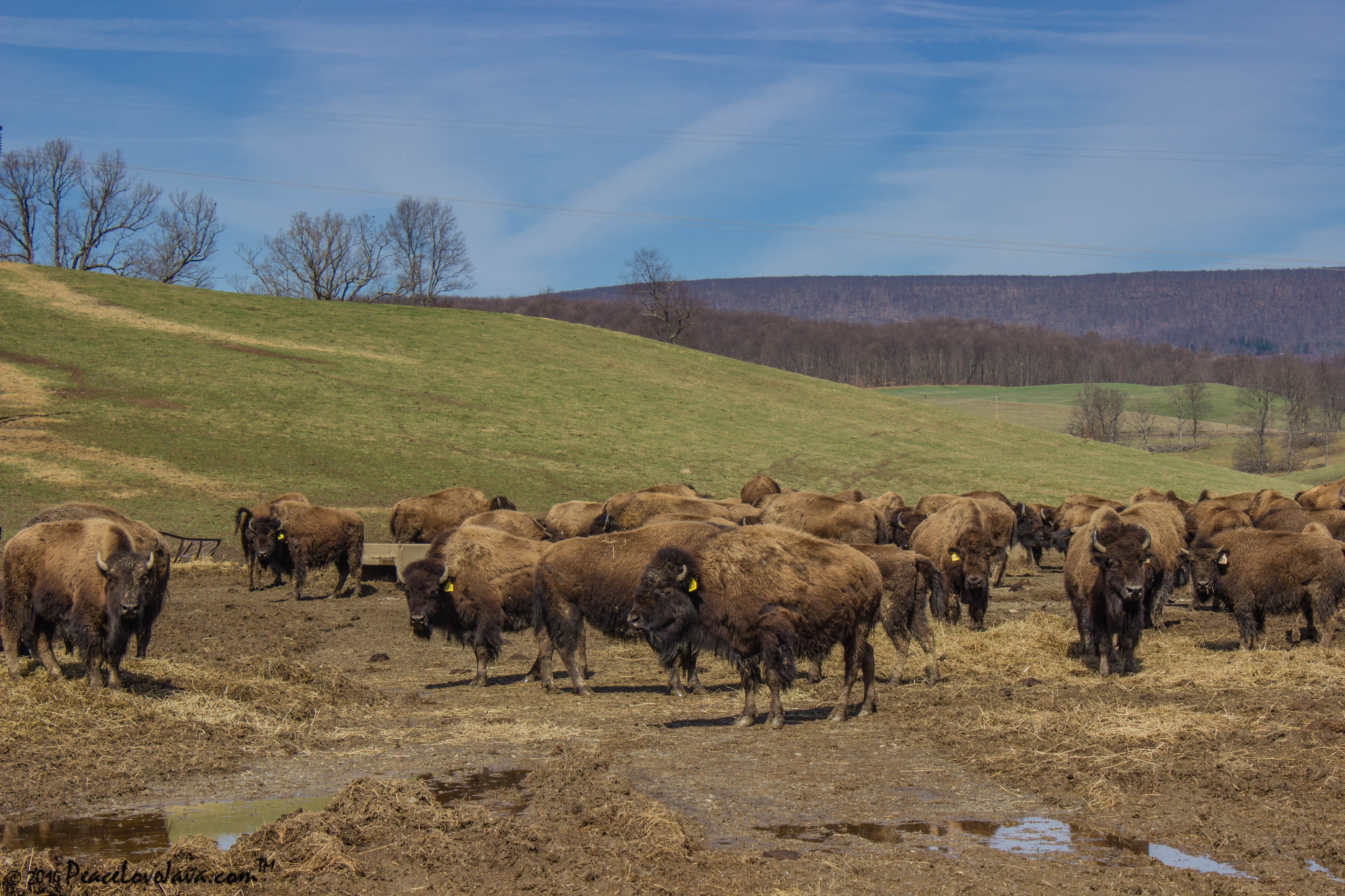
Where the Buffalo Roam
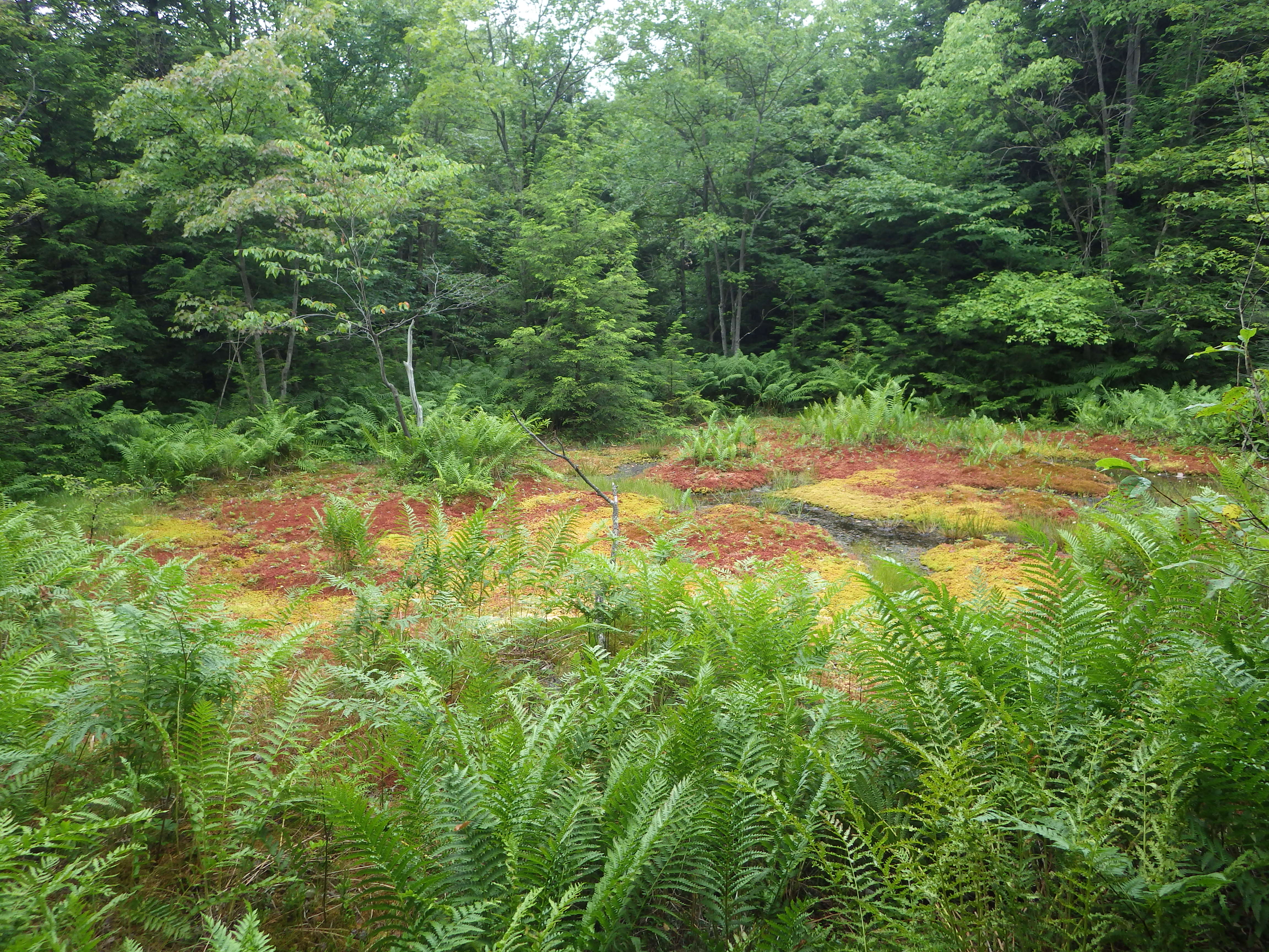
red boglet_1
Topographic Map of Central City, PA, USA
Find elevation by address:
Places near Central City, PA, USA:
Shade Township
4252 Ridge Rd
Morning Land Dr, Windber, PA, USA
1630 Louella Dr
2198 Ridge Rd
716 Dark Shade Dr
Paint Township
A St, Stoystown, PA, USA
146 B St
3124 Graham Ave
Hooversville
2510 Jackson Ave
2941 Whistler Rd
1591 Baumgardner Ave
704 13th St
Windber
600 Somerset Ave
Substation Road
120 Honeysuckle Ln
218 Park Ave
Recent Searches:
- Elevation of 104, Chancery Road, Middletown Township, Bucks County, Pennsylvania, 19047, USA
- Elevation of 1212, Cypress Lane, Dayton, Liberty County, Texas, 77535, USA
- Elevation map of Central Hungary, Hungary
- Elevation map of Pest, Central Hungary, Hungary
- Elevation of Pilisszentkereszt, Pest, Central Hungary, Hungary
- Elevation of Dharamkot Tahsil, Punjab, India
- Elevation of Bhinder Khurd, Dharamkot Tahsil, Punjab, India
- Elevation of 2881, Chabot Drive, San Bruno, San Mateo County, California, 94066, USA
- Elevation of 10370, West 107th Circle, Westminster, Jefferson County, Colorado, 80021, USA
- Elevation of 611, Roman Road, Old Ford, Bow, London, England, E3 2RW, United Kingdom
- Elevation of 116, Beartown Road, Underhill, Chittenden County, Vermont, 05489, USA
- Elevation of Window Rock, Colfax County, New Mexico, 87714, USA
- Elevation of 4807, Rosecroft Street, Kempsville Gardens, Virginia Beach, Virginia, 23464, USA
- Elevation map of Matawinie, Quebec, Canada
- Elevation of Sainte-Émélie-de-l'Énergie, Matawinie, Quebec, Canada
- Elevation of Rue du Pont, Sainte-Émélie-de-l'Énergie, Matawinie, Quebec, J0K2K0, Canada
- Elevation of 8, Rue de Bécancour, Blainville, Thérèse-De Blainville, Quebec, J7B1N2, Canada
- Elevation of Wilmot Court North, 163, University Avenue West, Northdale, Waterloo, Region of Waterloo, Ontario, N2L6B6, Canada
- Elevation map of Panamá Province, Panama
- Elevation of Balboa, Panamá Province, Panama