Elevation of Morning Land Dr, Windber, PA, USA
Location: United States > Pennsylvania > Somerset County >
Longitude: -78.814931
Latitude: 40.182282
Elevation: 642m / 2106feet
Barometric Pressure: 94KPa
Elevation Map:
Satellite Map:
Related Photos:
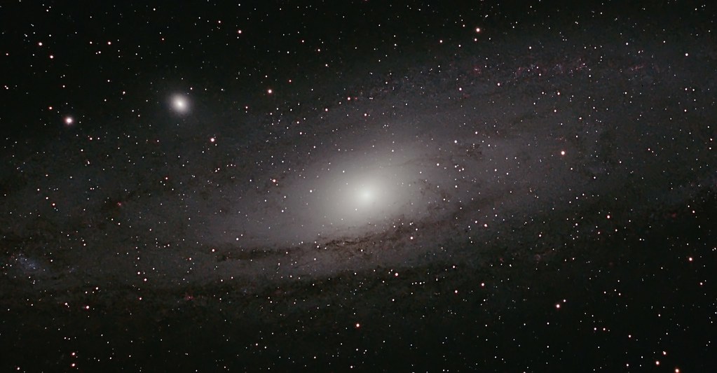
M 31 The Andromeda Galaxy

Camp Allegheny
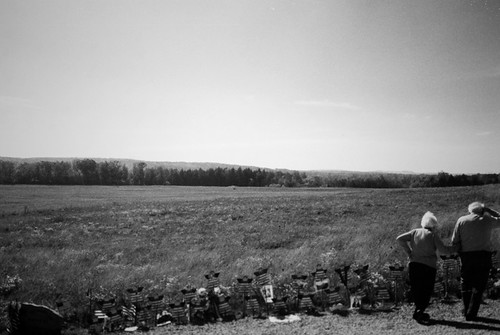
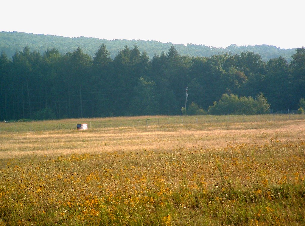
the field

M 08 The Lagoon Nebula
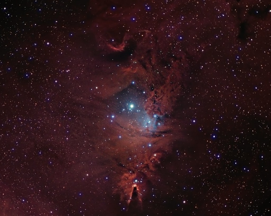
NGC 2264 CCD/DSLR Hybrid V2

House and Barn -- Bedford County, Pennsylvania

M31 FOV test
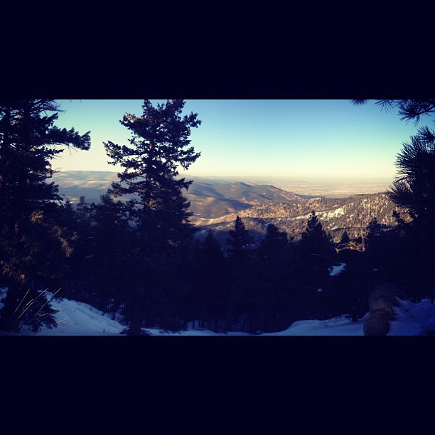
Northern View from the Flatirons.

Bedford County, Pennsylvania

Not Your Usual PRR Bridge Pt. 1

Soap Hollow Road Barn -- Somerset County, Pennsylvania
Full Wide View
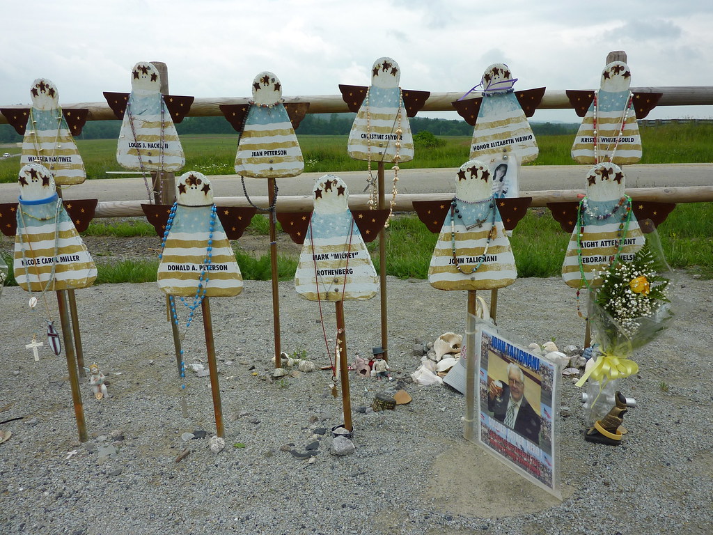
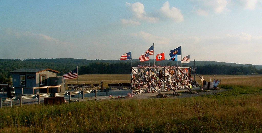
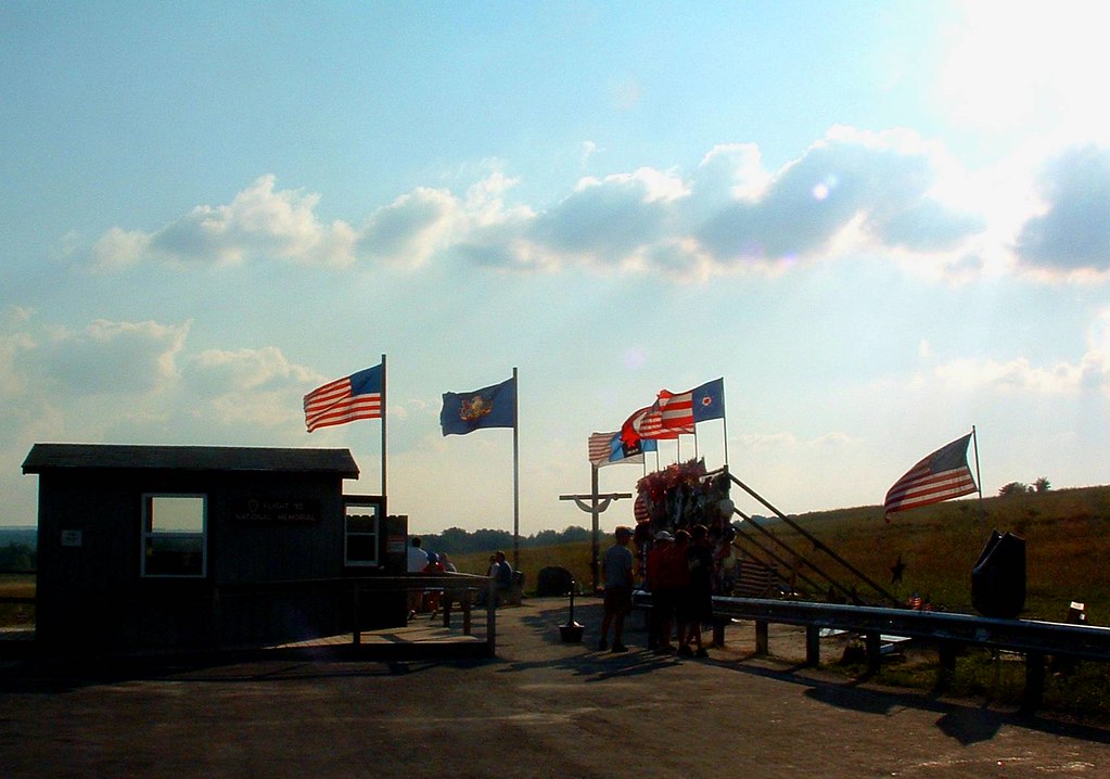
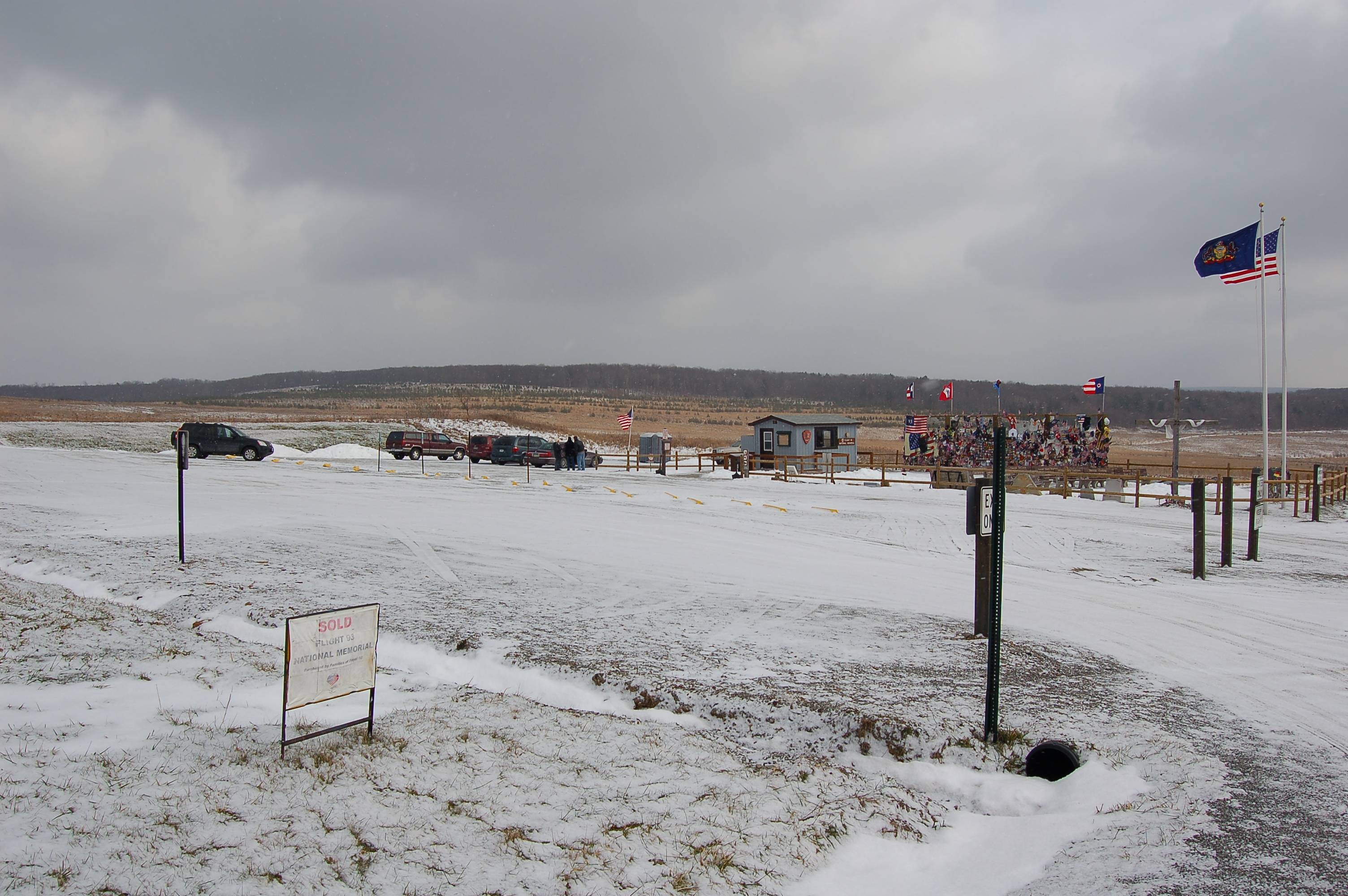
Memorial to the Victims of United Flight 93

Abandoned Locomotive -- Windber, Pennsylvania

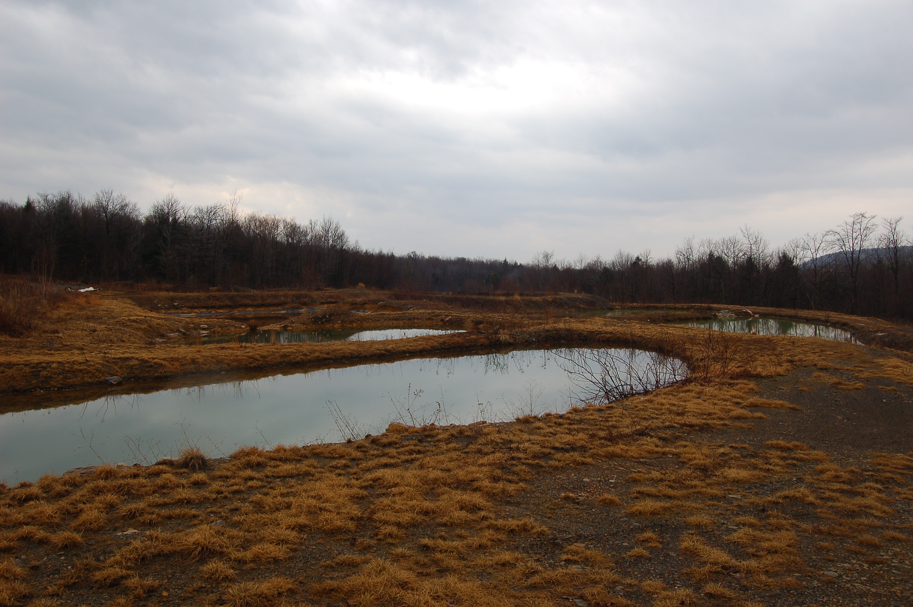
Mine 40 near Windber, PA
Gently, now, down the hill...
Full View

"Johnstown Traction Company"

White-winged Crossbill

Soap Hollow Road Barn -- Somerset County, Pennsylvania

Flight 93 National Memorial PA - 2015-12-05 (10)
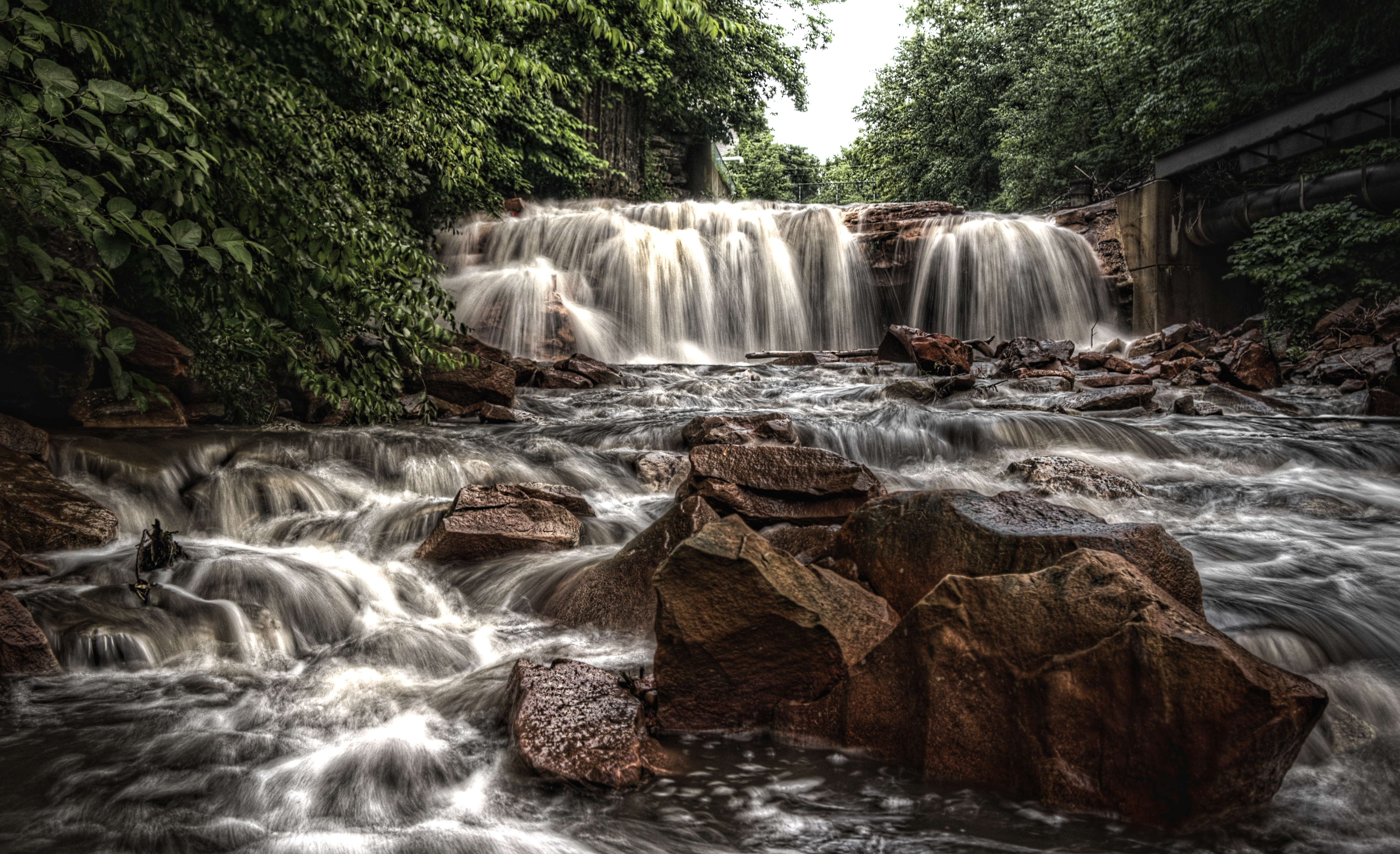
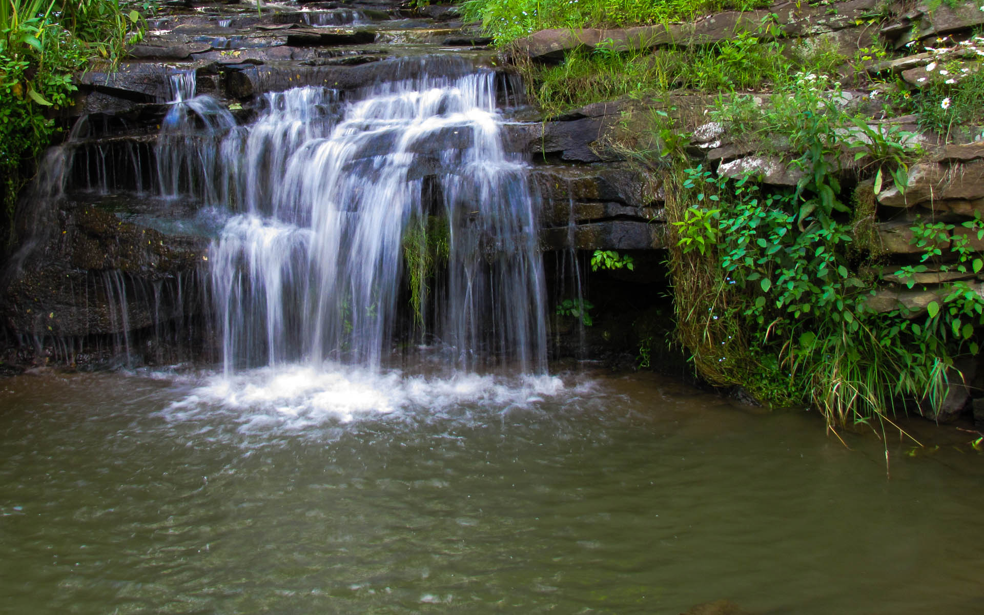
Paint Falls
Paint Falls

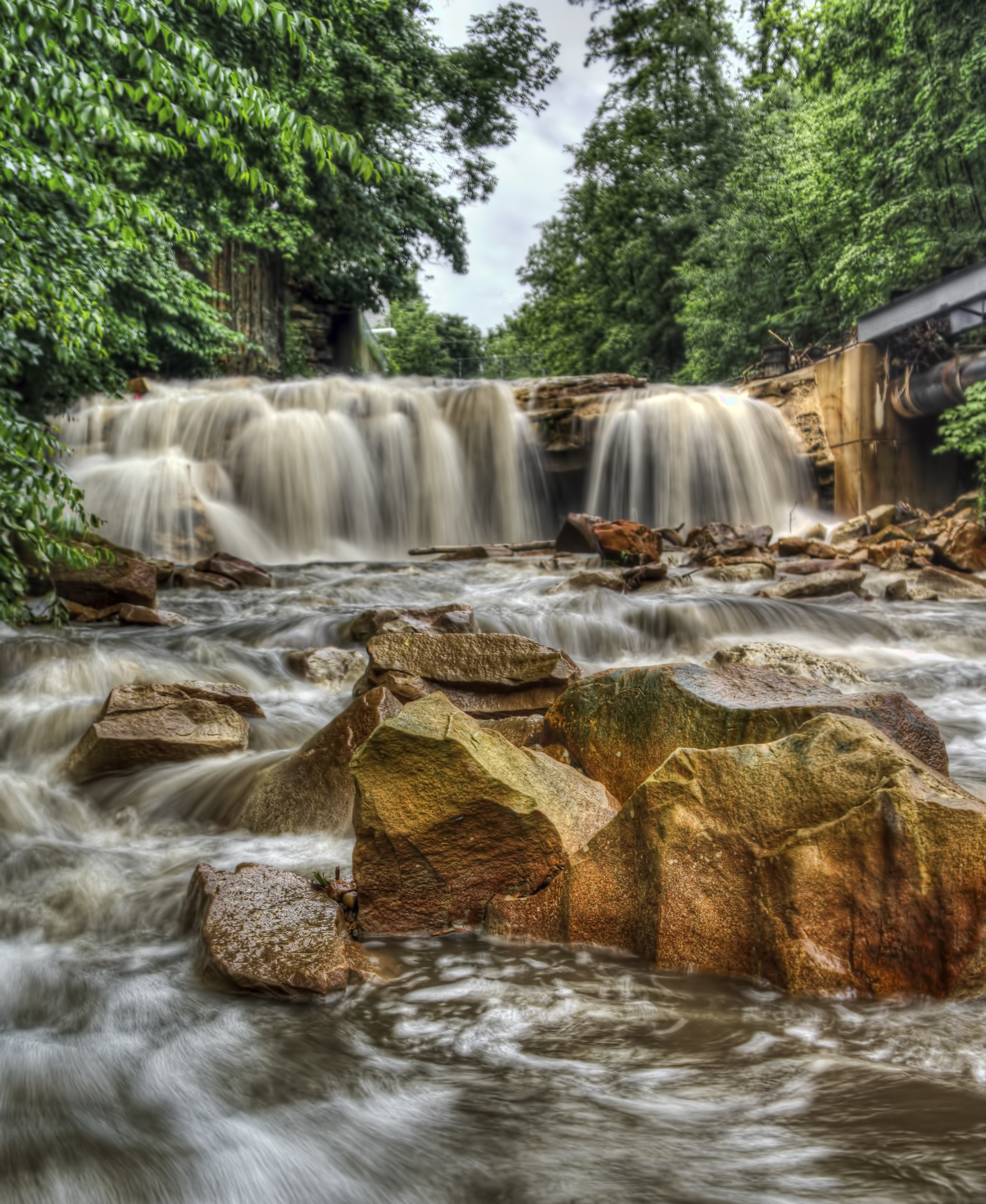
Paint Falls Side Waterfall

End of the Earth
DSC_2131.JPG
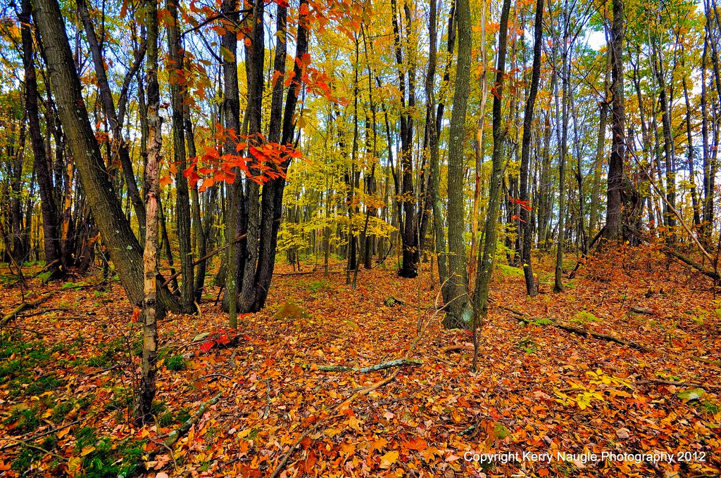
Fall leaves 2012

Let's Roll
Soap Hollow Falls
DSC_7775.JPG

grandma's farm

Windfarm over PA
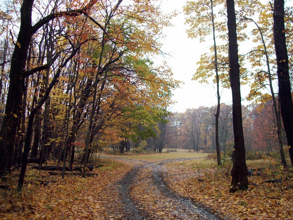
Fork in the path

Quemahoning Dam

Reflection in Bens Creek -- Somerset County, Pennsylvania

Winter Series
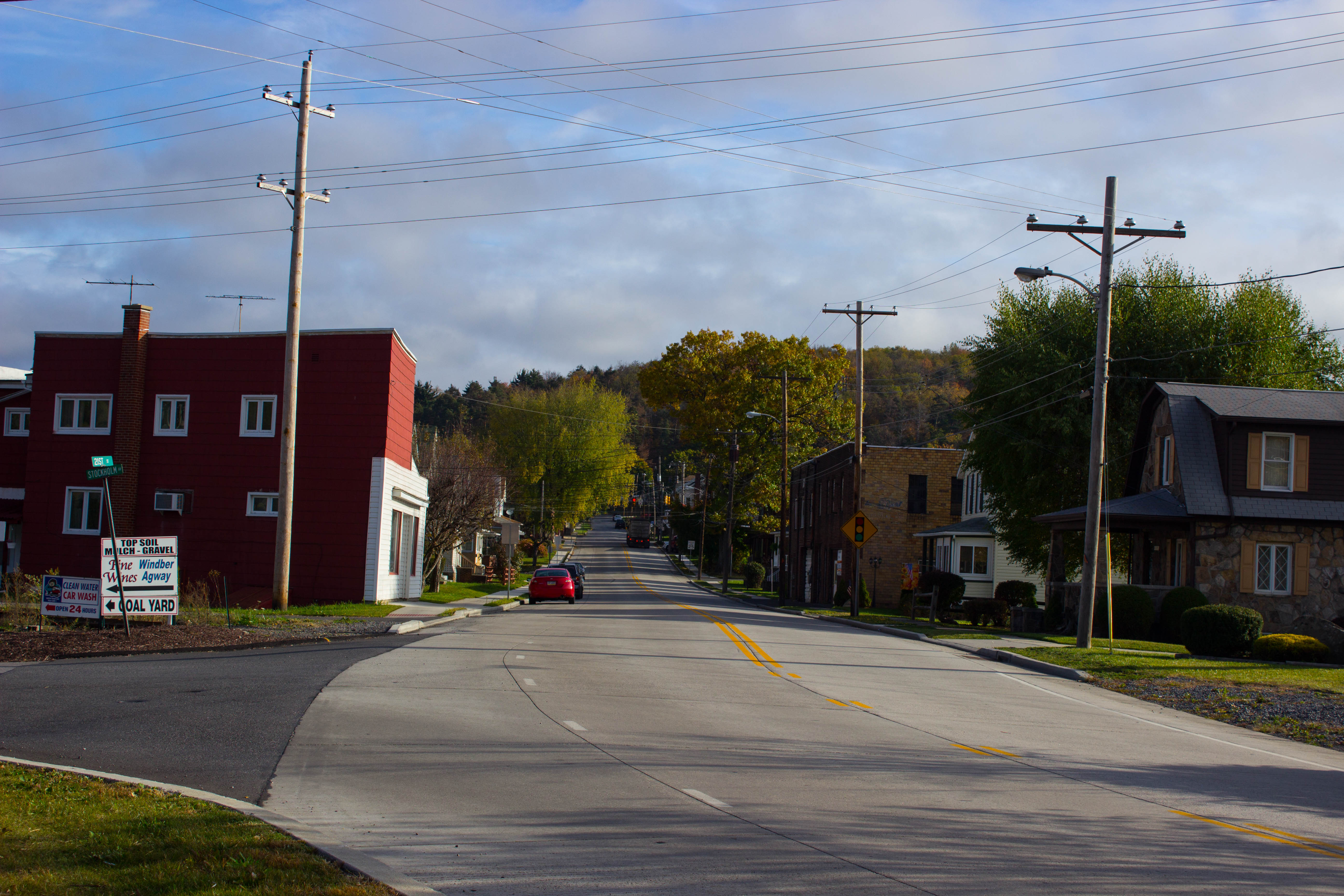
small town

Flight 93 Memorial in the distance
Field Location
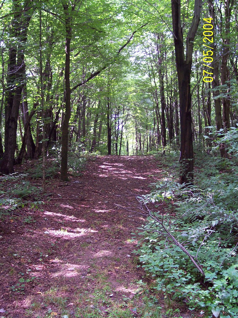
Woods in PA (Gratefulness, 6/30) by mooseisloose
Topographic Map of Morning Land Dr, Windber, PA, USA
Find elevation by address:

Places near Morning Land Dr, Windber, PA, USA:
1630 Louella Dr
716 Dark Shade Dr
3124 Graham Ave
2510 Jackson Ave
Paint Township
1591 Baumgardner Ave
704 13th St
Windber
2198 Ridge Rd
600 Somerset Ave
120 Honeysuckle Ln
218 Park Ave
Substation Road
1313 Paint St
Central City
Scalp Level
Shade Township
Hooversville
4252 Ridge Rd
A St, Stoystown, PA, USA
Recent Searches:
- Elevation of Corso Fratelli Cairoli, 35, Macerata MC, Italy
- Elevation of Tallevast Rd, Sarasota, FL, USA
- Elevation of 4th St E, Sonoma, CA, USA
- Elevation of Black Hollow Rd, Pennsdale, PA, USA
- Elevation of Oakland Ave, Williamsport, PA, USA
- Elevation of Pedrógão Grande, Portugal
- Elevation of Klee Dr, Martinsburg, WV, USA
- Elevation of Via Roma, Pieranica CR, Italy
- Elevation of Tavkvetili Mountain, Georgia
- Elevation of Hartfords Bluff Cir, Mt Pleasant, SC, USA