Elevation of Dark Shade Dr, Windber, PA, USA

Location: United States > Pennsylvania > Somerset County > Windber >

Longitude: -78.838242

Latitude: 40.2068535

Elevation: -10000m / -32808feet

Barometric Pressure: 295KPa

Elevation Map:

elevation map of Dark Shade Dr, Windber, PA, USA

Satellite Map:

Satellite map of Dark Shade Dr, Windber, PA, USA

Related Photos:

county sky tree bird silhouette clouds photo published pentax pennsylvania profile picture pa crow cambria nowpublic johnstown corvusbrachyrhynchos americancrow k10d
American Crow - Johnstown, Pennsylvania
camp fountain pond shed allegheny
Camp Allegheny
qhyccd qhy hyperstar astronomy astrophotography celestron edgehd orion alnilam mintaka optolong alnitak
At the Belt of Orion
pennsylvania johnstown nationalregister nationalregisterofhistoricplaces cambriacounty johnstowninclinedrailway
Johnstown Inclined Plane PA
panorama clouds buildings town unitedstates pennsylvania mining powerplant hugin windber industrialbuildings mine40 smcpa28mmf28 panoramaoutput
Mine 40 near Windber, PA
tower church architecture religious sandstone flood pennsylvania religion gothic methodist roofline johnstown merger unitedmethodist rosewindow brethren richardsonianromanesque nationalregister cambriacounty nrhp evangelicalunitedbrethren akronplan
Johnstown, PA-- First United Methodist Church, 1910
inclinedplanejohntownpa viewofjohnstownpafromtheinclinedplane roncogswell funicular
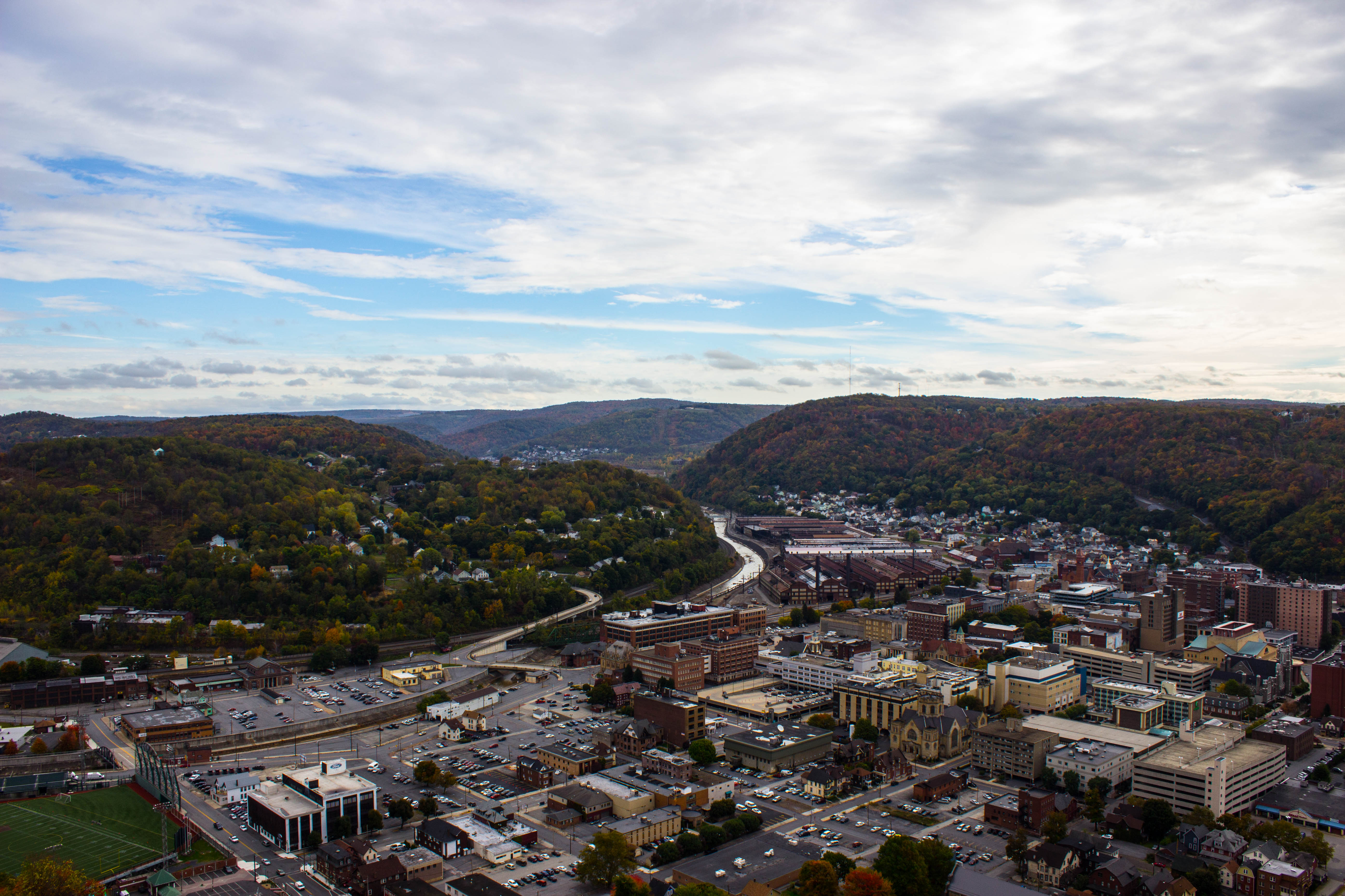
View of Johnstown (PA) from the Inclined Plane August 2017
theinclinedplanejohnstownpa roncogswell inclinedplanecarandsideviewjohnstownpa sideviewofaninclinedplanecarjohnstownpa johnstownpa
Inclined Plane Car And Side View Johnstown (PA) August 2017
inclinedplanejohntownpa viewofjohnstownpafromtheinclinedplane ascentviewofdowntownjohnstownpafromtheinclinedplane roncogswell funicular
'Ascent' -- View of Downtown Johnstown (PA) from the Inclined Plane August 2017
auto county roof hot ford car yellow photo model automobile jay pentax pennsylvania picture engine pa dash vehicle rod chopped dashboard cambria johnstown 1930 wolk 5004 z34 a k10d tciframe
1930 Ford Model A Hot Rod
pennsylvania pa johnstownpa inclinedplane cambriacounty cambriaironcompany viewfromthetopoftheinclinedplane cambriasteelco
Johnstown Pennsylvania, Cambria Iron Company
Astrometrydotnet:status=solved Astrometrydotnet:version=14400 Astrometrydotnet:id=alpha20120978619329
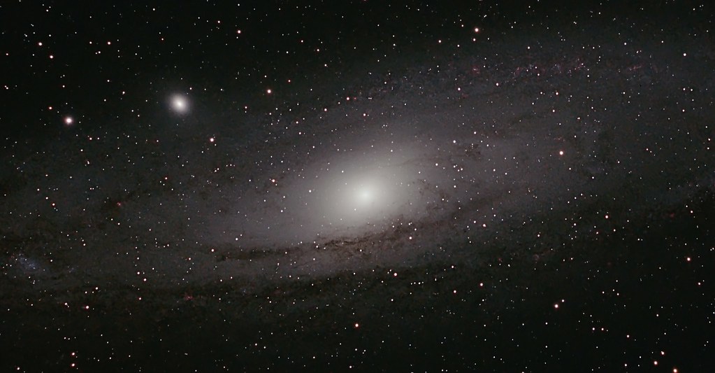
M 31 The Andromeda Galaxy
hybrid sct dlsr refractor ngc2264 conenebula Astrometrydotnet:status=solved Astrometrydotnet:version=14400 qhy9m Astrometrydotnet:id=alpha20130233422578
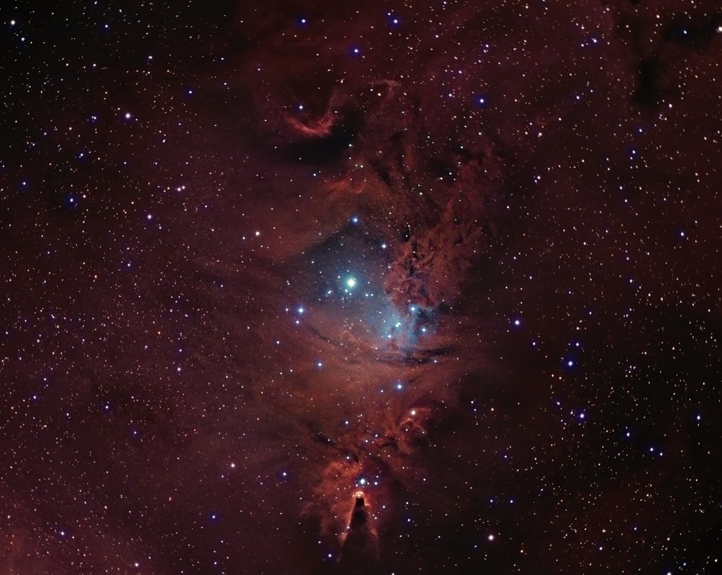
NGC 2264 CCD/DSLR Hybrid V2
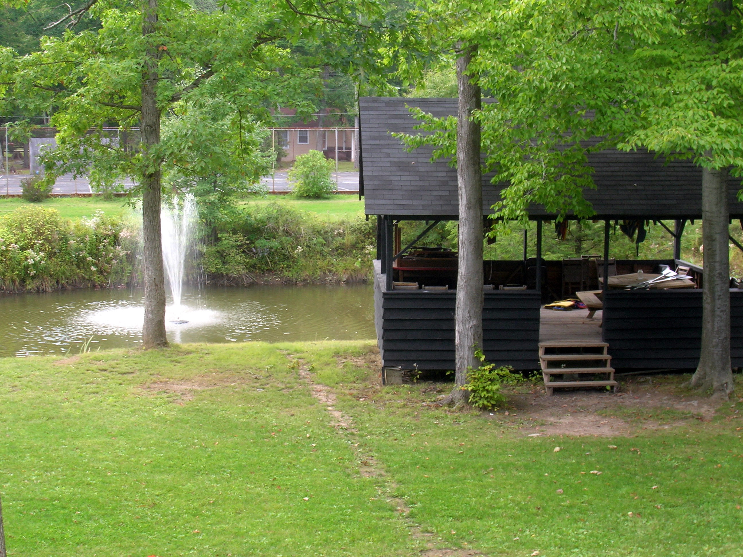
A View of the Mountains...
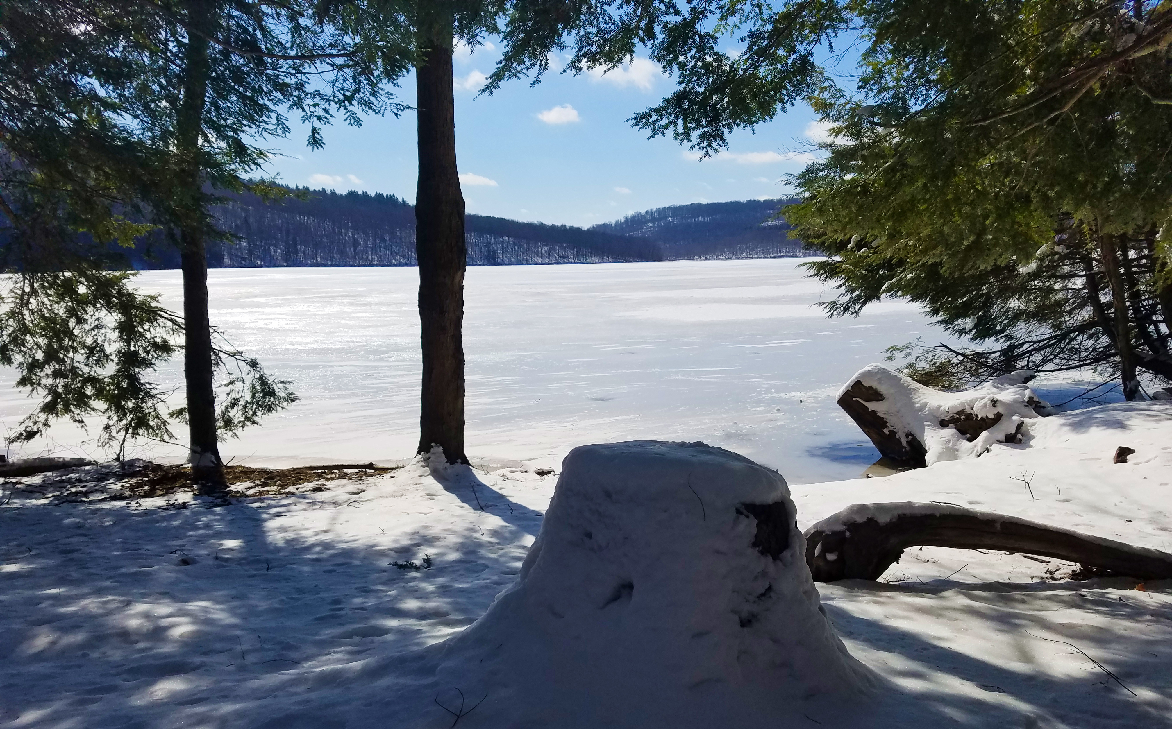
A stumped view.
county winter red snow tree barn photo pentax pennsylvania farm picture somerset pa township twp conemaugh k10d 5709ed1
Soap Hollow Road Barn -- Somerset County, Pennsylvania
county sign barn photo mail pentax jill pennsylvania farm picture nostalgia pa pouch americana chew cambria tobacco johnstown chewmailpouchtobacco treatyourselftothebest k10d gontkovic 0834ed1
My own Mail Pouch barn!
county bridge snow tree photo pentax pennsylvania picture somerset historic pa covered coveredbridge township johnstown truss shaffer twp conemaugh 5641 burrarch k10d benscreek
Shaffer Bridge -- Somerset County, Pennsylvania
county bridge snow tree photo pentax pennsylvania picture somerset historic pa covered township johnstown truss shaffer twp conemaugh 5673 burrarch k10d benscreek
Shaffer Bridge -- Somerset County, Pennsylvania
Not Your Usual PRR Bridge Pt. 1
county tree bird photo pentax cone pennsylvania picture pa rare cambria johnstown tamarack invasive whitewinged crossbill whitewingedcrossbill loxialeucoptera 6169 k10d platinumphoto irruptive
White-winged Crossbill
windmill buildings unitedstates pennsylvania windturbine agriculturalbuildings smcpa28mmf28 dunlo
20120316-K10D-13415
Blue skies of Pennsylvania.
Morning Light in Pennsylvania.
water rock waterfall rocks 1855mm hdr photomatix mirrorless hdrextremes hdraddicted flickhdr sonynex5n paintfalls
Paint Falls Side Waterfall
Quemahoning Dam
pa davidsville
grandma's farm
Fall leaves 2012
bridge plane buildings landscape town site flood pennsylvania small tourist pa incline johnstown
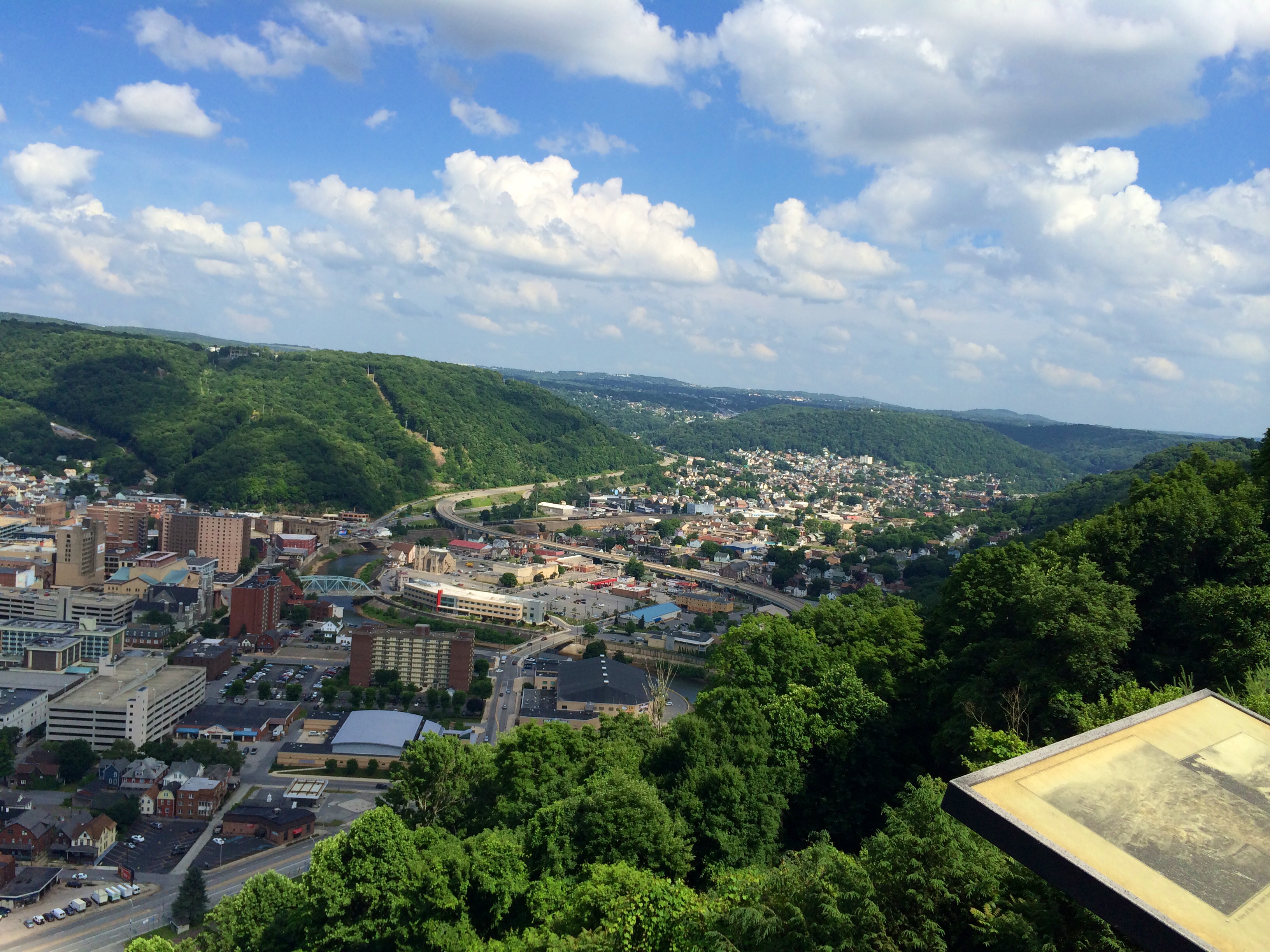
Looking out at johnstown pa
f16woo54 gallitzinstateforest somersetcounty clearshadebog peatlandsproject site landscape redboglet
red boglet_1
square squareformat iphoneography instagramapp uploaded:by=instagram
Such a beautiful town...been destroyed 3x by floods. We visited the Flood Museum and the site where the damn was today. Pretty tragic but very insightful. #JohnstownPA #JohnstownFlood
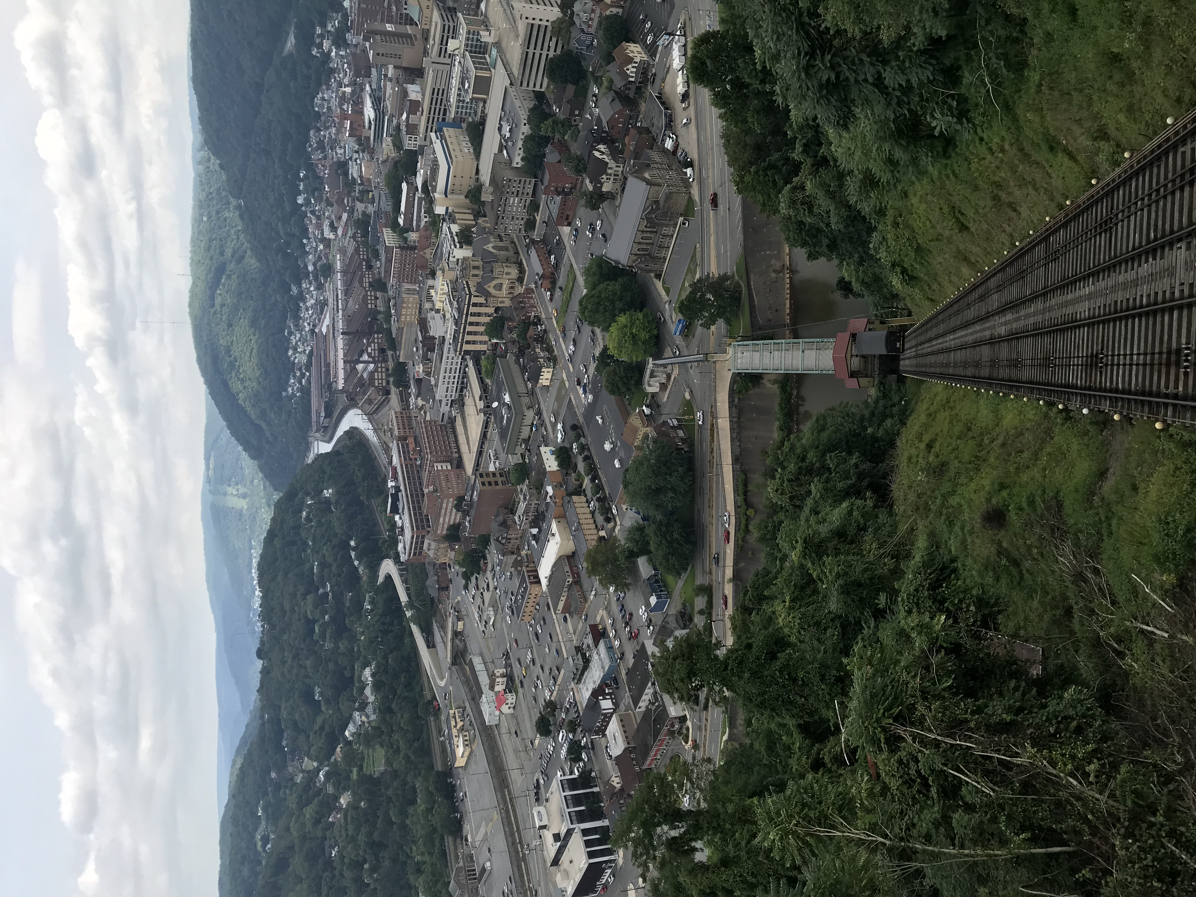
Photo Aug 10, 12 02 36 (1)
landscape waterfall unitedstates pennsylvania johnstown soaphollow
Soap Hollow Falls
f16woo54 gallitzinstateforest somersetcounty clearshadebog peatlandsproject site landscape redboglet
red boglet_2
bridge plane buildings landscape town site flood pennsylvania small tourist pa incline johnstown
inside a walkway
towerofvoices shanksville somerset county pa pennsylvania flight 93 ua93 national memorial 911 91101 september 11 2001 neverforget scenic scenery landscapes monument georgeneat patriotportraits neatroadtrips
Tower of Voices
2014 Summer trip back to the homeland of western PA.
bridge plane buildings landscape town site flood pennsylvania small tourist pa incline johnstown
Looking up at the incline plane
2014 Summer trip back to the homeland of western PA.
pennsylvania johnstown
Johnstown 6
fall woods pennsylvania hike hikes universityofpittsburghatjohnstown
Fork in the path