Elevation of Cedar Bluff, AL, USA
Location: United States > Alabama > Cherokee County >
Longitude: -85.6077402
Latitude: 34.2200942
Elevation: 181m / 594feet
Barometric Pressure: 0KPa
Related Photos:
Crow Point
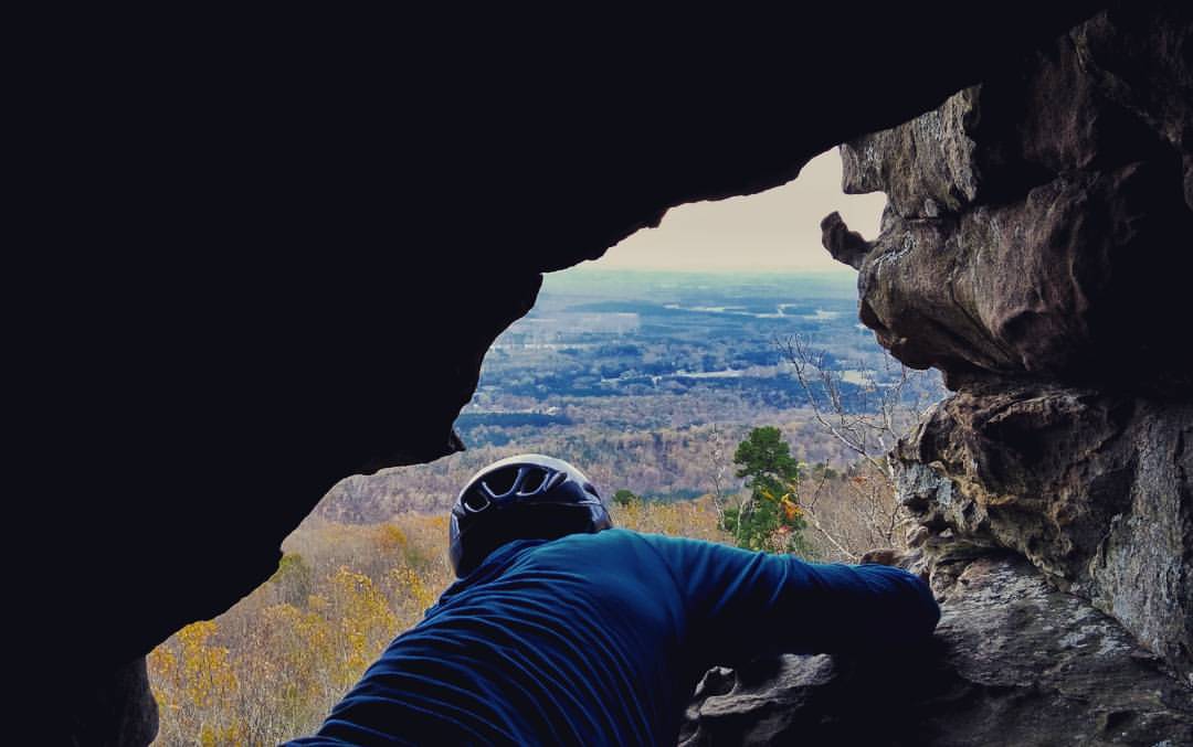
A view out the Window at #SandRock... Grateful for a day outside... 2015-11-15 #365grateful #climbing #trad #optoutside #rocks #climbingrocks

Chair With A View, Oil Painting

Sketch_Alabama The Beautiful
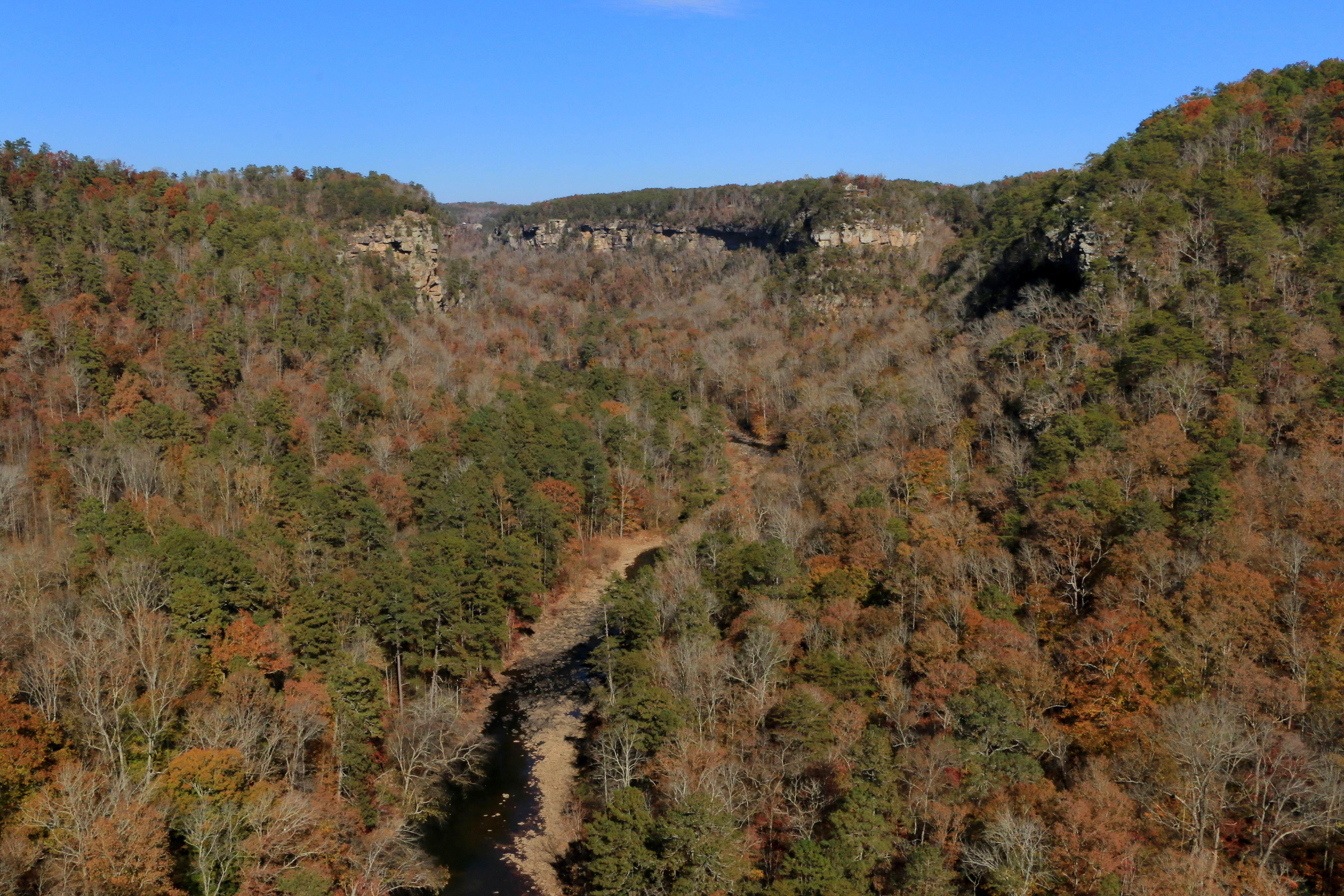
Little River Canyon, Little River Canyon National Preserve, DeKalb and Cherokee Counties, Alabama 1
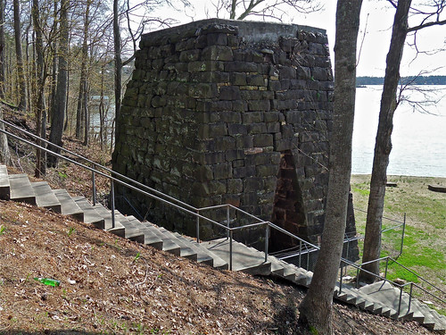
Cornwall Furnace I / Cedar Bluff, Alabama
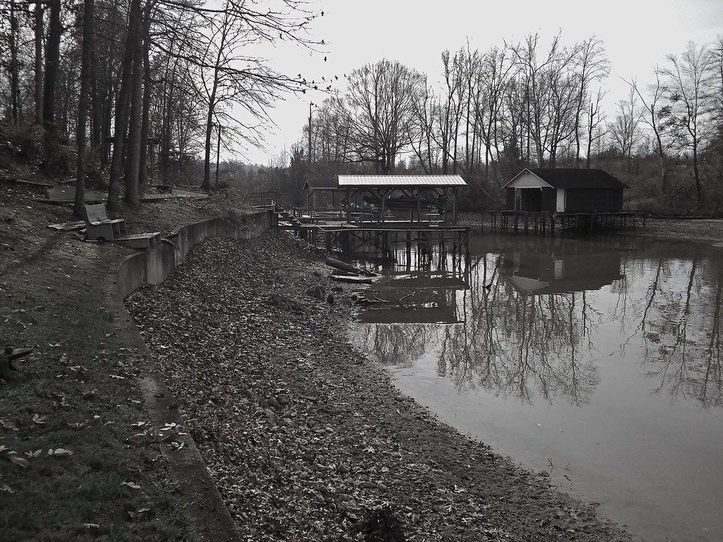
Winter Pool on Weiss Lake / December, 2015
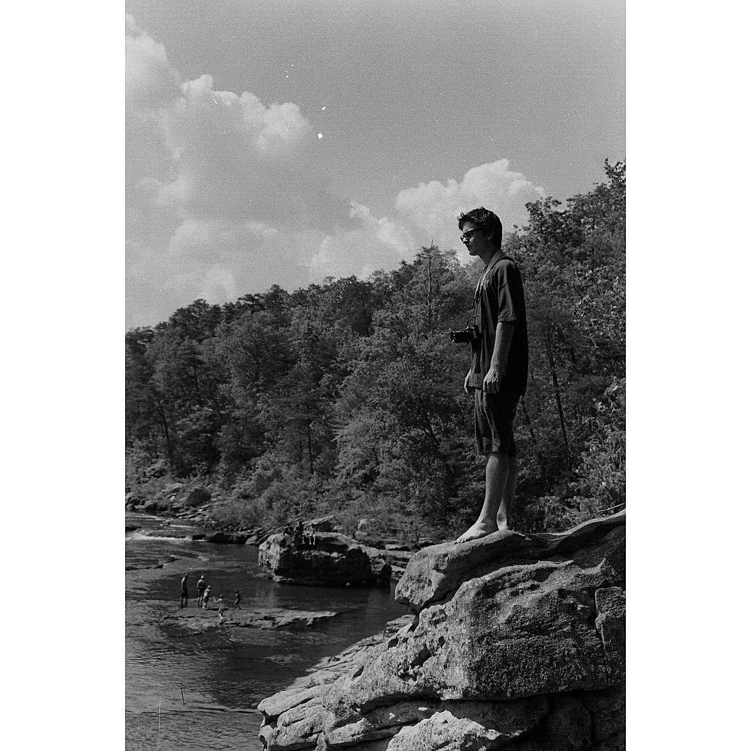
@carversqueaks enjoying the view at little river canyon Shot with Retina2c #littlerivercanyon #filmphotographic #filmisnotdead #tmax400 #retina2c #Alabama #filmphotography
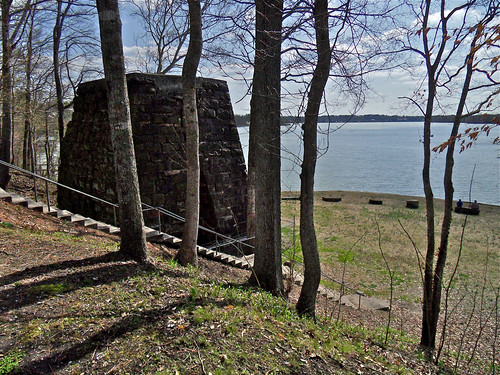
Cornwall Furnace XII / Cedar Bluff, Alabama
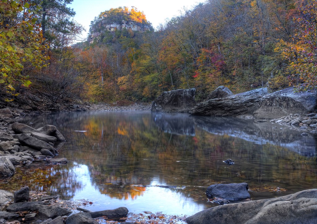
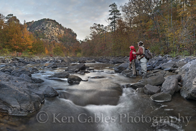
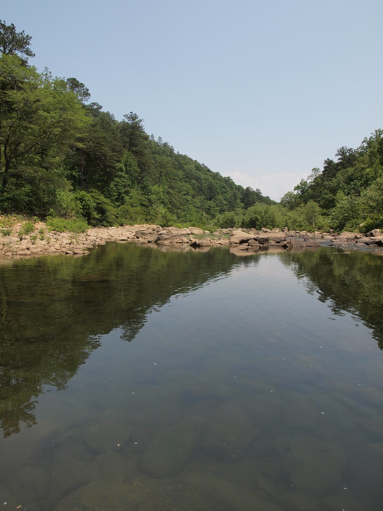
Little River Reflections and the Shooter Below the Rocky Knoll
The Mill Hole on Johnnie's Creek, Cherokee County, Alabama
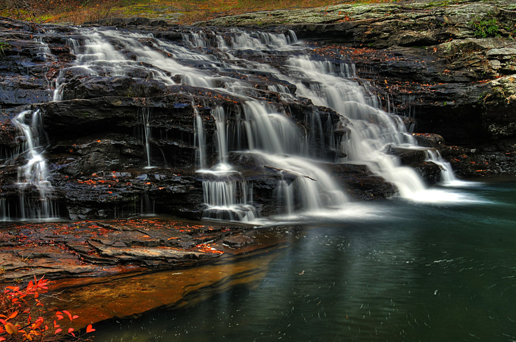
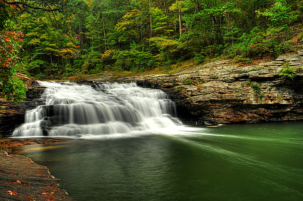
Johnnies Creek Falls
Little River Canyon National Preserve, Dekalb County, Alabama
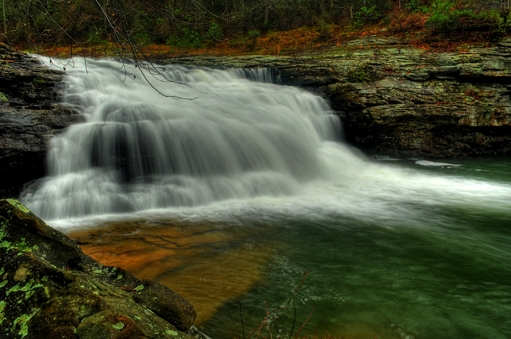
Johnnies Creek Falls

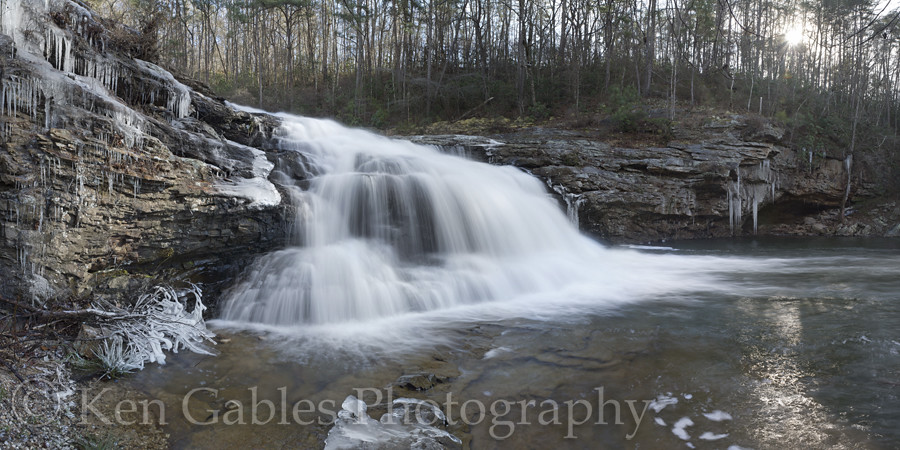
Yellow Creek Falls
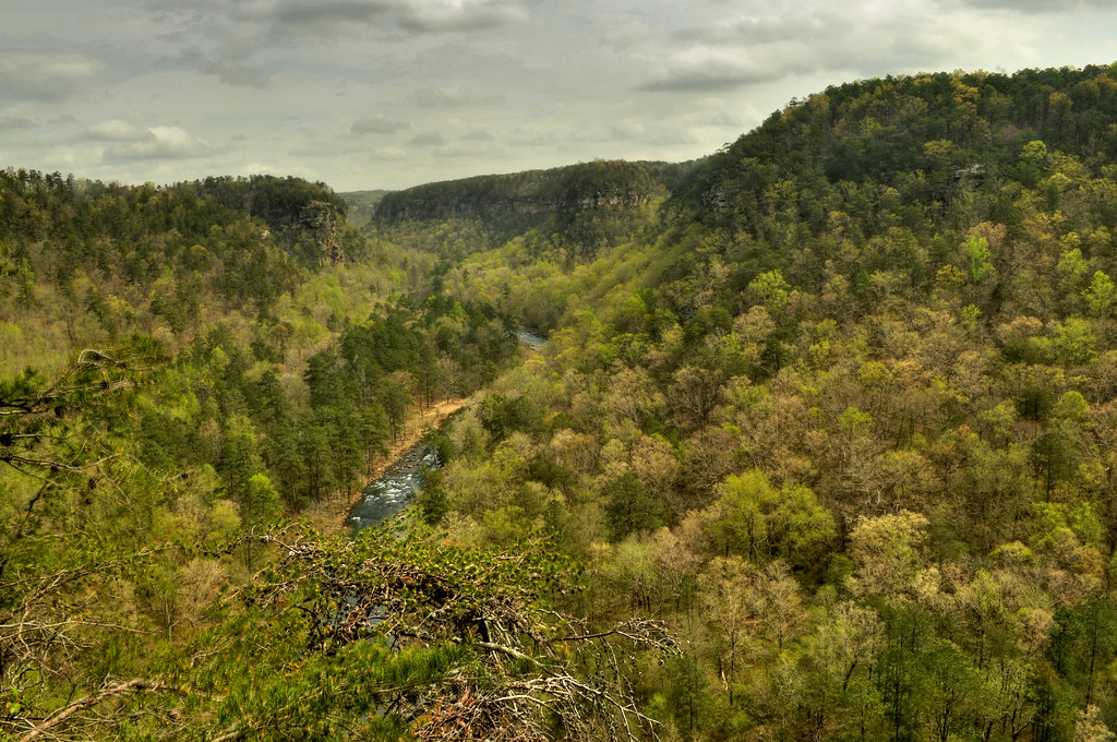
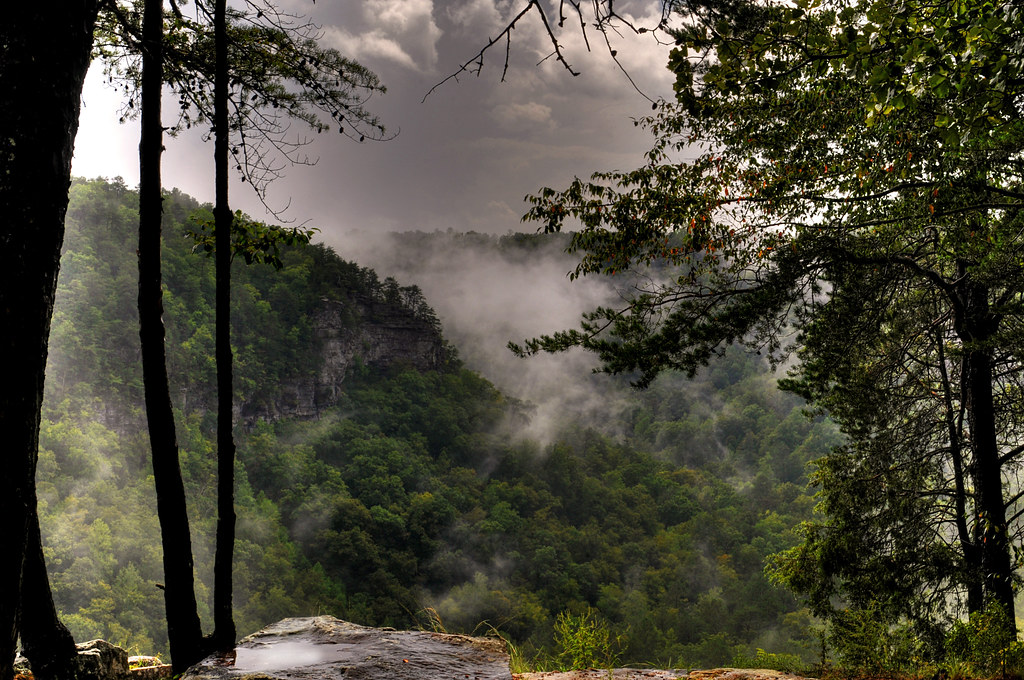
Little River Canyon From Weaver Overlook
Little River Canyon

Light at the End of the Runnel

Little River Canyon National Preserve, Dekalb County, Alabama

Tresspasser's Delight

Johnnies Creek Falls
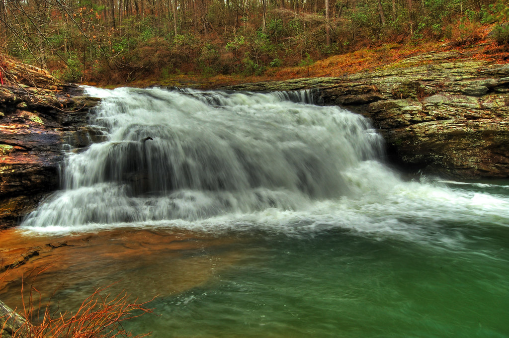
Johnnies Creek Falls

Autumn at Yellow Creek Falls on Weiss Lake
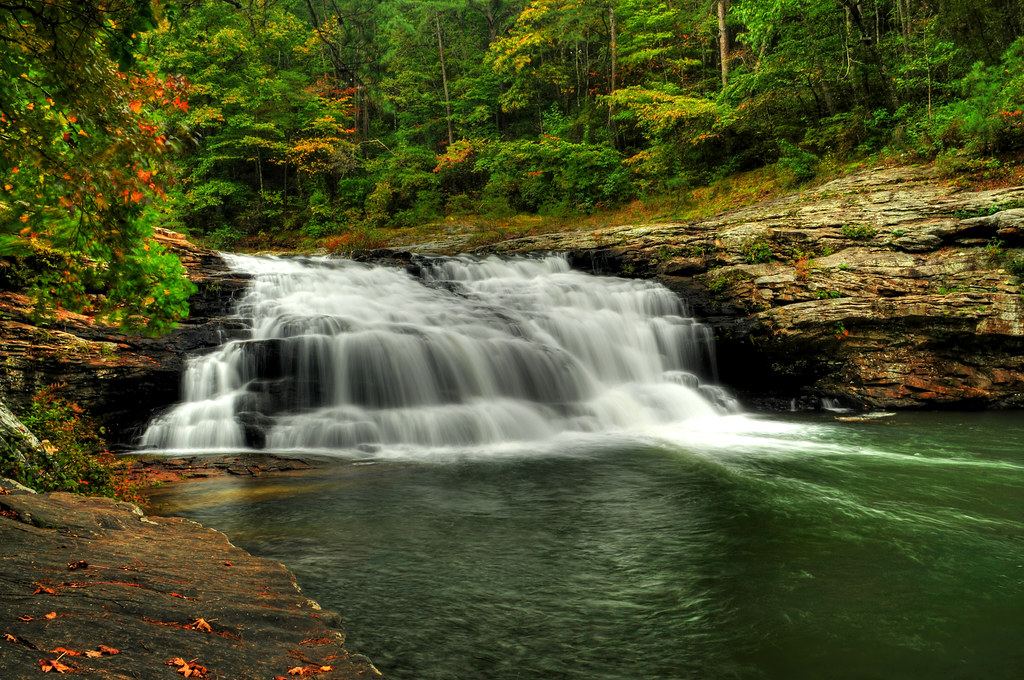
Johnnies Creek Falls

Canyon Land Sentinel
Johnnies Creek Falls

Little River below Eberhart Point
Topographic Map of Cedar Bluff, AL, USA
Find elevation by address:

Places in Cedar Bluff, AL, USA:
County Road 642
County Road 1022
1692 County Rd 137
2609 Savannah Dr
AL-9, Cedar Bluff, AL, USA
600 County Rd 767
County Rd, Cedar Bluff, AL, USA
Cherokee County, Cedar Bluff, AL, USA
Cherokee County, Cedar Bluff, AL, USA
County Rd, Cedar Bluff, AL, USA
Places near Cedar Bluff, AL, USA:
2609 Savannah Dr
Cherokee County, Centre, AL, USA
600 County Rd 767
Cherokee County, Gaylesville, AL, USA
County Road 546
County Road 1022
Cherokee County, Cedar Bluff, AL, USA
County Road 642
County Rd, Centre, AL, USA
2389 Cherokee County 65
2389 Cherokee County 65
600 Cherokee County 531
Gaylesville
Cherokee County 22, Centre, AL, USA
877 Cedar Bluff Rd
Cherokee County 22, Centre, AL, USA
County Rd, Cedar Bluff, AL, USA
Cherokee County, Cedar Bluff, AL, USA
Cherokee County 40, Centre, AL, USA
Cherokee County 22, Centre, AL, USA
Recent Searches:
- Elevation map of Litang County, Sichuan, China
- Elevation map of Madoi County, Qinghai, China
- Elevation of 3314, Ohio State Route 114, Payne, Paulding County, Ohio, 45880, USA
- Elevation of Sarahills Drive, Saratoga, Santa Clara County, California, 95070, USA
- Elevation of Town of Bombay, Franklin County, New York, USA
- Elevation of 9, Convent Lane, Center Moriches, Suffolk County, New York, 11934, USA
- Elevation of Saint Angelas Convent, 9, Convent Lane, Center Moriches, Suffolk County, New York, 11934, USA
- Elevation of 131st Street Southwest, Mukilteo, Snohomish County, Washington, 98275, USA
- Elevation of 304, Harrison Road, Naples, Cumberland County, Maine, 04055, USA
- Elevation of 2362, Timber Ridge Road, Harrisburg, Cabarrus County, North Carolina, 28075, USA
- Elevation of Ridge Road, Marshalltown, Marshall County, Iowa, 50158, USA
- Elevation of 2459, Misty Shadows Drive, Pigeon Forge, Sevier County, Tennessee, 37862, USA
- Elevation of 8043, Brightwater Way, Spring Hill, Williamson County, Tennessee, 37179, USA
- Elevation of Starkweather Road, San Luis, Costilla County, Colorado, 81152, USA
- Elevation of 5277, Woodside Drive, Baton Rouge, East Baton Rouge Parish, Louisiana, 70808, USA
- Elevation of 1139, Curtin Street, Shepherd Park Plaza, Houston, Harris County, Texas, 77018, USA
- Elevation of 136, Sellers Lane, Repton, Monroe County, Alabama, 36475, USA
- Elevation of 12914, Elmington Drive, Lakewood Forest, Houston, Harris County, Texas, 77429, USA
- Elevation of 417, Camelot Drive, Statesville, Iredell County, North Carolina, 28625, USA
- Elevation of 5792, Wildridge Road, Avon, Eagle County, Colorado, 81620, USA