Elevation of County Rd, Cedar Bluff, AL, USA
Location: United States > Alabama > Cherokee County > Cedar Bluff >
Longitude: -85.4692263
Latitude: 34.2552464
Elevation: 205m / 673feet
Barometric Pressure: 0KPa
Related Photos:
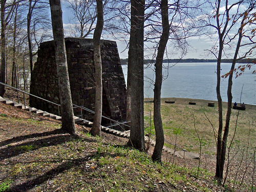
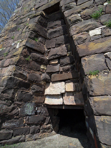
Cornwall Furnace XII / Cedar Bluff, Alabama
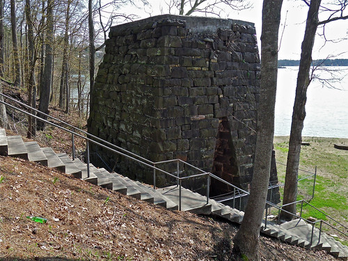
Cornwall Furnace I / Cedar Bluff, Alabama
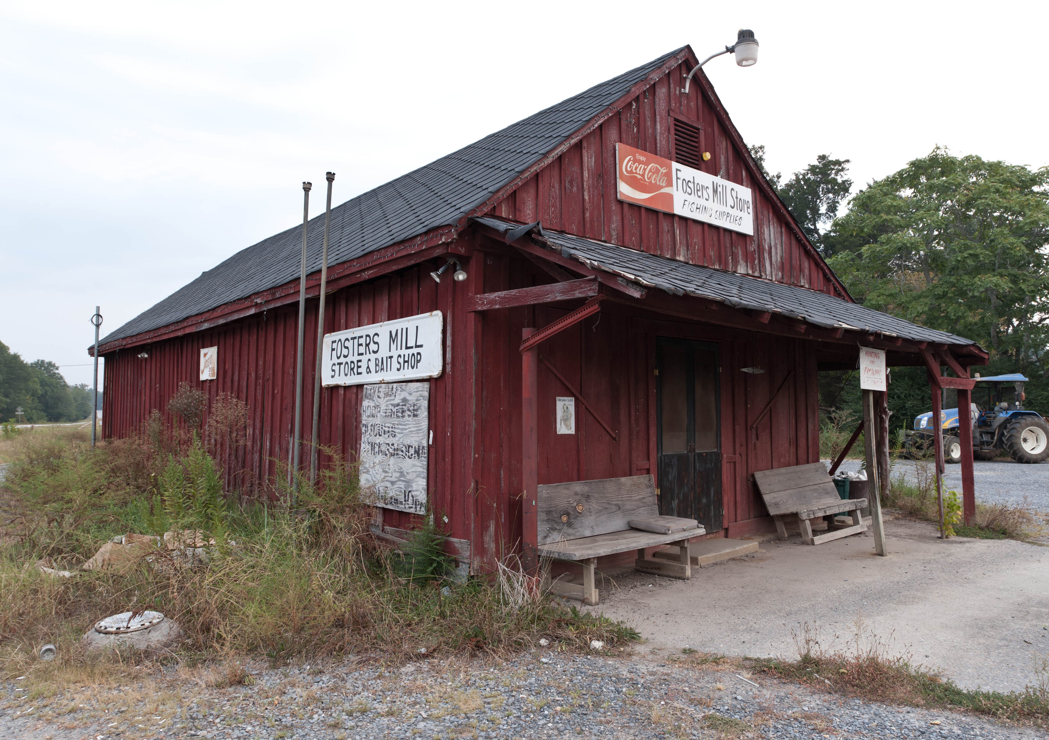
Fishing Supplies
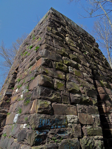
Cornwall Furnace IV / Cedar Bluff, Alabama
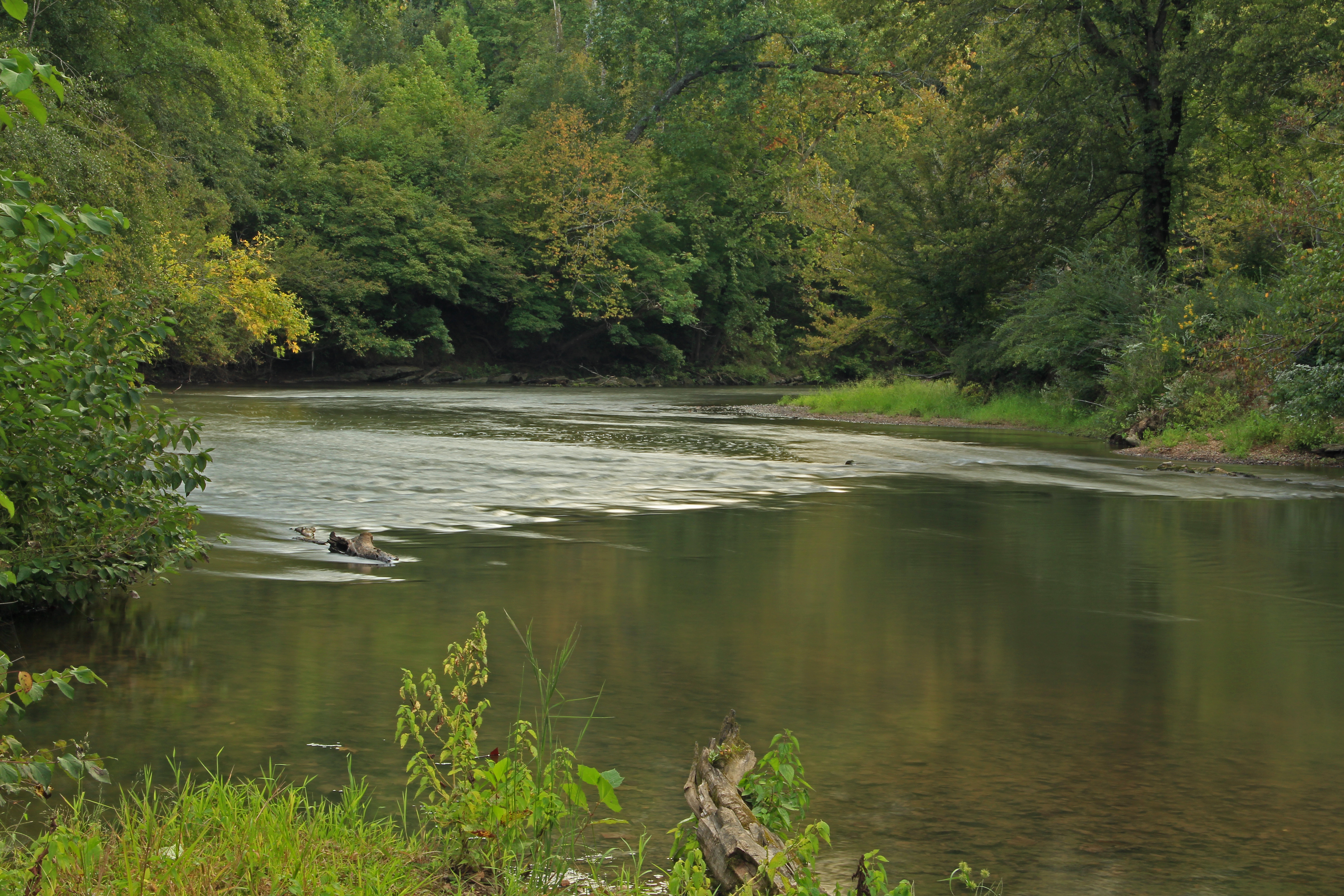
Chattooga River, Chattooga County, Georgia 1
Cornwall Furnace III / Cedar Bluff, Alabama
Going Native
Lavender Trail_MG_3829
Lavender Trail 2_MG_3841
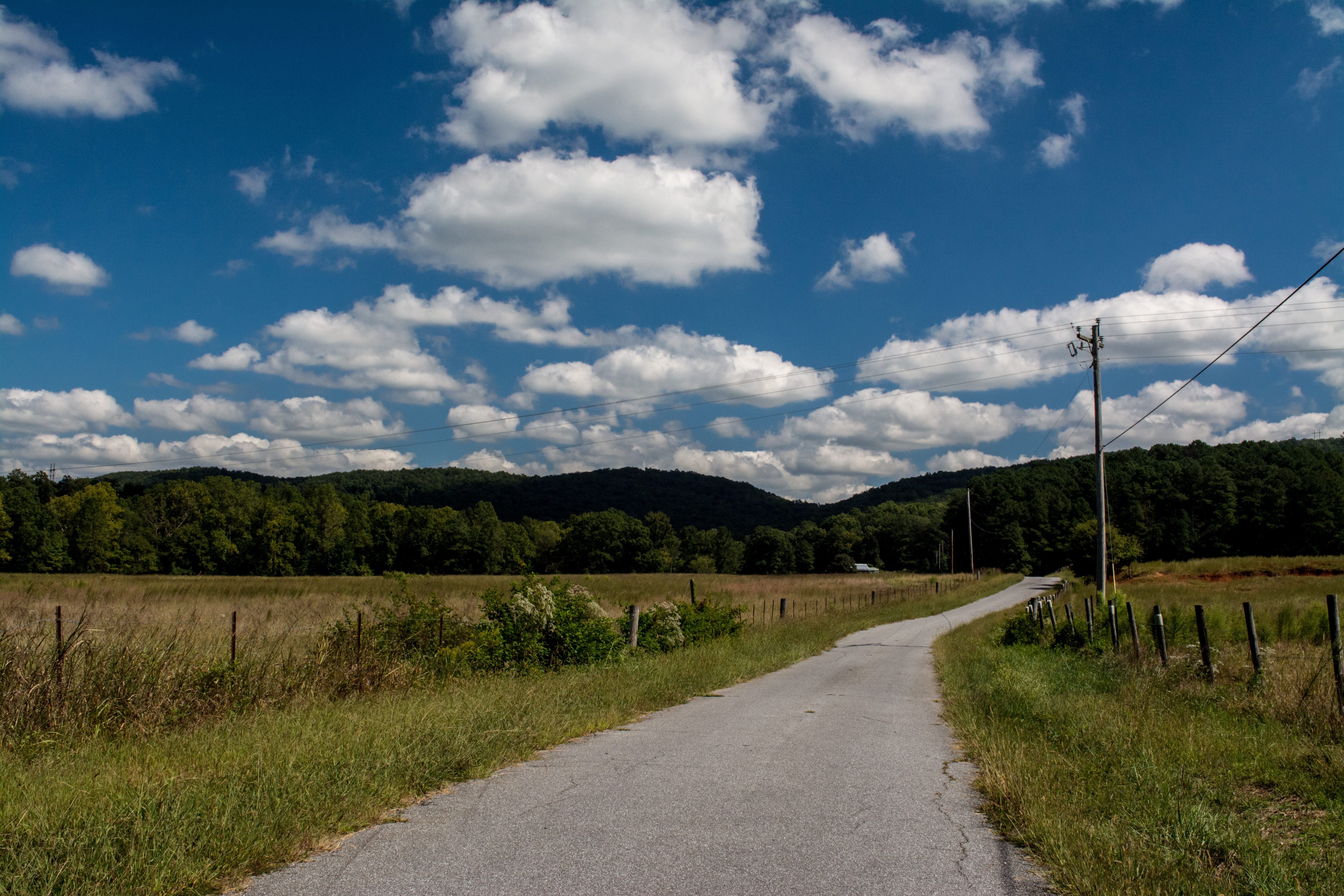
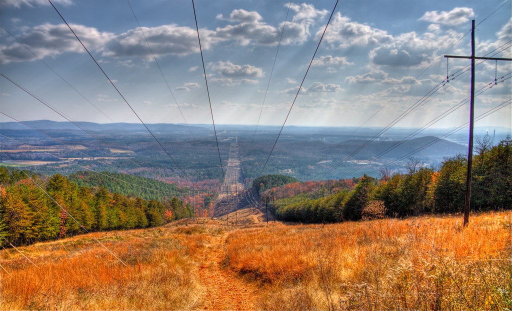
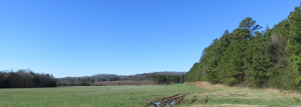
Highway 100 Farm
Bakers Pond, Bogan Mountain, Chattooga County, Georgia 1
Bakers Pond, Bogan Mountain, Chattooga County, Georgia 3
Bakers Pond, Bogan Mountain, Chattooga County, Georgia 4
Bakers Pond, Bogan Mountain, Chattooga County, Georgia 5
Lavender Trail_MG_3835

RR Trestle Over Stream IMG_2621
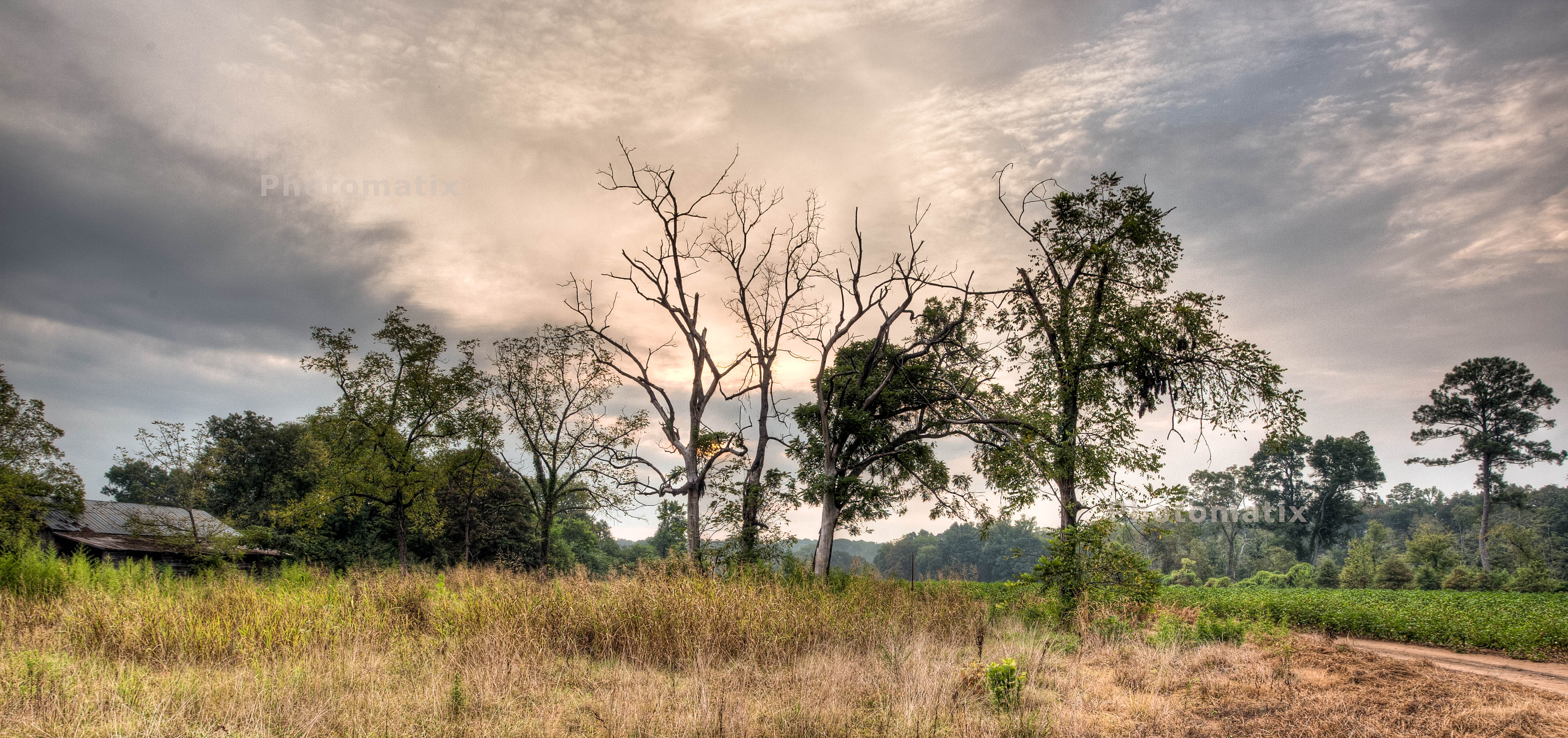
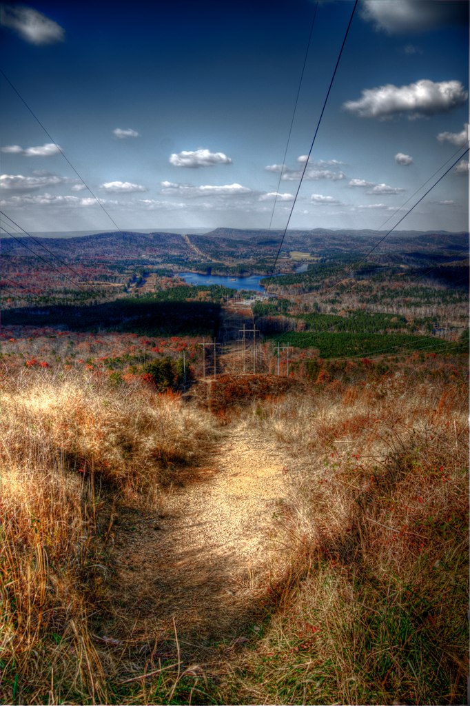
Northeastern Alabama Landscape (Cherokee County, Alabama)
Northeastern Alabama Landscape (Cherokee County, Alabama)
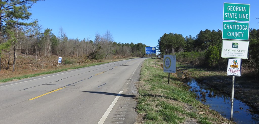
Entering Georgia (Chattooga County, Georgia)
Topographic Map of County Rd, Cedar Bluff, AL, USA
Find elevation by address:

Places near County Rd, Cedar Bluff, AL, USA:
AL-9, Cedar Bluff, AL, USA
County Rd, Cedar Bluff, AL, USA
Cherokee County 22, Centre, AL, USA
Cherokee County, Cedar Bluff, AL, USA
Gaylesville
County Road 642
Cherokee County 22, Centre, AL, USA
Cherokee County 22, Centre, AL, USA
Cherokee County, Gaylesville, AL, USA
County Rd 16, Centre, AL, USA
County Road 546
County Rd 16, Centre, AL, USA
County Rd, Centre, AL, USA
Cedar Bluff
Cherokee County 22, Centre, AL, USA
2609 Savannah Dr
600 County Rd 767
Cherokee County, Centre, AL, USA
Cherokee County 40, Centre, AL, USA
County Road 1022
Recent Searches:
- Elevation map of Greenland, Greenland
- Elevation of Sullivan Hill, New York, New York, 10002, USA
- Elevation of Morehead Road, Withrow Downs, Charlotte, Mecklenburg County, North Carolina, 28262, USA
- Elevation of 2800, Morehead Road, Withrow Downs, Charlotte, Mecklenburg County, North Carolina, 28262, USA
- Elevation of Yangbi Yi Autonomous County, Yunnan, China
- Elevation of Pingpo, Yangbi Yi Autonomous County, Yunnan, China
- Elevation of Mount Malong, Pingpo, Yangbi Yi Autonomous County, Yunnan, China
- Elevation map of Yongping County, Yunnan, China
- Elevation of North 8th Street, Palatka, Putnam County, Florida, 32177, USA
- Elevation of 107, Big Apple Road, East Palatka, Putnam County, Florida, 32131, USA
- Elevation of Jiezi, Chongzhou City, Sichuan, China
- Elevation of Chongzhou City, Sichuan, China
- Elevation of Huaiyuan, Chongzhou City, Sichuan, China
- Elevation of Qingxia, Chengdu, Sichuan, China
- Elevation of Corso Fratelli Cairoli, 35, Macerata MC, Italy
- Elevation of Tallevast Rd, Sarasota, FL, USA
- Elevation of 4th St E, Sonoma, CA, USA
- Elevation of Black Hollow Rd, Pennsdale, PA, USA
- Elevation of Oakland Ave, Williamsport, PA, USA
- Elevation of Pedrógão Grande, Portugal