Elevation of Castle Lakes Campground, Co Rd 30, Lake City, CO, United States
Location: United States > Colorado > Lake City >
Longitude: -107.34740
Latitude: 37.908152
Elevation: 2839m / 9314feet
Barometric Pressure: 72KPa
Elevation Map:
Satellite Map:
Related Photos:
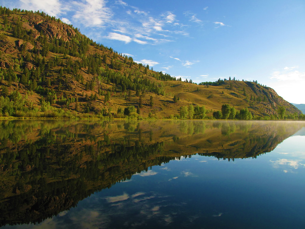
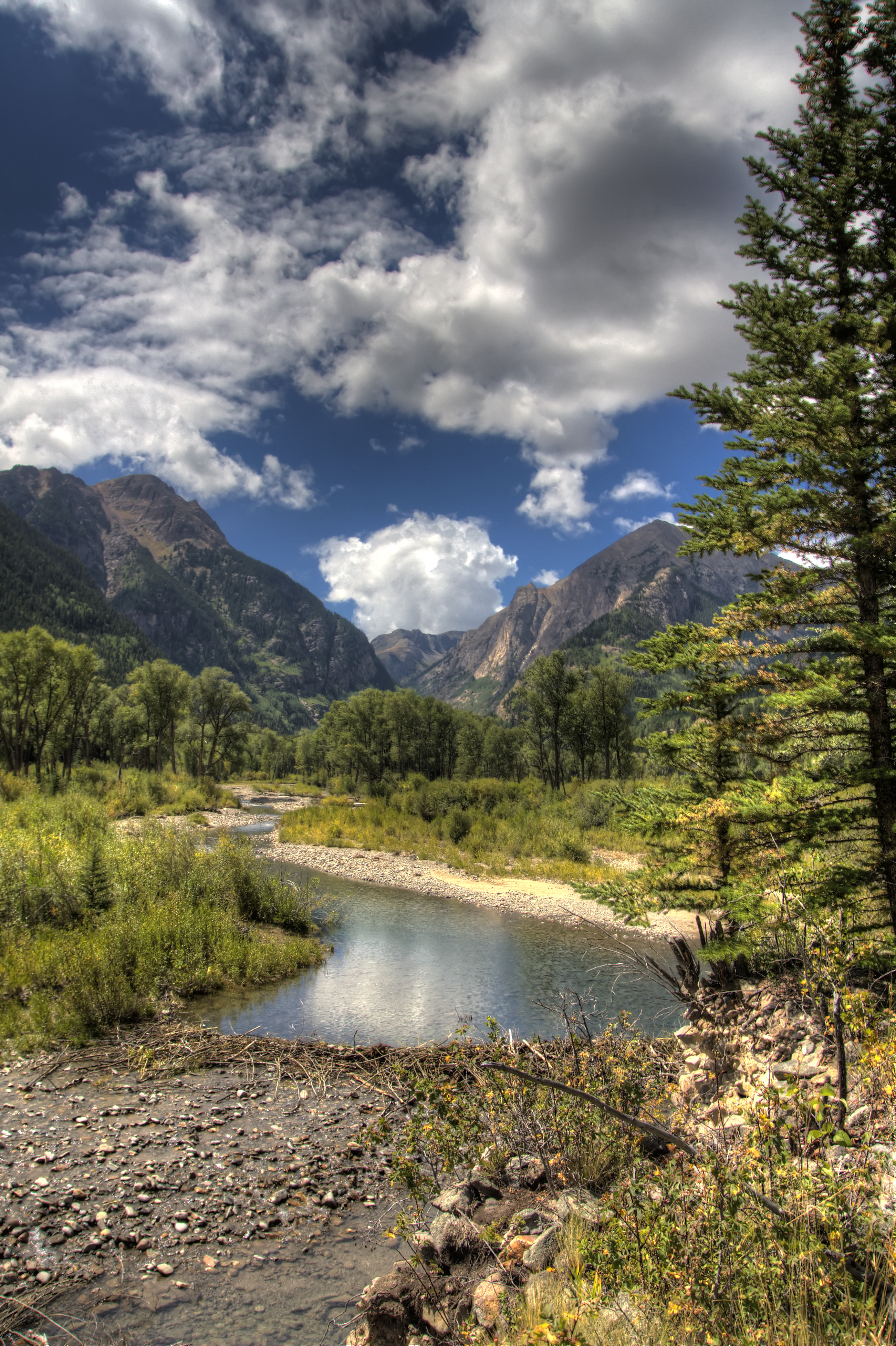
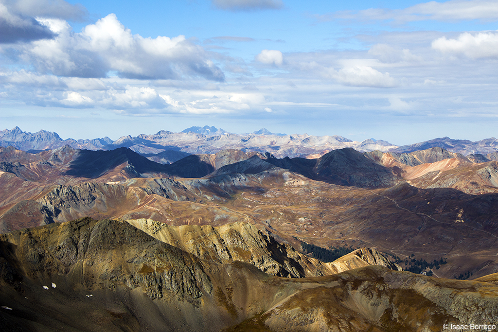
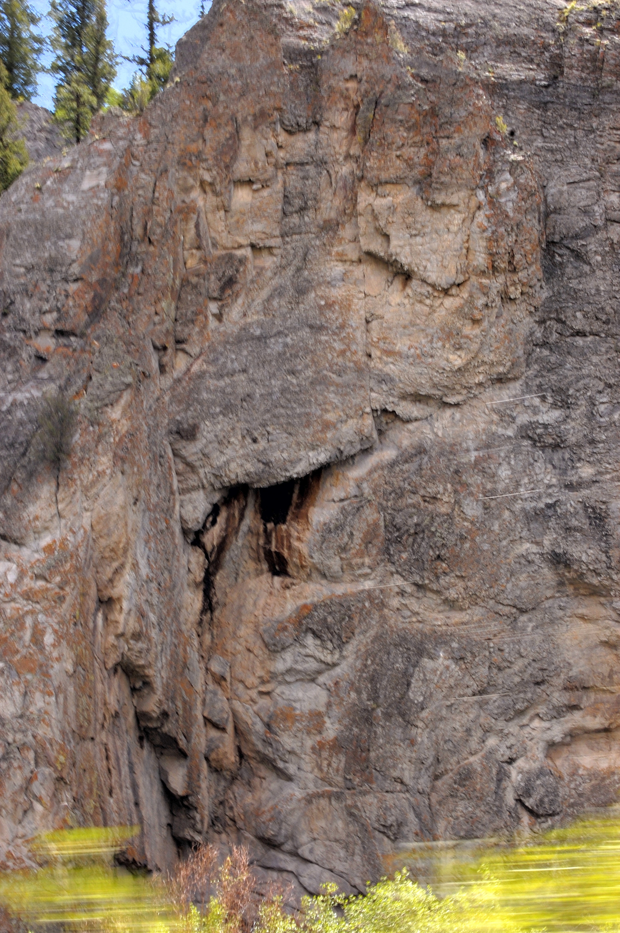
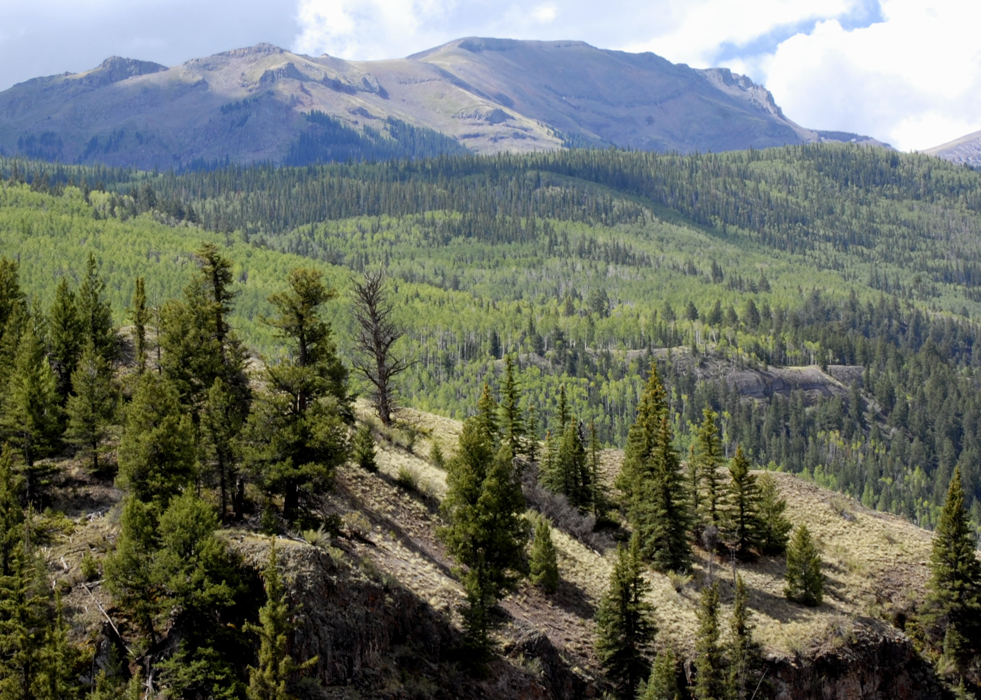
Castle Lakes Serenity
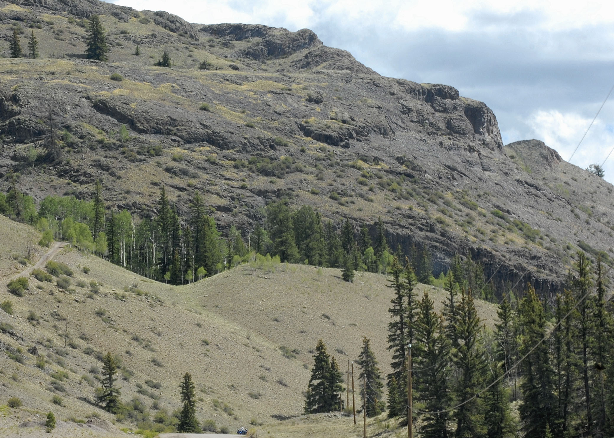
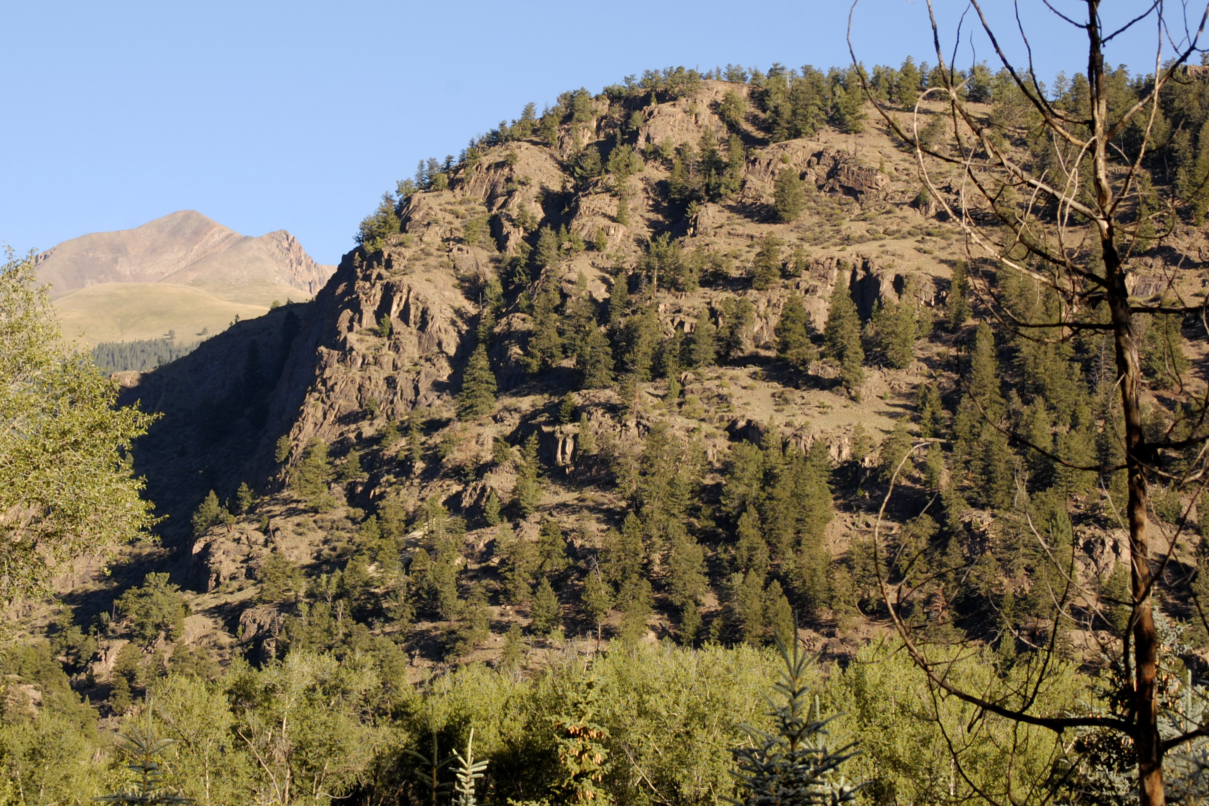
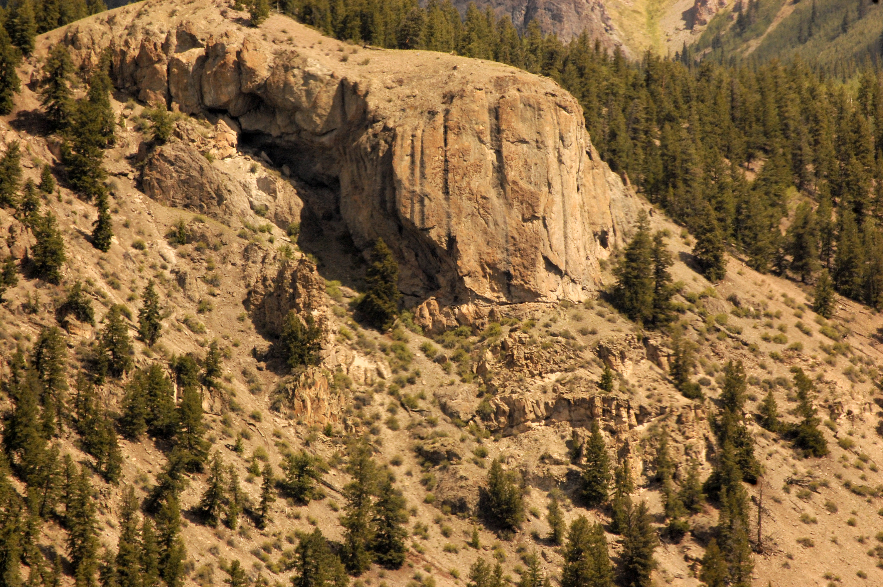
Colorado July 2012 (243)

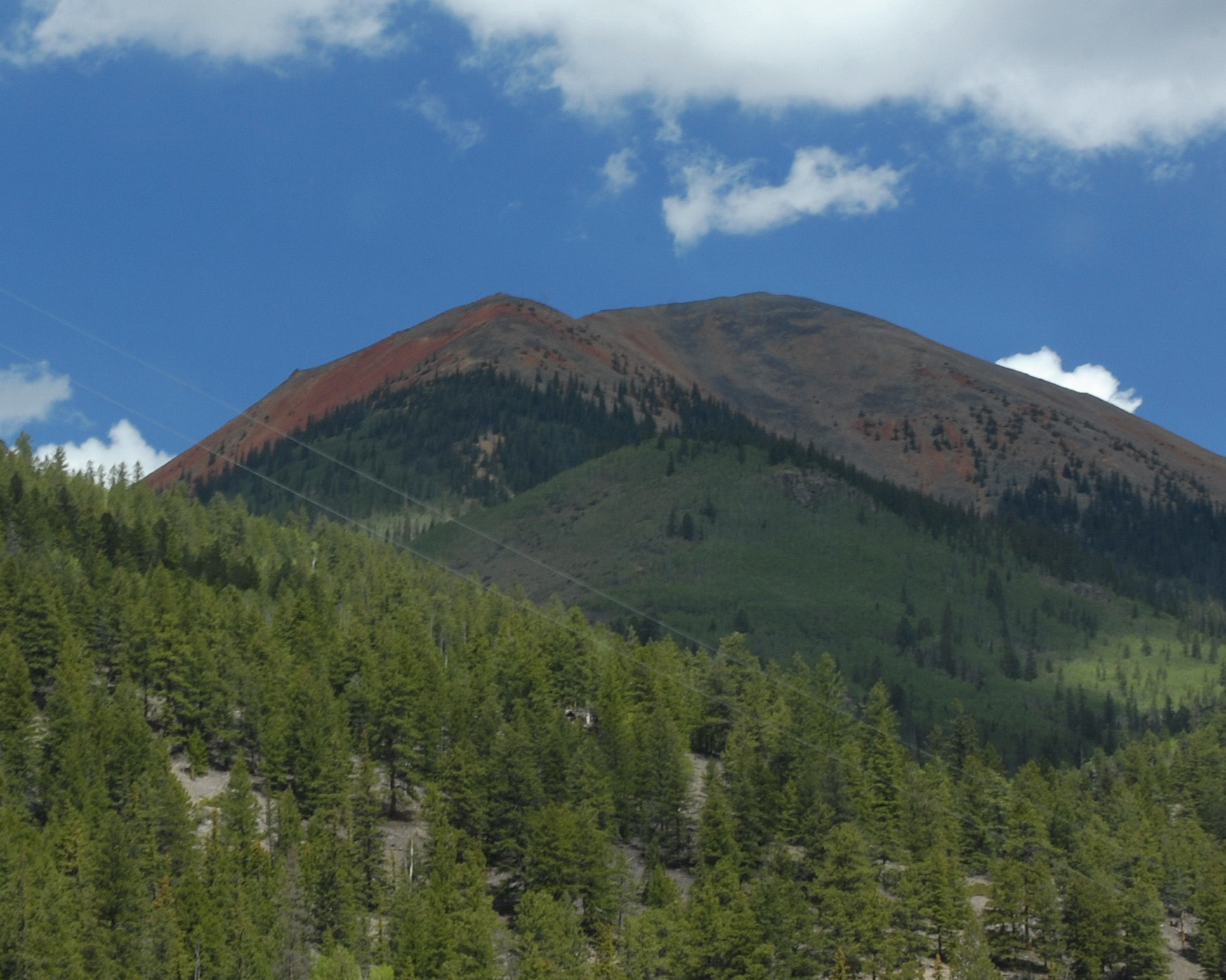
Colorado July 2012 (260)
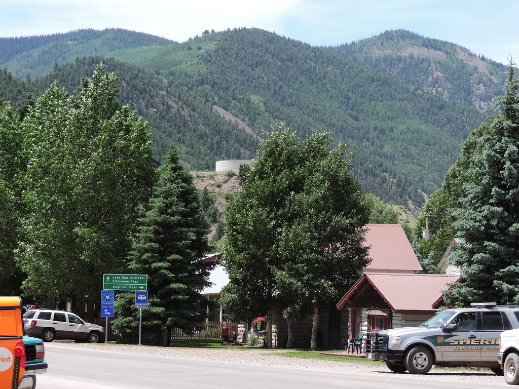
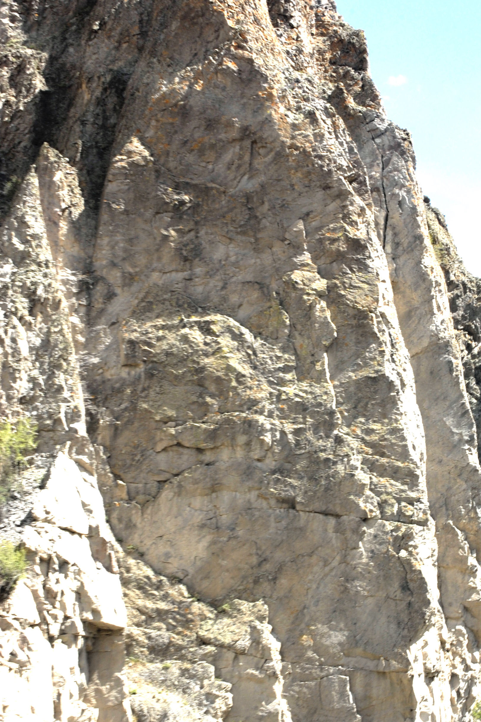
Lake City scene
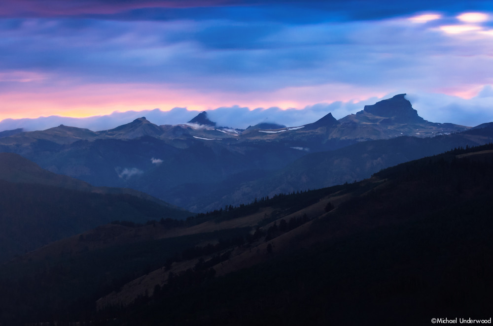
Windy Point Twilight
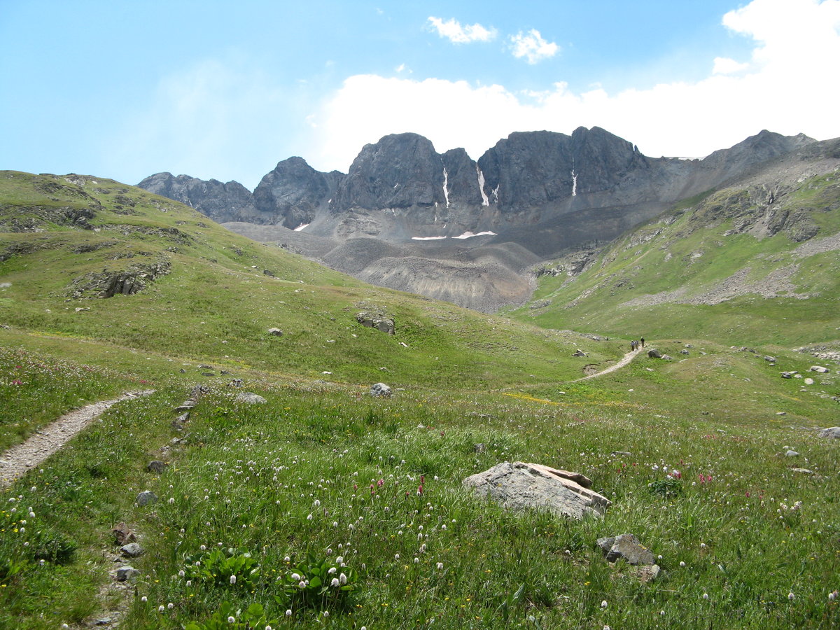
Along the Alpine Loop
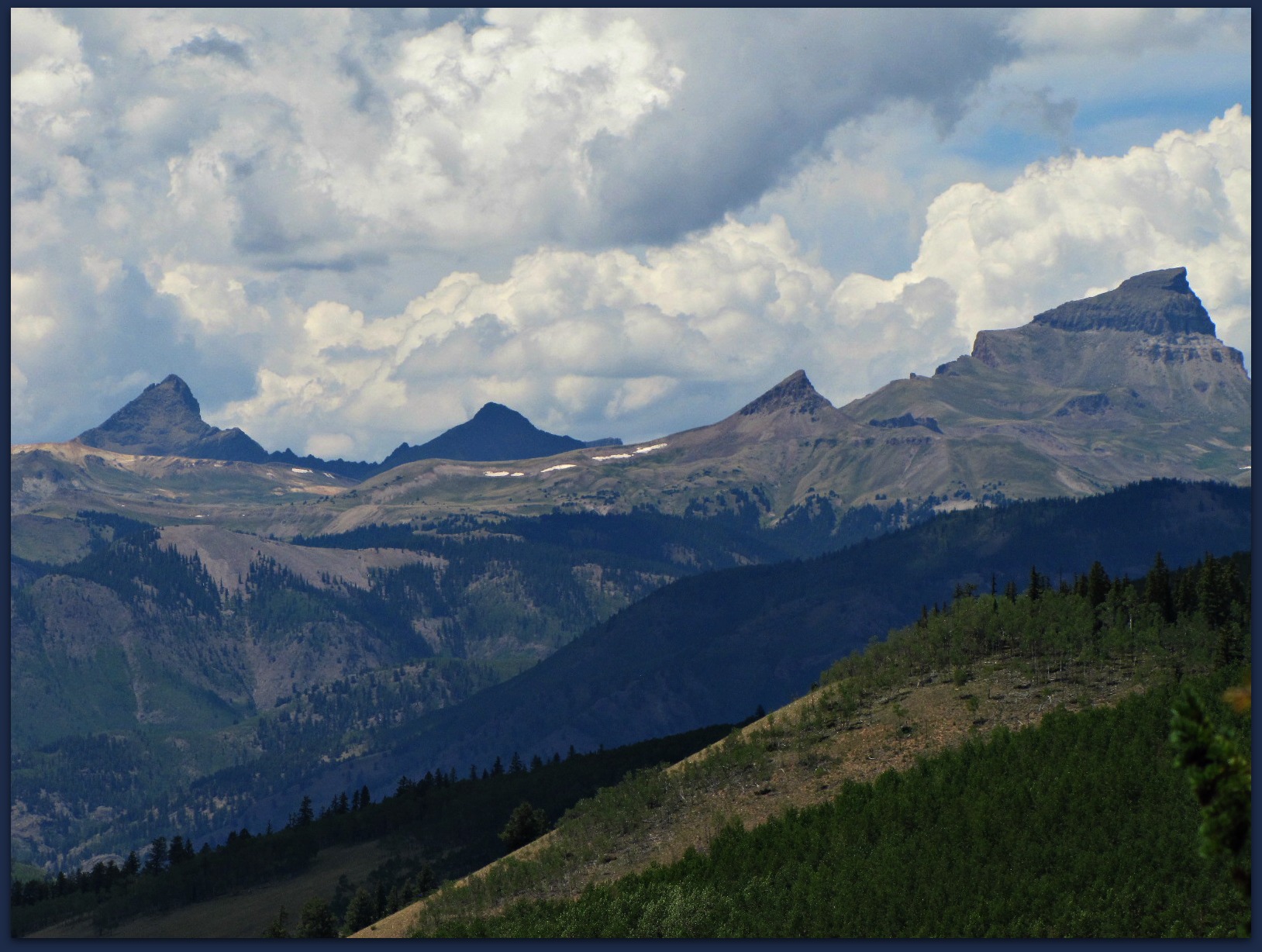
Thorny looking peaks
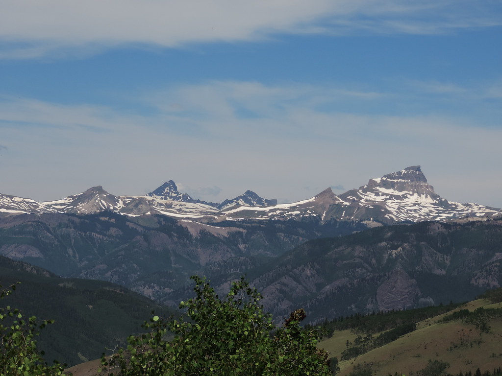
Jagged peaks
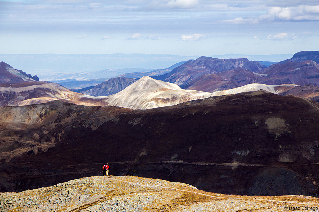
Enjoying the View
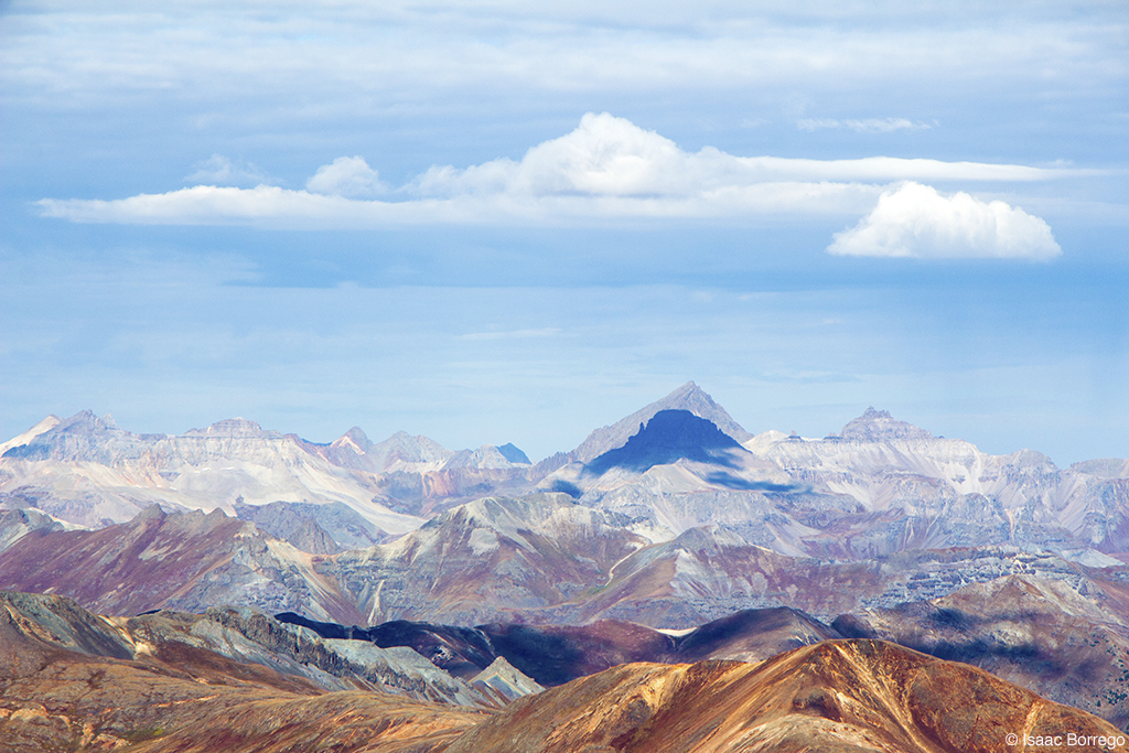
View from Handies Peak
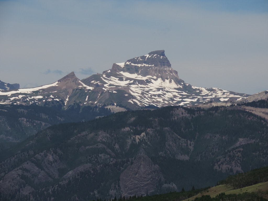
Uncompahgre peak
View to Mount Sneffels

Wildflower overload in American Basin, it is unreal right now! What a great view to wake up to!

Colorado July 2012 (244)
American Basin, Looking South
Colorado July 2012 (249)
Colorado July 2012 (166)
Colorado July 2012 (254)
Colorado July 2012 (247)
Colorado July 2012 (245)
Colorado July 2012 (237)
Topographic Map of Castle Lakes Campground, Co Rd 30, Lake City, CO, United States
Find elevation by address:

Places near Castle Lakes Campground, Co Rd 30, Lake City, CO, United States:
Alpine Vista Way
Hinsdale County
Bent Peak
Carson Peak
Sunshine Peak
Redcloud Peak
County Road 30
Finger Mesa
Half Peak
Pole Creek Mountain
Whitecross Mountain
County Road 30
Forest Road 515
Niagara Peak
Simpson Mountain
Shotgun Mountain
Indian Ridge
Animas Forks
Ute Ridge
Papoose Creek
Recent Searches:
- Elevation of Corso Fratelli Cairoli, 35, Macerata MC, Italy
- Elevation of Tallevast Rd, Sarasota, FL, USA
- Elevation of 4th St E, Sonoma, CA, USA
- Elevation of Black Hollow Rd, Pennsdale, PA, USA
- Elevation of Oakland Ave, Williamsport, PA, USA
- Elevation of Pedrógão Grande, Portugal
- Elevation of Klee Dr, Martinsburg, WV, USA
- Elevation of Via Roma, Pieranica CR, Italy
- Elevation of Tavkvetili Mountain, Georgia
- Elevation of Hartfords Bluff Cir, Mt Pleasant, SC, USA