Elevation of Indian Ridge, Colorado, USA

Location: United States > Colorado > Hinsdale County >

Longitude: -107.47861

Latitude: 37.7352777

Elevation: 3870m / 12697feet

Barometric Pressure: 63KPa

Elevation Map:

elevation map of Indian Ridge, Colorado, USA

Satellite Map:

Satellite map of Indian Ridge, Colorado, USA

Related Photos:

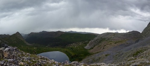
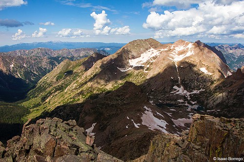
panorama storm mountains landscape colorado climbing 14er 14ers sanjuanmountains weminuchewildernessarea arrowpeak windompeak sunlightpeak jaggedmountain vestalpeak tokina1116 nikond7000
Grandiose view of the storm
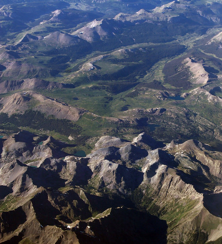
mountains west green flying colorado view aviation flight aerial windowseat windowshot thewest southwesterncolorado laxiad anthropocene 20130625 sydakllaxiadewr 2013062526 laxewr
2013_06_25-26_syd-akl-lax-iad-ewr_796
colorado hike backpacking continentaldivide emeraldlake weminuchewilderness pineriver flintcreek utelakes valecitocreek
A Walk In the Weminuche Wilderness
camping colorado hiking backpacking wilderness rocklake weminuche weminuchewilderness sanjuannationalforest halfmoontrail
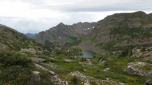
4966 View from the pass above Rock Lake on the old Half Moon Trail to Moon Lakes, elevation 12,500 feet
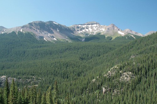
camping colorado hiking backpacking wilderness theguardian weminuche weminuchewilderness sanjuannationalforest vallecitocreektrail
3946 Zoomed-in view of The Guardian (elevation 13617 feet) from the Vallecito Creek Trail near Leviathan Creek
camping colorado hiking backpacking wilderness continentaldivide cdt weminuche weminuchewilderness sanjuannationalforest continentaldividetrail rockpass
4713 View from Rock Pass looking north along the Continental Divide Trail
camping colorado hiking backpacking wilderness weminuche weminuchewilderness sanjuannationalforest sunlightpeak vallecitocreektrail
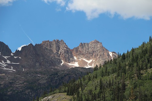
3955 Zoomed-in view of Peak 13995 and Sunlight Peak (14059 feet) from the Vallecito Creek Trail
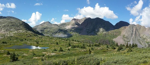
camping colorado hiking backpacking wilderness weminuche weminuchewilderness sanjuannationalforest halfmoontrail
4964 View south over the pass above Rock Lake on the old Half Moon Trail to Moon Lakes
camping colorado hiking backpacking wilderness moonlake weminuche weminuchewilderness sanjuannationalforest halfmoontrail
5070 We get our first view of Moon Lake as we descend on the Half Moon Trail
camping colorado hiking backpacking wilderness weminuche weminuchewilderness sanjuannationalforest rockcreektrail mountoso rockpass peterspeak
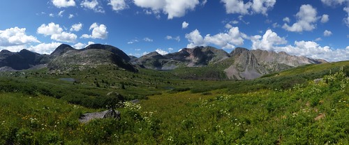
4689 Panorama view back toward Rock Lake from the Rock Creek Trail near Rock Pass
camping colorado hiking backpacking wilderness weminuche weminuchewilderness sanjuannationalforest vallecitocreek vallecitocreektrail
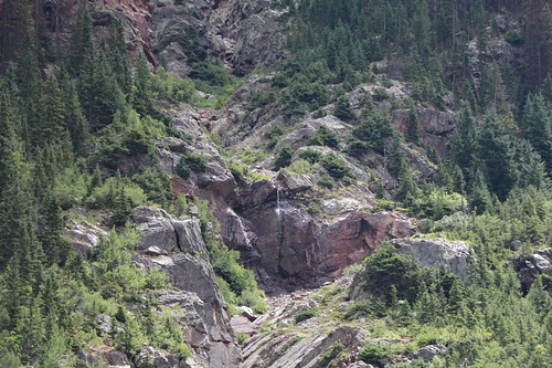
3992 Zoomed-in view of a tiny waterfall below Peak 12995 from the Vallecito Creek Trail
camping colorado hiking backpacking wilderness rocklake weminuche weminuchewilderness sanjuannationalforest rockcreektrail
4681 Panorama view back toward Rock Lake (center) as we near Rock Pass on the Rock Creek Trail
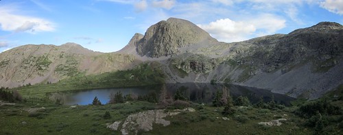
camping colorado hiking backpacking wilderness rocklake weminuche weminuchewilderness sanjuannationalforest
4819 Panorama view of Rock Lake from the ridge above it to the west
colorado riogrande weminuche creede timberhill 30mile
View Top Of Timber Hill
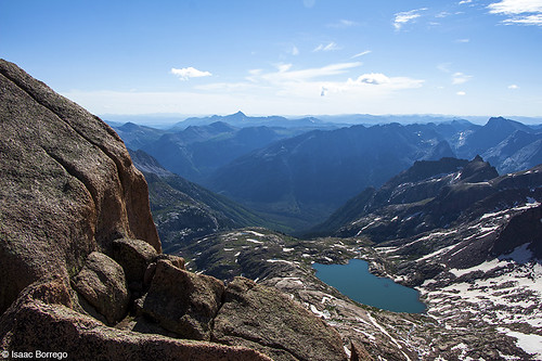
lake mountains water colorado summit rockymountains fourteener peaks chicagobasin sanjuanmountains sunlightpeak canonrebelt4i
View from Sunlight
mountains colorado summit rockymountains peaks chicagobasin sanjuanmountains fourteeners windompeak mounteolus canonrebelt4i
View from Windom Peak
panorama mountains geotagged colorado sanjuans ptassembler perfectpanoramas geo:lat=37815548 geo:lon=107579155
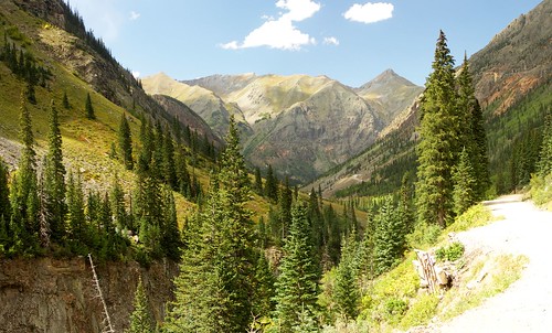
Looking down the Valley
train canon colorado a520 co steamlocomotive dsngrr durangosilvertonnarrowgaugerailroad ersiii ©2013
run-by at Whitehead Gulch
colorado rockymountains hinsdalecountycolorado
Heart Lake, Hinsdale County, Colorado P8200195
Upper Animas River Canyon and talus slope