Elevation of Niagara Peak, Colorado, USA
Location: United States > Colorado > Silverton >
Longitude: -107.53339
Latitude: 37.8894411
Elevation: 4149m / 13612feet
Barometric Pressure: 60KPa
Elevation Map:
Satellite Map:
Related Photos:

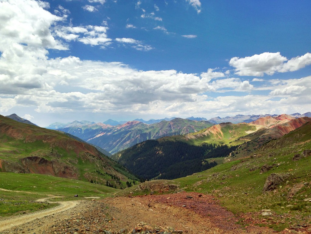
Million Dollar Highway
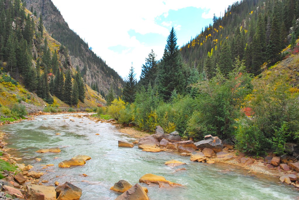
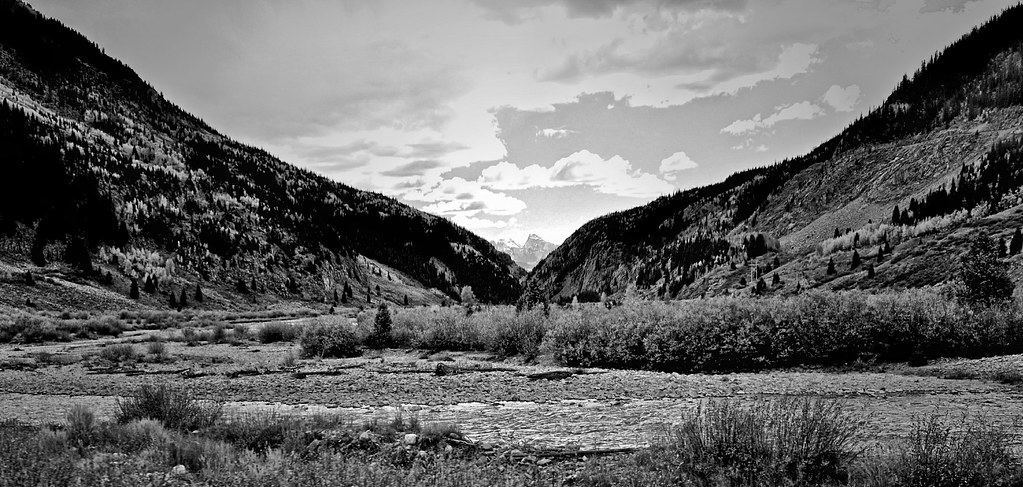
Animas River Valley - Colorado - USA
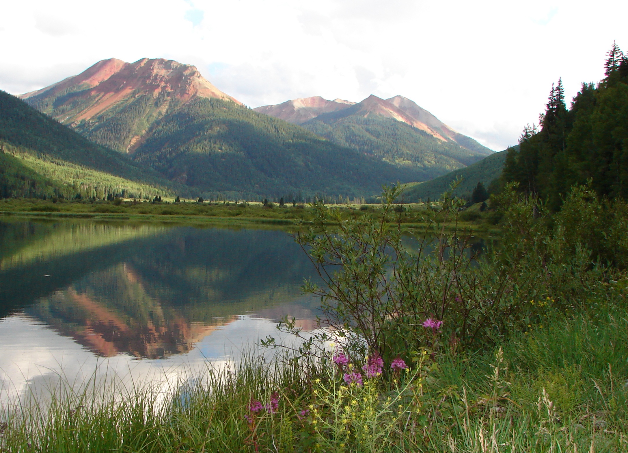
Red Mtns & Crystal Lake

San Juan dreaming
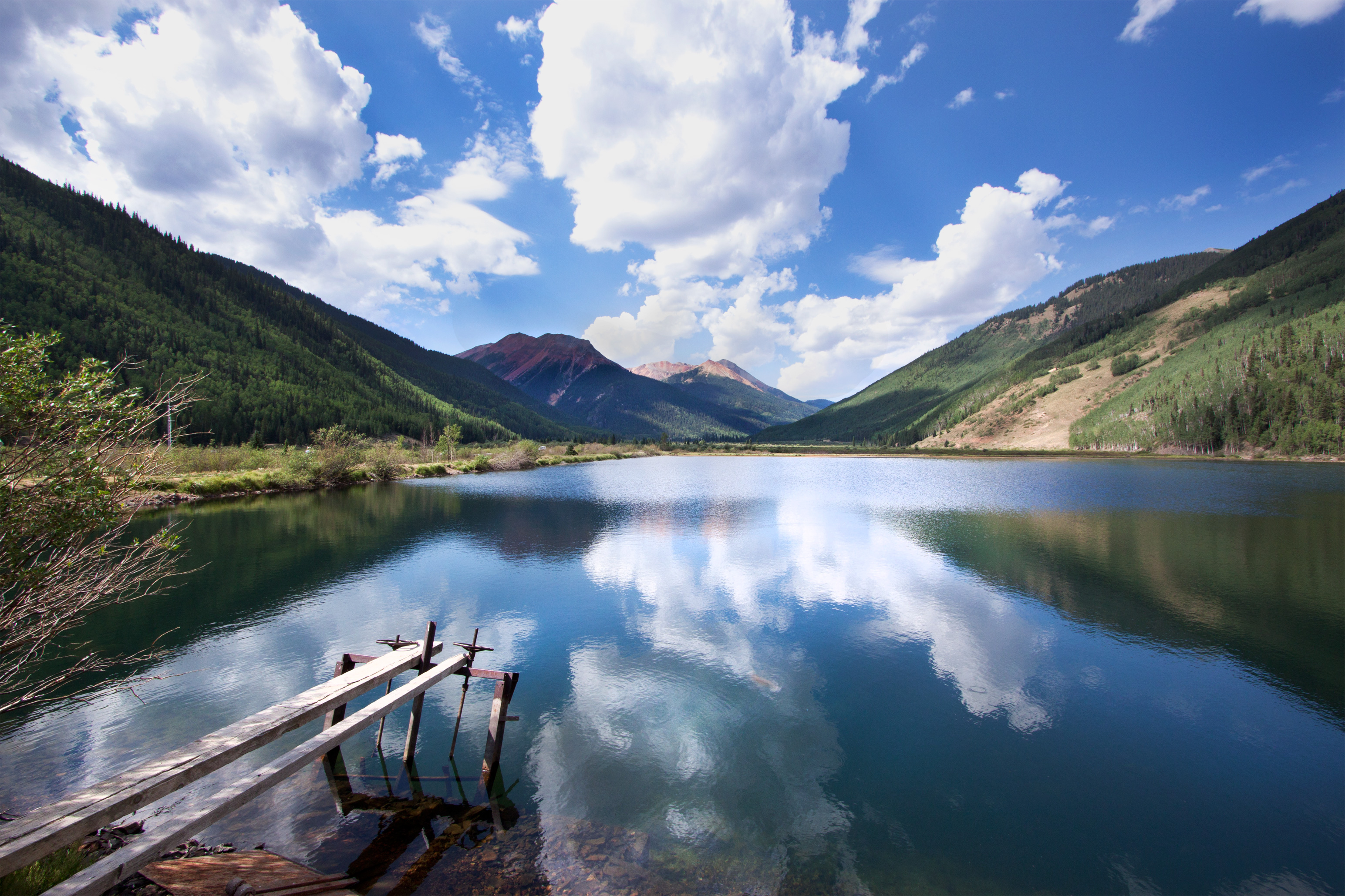
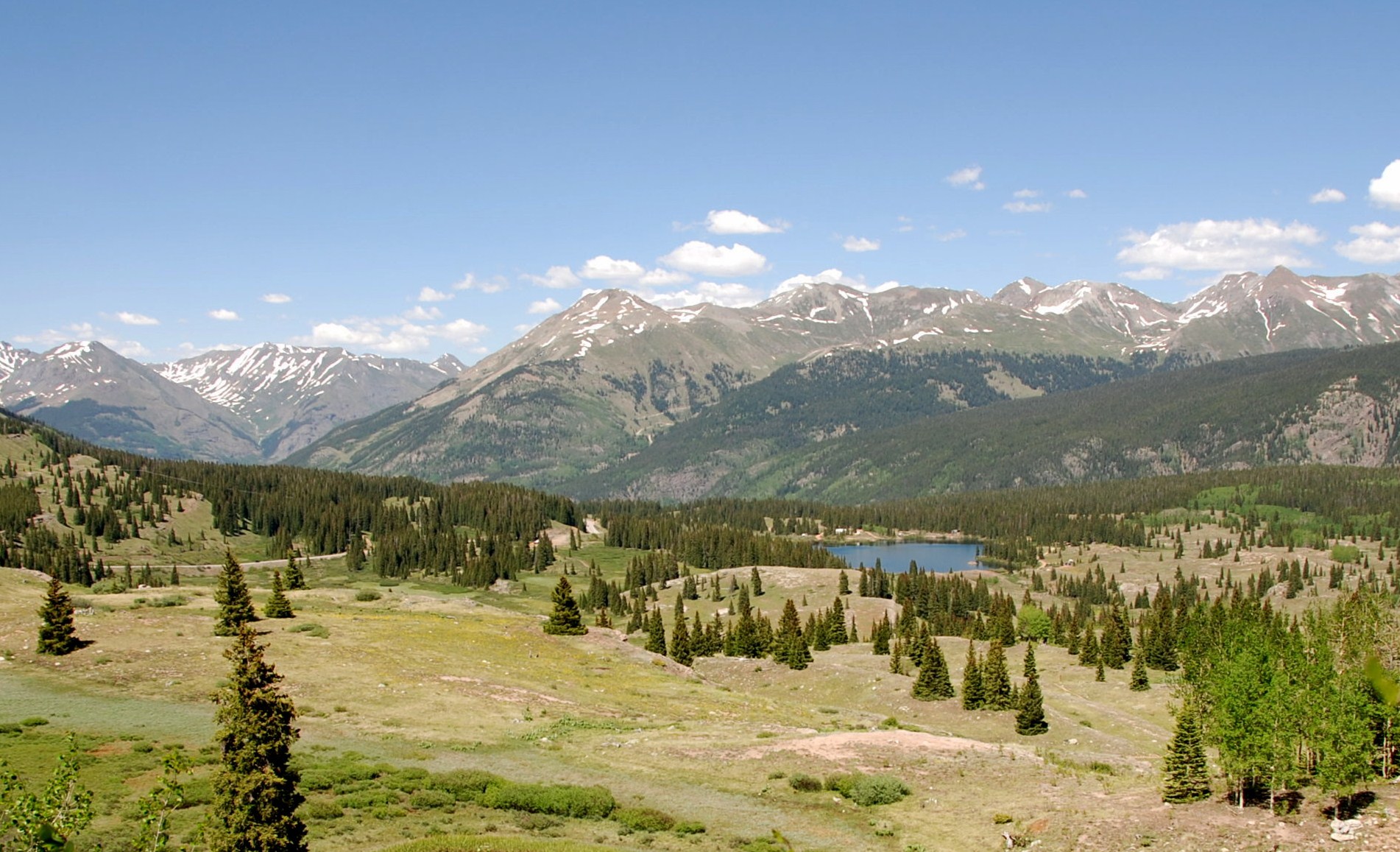
Crystal Lake Reflection
Views along the Snow-Covered "Million Dollar Highway" (2)
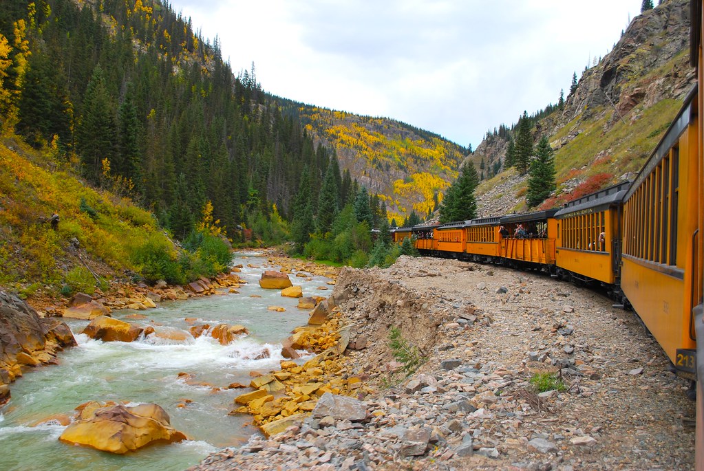
Silverton to Durango train and the Animas River, CO
View looking north from mining area on #californiapass in #ouray #colorado #4Runner
Stepping down
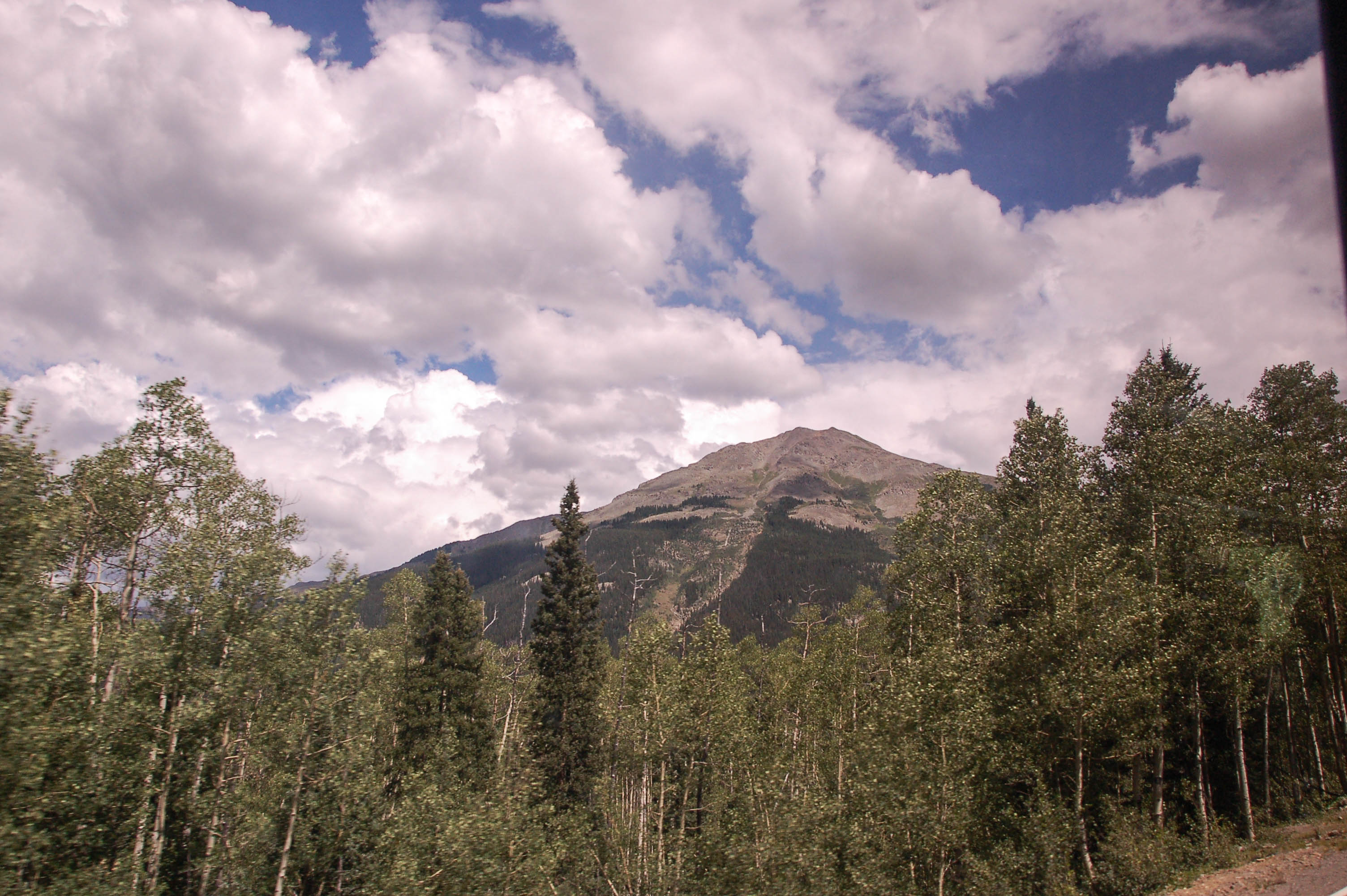
Views from Corkscrew Pass, Colorado, 2013
Views from Hurricane Pass, Colorado, 2013
DSC_0220SHrcGPPShpn100fx(CmcBk&GryPpr)2exHDRCompoEnhcrStgh50Exp-1.5c16x7.5

View South from Sunnyside Mine

Bluebird day at @silvertonmtn, was the 1.5 hour hike with guide Sheldon worth it? Absolutely! For the view alone, the fresh tracks she found for us were bonus. #Colorado #SanJuan #mountains

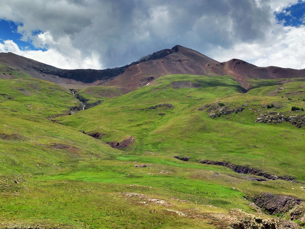
Valley between Silverton and Ouray
DSC_3718.jpg
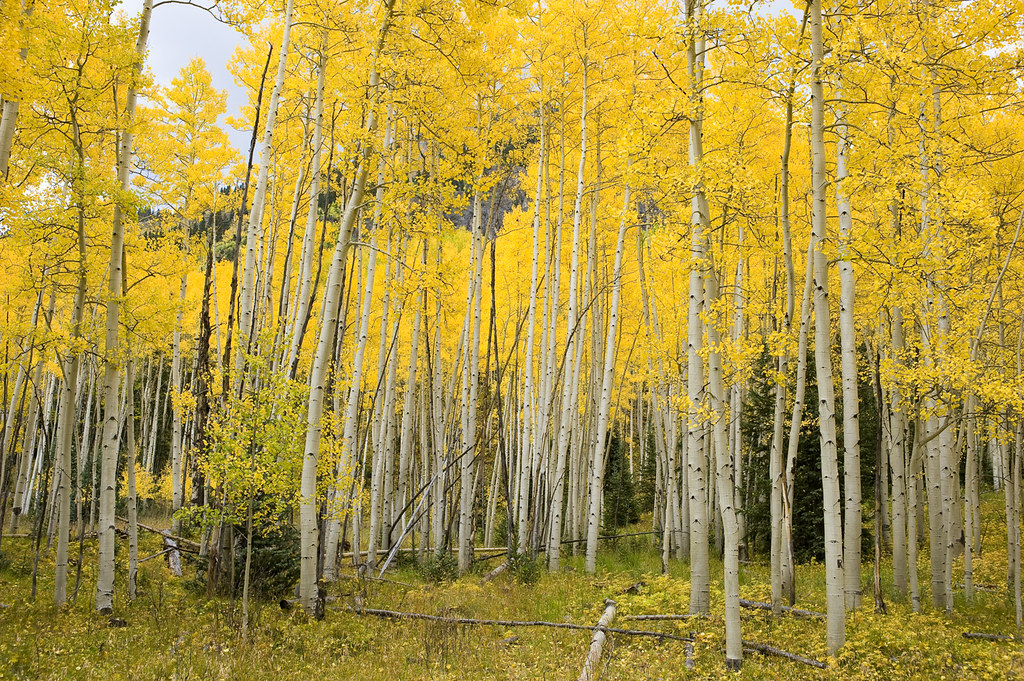
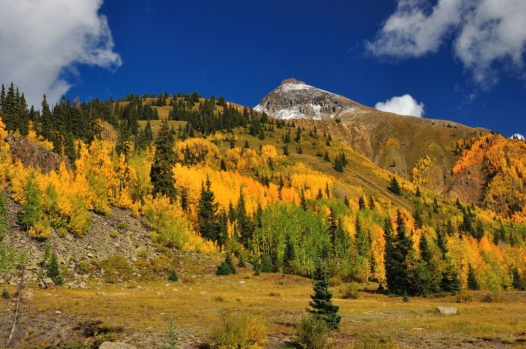
Autumn Aspens
Along the MDH

Red Mountain and Yankee Girl Mine
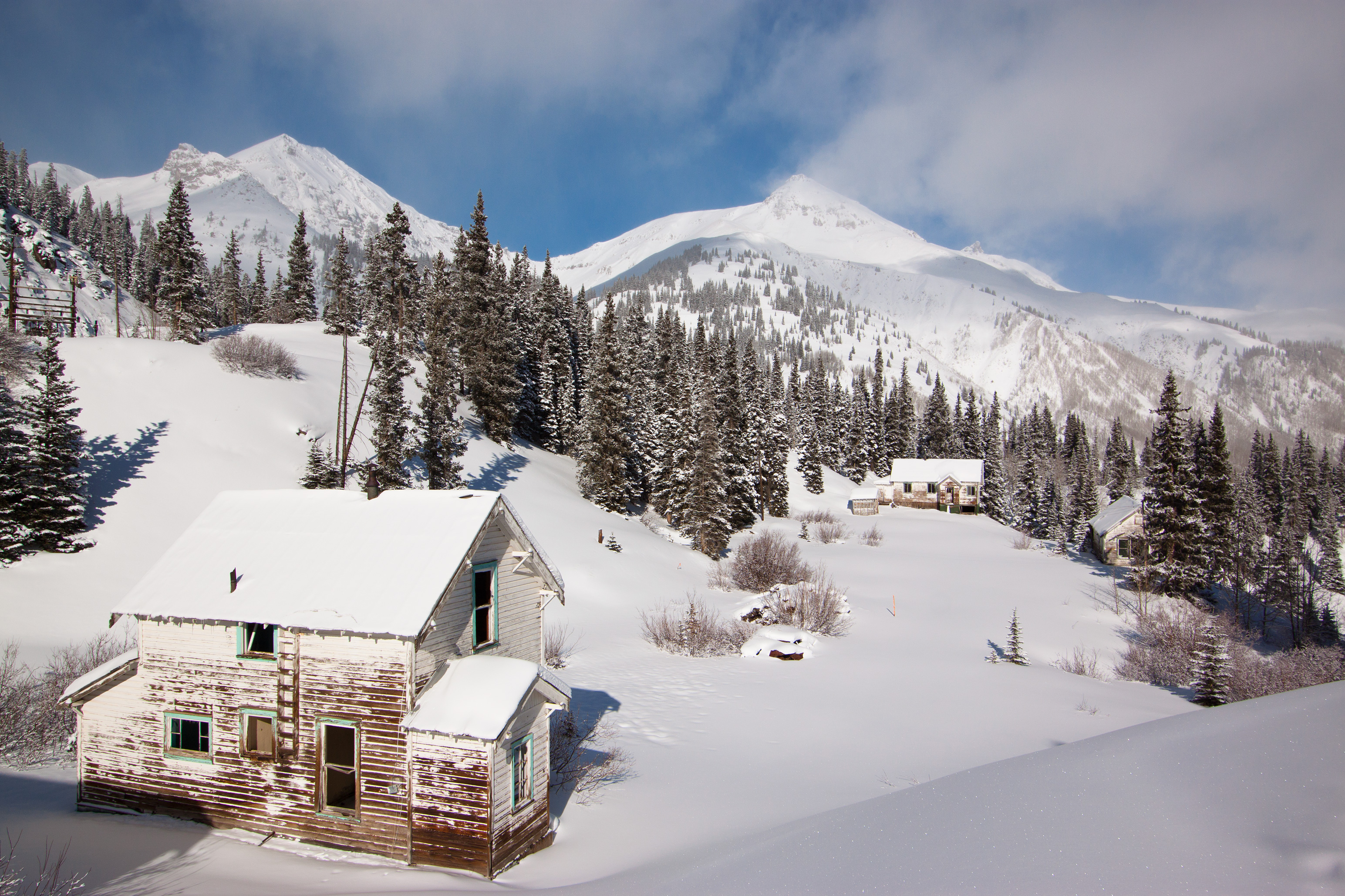
Views from County Road 2, Animas Forks, Colorado, 2013
molas pass, co
Topographic Map of Niagara Peak, Colorado, USA
Find elevation by address:

Places near Niagara Peak, Colorado, USA:
Animas Forks
Whitecross Mountain
County Road 30
Half Peak
Hanson Peak
County Road 30
Brown Mountain
Sunshine Peak
Redcloud Peak
Carson Peak
Pole Creek Mountain
Verde Lake
Silverton
Corkscrew Gulch
Hinsdale County
Bent Peak
Scenic Drive
Indian Ridge
Red Mountain
Red Mountain Pass
Recent Searches:
- Elevation of Corso Fratelli Cairoli, 35, Macerata MC, Italy
- Elevation of Tallevast Rd, Sarasota, FL, USA
- Elevation of 4th St E, Sonoma, CA, USA
- Elevation of Black Hollow Rd, Pennsdale, PA, USA
- Elevation of Oakland Ave, Williamsport, PA, USA
- Elevation of Pedrógão Grande, Portugal
- Elevation of Klee Dr, Martinsburg, WV, USA
- Elevation of Via Roma, Pieranica CR, Italy
- Elevation of Tavkvetili Mountain, Georgia
- Elevation of Hartfords Bluff Cir, Mt Pleasant, SC, USA