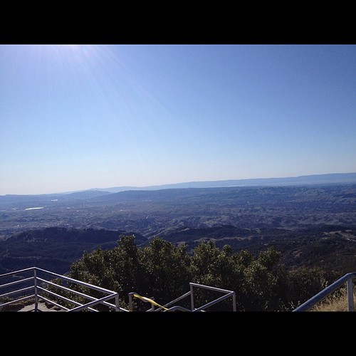
Elevation of Castenada Ct, Danville, CA, USA
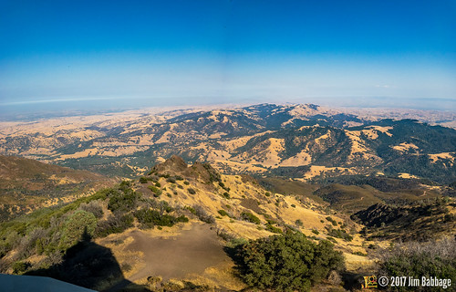
Location: United States > California > Contra Costa County > Danville >

Longitude: -121.96248

Latitude: 37.7977815

Elevation: 169m / 554feet

Barometric Pressure: 99KPa

Elevation Map:

elevation map of Castenada Ct, Danville, CA, USA

Satellite Map:

Satellite map of Castenada Ct, Danville, CA, USA
Related Photos:

afrostymorning frostcrystalsonleaves frost cotoneasterleaves
A frosty morning
life california blue wild lake macro reflection nature water animal closeup fauna bug insect fly flying inflight amazing pond nikon bravo zoom action dragonfly ripple wildlife flight soe odonata d40 magicdonkey golddragon abigfave shieldofexcellence goldmedalwinner anawesomeshot aplusphoto superbmasterpiece megashot 55200mmvr amazingamateur excellentphotographerawards naturewatcher natureoutpost amazingexcellence
The Art Of A Dragonfly
flower macro yellow closeup droplets bokeh daisy canon100mmf28macro delicate johnmorgan
Freshly Watered
california sunset sky sun clouds canon hills
California Sunset
california mountain distortion landscape nikon mt fisheye diablo soe pittsburg 10mm baypoint d90 contracostacounty
Mt Diablo Fisheye View
california sunset danville mountdiablo johnk mountdiablostatepark d5000 alemdagqualityonlyclub johnkrzesinski randomok
Sunset from Mount Diablo
california nightphotography dublin moon eastbay hdr canon500d interstate580
Night View of Tri-Valley
california funny sanramon sheep ram ewe canon500d contracostacounty foresthomefarms dancingsheep blinkagain bestofblinkwinners highqualityanimals
Giddy-Up!
california statepark trees fall fog geotagged moss roots trail liveoak bayarea viewlarge mtdiablo 18200mmf3556gvr nikonstunninggallery abigfave geo:lat=37844781 geo:lon=121927058 nwpa07
Fossil Ridge Trail - View Large
red white rose rosa bicolor cherryparfait supershot mimamorflowers flickrflorescloseupmacros ringexcellence dblringexcellence rosesforeveryone grandifloral
Rose 'Cherry Parfait' #2
sanfrancisco statepark road sky mountain beautiful northerncalifornia landscape photography photo photographer image picture photograph sanfranciscobayarea bayarea eastbay norcal mtdiablo visitorcenter mountdiablo contracosta contracostacounty mitchellcanyon
Mitchell Canyon Visitor Center, Mount Diablo State Park
california usa foothills green grass clouds canon landscape spring oak day cloudy cumulus bayarea openspace wilderness walnutcreek hdr mountdiablo shellridge johnmorgan platinumheartaward
Mount Diablo Foothills
Lime Ridge View to Mt. Diablo
mtdiablo mountdiablo california usa bayarea sanfrancisco
Mount Diablo views
california longexposure sunset mountain tree nature clouds landscape mt alpenglow mountdiablo
Mt. Diablo Sunset
55mm micro flower 100views platinumheartaward anuniverseofflowers f
Flowers on a Bush
square squareformat rise iphoneography instagramapp uploaded:by=instagram foursquare:venue=4bf99942508c0f474c773f31
#cloud #sky #blue #circular #circle #sun #nature #view #scenery
square squareformat iphoneography instagramapp xproii uploaded:by=instagram foursquare:venue=8322238
Today's "View From Work"
Storm Clouds over Mt. Diablo at Sunset
redwoodroad alemedacounty greenhills clouds
While the Hills are Green!
california sunset orange canon landscape haze hills greenflash
Green Flash
california nature landscape outdoors
Diablo Hills
Mindless Self Indulgence
square lofi squareformat iphoneography instagramapp uploaded:by=instagram foursquare:venue=4b9aaf5df964a520cfcc35e3
Nature with a nice trail n a twist of instragram!
ebparksok
Lake Chabot
ebparksok
Lake Chabot
Goodbye Stormy Skies
square squareformat hudson iphoneography instagramapp uploaded:by=instagram foursquare:venue=4b9a93e3f964a520f9c235e3
Th fog was rolling in quick!
ebparksok
Las Trampas
california green spring hills livermore rolling morganterritory
Morgan Territory Road, Livermore, California
Beautiful Hills & Trees
photo.JPG
Secret Hill
anthony castrovalley anthonychabotregionalpark project65 ebparksok
Grass Valley Trail
walnutcreek california unitedstates us
APC_1146-hdr-Pano.jpg
instagramapp square squareformat iphoneography uploaded:by=instagram lofi chabot park california
Chabot Park
Reinstein Ranch
Oceans of Green
136/365
square squareformat normal iphoneography instagramapp uploaded:by=instagram foursquare:venue=4a69dd9bf964a52021cc1fe3
Today's hike
hills grassland alamedacounty doolancanyon
Doolan Canyon