Elevation of 75 Haskins Ranch Cir, Danville, CA, USA
Location: United States > California > Contra Costa County > Danville >
Longitude: -121.91337
Latitude: 37.7968132
Elevation: 202m / 663feet
Barometric Pressure: 99KPa
Elevation Map:
Satellite Map:
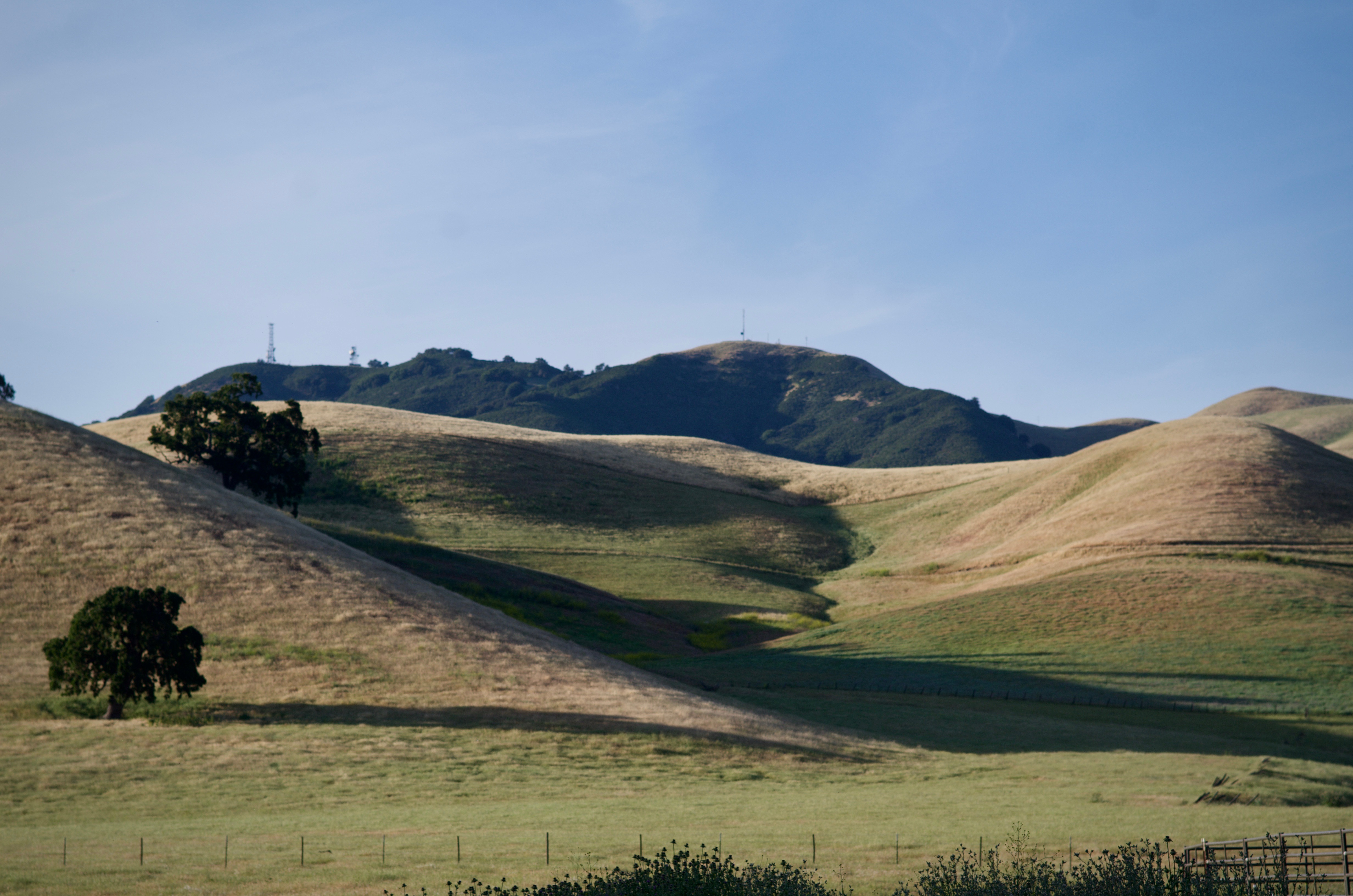
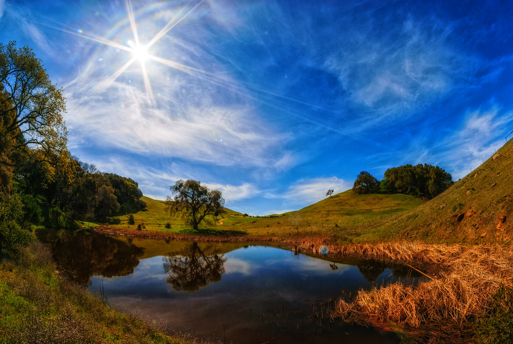
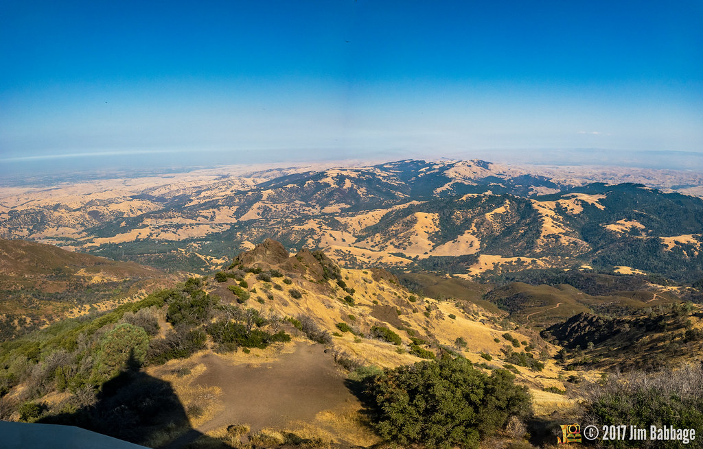
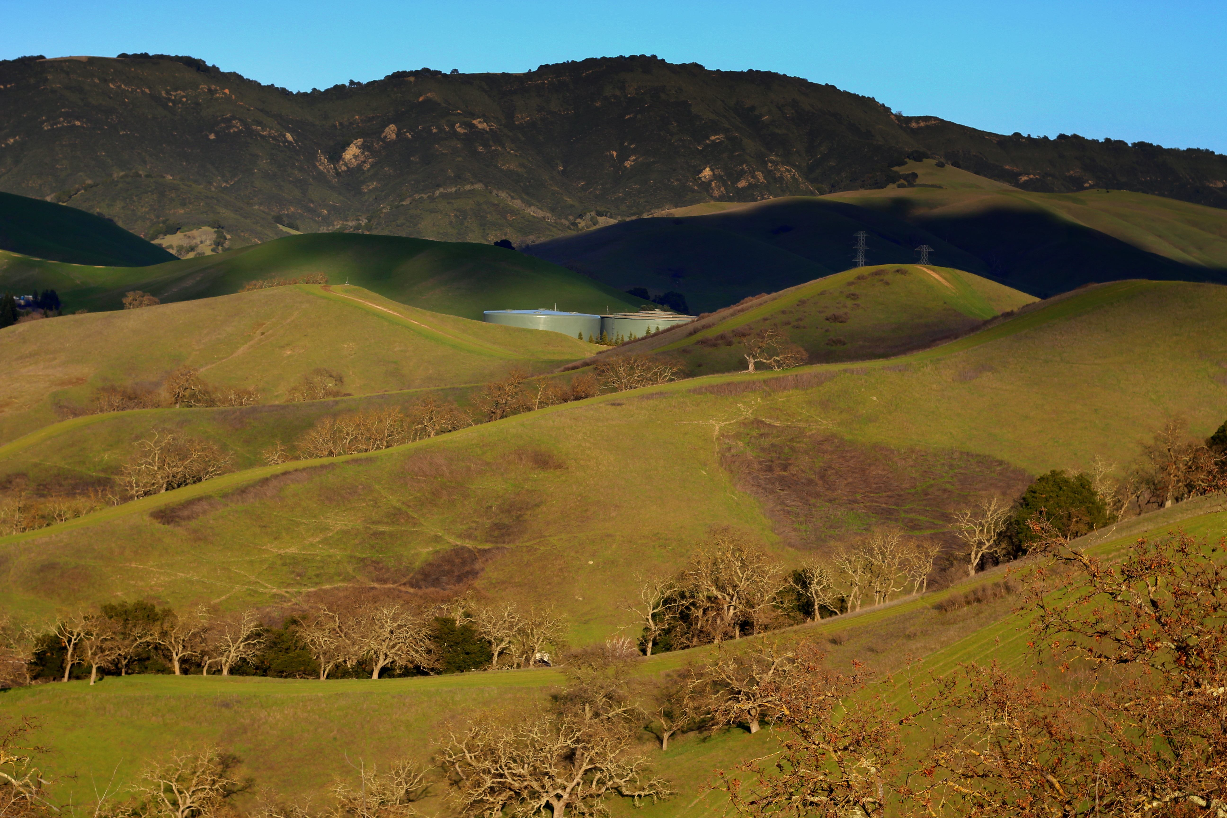
Related Photos:
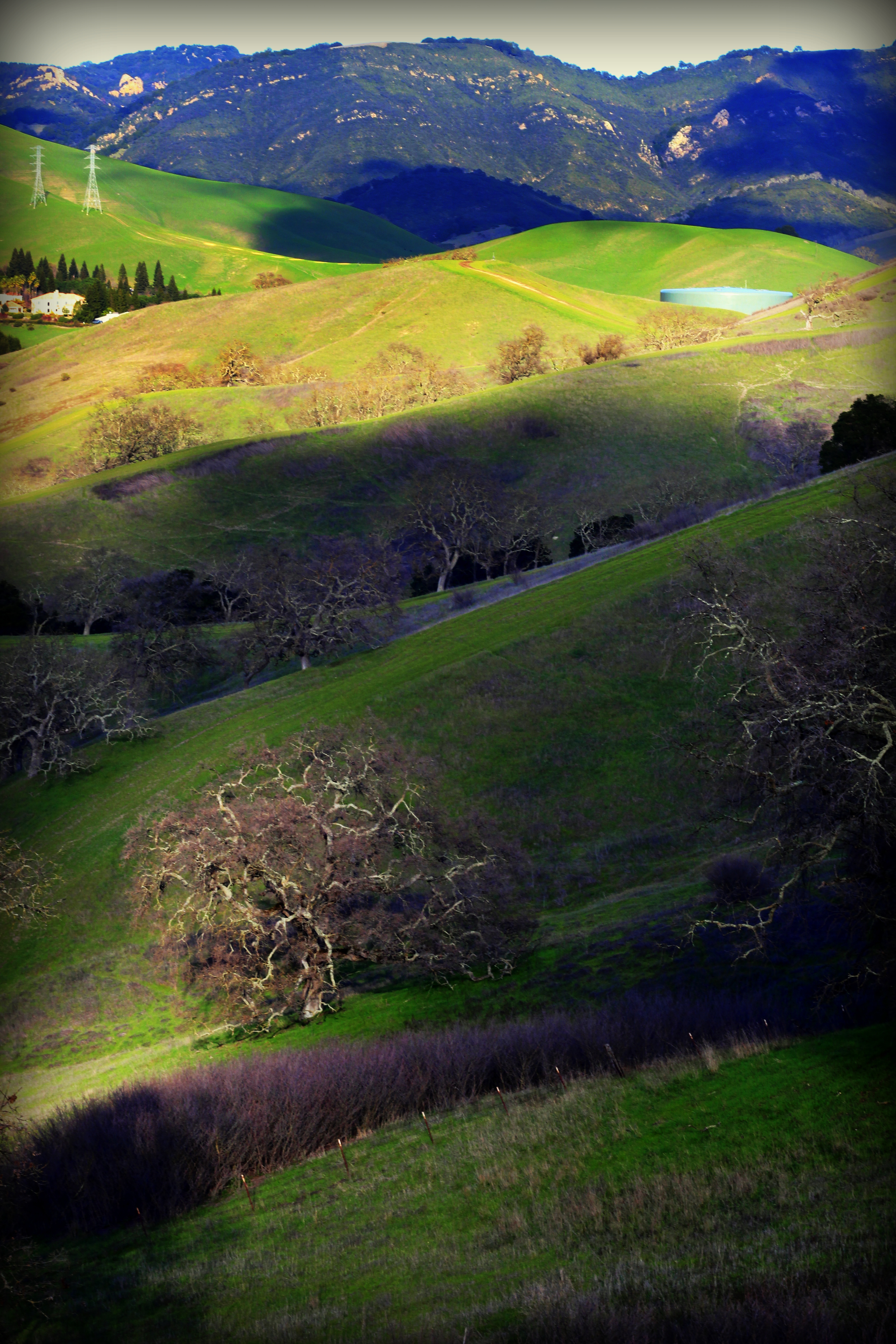
After the Rains

The littlest Daisy

wheels on fire

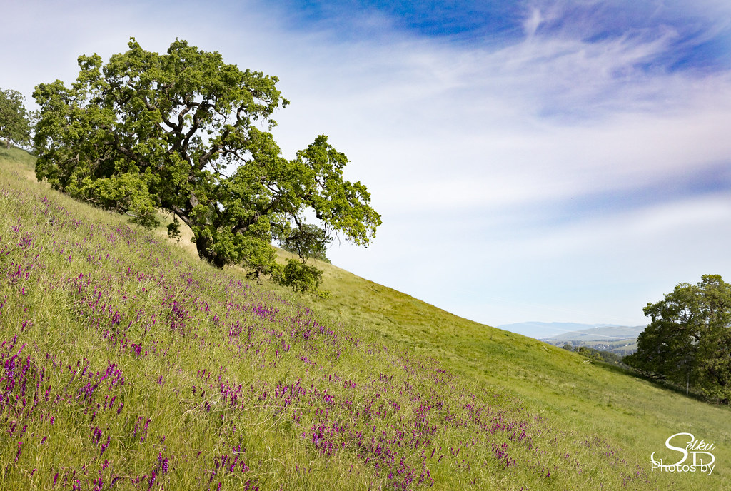
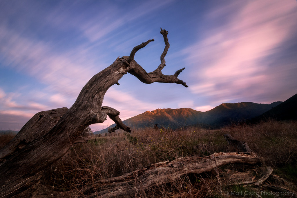
A Gnarly Sunset - California Oak

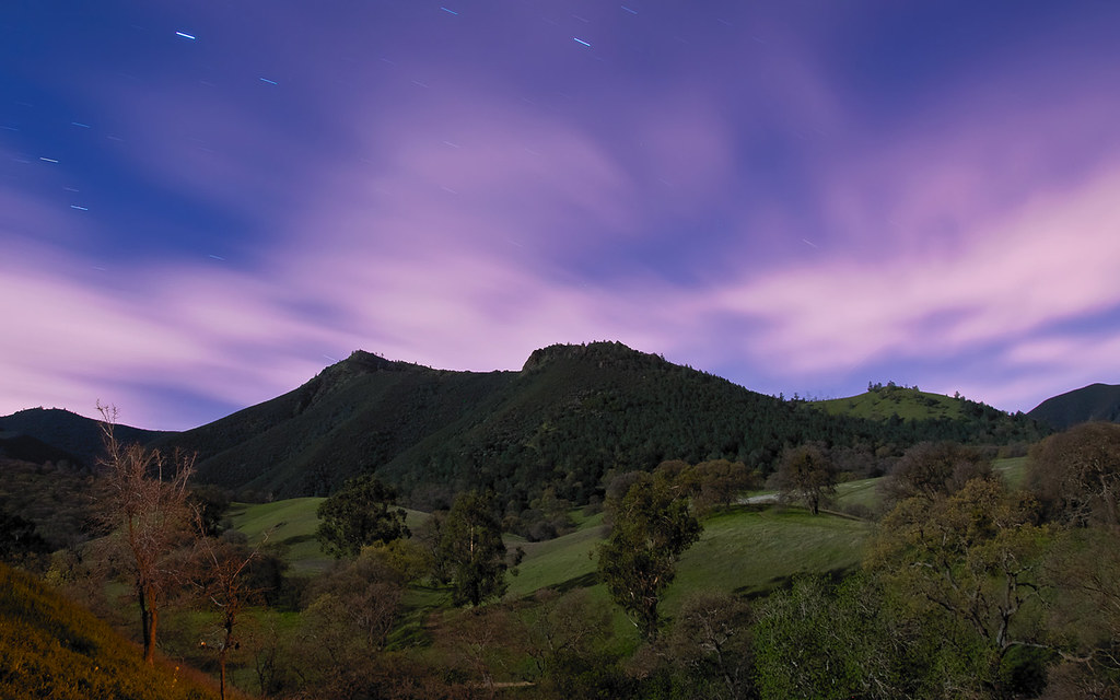
Night View of Tri-Valley

The hills are alive...

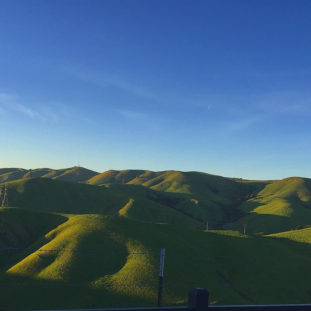
Giddy-Up!
Diablo by Night

Mt. Diablo
#tree #cloud #sky #blue #storm #view #winter
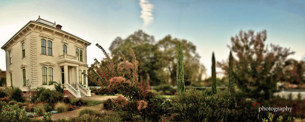
The Glass House (best viewed in Lightbox)
The Old Oak Tree
Fossil Ridge Trail - View Large

Rose 'Cherry Parfait' #2

Riding the Waves

Rose 'French Perfume' 3/4 open
Stroke of Fall
Mt. Diablo Scenic Road

The Midway

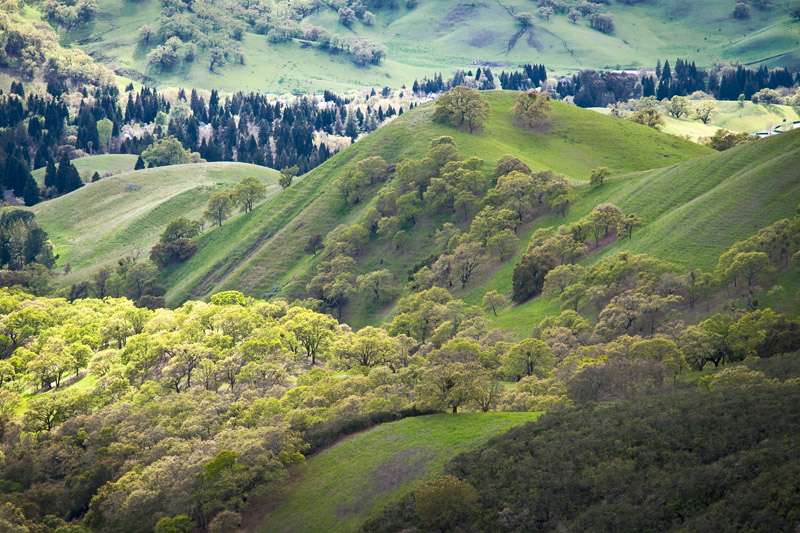
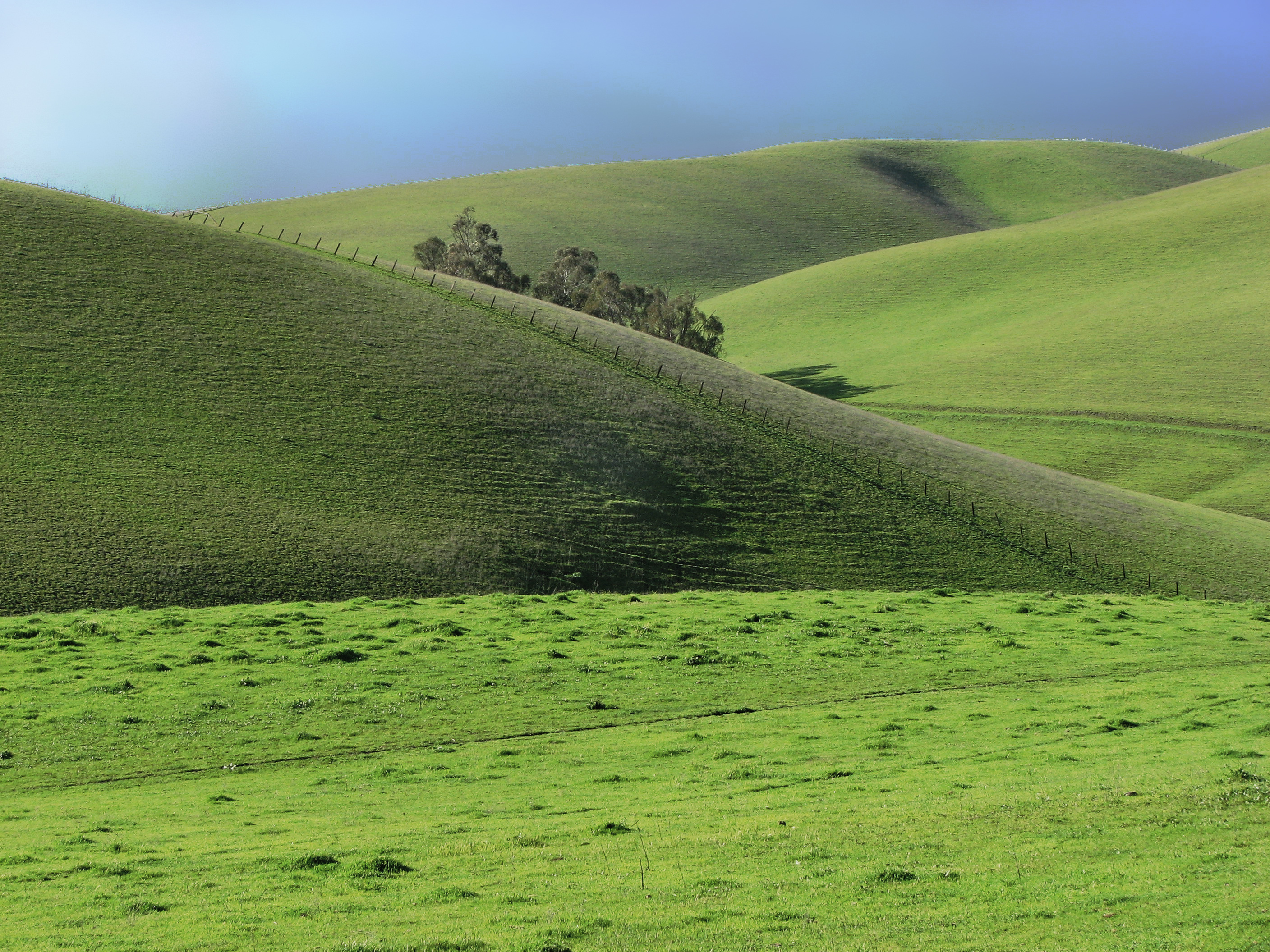
Green, Green Everywhere
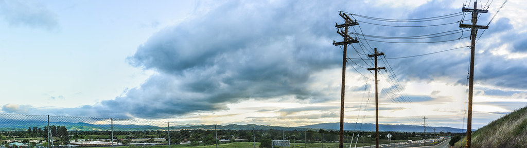
pivot panorama
Mt. Diablo Sunset

spring all the way
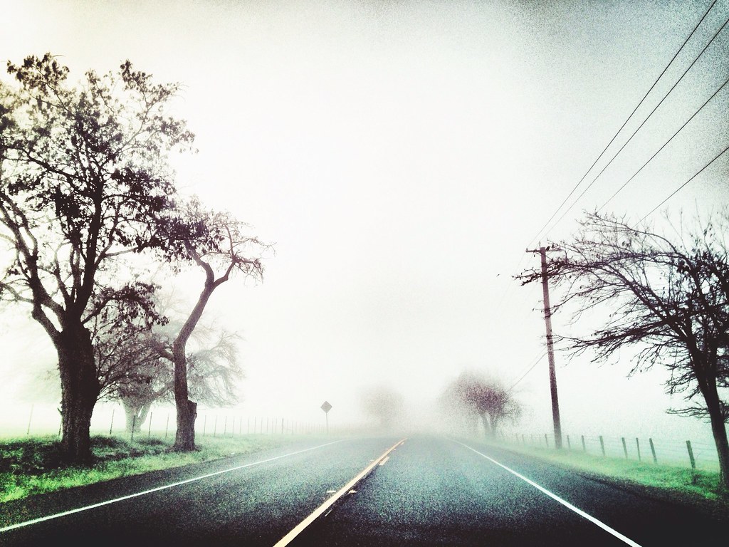
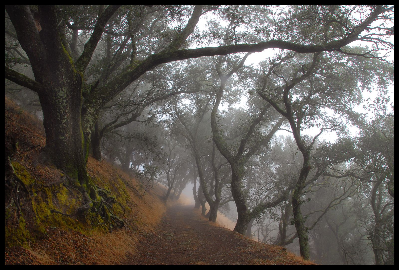
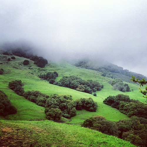
Foggy Road, Livermore
Morgan Territory Road, Livermore, California
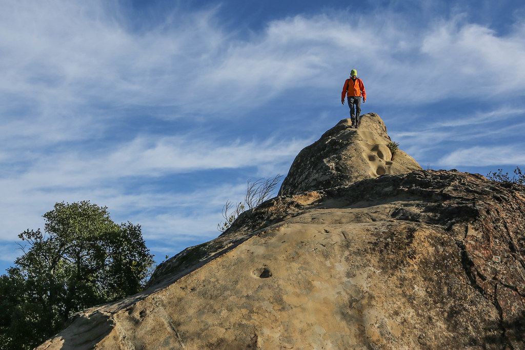
Rock City, Mt. Diablo, California
Doolan Canyon
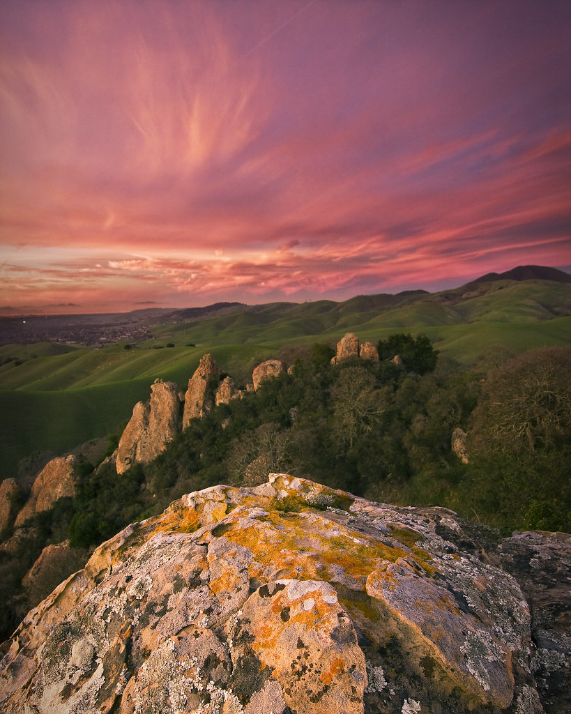
Castle Rocks - Diablo Foothills
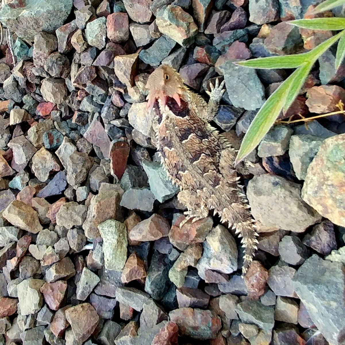
Pacific Horned Lizard
Goodbye Stormy Skies
Something about these hills...remind me of Shrek.
Th fog was rolling in quick!

Las Trampas

It is always worth it
Diablo Hills

Secret Hill

...glowing grasses, so nice to see in late summer and fall
Reinstein Ranch
Almost Noon
APC_1146-hdr-Pano.jpg
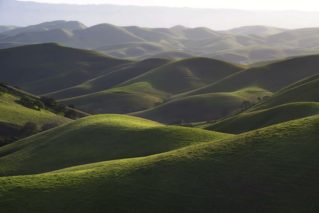
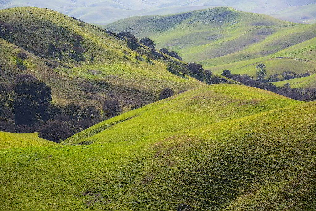
Oceans of Green
Topographic Map of 75 Haskins Ranch Cir, Danville, CA, USA
Find elevation by address:

Places near 75 Haskins Ranch Cir, Danville, CA, USA:
Humphrey Jonathan B C
3897 Blackhawk Rd
3359 Green Meadow Dr
4198 Rockcreek Ct
Eagle Ridge Dr, Danville, CA, USA
350 Castenada Ct
Country Ln, Pleasanton, CA, USA
5600 Bruce Dr
Rock City Park
1231 Dutch Mill Dr
Contra Costa County
5525 Old School Rd
Alameda Diablo, Diablo, CA, USA
Summit Trail Trailhead
51 Hardester Ct
149 Plaza Cir
367 Cameo Dr
7 Country Oak Ln
201 Vagabond Ct
770 Ynez Cir
Recent Searches:
- Elevation of Corso Fratelli Cairoli, 35, Macerata MC, Italy
- Elevation of Tallevast Rd, Sarasota, FL, USA
- Elevation of 4th St E, Sonoma, CA, USA
- Elevation of Black Hollow Rd, Pennsdale, PA, USA
- Elevation of Oakland Ave, Williamsport, PA, USA
- Elevation of Pedrógão Grande, Portugal
- Elevation of Klee Dr, Martinsburg, WV, USA
- Elevation of Via Roma, Pieranica CR, Italy
- Elevation of Tavkvetili Mountain, Georgia
- Elevation of Hartfords Bluff Cir, Mt Pleasant, SC, USA