Elevation of Blackhawk Rd, Blackhawk, CA, USA
Location: United States > California > Contra Costa County > Danville >
Longitude: -121.92132
Latitude: 37.7999824
Elevation: 192m / 630feet
Barometric Pressure: 99KPa
Elevation Map:
Satellite Map:
Related Photos:

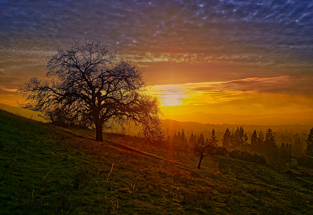
A frosty morning

Room with a View

Mountain View from Old Oak Park

Sunset View from Lime Ridge Open Space
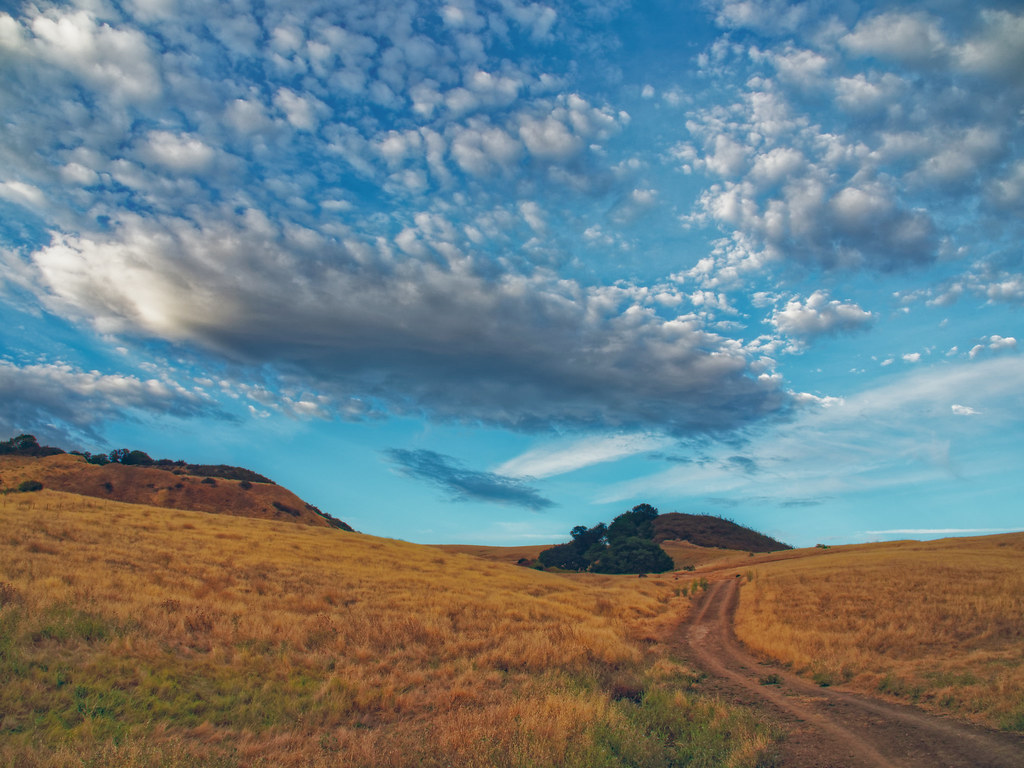
Path to the Clouds
Golden Hour Mountain View (Explored)

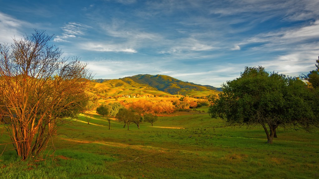
Mountain View from Tice Valley

exchanging one for another

The Old Oak Tree

dublin / pleasanton platform in the rain

After the Rains

Mount Diablo views

suburbian trails

Lime Ridge View to Mt. Diablo

Mt. Diablo Sunset

Fossil Ridge Trail - View Large

Shell Ridge and Mt. Diablo, California (explored)

Aerial view of Mount Diablo in Fog over Northern California

Hiking at Mt. Diablo, Contra Costa County, Northern California, USA

California - Mt. Diablo Summit Road

Mount Diablo Summit Hiking, Clayton, California, USA

Foggy rock

Icy Road
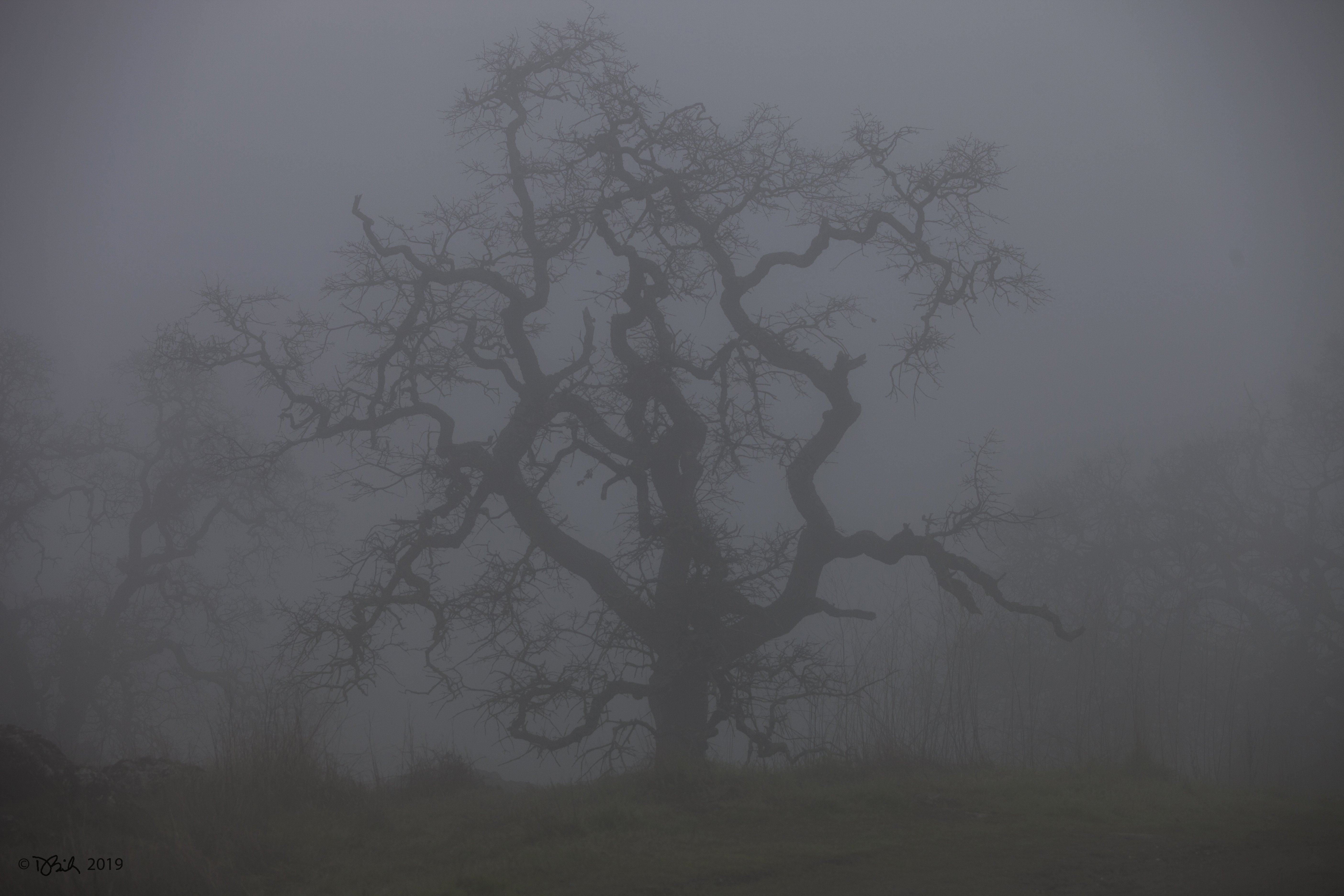
Foggy tree

Foggy Oak

Foggy Oak

Foggy Sunset Overview

Lime Ridge Sunset

Lime Ridge Sunset

Mount Diablo State Park

Old Oak in Spring

Last Traces of Spring

Foggy Blue Hour View

Old Oak Park Vista
Foggy Lime Ridge Sunset

In the Shade of an Oak Tree

Over Hill & Dale

House finch- female

Mount Diablo State Park

Golden Hour - Light & Shadow

Shell Ridge Sunset Vista
Topographic Map of Blackhawk Rd, Blackhawk, CA, USA
Find elevation by address:

Places near Blackhawk Rd, Blackhawk, CA, USA:
Humphrey Jonathan B C
75 Haskins Ranch Cir
3359 Green Meadow Dr
Eagle Ridge Dr, Danville, CA, USA
4198 Rockcreek Ct
350 Castenada Ct
1231 Dutch Mill Dr
Alameda Diablo, Diablo, CA, USA
Rock City Park
Summit Trail Trailhead
Contra Costa County
51 Hardester Ct
Country Ln, Pleasanton, CA, USA
5600 Bruce Dr
149 Plaza Cir
367 Cameo Dr
5525 Old School Rd
770 Ynez Cir
870 Bali Ct
201 Vagabond Ct
Recent Searches:
- Elevation of Corso Fratelli Cairoli, 35, Macerata MC, Italy
- Elevation of Tallevast Rd, Sarasota, FL, USA
- Elevation of 4th St E, Sonoma, CA, USA
- Elevation of Black Hollow Rd, Pennsdale, PA, USA
- Elevation of Oakland Ave, Williamsport, PA, USA
- Elevation of Pedrógão Grande, Portugal
- Elevation of Klee Dr, Martinsburg, WV, USA
- Elevation of Via Roma, Pieranica CR, Italy
- Elevation of Tavkvetili Mountain, Georgia
- Elevation of Hartfords Bluff Cir, Mt Pleasant, SC, USA