Elevation of Cashmere, WA, USA
| Latitude | 47.5223465 |
|---|---|
| Longitude | -120.4698024 |
| Elevation | 241m / 791feet |
| Barometric Pressure | 985KPa |
Related Photos:
LV0850DSC00232.JPG

Western Fence Lizard
LV0844DSC00226.JPG

LV0860DSC00242.JPG
LV0885DSC00267.JPG
LV0457DSC00133.JPG

Breakfast view.
LV0883DSC00265.JPG
LV0888DSC00270.JPG
LV0462DSC00138.JPG
LV0889DSC00271.JPG
LV0460DSC00136.JPG
LV0845DSC00227.JPG
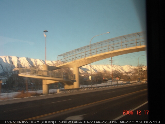
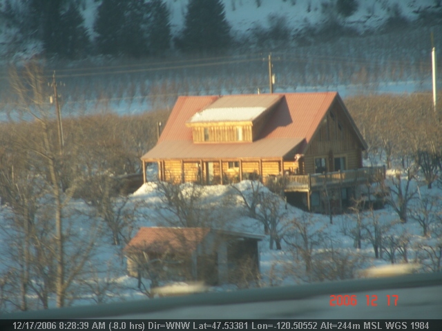
Outside of Leavenworth, Washington
LV0474DSC00150.JPG
LV0887DSC00269.JPG
LV0875DSC00257.JPG
LV0881DSC00263.JPG
LV0884DSC00266.JPG

LV0848DSC00230.JPG
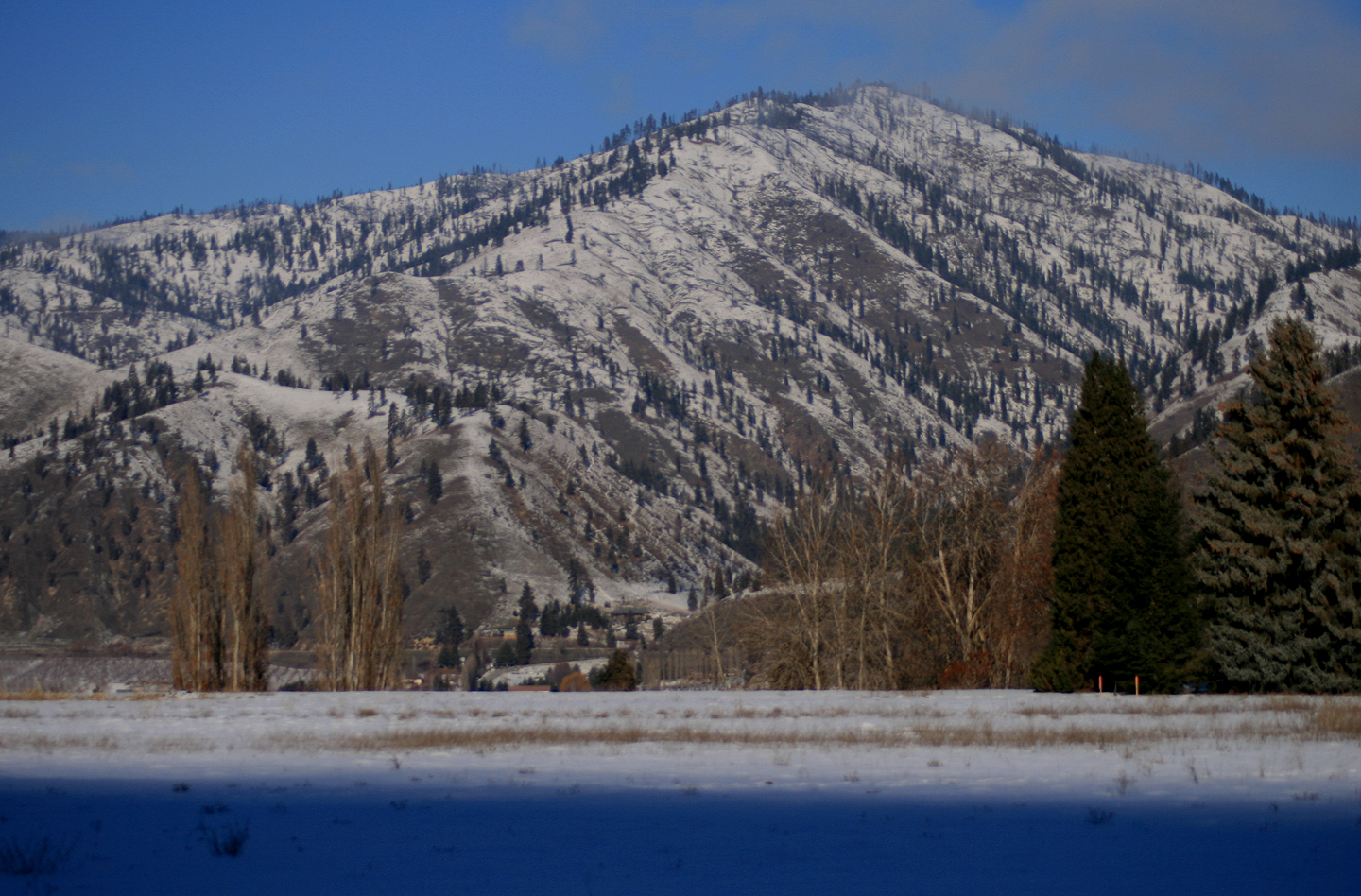
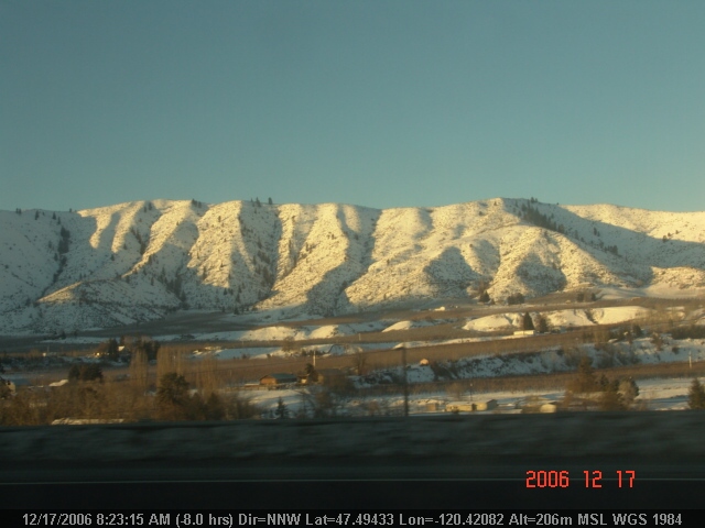
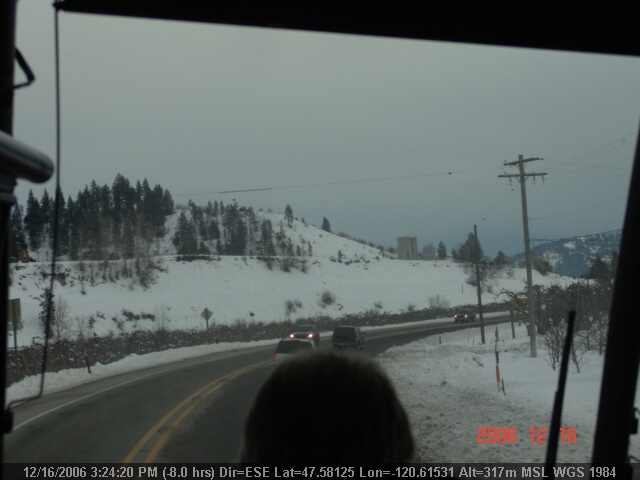
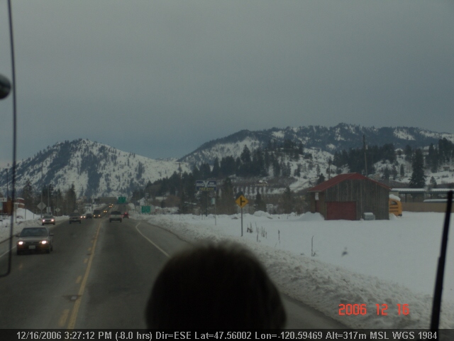
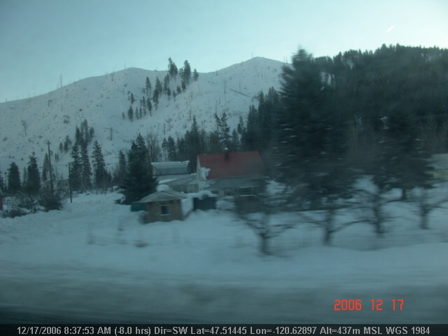
Cashmere, WA
IMG_5517-Edit.jpg

Hello September
The end of summer
DSC_0030 (1)

Peeling on Texture

Orchards on top of orchards!

Morning of marathon.

IMG_5310.jpg

Morn Orchards
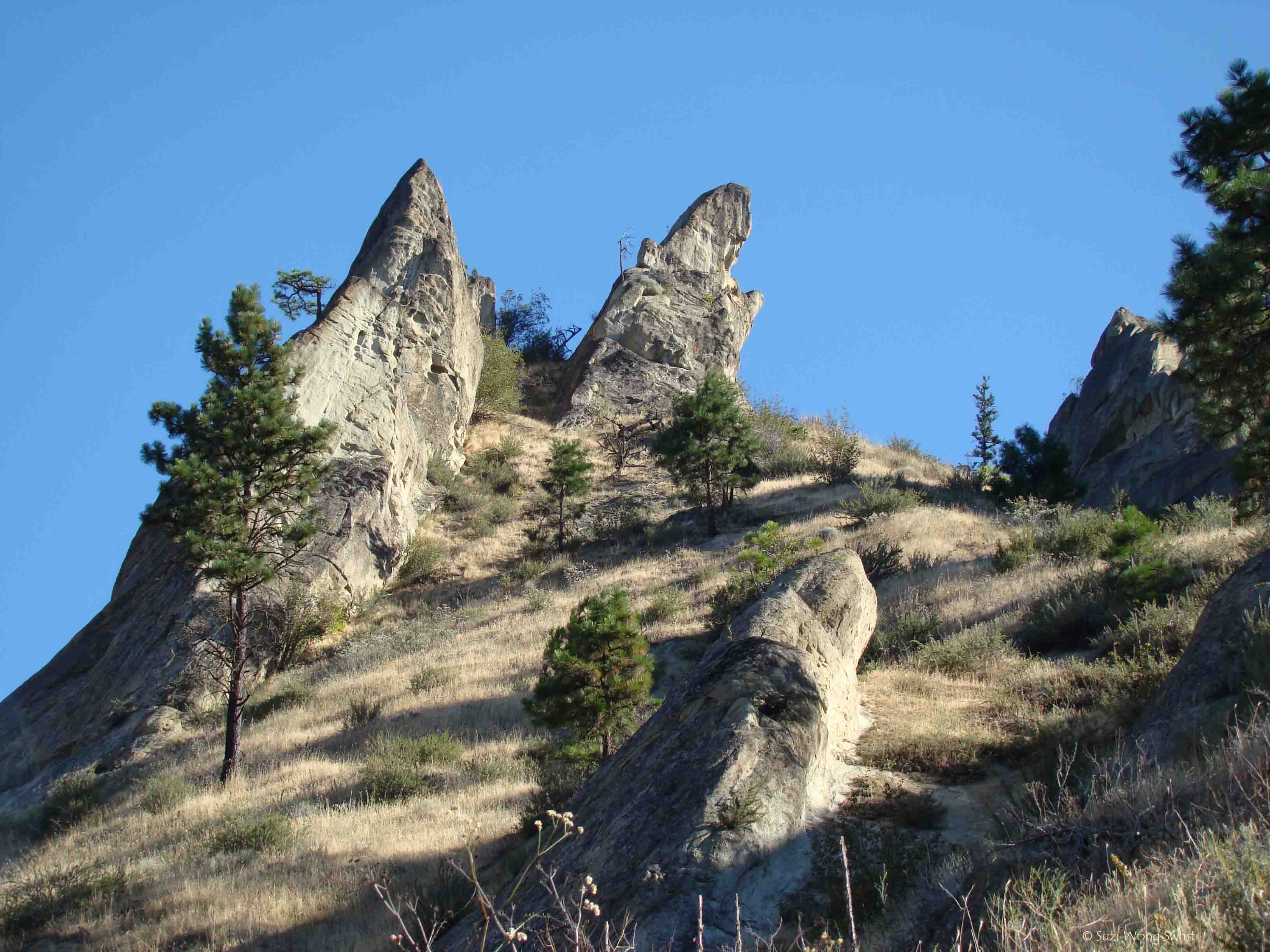
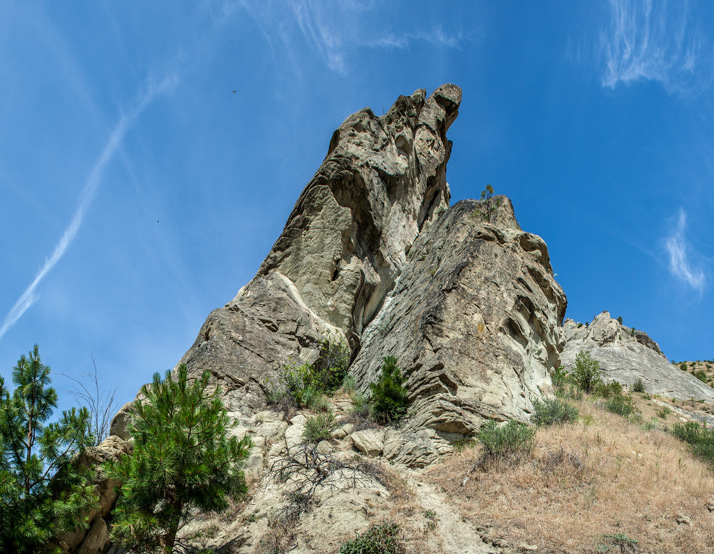
Peshastin Pinnacles_4258

Door Number One

Splitting Peels
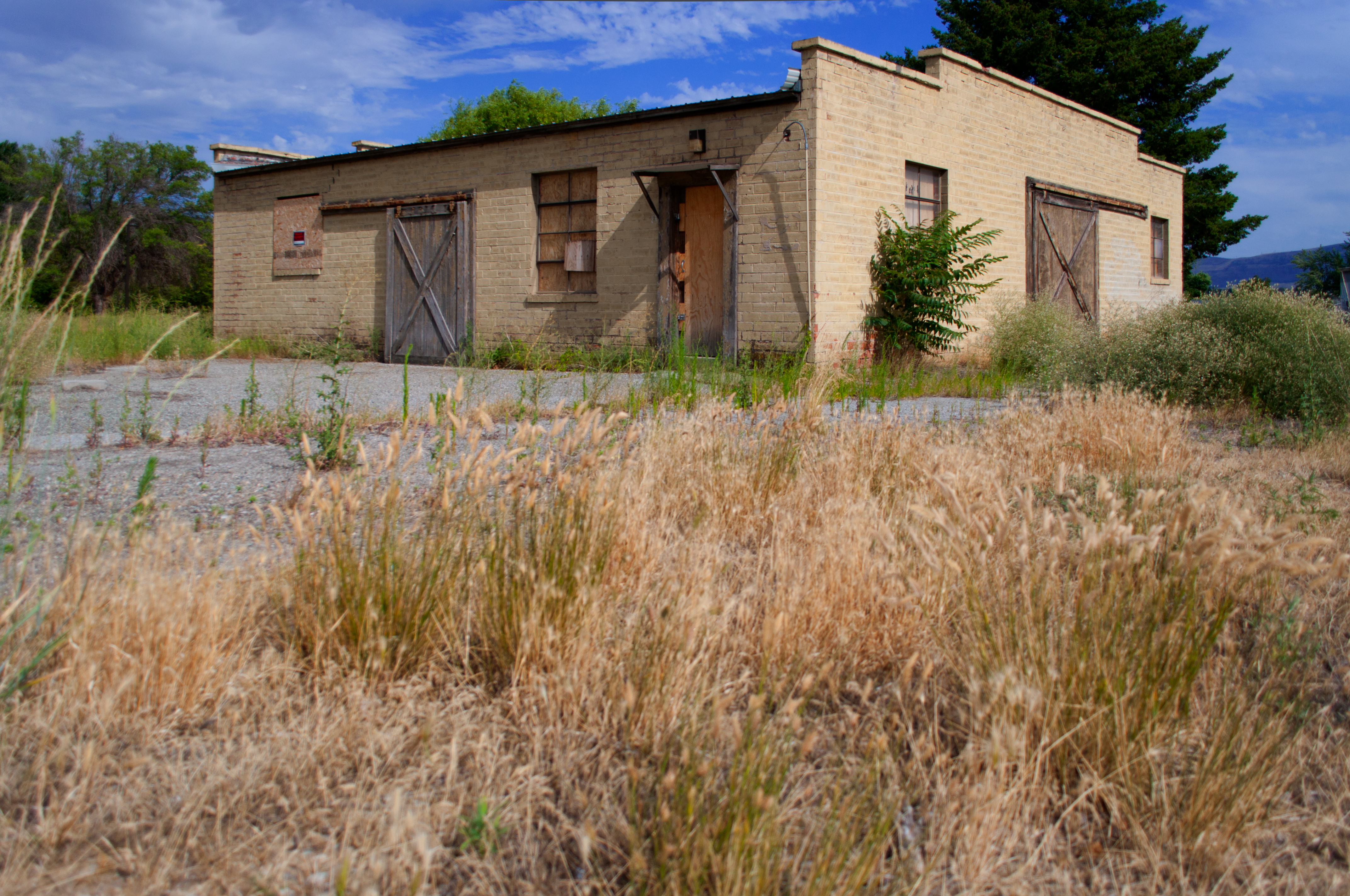
Forgotten 1A

Lincon Rock Park.

Enchantment Peaks, Washington
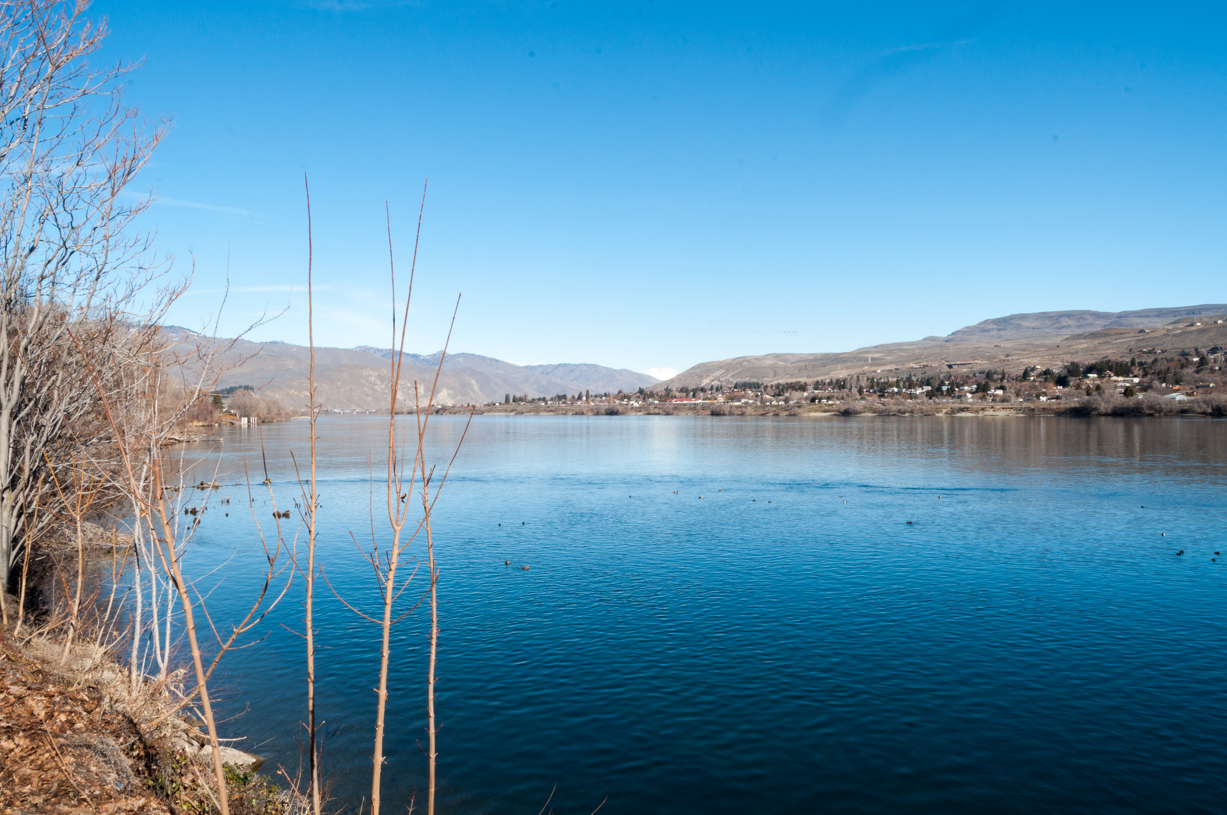
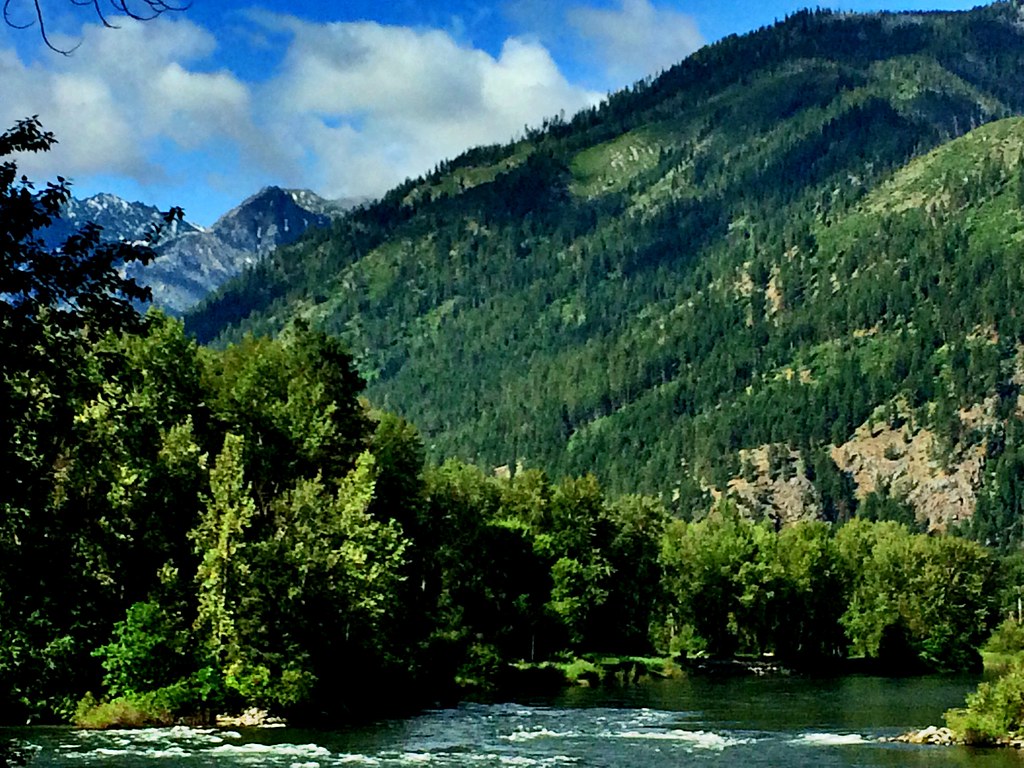
Columbia River

My Path is Lit
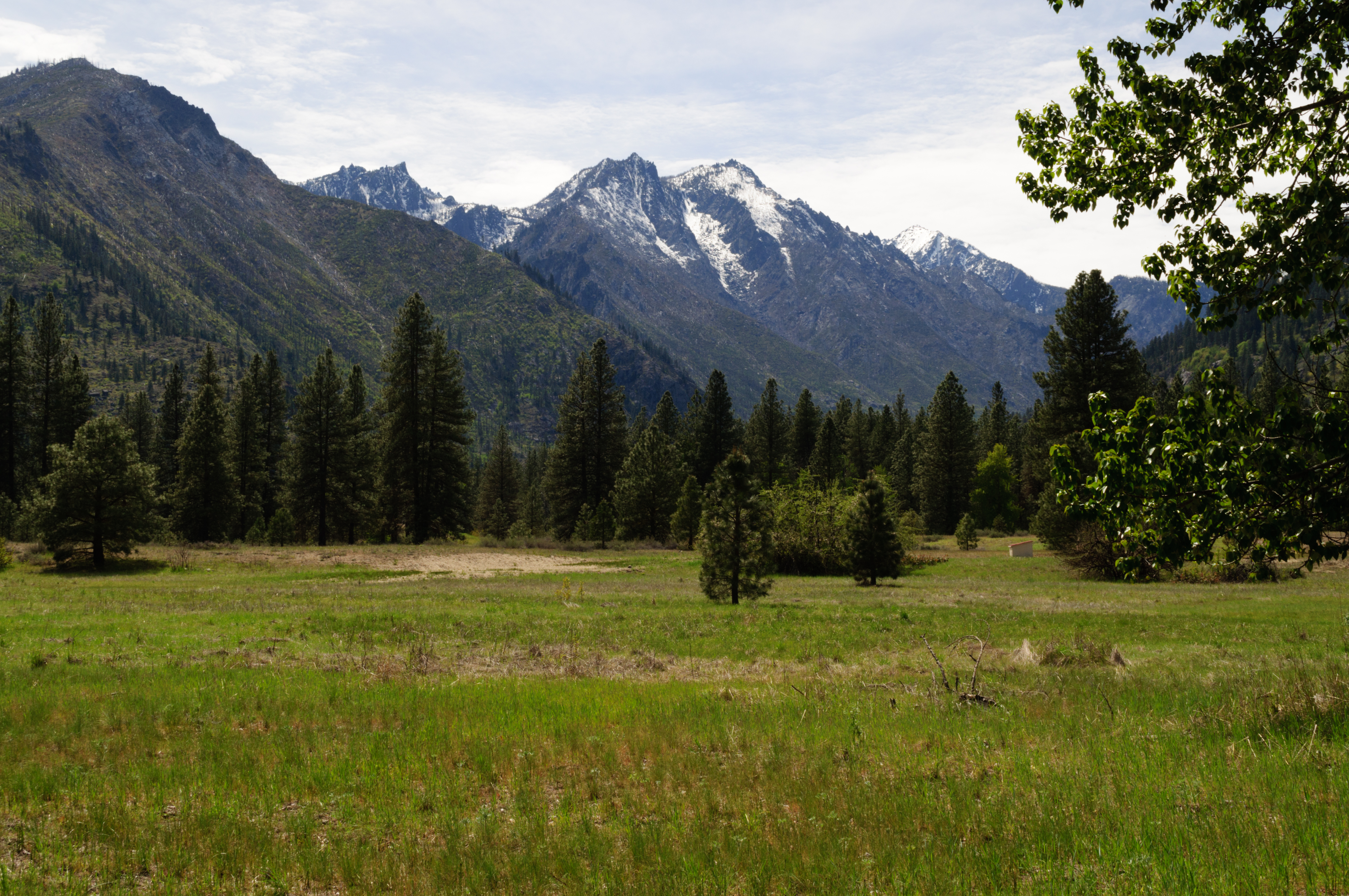
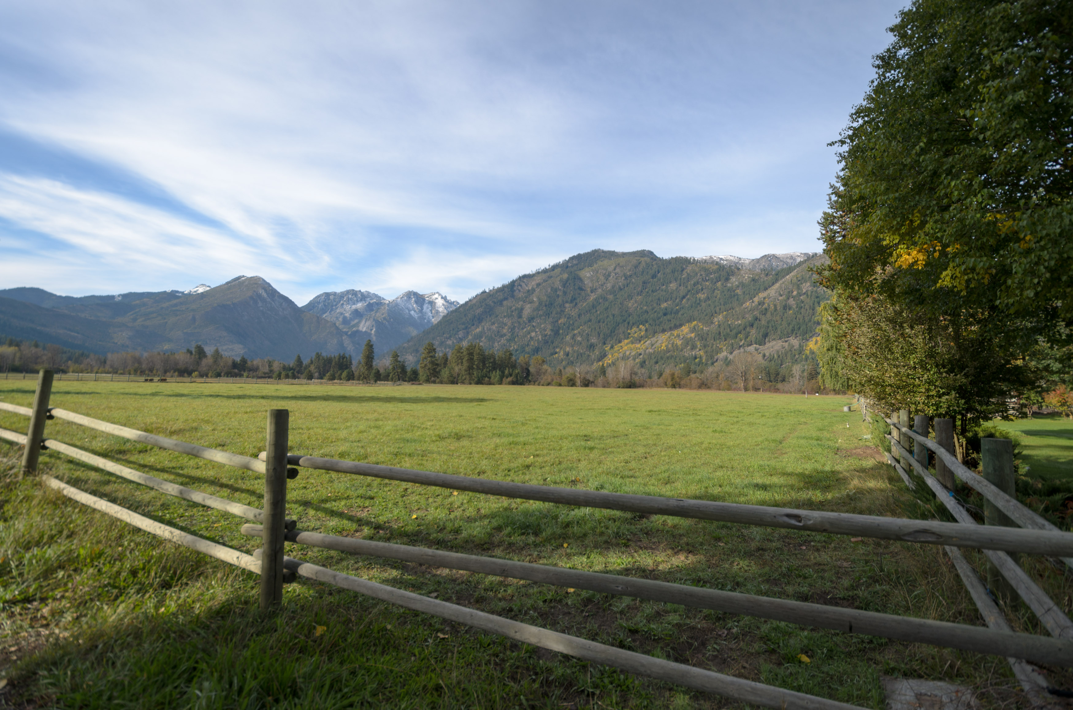
Field To Mountain 1
2012 051312 (19)
Topographic Map of Cashmere, WA, USA
Find elevation by address:
Places in Cashmere, WA, USA:
Places near Cashmere, WA, USA:
509 Cottage Ave
Cashmere High School
Dryden
Horse Lake Trailhead
April Drive
Camas Land
Wedge Mountain Inn
4060 Knowles Rd
Wedge Mountain Winery
48 W Mountain Brook Ln
8695 Larson Rd
8654 Larson Rd
8053 Green Rd
51 Wedge Mountain Estates Rd
10125 Beecher Hill Rd
500 Austin Ave
401 Austin Ave
Sunnyslope
10090 Main St
Peshastin
Recent Searches:
- Elevation of 104, Chancery Road, Middletown Township, Bucks County, Pennsylvania, 19047, USA
- Elevation of 1212, Cypress Lane, Dayton, Liberty County, Texas, 77535, USA
- Elevation map of Central Hungary, Hungary
- Elevation map of Pest, Central Hungary, Hungary
- Elevation of Pilisszentkereszt, Pest, Central Hungary, Hungary
- Elevation of Dharamkot Tahsil, Punjab, India
- Elevation of Bhinder Khurd, Dharamkot Tahsil, Punjab, India
- Elevation of 2881, Chabot Drive, San Bruno, San Mateo County, California, 94066, USA
- Elevation of 10370, West 107th Circle, Westminster, Jefferson County, Colorado, 80021, USA
- Elevation of 611, Roman Road, Old Ford, Bow, London, England, E3 2RW, United Kingdom
- Elevation of 116, Beartown Road, Underhill, Chittenden County, Vermont, 05489, USA
- Elevation of Window Rock, Colfax County, New Mexico, 87714, USA
- Elevation of 4807, Rosecroft Street, Kempsville Gardens, Virginia Beach, Virginia, 23464, USA
- Elevation map of Matawinie, Quebec, Canada
- Elevation of Sainte-Émélie-de-l'Énergie, Matawinie, Quebec, Canada
- Elevation of Rue du Pont, Sainte-Émélie-de-l'Énergie, Matawinie, Quebec, J0K2K0, Canada
- Elevation of 8, Rue de Bécancour, Blainville, Thérèse-De Blainville, Quebec, J7B1N2, Canada
- Elevation of Wilmot Court North, 163, University Avenue West, Northdale, Waterloo, Region of Waterloo, Ontario, N2L6B6, Canada
- Elevation map of Panamá Province, Panama
- Elevation of Balboa, Panamá Province, Panama