Elevation of Cottage Ave, Cashmere, WA, USA
Location: United States > Washington > Chelan County > Cashmere >
Longitude: -120.45912
Latitude: 47.5209252
Elevation: -10000m / -32808feet
Barometric Pressure: 295KPa
Elevation Map:
Satellite Map:
Related Photos:

Golden Eagle

Breakfast view.
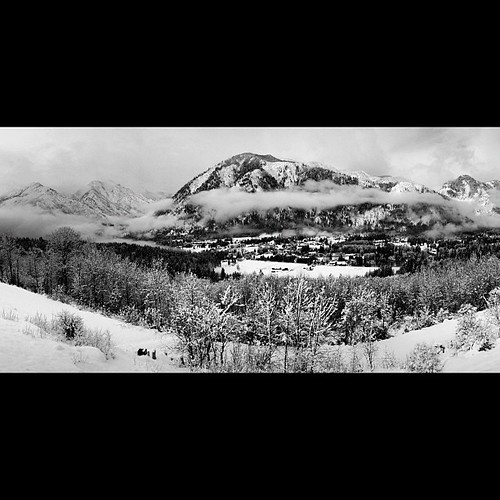
Deck view - it was snowing all night! #leavenworth

Western Fence Lizard

Peshastin Pinnacles

LV0844DSC00226.JPG

LV0885DSC00267.JPG

LV0850DSC00232.JPG

LV0833DSC00215.JPG

LV0822DSC00204.JPG

LV0889DSC00271.JPG

LV0830DSC00212.JPG

LV0883DSC00265.JPG

LV0832DSC00214.JPG

LV0845DSC00227.JPG
LV0860DSC00242.JPG

LV0824DSC00206.JPG

LV0887DSC00269.JPG

LV0462DSC00138.JPG

LV0474DSC00150.JPG

Swakane Canyon west view

Icicle Creek_5685

You'll come back around

Splitting Peels

Pinus ponderosa

IMG_1845.jpg
DSC_0030 (1)
IMG_1840.jpg

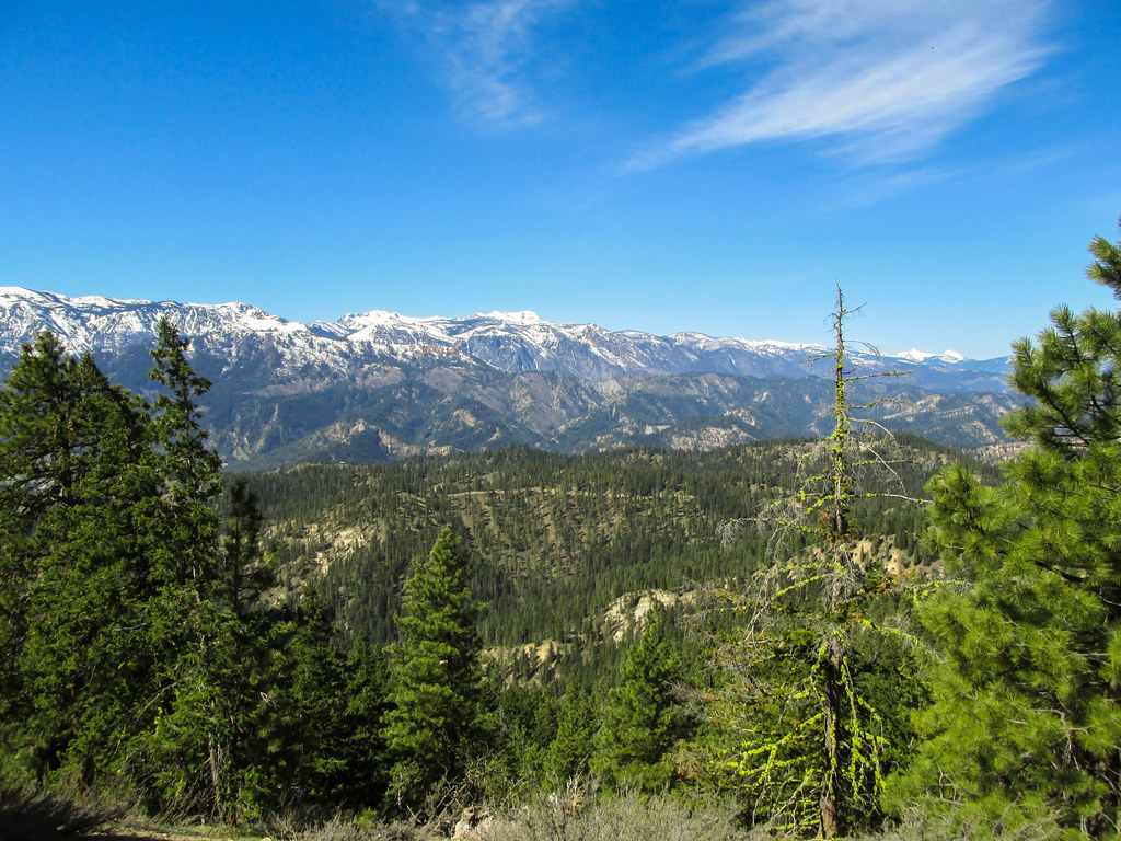
Stuart Range

Rocky Reach Dam, Washington

Columbia River Reflection

IMG_1828.jpg

DSC00421-HDR-Pano

Sage Hills & Enchantment Peaks

A little bit of everything....

Swakane Canyon from slope

A little bit of everything....

IMG_5517-Edit.jpg

Mount Stuart

rb2-2

PIX-IMG_5375HDTV-Test-g

Orchards on top of orchards!
Topographic Map of Cottage Ave, Cashmere, WA, USA
Find elevation by address:

Places near Cottage Ave, Cashmere, WA, USA:
Cashmere
Cashmere High School
Horse Lake Trailhead
April Drive
Dryden
4060 Knowles Rd
48 W Mountain Brook Ln
Camas Land
Wedge Mountain Inn
Sunnyslope
500 Austin Ave
401 Austin Ave
1844 Mckittrick St
1620 Mckittrick St
Wedge Mountain Winery
2062 Stiss Canyon Rd
2061 Stiss Canyon Rd
1 Warehouse Rd
8695 Larson Rd
1392 Brown St
Recent Searches:
- Elevation of Corso Fratelli Cairoli, 35, Macerata MC, Italy
- Elevation of Tallevast Rd, Sarasota, FL, USA
- Elevation of 4th St E, Sonoma, CA, USA
- Elevation of Black Hollow Rd, Pennsdale, PA, USA
- Elevation of Oakland Ave, Williamsport, PA, USA
- Elevation of Pedrógão Grande, Portugal
- Elevation of Klee Dr, Martinsburg, WV, USA
- Elevation of Via Roma, Pieranica CR, Italy
- Elevation of Tavkvetili Mountain, Georgia
- Elevation of Hartfords Bluff Cir, Mt Pleasant, SC, USA