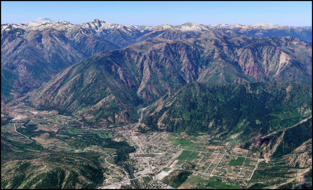
Elevation of Beecher Hill Rd, Peshastin, WA, USA
Location: United States > Washington > Chelan County > Peshastin >
Longitude: -120.60444
Latitude: 47.5601787
Elevation: 357m / 1171feet
Barometric Pressure: 97KPa
Elevation Map:
Satellite Map:
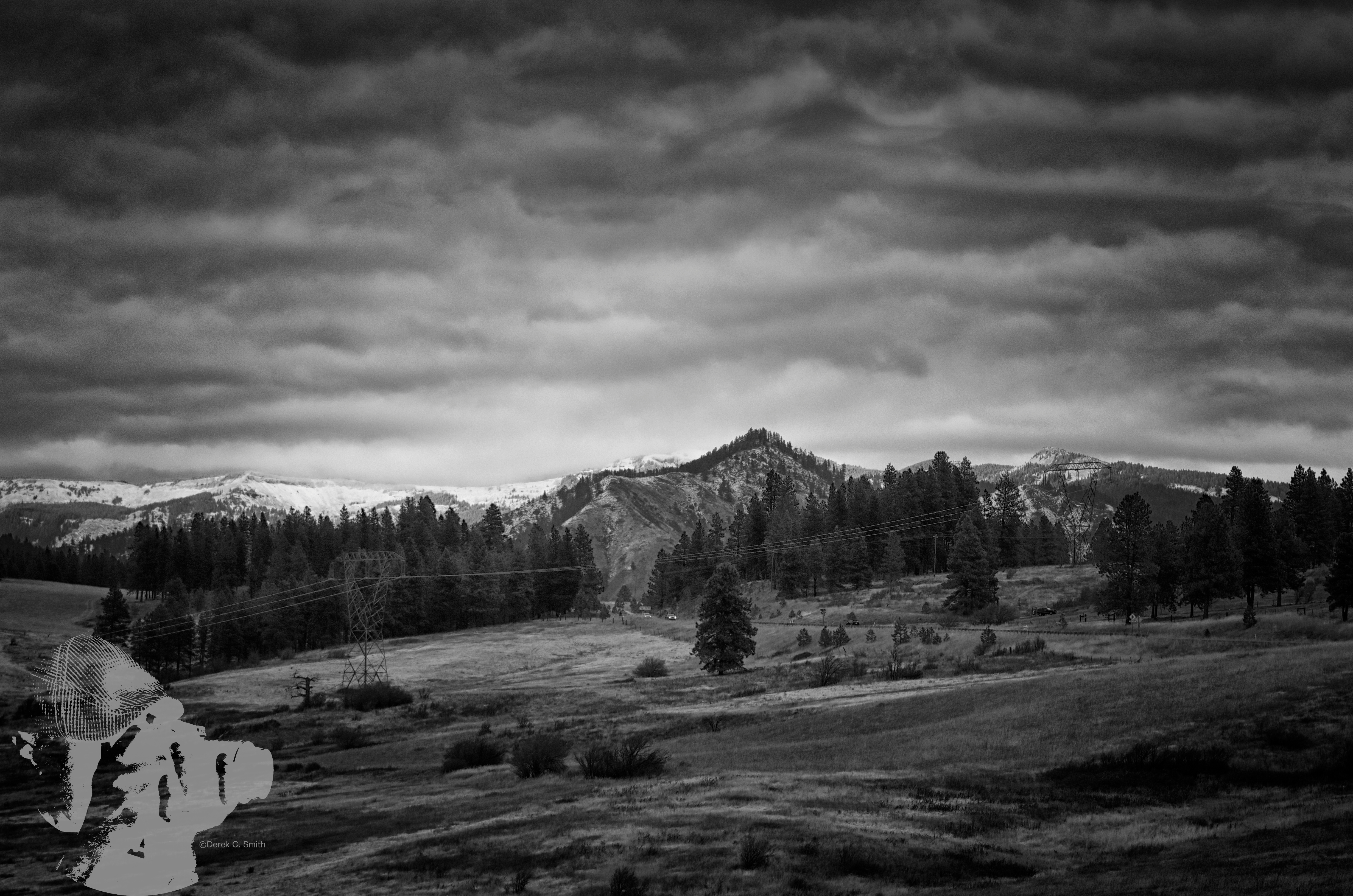
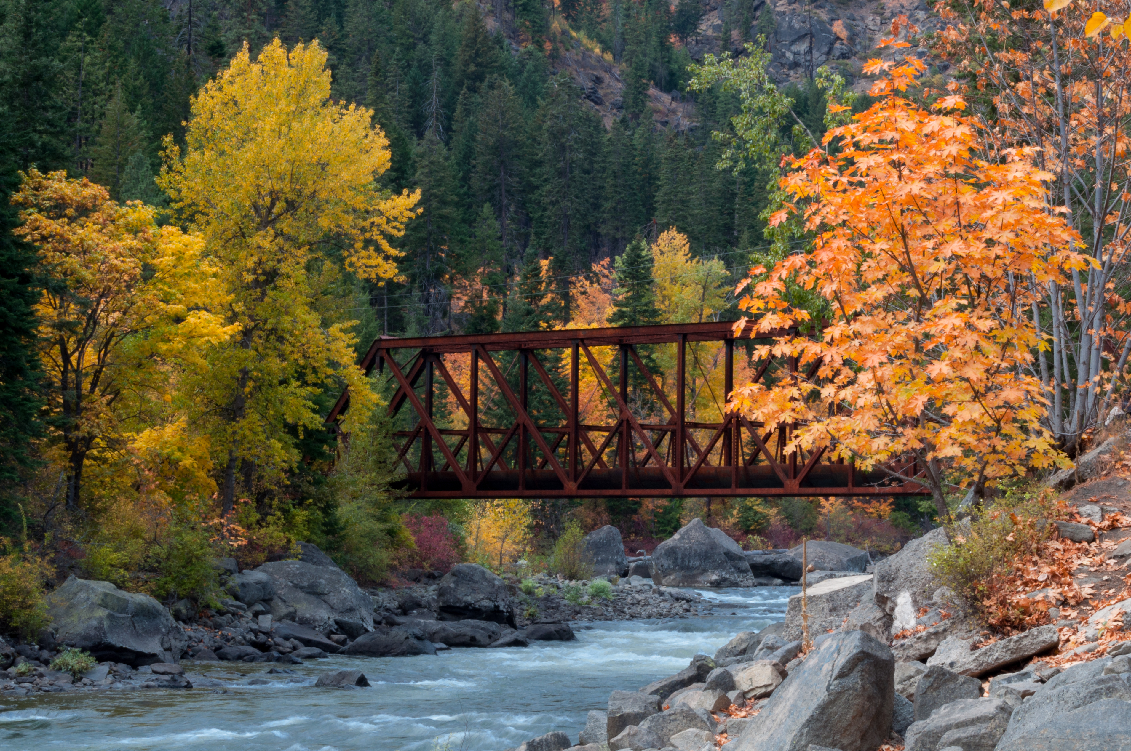
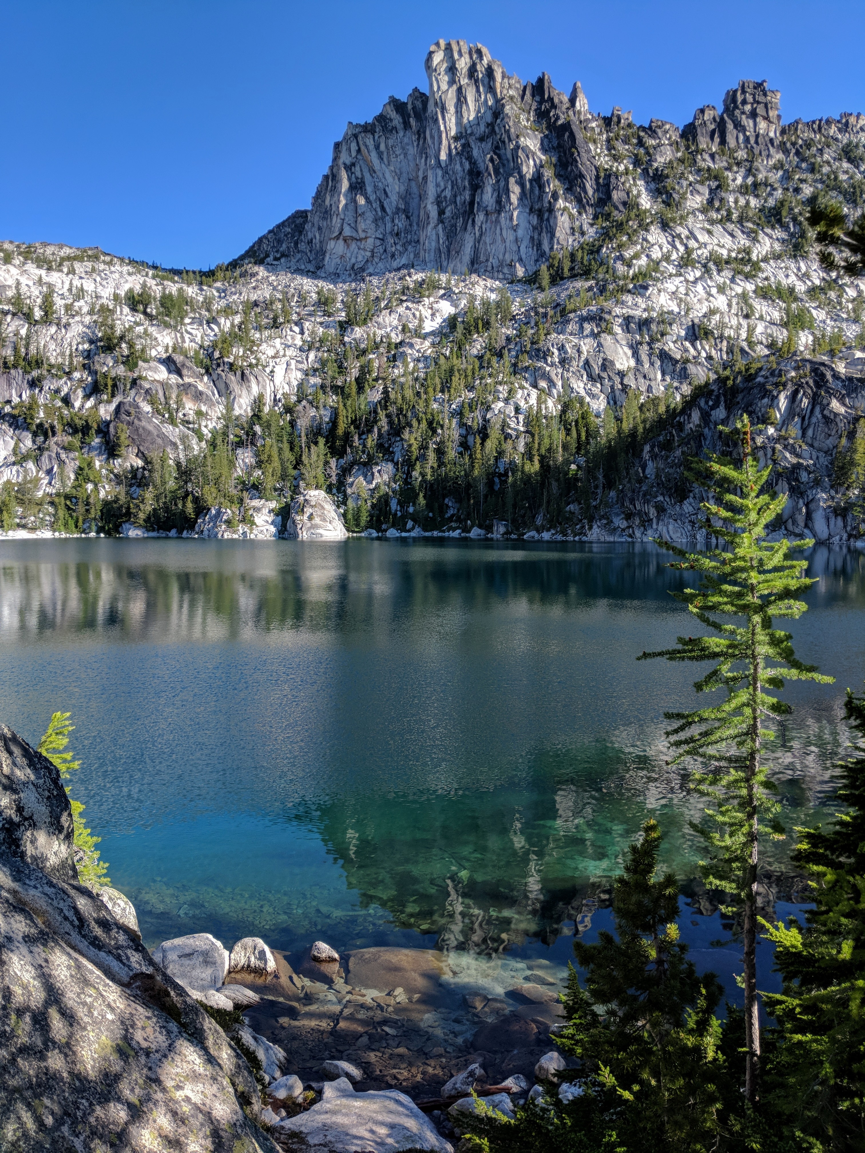
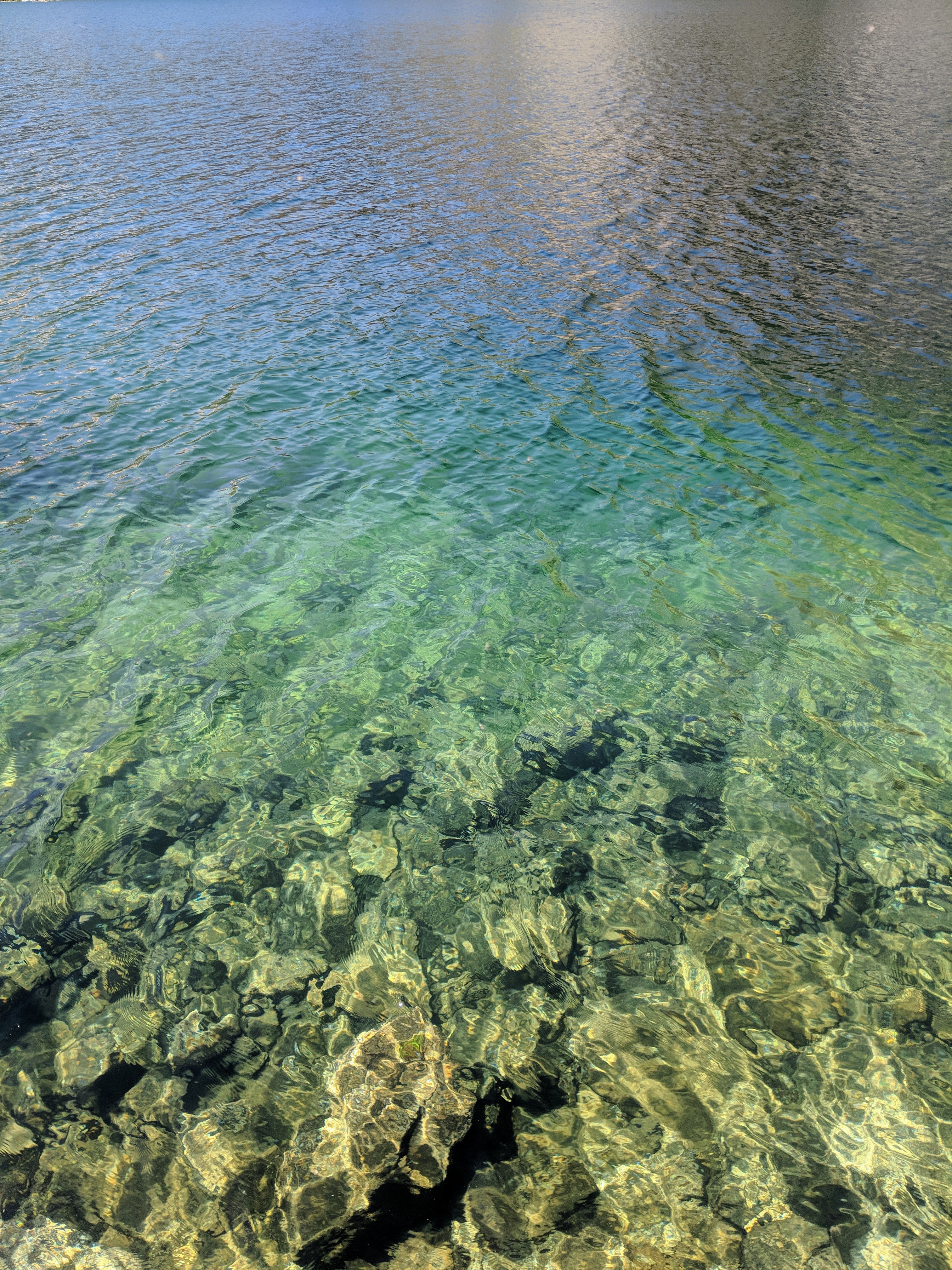
Related Photos:

Painting On Still Water
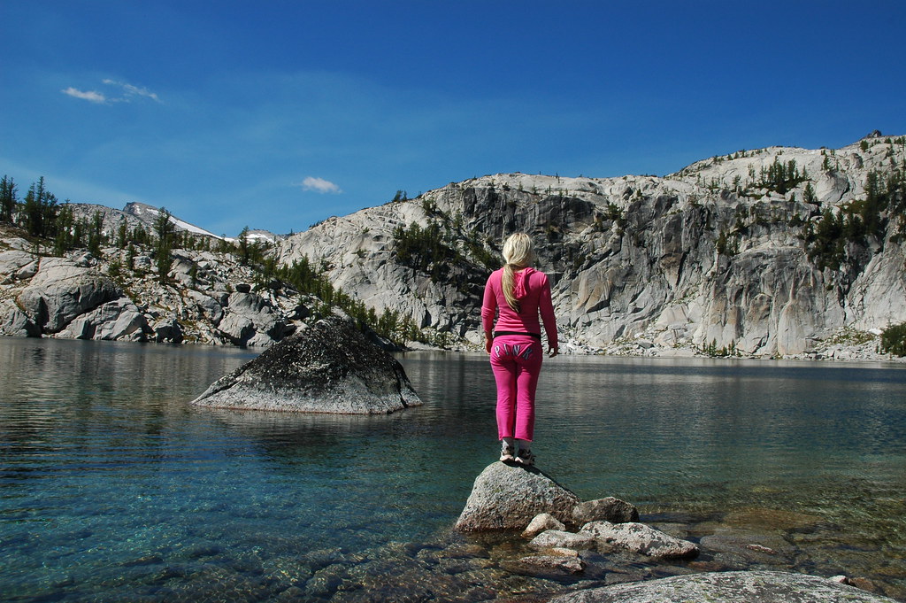
P I N K
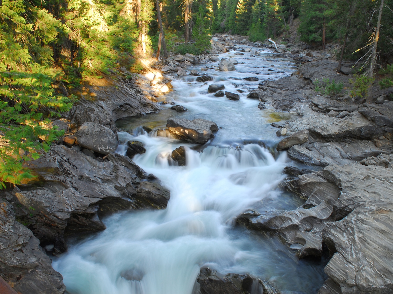
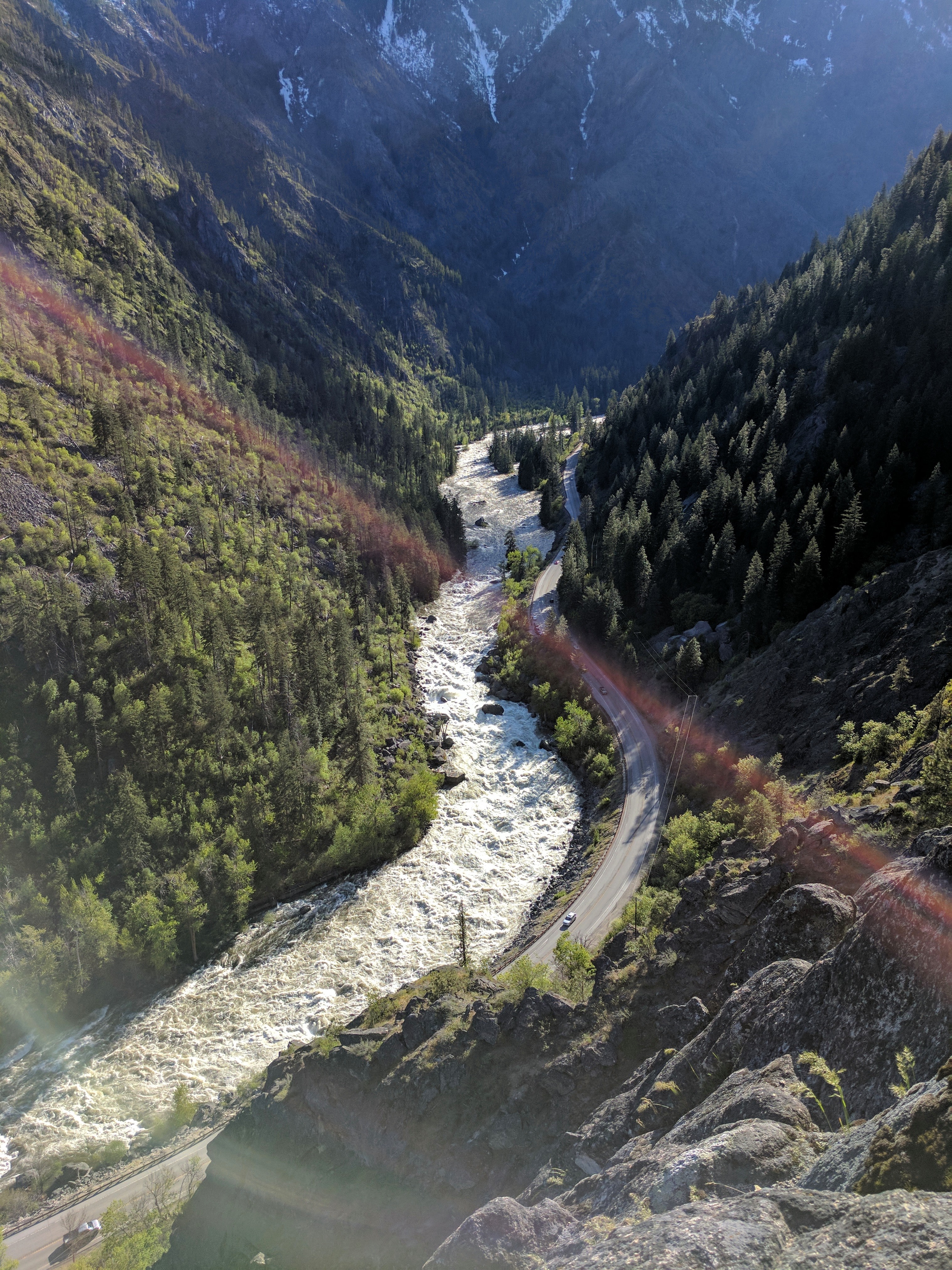
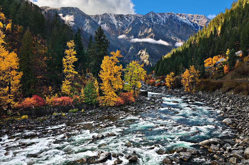
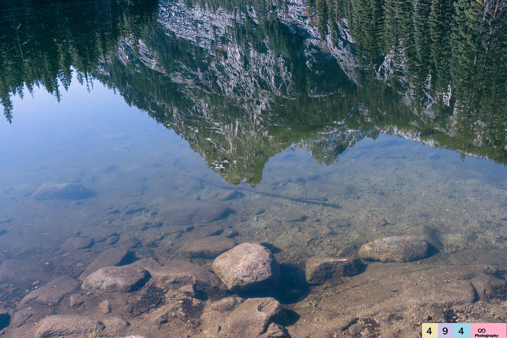
Rocky river

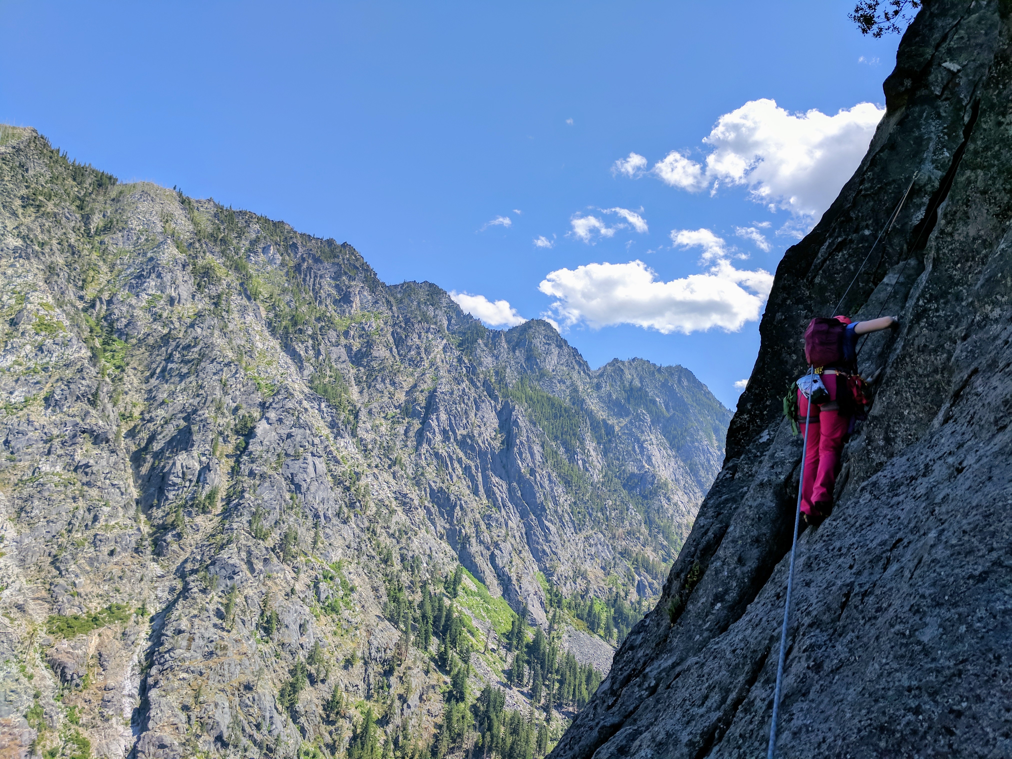
Views from the Last Pitch

It's Beyond Me
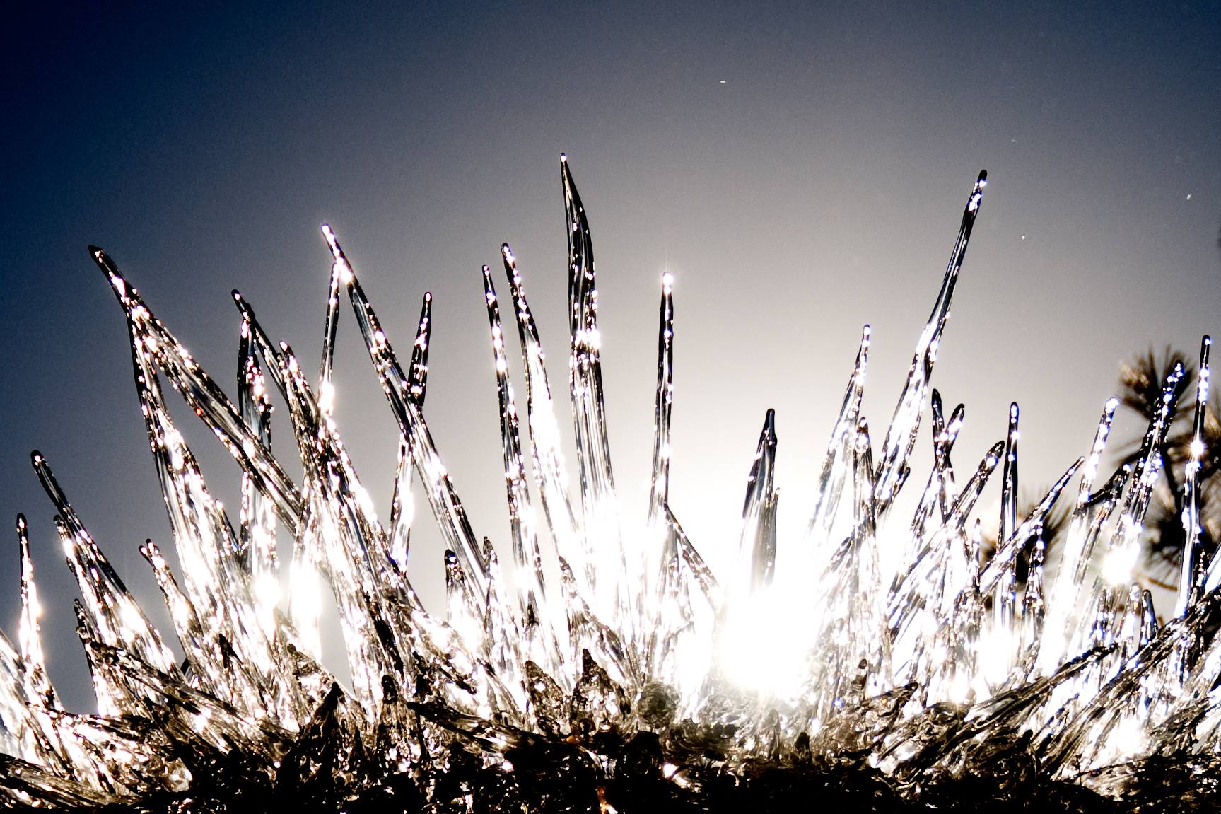
Icicles Ascending

Prusik Peak
Early Leavenworth Morning
A nice view of the Wenatchee river
Along the bike path
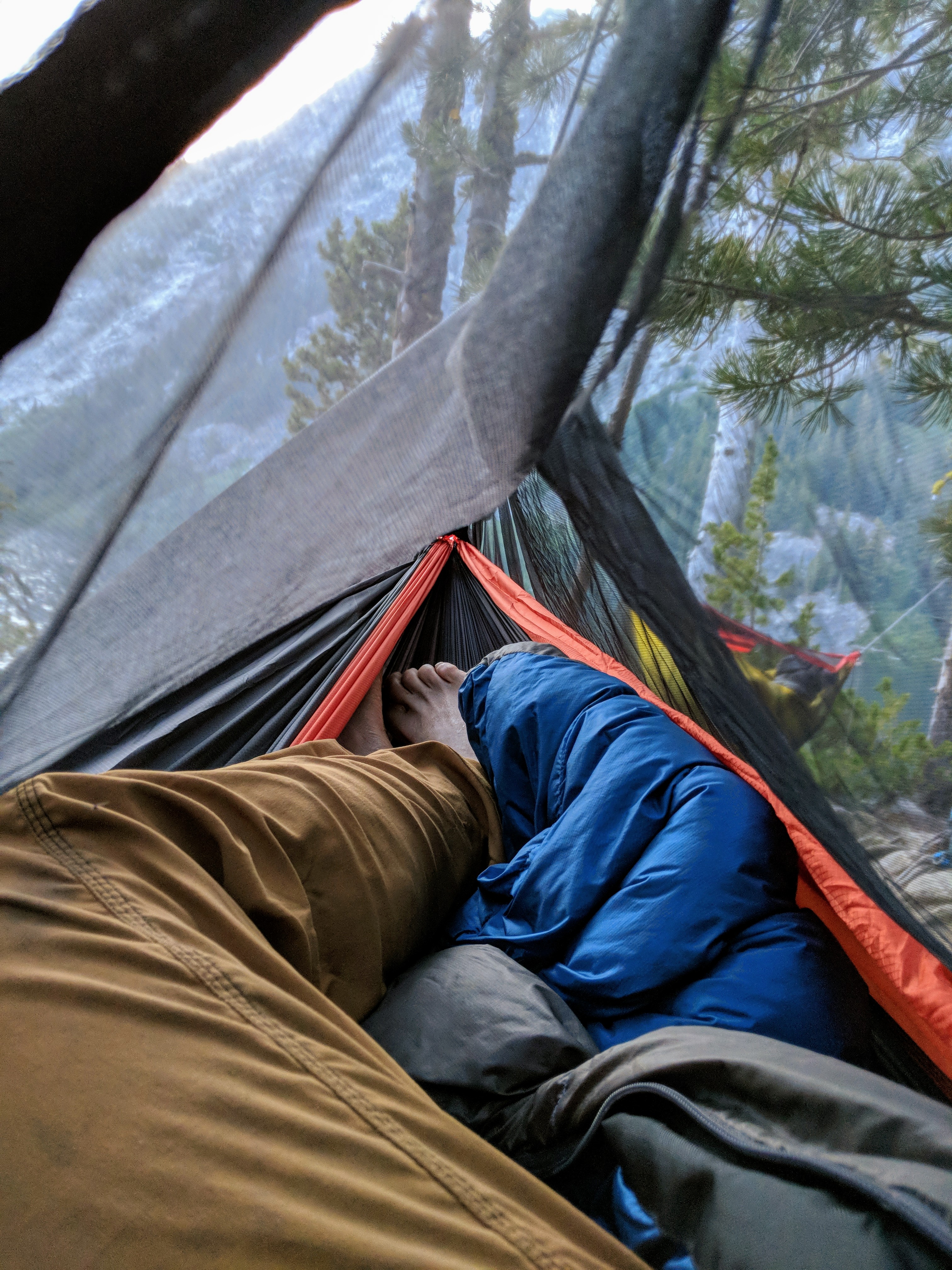
Cozy Hammock Views
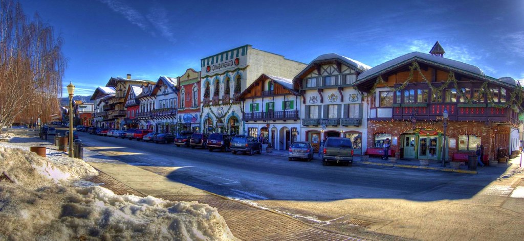
Like Bavaria
Summit Views
Haley against Windswept Mountain
The view from my tent

The Yellow Cycle
View of the Enchantments from Prusik Pass

slide2-27

slide2-09
Icicle Ridge
Icicle Creek Valley
The Temple over Nada Lake at sunset, Snow Lakes Trail, Alpine Lakes Wilderness, Washington
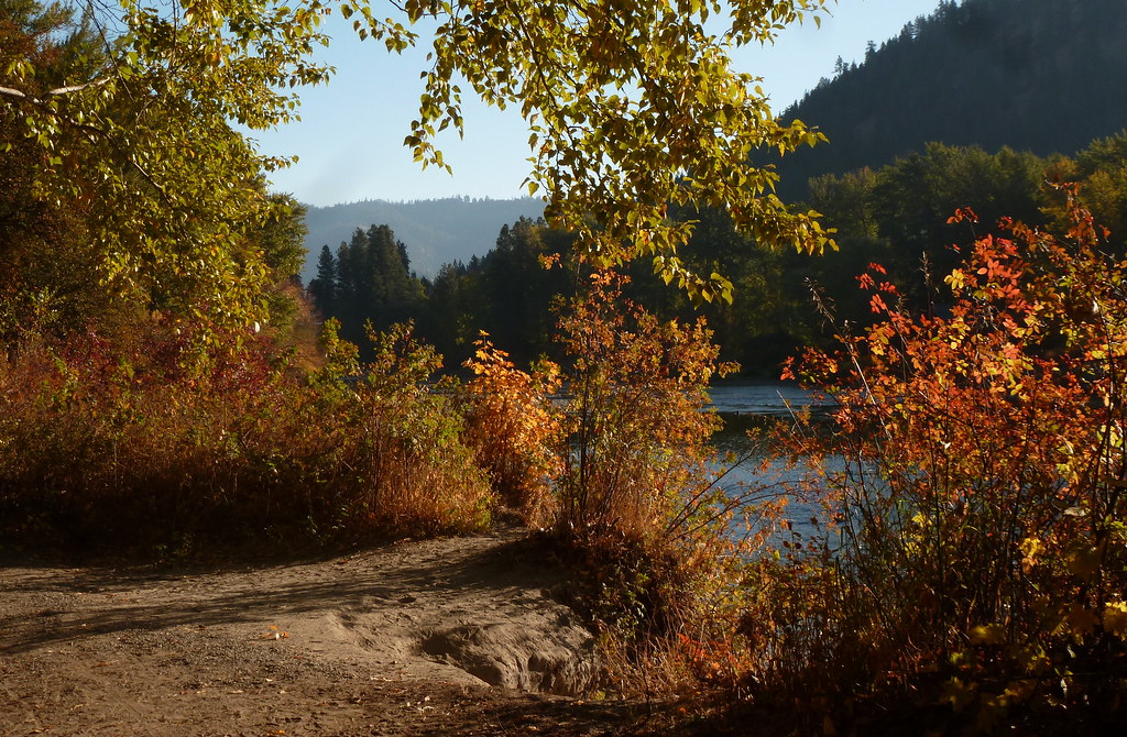
Fall colors

Wenatchee Flow II

Misty Mountain Hop
Around the Bend
Along The Highway
Stacy on pitch 4

Coiling Rope
IMG_1845.jpg
DSC_0030 (1)
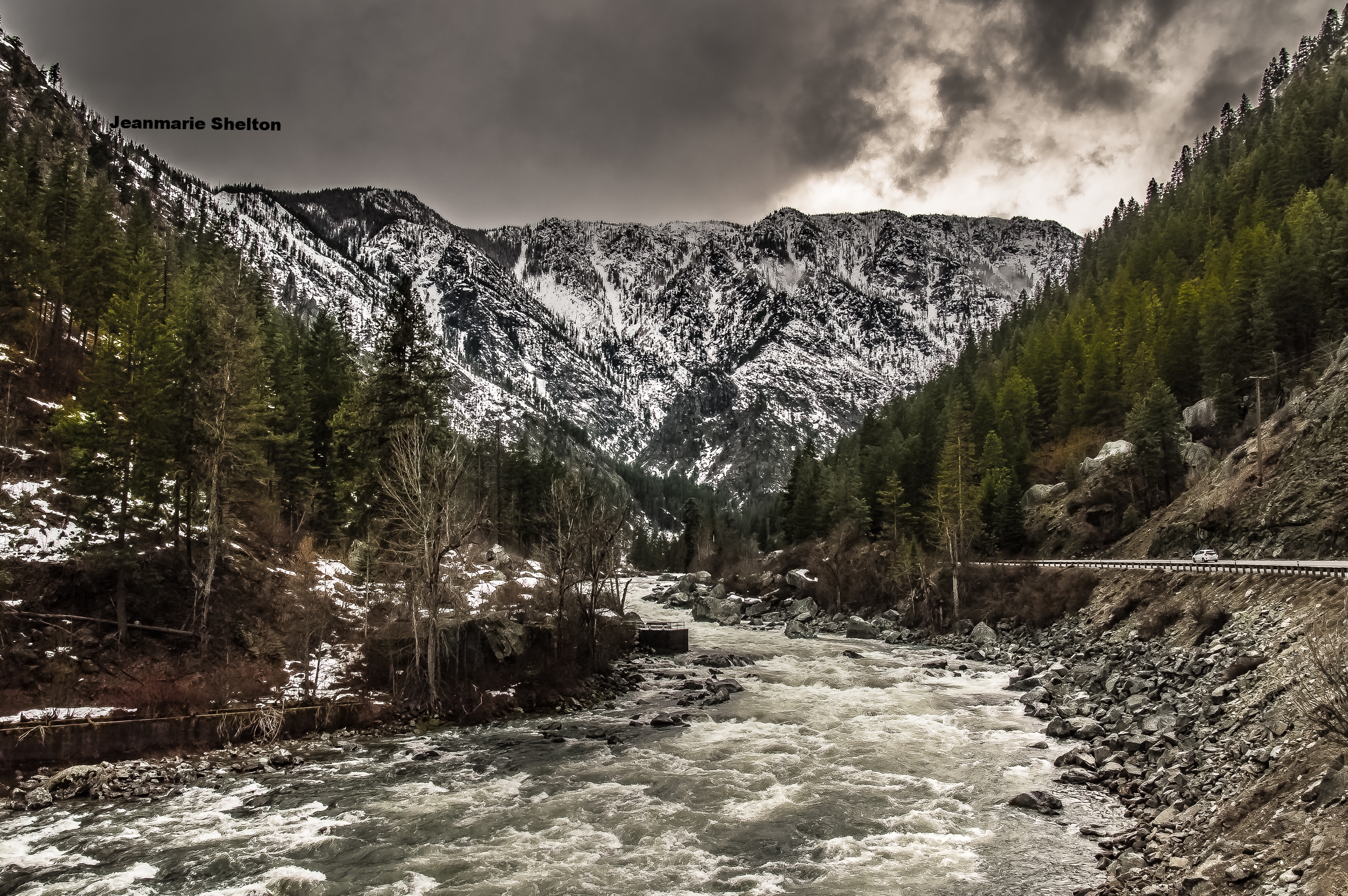
Whenatchee River, near Leavenworth
Gorgeous Lakes in the Core Zone
Shades of blue
From Within
Topographic Map of Beecher Hill Rd, Peshastin, WA, USA
Find elevation by address:

Places near Beecher Hill Rd, Peshastin, WA, USA:
8053 Green Rd
Peshastin
51 Wedge Mountain Estates Rd
10090 Main St
10571 Beecher Hill Rd
Wedge Mountain Winery
8695 Larson Rd
8654 Larson Rd
9494 North Rd
9753 Nibbelink Rd
1174 Dempsey Rd
10699 Fox Rd
9575 E Leavenworth Rd
North Road
9312 E Leavenworth Rd
Sulla Vita
Leavenworth
414 Ash St
10198 Titus Rd
10 Misty Meadow Ln
Recent Searches:
- Elevation of Corso Fratelli Cairoli, 35, Macerata MC, Italy
- Elevation of Tallevast Rd, Sarasota, FL, USA
- Elevation of 4th St E, Sonoma, CA, USA
- Elevation of Black Hollow Rd, Pennsdale, PA, USA
- Elevation of Oakland Ave, Williamsport, PA, USA
- Elevation of Pedrógão Grande, Portugal
- Elevation of Klee Dr, Martinsburg, WV, USA
- Elevation of Via Roma, Pieranica CR, Italy
- Elevation of Tavkvetili Mountain, Georgia
- Elevation of Hartfords Bluff Cir, Mt Pleasant, SC, USA