Elevation of Carrai NSW, Australia
Location: Australia > New South Wales > Armidale Dumaresq Council >
Longitude: 152.223815
Latitude: -30.827666
Elevation: 918m / 3012feet
Barometric Pressure: 91KPa
Elevation Map:
Satellite Map:
Related Photos:

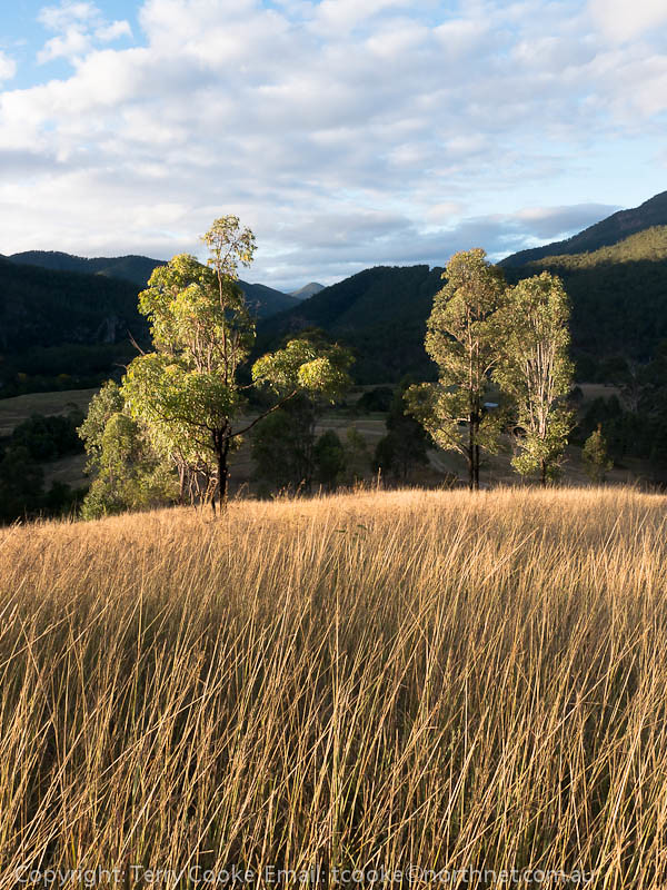
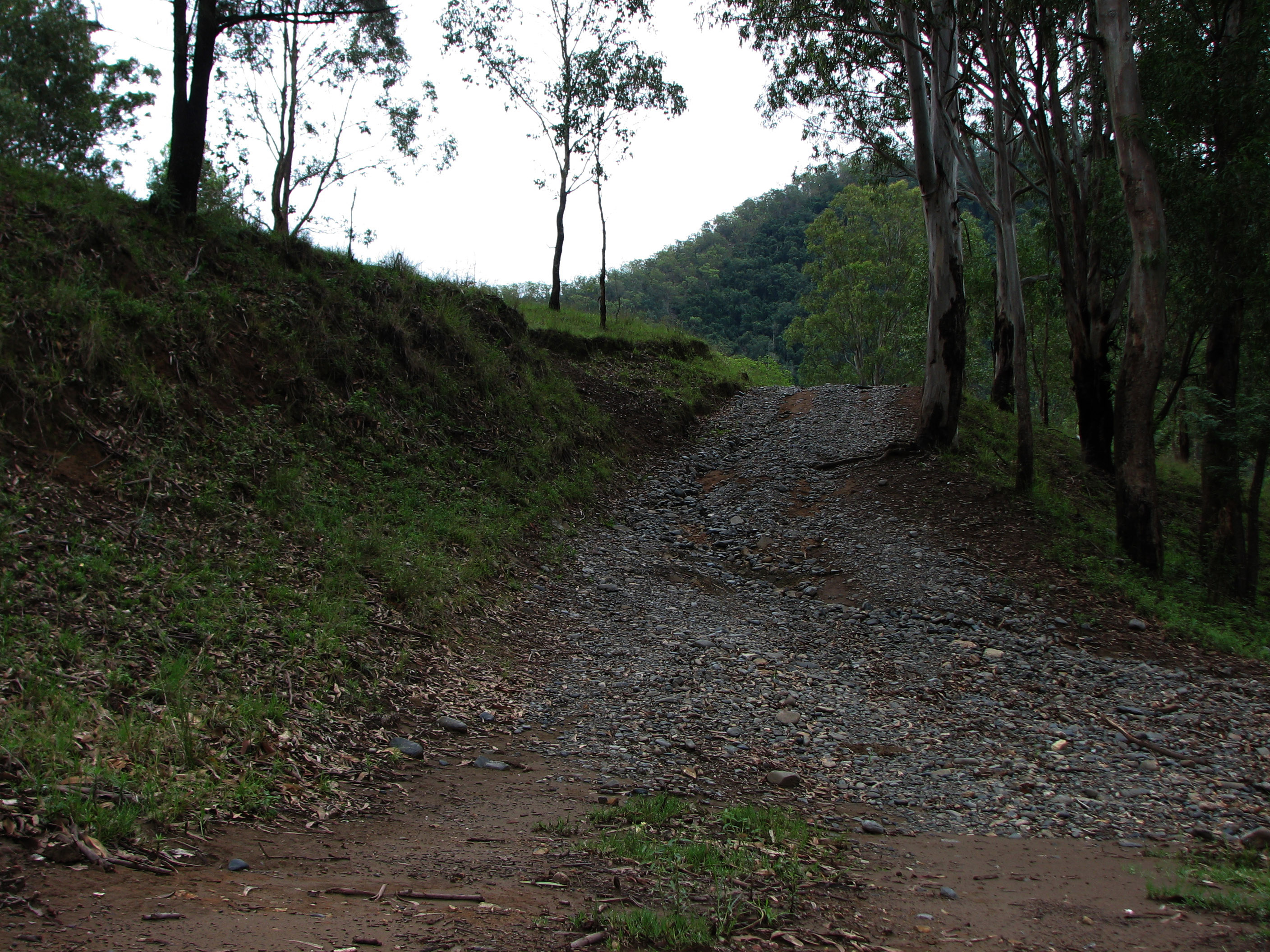
Armidale-Kempsey Road_02

Armidale-Kempsey Road_01

Armidale-Kempsey Road_06
130512_0234EastKunderangL.jpg
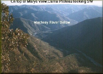
marys view

Armidale-Kempsey Road_04
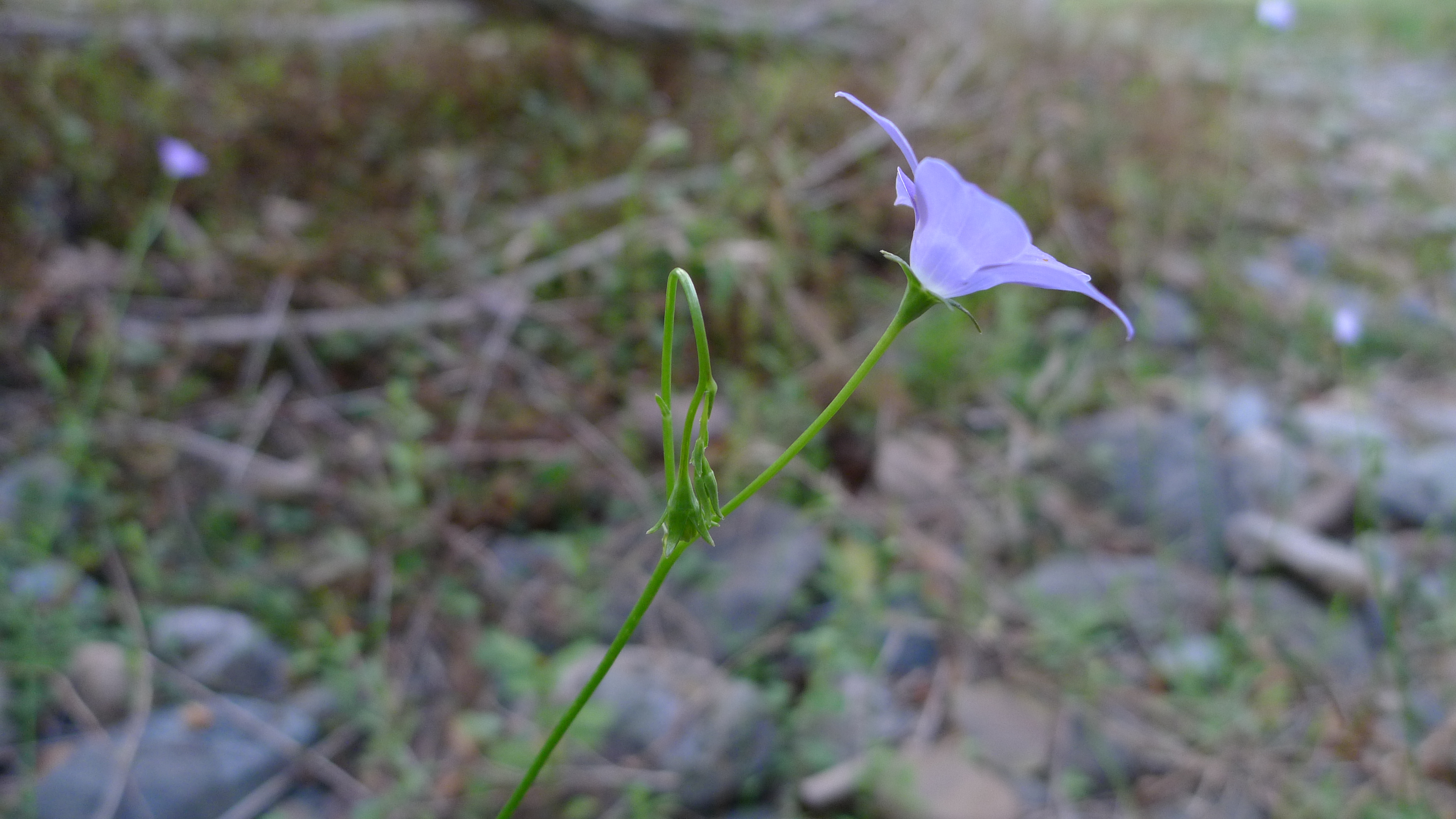
bluebell lateral

Armidale-Kempsey Road_05

Armidale-Kempsey Road_10

Armidale-Kempsey Road_08

Armidale-Kempsey Road_09
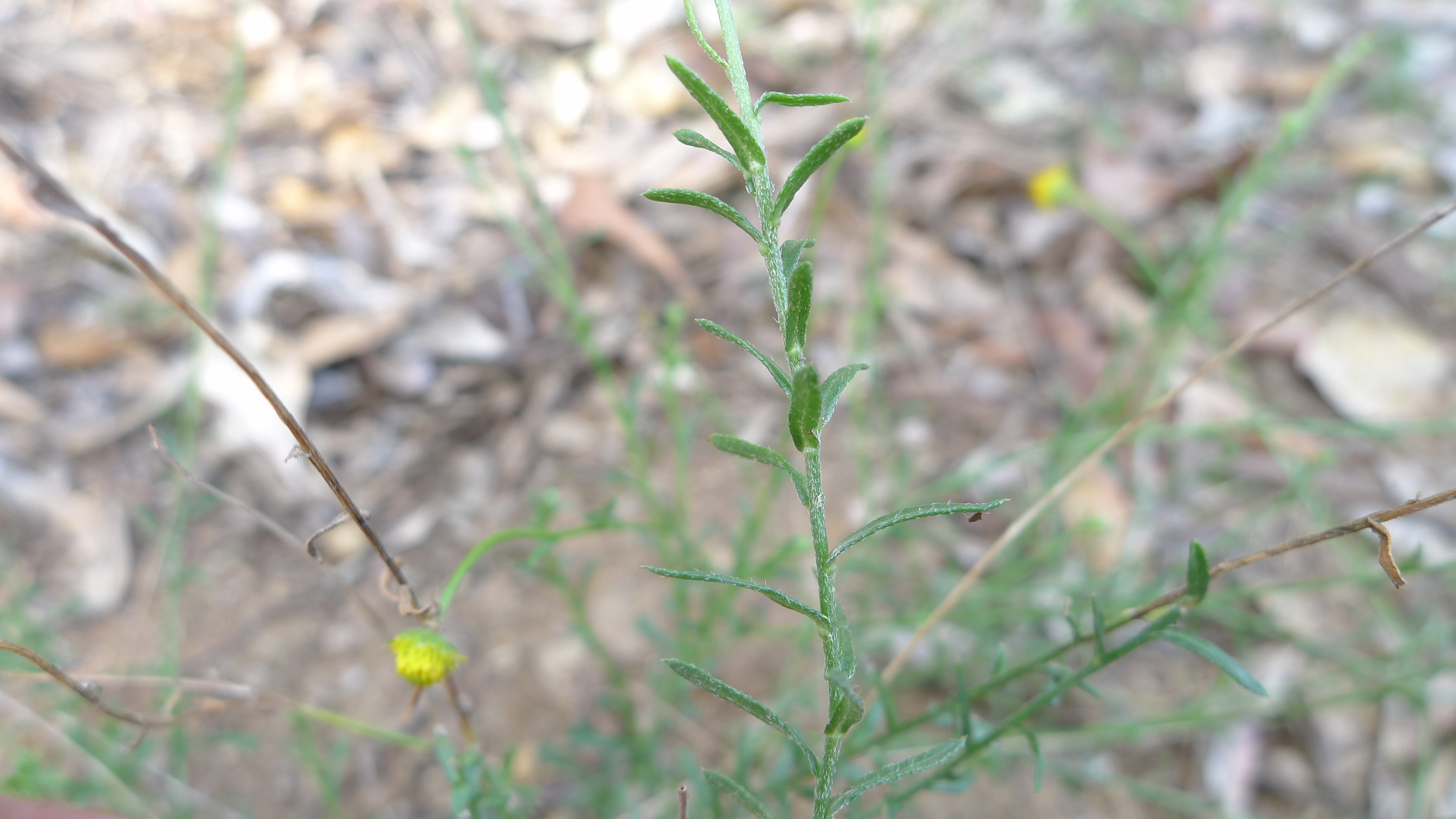
daisy leaves
Sida leaves
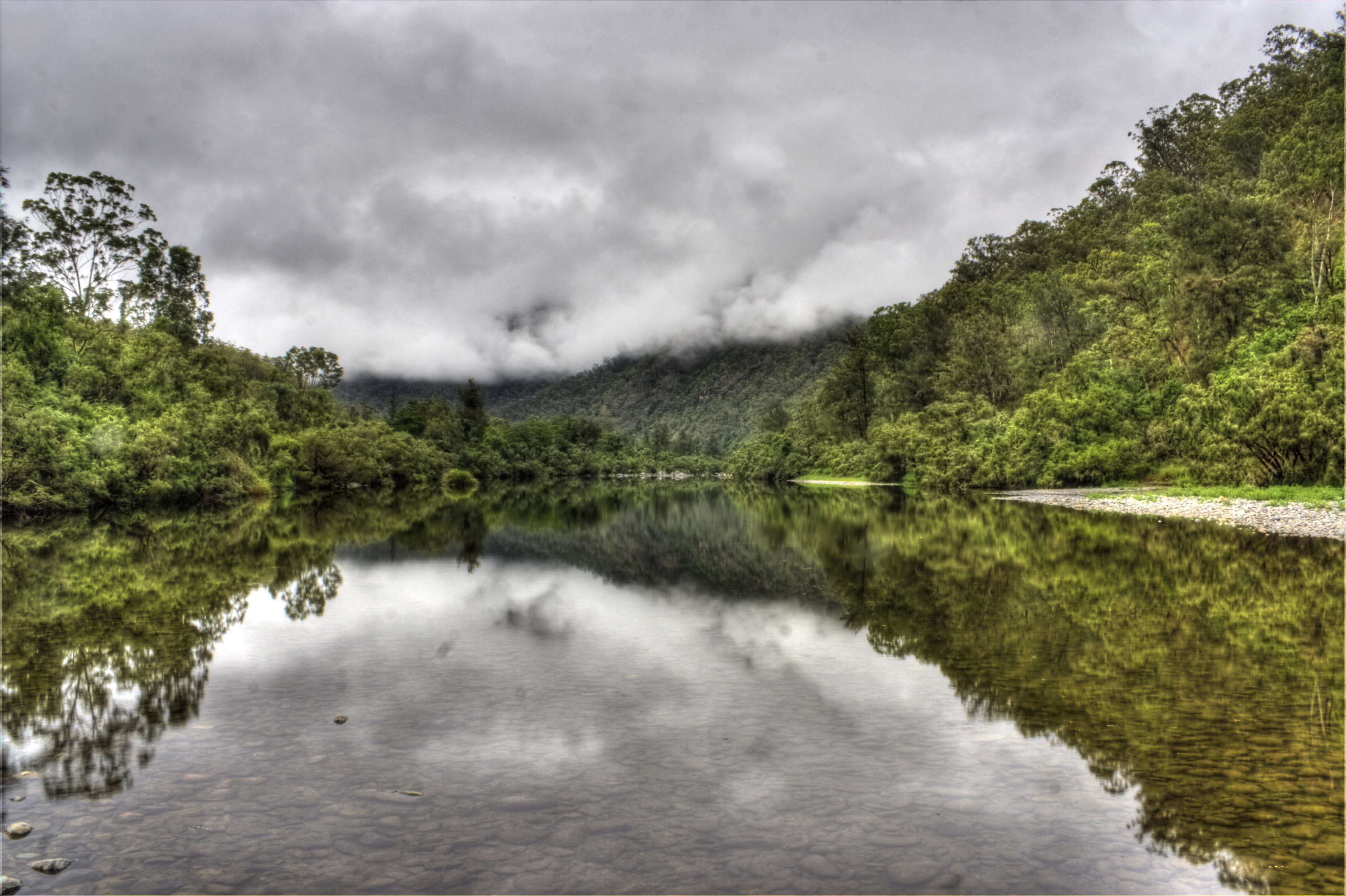
Macleay River
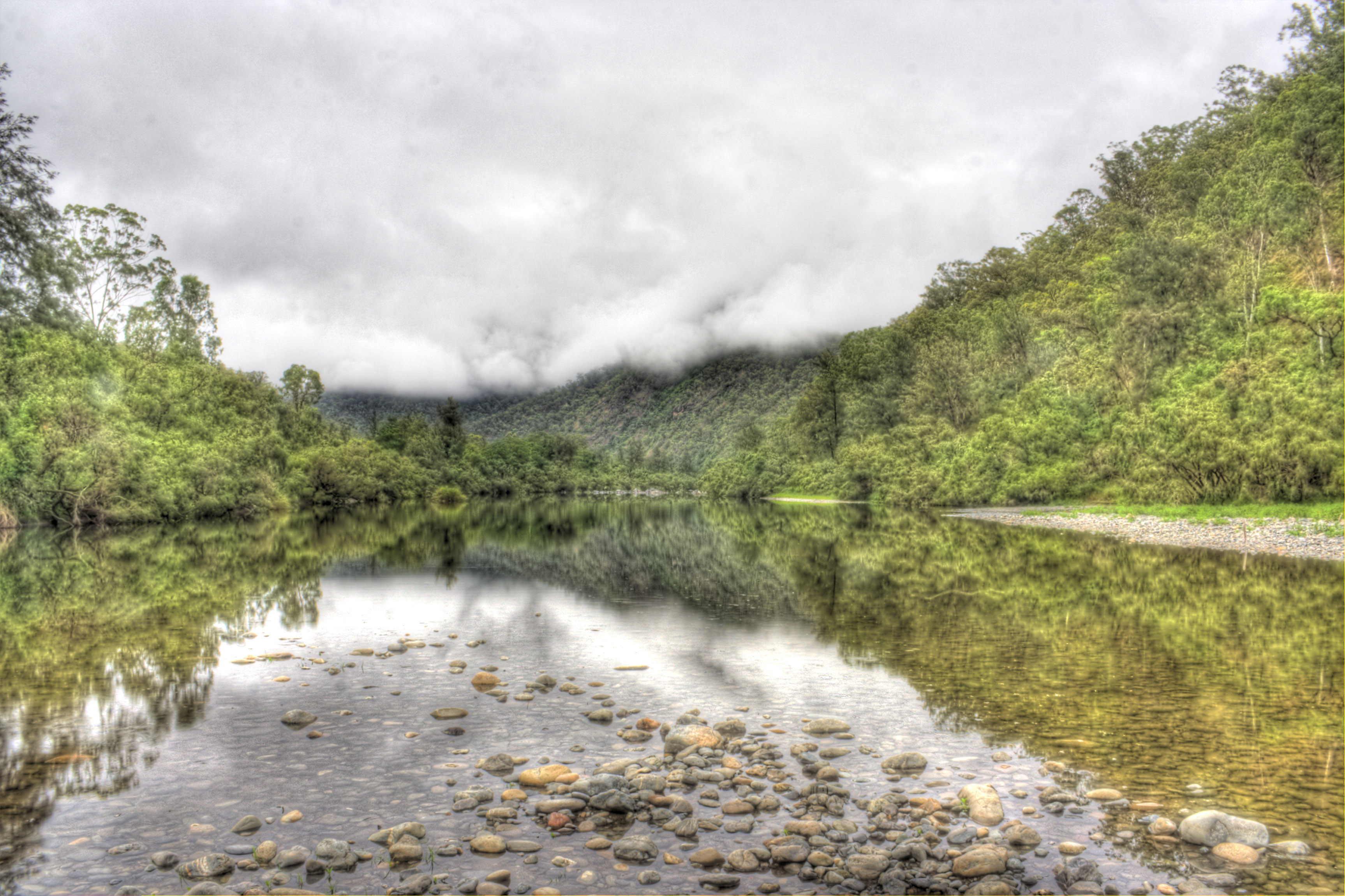
Macleay River
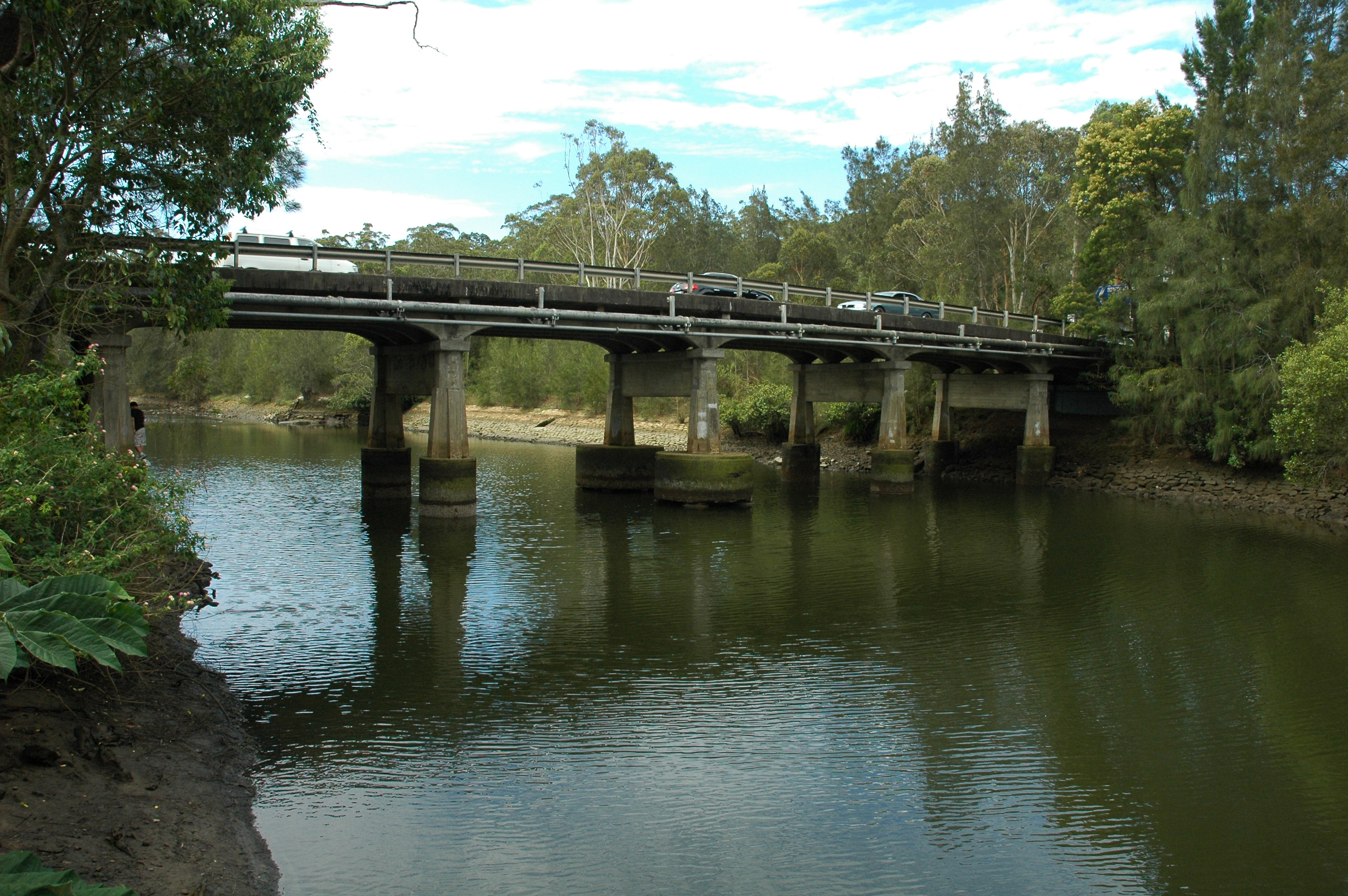
Fullers Bridge, Lane Cove River, Sydney
National Trail
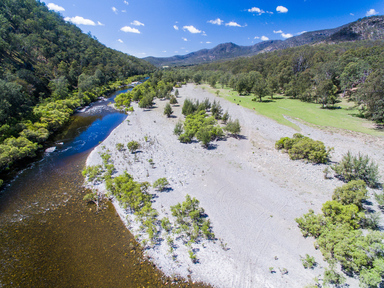
Macleay River
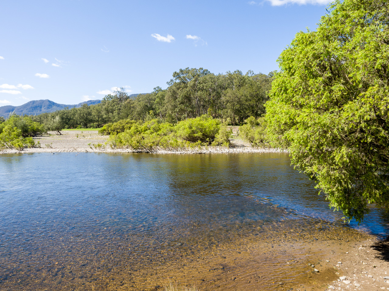
Macleay River crossing
Topographic Map of Carrai NSW, Australia
Find elevation by address:

Places near Carrai NSW, Australia:
4580 Armidale Rd
Bellbrook
Homewood
Armidale Dumaresq Council
Burrapine
Millbank
Ebor
Upper Taylors Arm
Medlow Public School
Bakers Creek
521 Greenhills Rd
Thalgarrah
302 Mchughs Creek Rd
Nambucca Shire Council
Armidale Regional Council
Kalang Road
Fernbrook
Chrysalis School
Tyringham
Missabotti
Recent Searches:
- Elevation of Corso Fratelli Cairoli, 35, Macerata MC, Italy
- Elevation of Tallevast Rd, Sarasota, FL, USA
- Elevation of 4th St E, Sonoma, CA, USA
- Elevation of Black Hollow Rd, Pennsdale, PA, USA
- Elevation of Oakland Ave, Williamsport, PA, USA
- Elevation of Pedrógão Grande, Portugal
- Elevation of Klee Dr, Martinsburg, WV, USA
- Elevation of Via Roma, Pieranica CR, Italy
- Elevation of Tavkvetili Mountain, Georgia
- Elevation of Hartfords Bluff Cir, Mt Pleasant, SC, USA