Elevation of Butte Falls, OR, USA
Location: United States > Oregon > Jackson County >
Longitude: -122.56558
Latitude: 42.5431843
Elevation: 774m / 2539feet
Barometric Pressure: 92KPa
Elevation Map:
Satellite Map:
Related Photos:
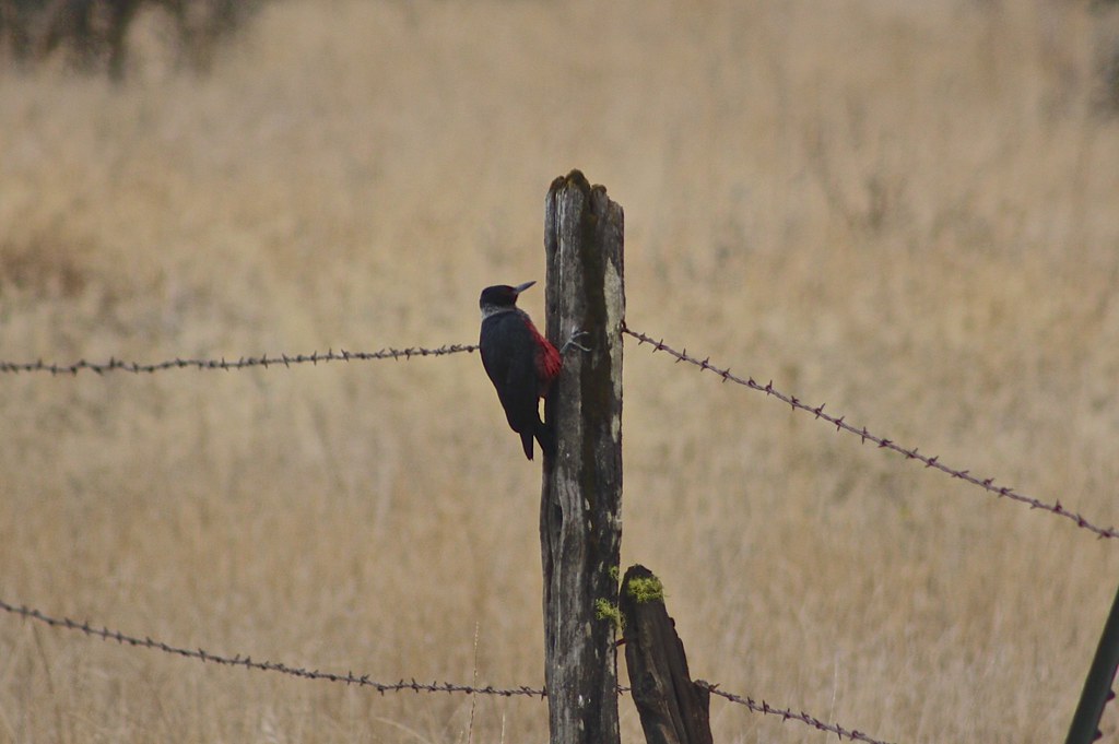
Lewis's Woodpecker (Melanerpes lewis)

Barred Owl (Strix varia)

Wasson Canyon Rock
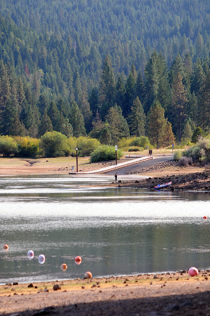
View of the lake

Salt Creek Rd View

the biggest stick she could find

Crowfoot Falls

Fishing with the Grandkids

Flossin' for Chinook

Driftin'

Butte Falls, Oregon

Found!

The Lake

Upper Clark Creek Falls

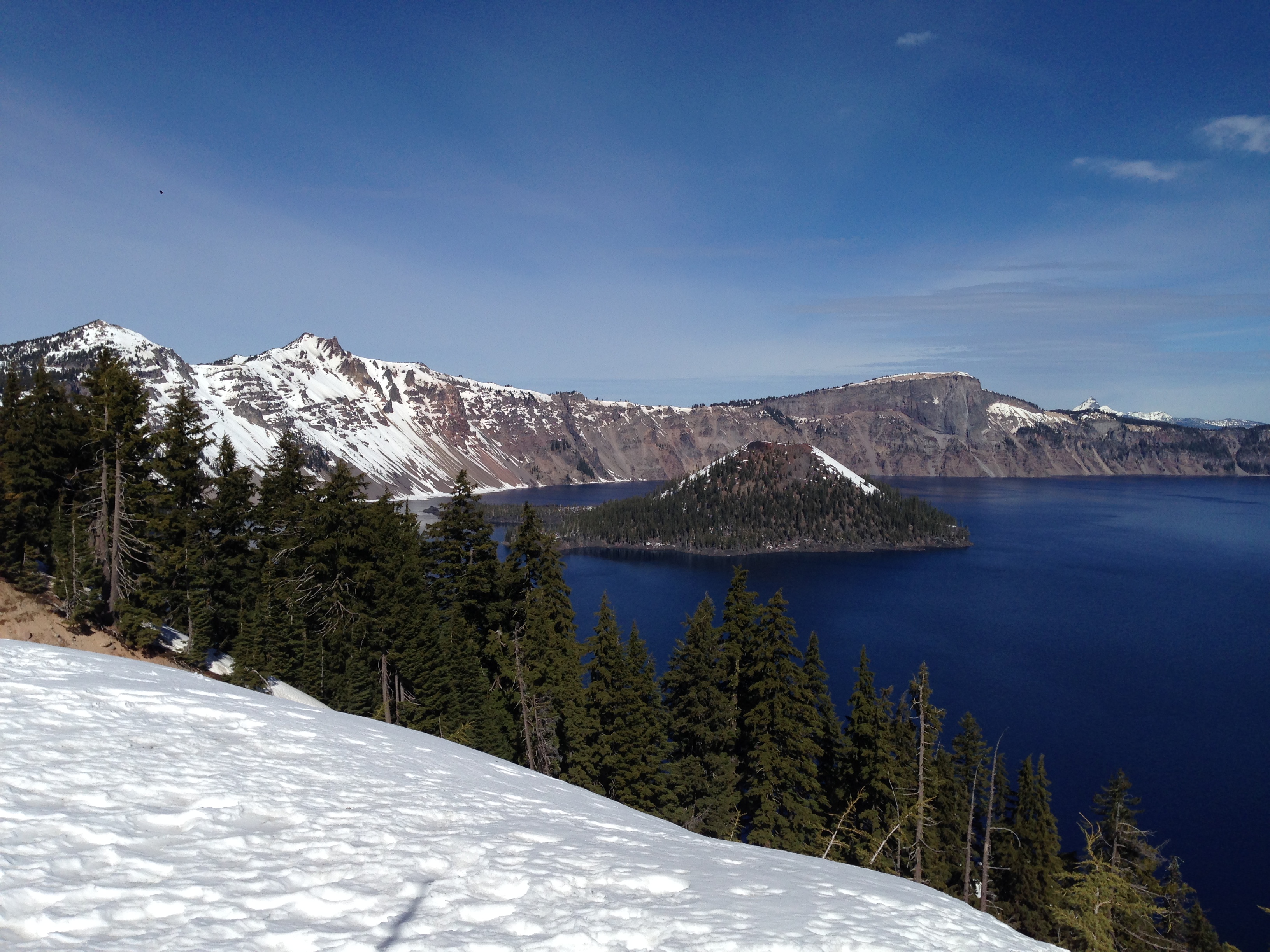
Wizard Island in Crater Lake

Lost Creek Marina

Willow Lake

Class of 66 Campout at Willow Lake

Willow Lake

Willow Lake
Willow Lake

Willow Lake

Grant's Pass
Topographic Map of Butte Falls, OR, USA
Find elevation by address:

Places near Butte Falls, OR, USA:
13210 Butte Falls Hwy
13201 Butte Falls Hwy
13201 Butte Falls Hwy
2871 Cobleigh Rd
Willow Lake County Park
S Fork Little Butte Creek Rd, Eagle Point, OR, USA
South Obenchain Road
800 Crowfoot Rd
Joseph Stewart State Recreation Area
Takelma Dr, Trail, OR, USA
Heppsie Mountain
2345 Brownsboro Meridian Rd
10440 S Fork Little Butte Creek Rd
9530 S Fork Little Butte Creek Rd
3055 Butte Falls Hwy
3055 Butte Falls Hwy
2387 Brophy Rd
2373 Brownsboro-eagle Point Hwy
900 Ayres Rd
46001 Or-62
Recent Searches:
- Elevation of Corso Fratelli Cairoli, 35, Macerata MC, Italy
- Elevation of Tallevast Rd, Sarasota, FL, USA
- Elevation of 4th St E, Sonoma, CA, USA
- Elevation of Black Hollow Rd, Pennsdale, PA, USA
- Elevation of Oakland Ave, Williamsport, PA, USA
- Elevation of Pedrógão Grande, Portugal
- Elevation of Klee Dr, Martinsburg, WV, USA
- Elevation of Via Roma, Pieranica CR, Italy
- Elevation of Tavkvetili Mountain, Georgia
- Elevation of Hartfords Bluff Cir, Mt Pleasant, SC, USA