Elevation of Butte Falls Hwy, Eagle Point, OR, USA
Location: United States > Oregon > Eagle Point >
Longitude: -122.75971
Latitude: 42.5390176
Elevation: 464m / 1522feet
Barometric Pressure: 96KPa
Elevation Map:
Satellite Map:
Related Photos:

OR 140 Roundabout_birdseye view looking north left

Oregon140 Roundabout_June3_2020
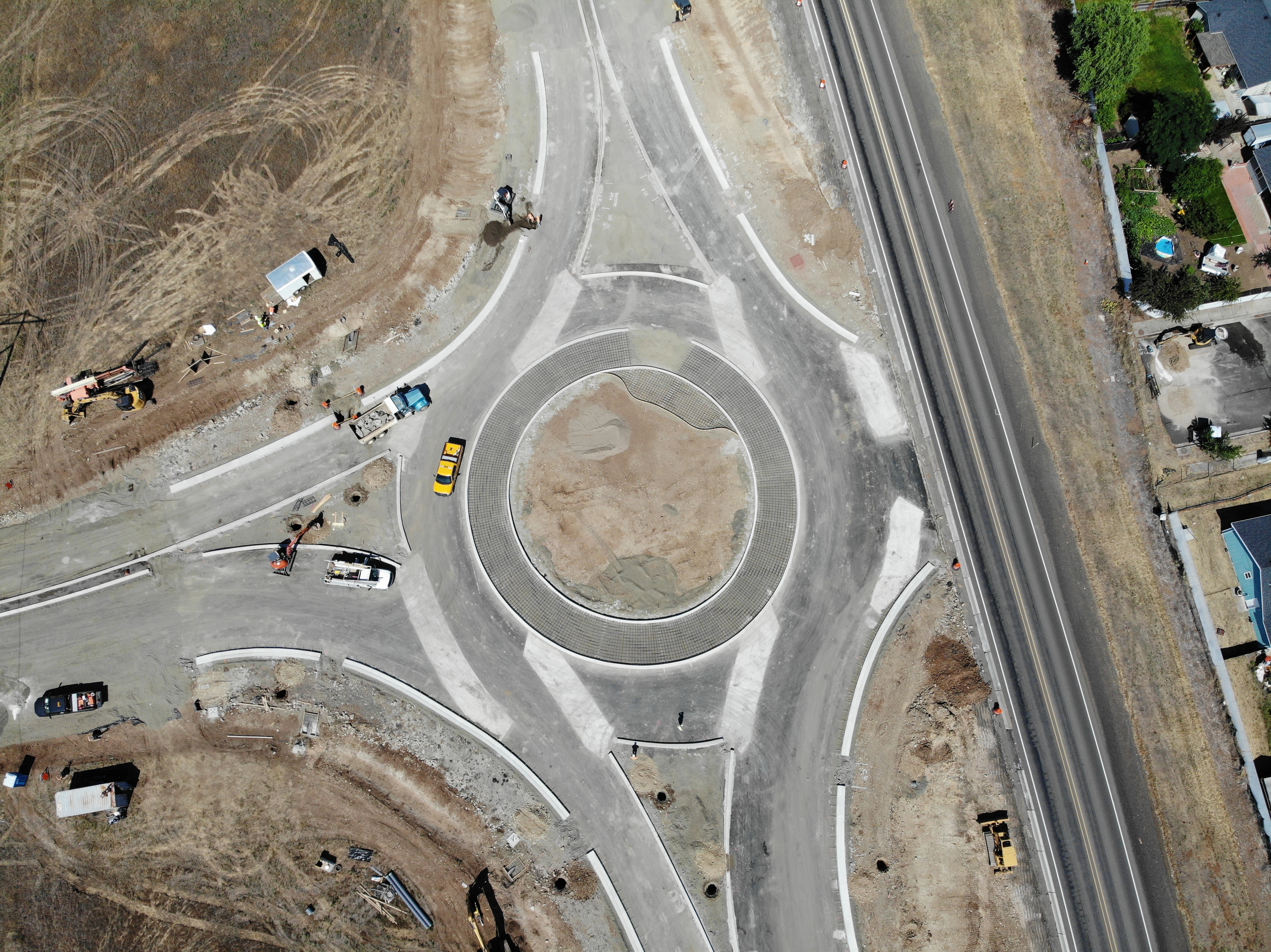
OR140 Roundabout birdseye view_north right

OR 140 roundabout June 3, 2020

Barrow's Goldeneye (Bucephala islandica)

View of Medford Oregon from Upper Table Rock, looking South.

Love the view up here.

Hermit Thrush (Catharus guttatus)

View from White City OR Motel of Mt McLoughlin
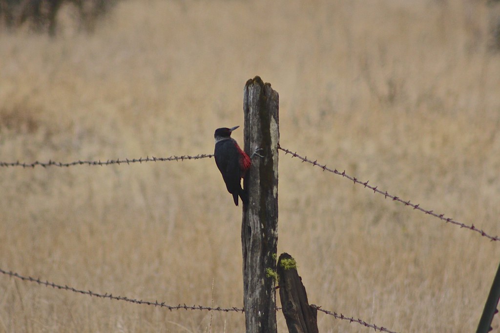
Lewis's Woodpecker (Melanerpes lewis)

View from White City OR Motel

Barred Owl (Strix varia)
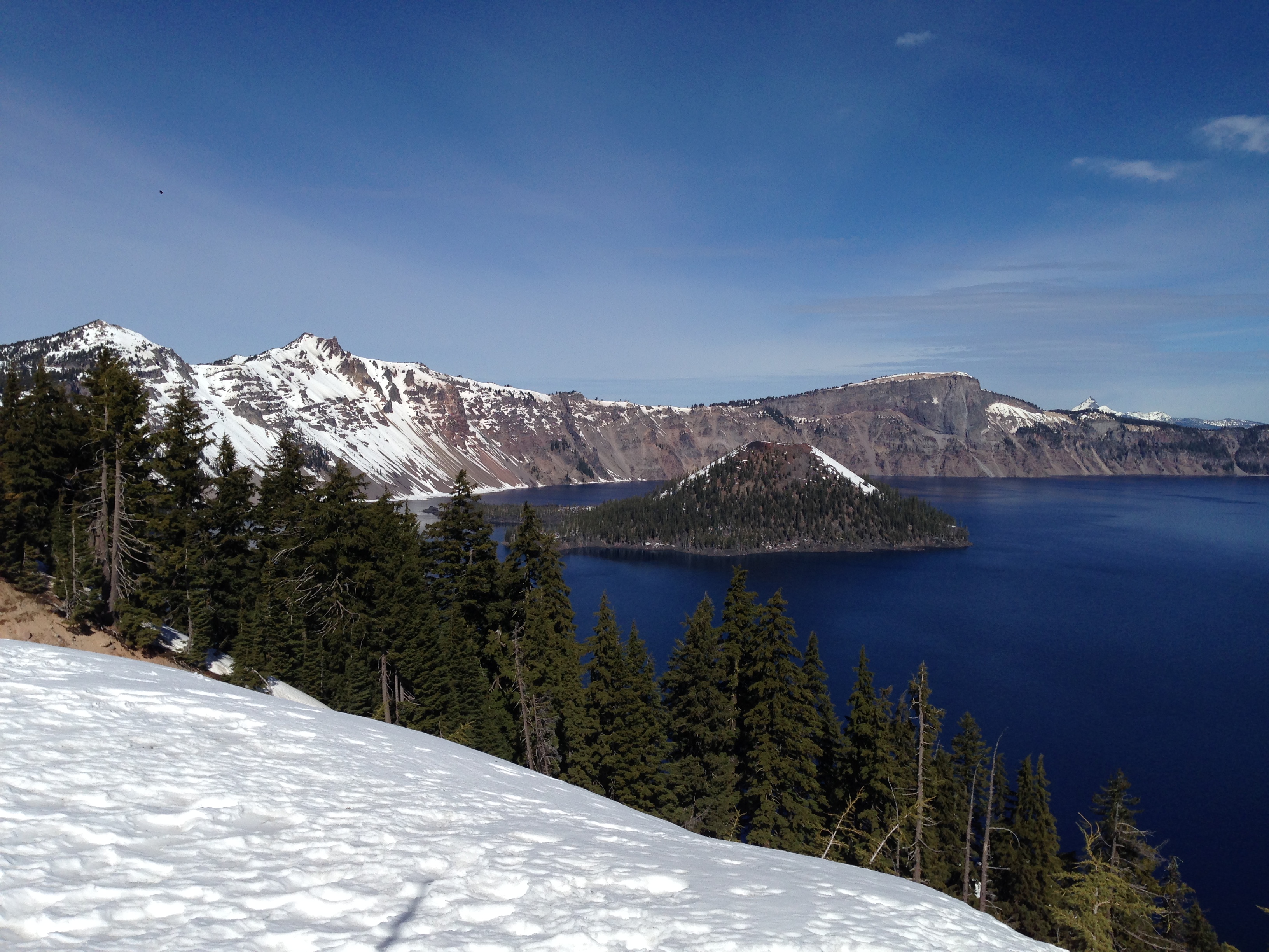
View of the lake

Salt Creek Rd View

View from Tablerock

I love the view from my house! ????

Roundup: JB Dimick readies cows and calves for new pasture. Eagle Point, Oregon 5:14 p.m. 5/11/16
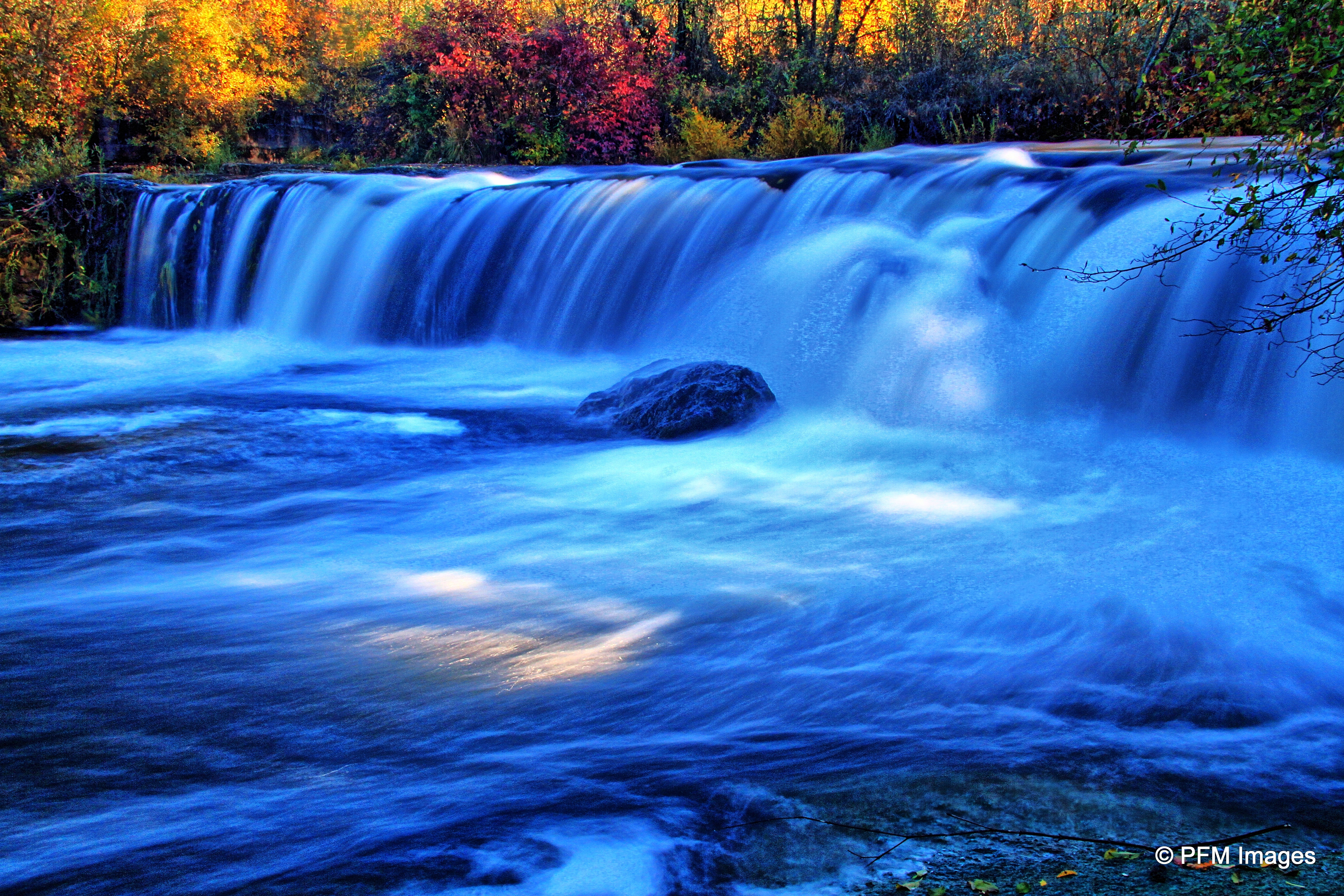
Crowfoot Falls

Mount McLoughlin

Hiking Upper Table Rock

Hiking Upper Table Rock

Eagle Point, Oregon

Hiking Upper Table Rock

Hiking Upper Table Rock

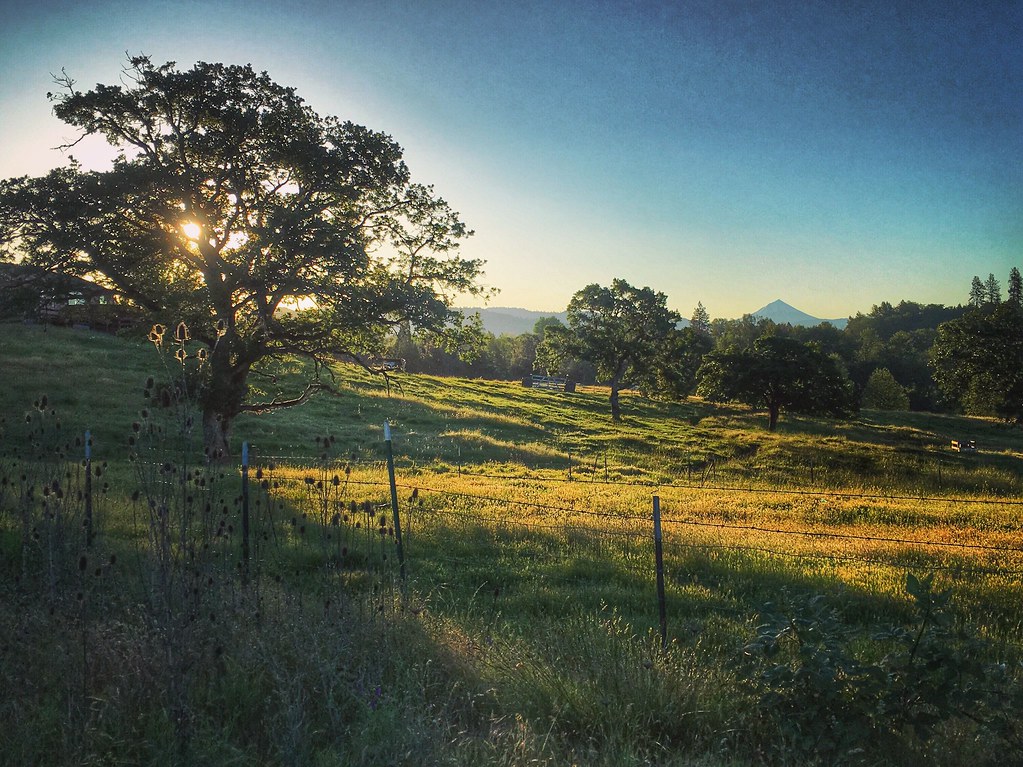
Golden Hue

Fishermen launching a boat on the Rouge River

Rogue Valley Oregon
Southern Cascade Range volcano Mount McLoughlin from Eagle Point, Oregon 6:38 a.m. 5/11/16

sentinel of wide open spaces
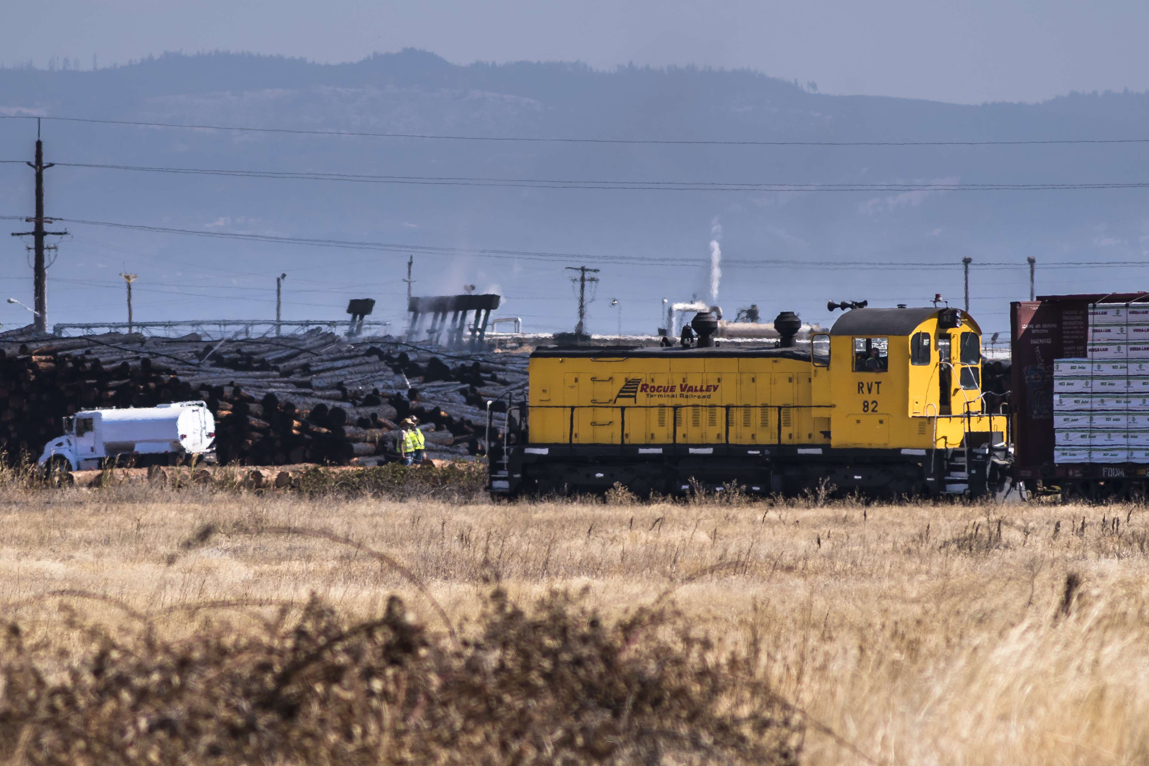
Rogue Valley Terminal

Rogue River and Valley from Table Rock

Rogue River Valley, Eagle Point Oregon 8:01 p.m. 5/13/16

Rogue Valley Roadside, Eagle Point Oregon 5:51 a.m. 5/13/16

pill-box_pan

Pill Box trainers
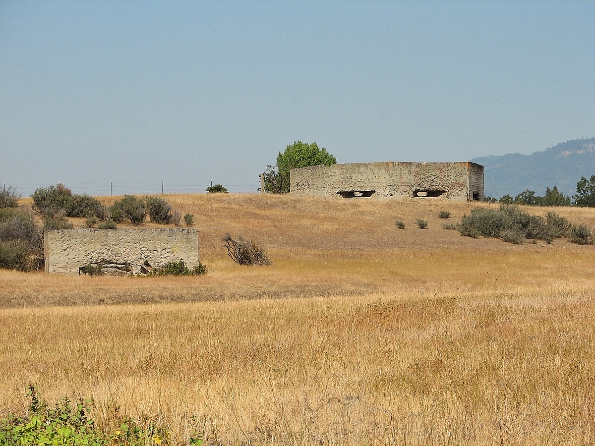
pill-box 008f
Topographic Map of Butte Falls Hwy, Eagle Point, OR, USA
Find elevation by address:

Places near Butte Falls Hwy, Eagle Point, OR, USA:
3055 Butte Falls Hwy
2387 Brophy Rd
50 Butte Falls Hwy
2373 Brownsboro-eagle Point Hwy
900 Ayres Rd
1404 Brownsboro-eagle Point Hwy
251 Northview Dr
979 Win Way
633 E Archwood Dr
Eagle Point High School
2345 Brownsboro Meridian Rd
1008 Lexington Dr
Eagle Point
Bellerive Drive
1068 Coral Ridge
246 Prairie Landing Dr
227 Princeville Dr
288 Princeville Dr
3600 Ave G
White City
Recent Searches:
- Elevation of Corso Fratelli Cairoli, 35, Macerata MC, Italy
- Elevation of Tallevast Rd, Sarasota, FL, USA
- Elevation of 4th St E, Sonoma, CA, USA
- Elevation of Black Hollow Rd, Pennsdale, PA, USA
- Elevation of Oakland Ave, Williamsport, PA, USA
- Elevation of Pedrógão Grande, Portugal
- Elevation of Klee Dr, Martinsburg, WV, USA
- Elevation of Via Roma, Pieranica CR, Italy
- Elevation of Tavkvetili Mountain, Georgia
- Elevation of Hartfords Bluff Cir, Mt Pleasant, SC, USA