Elevation of Brownsboro Meridian Rd, Eagle Point, OR, USA

Location: United States > Oregon > Eagle Point >

Longitude: -122.73119

Latitude: 42.466586

Elevation: -10000m / -32808feet

Barometric Pressure: 295KPa

Elevation Map:

elevation map of Brownsboro Meridian Rd, Eagle Point, OR, USA

Satellite Map:

Satellite map of Brownsboro Meridian Rd, Eagle Point, OR, USA

Related Photos:

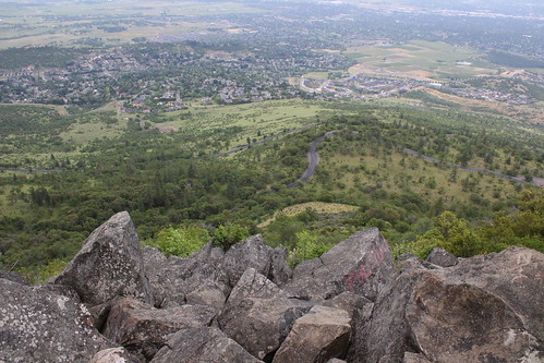
roxy ann peak prescott park medford bear creek valley ashland oregon hiking
The view from Roxy Ann Peak's summit
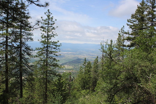
roxy ann peak prescott park medford bear creek valley ashland oregon hiking
Partial view on the way down
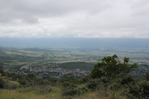
roxy ann peak prescott park medford bear creek valley ashland oregon hiking
Southeast Medford dominated the view
I love the view from my house! ????
winter usa oregon america sunrise portland or indian portlandoregon vistapoint sunriseinwinter myaphotography
Sunrise from the Columbia river gorge
trees sky usa lake mountains water clouds oregon unitedstates scenic whitecity dyke medford southernoregon jacksoncounty
View of Medford Oregon from Upper Table Rock, looking South.
roxy ann peak prescott park medford bear creek valley ashland oregon hiking
We had a great view of Bear Creek Valley
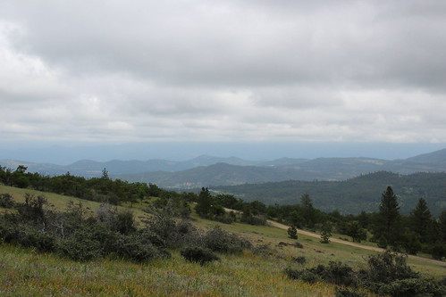
roxy ann peak prescott park medford bear creek valley ashland oregon hiking
Clouds took away the mountain views
roxy ann peak prescott park medford bear creek valley ashland oregon hiking
View towards the Cascades
roxy ann peak prescott park medford bear creek valley ashland oregon hiking
View to south Medford
roxy ann peak prescott park medford bear creek valley ashland oregon hiking
Summit view panorama
usa oregon america nationalpark craterlake 美國 國家公園 俄勒岡州
View of the lake
oregon airplane airport aircraft terminal airline medford mfr unitedexpress medfordjacksoncountyairport
MFR14JUL92 02
oregon or jacksoncounty lewisswoodpecker melanerpeslewis
Lewis's Woodpecker (Melanerpes lewis)
foot shoe pavement undercar ds452 ridiculouslyhandsomeleg
DAY 41/365: Shank's Pony
View from White City OR Motel of Mt McLoughlin
5095 analog asa100 canon canoscan canoscan9000fmarkii colornegative ef35105mmf3545 eos eos620 explore explored film ga goldplus100 iso100 kodacolorvrgold100 kodak processc41 scanned standardbase unitedstates usa centralpoint geo:lat=4245315336 geo:lon=12290170389 geotagged oregon tablerock 9000f esplora renown pretty photo pic
Mount McLoughlin
abandoned
Logging Equipment 4
roxy ann peak prescott park medford bear creek valley ashland oregon hiking
Coral Rae explores the summit
roxy ann peak prescott park medford bear creek valley ashland oregon hiking
Daweson puts a bench to use
medfordcorprvtr whitecity rvtr sw1200 emd diesel centerbeam lumber mill spur siding corp switcher
Rogue Valley Terminal
Hiking Upper Table Rock
sky clouds landscape day snag lowertablerock pwpartlycloudy
sentinel of wide open spaces
sunset hdr tablerock
Golden Hue
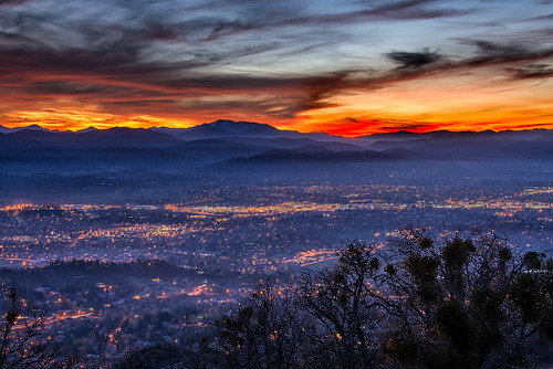
sunset oregon lowlight citylights medford nikond800 nikon28300mm roxyanndrive
Medford lights from Roxy Ann Drive
clouds landscape or roads oregonroad echoffman echoffmaniii
Oregon Road
N75435 United Airlines Boeing 737-900 (Continental Retro livery)
uploaded:by=flickrmobile flickriosapp:filter=nofilter rogueumpquanationalscenicbyway
Rogue River at the Natural Bridge.
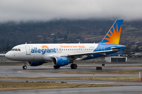
N302NV Allegiant Air Airbus A319
teasels
Teasels at Dusk
test konica 128 38mm hexanon c35
konica_c35B-03
N260SY Delta Connection Embraer ERJ-175