Elevation of S Fork Little Butte Creek Rd, Eagle Point, OR, USA
Location: United States > Oregon > Eagle Point >
Longitude: -122.62304
Latitude: 42.4211401
Elevation: 496m / 1627feet
Barometric Pressure: 96KPa
Elevation Map:
Satellite Map:
Related Photos:
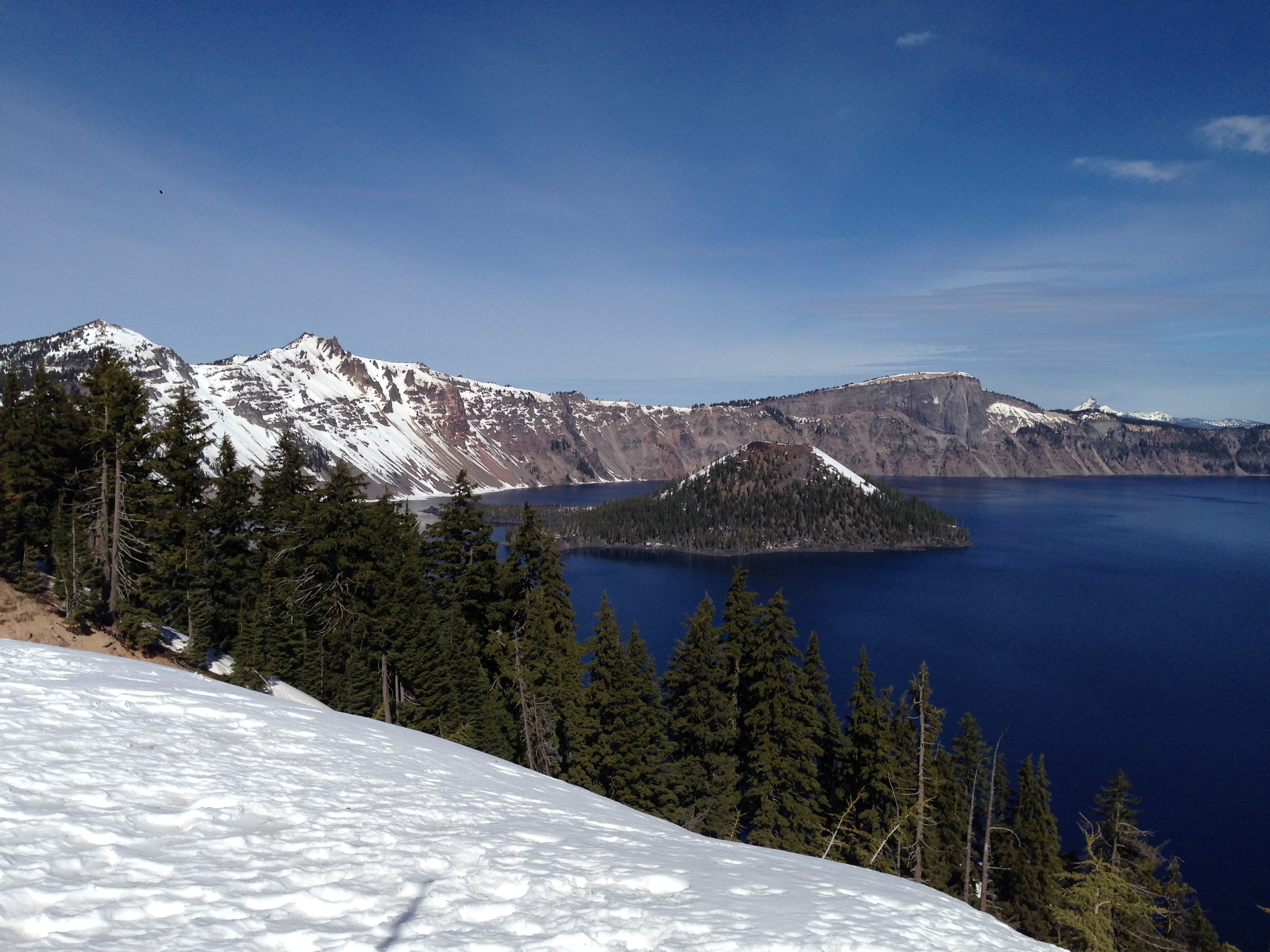
View of the lake
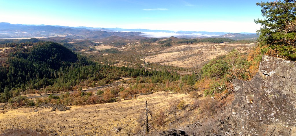
Salt Creek Rd View
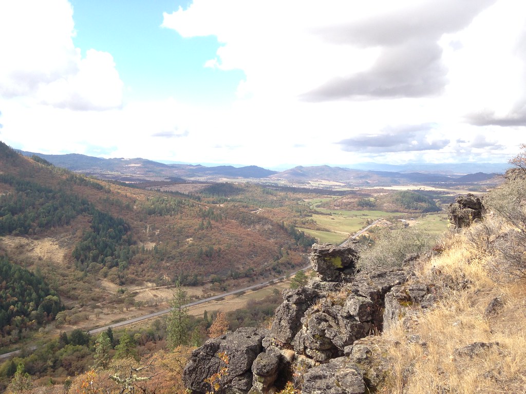
Wasson Canyon Rock

Lewis's Woodpecker (Melanerpes lewis)

Medford lights from Roxy Ann Drive

Horses in Pasture Yellow Flowers and Creek 12
Fishing with the Grandkids

Butte Falls, Oregon
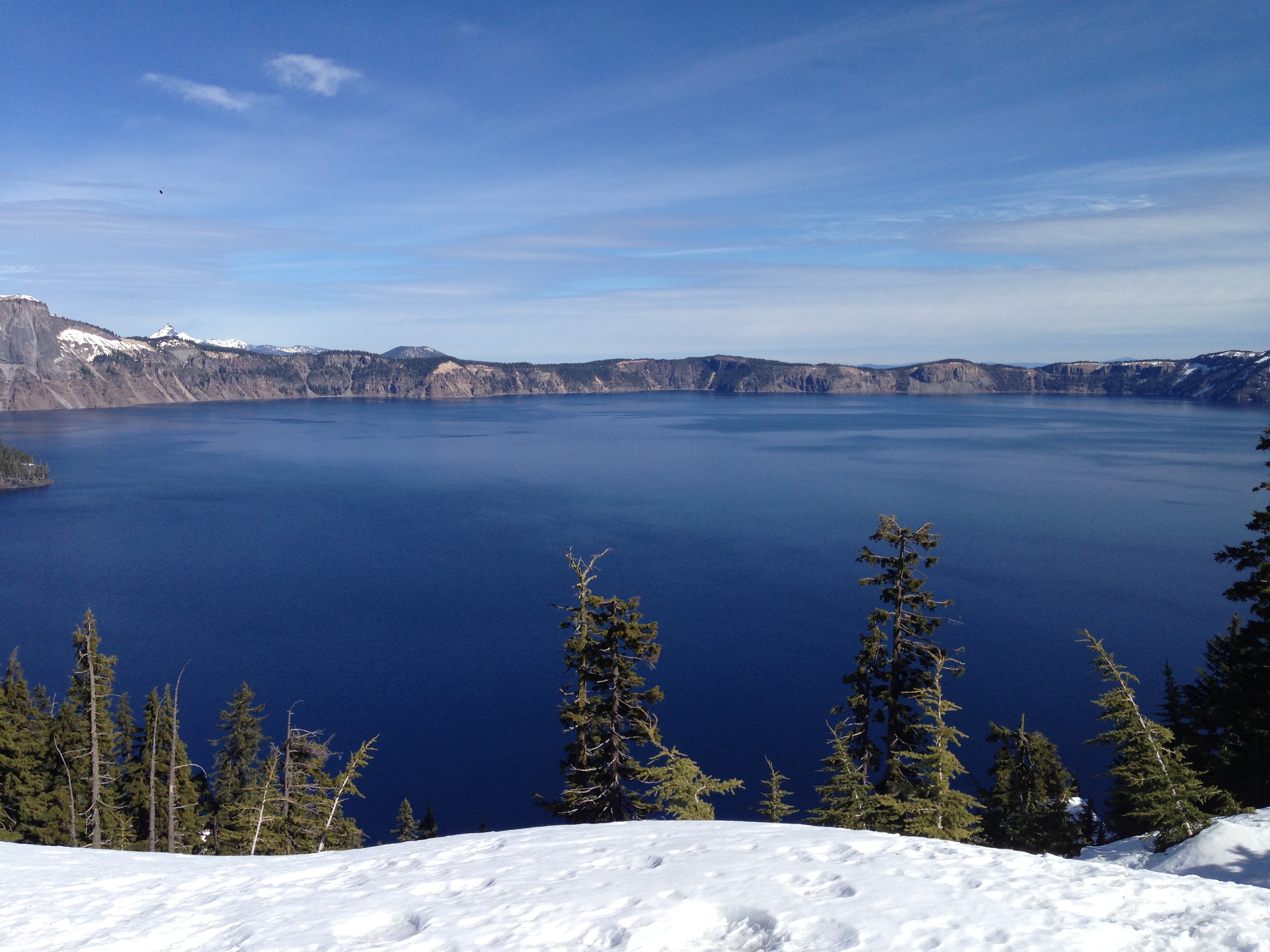
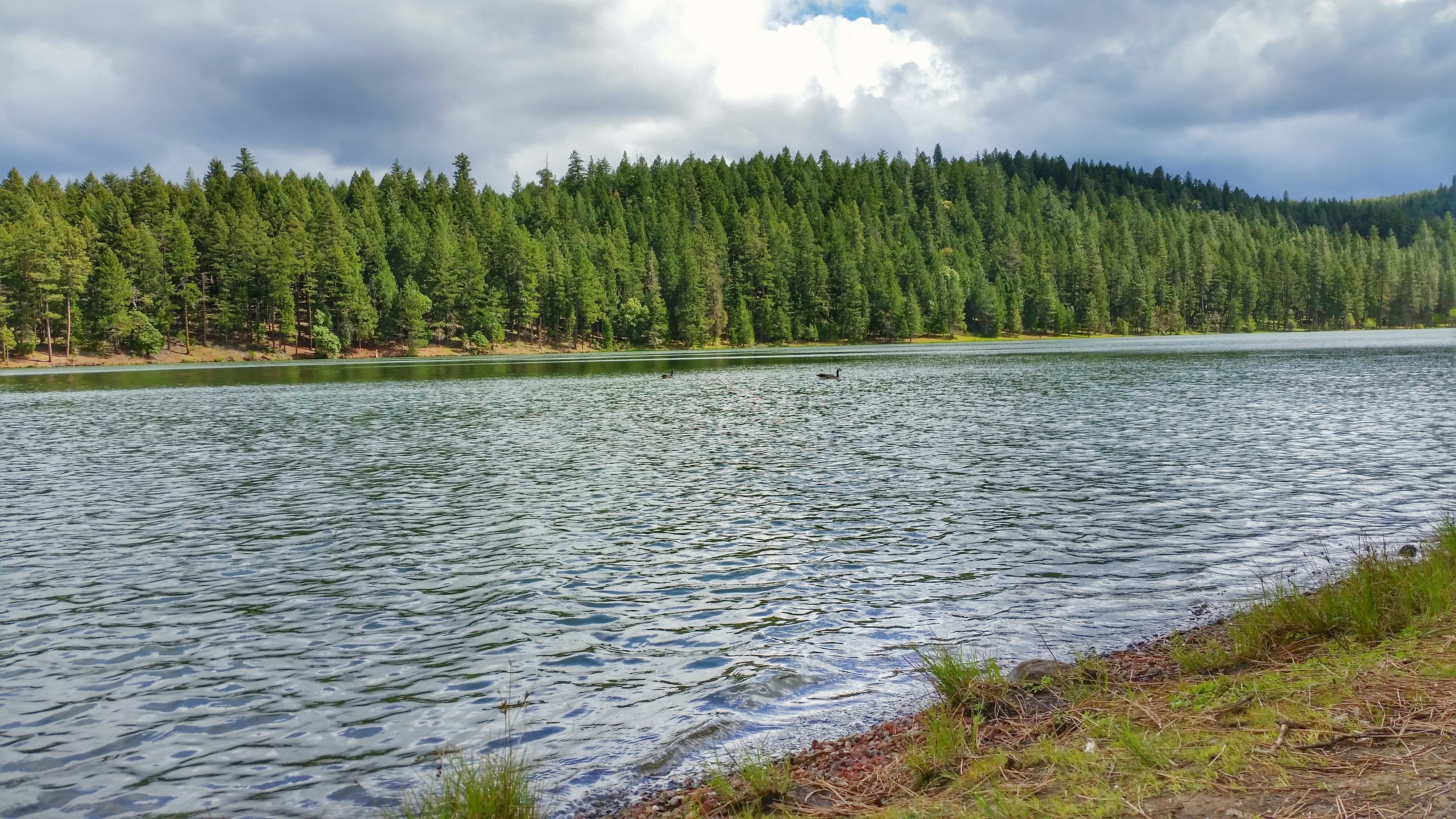
The Lake
Topographic Map of S Fork Little Butte Creek Rd, Eagle Point, OR, USA
Find elevation by address:

Places near S Fork Little Butte Creek Rd, Eagle Point, OR, USA:
South Obenchain Road
10691 E Antelope Rd
8200 E Antelope Rd
Heppsie Mountain
2345 Brownsboro Meridian Rd
16079 E Antelope Rd
9530 S Fork Little Butte Creek Rd
14717 E Antelope Rd
10440 S Fork Little Butte Creek Rd
Butte Falls
13210 Butte Falls Hwy
13201 Butte Falls Hwy
13201 Butte Falls Hwy
2373 Brownsboro-eagle Point Hwy
2387 Brophy Rd
900 Ayres Rd
2871 Cobleigh Rd
Jackson County
2700 N Valley View Rd
Hillcrest Road
Recent Searches:
- Elevation of Corso Fratelli Cairoli, 35, Macerata MC, Italy
- Elevation of Tallevast Rd, Sarasota, FL, USA
- Elevation of 4th St E, Sonoma, CA, USA
- Elevation of Black Hollow Rd, Pennsdale, PA, USA
- Elevation of Oakland Ave, Williamsport, PA, USA
- Elevation of Pedrógão Grande, Portugal
- Elevation of Klee Dr, Martinsburg, WV, USA
- Elevation of Via Roma, Pieranica CR, Italy
- Elevation of Tavkvetili Mountain, Georgia
- Elevation of Hartfords Bluff Cir, Mt Pleasant, SC, USA