Elevation of Burro Creek Campground, Wikieup, AZ, USA
Location: United States > Arizona > Mohave County > Six Mile Crossing >
Longitude: -113.44992
Latitude: 34.5380727
Elevation: 590m / 1936feet
Barometric Pressure: 94KPa
Elevation Map:
Satellite Map:
Related Photos:

D70s Burro Creek (29)e - Burro Creek Wilderness Area

Nothing, Arizona
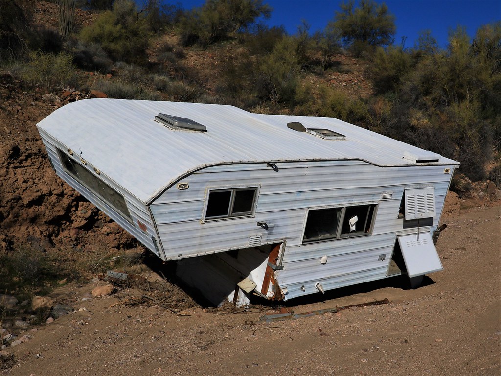
Camper Side View 7D2_5651

D70s Burro Creek (32)e - Burro Creek
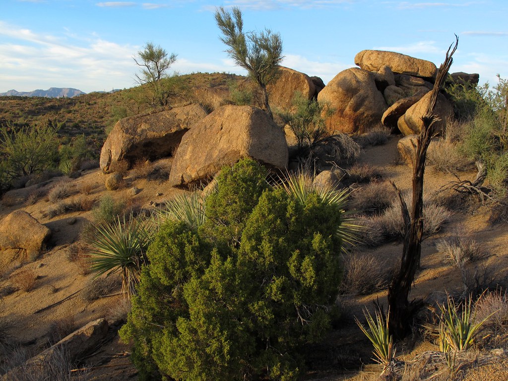
Desert Rockscape

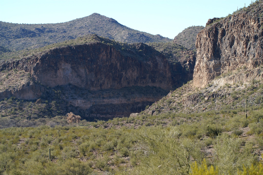
View near Upper Burro Creek

View downstream of our camp

New Neighbor in Camp 7D2_5710

Highway 93 Bridges of Burrow Creek 7D2_5734
My View for Lunch 7D2_5878

View Near the Top Coming Back 7D2_5695
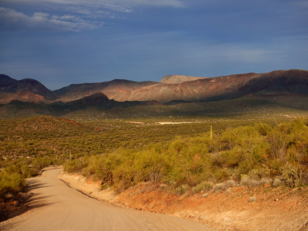
View Down the Road SR602247

Burrow Creek Campground 7D2_5735

Walking Back from the Mines Looking West 7D2_5699

Up the Hill Before the First Mine 7D2_5675

Nothing, AZ

Burro Creek and bridges

Yavapai County Landscape, Project 365: 10/365

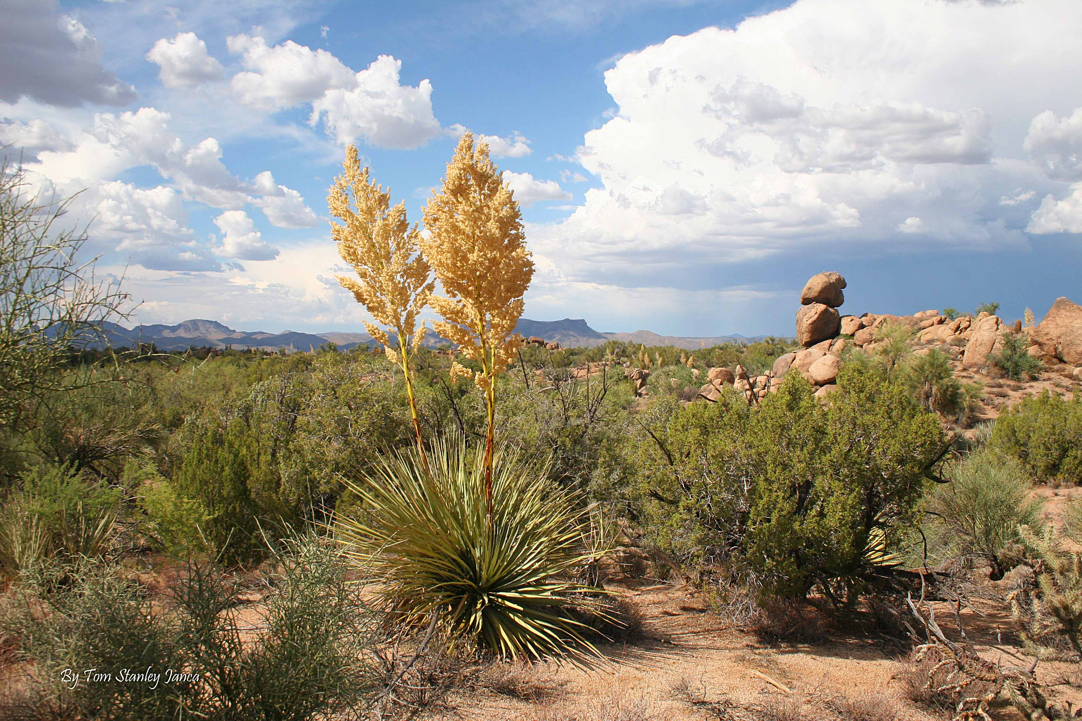
Bigelow's Nolina (Nolina bigelovii) with infloresence
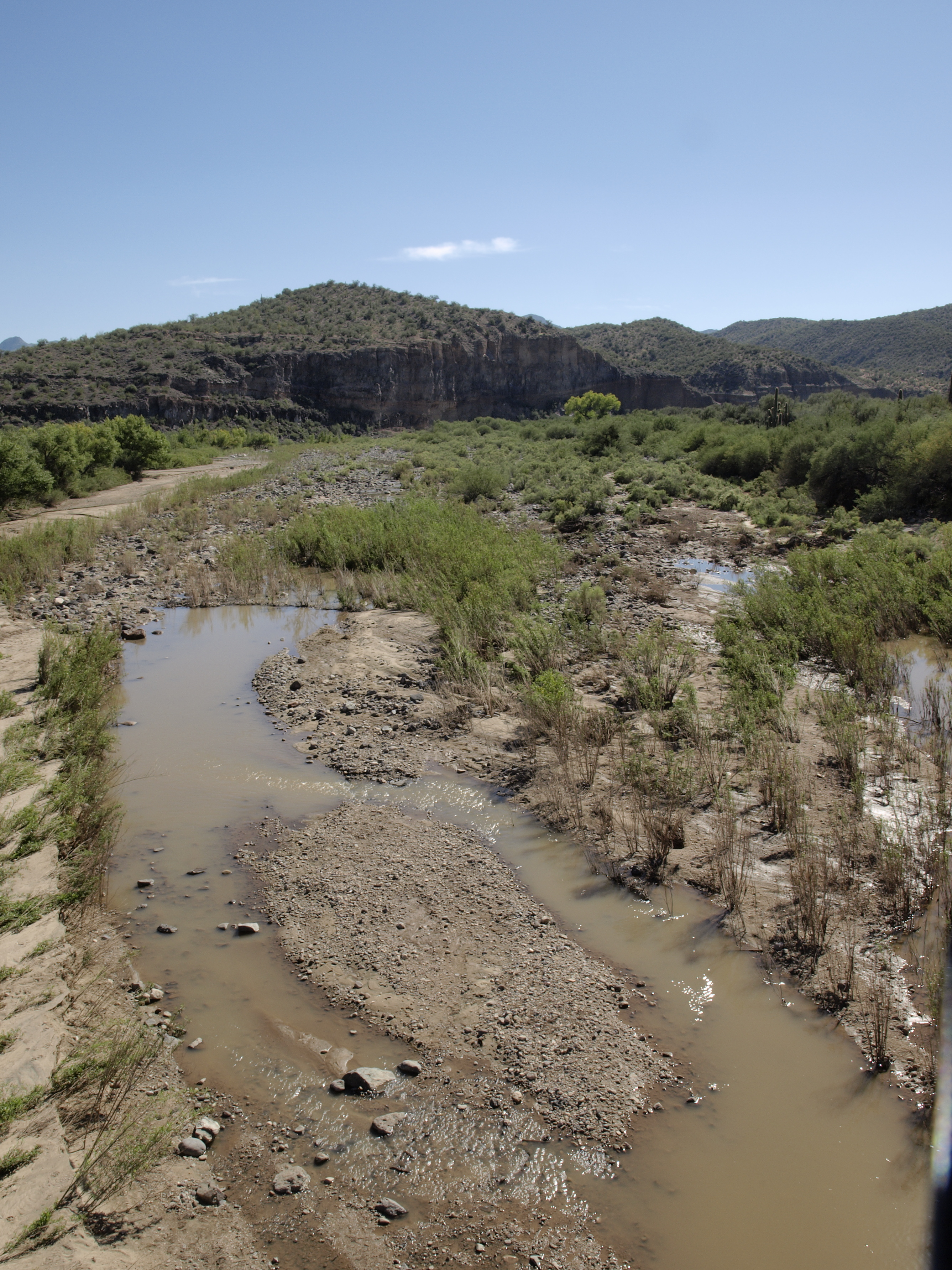
Burro Creek

Rocky Outcropping Along U.S. 93 Near Nothing, Arizona

Rocky Outcropping Along U.S. 93 Near Nothing, Arizona (5)

Burro Creek

Brittle Bush Flowers Along 17 Mile Road.

D70s Burro Creek (22)e

Crested Saguaro

A Winter Sky above Mohave County

Prickly Pear and Saguaru

BARREL CACTUS (Ferrocactus sp.) or young SAGUARO CACTUS?
Nolina In The Summer.

Life along the Highway

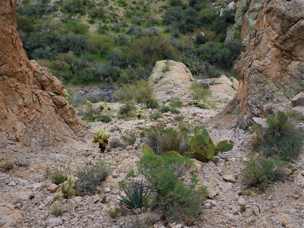
Burro Creek Trail

12-26-14-Burro Creek and Hwy 93 Bridge
122614-Near Burro Creek
Topographic Map of Burro Creek Campground, Wikieup, AZ, USA
Find elevation by address:

Places near Burro Creek Campground, Wikieup, AZ, USA:
Six Mile Crossing
Perkins Rd, Wikieup, AZ, USA
Signal Rd, Yucca, AZ, USA
19200 Cholla Canyon Ranch Rd
9200 Cholla Canyon Ranch Rd
Wikieup
Colorado River
Bagdad
10 Bridle View Ct, Bagdad, AZ, USA
Mccracken Mine Road
Chicken Springs Road
11870 S Bogles Ranch Rd
Big Sandy Range
7480 E Mesquite Dr
Yucca, AZ, USA
Red Barrel Drive
6751 S A Frame Ct
Hillside Rd, Bagdad, AZ, USA
4150 Iron Horse Rd
Hualapai Mountains
Recent Searches:
- Elevation of Corso Fratelli Cairoli, 35, Macerata MC, Italy
- Elevation of Tallevast Rd, Sarasota, FL, USA
- Elevation of 4th St E, Sonoma, CA, USA
- Elevation of Black Hollow Rd, Pennsdale, PA, USA
- Elevation of Oakland Ave, Williamsport, PA, USA
- Elevation of Pedrógão Grande, Portugal
- Elevation of Klee Dr, Martinsburg, WV, USA
- Elevation of Via Roma, Pieranica CR, Italy
- Elevation of Tavkvetili Mountain, Georgia
- Elevation of Hartfords Bluff Cir, Mt Pleasant, SC, USA