Elevation of Bagdad, AZ, USA
Location: United States > Arizona > Yavapai County >
Longitude: -113.17640
Latitude: 34.5768849
Elevation: 1155m / 3789feet
Barometric Pressure: 88KPa
Elevation Map:
Satellite Map:
Related Photos:

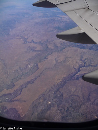
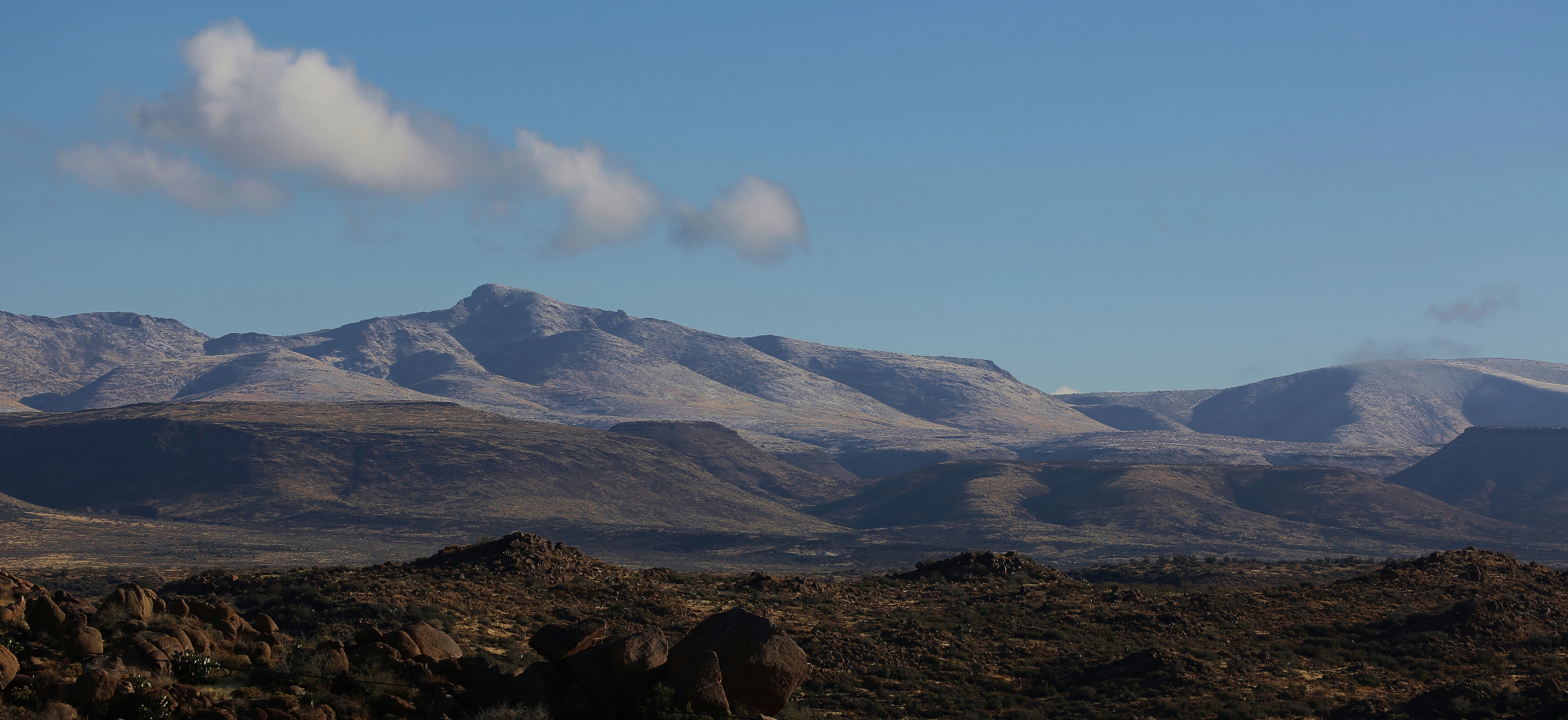
Another view
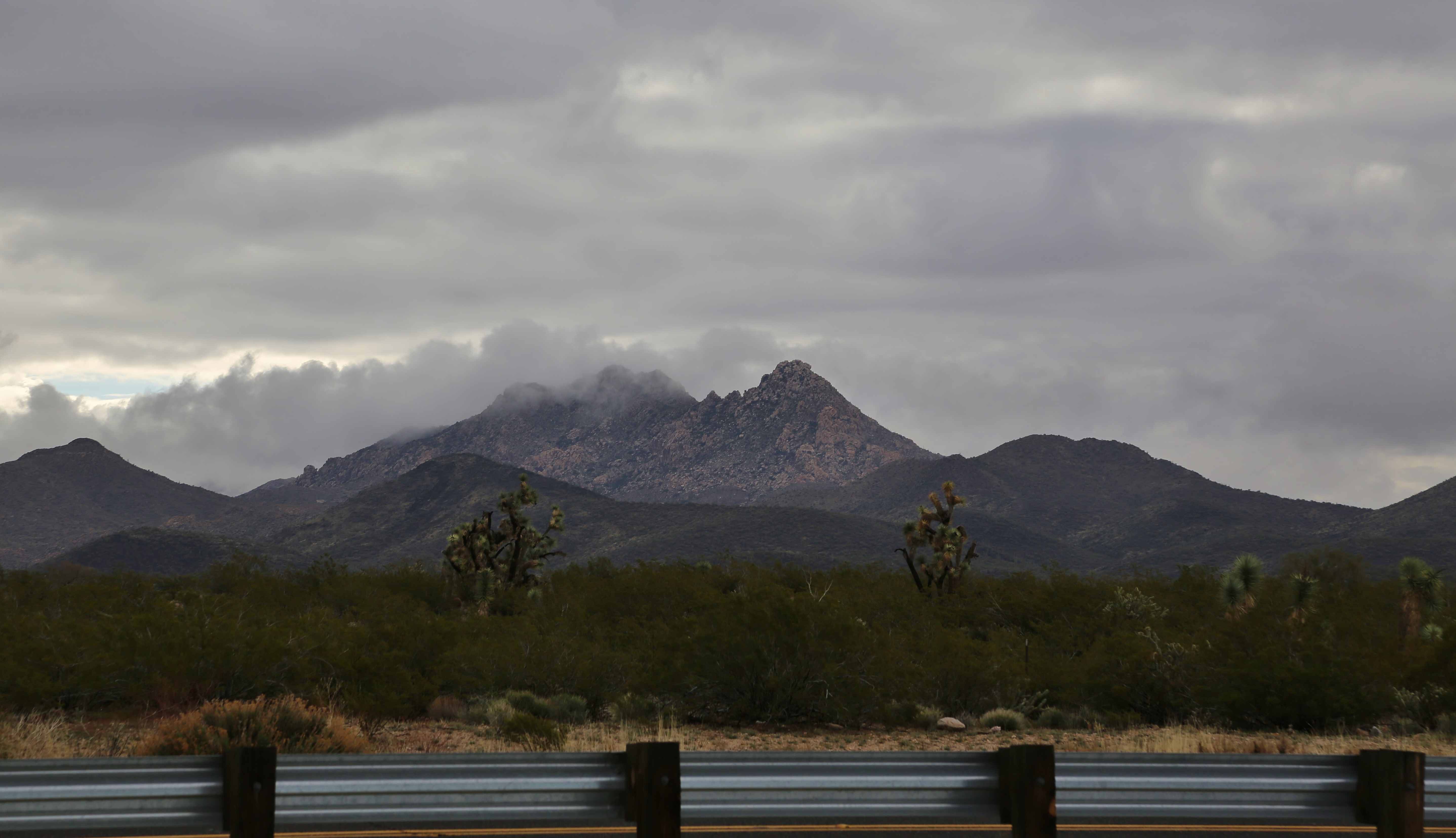
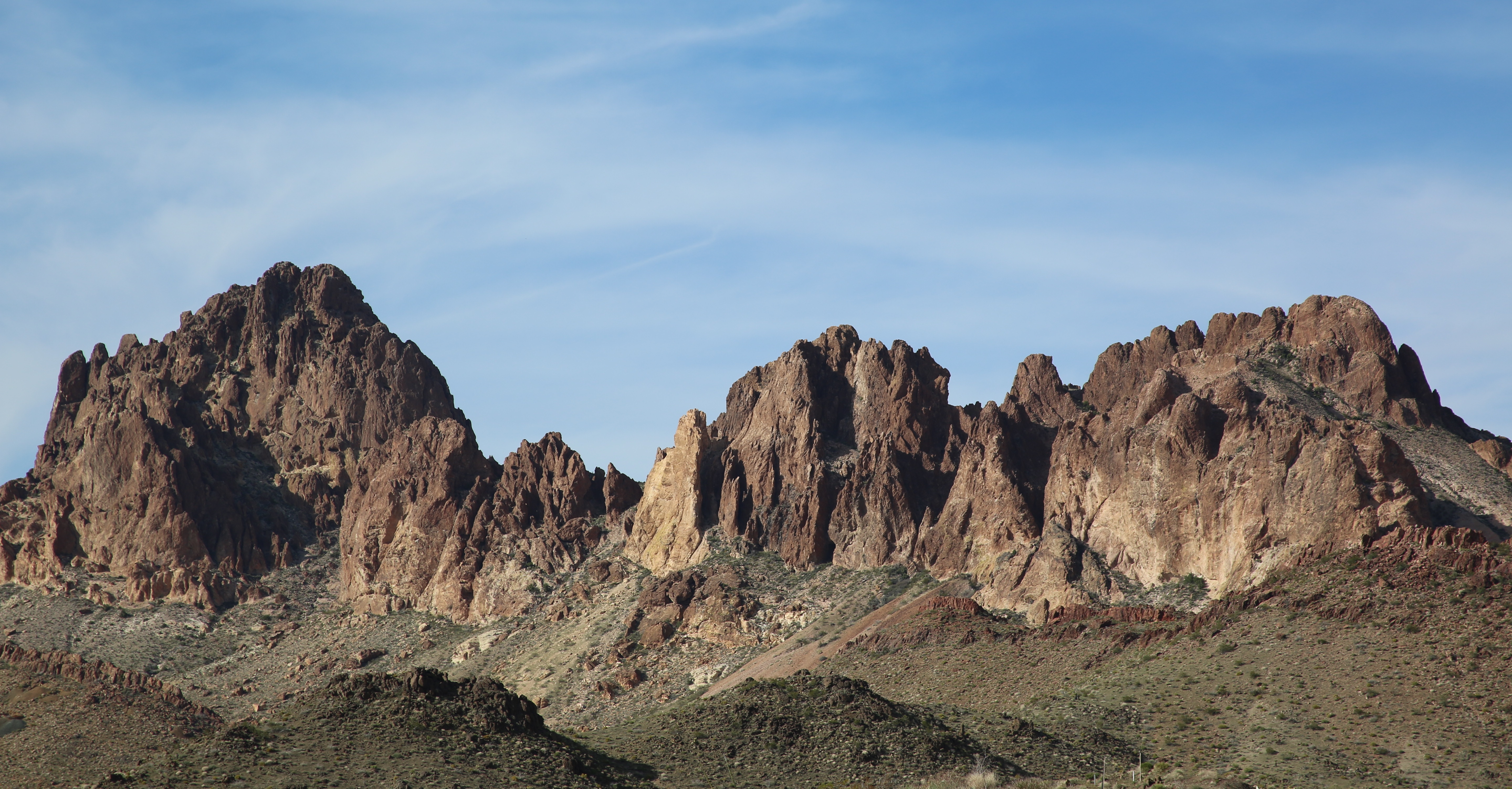
Upper Burro Creek Wilderness, Arizona
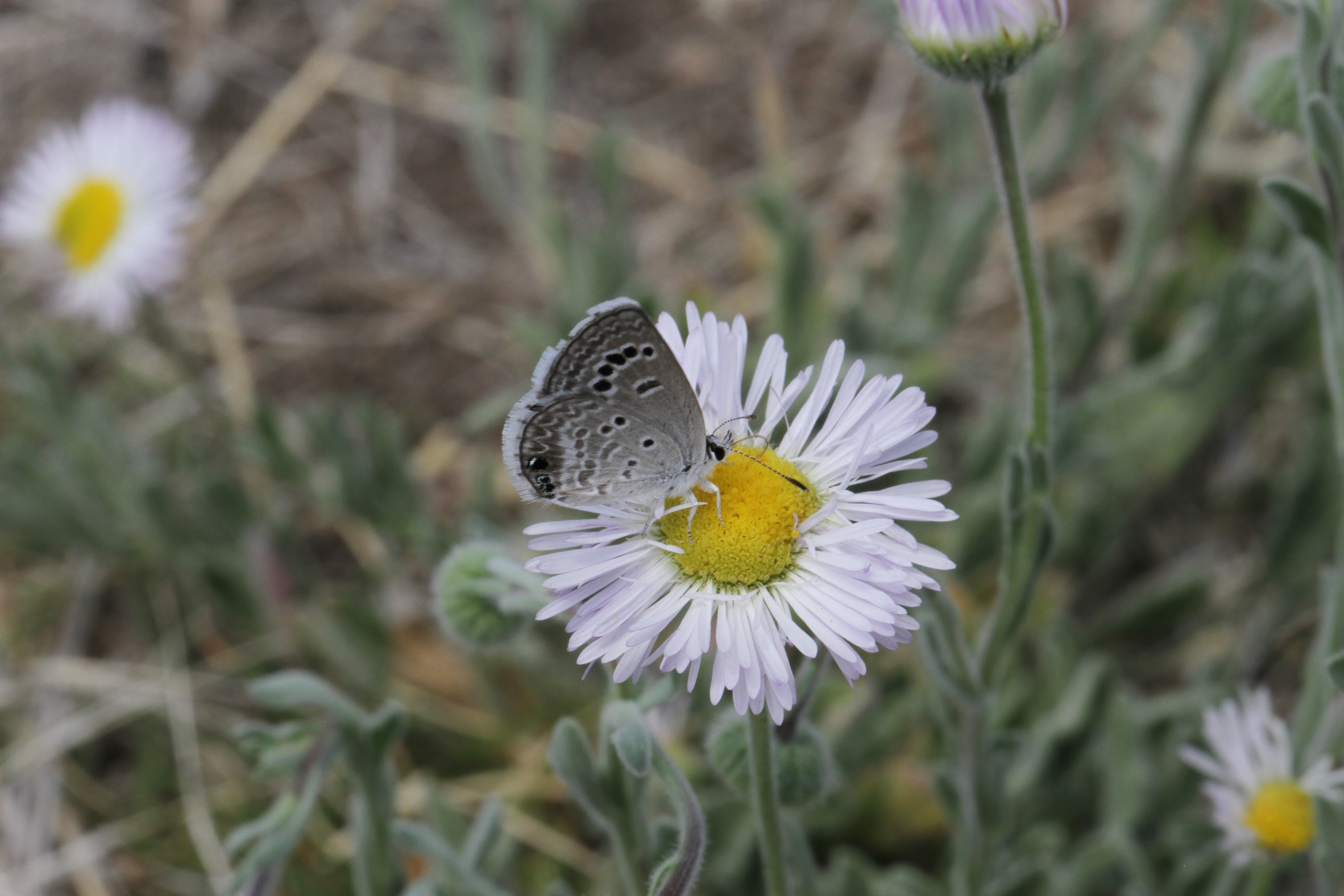
Reakirt's Blue Butterfly side view

Shops to view

Side View

Good shot
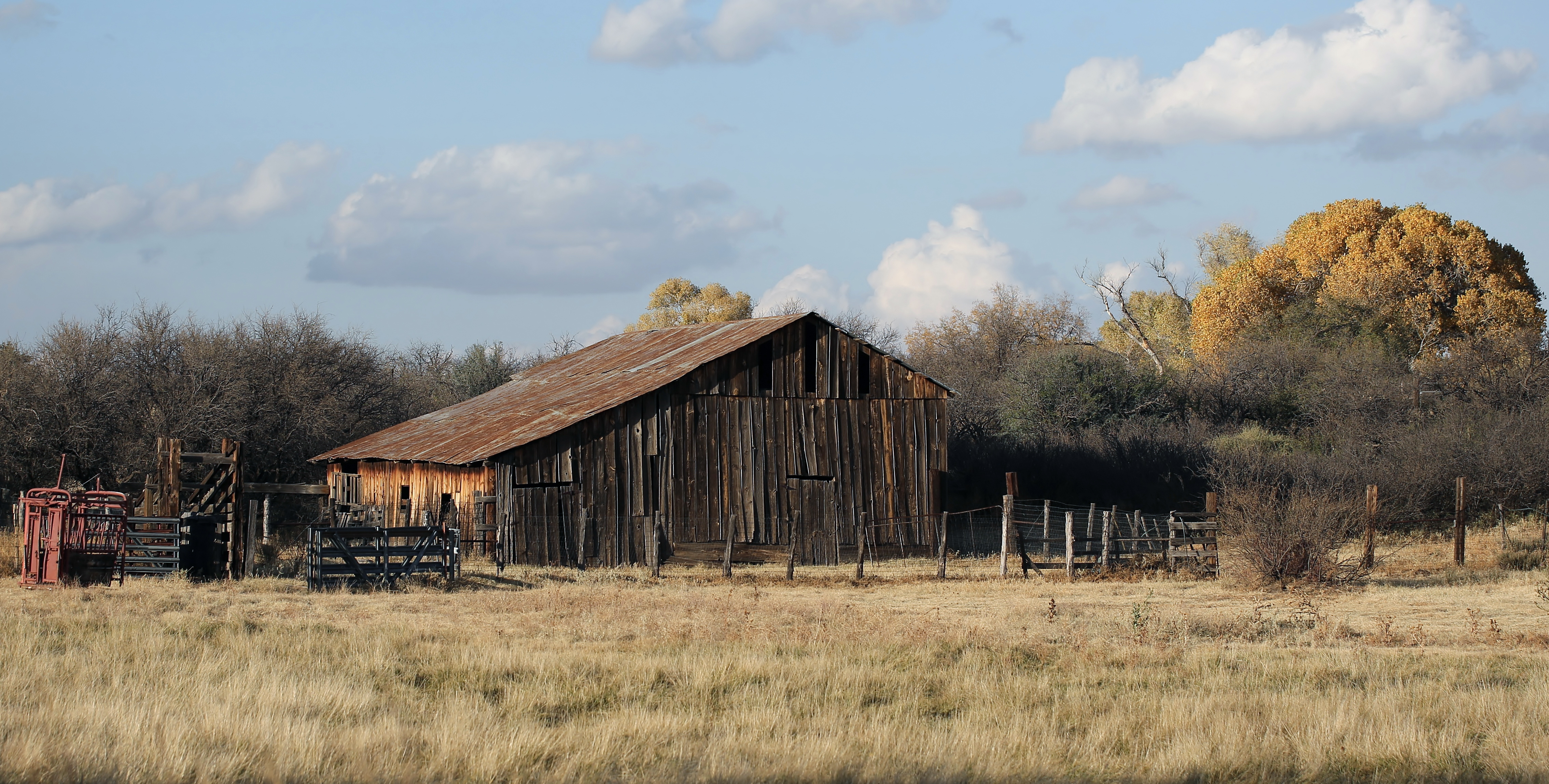
Old Barn

Western Pygmy Blue
Back side

Ouch!

Another Sunset
Cold morning

Butterfly Training 101
Rainy day

Buckeye Butterfly
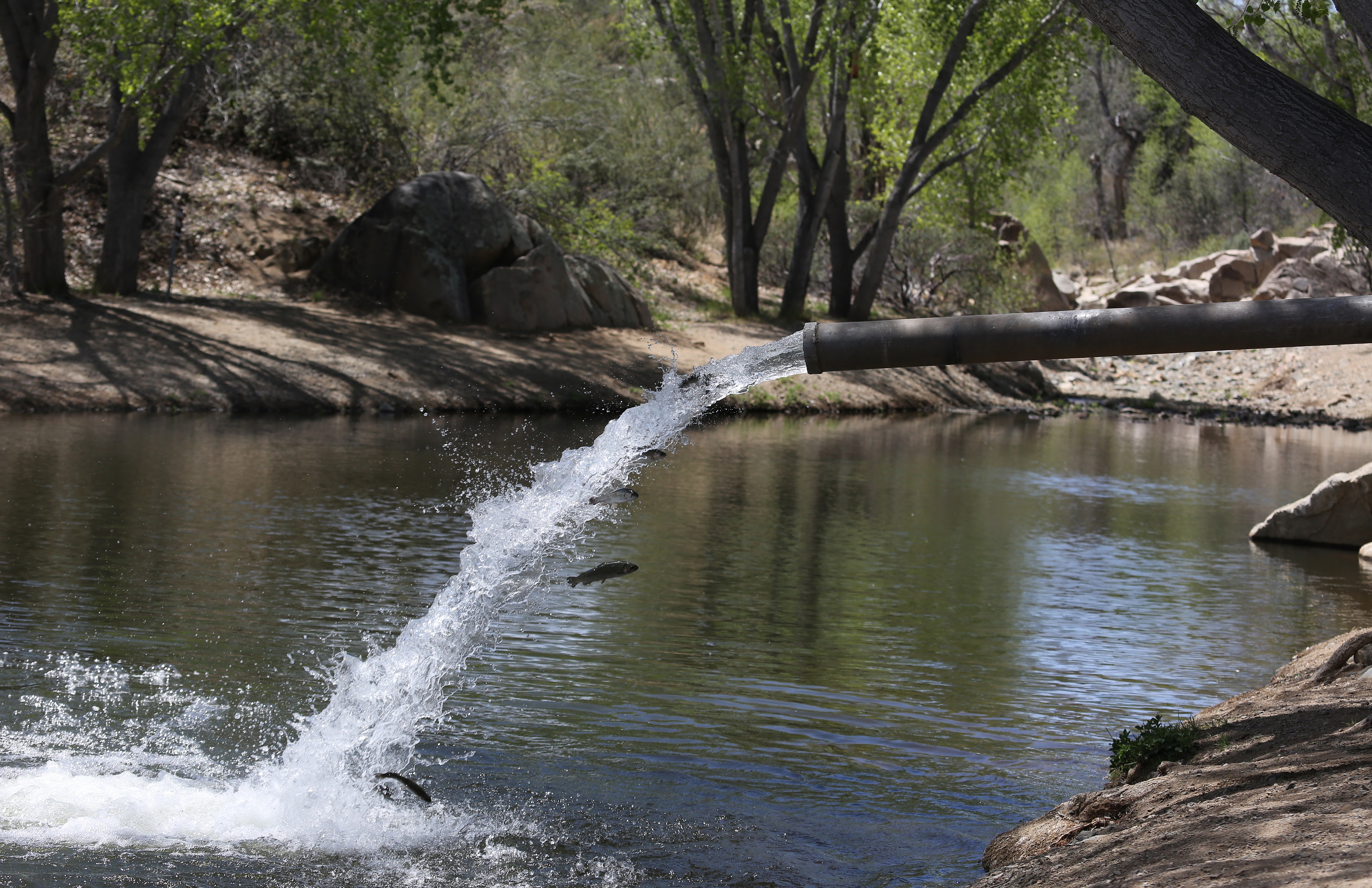
Stocking Fain park lake

Their Everywhere

It's green

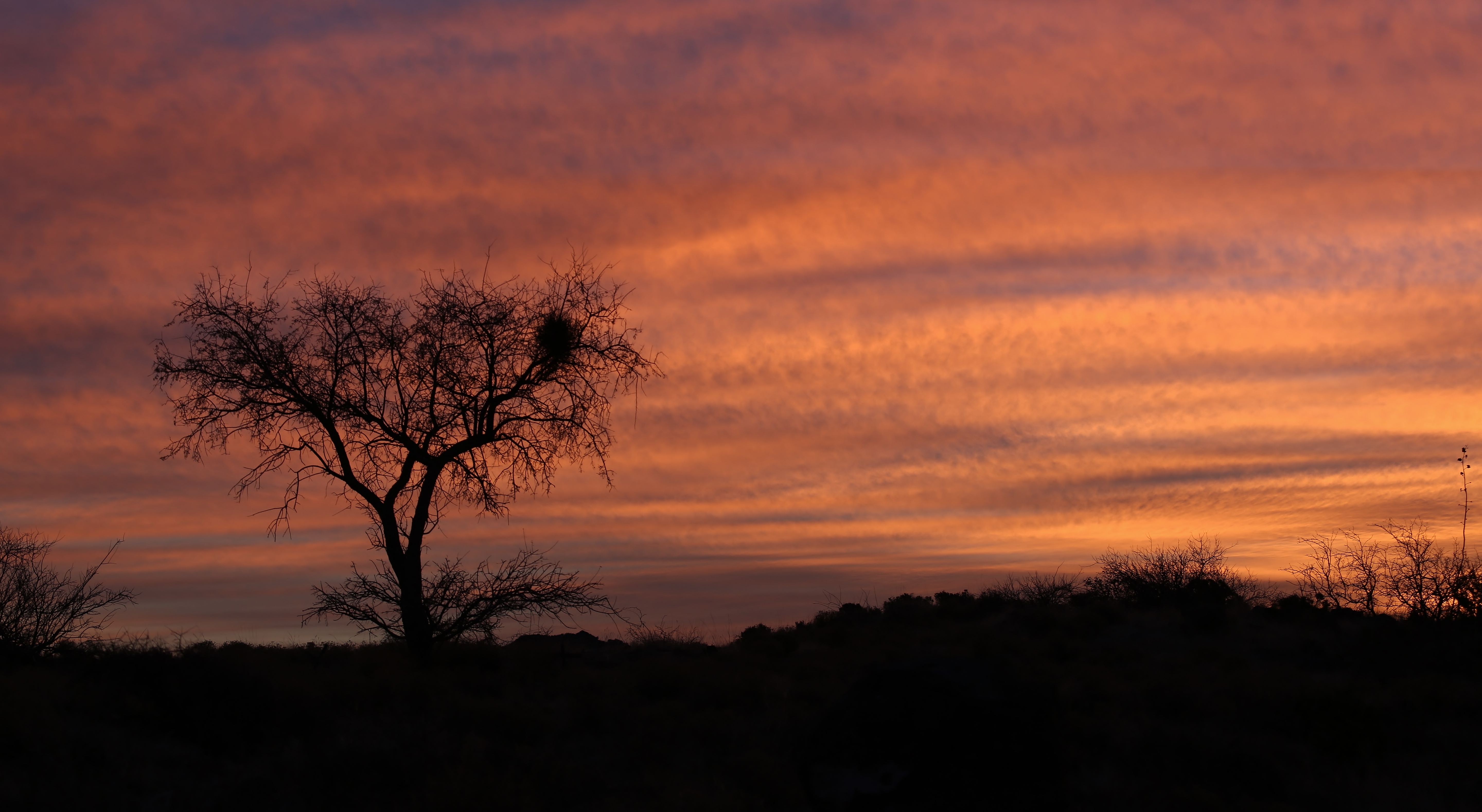
Painted Sky
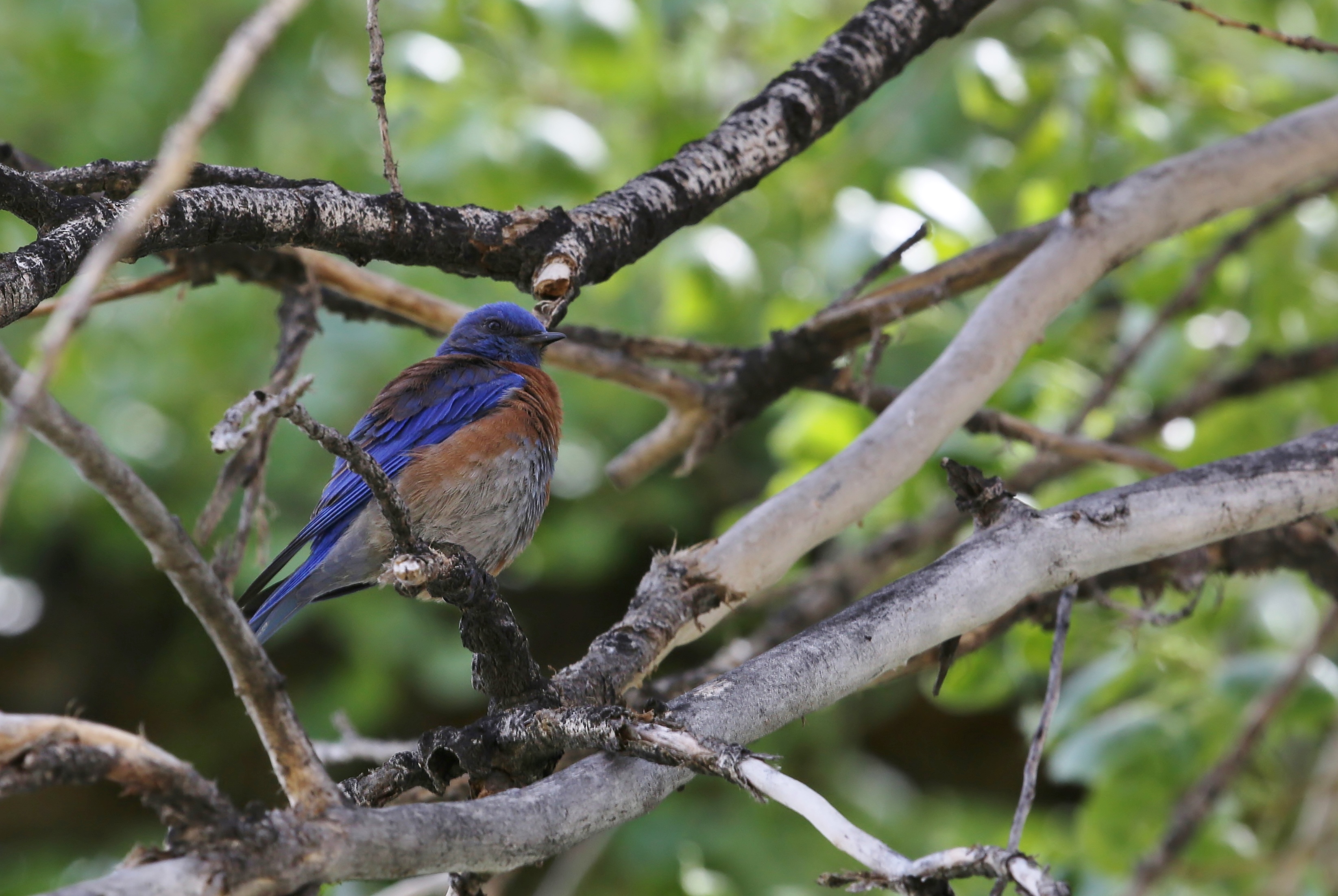
Western Bluebird

Same Fly
Morning Sunrise
Outside of Bullhead
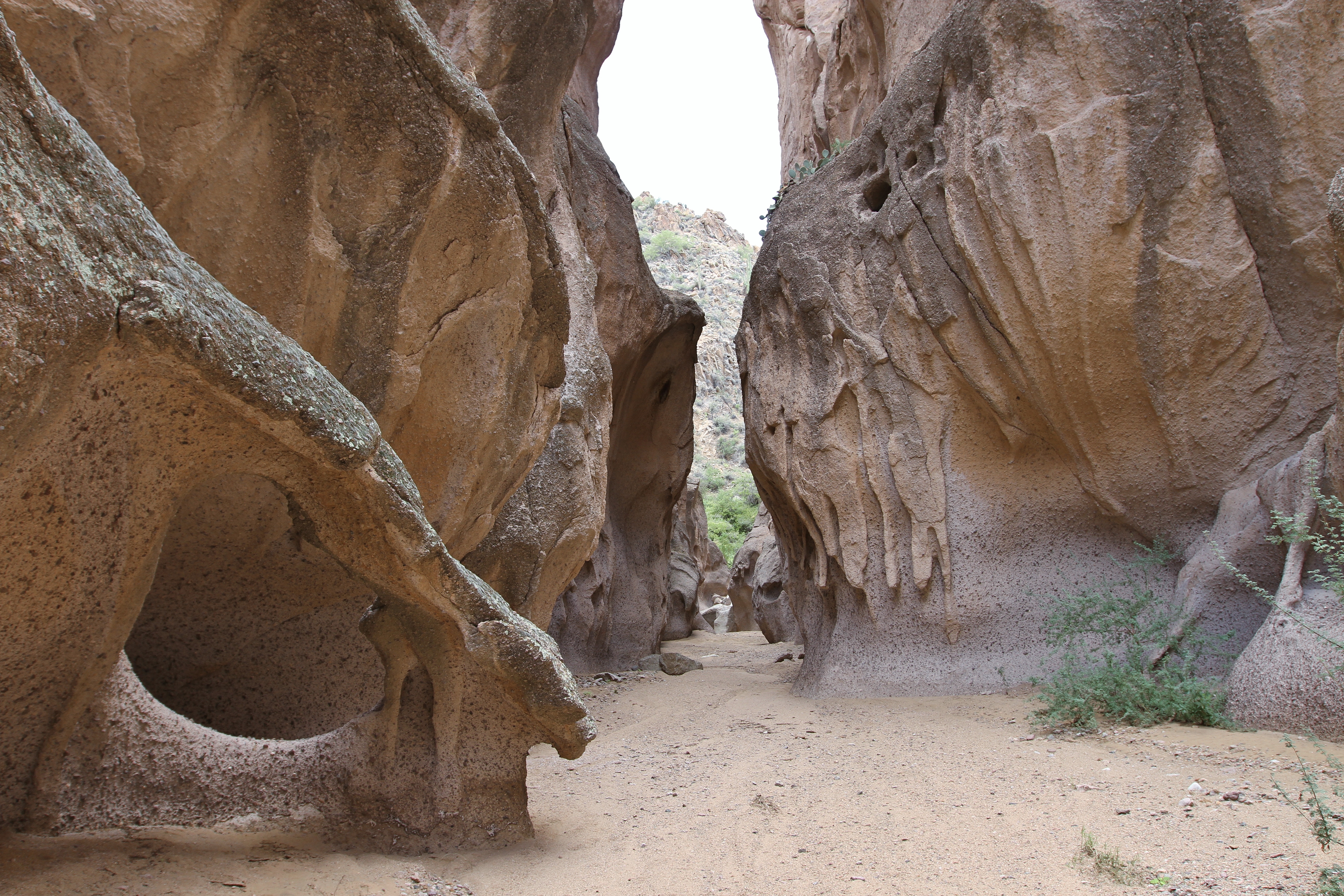
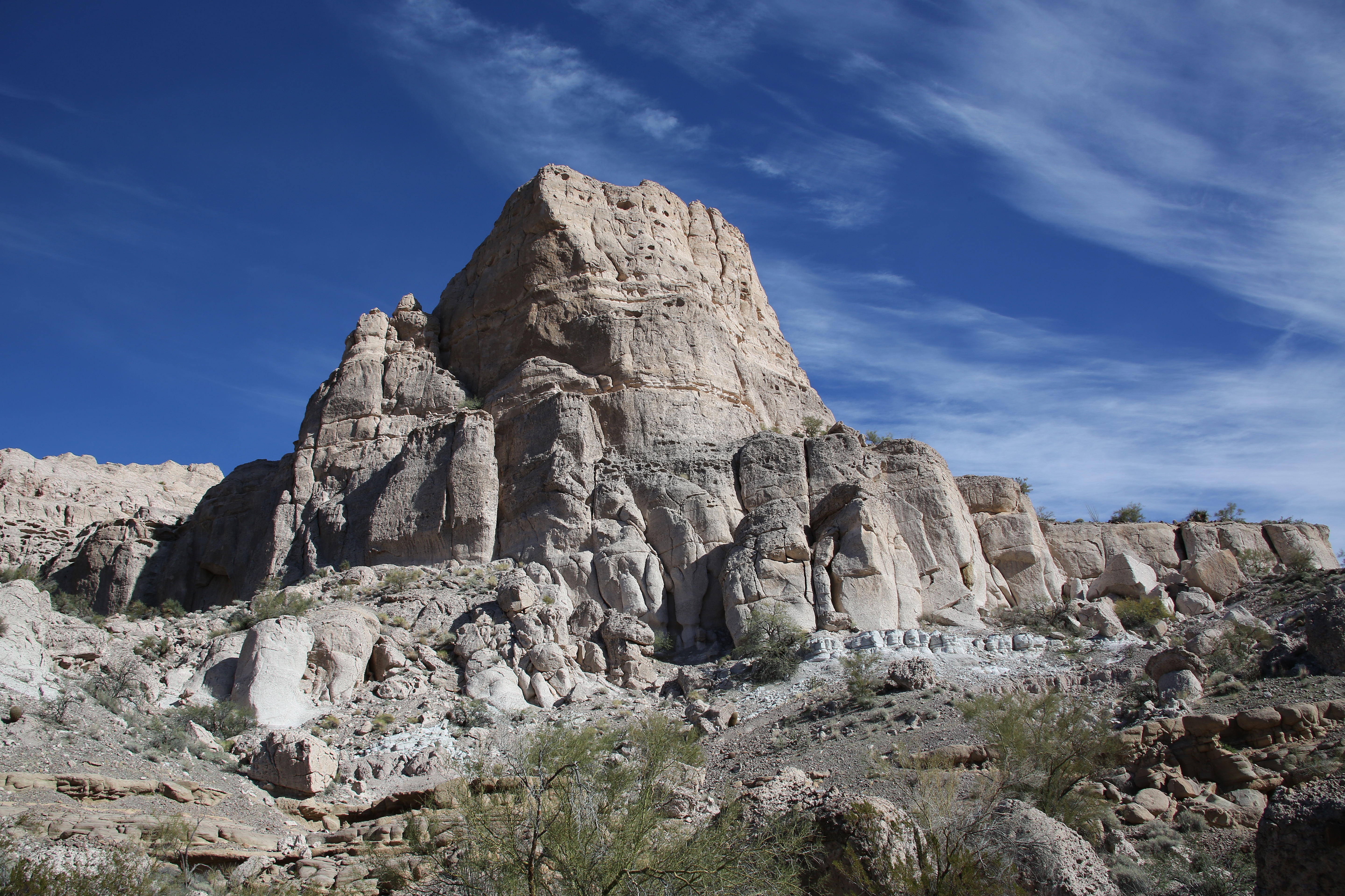
Lady in the rock
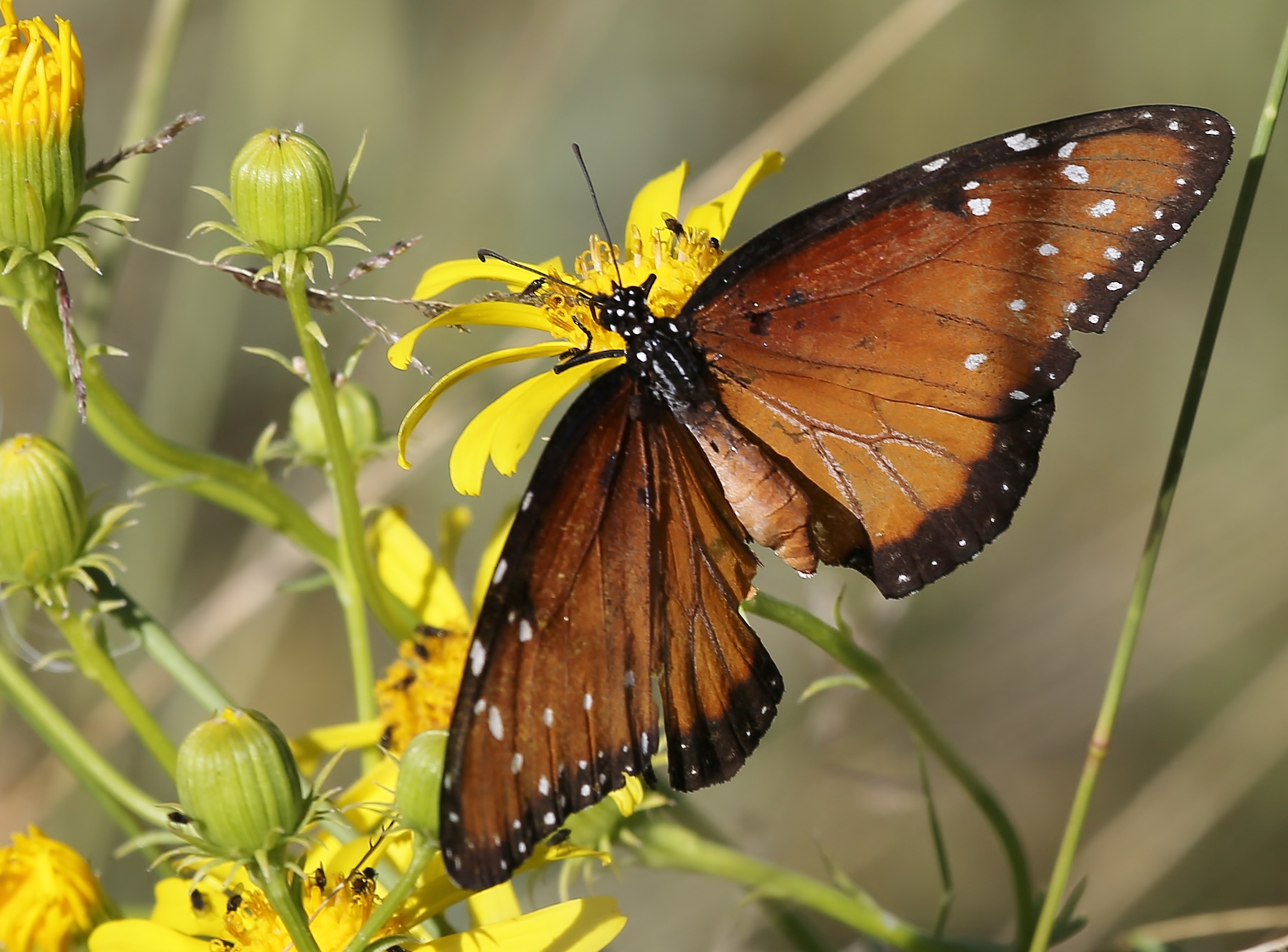
Queen Butterfly
Topographic Map of Bagdad, AZ, USA
Find elevation by address:

Places in Bagdad, AZ, USA:
Places near Bagdad, AZ, USA:
10 Bridle View Ct, Bagdad, AZ, USA
Six Mile Crossing
Burro Creek Campground
4150 Iron Horse Rd
350 Iron Horse Rd
350 Iron Horse Rd
Hillside Rd, Bagdad, AZ, USA
Date Creek Rd, Congress, AZ, USA
Colorado River
11870 S Bogles Ranch Rd
19200 Cholla Canyon Ranch Rd
Date Creek Rd, Congress, AZ, USA
Perkins Rd, Wikieup, AZ, USA
Z3 Ranch Rd, Skull Valley, AZ, USA
9200 Cholla Canyon Ranch Rd
W Fair Oaks Rd, Prescott, AZ, USA
Wikieup
Signal Rd, Yucca, AZ, USA
2450 Iron Springs Rd
8235 Co Rd 10
Recent Searches:
- Elevation of Corso Fratelli Cairoli, 35, Macerata MC, Italy
- Elevation of Tallevast Rd, Sarasota, FL, USA
- Elevation of 4th St E, Sonoma, CA, USA
- Elevation of Black Hollow Rd, Pennsdale, PA, USA
- Elevation of Oakland Ave, Williamsport, PA, USA
- Elevation of Pedrógão Grande, Portugal
- Elevation of Klee Dr, Martinsburg, WV, USA
- Elevation of Via Roma, Pieranica CR, Italy
- Elevation of Tavkvetili Mountain, Georgia
- Elevation of Hartfords Bluff Cir, Mt Pleasant, SC, USA