Elevation of Burbage, Hinckley LE10, UK
Location: United Kingdom > Leicestershire >
Longitude: -1.348303
Latitude: 52.527666
Elevation: 122m / 400feet
Barometric Pressure: 100KPa
Elevation Map:
Satellite Map:
Related Photos:
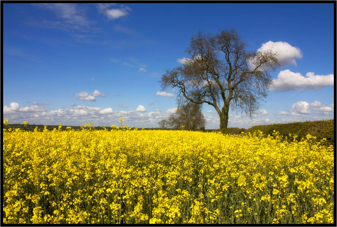
That field again.
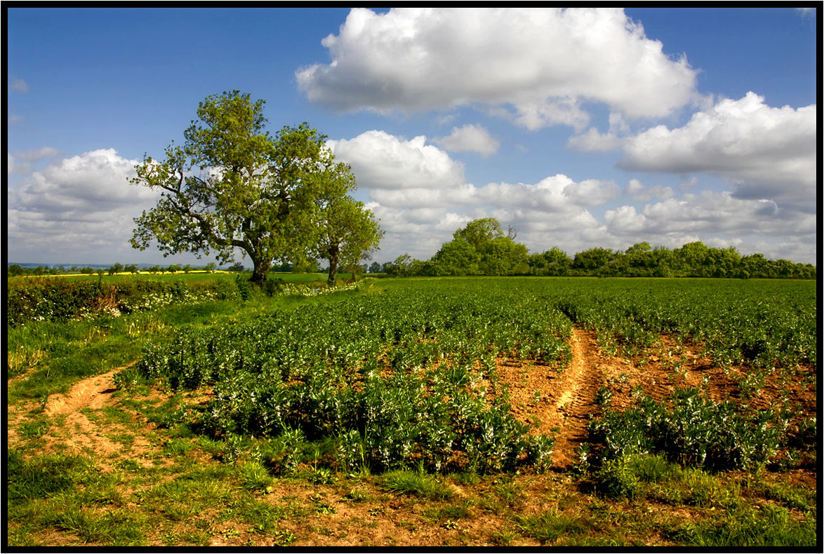
A Footpath.
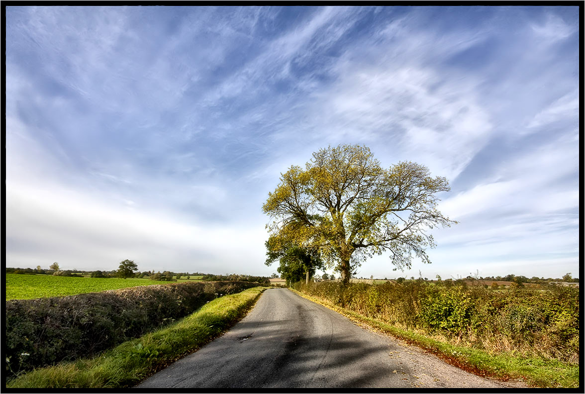
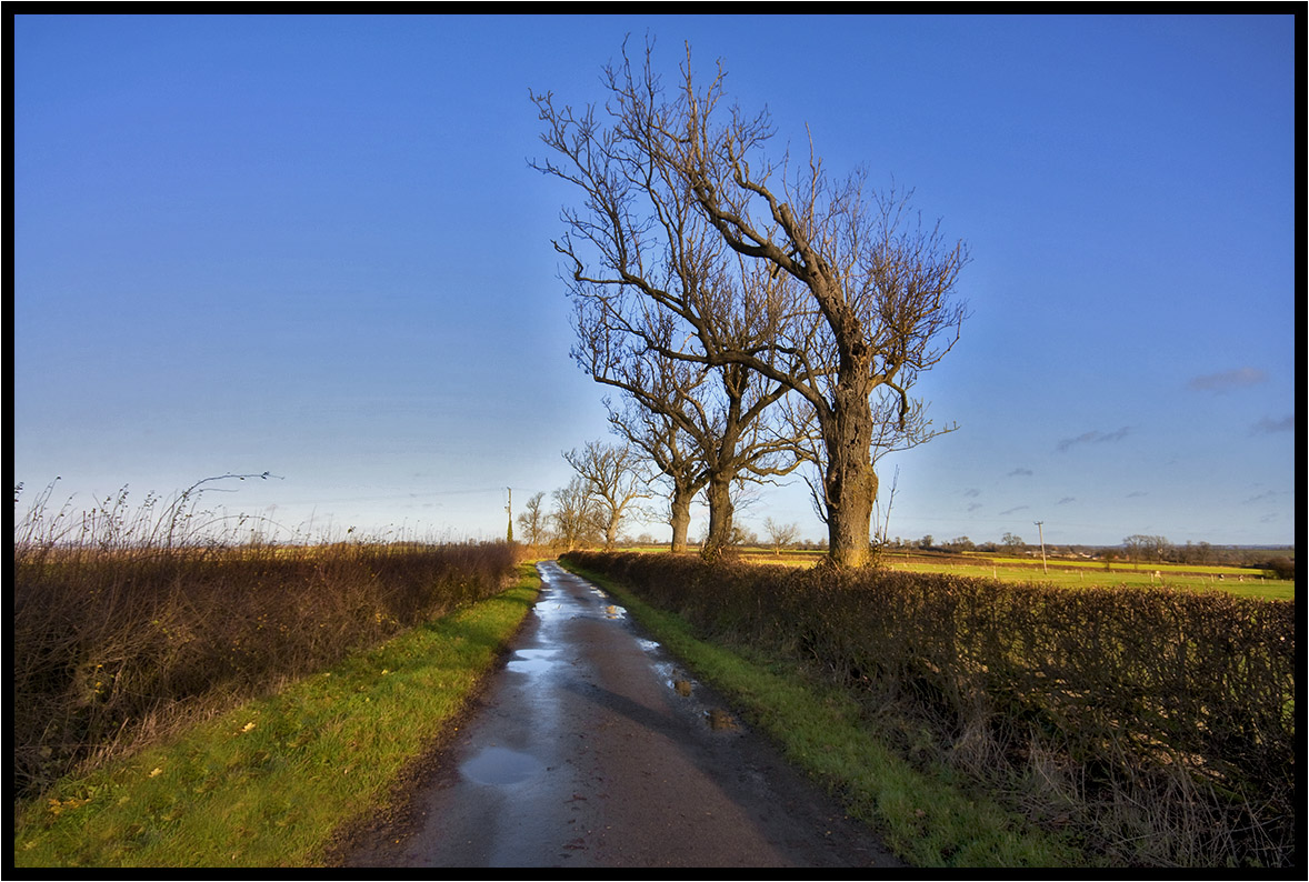
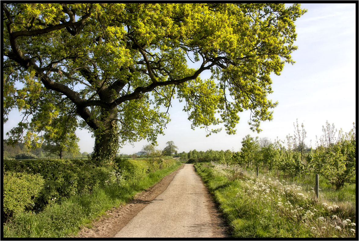
Country Lane
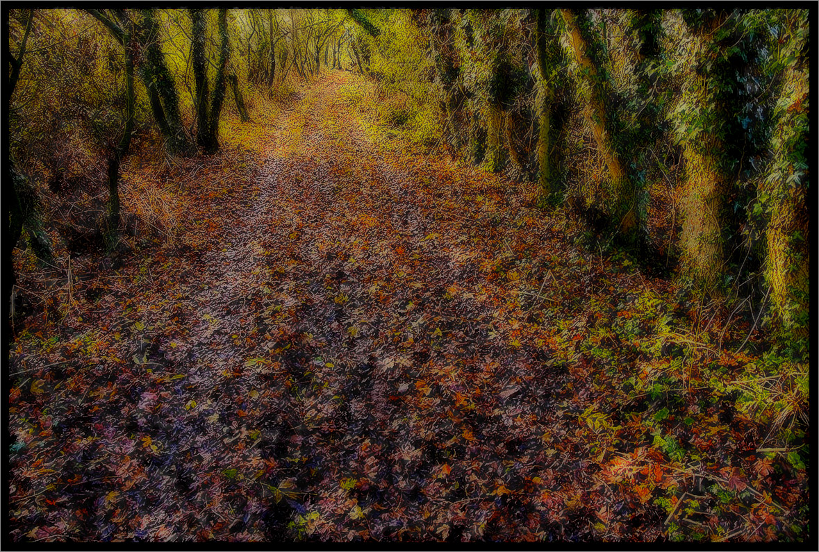
The Path.
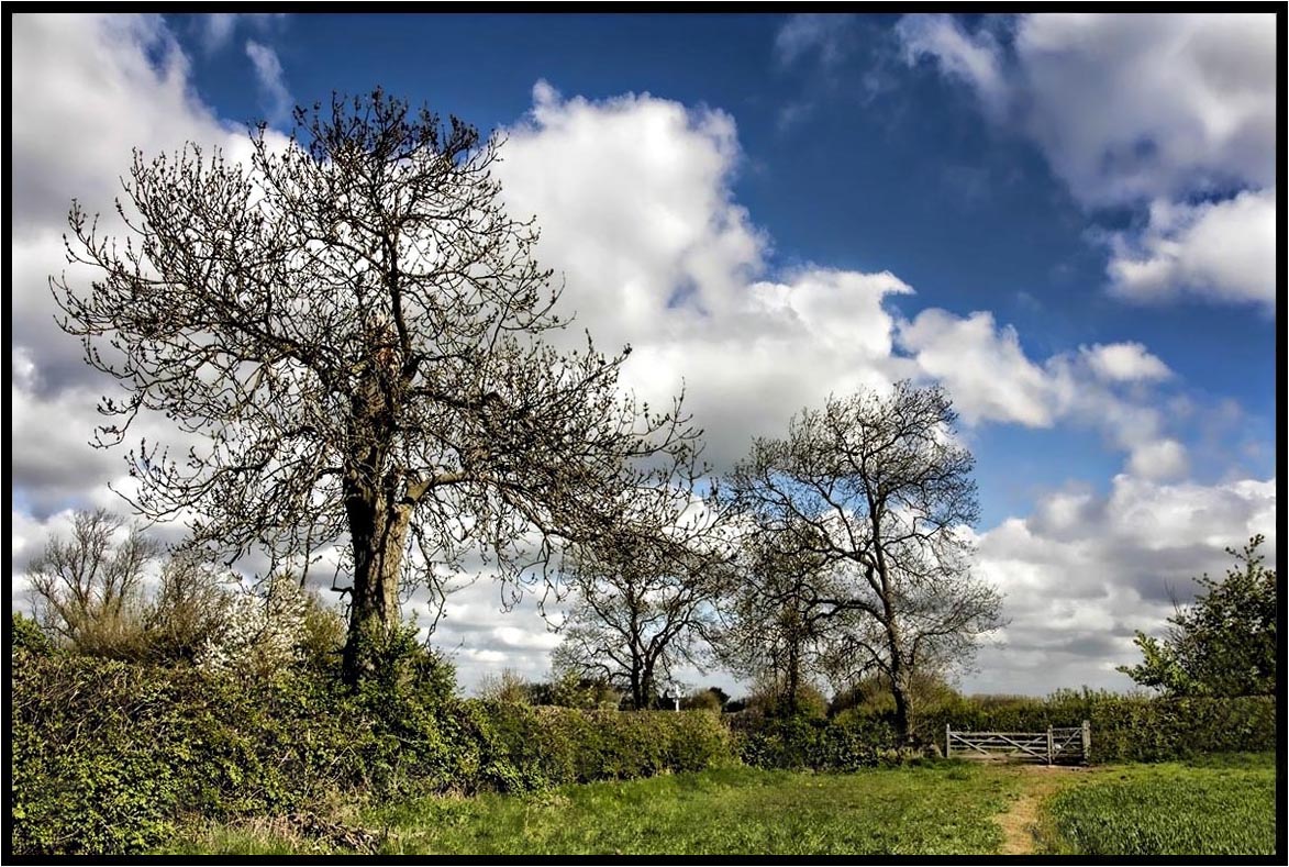
The Prevailing Wind.
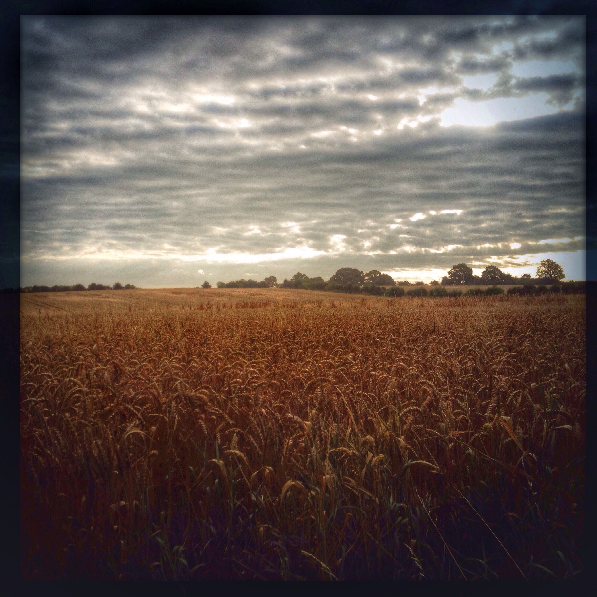
Under The Clouds.
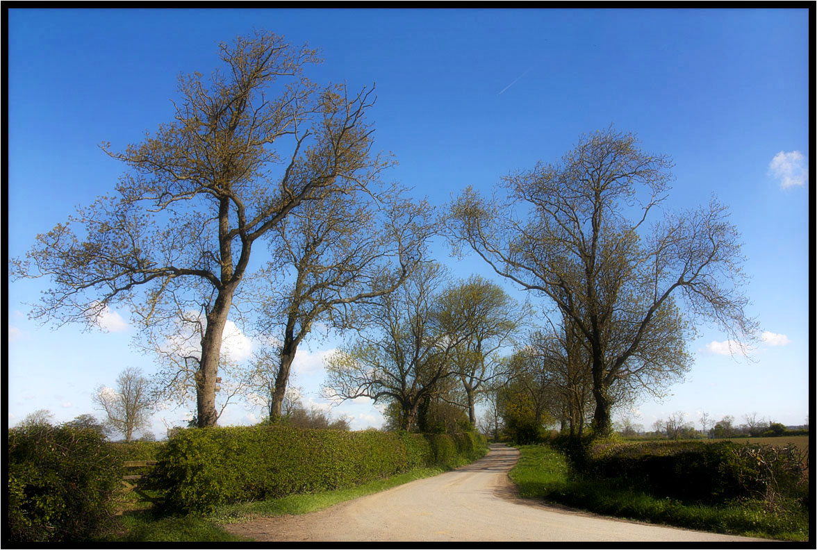
Country Lane.
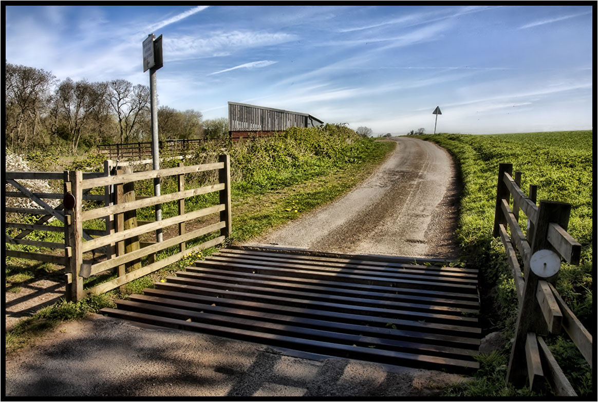
The Cattle Grid.
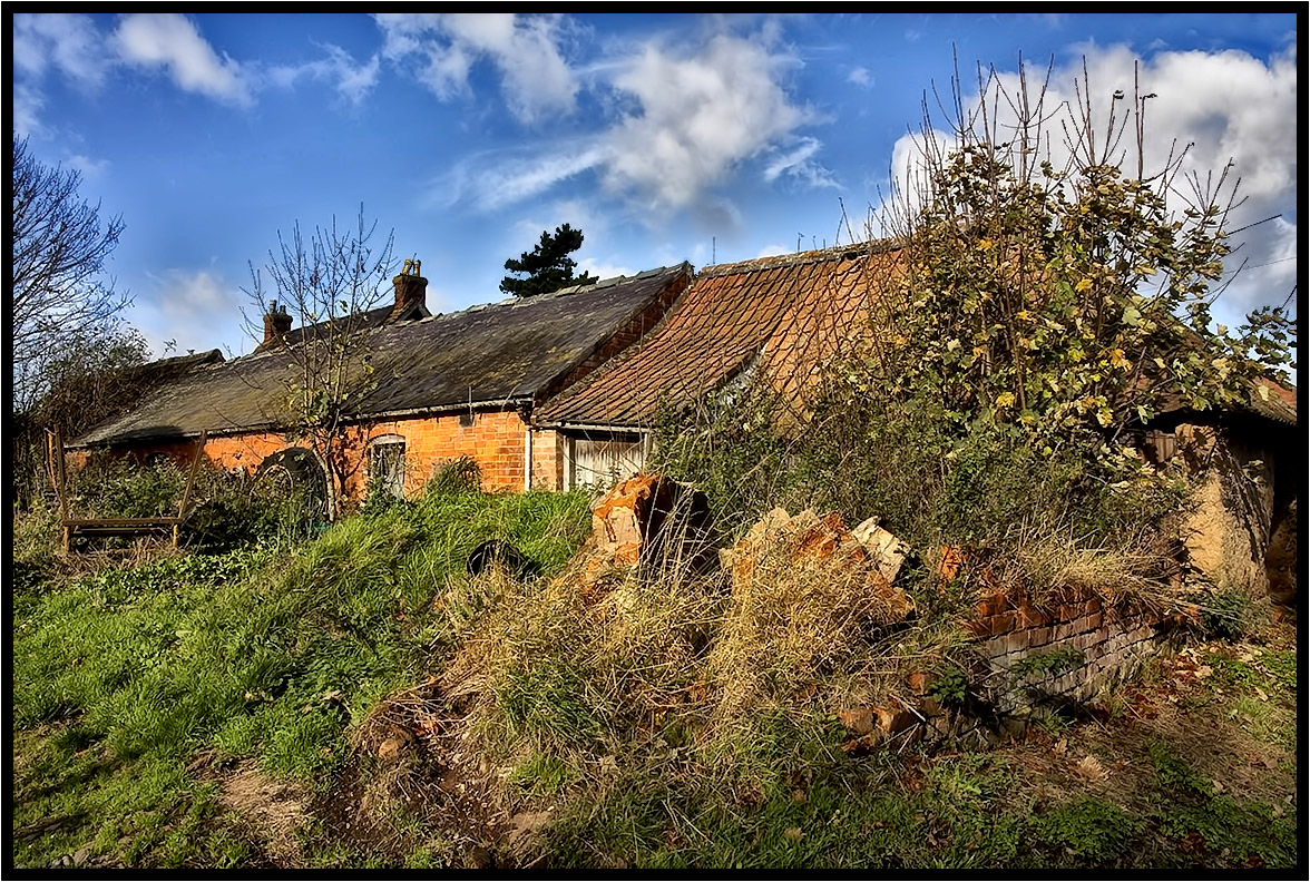
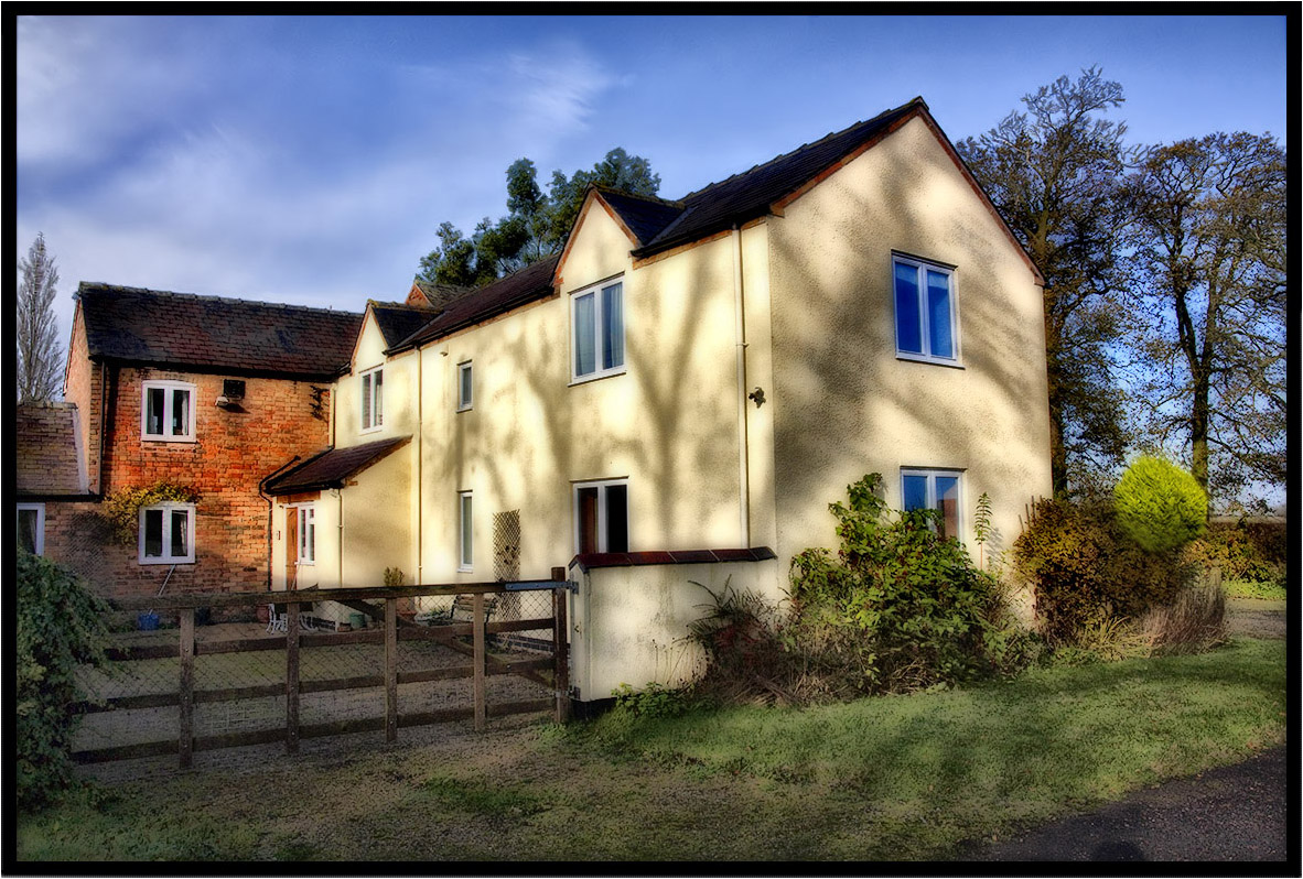
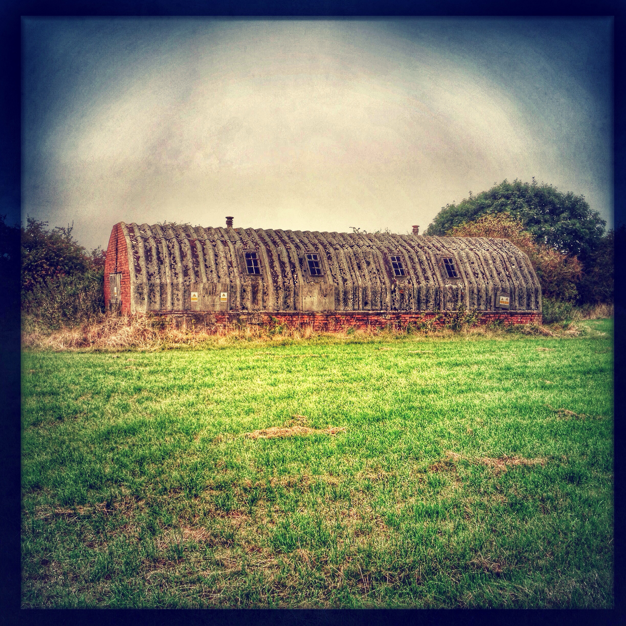
The Old Farm.
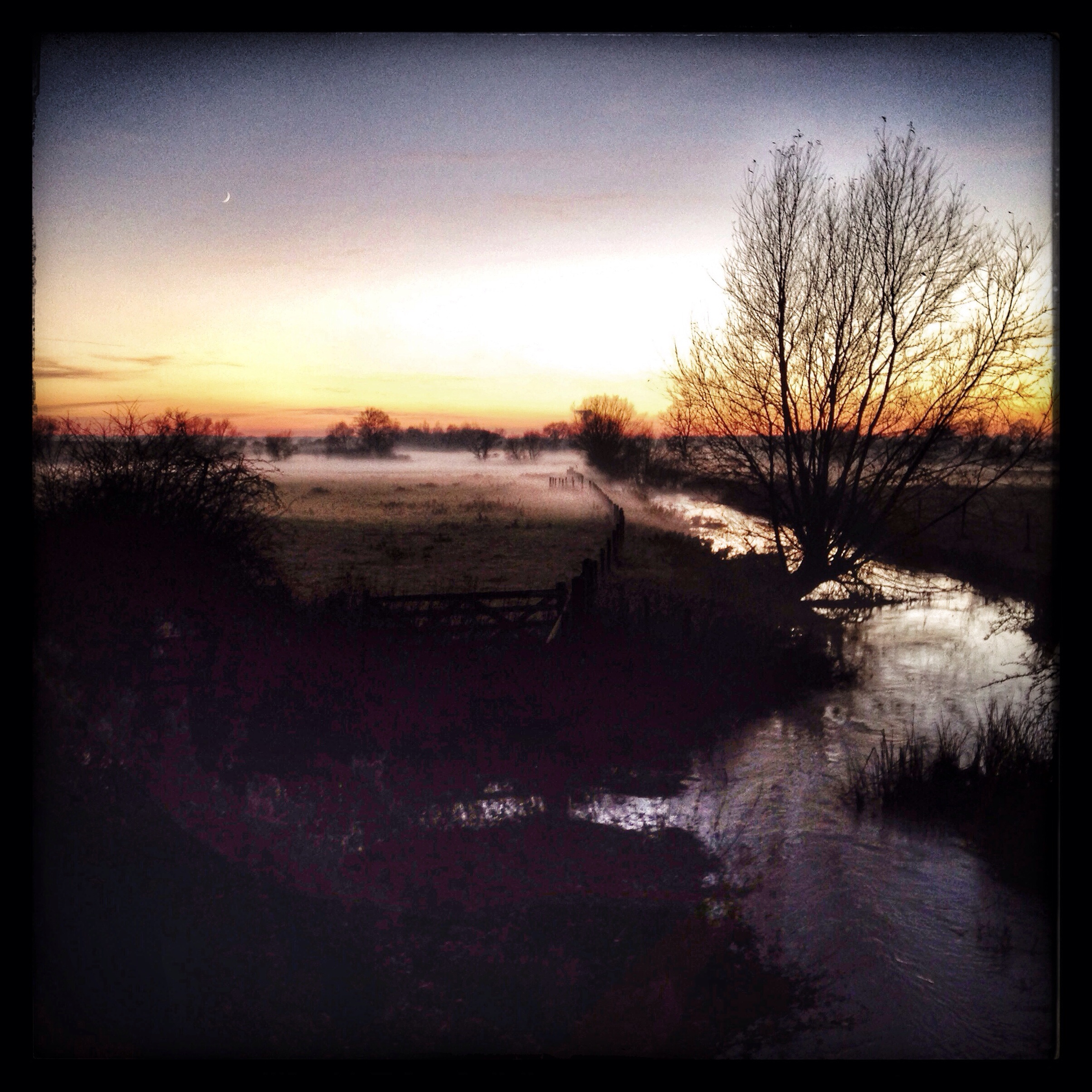
My Morning Walk.
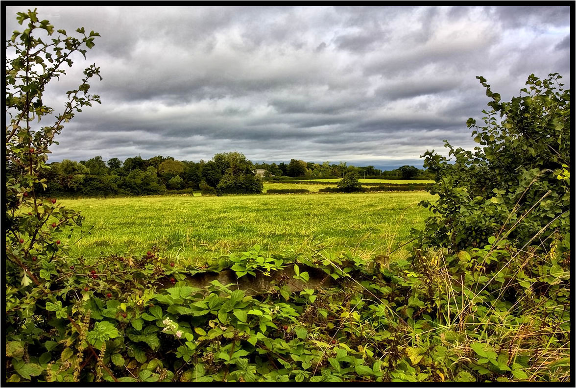
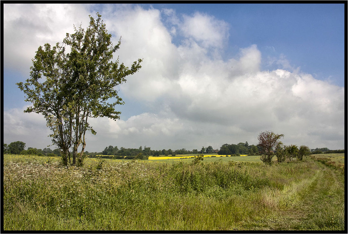
Across the fields.
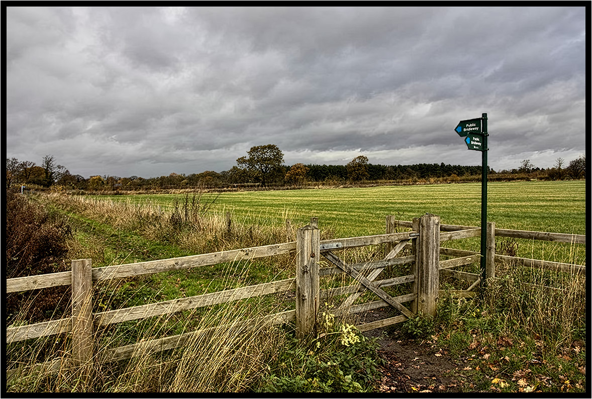
The Bridleway.
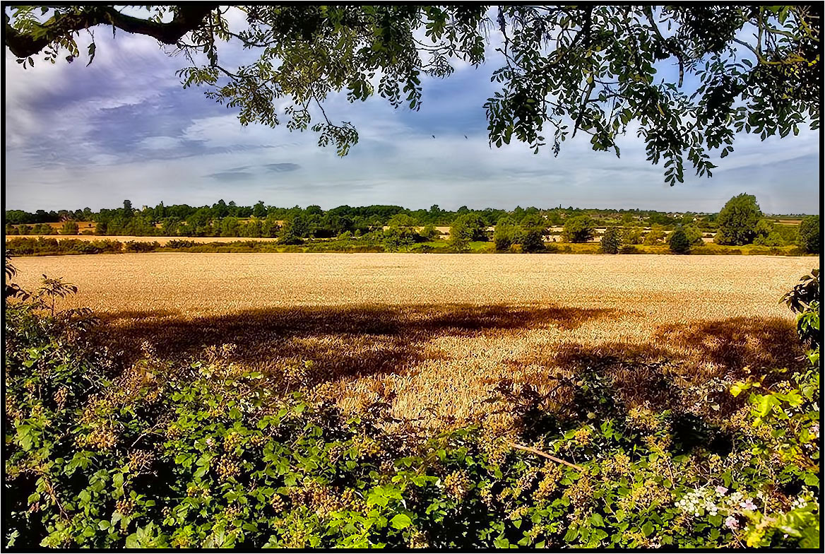
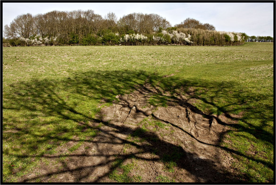
Tree Shadows.

The runner.
A Light Breeze.
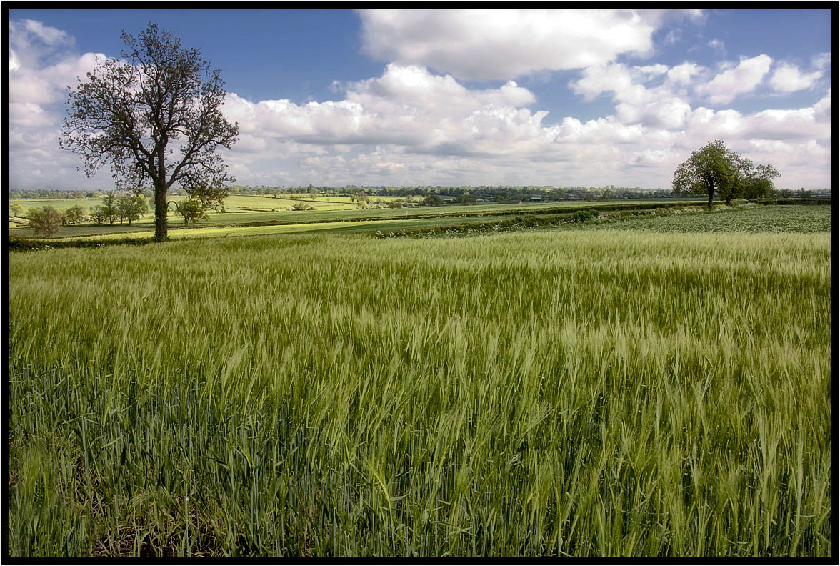
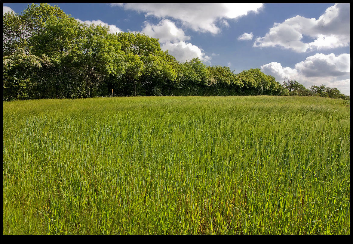
The Young Crop.
Two Crows.
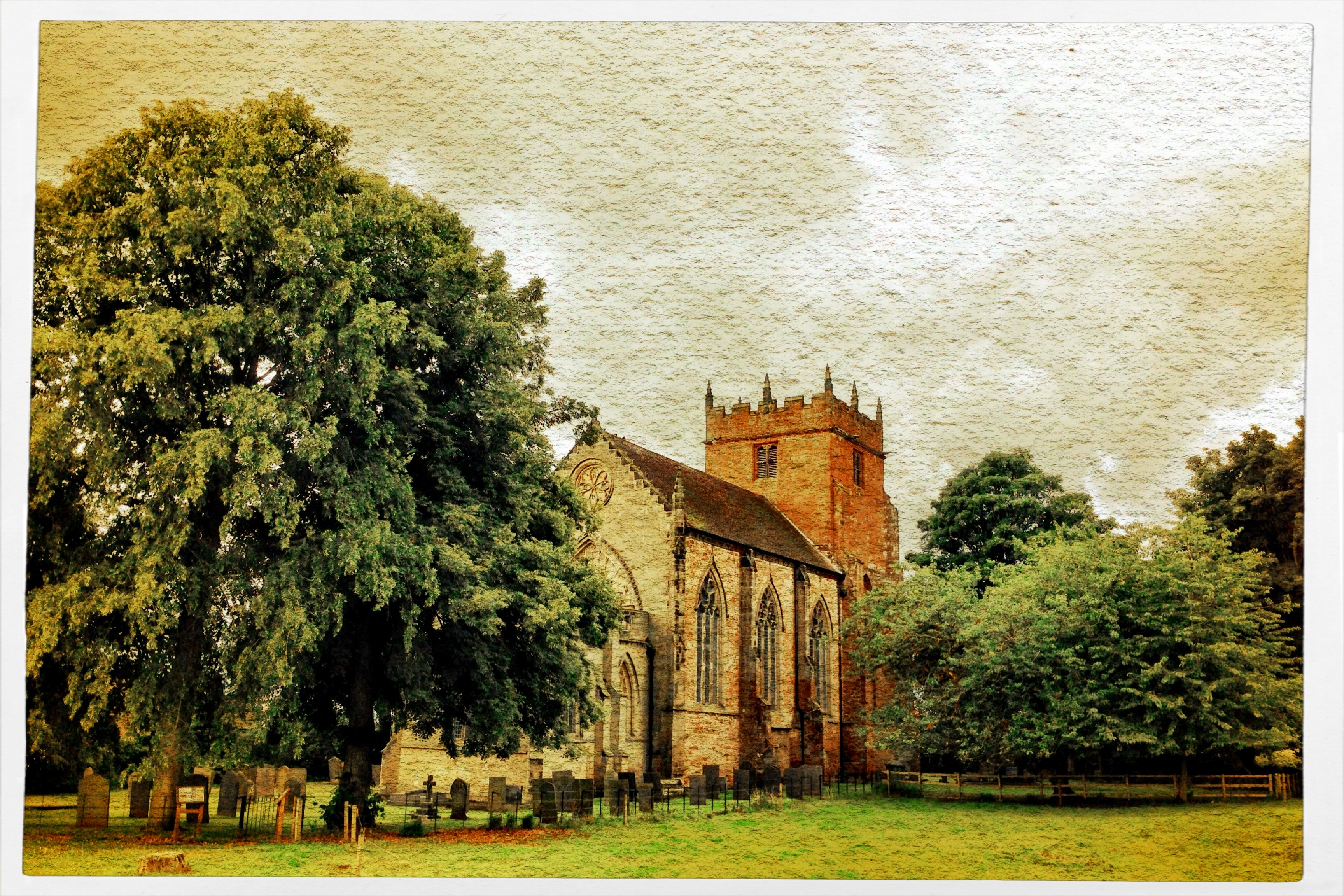
221/365 - St Mary's Church in Astley! (Finished image after Editing)
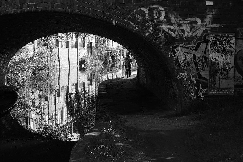
Urban Palette: Cash's Lane Bridge Whitley Coventry Canal West Midlands UK
The Shadow.
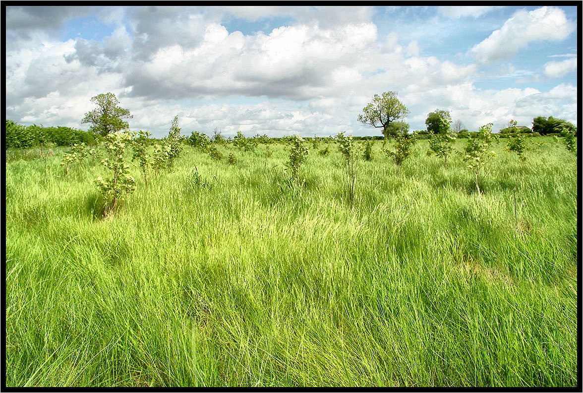
New woodland.
250/365
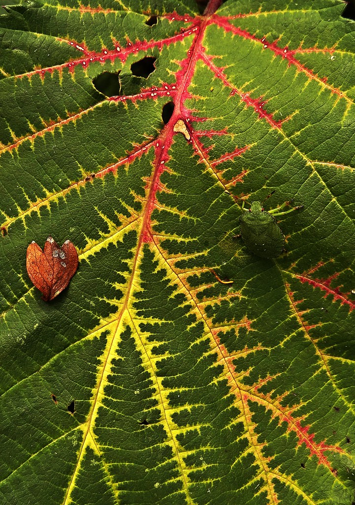
Autumnal 10
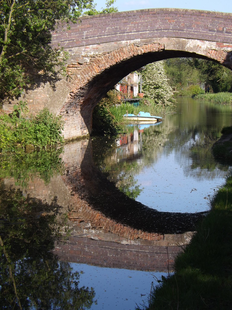
Canal Bridge reflection
293/365
The Lonely One.
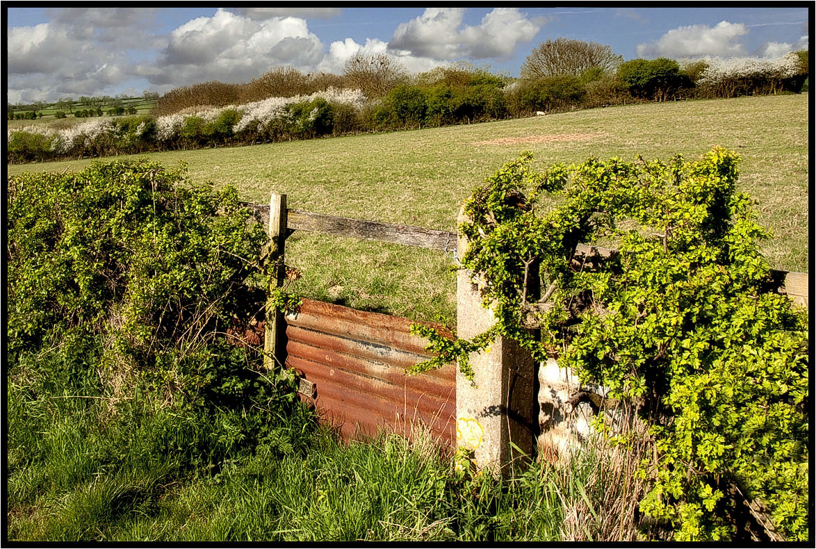
The Footpath Gate.
359/365
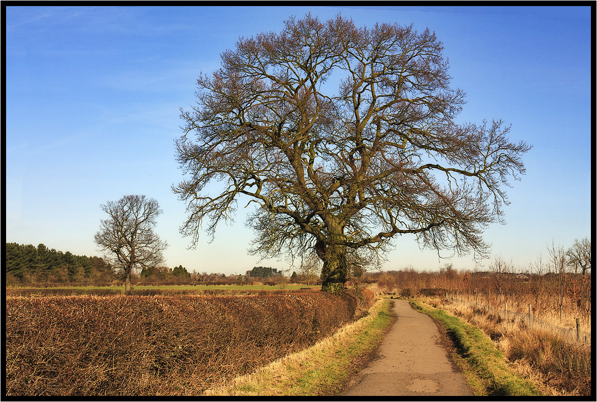
The Tree
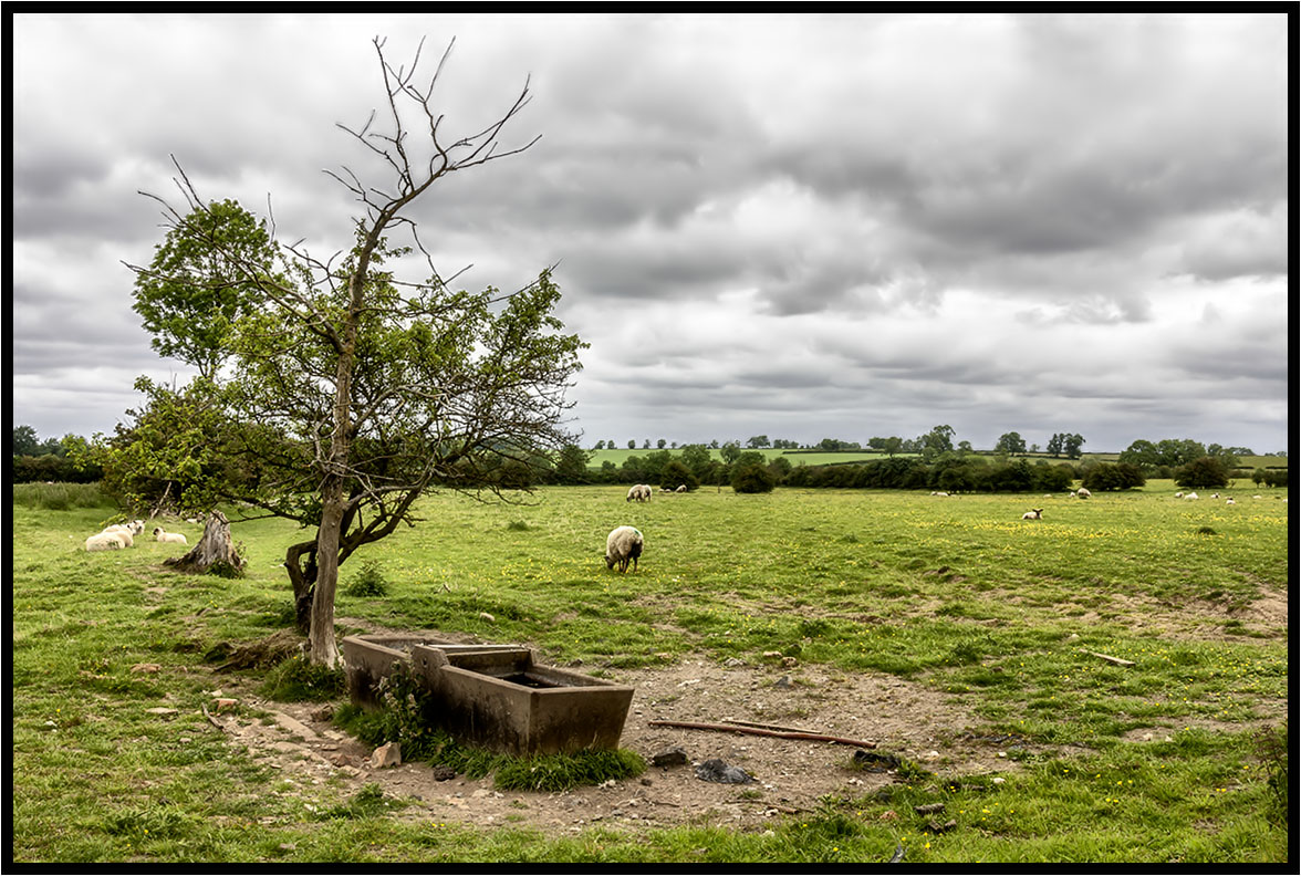
The Water Trough
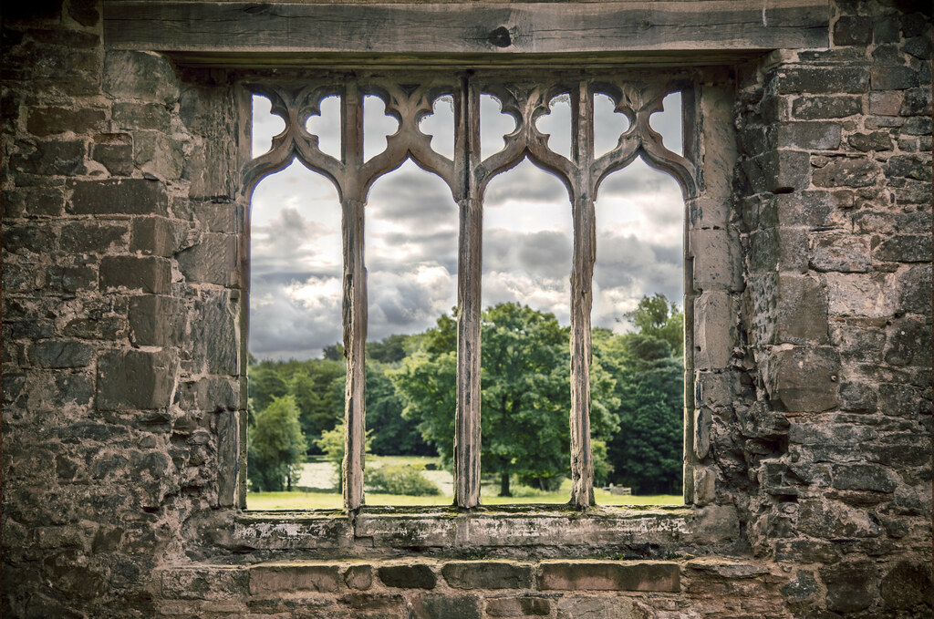
Room with a View 208/365
Topographic Map of Burbage, Hinckley LE10, UK
Find elevation by address:

Places in Burbage, Hinckley LE10, UK:
Places near Burbage, Hinckley LE10, UK:
Le10 2as
Le10 2jh
2 Castle St, Hinckley LE10 1DB, UK
Hinckley
Le9 8dg
Earl Shilton
4 George Foster Cl, Earl Shilton, Leicester LE9 7RR, UK
Kirkby House
Kirkby Mallory
Honeysuckle Cottage
Monks Kirby
Botcheston
1 Markfield Ln, Botcheston, Leicester LE9 9FH, UK
27 The Oval, Nailstone, Nuneaton CV13 0QD, UK
Nailstone
Cv8 3hu
Swift Park
Lutterworth
Parkend
Cv21 2nh
Recent Searches:
- Elevation of Corso Fratelli Cairoli, 35, Macerata MC, Italy
- Elevation of Tallevast Rd, Sarasota, FL, USA
- Elevation of 4th St E, Sonoma, CA, USA
- Elevation of Black Hollow Rd, Pennsdale, PA, USA
- Elevation of Oakland Ave, Williamsport, PA, USA
- Elevation of Pedrógão Grande, Portugal
- Elevation of Klee Dr, Martinsburg, WV, USA
- Elevation of Via Roma, Pieranica CR, Italy
- Elevation of Tavkvetili Mountain, Georgia
- Elevation of Hartfords Bluff Cir, Mt Pleasant, SC, USA