Elevation of Beverly, IL, USA
Location: United States > Illinois > Adams County > Beverly Township >
Longitude: -90.9909674
Latitude: 39.7933805
Elevation: 254m / 833feet
Barometric Pressure: 0KPa
Related Photos:
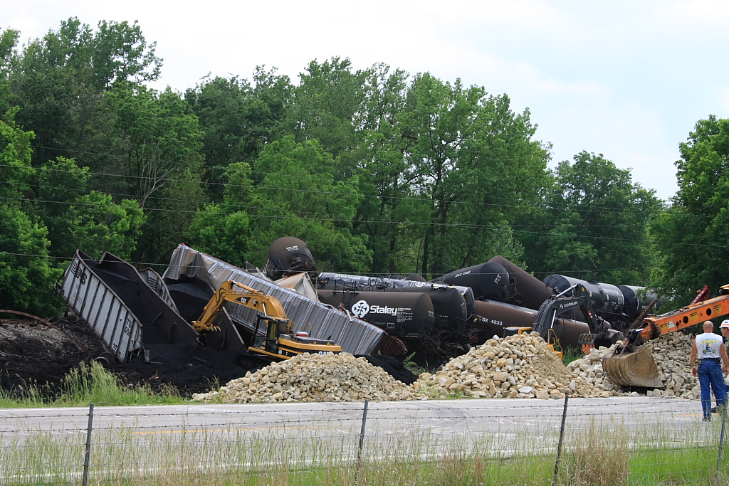
Magner #398 Derailment - #3
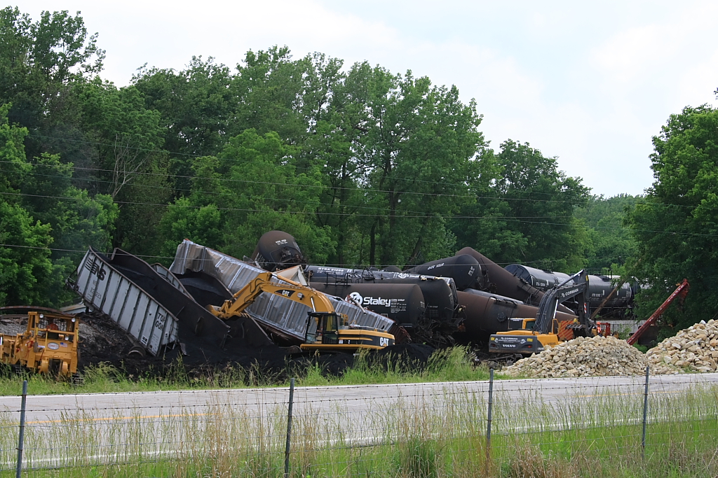
Magner #398 Derailment - #5

Above the Campfire
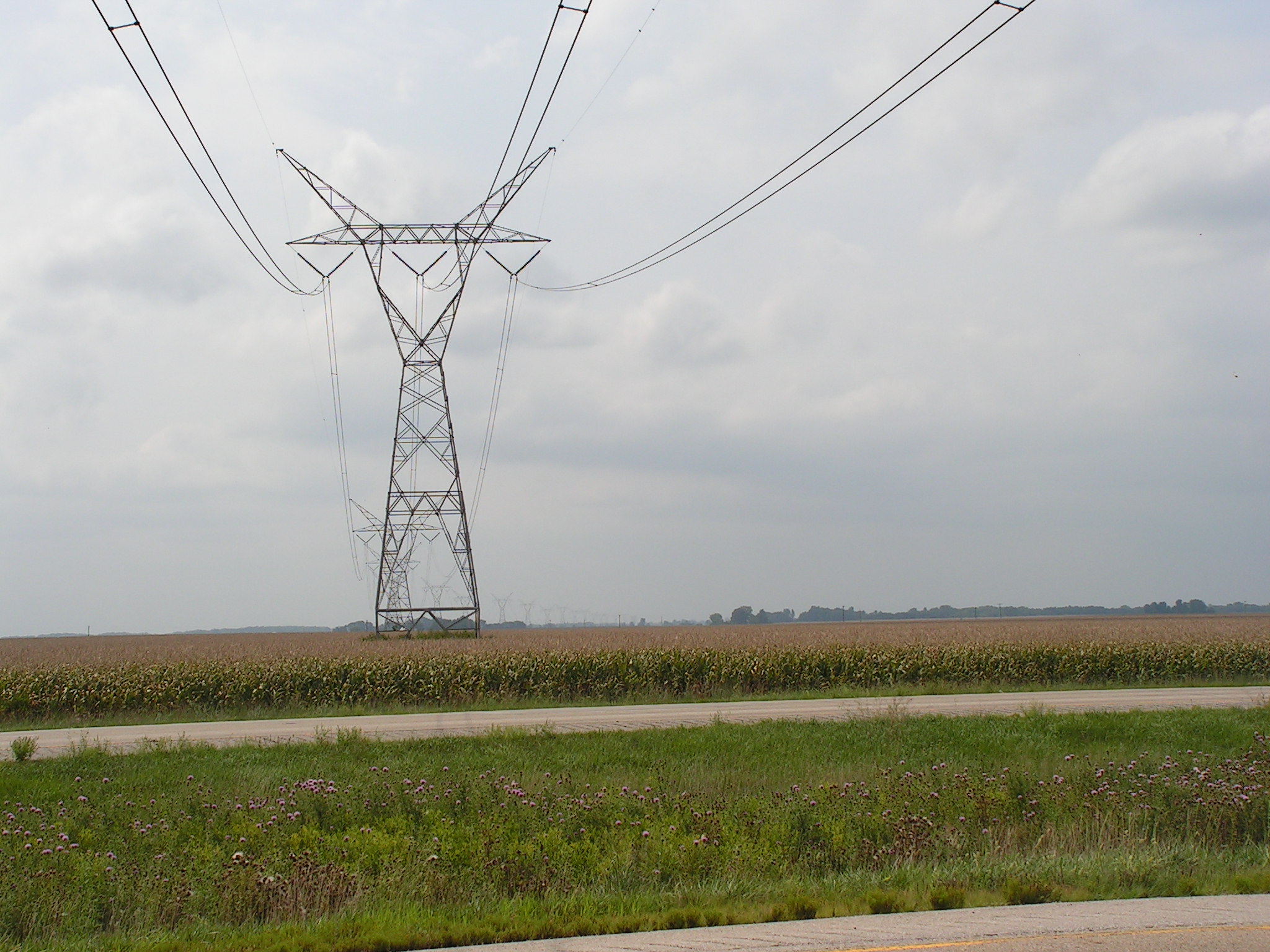
Towers of Power 5

Pines Aglow
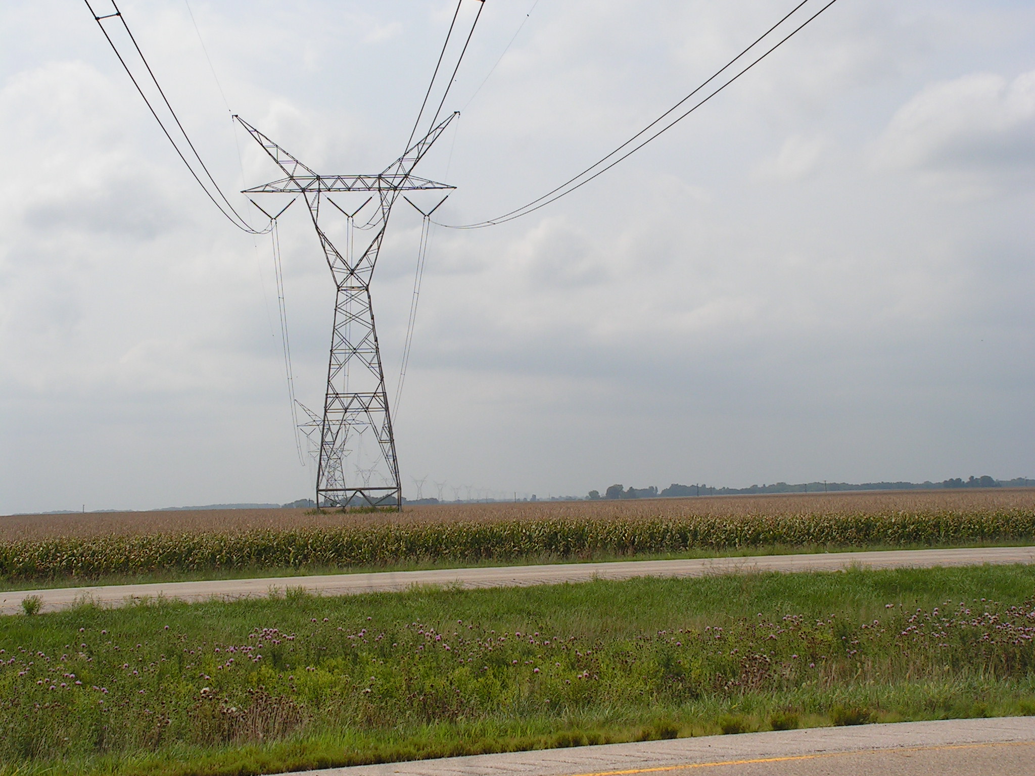
Towers of Power 4

Converging Pines

Day's End

Quiet Getaway

Warmth and Peace (Explored)
Camera Roll-688
Topographic Map of Beverly, IL, USA
Find elevation by address:

Places in Beverly, IL, USA:
Places near Beverly, IL, USA:
E th St, Barry, IL, USA
186 E 2700th St
Beverly Township
Richfield Township
Liberty Township
E th St, Plainville, IL, USA
Liberty
Hannibal St, Liberty, IL, USA
E th St, Clayton, IL, USA
New Salem Township
Concord Township
New Salem
Columbus Township
Pleasant Vale Township
Main St, New Canton, IL, USA
New Canton
Payson Township
Buckhorn
23681 230th St
Burton Township
Recent Searches:
- Elevation of 10370, West 107th Circle, Westminster, Jefferson County, Colorado, 80021, USA
- Elevation of 611, Roman Road, Old Ford, Bow, London, England, E3 2RW, United Kingdom
- Elevation of 116, Beartown Road, Underhill, Chittenden County, Vermont, 05489, USA
- Elevation of Window Rock, Colfax County, New Mexico, 87714, USA
- Elevation of 4807, Rosecroft Street, Kempsville Gardens, Virginia Beach, Virginia, 23464, USA
- Elevation map of Matawinie, Quebec, Canada
- Elevation of Sainte-Émélie-de-l'Énergie, Matawinie, Quebec, Canada
- Elevation of Rue du Pont, Sainte-Émélie-de-l'Énergie, Matawinie, Quebec, J0K2K0, Canada
- Elevation of 8, Rue de Bécancour, Blainville, Thérèse-De Blainville, Quebec, J7B1N2, Canada
- Elevation of Wilmot Court North, 163, University Avenue West, Northdale, Waterloo, Region of Waterloo, Ontario, N2L6B6, Canada
- Elevation map of Panamá Province, Panama
- Elevation of Balboa, Panamá Province, Panama
- Elevation of San Miguel, Balboa, Panamá Province, Panama
- Elevation of Isla Gibraleón, San Miguel, Balboa, Panamá Province, Panama
- Elevation of 4655, Krischke Road, Schulenburg, Fayette County, Texas, 78956, USA
- Elevation of Carnegie Avenue, Downtown Cleveland, Cleveland, Cuyahoga County, Ohio, 44115, USA
- Elevation of Walhonding, Coshocton County, Ohio, USA
- Elevation of Clifton Down, Clifton, Bristol, City of Bristol, England, BS8 3HU, United Kingdom
- Elevation map of Auvergne-Rhône-Alpes, France
- Elevation map of Upper Savoy, Auvergne-Rhône-Alpes, France