Elevation of Beverly Township, IL, USA
Location: United States > Illinois > Adams County >
Longitude: -90.9629523
Latitude: 39.7921767
Elevation: 243m / 797feet
Barometric Pressure: 0KPa
Related Photos:
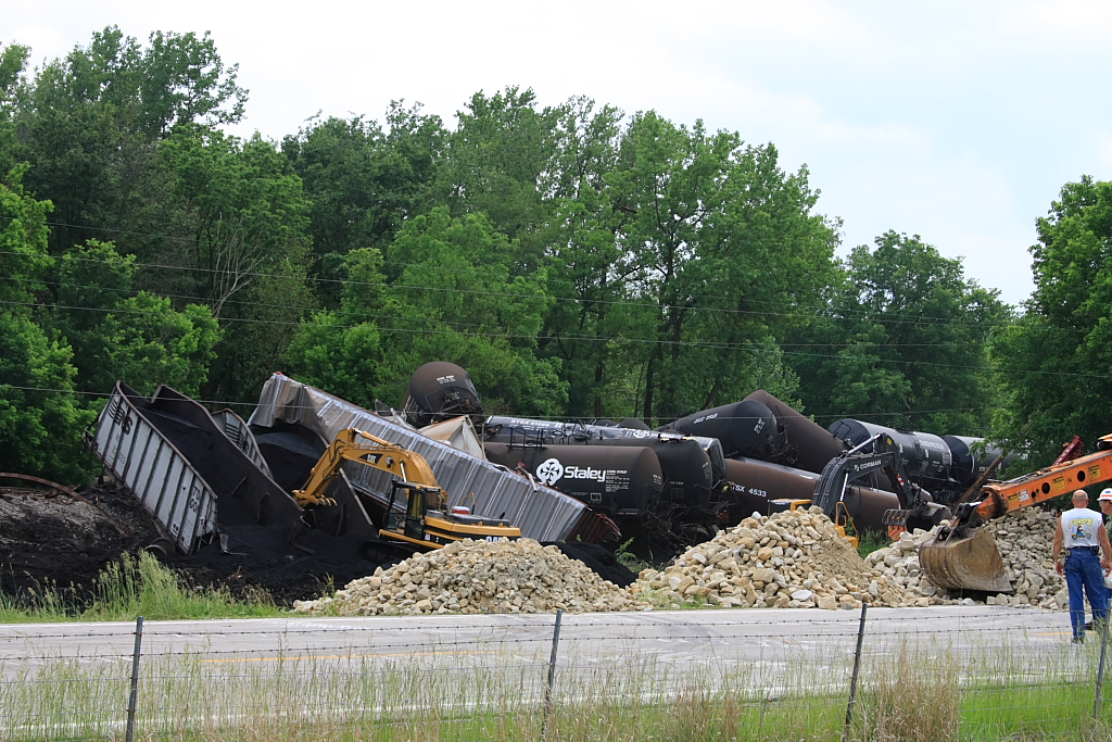
Magner #398 Derailment - #3
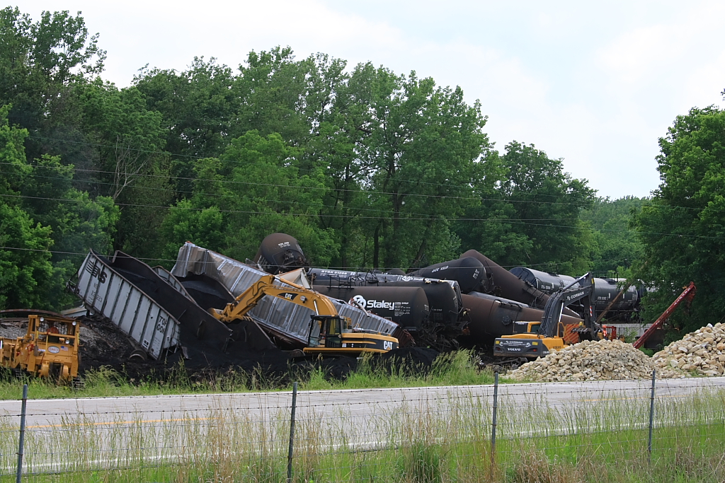
Magner #398 Derailment - #5
Above the Campfire
Towers of Power 5
Pines Aglow
Towers of Power 4
Converging Pines

Day's End
Quiet Getaway
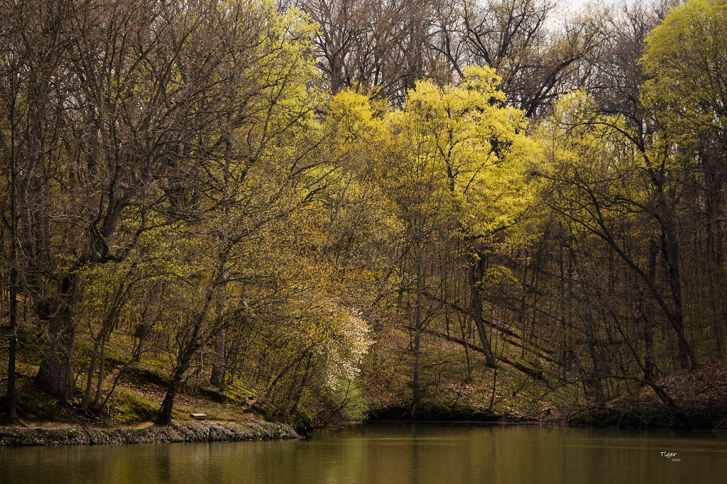
Warmth and Peace (Explored)
Camera Roll-688
Topographic Map of Beverly Township, IL, USA
Find elevation by address:

Places in Beverly Township, IL, USA:
Places near Beverly Township, IL, USA:
E th St, Barry, IL, USA
Beverly
186 E 2700th St
Richfield Township
New Salem Township
Liberty Township
E th St, Clayton, IL, USA
New Salem
E th St, Plainville, IL, USA
Concord Township
Liberty
Hannibal St, Liberty, IL, USA
Buckhorn
Columbus Township
Pittsfield Township
Lee Township
Pleasant Vale Township
Main St, New Canton, IL, USA
New Canton
Perry
Recent Searches:
- Elevation of 4655, Krischke Road, Schulenburg, Fayette County, Texas, 78956, USA
- Elevation of Carnegie Avenue, Downtown Cleveland, Cleveland, Cuyahoga County, Ohio, 44115, USA
- Elevation of Walhonding, Coshocton County, Ohio, USA
- Elevation of Clifton Down, Clifton, Bristol, City of Bristol, England, BS8 3HU, United Kingdom
- Elevation map of Auvergne-Rhône-Alpes, France
- Elevation map of Upper Savoy, Auvergne-Rhône-Alpes, France
- Elevation of Chamonix-Mont-Blanc, Upper Savoy, Auvergne-Rhône-Alpes, France
- Elevation of 908, Northwood Drive, Bridge Field, Chesapeake, Virginia, 23322, USA
- Elevation map of Nagano Prefecture, Japan
- Elevation of 587, Bascule Drive, Oakdale, Stanislaus County, California, 95361, USA
- Elevation of Stadion Wankdorf, Sempachstrasse, Breitfeld, Bern, Bern-Mittelland administrative district, Bern, 3014, Switzerland
- Elevation of Z024, 76, Emil-von-Behring-Straße, Marbach, Marburg, Landkreis Marburg-Biedenkopf, Hesse, 35041, Germany
- Elevation of Gaskill Road, Hunts Cross, Liverpool, England, L24 9PH, United Kingdom
- Elevation of Speke, Liverpool, England, L24 9HD, United Kingdom
- Elevation of Seqirus, 475, Green Oaks Parkway, Holly Springs, Wake County, North Carolina, 27540, USA
- Elevation of Pasing, Munich, Bavaria, 81241, Germany
- Elevation of 24, Auburn Bay Crescent SE, Auburn Bay, Calgary, Alberta, T3M 0A6, Canada
- Elevation of Denver, 2314, Arapahoe Street, Five Points, Denver, Colorado, 80205, USA
- Elevation of Community of the Beatitudes, 2924, West 43rd Avenue, Sunnyside, Denver, Colorado, 80211, USA
- Elevation map of Litang County, Sichuan, China