Elevation of Burton Township, IL, USA
Location: United States > Illinois > Adams County >
Longitude: -91.192911
Latitude: 39.8723725
Elevation: 218m / 715feet
Barometric Pressure: 99KPa
Elevation Map:
Satellite Map:
Related Photos:
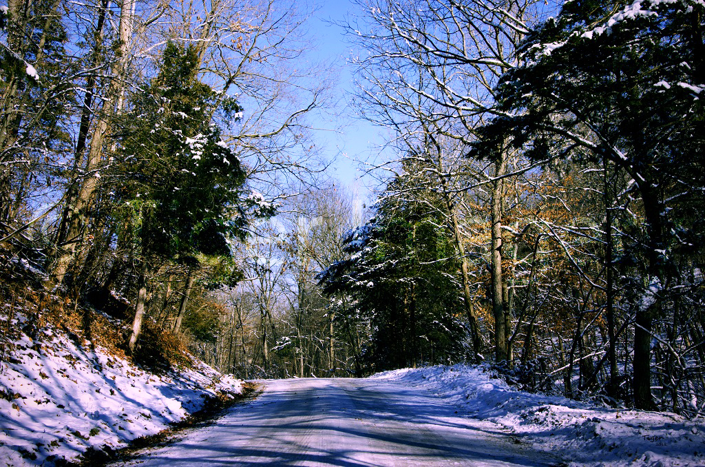
A Winter Drive

Trickle of Water

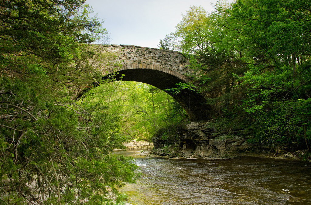
Stone Arch Bridge

Moon Over Miami

Into the Light

The Light Within
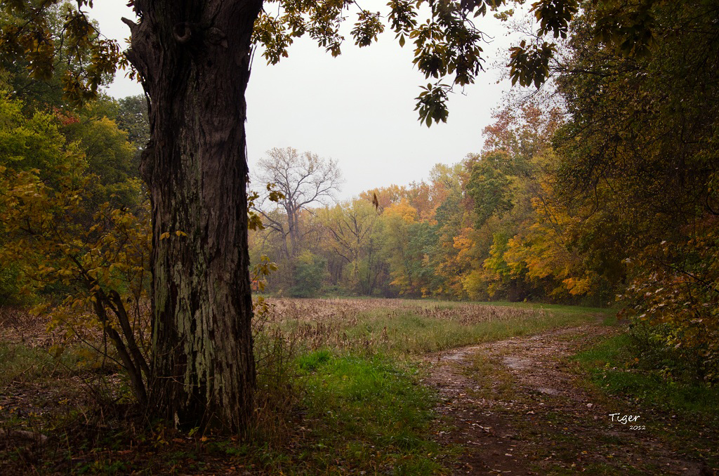
A Rainy October Day

Evening Falls

Adams County Ill 122

Fire and Water

Lost in You

Evening Light

Adams County Ill 118

Sunset walk while dog sitting with Honey #sunset #quincy #illinois #dogwalk
Fall Creek

Adams County Ill 121

Adams County Ill 102

Adams County Ill 120

Adams County Ill 117

Adams County Ill 116

Adams County Ill 104

Adams County Ill 113
Topographic Map of Burton Township, IL, USA
Find elevation by address:

Places in Burton Township, IL, USA:
Places near Burton Township, IL, USA:
N th Ave, Liberty, IL, USA
Co Rd 5, Quincy, IL, USA
S Main St, Payson, IL, USA
Payson
209 W Perkins St
Payson Township
Hannibal St, Liberty, IL, USA
Liberty
E th St, Plainville, IL, USA
N th Ave, Fowler, IL, USA
Liberty Township
Gilmer Township
Columbus
E Liberty St, Camp Point, IL, USA
Richfield Township
Columbus Township
E th St, Paloma, IL, USA
Paloma
Fowler
Melrose Township
Recent Searches:
- Elevation of Corso Fratelli Cairoli, 35, Macerata MC, Italy
- Elevation of Tallevast Rd, Sarasota, FL, USA
- Elevation of 4th St E, Sonoma, CA, USA
- Elevation of Black Hollow Rd, Pennsdale, PA, USA
- Elevation of Oakland Ave, Williamsport, PA, USA
- Elevation of Pedrógão Grande, Portugal
- Elevation of Klee Dr, Martinsburg, WV, USA
- Elevation of Via Roma, Pieranica CR, Italy
- Elevation of Tavkvetili Mountain, Georgia
- Elevation of Hartfords Bluff Cir, Mt Pleasant, SC, USA