Elevation of Bath Township, MN, USA
Location: United States > Minnesota > Freeborn County >
Longitude: -93.359044
Latitude: 43.7989954
Elevation: 406m / 1332feet
Barometric Pressure: 97KPa
Elevation Map:
Satellite Map:
Related Photos:
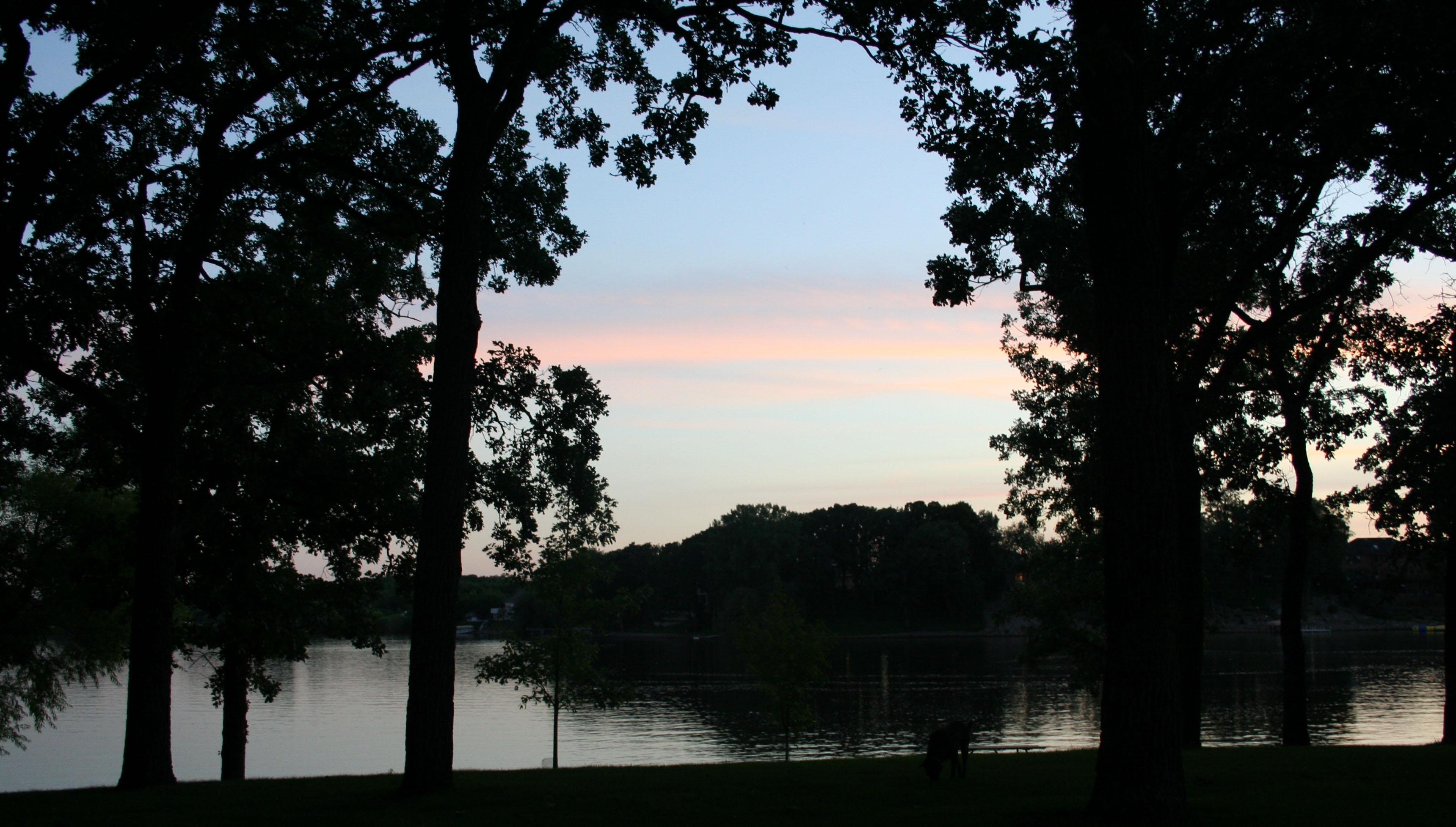
Fountain Lake View
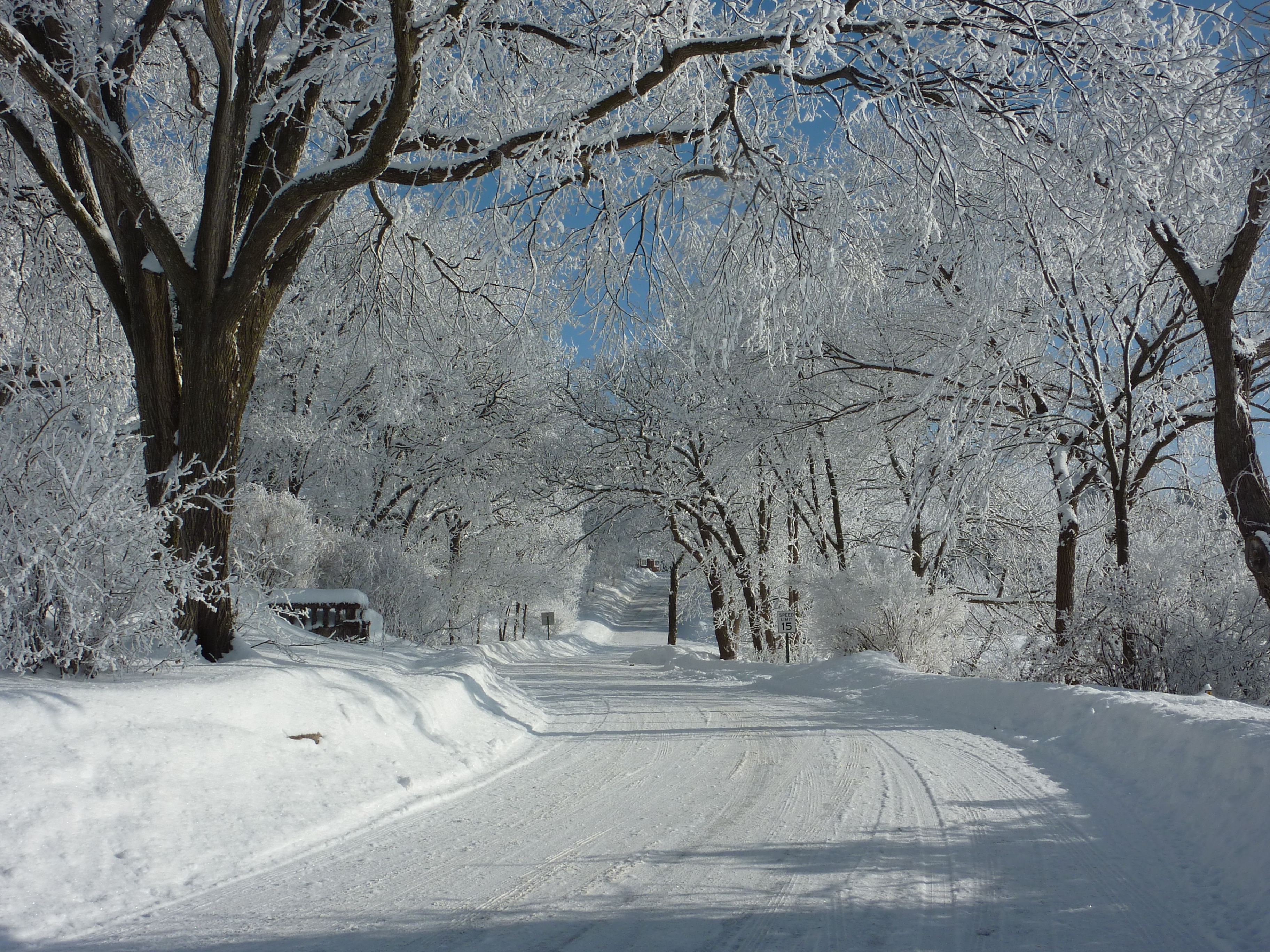
View of lake road with snow covered tree branches
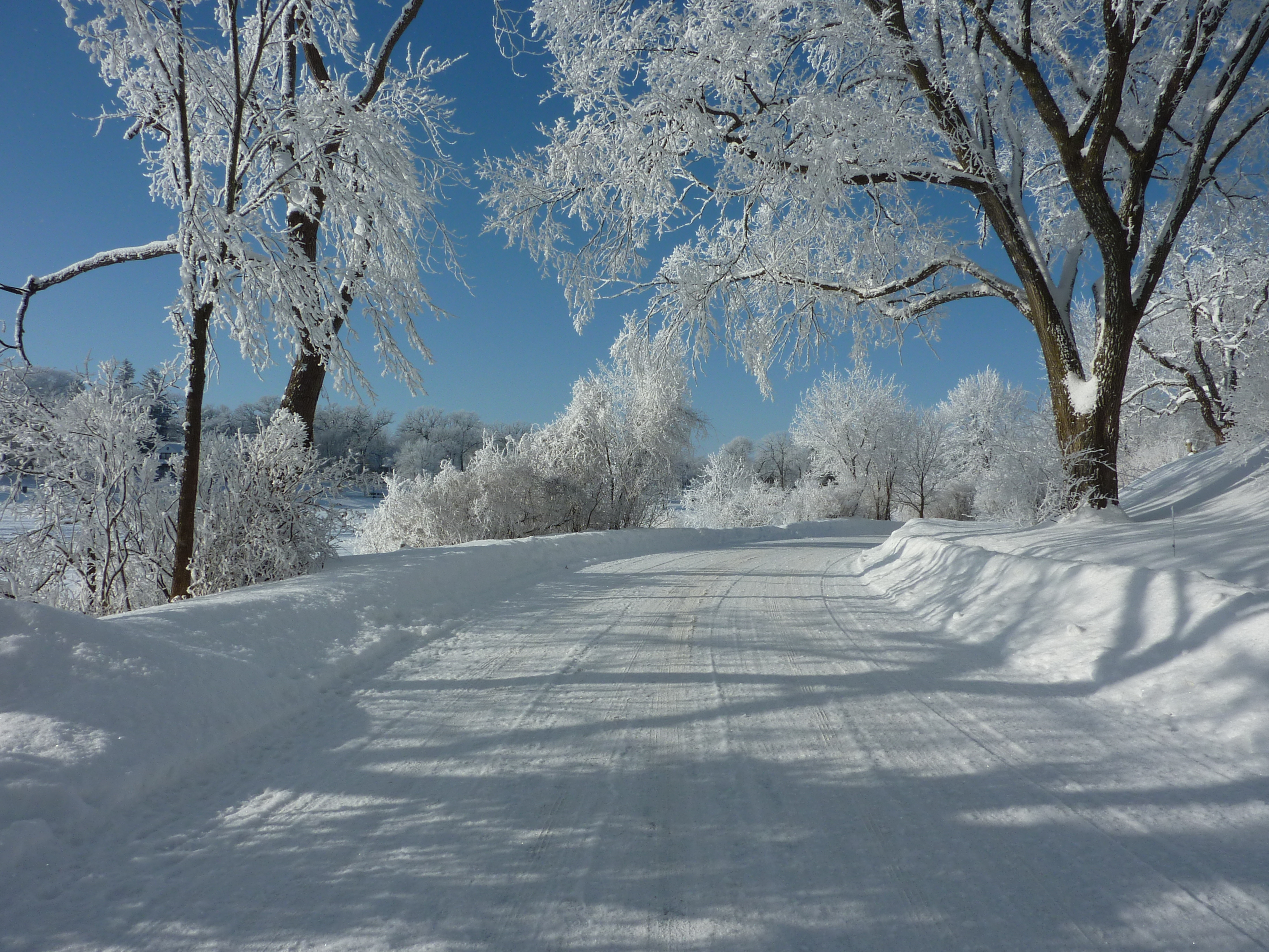
View of lake road with snow covered tree branches 2
Pareidolia rabbit/trees
View Across I-35 on Old U.S. 65

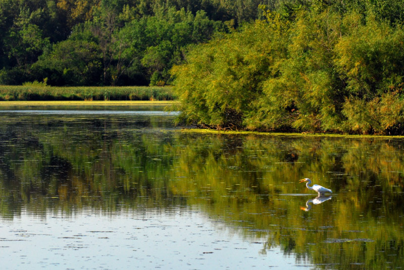
Another View of the Green Heron

South View of South Pavilion

North View of South Pavilion
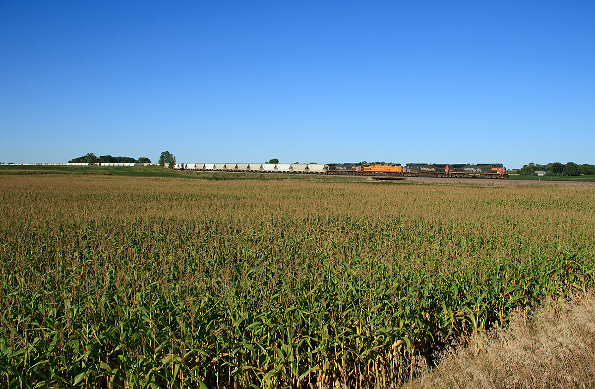
UP Sand Train
Bancroft Bay Park

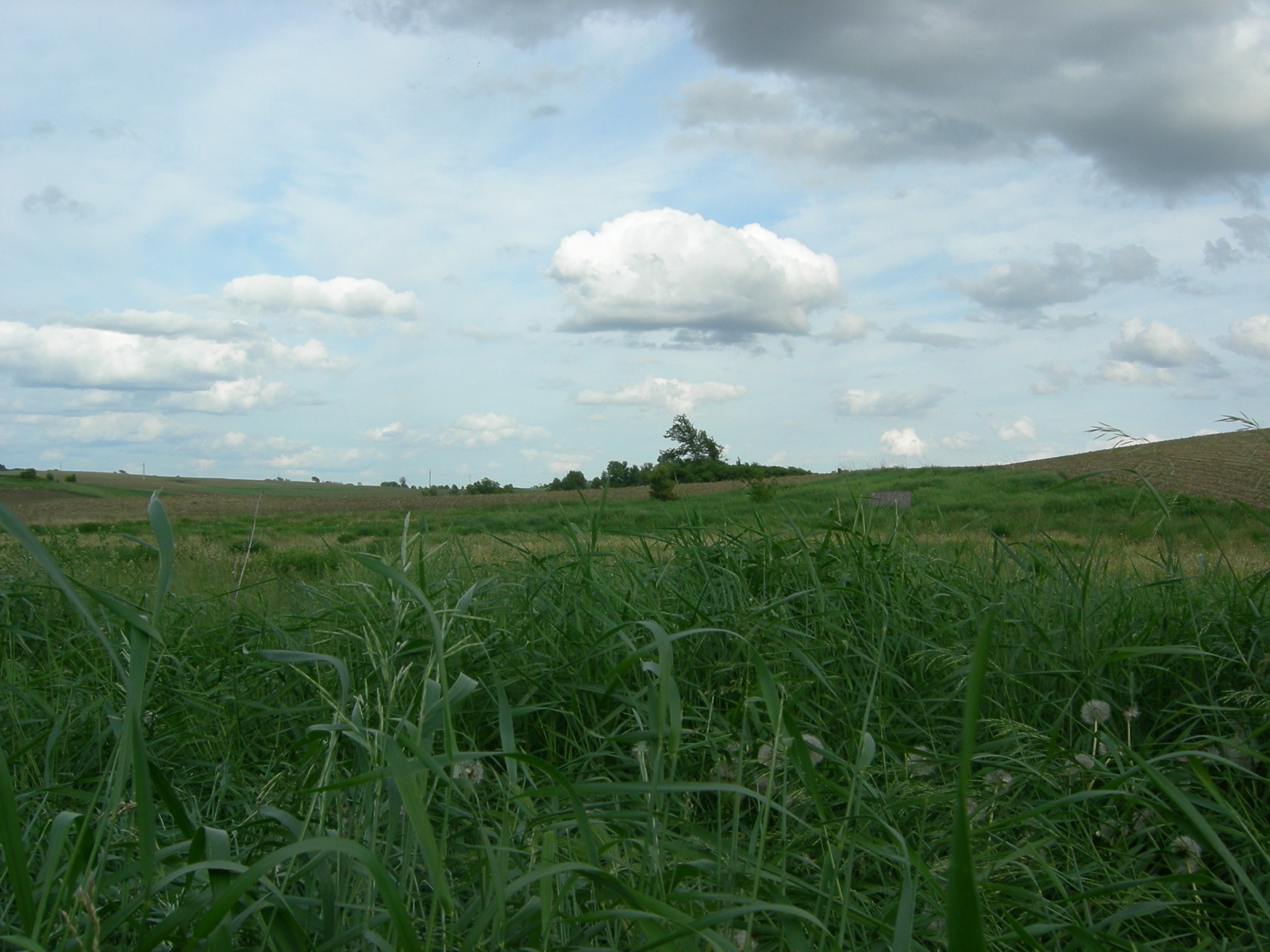
128/365: Southern Minnesota Sky
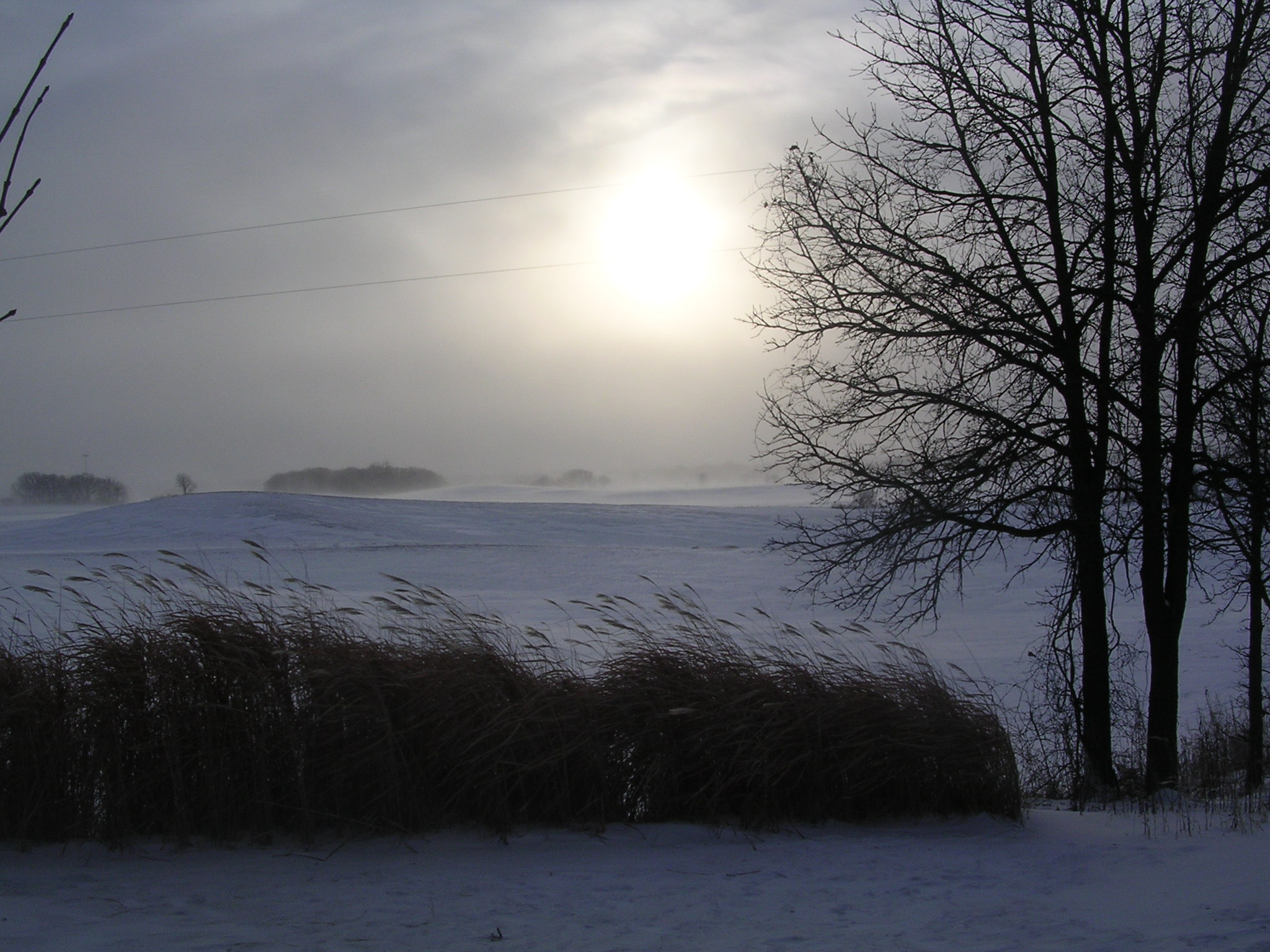
Arctic Visits Minnesota
Albert Lea, Minnesota --- June 2008

Albert Lea, Minnesota --- June 2008
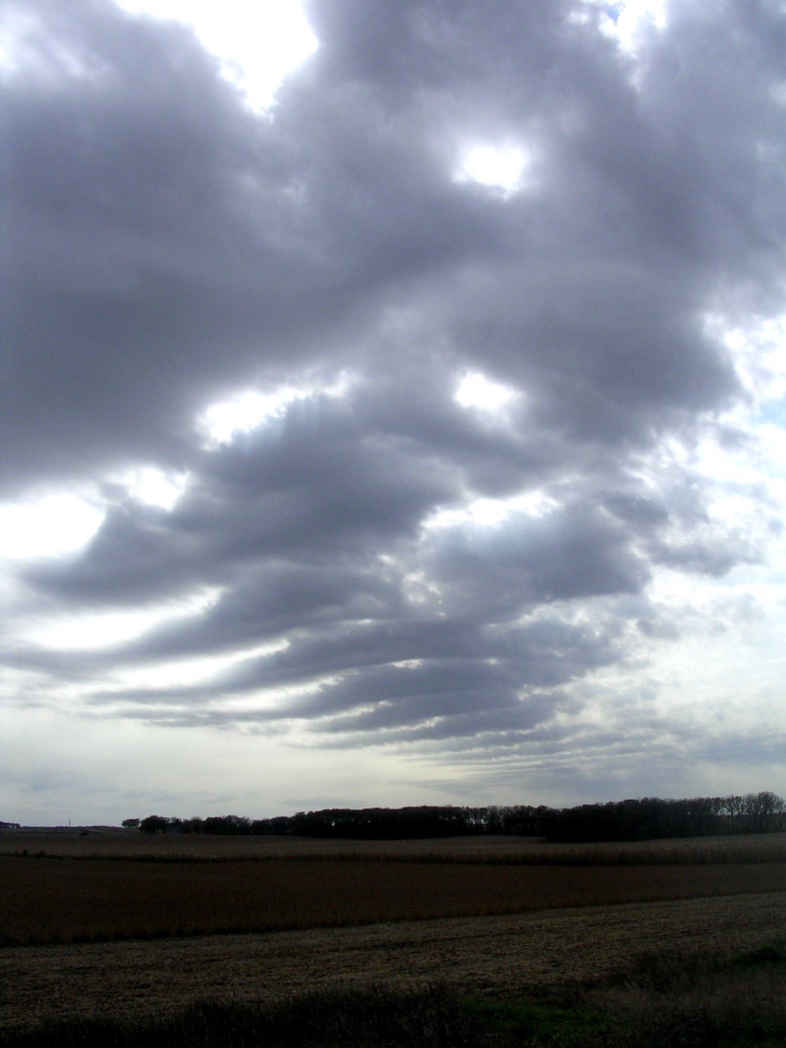
Cloud Pattern
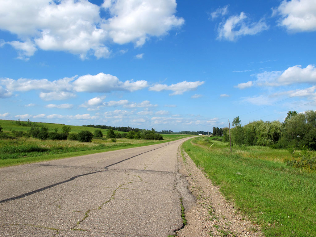
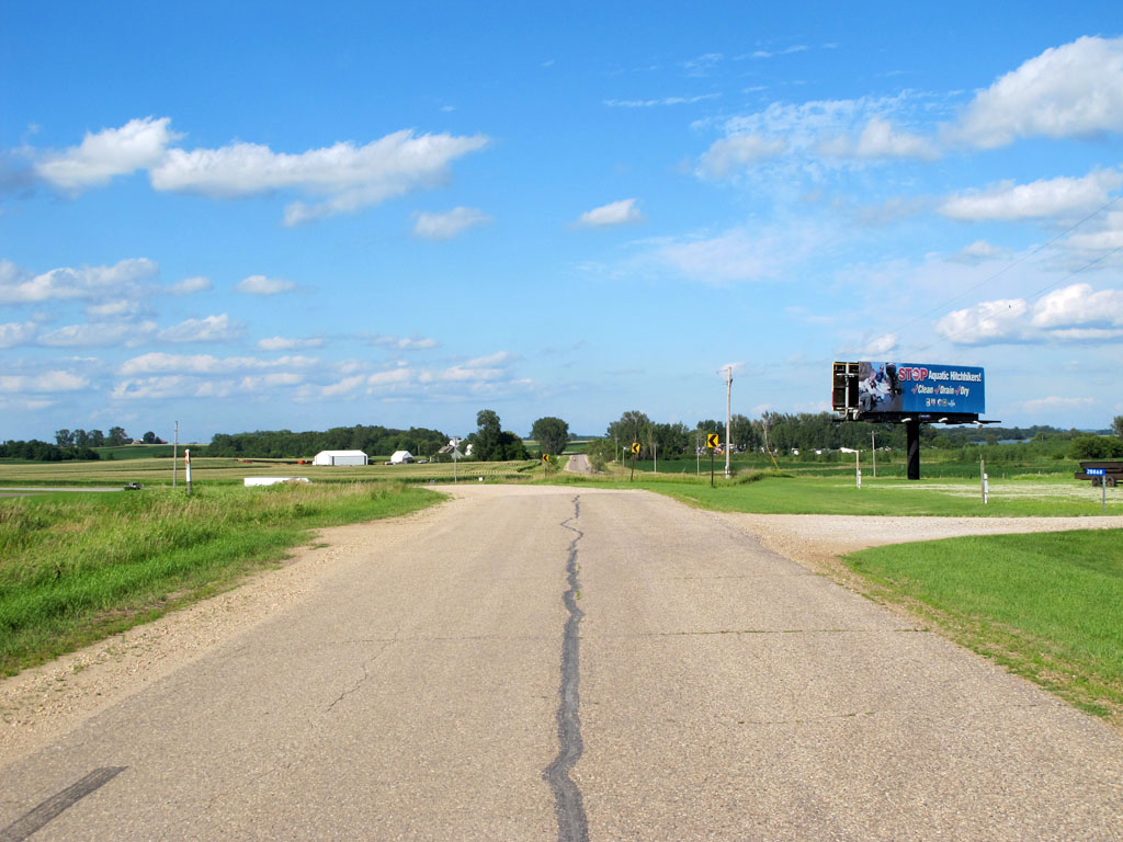
Old U.S. 65 North of Clarks Grove

City Beach

Bancroft Channel

Ginkel Park

Dudley Store From the South.

Edgewater Park
Albert Lea, Minnesota --- June 2008

Sorenson Construction North of Walmart on County Rd 45

Albert Lea, Minnesota --- June 2008

Former Location of Oakwood Elementary School - Now Condos

City Beach

JM Snyder Park

Bancroft Bay Park
Topographic Map of Bath Township, MN, USA
Find elevation by address:

Places in Bath Township, MN, USA:
Places near Bath Township, MN, USA:
th Ave, Hartland, MN, USA
702 Simplicity Dr
Ellendale
Freeborn County
Stevens Street
117 N Newton Ave
Albert Lea
606 E 4th St
1325 Se Broadway Ave
8801 Sw 88th St
th Ave, Albert Lea, MN, USA
SW 37th Ave, Hope, MN, USA
17279 740th Ave
Albert Lea Township
th Ave, Albert Lea, MN, USA
Freeborn
5th Ave, Hartland, MN, USA
Alden
Steele County
S Broadway Ave, Alden, MN, USA
Recent Searches:
- Elevation of Corso Fratelli Cairoli, 35, Macerata MC, Italy
- Elevation of Tallevast Rd, Sarasota, FL, USA
- Elevation of 4th St E, Sonoma, CA, USA
- Elevation of Black Hollow Rd, Pennsdale, PA, USA
- Elevation of Oakland Ave, Williamsport, PA, USA
- Elevation of Pedrógão Grande, Portugal
- Elevation of Klee Dr, Martinsburg, WV, USA
- Elevation of Via Roma, Pieranica CR, Italy
- Elevation of Tavkvetili Mountain, Georgia
- Elevation of Hartfords Bluff Cir, Mt Pleasant, SC, USA