Elevation of th Ave, Hartland, MN, USA
Location: United States > Minnesota > Freeborn County > Bath Township >
Longitude: -93.390759
Latitude: 43.8346425
Elevation: 388m / 1273feet
Barometric Pressure: 97KPa
Elevation Map:
Satellite Map:
Related Photos:
Pareidolia rabbit/trees
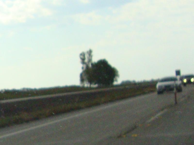
View Across I-35 on Old U.S. 65
IMAG0296.jpg

IMG_9069.jpg
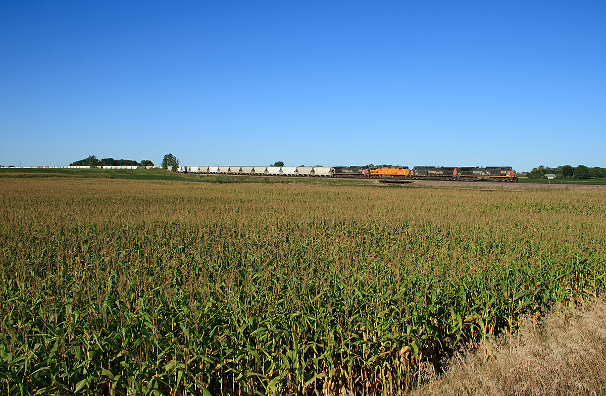
UP Sand Train

128/365: Southern Minnesota Sky
Albert Lea, Minnesota --- June 2008

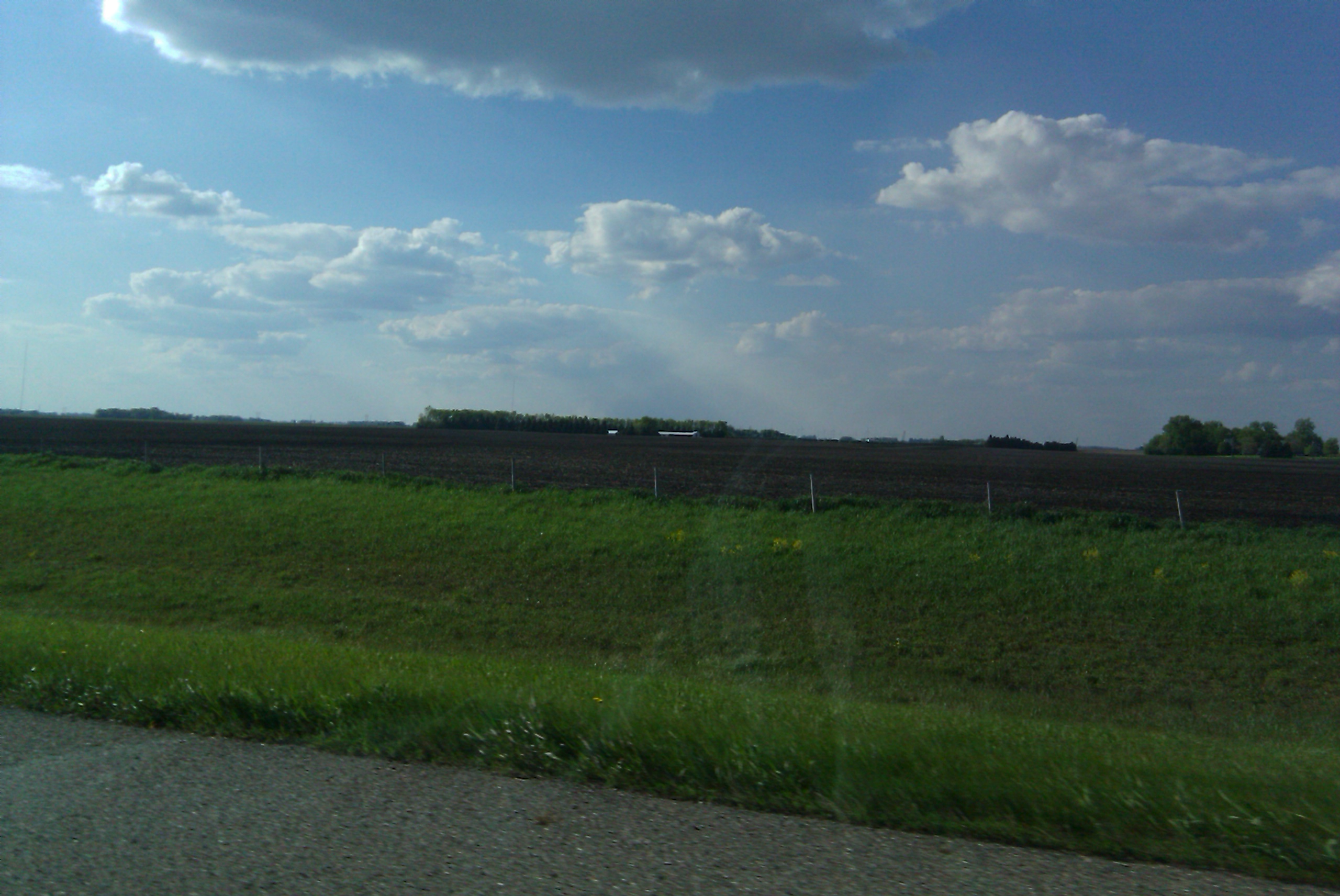
Cloud Pattern
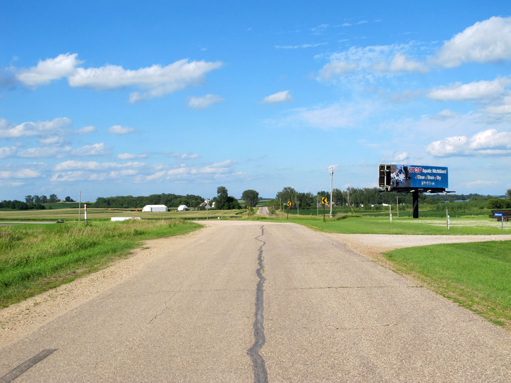
Old U.S. 65 North of Clarks Grove
Albert Lea, Minnesota --- June 2008

Albert Lea, Minnesota --- June 2008

southern minnesota

Albert Lea, Minnesota --- June 2008
Topographic Map of th Ave, Hartland, MN, USA
Find elevation by address:

Places near th Ave, Hartland, MN, USA:
Bath Township
702 Simplicity Dr
Ellendale
8801 Sw 88th St
SW 37th Ave, Hope, MN, USA
Freeborn County
117 N Newton Ave
Stevens Street
th Ave, Albert Lea, MN, USA
Freeborn
5th Ave, Hartland, MN, USA
Albert Lea
606 E 4th St
1325 Se Broadway Ave
17279 740th Ave
Meriden Township
Woodville Township
Albert Lea Township
th Ave, Albert Lea, MN, USA
Alden
Recent Searches:
- Elevation of Corso Fratelli Cairoli, 35, Macerata MC, Italy
- Elevation of Tallevast Rd, Sarasota, FL, USA
- Elevation of 4th St E, Sonoma, CA, USA
- Elevation of Black Hollow Rd, Pennsdale, PA, USA
- Elevation of Oakland Ave, Williamsport, PA, USA
- Elevation of Pedrógão Grande, Portugal
- Elevation of Klee Dr, Martinsburg, WV, USA
- Elevation of Via Roma, Pieranica CR, Italy
- Elevation of Tavkvetili Mountain, Georgia
- Elevation of Hartfords Bluff Cir, Mt Pleasant, SC, USA