Elevation of N Newton Ave, Albert Lea, MN, USA
Location: United States > Minnesota > Freeborn County > Albert Lea >
Longitude: -93.367786
Latitude: 43.6503174
Elevation: 377m / 1237feet
Barometric Pressure: 97KPa
Elevation Map:
Satellite Map:
Related Photos:
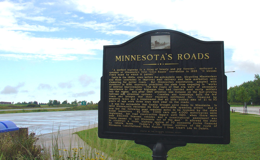
Minnesota's Roads marker, 8 Sept 2005

Welcome to Minnesota marker, 8 Sept 2005

Milwaukee Road depot
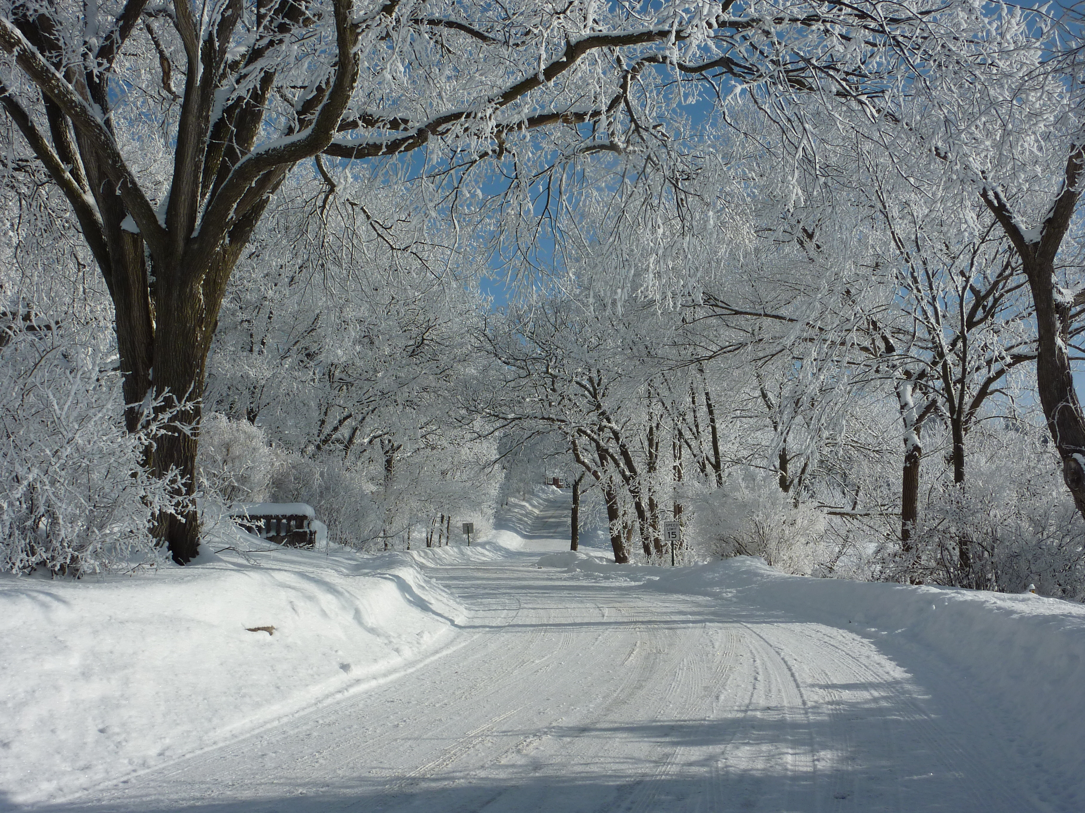
View of lake road with snow covered tree branches

View of Fountain Lake from Bridge Avenue, Albert Lea

Broad View

Fountain Lake View

View of lake road with snow covered tree branches 2

Another View of the Green Heron

View Across I-35 on Old U.S. 65

Flooded Trail at Myre-Big Island State Park, Minnesota
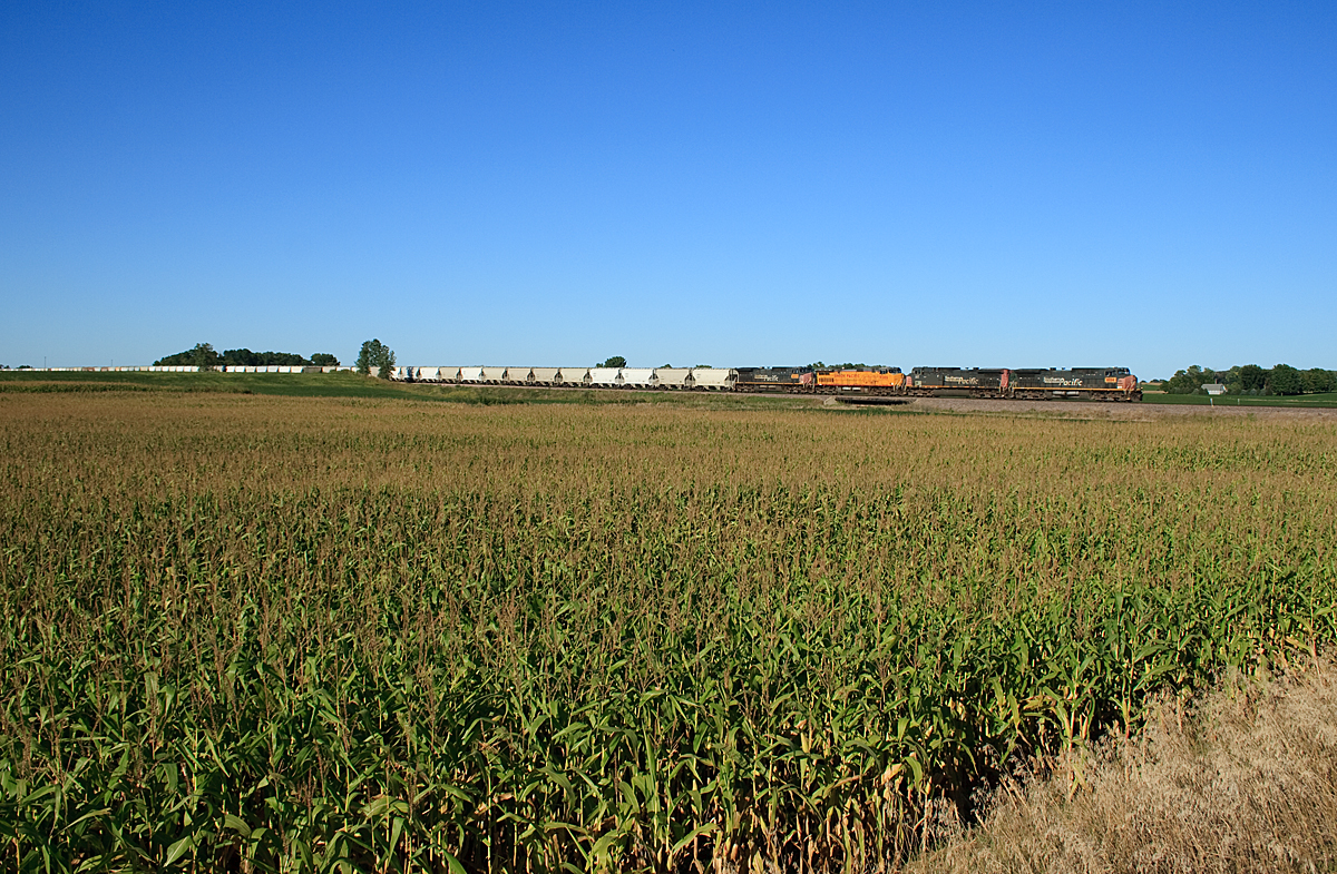
UP Sand Train

Shell Rock River, Glenville

FOUNTAIN LAKE

End of the Pavement, Co Rd 81

Morning Mist

5-15-2011 Evening Reflections

Albert Lea Lake, Myre-Big Island State Park, Minnesota

Roadside Attraction

4-21-2011 Dawn Remastered

Frontal Cloud

minnesota barn in autumn

Friday on Fountain Lake

Garden Villa Greenspace

IMG_9069.jpg

Fountains at Sunset

Bancroft Bay Park
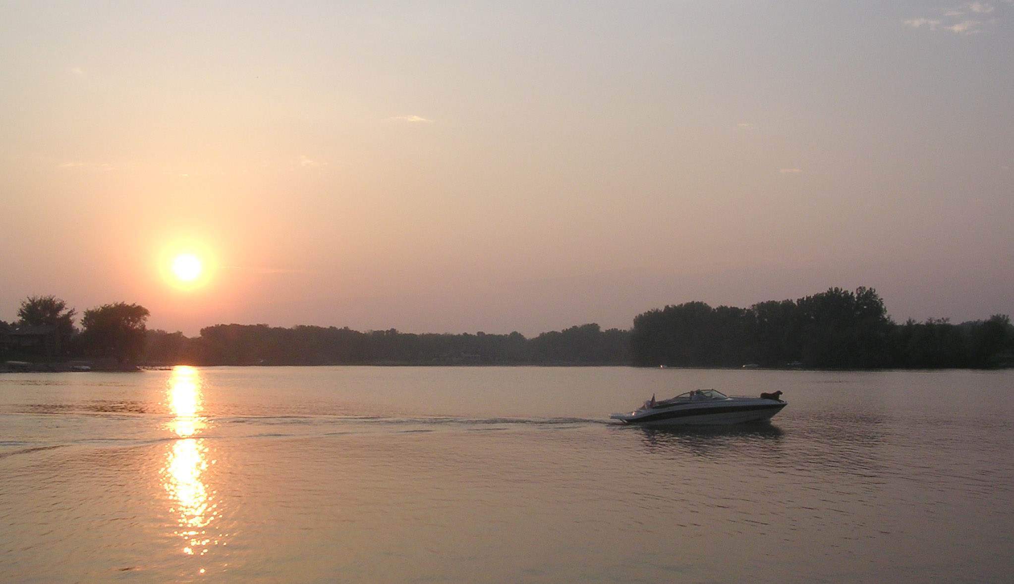
Fountain Lake Sunset

Arctic Visits Minnesota
Topographic Map of N Newton Ave, Albert Lea, MN, USA
Find elevation by address:

Places near N Newton Ave, Albert Lea, MN, USA:
Albert Lea
606 E 4th St
1325 Se Broadway Ave
Stevens Street
Freeborn County
17279 740th Ave
Albert Lea Township
th Ave, Albert Lea, MN, USA
th Ave, Albert Lea, MN, USA
Bath Township
th Ave, Hartland, MN, USA
Alden
S Broadway Ave, Alden, MN, USA
Freeborn
702 Simplicity Dr
5th Ave, Hartland, MN, USA
Ellendale
17408 T-263
8801 Sw 88th St
SW 37th Ave, Hope, MN, USA
Recent Searches:
- Elevation of Corso Fratelli Cairoli, 35, Macerata MC, Italy
- Elevation of Tallevast Rd, Sarasota, FL, USA
- Elevation of 4th St E, Sonoma, CA, USA
- Elevation of Black Hollow Rd, Pennsdale, PA, USA
- Elevation of Oakland Ave, Williamsport, PA, USA
- Elevation of Pedrógão Grande, Portugal
- Elevation of Klee Dr, Martinsburg, WV, USA
- Elevation of Via Roma, Pieranica CR, Italy
- Elevation of Tavkvetili Mountain, Georgia
- Elevation of Hartfords Bluff Cir, Mt Pleasant, SC, USA