Elevation of Steele County, MN, USA
Location: United States > Minnesota >
Longitude: -93.177965
Latitude: 43.9758523
Elevation: 377m / 1237feet
Barometric Pressure: 97KPa
Elevation Map:
Satellite Map:
Related Photos:

View looking up in the balcony

View looking up in the balcony
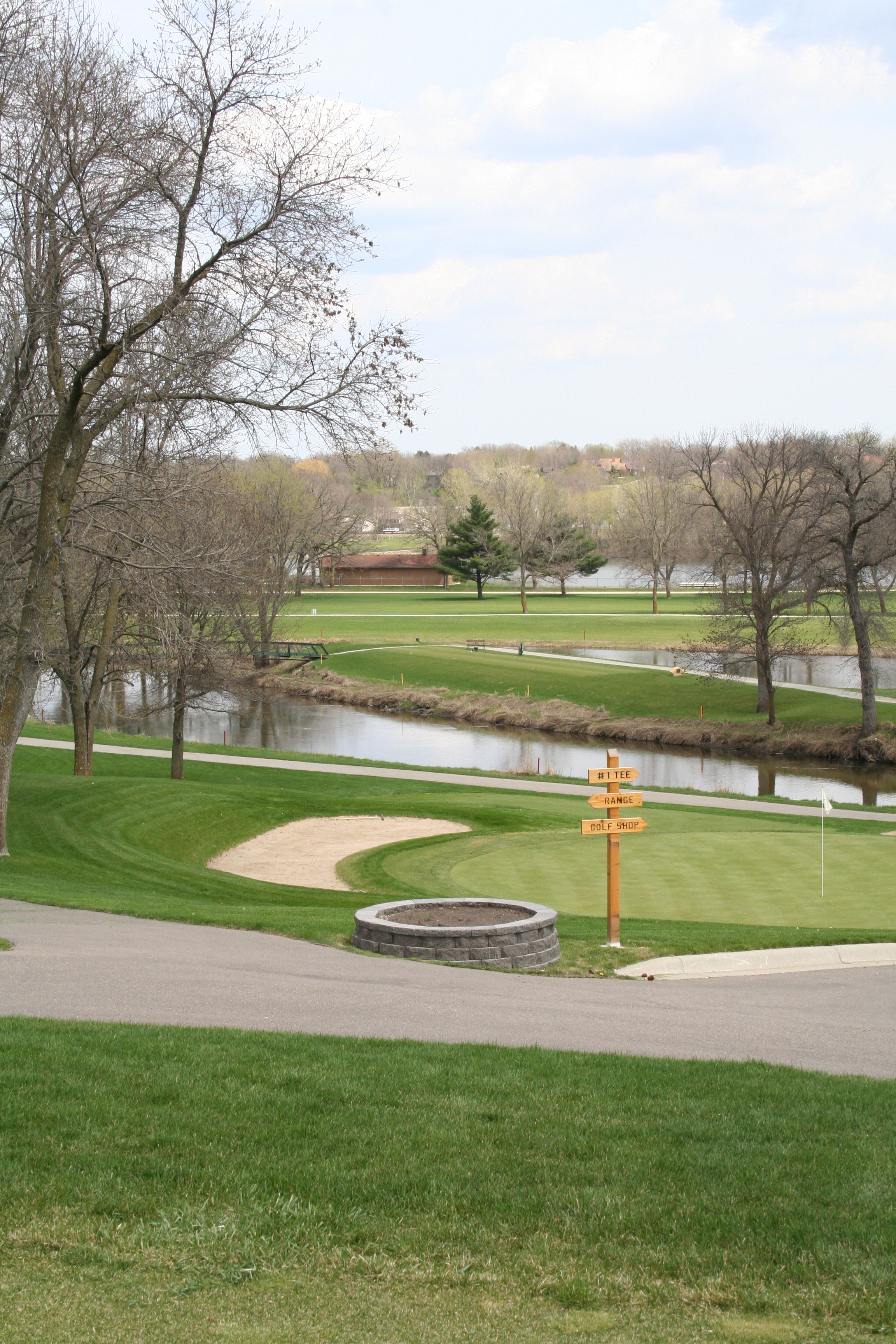
Owatonna Country Club
Pareidolia rabbit/trees
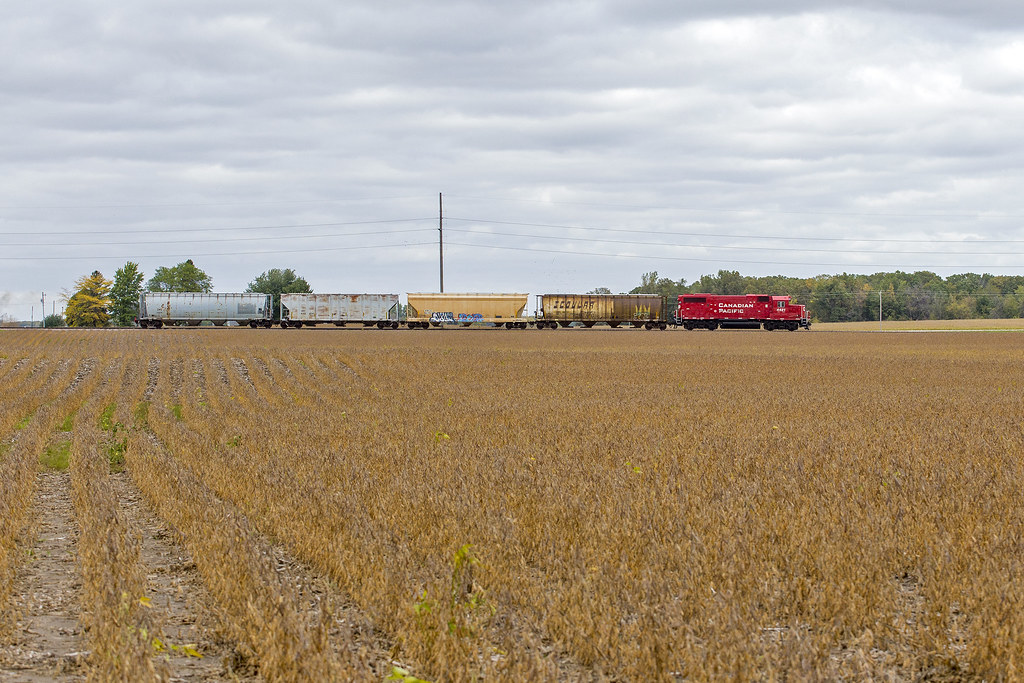
CP 4421 - Rochester Local
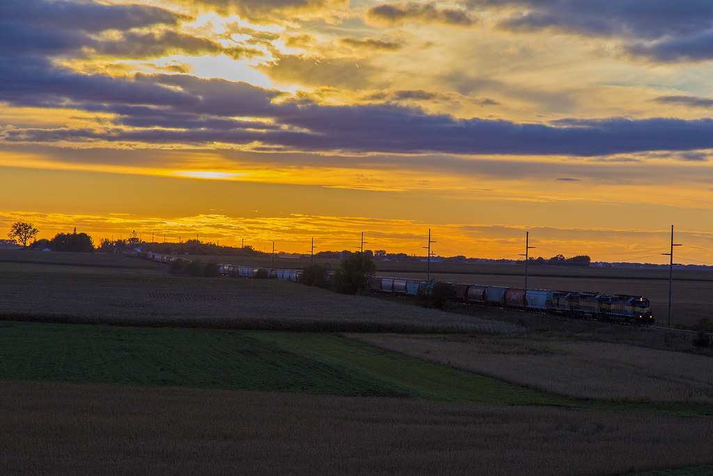
The Sun the Clouds and the 470

Watts Over Owatonna 2013 (94)

Watts Over Owatonna 2013 (26)

Snowy Trees 1

Watts Over Owatonna 2013 (45)

Watts Over Owatonna 2013 (69)

Watts Over Owatonna 2014 (23)

Watts Over Owatonna 2014 (28)

Watts Over Owatonna 2014 (84)

Watts Over Owatonna 2014 (32)

Watts Over Owatonna 2013 (68)

RCPE 6444 - Havana, MN

Watts Over Owatonna 2014 (91)

Watts Over Owatonna 2014 (33)

Watts Over Owatonna 2013 (134)

Watts Over Owatonna 2014 (26)

Watts Over Owatonna 2013 (63)

Watts Over Owatonna 2013 (135)

Watts Over Owatonna 2013 (44)

Watts Over Owatonna 2013 (10)
Topographic Map of Steele County, MN, USA
Find elevation by address:

Places in Steele County, MN, USA:
Owatonna
Merton Township
Medford
Blooming Prairie
Meriden Township
Deerfield Township
SW 37th Ave, Hope, MN, USA
Ellendale
Places near Steele County, MN, USA:
5994 Se 34th Ave
510 18th St Se
SW 37th Ave, Hope, MN, USA
421 Murray St
Owatonna Country Club
1135 Lemond Rd
Owatonna
516 N Oak Ave
Woodcrest Drive Northeast
1246 Bellflower Ln Ne
1224 Woodridge Pl
Crane Creek Road
8801 Sw 88th St
Meriden Township
Woodville Township
812 9th St Ne
612 8th St Ne
700 7th St Ne
700 7th St Ne
412 5th St Ne
Recent Searches:
- Elevation of Corso Fratelli Cairoli, 35, Macerata MC, Italy
- Elevation of Tallevast Rd, Sarasota, FL, USA
- Elevation of 4th St E, Sonoma, CA, USA
- Elevation of Black Hollow Rd, Pennsdale, PA, USA
- Elevation of Oakland Ave, Williamsport, PA, USA
- Elevation of Pedrógão Grande, Portugal
- Elevation of Klee Dr, Martinsburg, WV, USA
- Elevation of Via Roma, Pieranica CR, Italy
- Elevation of Tavkvetili Mountain, Georgia
- Elevation of Hartfords Bluff Cir, Mt Pleasant, SC, USA