Elevation of Blooming Prairie, MN, USA
Location: United States > Minnesota > Steele County >
Longitude: -93.048809
Latitude: 43.8666294
Elevation: 393m / 1289feet
Barometric Pressure: 97KPa
Elevation Map:
Satellite Map:
Related Photos:
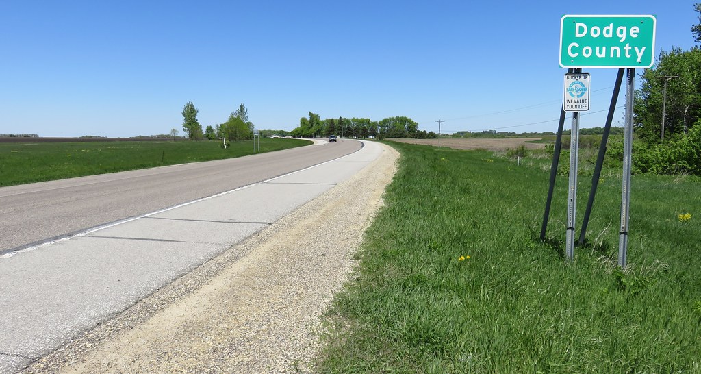
Entering Dodge County (Dodge County, Minnesota)

Southeastern Minnesota Landscape (Dodge County, Minnesota)

Minnesota Winter
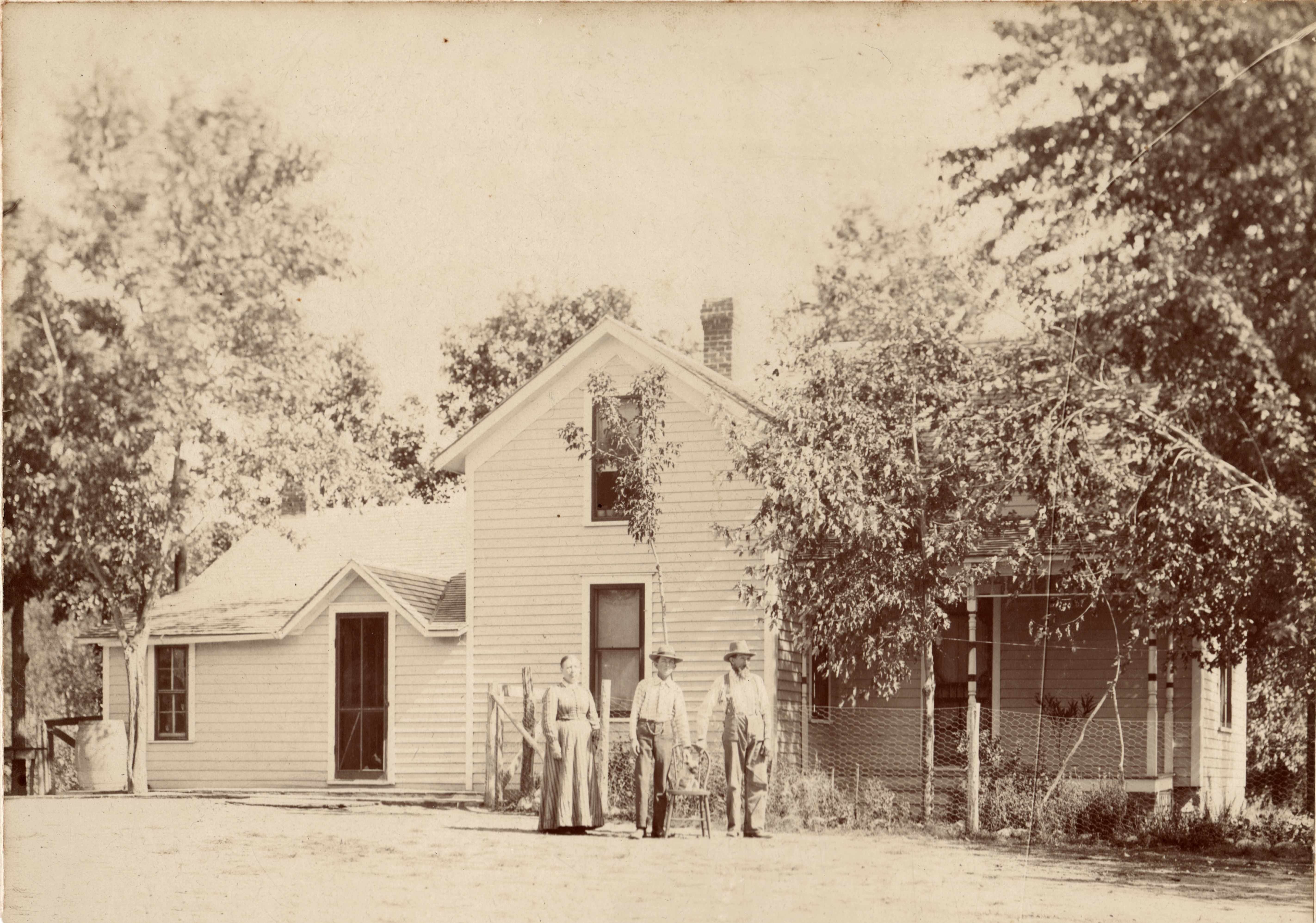
Karen, Edmund and Ole Jacobson about 1905

"UNO DE ALTURA COMO PARA VARIAR" #CRIMEKILLAZ #CKFAM #SKEP ##FUNKYOU #CEKAVANDALS

Dodge County Sign (Dodge County, Minnesota)

Welcome to Hayfield Sign (Hayfield, Minnesota)

Post Office 55982 (Waltham, Minnesota)
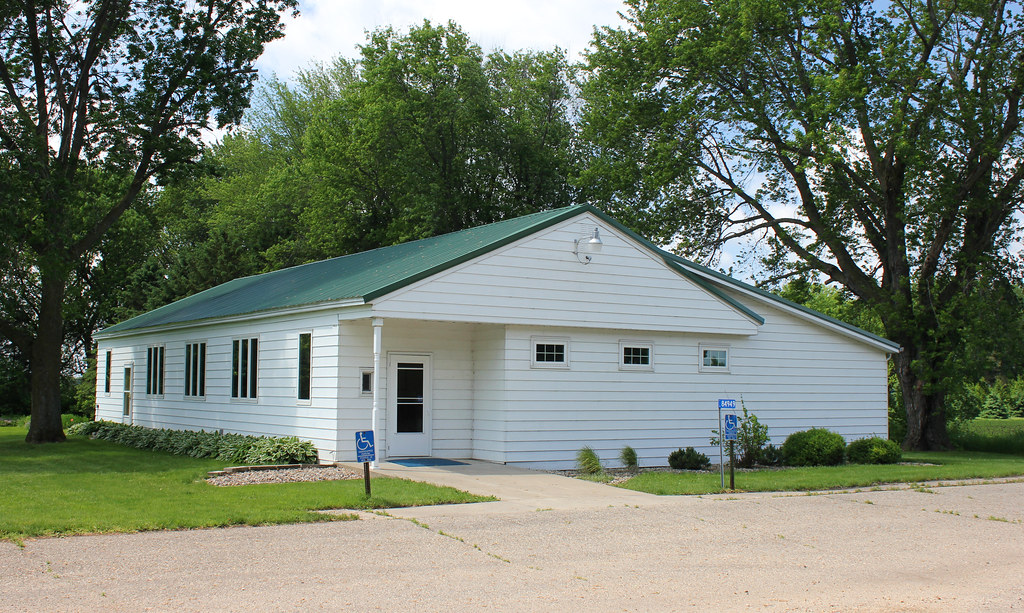
St. Mary's Parish Hall - rural Hollandale, MN

St. Mary's Catholic Church - rural Hollandale, MN

Version 2
Topographic Map of Blooming Prairie, MN, USA
Find elevation by address:

Places in Blooming Prairie, MN, USA:
Places near Blooming Prairie, MN, USA:
Main St E, Blooming Prairie, MN, USA
458 4th St Sw
88071 340th St
Lansing Township
Hayfield Township
Steele County
th Ave, Austin, MN, USA
5994 Se 34th Ave
Claremont
S Elm St, Claremont, MN, USA
55992 245th St
Ashland Township
1814 2nd St Ne
Hayfield
12 Main St, Hayfield, MN, USA
1908 14th St Ne
1801 3rd Ave Nw
Oakland Ave E, Austin, MN, USA
Austin
1200 11th Ave Sw
Recent Searches:
- Elevation of Corso Fratelli Cairoli, 35, Macerata MC, Italy
- Elevation of Tallevast Rd, Sarasota, FL, USA
- Elevation of 4th St E, Sonoma, CA, USA
- Elevation of Black Hollow Rd, Pennsdale, PA, USA
- Elevation of Oakland Ave, Williamsport, PA, USA
- Elevation of Pedrógão Grande, Portugal
- Elevation of Klee Dr, Martinsburg, WV, USA
- Elevation of Via Roma, Pieranica CR, Italy
- Elevation of Tavkvetili Mountain, Georgia
- Elevation of Hartfords Bluff Cir, Mt Pleasant, SC, USA