Elevation of Barton City, MI, USA
Location: United States > Michigan > Alcona County > Millen Township >
Longitude: -83.6060424
Latitude: 44.6839498
Elevation: 252m / 827feet
Barometric Pressure: 0KPa
Related Photos:
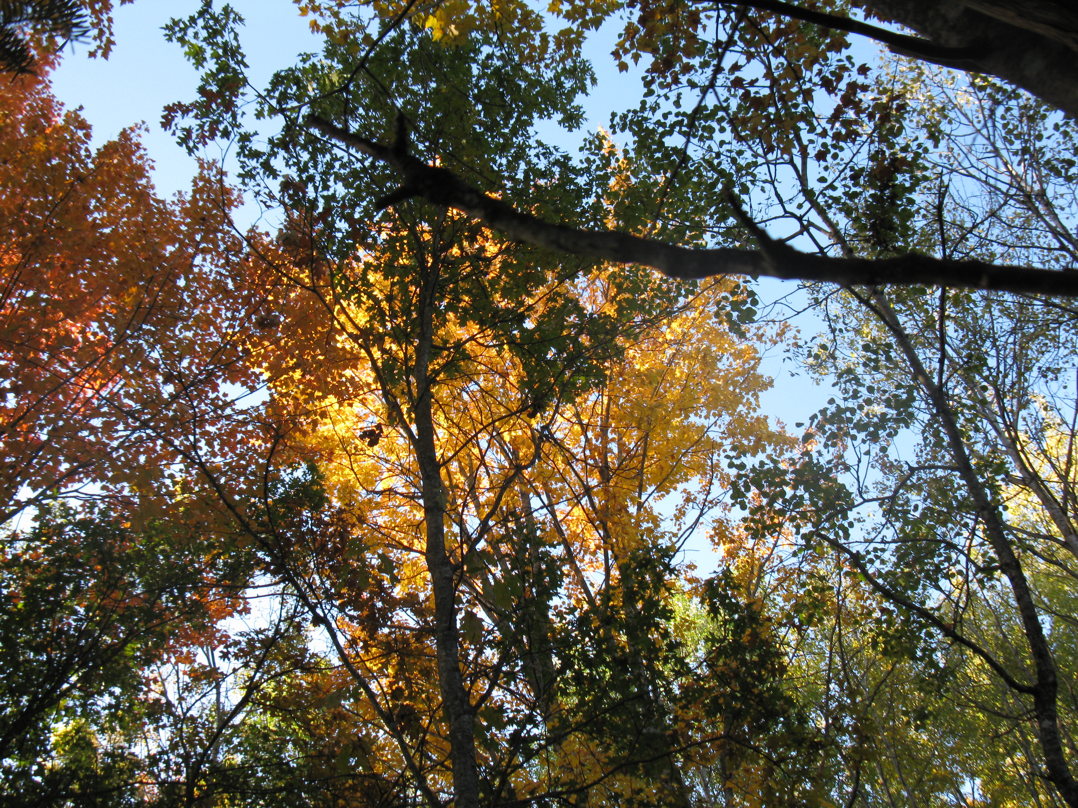
Glennie from a treestand
Topographic Map of Barton City, MI, USA
Find elevation by address:

Places in Barton City, MI, USA:
Places near Barton City, MI, USA:
Alcona County
South Bean Hill Road
Hubbard Lake
Millen Township
Mikado Township
Gustin Township
11 M-72
Curran
Gillard Rd, Spruce, MI, USA
12789 Kissau Rd
West Nicholson Hill Road
10760 Bushey Rd
10610 Bushey Rd
Haynes Township
Harrisville Township
Ossineke Township
Sanborn Township
Ossineke
Greenbush Township
6683 Shipley Trail
Recent Searches:
- Elevation map of Greenland, Greenland
- Elevation of Sullivan Hill, New York, New York, 10002, USA
- Elevation of Morehead Road, Withrow Downs, Charlotte, Mecklenburg County, North Carolina, 28262, USA
- Elevation of 2800, Morehead Road, Withrow Downs, Charlotte, Mecklenburg County, North Carolina, 28262, USA
- Elevation of Yangbi Yi Autonomous County, Yunnan, China
- Elevation of Pingpo, Yangbi Yi Autonomous County, Yunnan, China
- Elevation of Mount Malong, Pingpo, Yangbi Yi Autonomous County, Yunnan, China
- Elevation map of Yongping County, Yunnan, China
- Elevation of North 8th Street, Palatka, Putnam County, Florida, 32177, USA
- Elevation of 107, Big Apple Road, East Palatka, Putnam County, Florida, 32131, USA
- Elevation of Jiezi, Chongzhou City, Sichuan, China
- Elevation of Chongzhou City, Sichuan, China
- Elevation of Huaiyuan, Chongzhou City, Sichuan, China
- Elevation of Qingxia, Chengdu, Sichuan, China
- Elevation of Corso Fratelli Cairoli, 35, Macerata MC, Italy
- Elevation of Tallevast Rd, Sarasota, FL, USA
- Elevation of 4th St E, Sonoma, CA, USA
- Elevation of Black Hollow Rd, Pennsdale, PA, USA
- Elevation of Oakland Ave, Williamsport, PA, USA
- Elevation of Pedrógão Grande, Portugal