Elevation of Sanborn Township, MI, USA
Location: United States > Michigan > Alpena County >
Longitude: -83.4646133
Latitude: 44.9065814
Elevation: 228m / 748feet
Barometric Pressure: 0KPa
Related Photos:
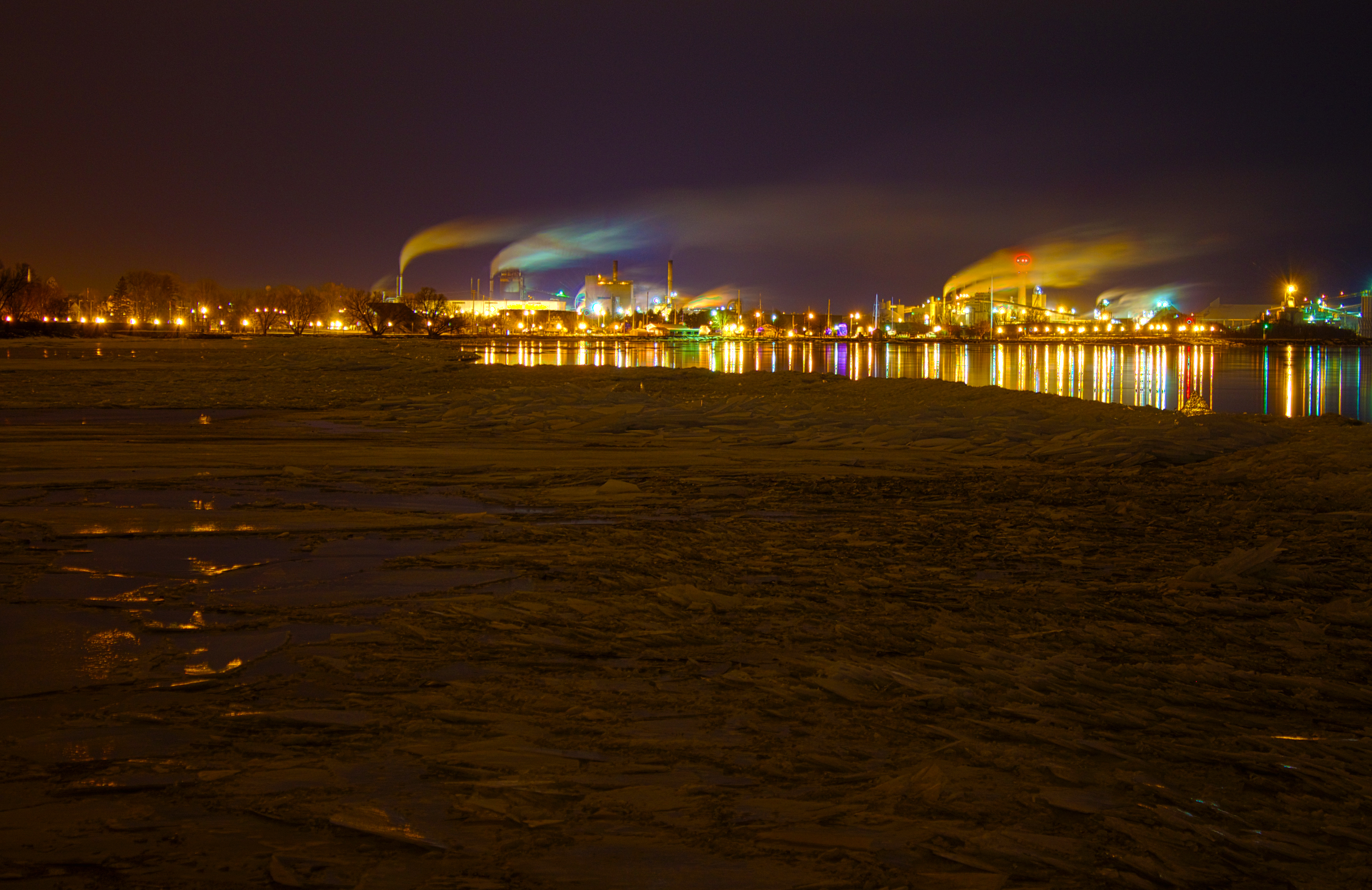
Alpena on Ice

Mr.Stuber's 4th Grade Sanborn Elementary, at the mouth of the Devil's river.

Alone on the Beach

Thunder Bay

Christmas afternoon at Negwegon - Lake Huron

The Dunes

DSCN0099.JPG

2005-08-15-harrisville105

Waiting for Clear Skies

Cobble beach - Negwegon

trail to the beach, Negwegon
Topographic Map of Sanborn Township, MI, USA
Find elevation by address:

Places in Sanborn Township, MI, USA:
Places near Sanborn Township, MI, USA:
Ossineke
West Nicholson Hill Road
Gillard Rd, Spruce, MI, USA
10760 Bushey Rd
10610 Bushey Rd
Hubbard Lake
12789 Kissau Rd
4130 N Lake Shore Dr
Haynes Township
Ossineke Township
11 M-72
Gustin Township
Barton City
Alcona County
South Bean Hill Road
Harrisville Township
Harrisville
Greenbush Township
Mikado Township
Millen Township
Recent Searches:
- Elevation map of Greenland, Greenland
- Elevation of Sullivan Hill, New York, New York, 10002, USA
- Elevation of Morehead Road, Withrow Downs, Charlotte, Mecklenburg County, North Carolina, 28262, USA
- Elevation of 2800, Morehead Road, Withrow Downs, Charlotte, Mecklenburg County, North Carolina, 28262, USA
- Elevation of Yangbi Yi Autonomous County, Yunnan, China
- Elevation of Pingpo, Yangbi Yi Autonomous County, Yunnan, China
- Elevation of Mount Malong, Pingpo, Yangbi Yi Autonomous County, Yunnan, China
- Elevation map of Yongping County, Yunnan, China
- Elevation of North 8th Street, Palatka, Putnam County, Florida, 32177, USA
- Elevation of 107, Big Apple Road, East Palatka, Putnam County, Florida, 32131, USA
- Elevation of Jiezi, Chongzhou City, Sichuan, China
- Elevation of Chongzhou City, Sichuan, China
- Elevation of Huaiyuan, Chongzhou City, Sichuan, China
- Elevation of Qingxia, Chengdu, Sichuan, China
- Elevation of Corso Fratelli Cairoli, 35, Macerata MC, Italy
- Elevation of Tallevast Rd, Sarasota, FL, USA
- Elevation of 4th St E, Sonoma, CA, USA
- Elevation of Black Hollow Rd, Pennsdale, PA, USA
- Elevation of Oakland Ave, Williamsport, PA, USA
- Elevation of Pedrógão Grande, Portugal