Elevation of Curran, MI, USA
Location: United States > Michigan > Alcona County >
Longitude: -83.807765
Latitude: 44.714734
Elevation: 284m / 932feet
Barometric Pressure: 98KPa
Elevation Map:
Satellite Map:
Related Photos:
a closer view
Glennie from a treestand
Good morning from #BarakelMens Retreat.
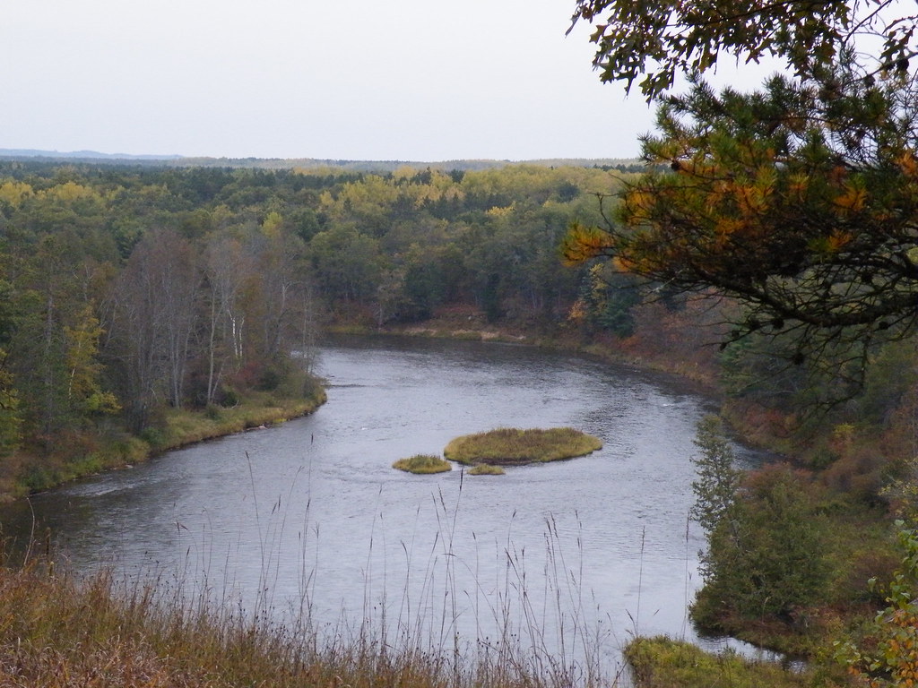
Au Sable River
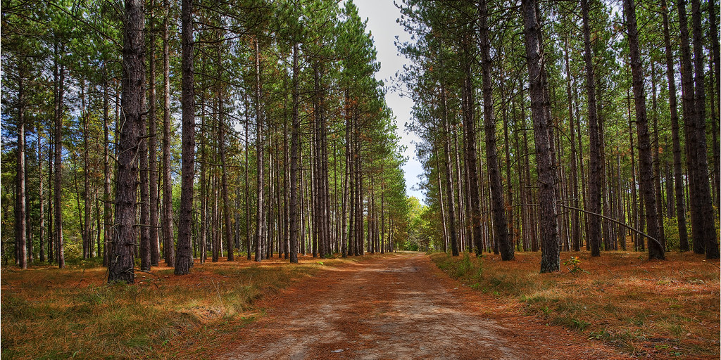
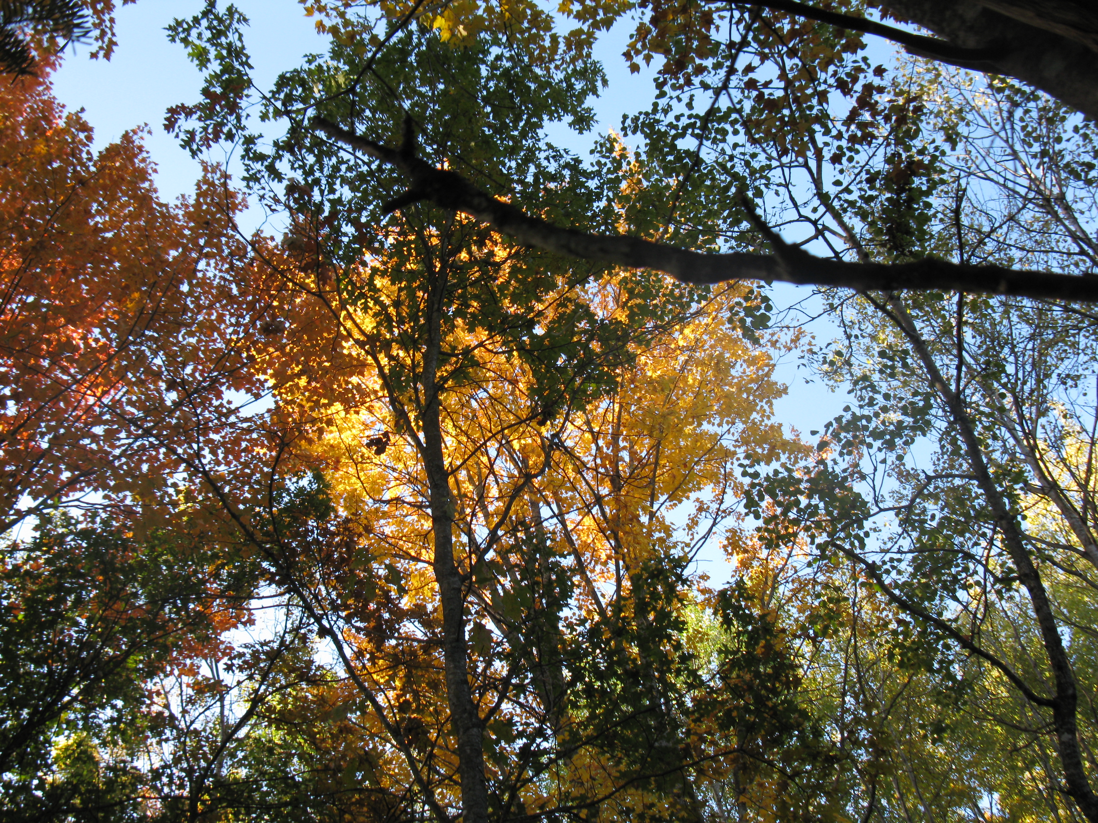
Pine trees near the Au Sable
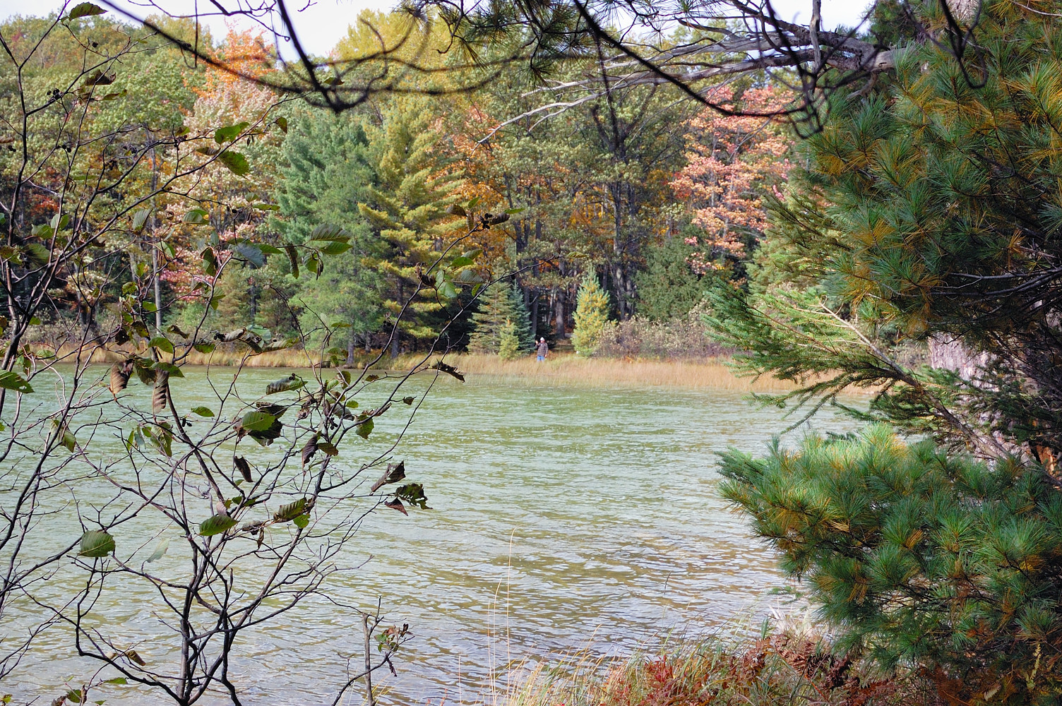
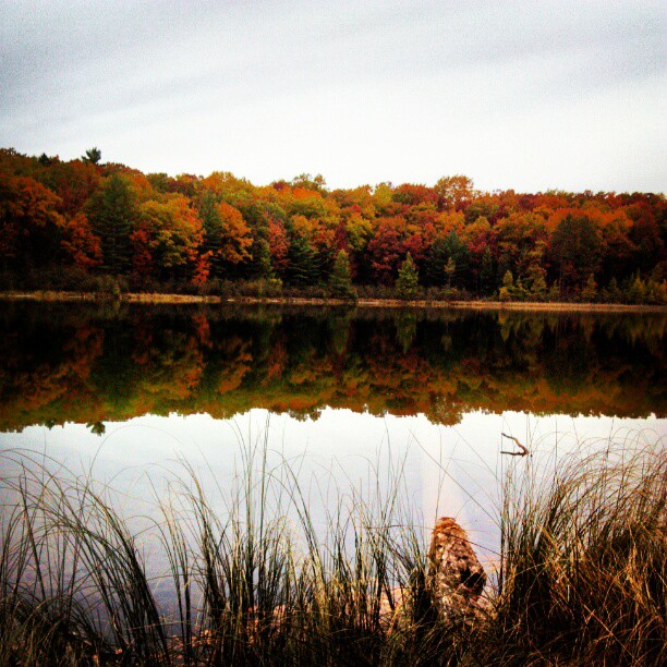
North End of Shear Lake

Mackinaw City at Sunset
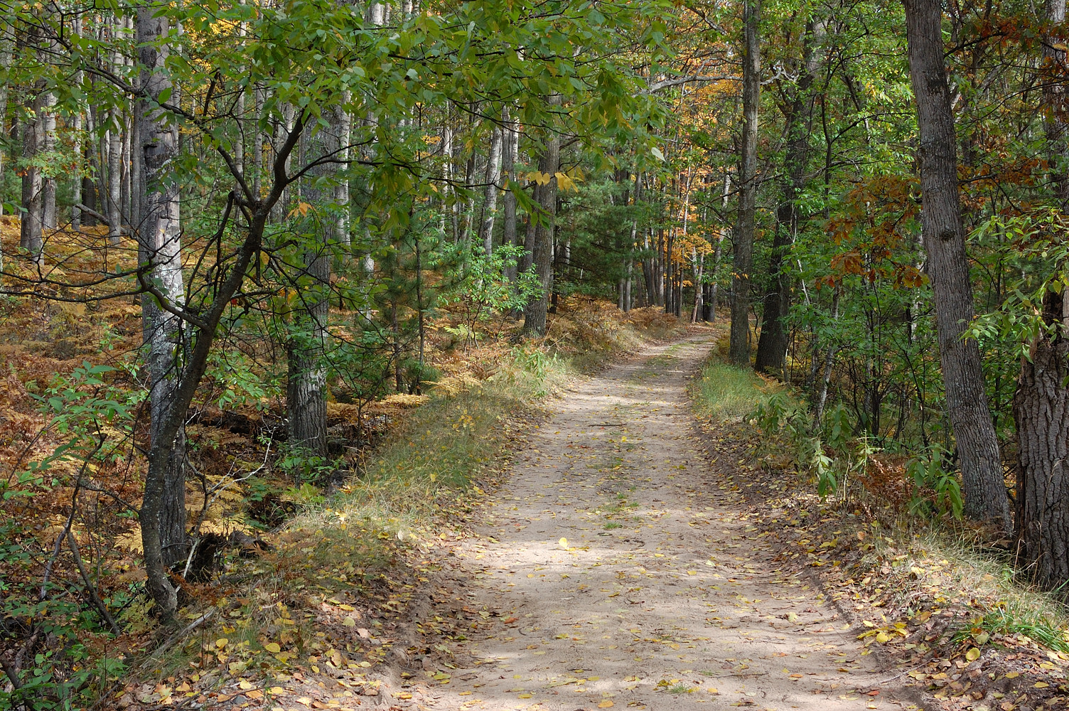
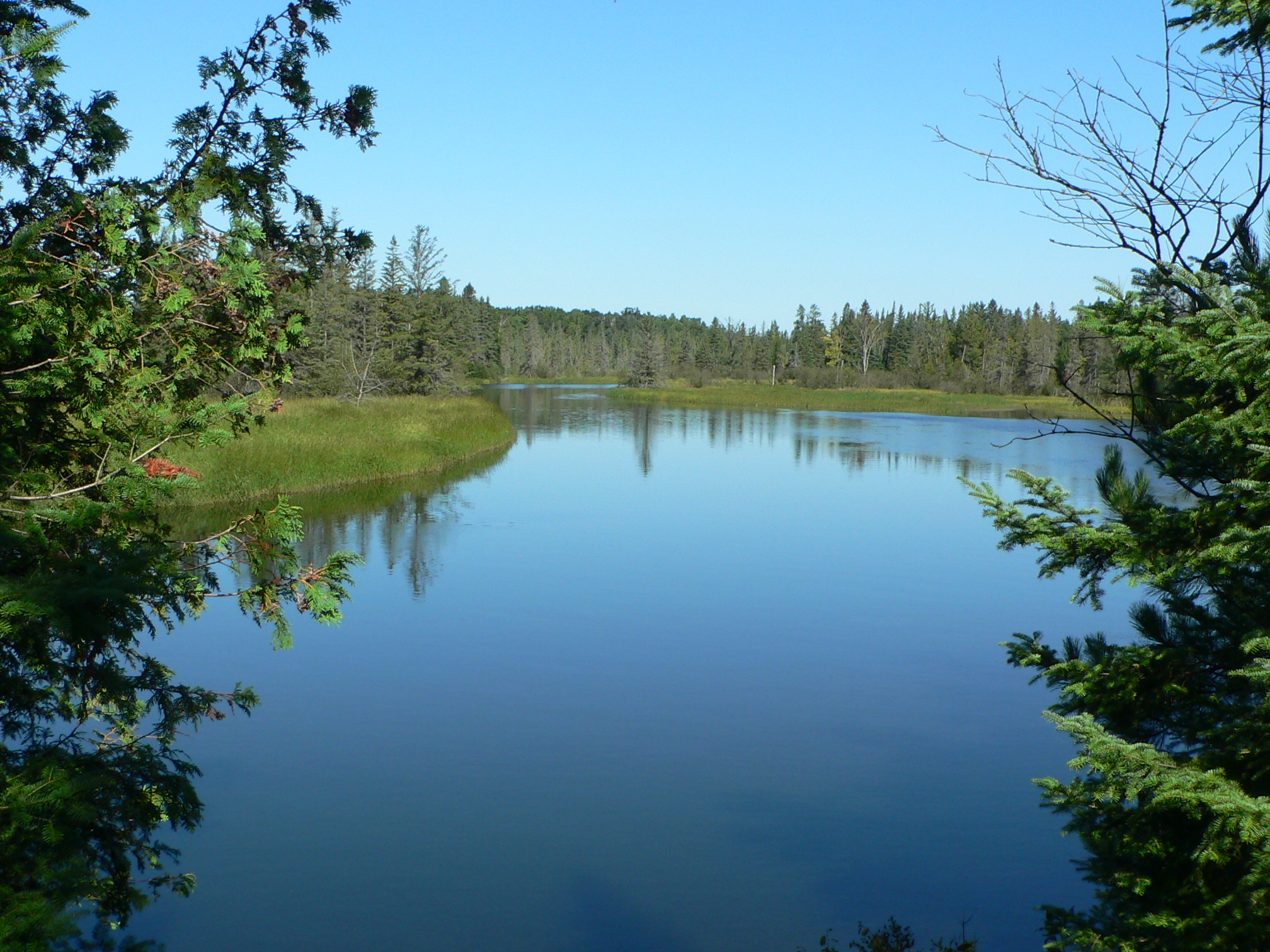
Camp Road Near Crosscut Lodge
Walking Trail
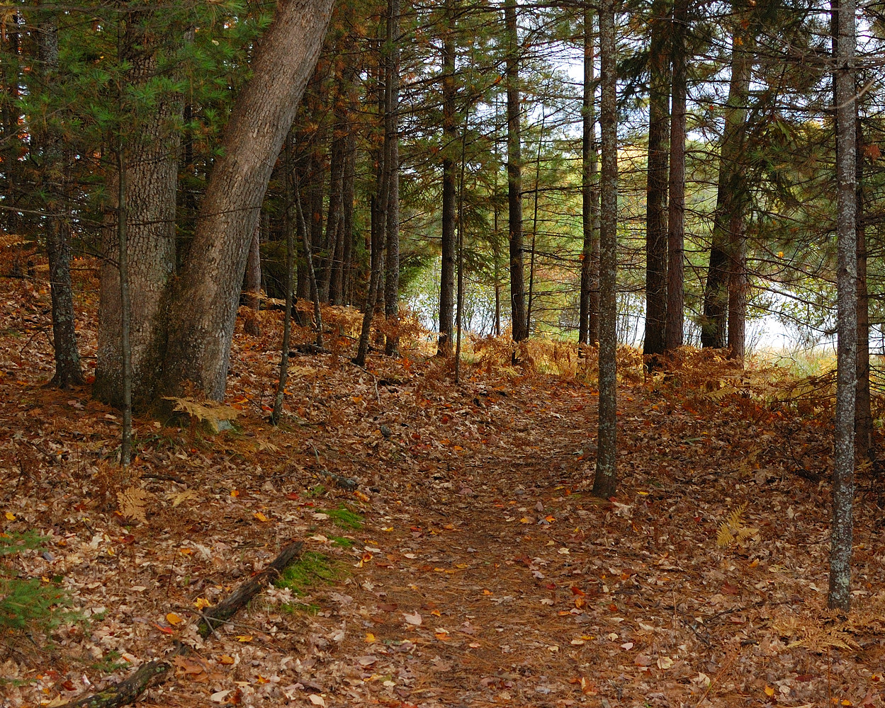
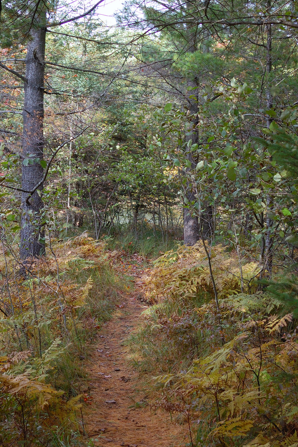
Forest Trail
Topographic Map of Curran, MI, USA
Find elevation by address:

Places near Curran, MI, USA:
Millen Township
Fairview, MI, USA
Comins Township
Barton City
Alcona County
Ossineke Township
12789 Kissau Rd
Kauffman Rd, Fairview, MI, USA
Fairview
2593 N Abbe Rd
2593 N Abbe Rd
2764 N Abbe Rd
6683 Shipley Trail
South Bean Hill Road
Hubbard Lake
1576 N Perry Creek Rd
Mikado Township
Plainfield Township
10760 Bushey Rd
10610 Bushey Rd
Recent Searches:
- Elevation of Corso Fratelli Cairoli, 35, Macerata MC, Italy
- Elevation of Tallevast Rd, Sarasota, FL, USA
- Elevation of 4th St E, Sonoma, CA, USA
- Elevation of Black Hollow Rd, Pennsdale, PA, USA
- Elevation of Oakland Ave, Williamsport, PA, USA
- Elevation of Pedrógão Grande, Portugal
- Elevation of Klee Dr, Martinsburg, WV, USA
- Elevation of Via Roma, Pieranica CR, Italy
- Elevation of Tavkvetili Mountain, Georgia
- Elevation of Hartfords Bluff Cir, Mt Pleasant, SC, USA