Elevation of Arrow Creek, BC V0B, Canada
Location: Canada > British Columbia >
Longitude: -116.44614
Latitude: 49.133657
Elevation: 723m / 2372feet
Barometric Pressure: 93KPa
Elevation Map:
Satellite Map:
Related Photos:
I'll tell you everything about living free

We stumbled onto something we would like...
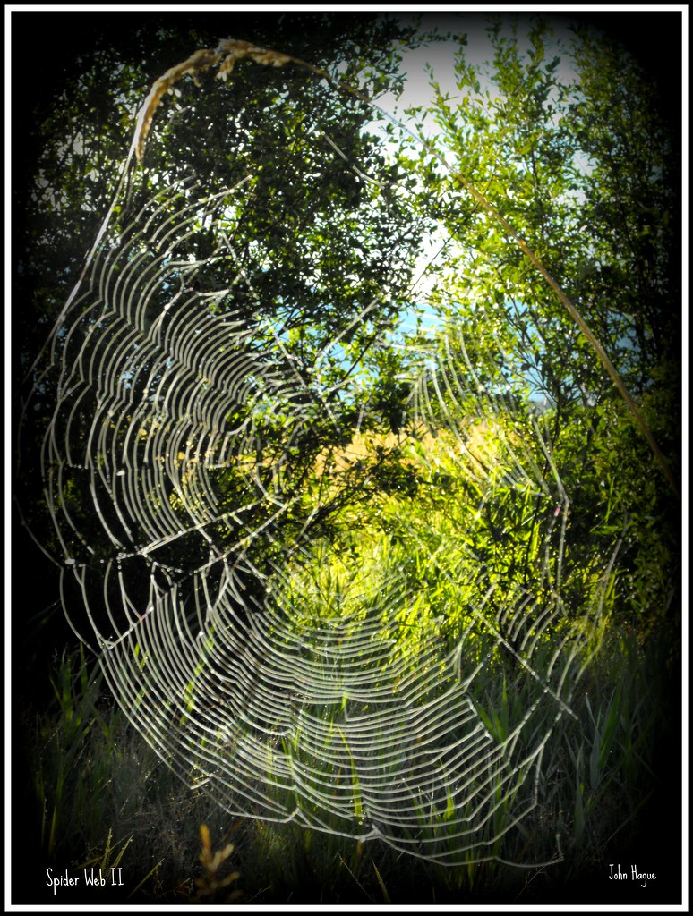
Spider Web II

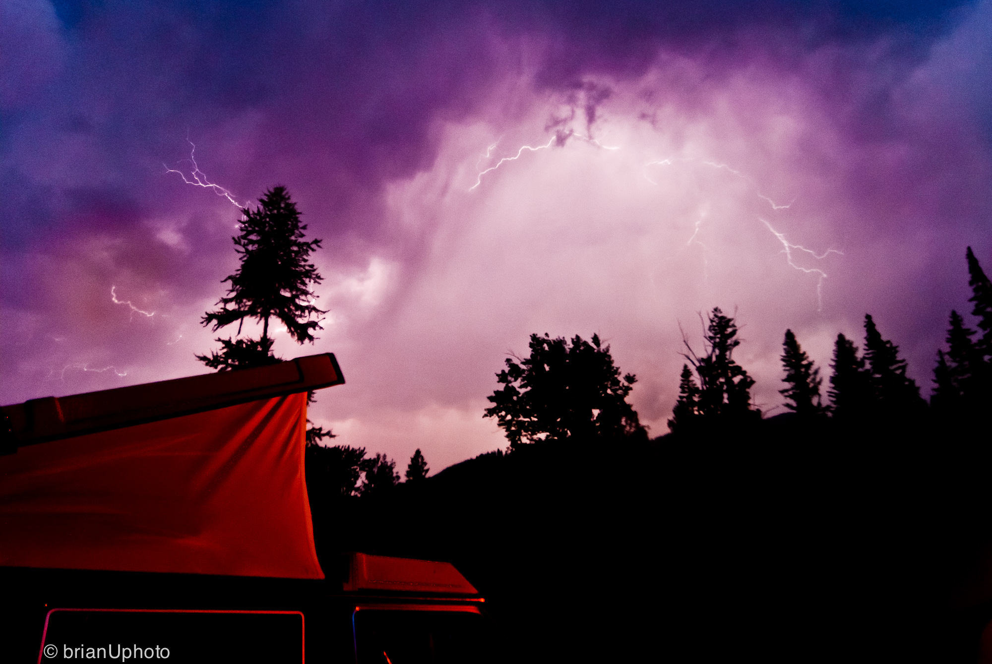
Black sky comes, black sky comes, black sky comes and I hold you
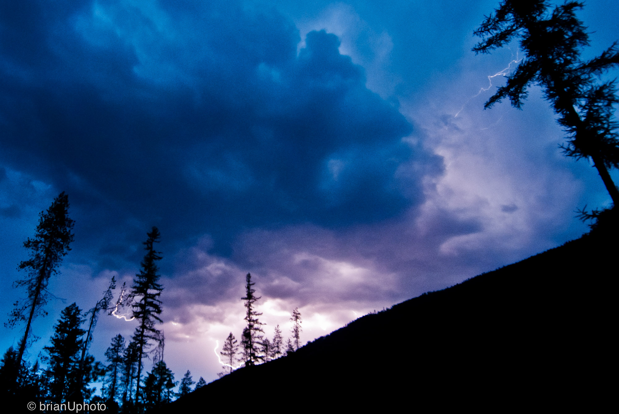
The black sky will come before our eyes
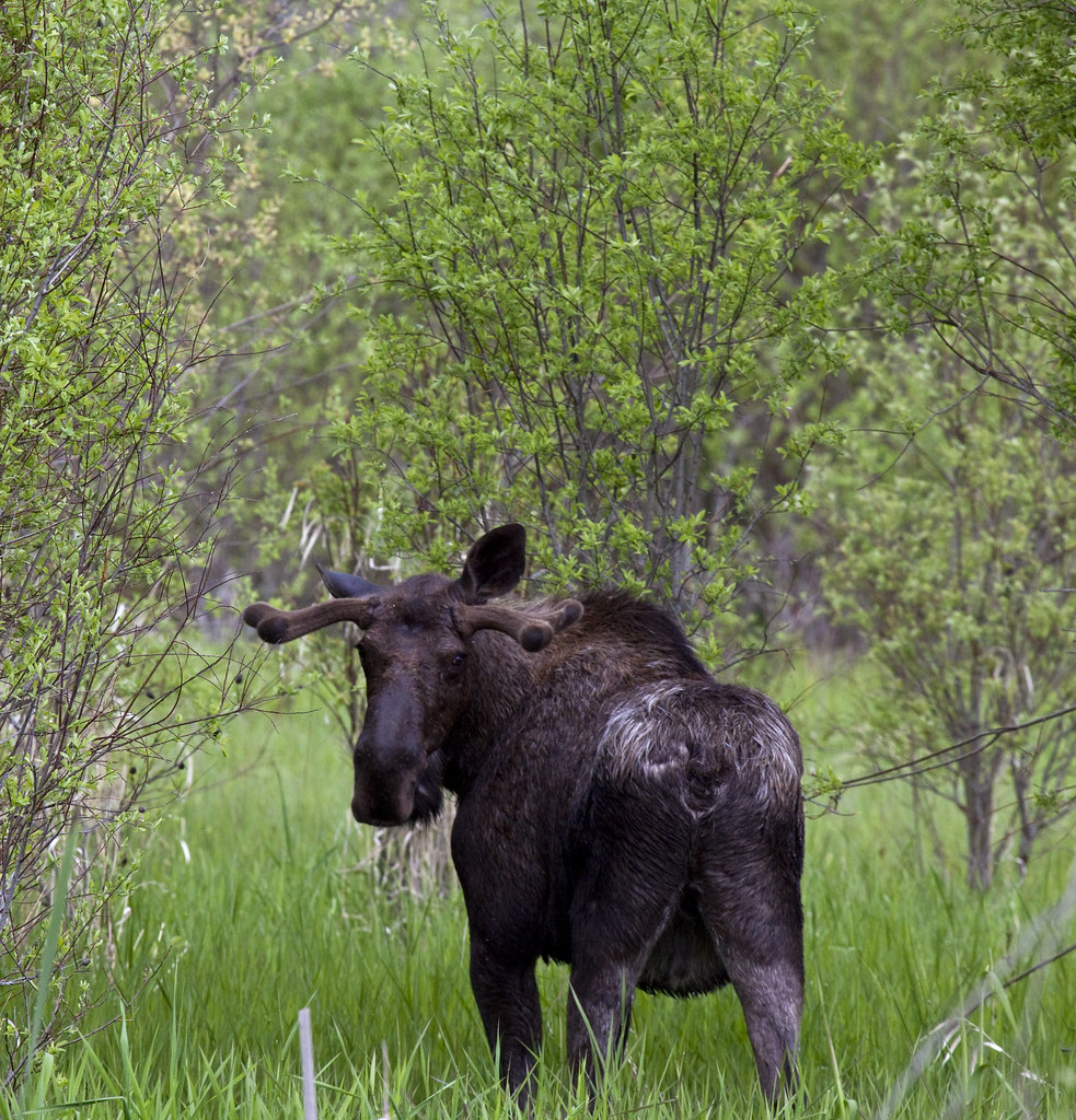
Rear View Stare
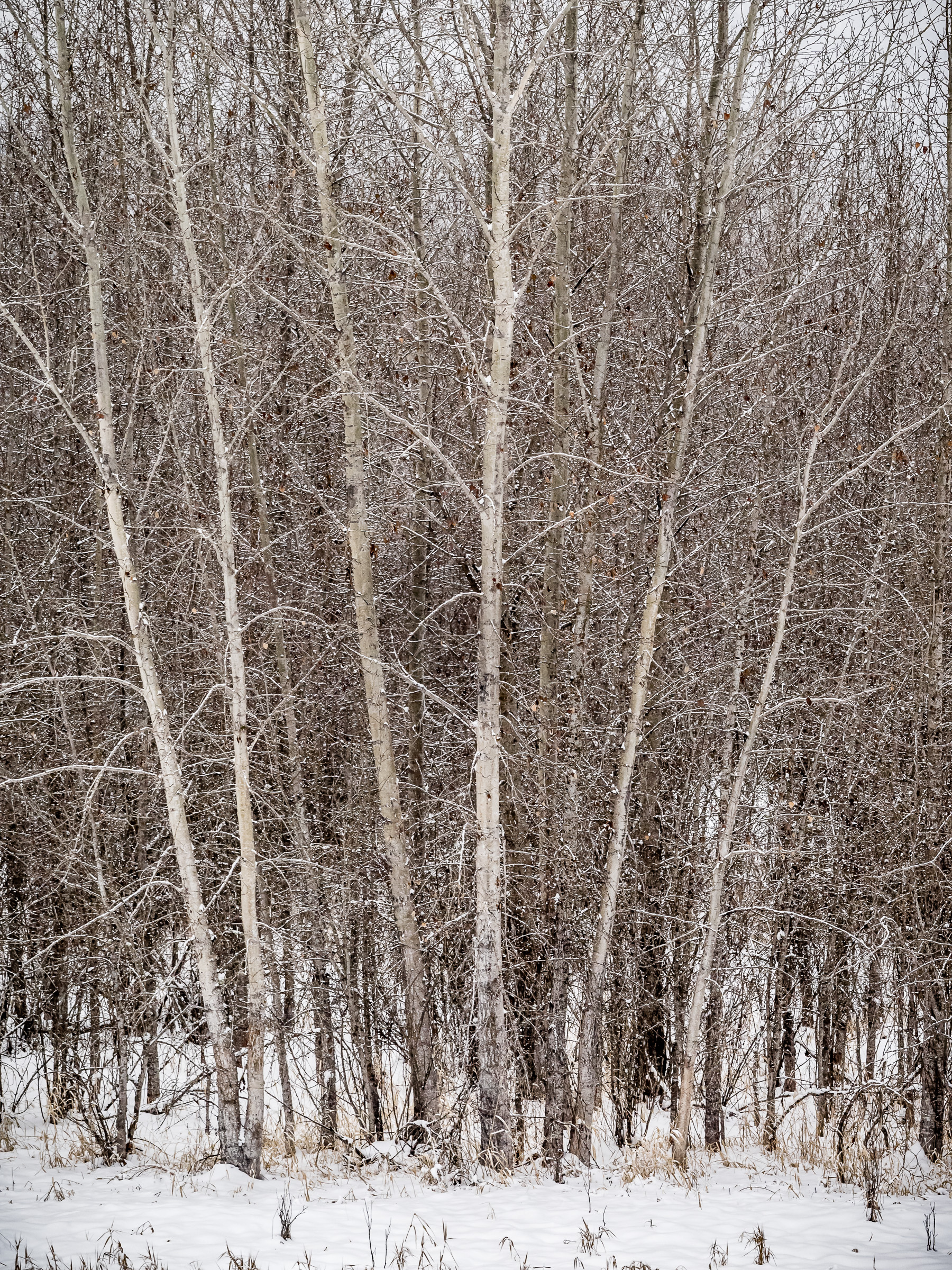
Winter Scene #1
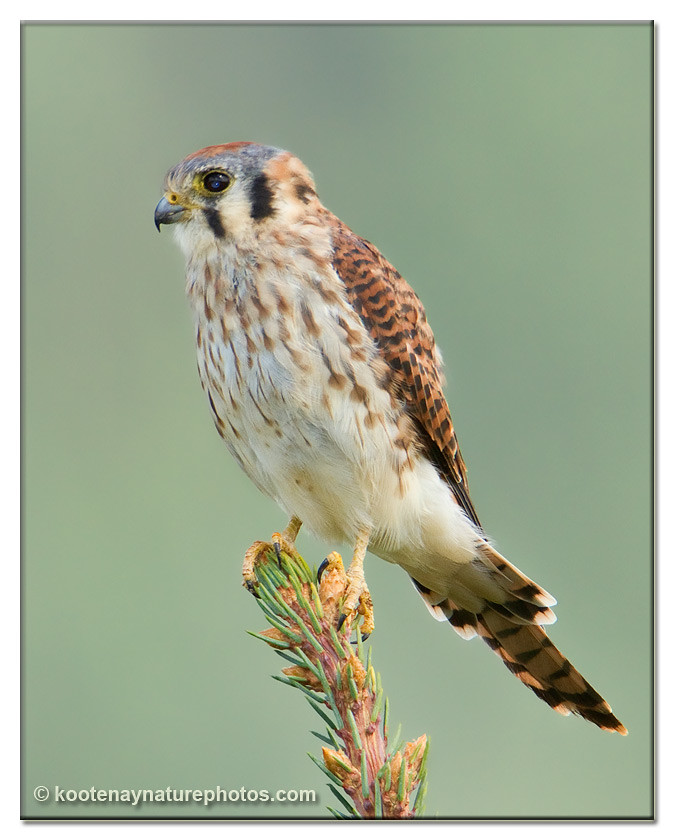
American Kestrel
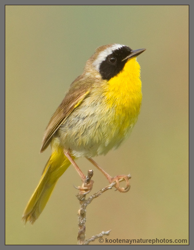
Common Yellowthroat

Savannah Sparrow

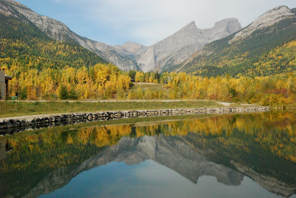
Kootenay River
19990715-007

Pine Siskin

Pine Siskin

Savannah Sparrow

This is how it begins...

Savannah Sparrow
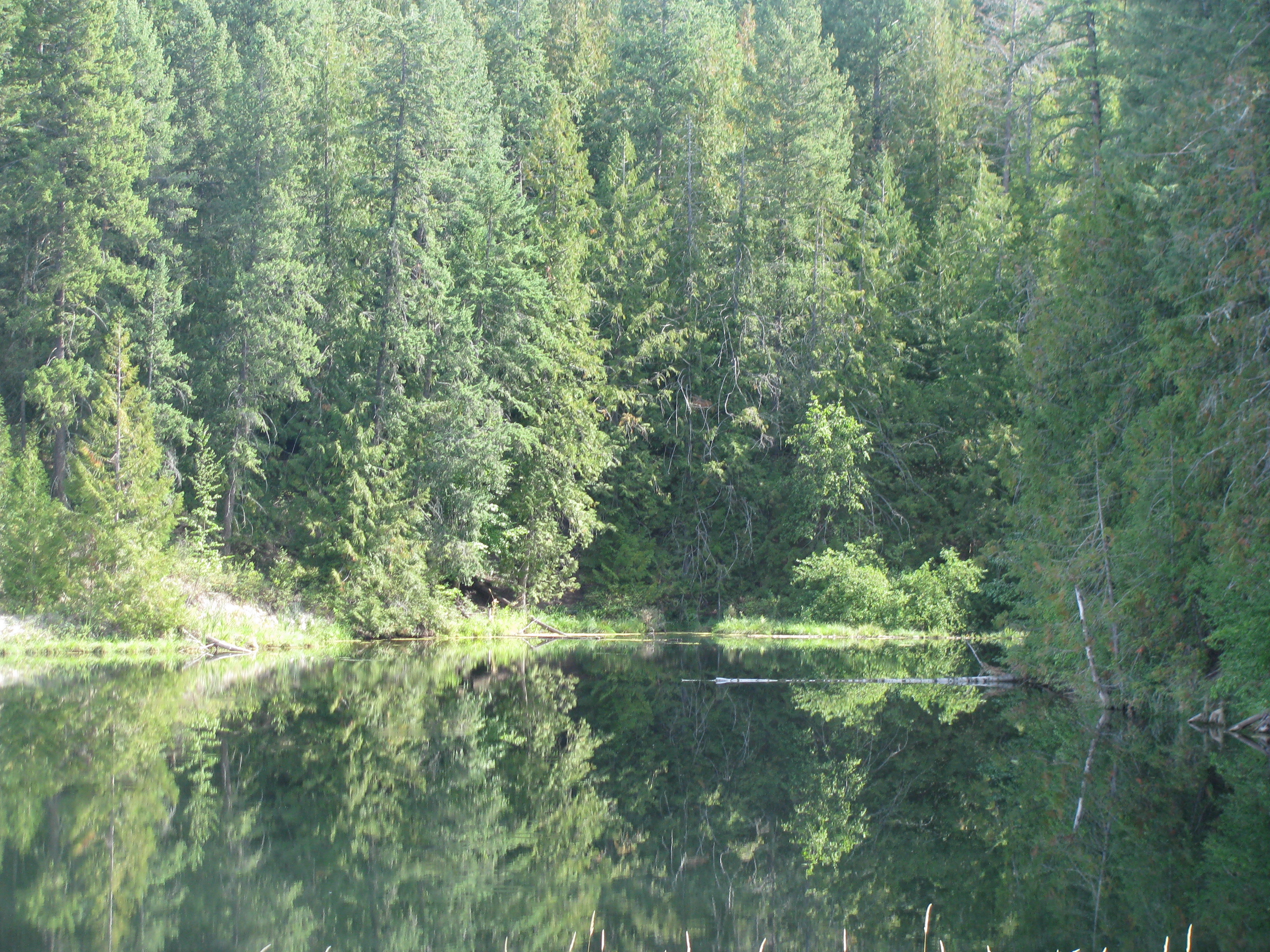
Pond behind the grocery store - 17
2006-08-15 14-09-04
2006-08-15 14-09-06
Selkirk Dave 111
2006-08-15 14-08-51

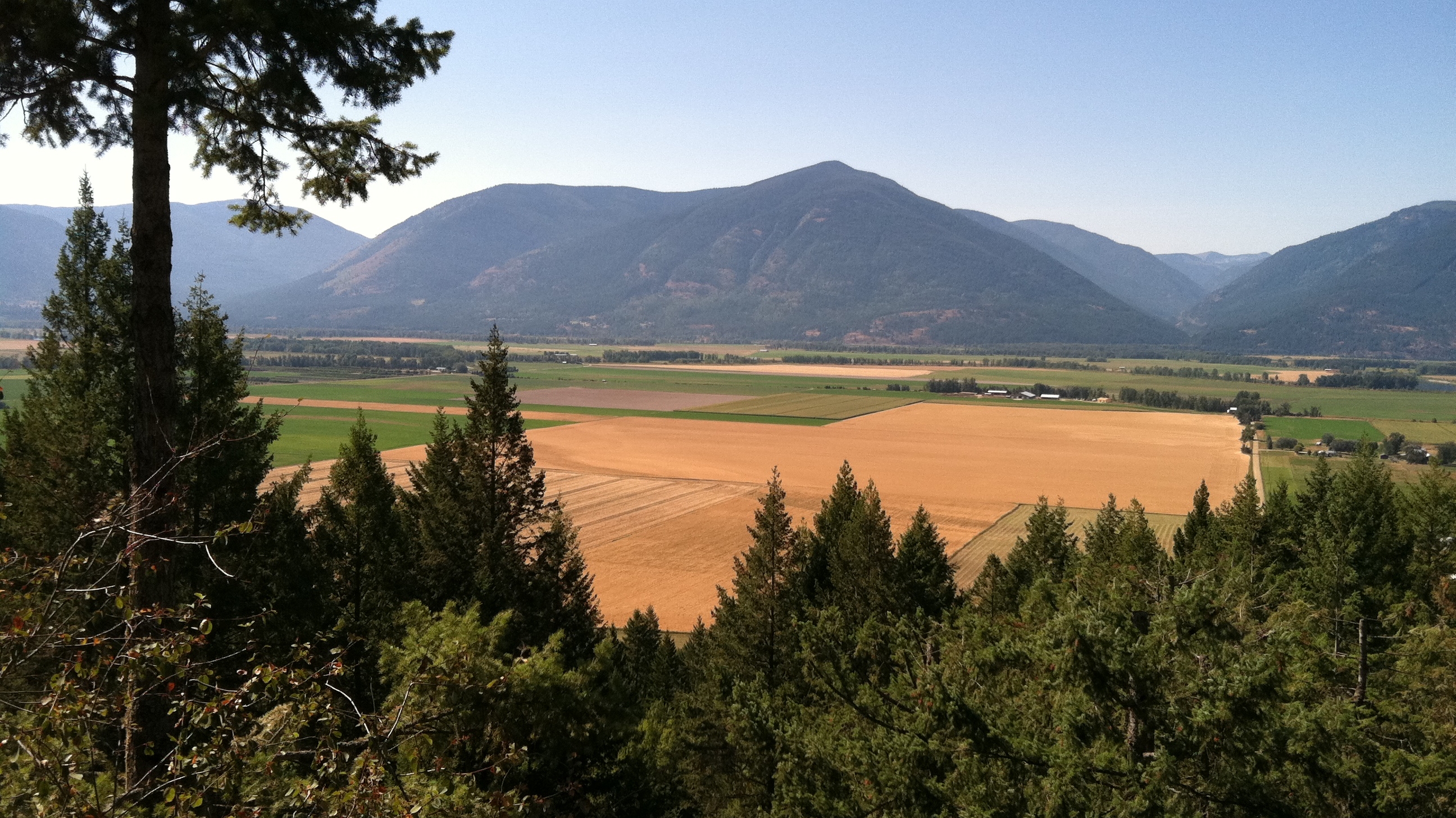
A muddy mess to move
Reflections on Lake, Canada-USA Border crossing on Hwy 21

19990715-001

Selkirk Dave 142
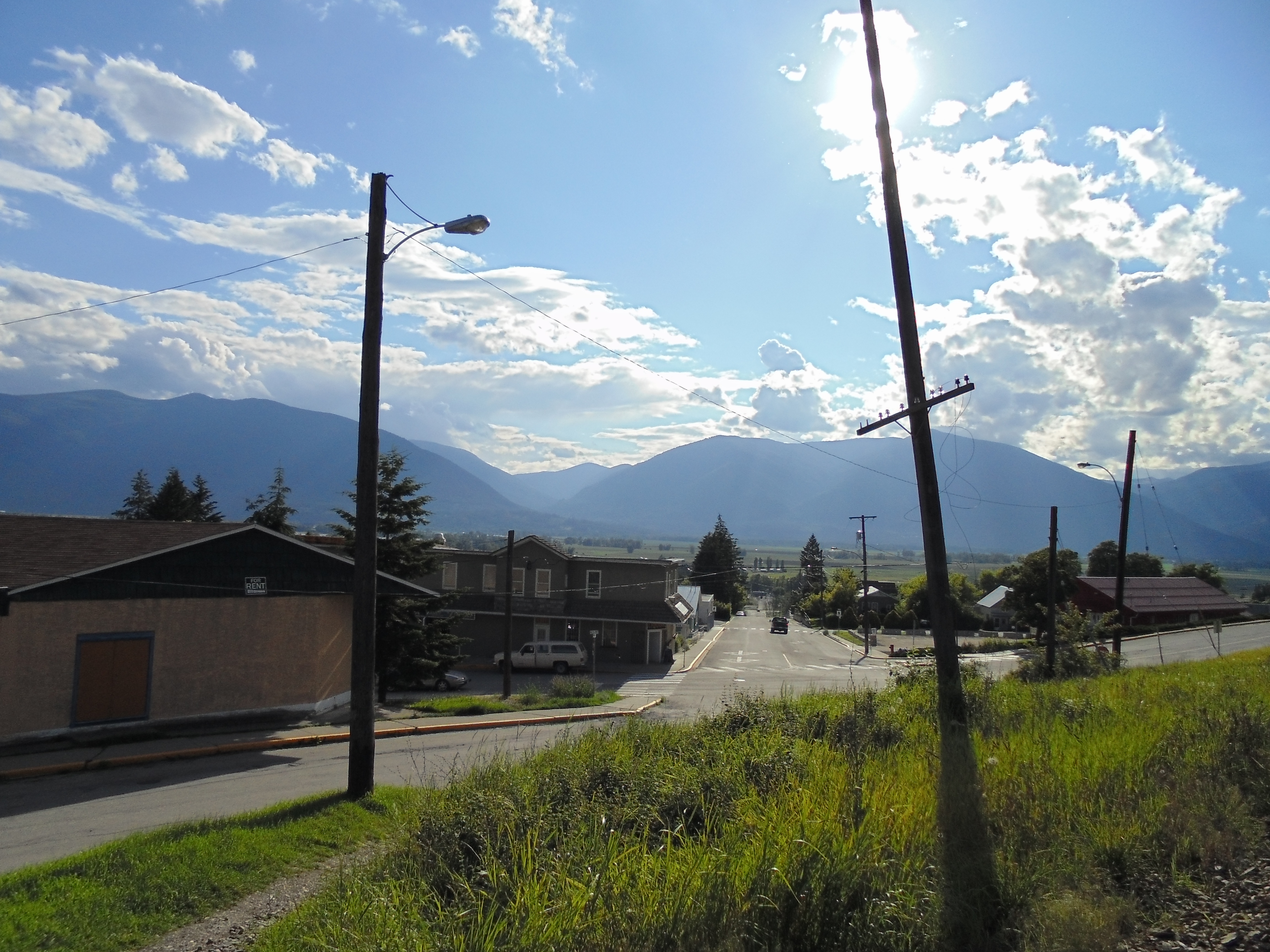
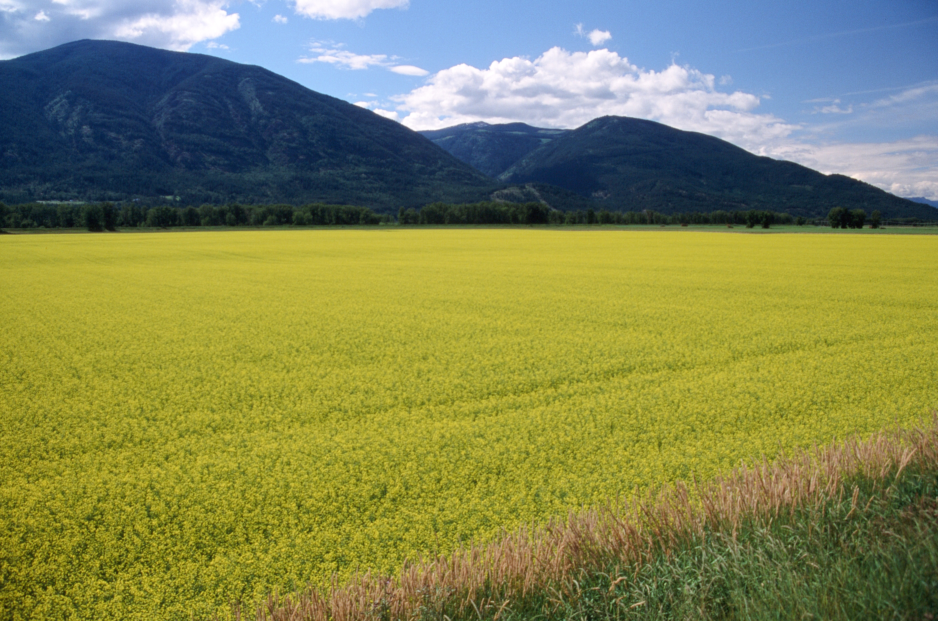
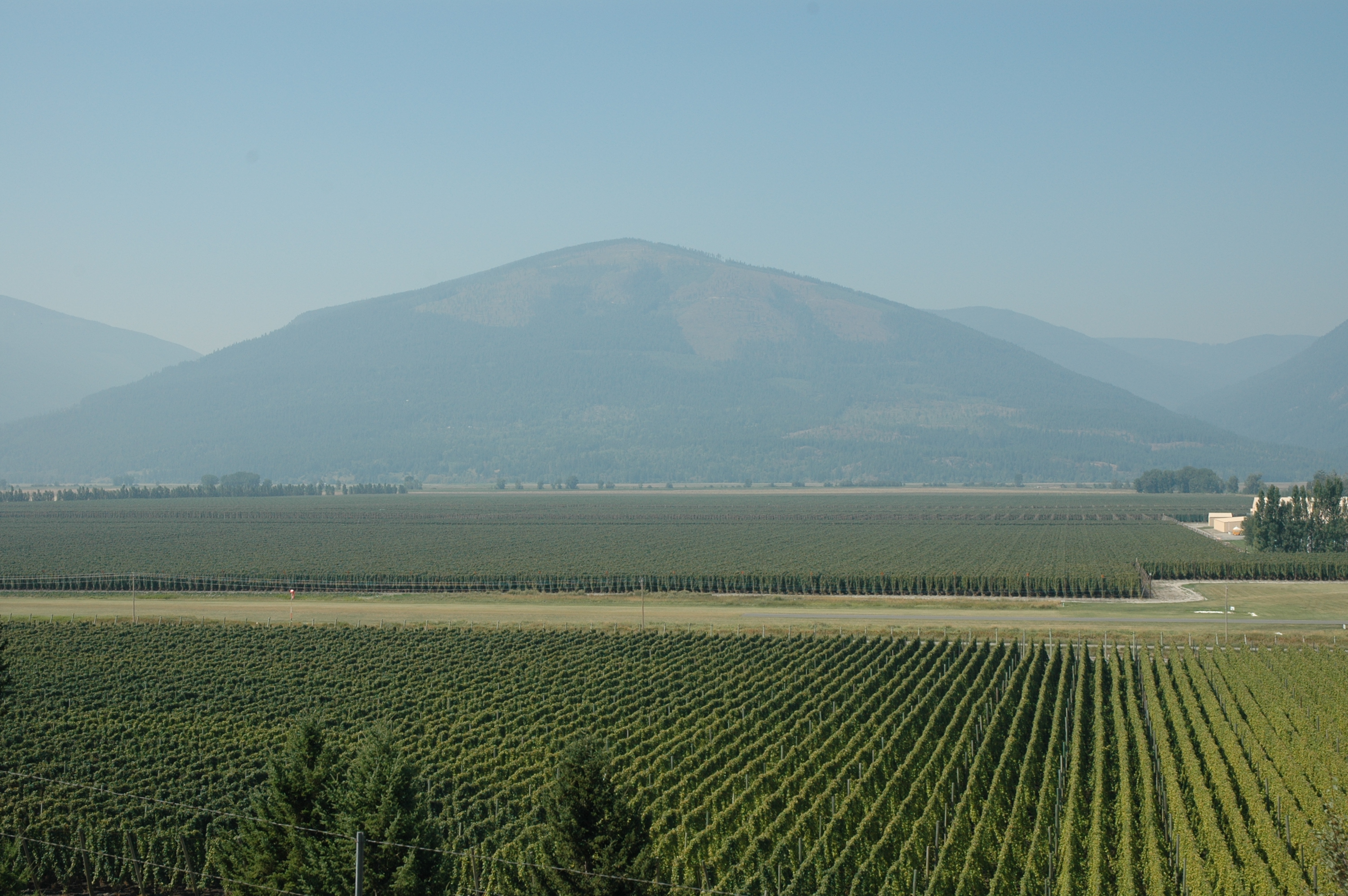
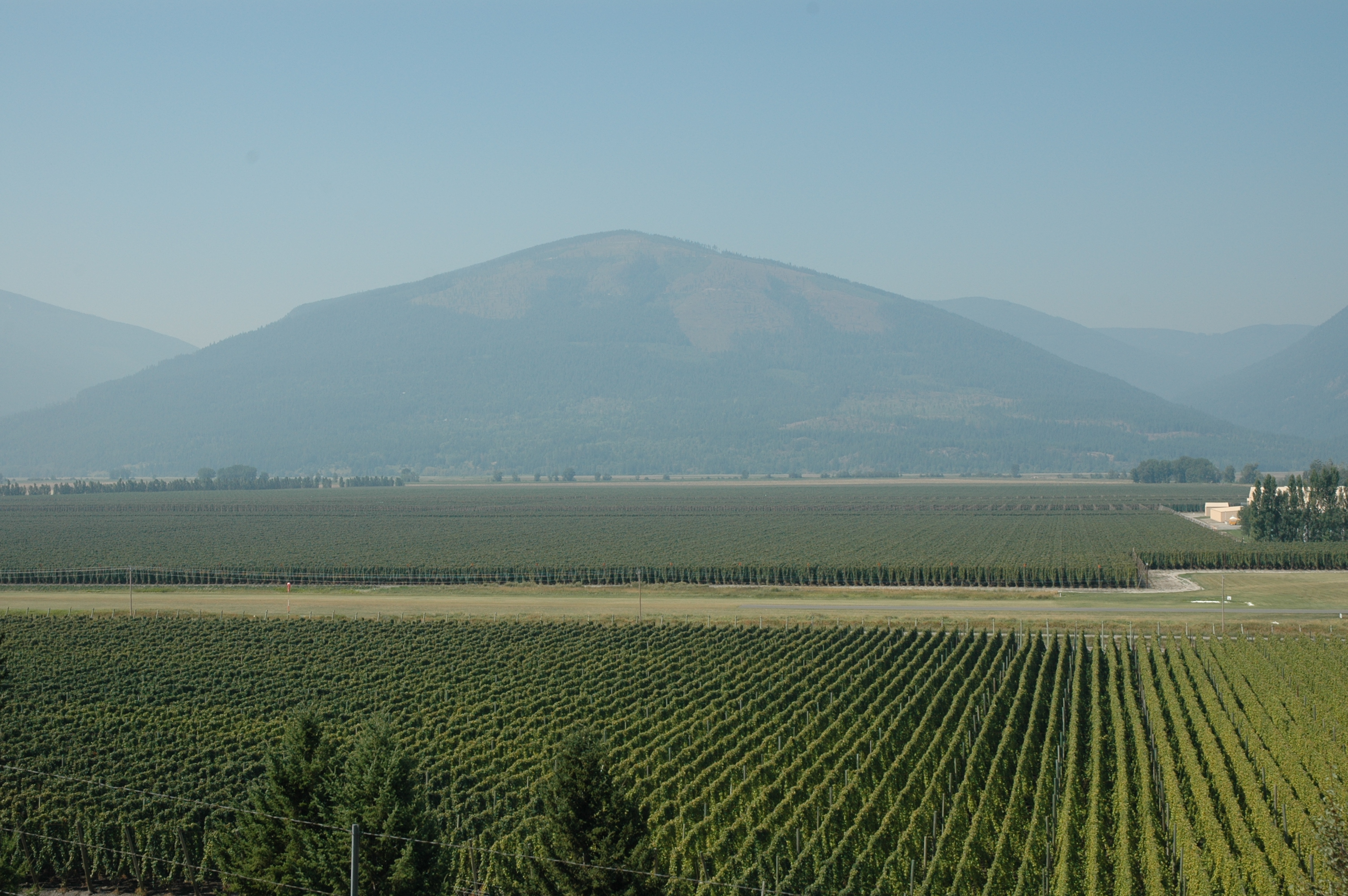
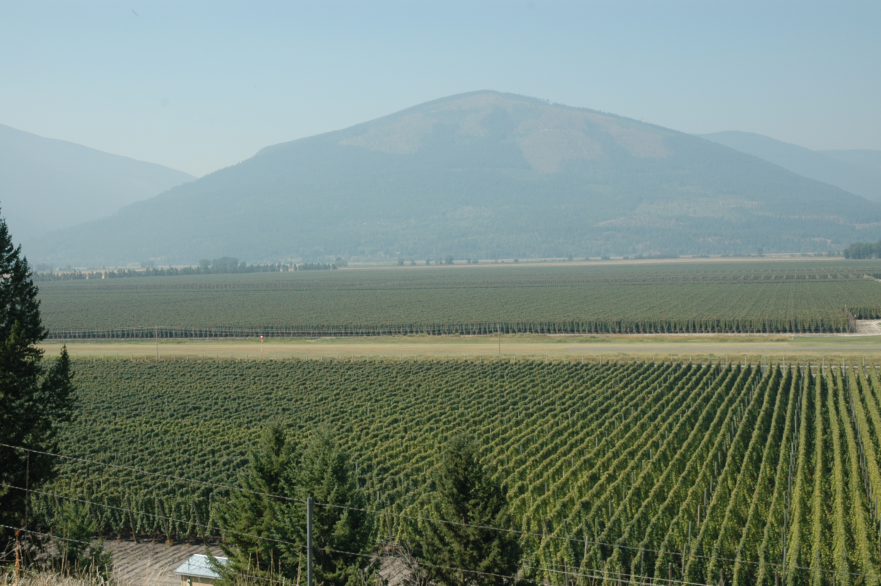
Lower Creston
Topographic Map of Arrow Creek, BC V0B, Canada
Find elevation by address:

Places in Arrow Creek, BC V0B, Canada:
Travois Nw4
Diorite N5
Diorite N4
Diorite Nw4
Diorite Nw3
Diorite Peak
Diorite Se2
Diorite Ne2
Travois N1
Travois Peak
Wirth N2
Mount Wirth
Teepee N4
Wirth S2
Teepee N3
Teepee Mountain
Mount Stevens
Teepee N1
Places near Arrow Creek, BC V0B, Canada:
4720 Goat River Rd N
1605 Lakeview Arrow Creek Rd
1126 36 Ave N
1325 Lakeview Arrow Creek Rd
4320 48 St
Erickson
Canyon
4690 Samuelson Rd
Bearbrook Road
229 19 Ave S
406 16 Ave N
1407 Hillside St
616 16 Ave S
1220 Canyon St
Creston
1322 Northwest Blvd
800 Canyon St
Lister
Mount Thompson
6170 Bc-3a
Recent Searches:
- Elevation of Corso Fratelli Cairoli, 35, Macerata MC, Italy
- Elevation of Tallevast Rd, Sarasota, FL, USA
- Elevation of 4th St E, Sonoma, CA, USA
- Elevation of Black Hollow Rd, Pennsdale, PA, USA
- Elevation of Oakland Ave, Williamsport, PA, USA
- Elevation of Pedrógão Grande, Portugal
- Elevation of Klee Dr, Martinsburg, WV, USA
- Elevation of Via Roma, Pieranica CR, Italy
- Elevation of Tavkvetili Mountain, Georgia
- Elevation of Hartfords Bluff Cir, Mt Pleasant, SC, USA