Elevation of Creston, BC V0B, Canada
Location: Canada > British Columbia >
Longitude: -116.51350
Latitude: 49.0955401
Elevation: 614m / 2014feet
Barometric Pressure: 94KPa
Elevation Map:
Satellite Map:
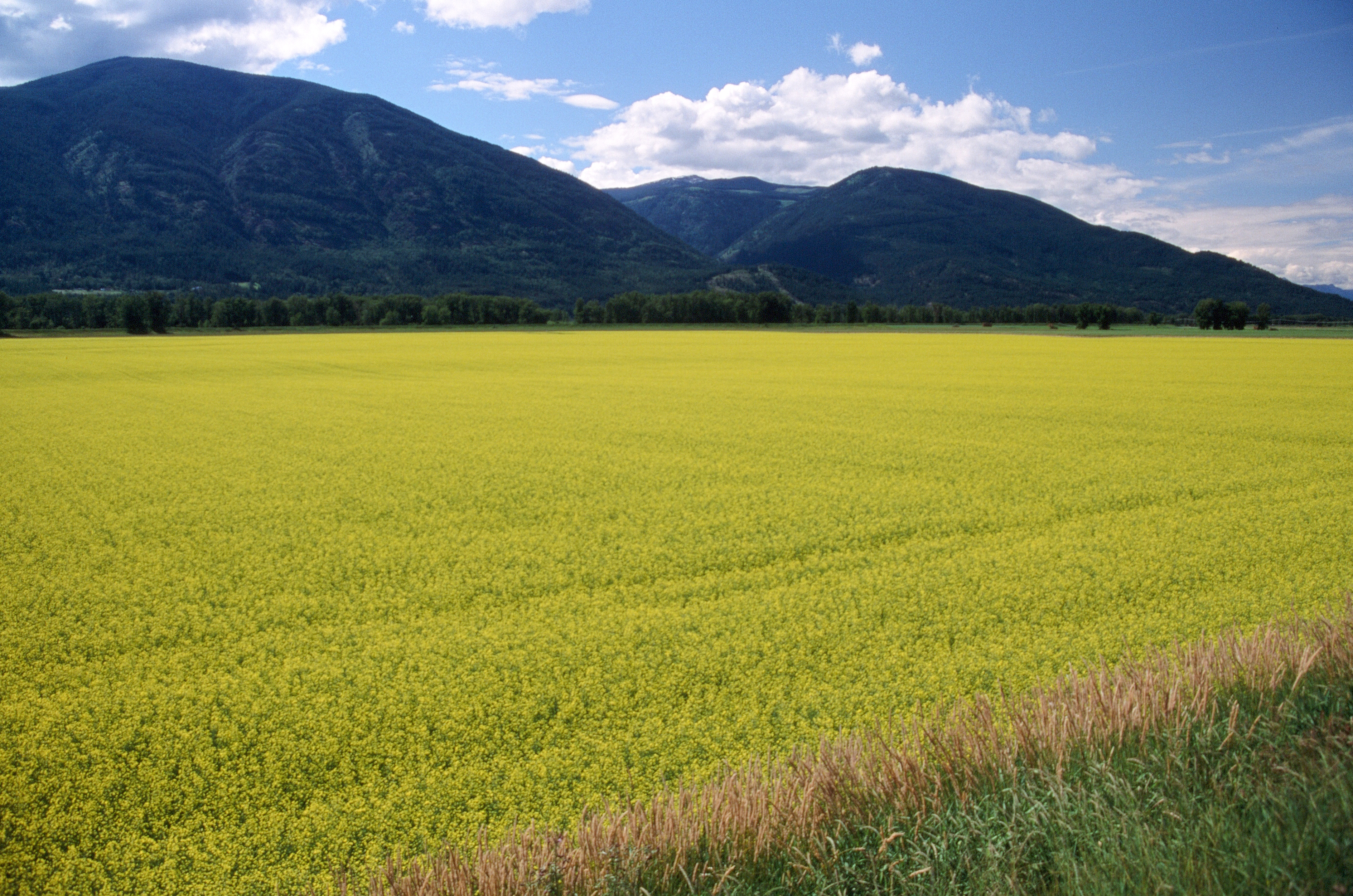
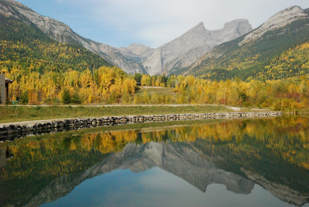
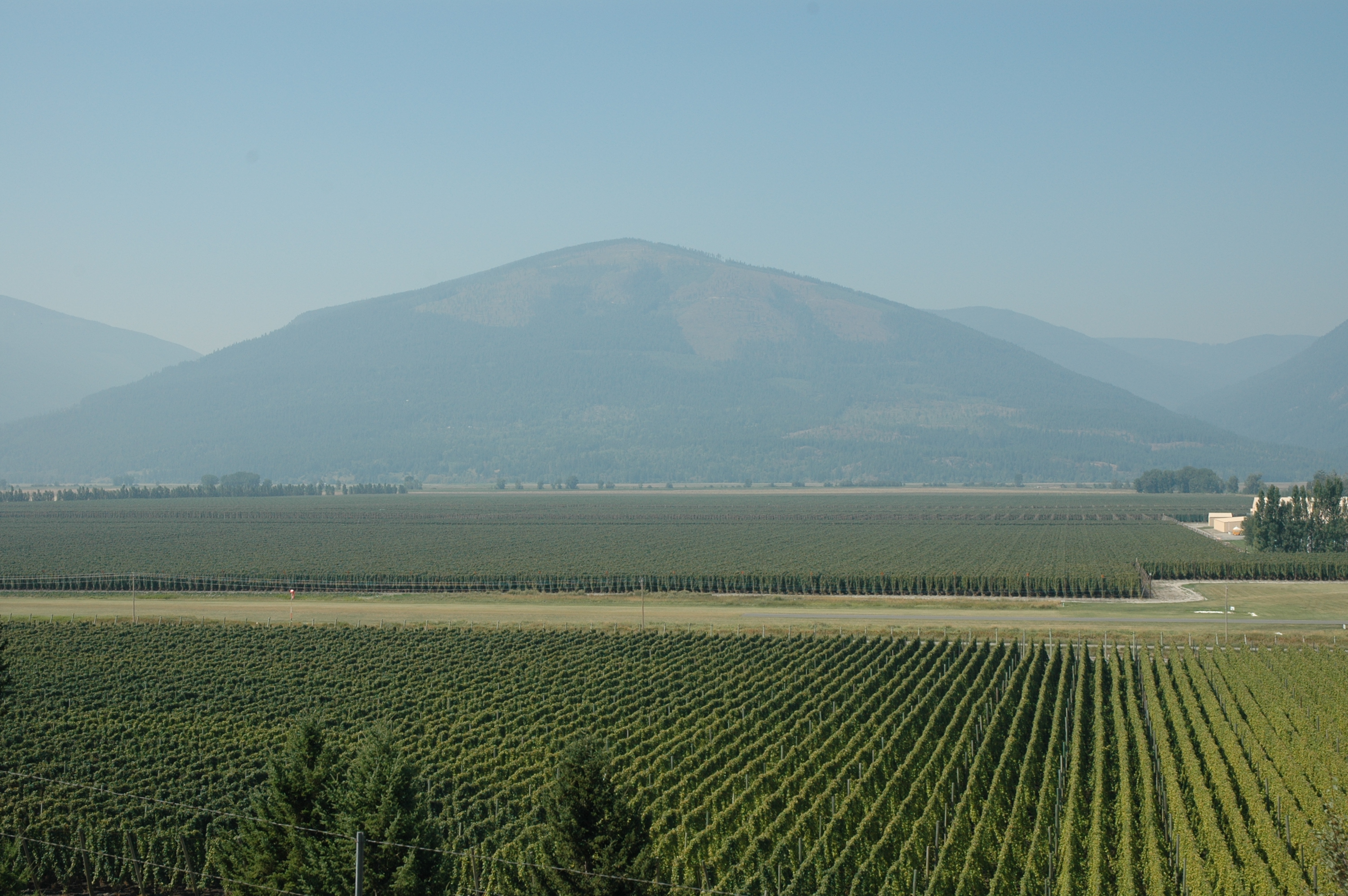
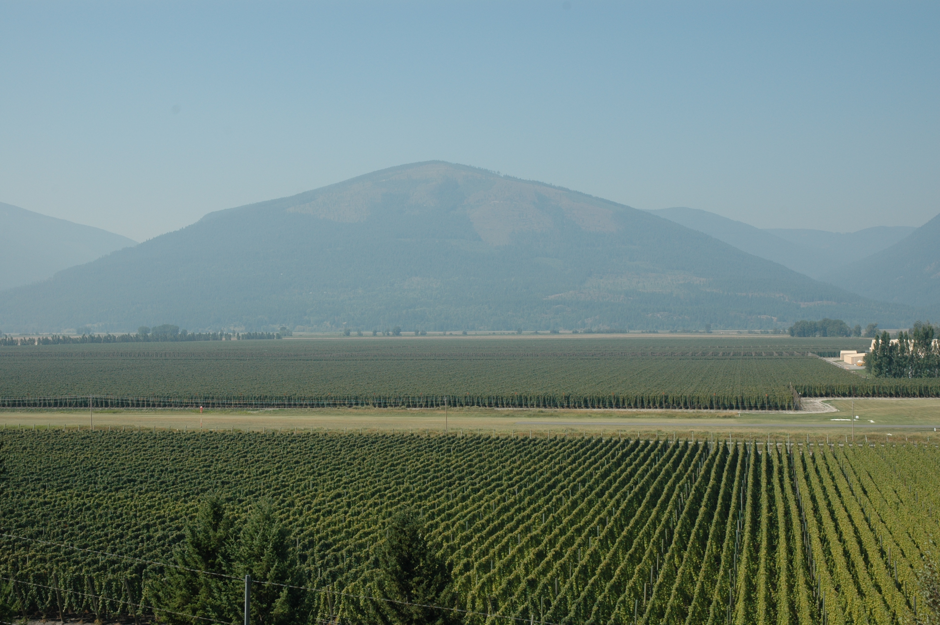
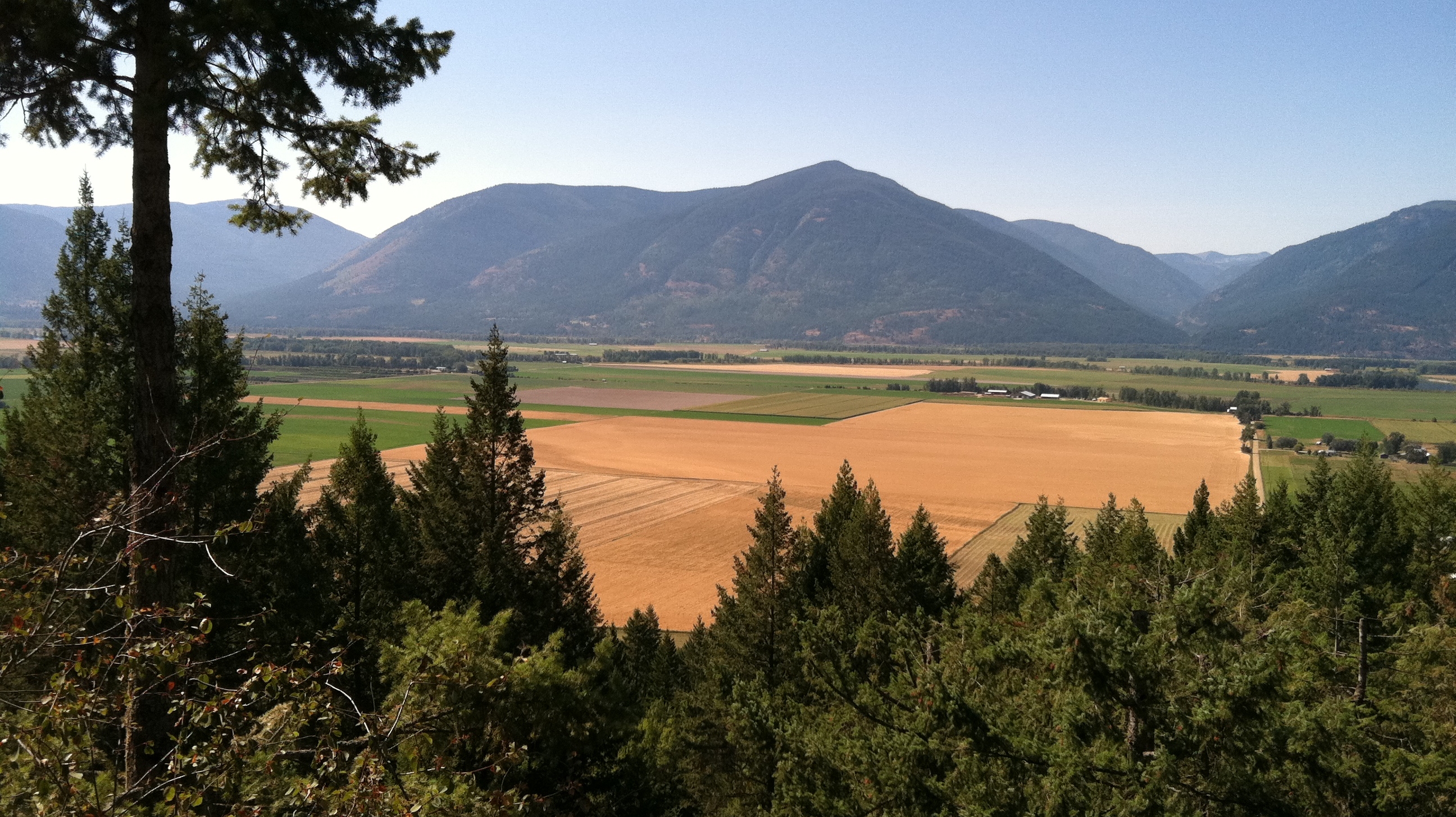
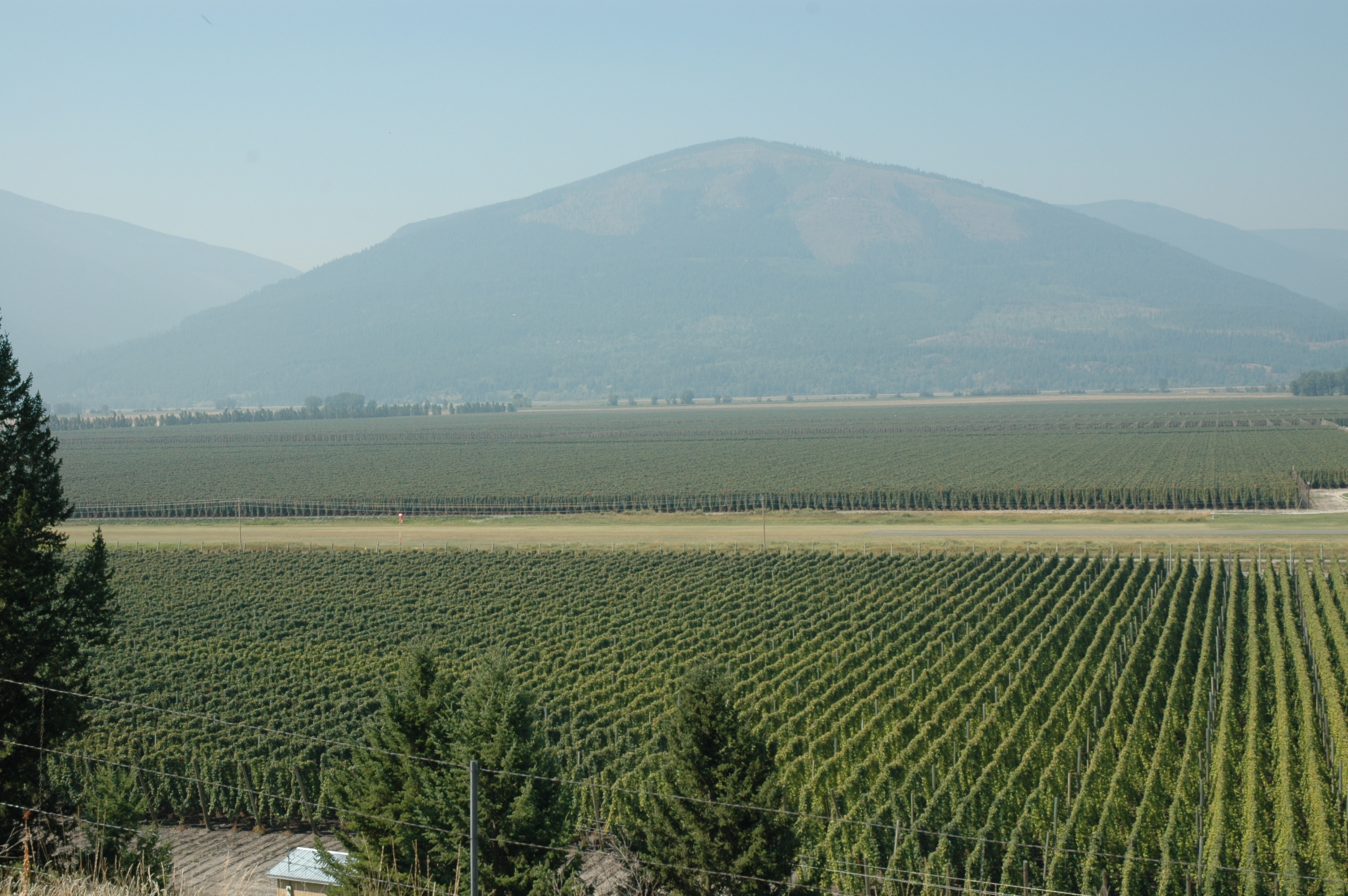
Related Photos:
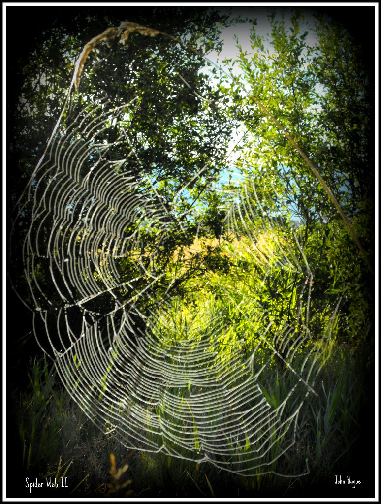
Spider Web II
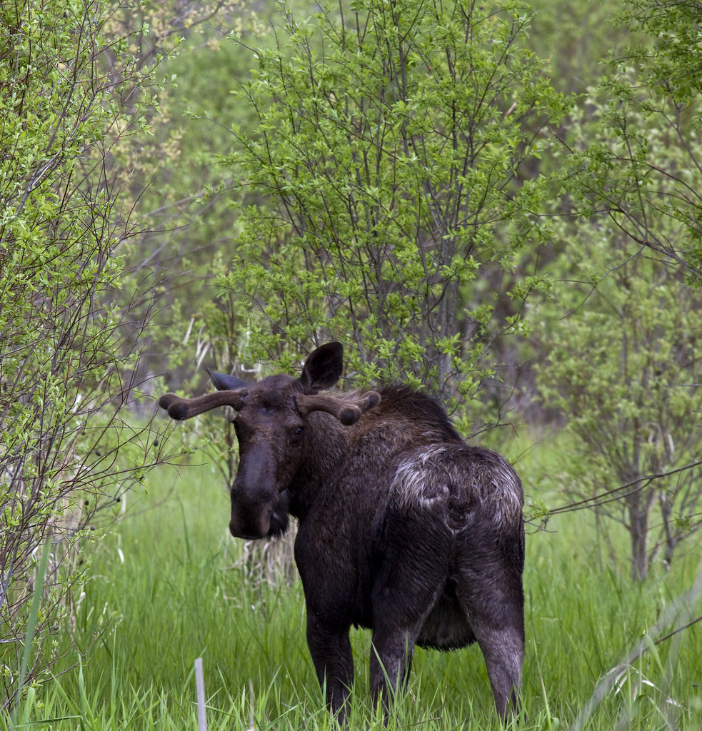
Rear View Stare
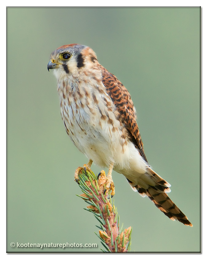
American Kestrel
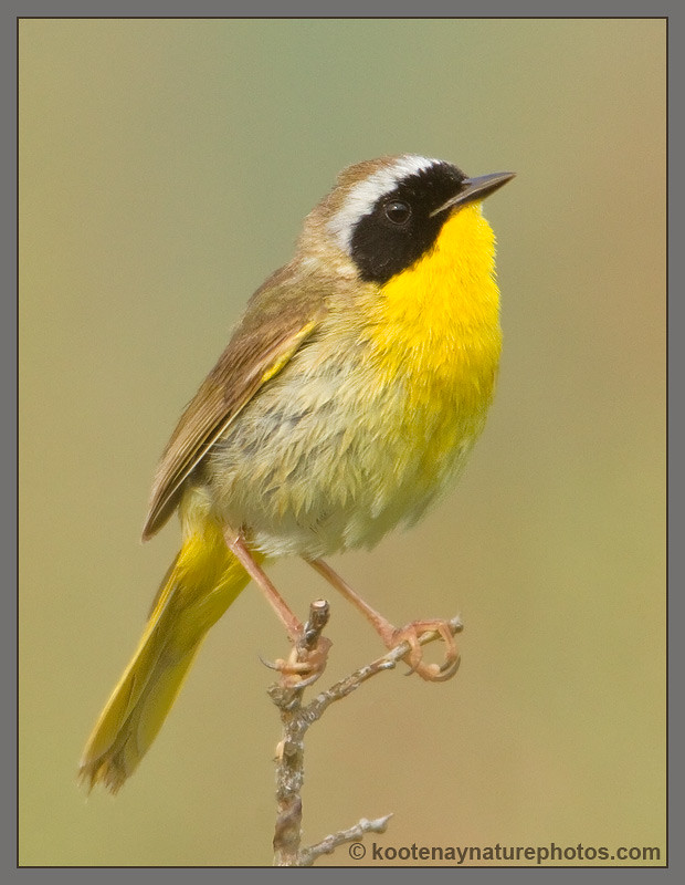
Common Yellowthroat

Savannah Sparrow

Kootenay River
19990715-007

Pine Siskin

Pine Siskin
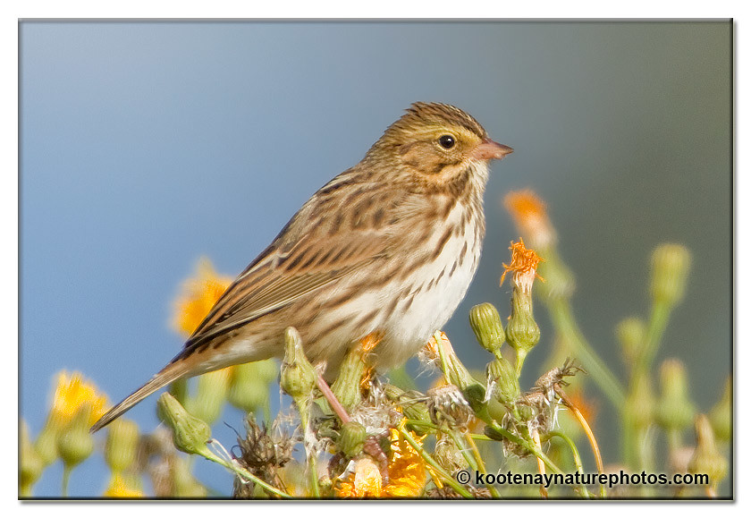
Savannah Sparrow

Savannah Sparrow
Pond behind the grocery store - 17
2006-08-15 14-09-04
2006-08-15 14-09-06
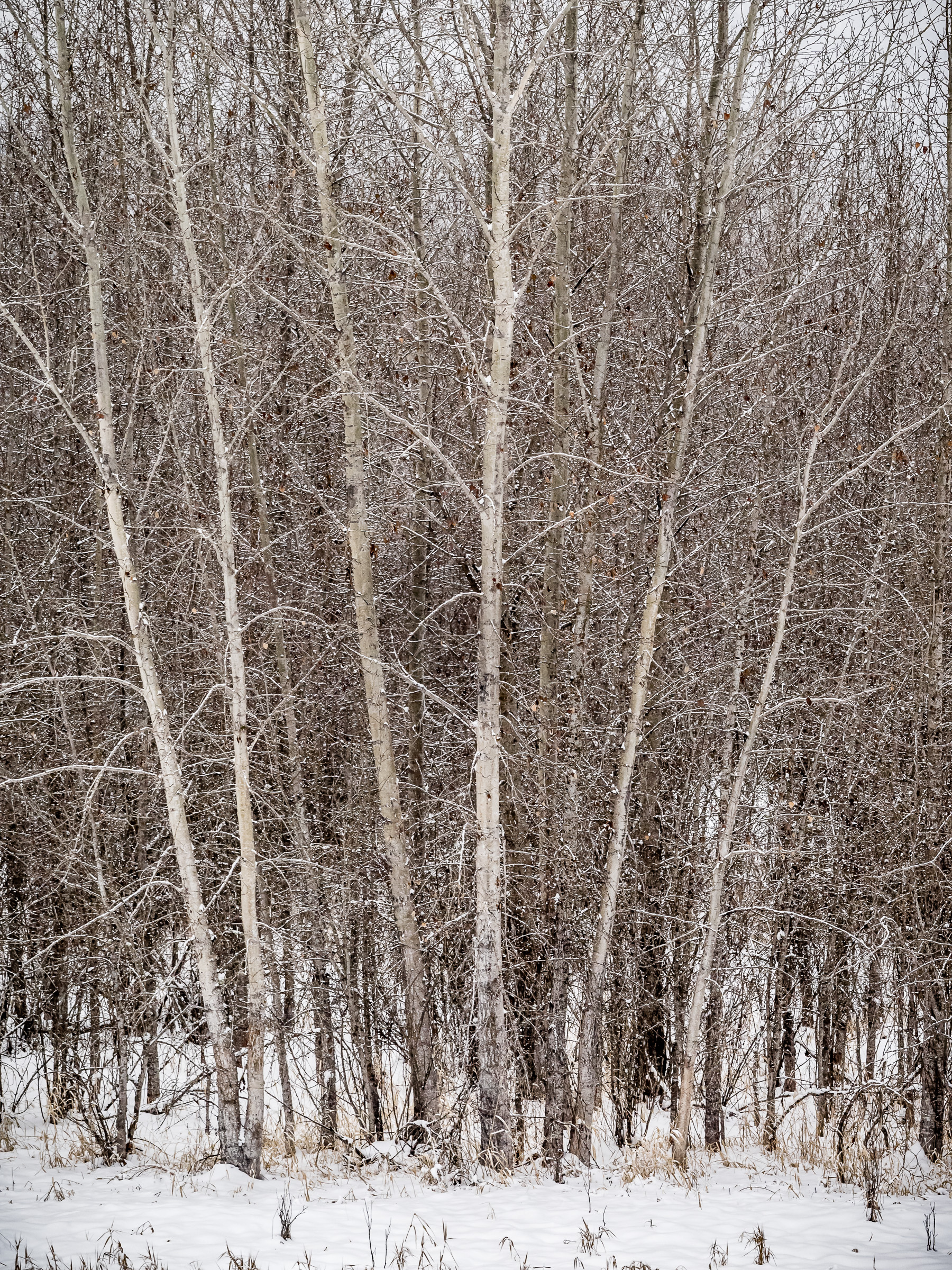
Winter Scene #1
Selkirk Dave 111
2006-08-15 14-08-51

A muddy mess to move
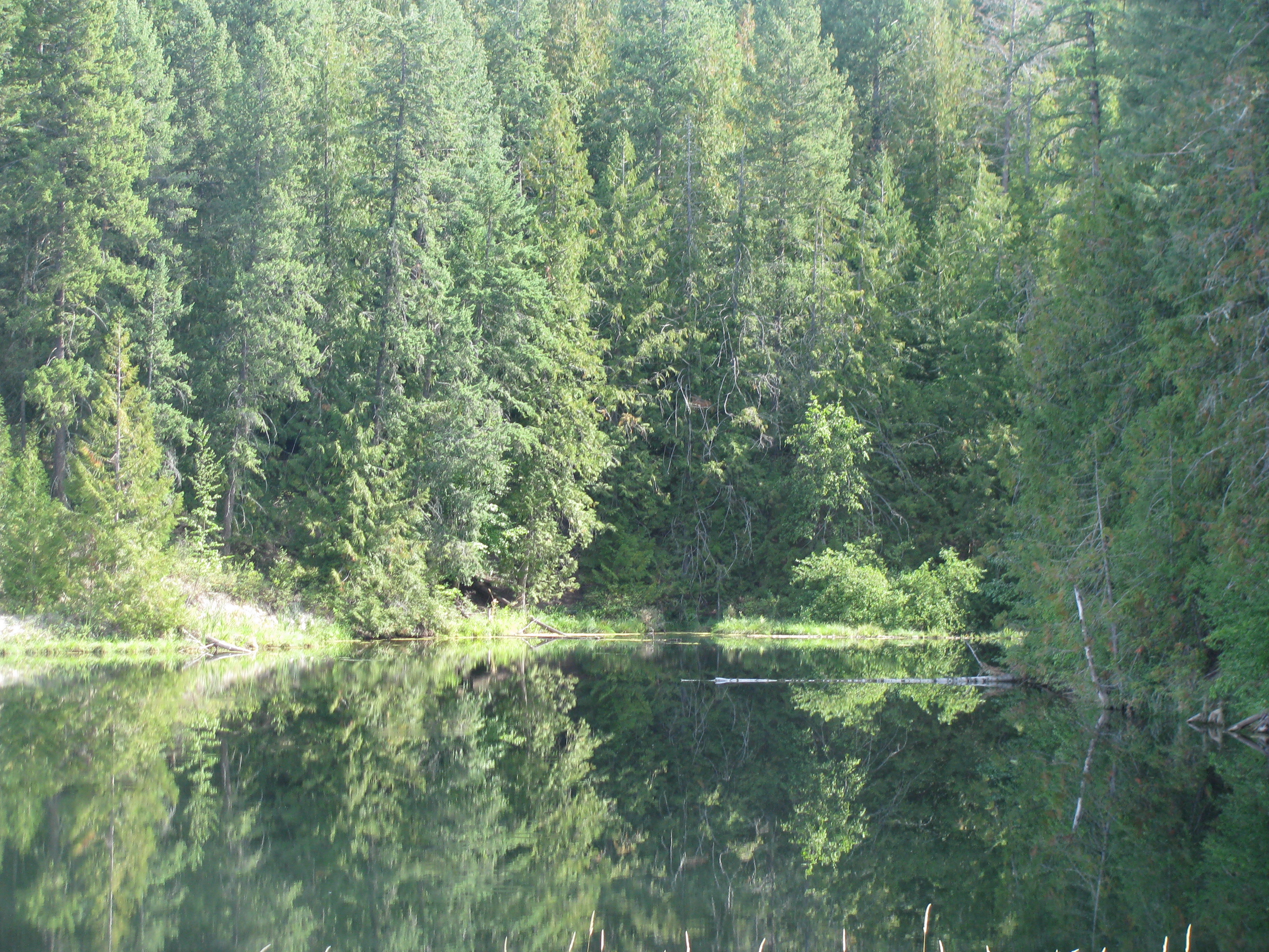
Reflections on Lake, Canada-USA Border crossing on Hwy 21

19990715-001

Selkirk Dave 142
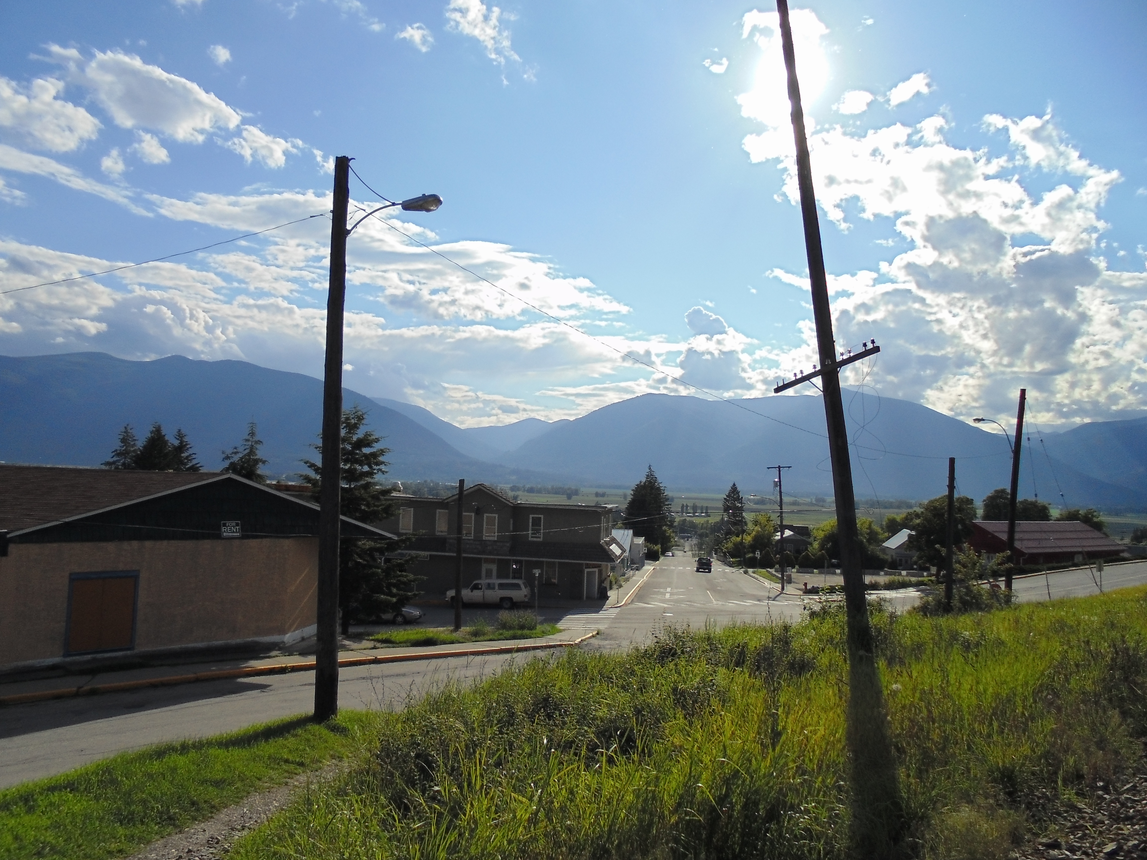
Lower Creston

2012-08-05-7858
Topographic Map of Creston, BC V0B, Canada
Find elevation by address:

Places in Creston, BC V0B, Canada:
Places near Creston, BC V0B, Canada:
800 Canyon St
1220 Canyon St
1407 Hillside St
406 16 Ave N
229 19 Ave S
616 16 Ave S
1322 Northwest Blvd
Erickson
1126 36 Ave N
6170 Bc-3a
Lister
Bearbrook Road
Canyon
1605 Lakeview Arrow Creek Rd
1325 Lakeview Arrow Creek Rd
4320 48 St
4475 Bc-3a
4475 Bc-3a
Arrow Creek
4720 Goat River Rd N
Recent Searches:
- Elevation of Corso Fratelli Cairoli, 35, Macerata MC, Italy
- Elevation of Tallevast Rd, Sarasota, FL, USA
- Elevation of 4th St E, Sonoma, CA, USA
- Elevation of Black Hollow Rd, Pennsdale, PA, USA
- Elevation of Oakland Ave, Williamsport, PA, USA
- Elevation of Pedrógão Grande, Portugal
- Elevation of Klee Dr, Martinsburg, WV, USA
- Elevation of Via Roma, Pieranica CR, Italy
- Elevation of Tavkvetili Mountain, Georgia
- Elevation of Hartfords Bluff Cir, Mt Pleasant, SC, USA