Elevation of Diorite SE2, East Kootenay E, BC V0B, Canada
Location: Canada > British Columbia > Arrow Creek >
Longitude: -115.53777
Latitude: 49.9469444
Elevation: 2409m / 7904feet
Barometric Pressure: 76KPa
Elevation Map:
Satellite Map:
Related Photos:
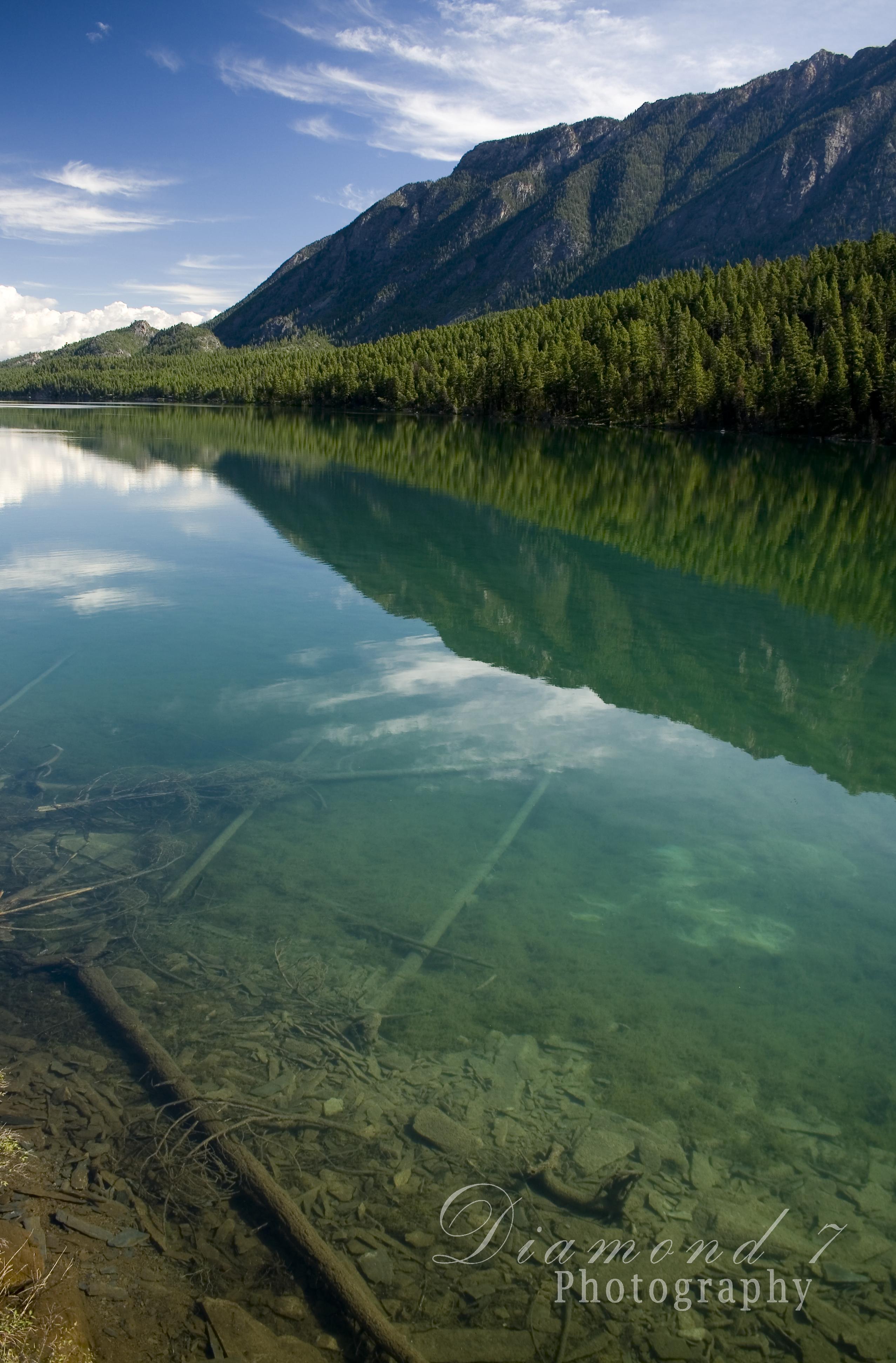
Premier Lake
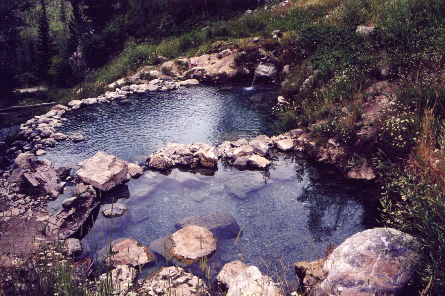
Lussier River Hot Springs, British Columbia

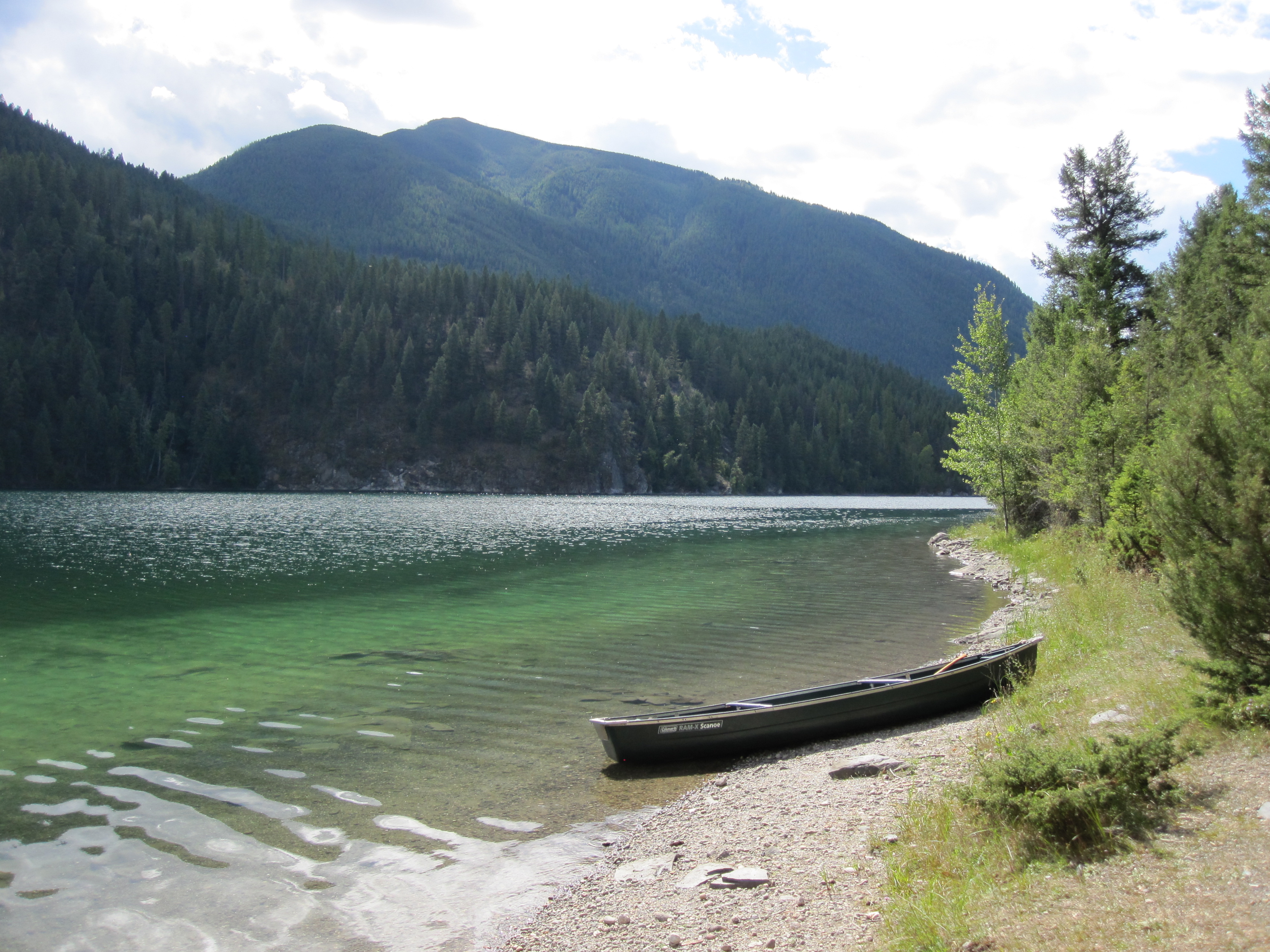
Quartz (Rockbluff) Lake, BC, Canada
08 Calvin Visit 2013 Lussier
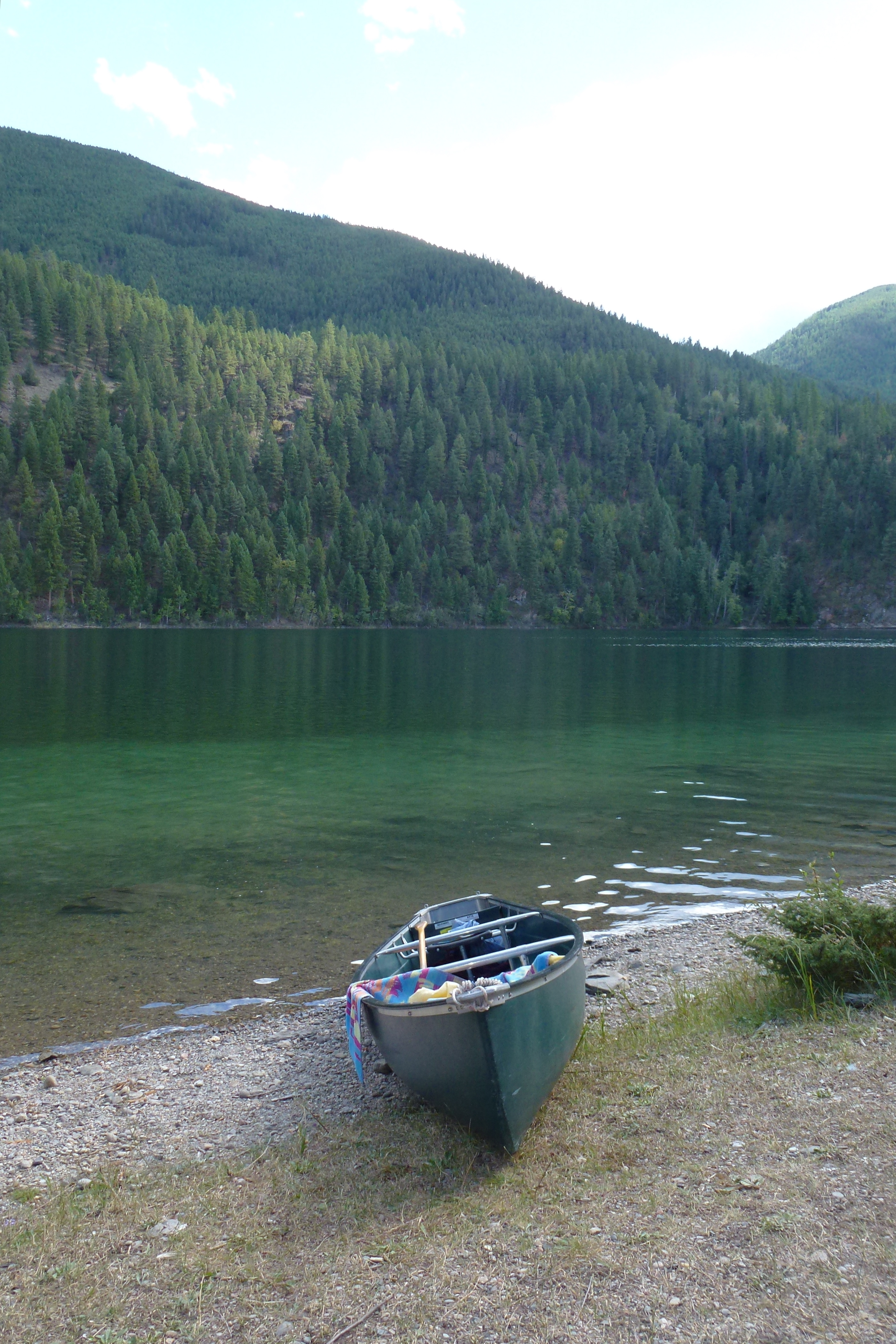
Lazy Lake

Looking out over Premier Lake

07 Calvin Visit 2013 Lussier
2011 09 13_0693
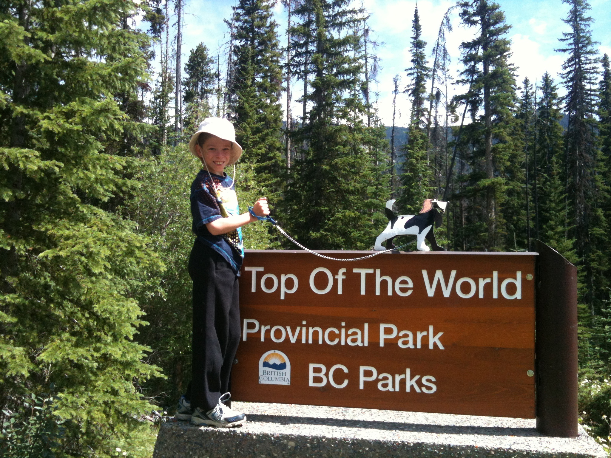
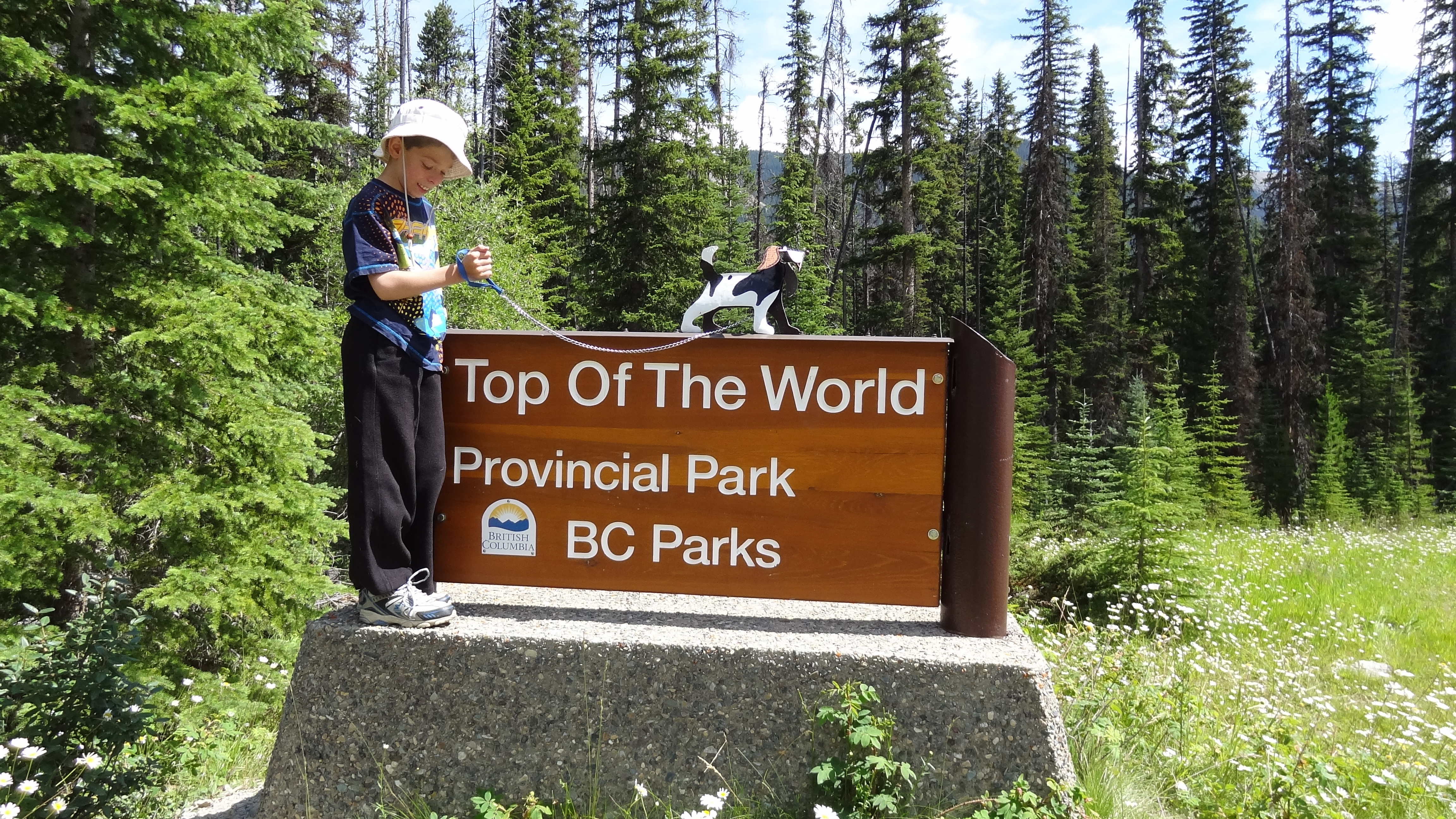
Top of the World provincial park sign

04 Calvin Visit 2013 Lussier
05 Calvin Visit 2013 Lussier
06 Calvin Visit 2013 Lussier

chipmunk at premier lake
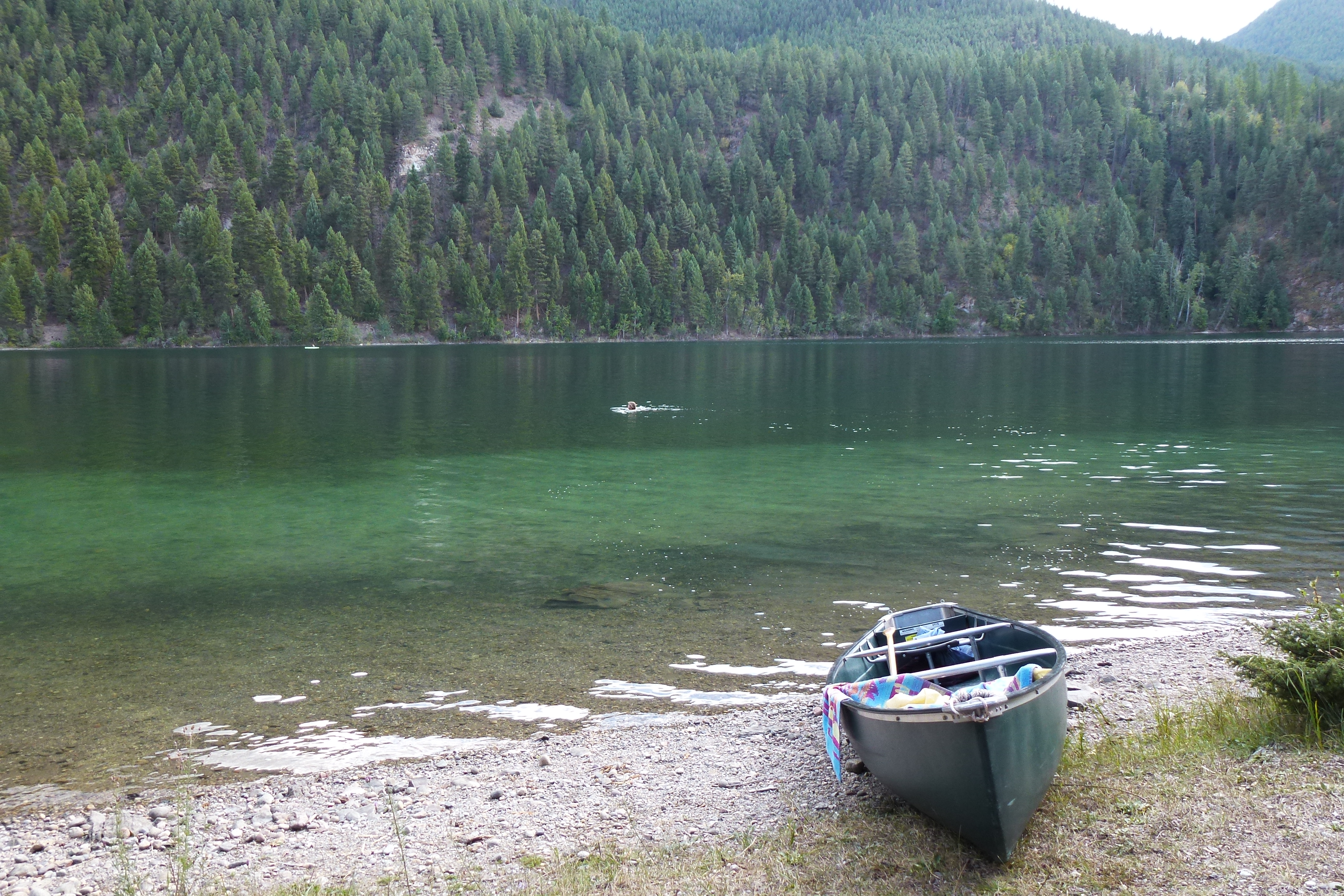
Lazy Lake
Lazy Lake
Lazy Lake

Lazy Lake
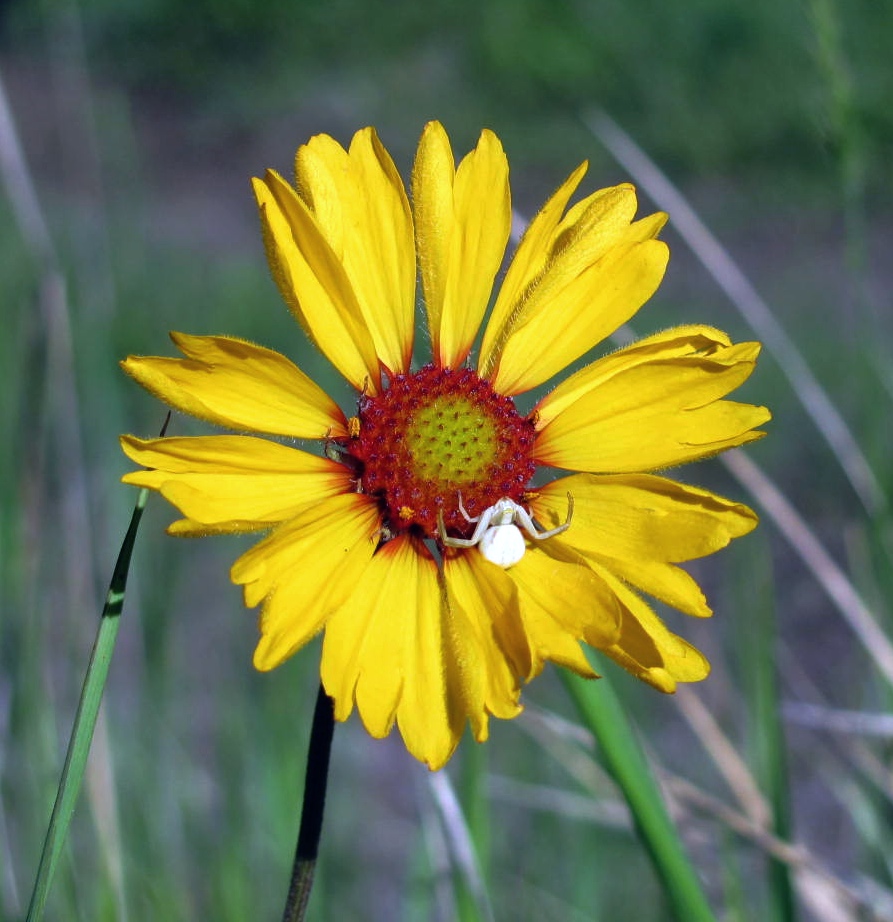
Crab Spider on a Brown Eyed Susan
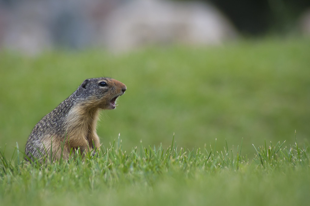
Ground Squirrel
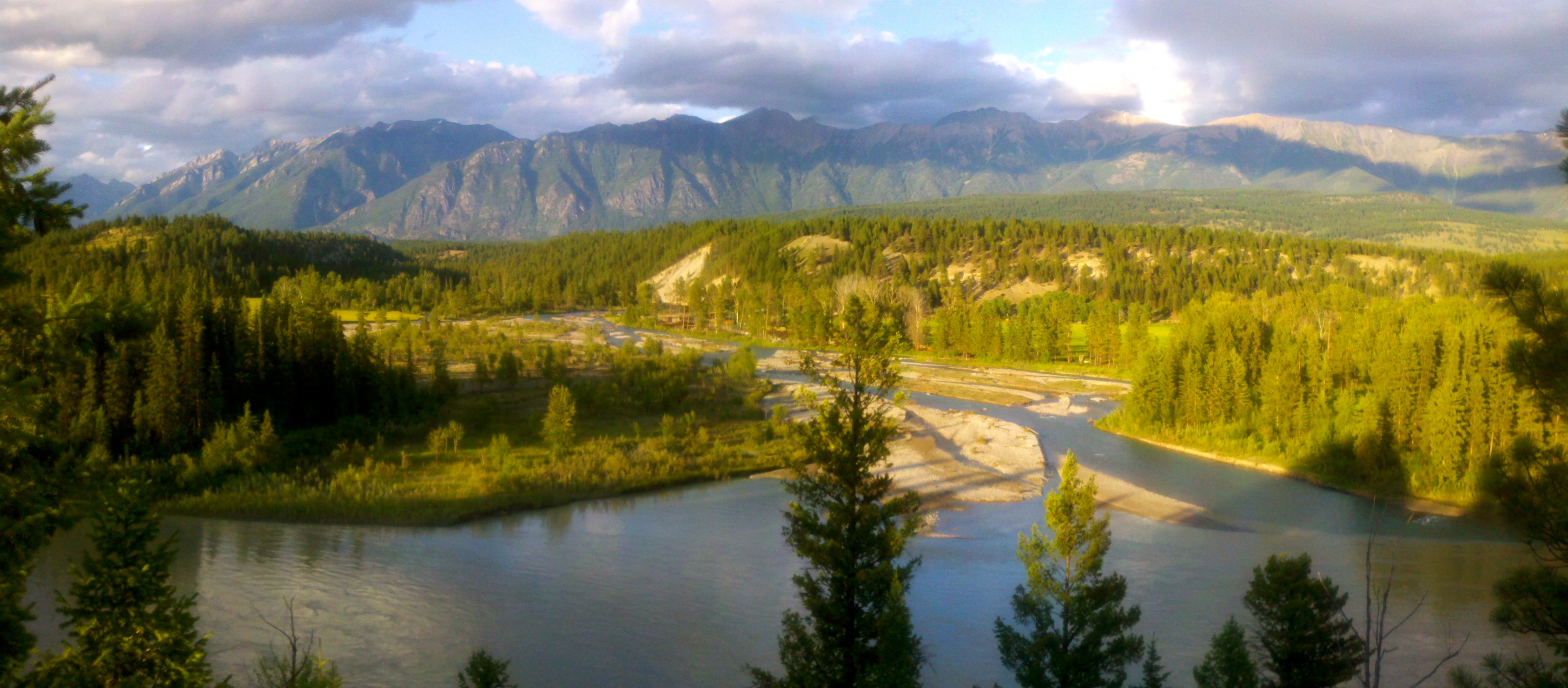
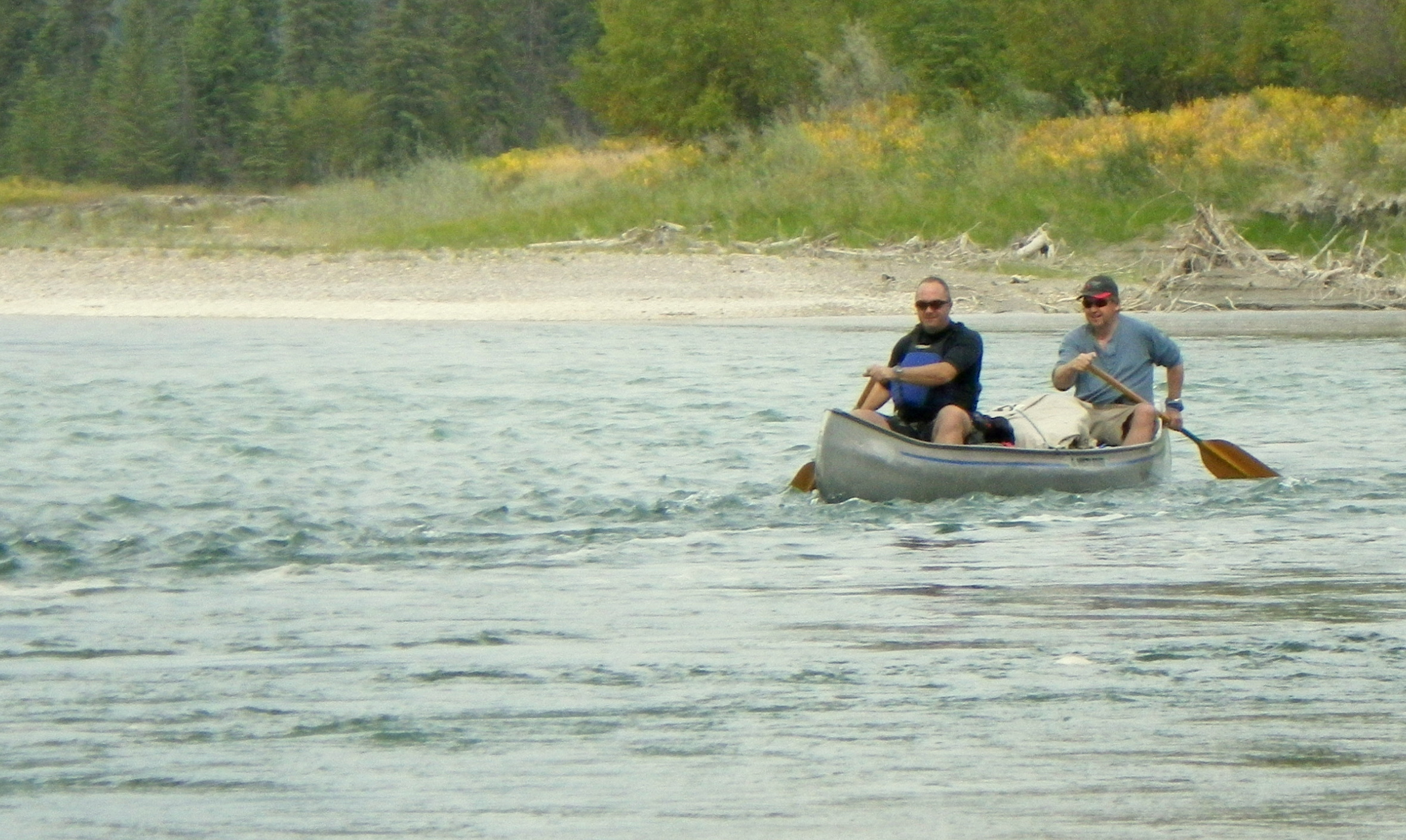
Kootenay River

Fish Ladder
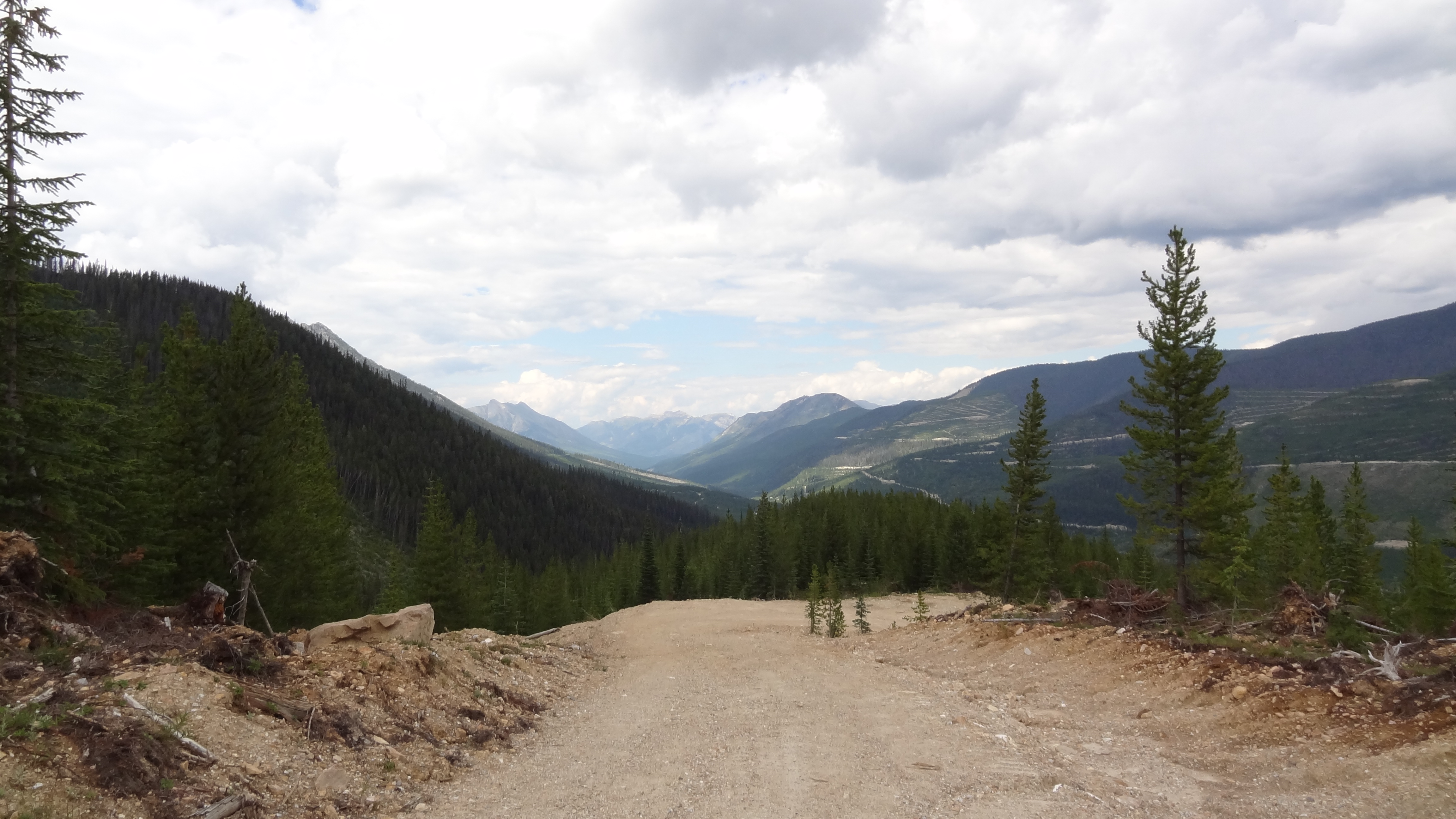
Heading to Premier Lake
Topographic Map of Diorite SE2, East Kootenay E, BC V0B, Canada
Find elevation by address:

Places near Diorite SE2, East Kootenay E, BC V0B, Canada:
Diorite Peak
Diorite Ne2
Wirth N2
Travois N1
Diorite Nw3
Travois Peak
Mount Wirth
Diorite N4
Diorite N5
Travois Nw4
Teepee N4
Wirth S2
Diorite Nw4
Teepee N3
Teepee N1
Shark Tooth S4
Mclean Peak
Teepee Mountain
Mount Stevens
Shark Tooth Se1
Recent Searches:
- Elevation of Corso Fratelli Cairoli, 35, Macerata MC, Italy
- Elevation of Tallevast Rd, Sarasota, FL, USA
- Elevation of 4th St E, Sonoma, CA, USA
- Elevation of Black Hollow Rd, Pennsdale, PA, USA
- Elevation of Oakland Ave, Williamsport, PA, USA
- Elevation of Pedrógão Grande, Portugal
- Elevation of Klee Dr, Martinsburg, WV, USA
- Elevation of Via Roma, Pieranica CR, Italy
- Elevation of Tavkvetili Mountain, Georgia
- Elevation of Hartfords Bluff Cir, Mt Pleasant, SC, USA