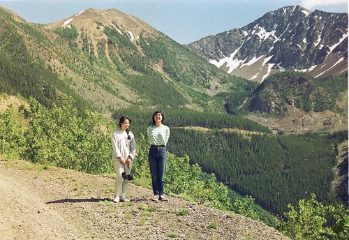
Elevation of Teepee N1, East Kootenay E, BC V0B, Canada
Location: Canada > British Columbia > Arrow Creek >
Longitude: -115.57666
Latitude: 49.8658333
Elevation: 2579m / 8461feet
Barometric Pressure: 74KPa
Related Photos:
Topographic Map of Teepee N1, East Kootenay E, BC V0B, Canada
Find elevation by address:

Places near Teepee N1, East Kootenay E, BC V0B, Canada:
Teepee N3
Teepee Mountain
Mount Stevens
Teepee N4
Travois Peak
Wirth S2
Mount Wirth
Travois N1
Wirth N2
Travois Nw4
Diorite Se2
Diorite Peak
Diorite Ne2
Diorite Nw3
Diorite Nw4
Diorite N4
Diorite N5
Fish Lake
Skookumchuck
Shark Tooth S4
Recent Searches:
- Elevation of Corso Fratelli Cairoli, 35, Macerata MC, Italy
- Elevation of Tallevast Rd, Sarasota, FL, USA
- Elevation of 4th St E, Sonoma, CA, USA
- Elevation of Black Hollow Rd, Pennsdale, PA, USA
- Elevation of Oakland Ave, Williamsport, PA, USA
- Elevation of Pedrógão Grande, Portugal
- Elevation of Klee Dr, Martinsburg, WV, USA
- Elevation of Via Roma, Pieranica CR, Italy
- Elevation of Tavkvetili Mountain, Georgia
- Elevation of Hartfords Bluff Cir, Mt Pleasant, SC, USA
