Elevation of AR-15, Tucker, AR, USA
Location: United States > Arkansas > Jefferson County >
Longitude: -91.954567
Latitude: 34.4594046
Elevation: 70m / 230feet
Barometric Pressure: 100KPa
Elevation Map:
Satellite Map:
Related Photos:
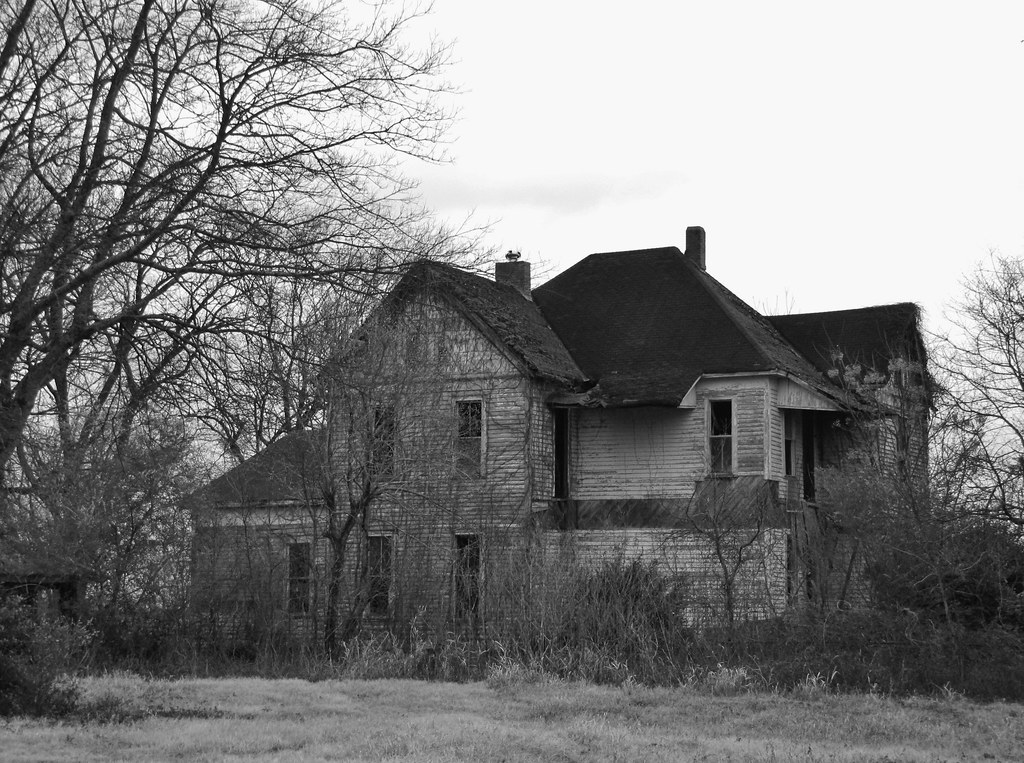
IMG_4215

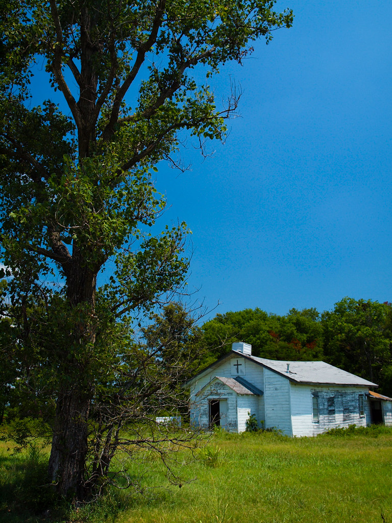
IMG_0272

IMG_0247

IMG_0269

IMG_0252
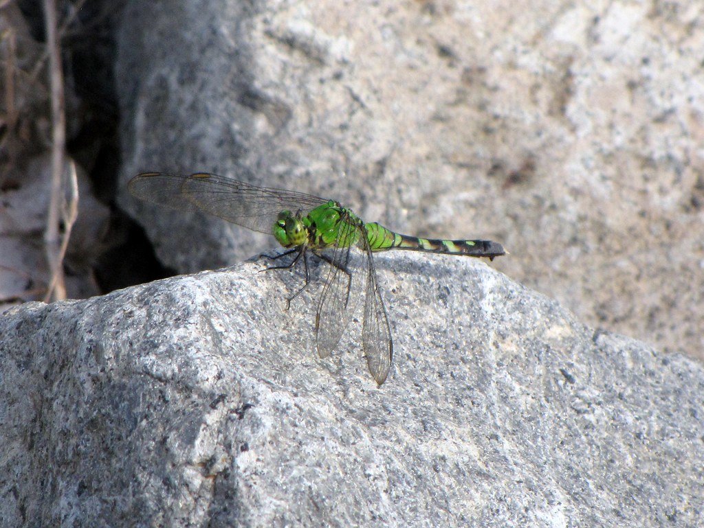
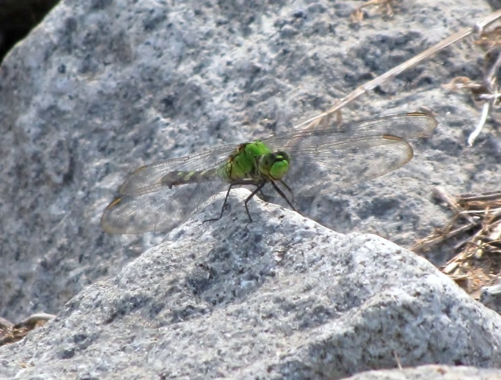
P7303467

IMG_0271

IMG_0268
IMG_4383
IMG_4377

IMG_0242
IMG_0244
IMG_4378
IMG_4381
IMG_4382

IMG_0267

IMG_0245
Plum Bayou
Topographic Map of AR-15, Tucker, AR, USA
Find elevation by address:

Places near AR-15, Tucker, AR, USA:
Cotton St, Sherrill, AR, USA
Gum Woods Township
Dudley Lake Township
Lake St, Sherrill, AR, USA
Sherrill
S Main St, England, AR, USA
England
Bolivar Township
Hwy 31, England, AR, USA
Walker Rd, Altheimer, AR, USA
Hwy 31 S, Lonoke, AR, USA
AR-, Tucker, AR, USA
Indian Bayou Township
Plum Bayou Township
Lafayette Township
Wampoo Rd, England, AR, USA
Battle Chapel Loop, Altheimer, AR, USA
Hendricks Road
Altheimer
Warren Rd, England, AR, USA
Recent Searches:
- Elevation of Corso Fratelli Cairoli, 35, Macerata MC, Italy
- Elevation of Tallevast Rd, Sarasota, FL, USA
- Elevation of 4th St E, Sonoma, CA, USA
- Elevation of Black Hollow Rd, Pennsdale, PA, USA
- Elevation of Oakland Ave, Williamsport, PA, USA
- Elevation of Pedrógão Grande, Portugal
- Elevation of Klee Dr, Martinsburg, WV, USA
- Elevation of Via Roma, Pieranica CR, Italy
- Elevation of Tavkvetili Mountain, Georgia
- Elevation of Hartfords Bluff Cir, Mt Pleasant, SC, USA