Elevation of Warren Rd, England, AR, USA
Location: United States > Arkansas > Lonoke County > Lafayette Township >
Longitude: -92.017373
Latitude: 34.634216
Elevation: 72m / 236feet
Barometric Pressure: 100KPa
Elevation Map:
Satellite Map:
Related Photos:
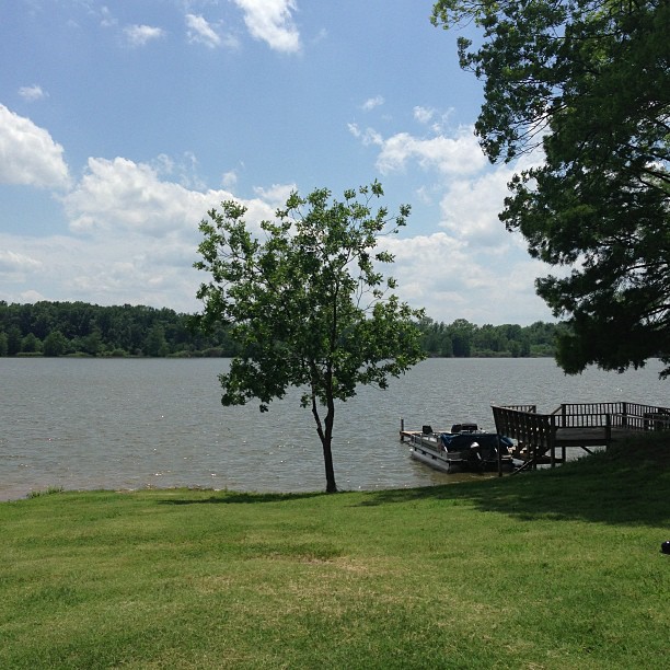
Peaceful and serene views at the lake with the McValleys #memorialday2013
IMG_0228 (2)

windows at Cotham's
IMG_0229 (2)
IMG_0226 (2)
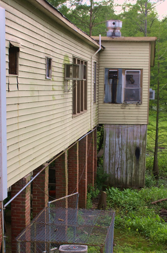
around the side

Plum Bayou

Arkansas River island near mile marker 101
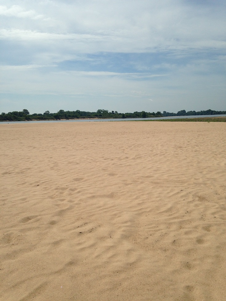
Arkansas River island near mile marker 101
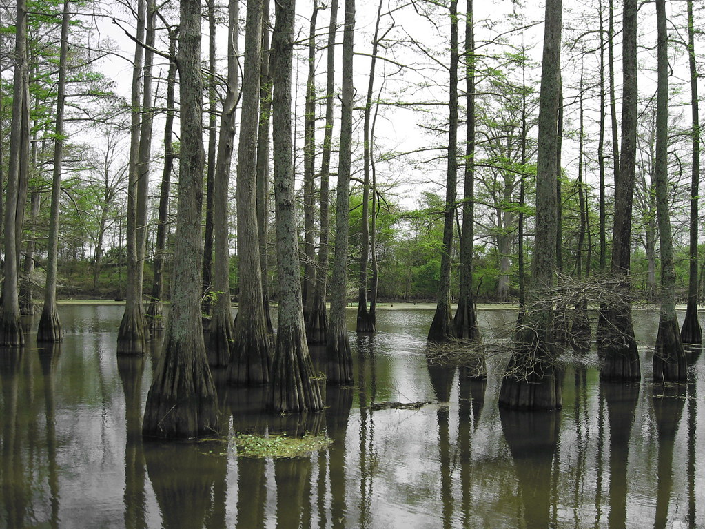
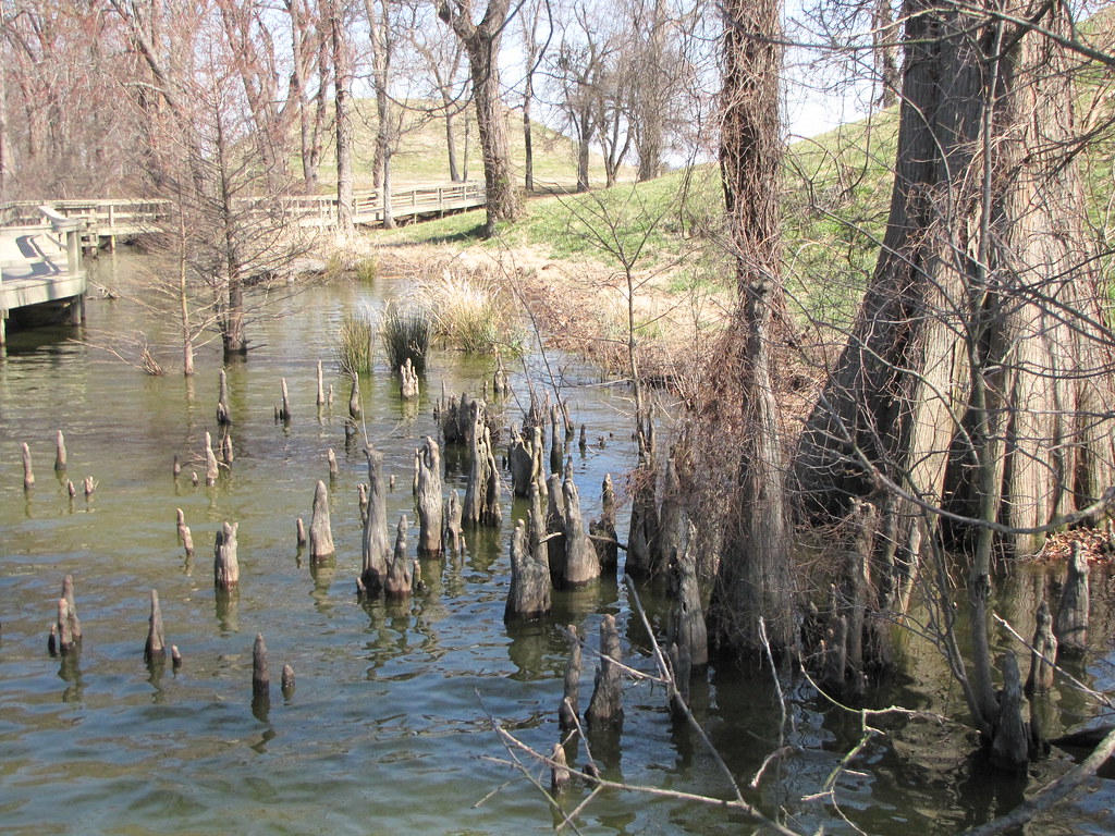
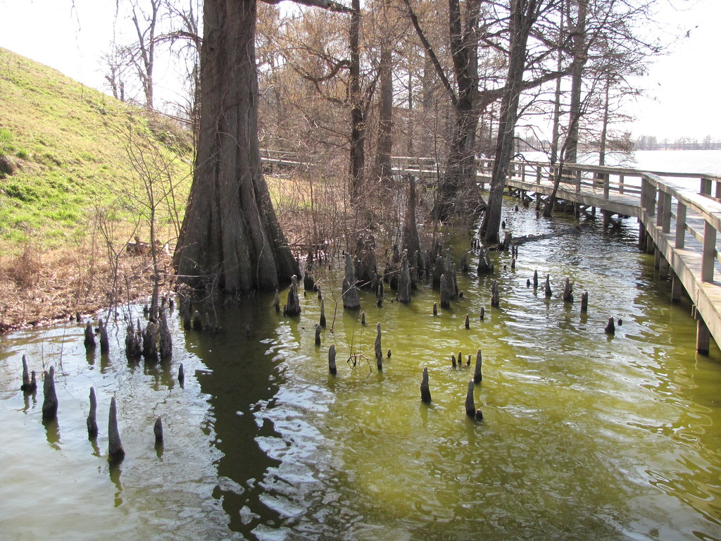
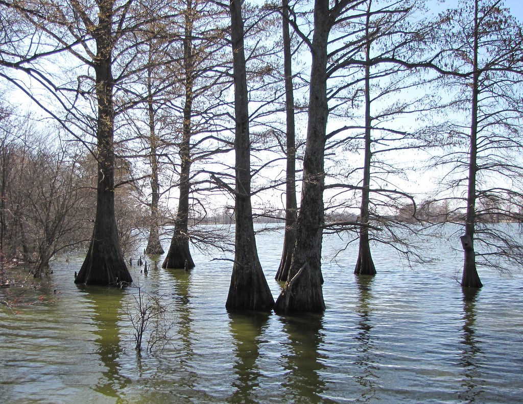
Arkansas Swamp
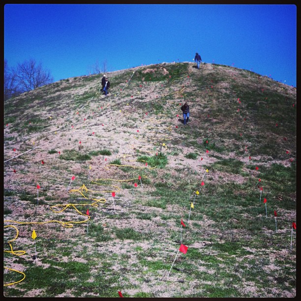
ERT remote sensing on Mound B at Toltec Mounds
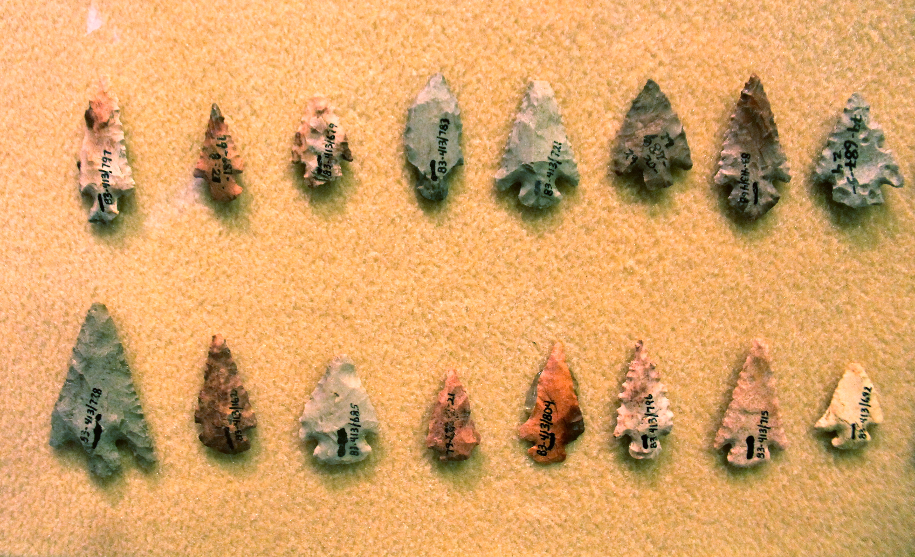
Chert Arrowheads
Ghosts of the Past
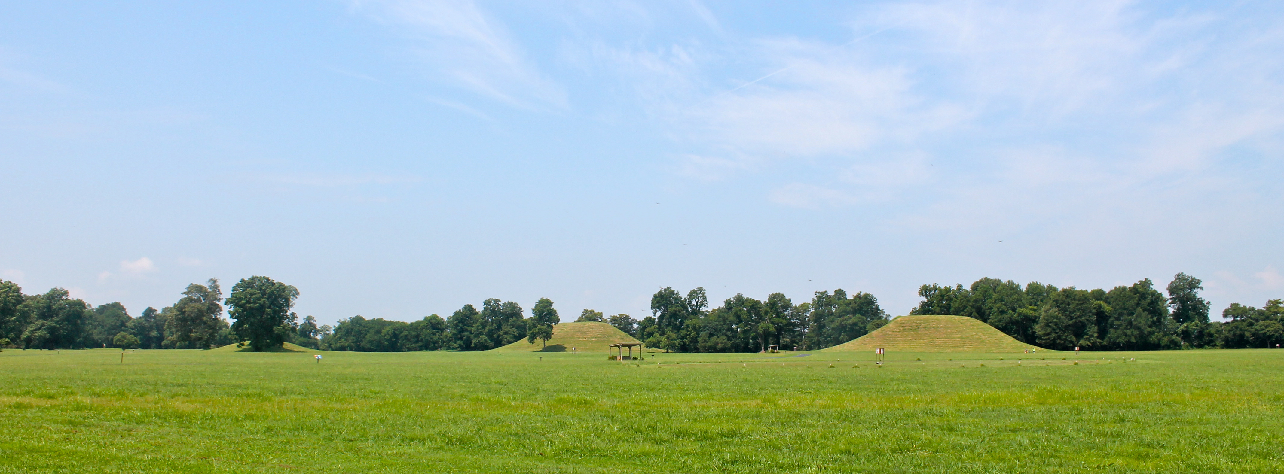
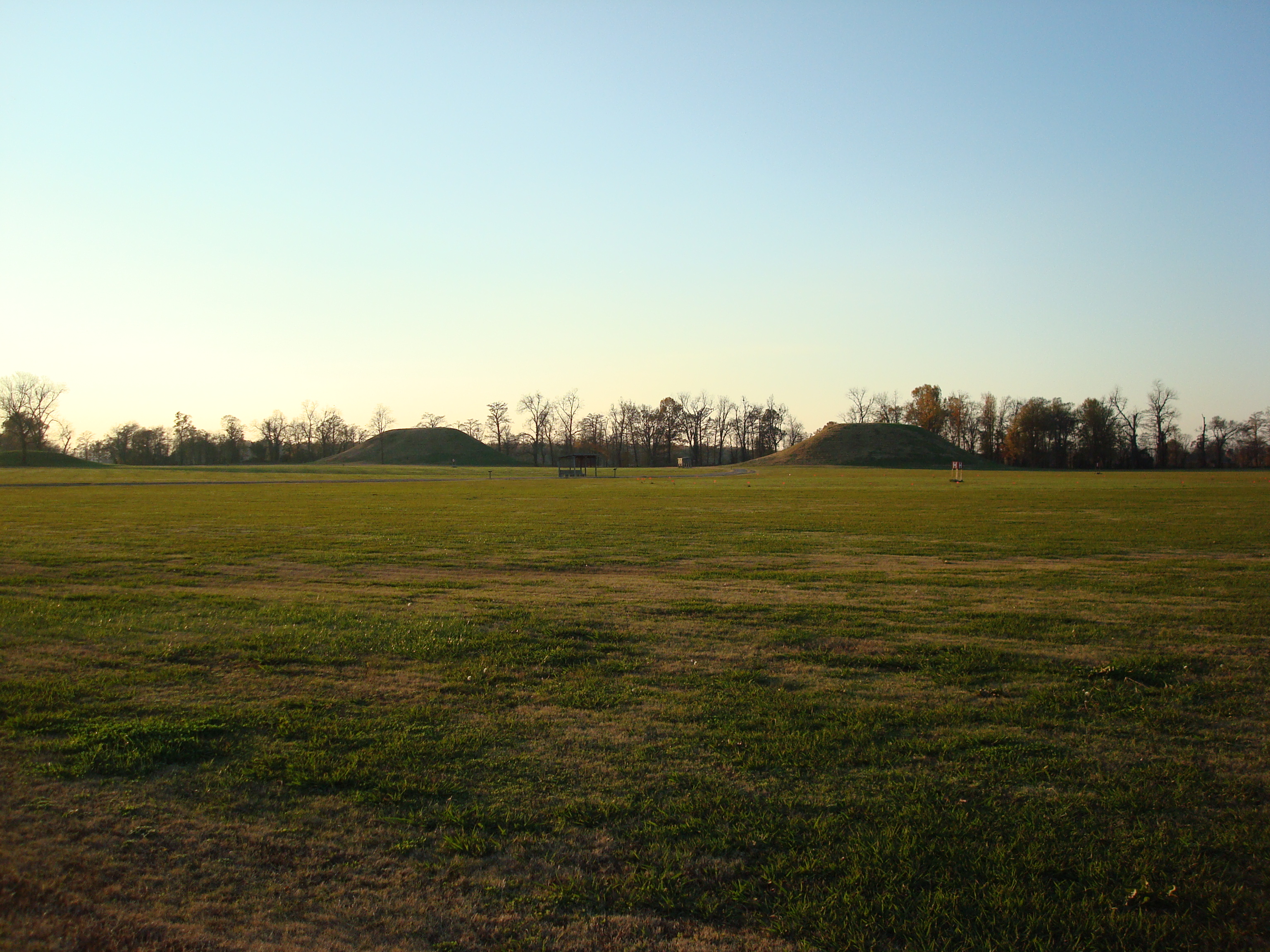
Indian Mounds

ERT remote sensing at Mound B at Toltec Mounds...
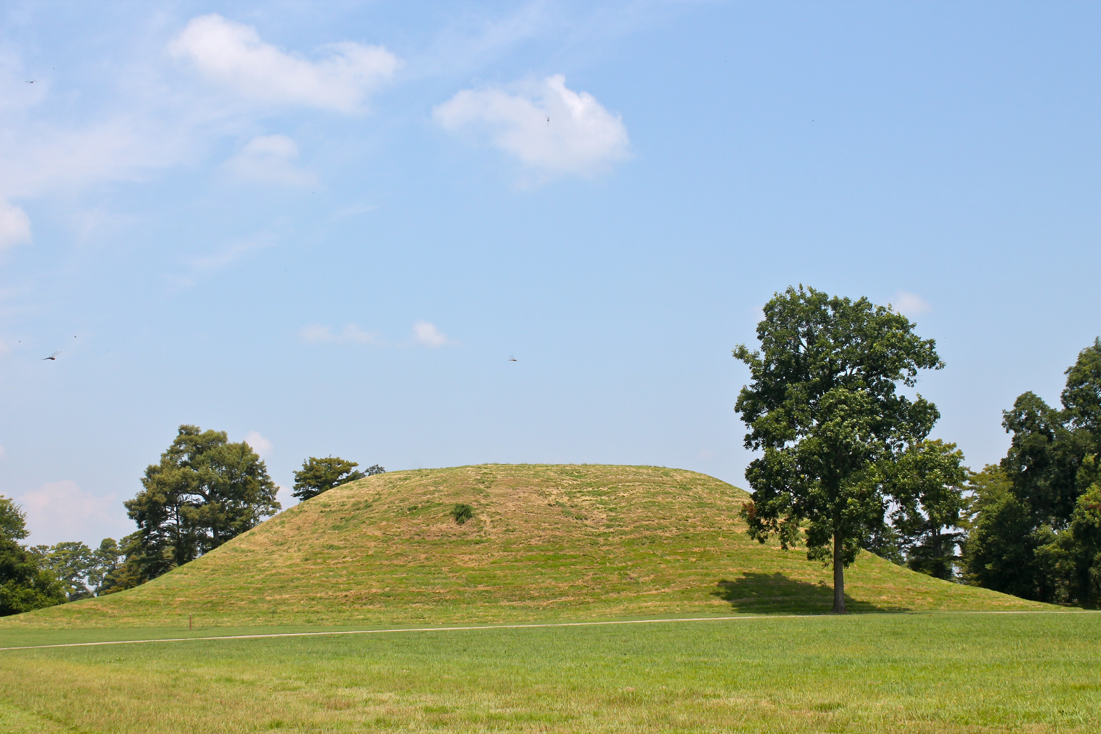
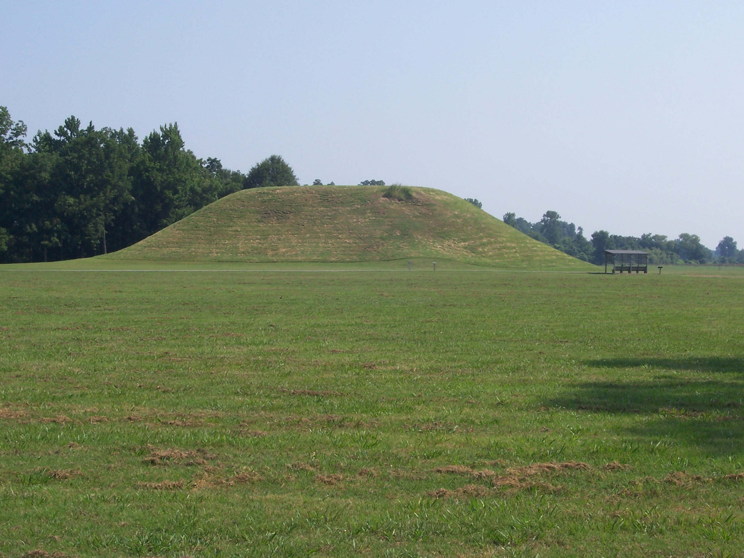
Mound A

Mound C
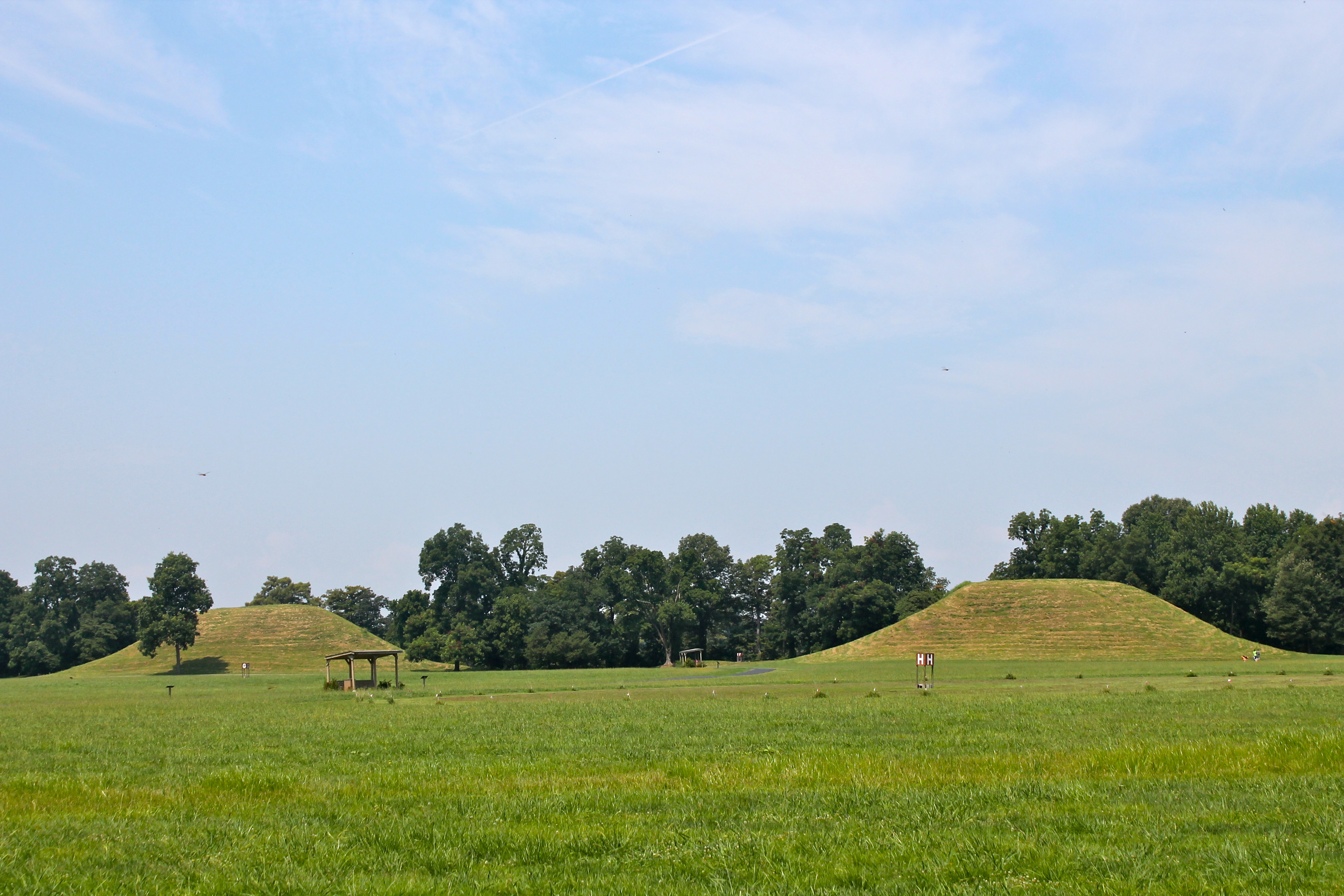
Toltec Mounds
Follow-Through
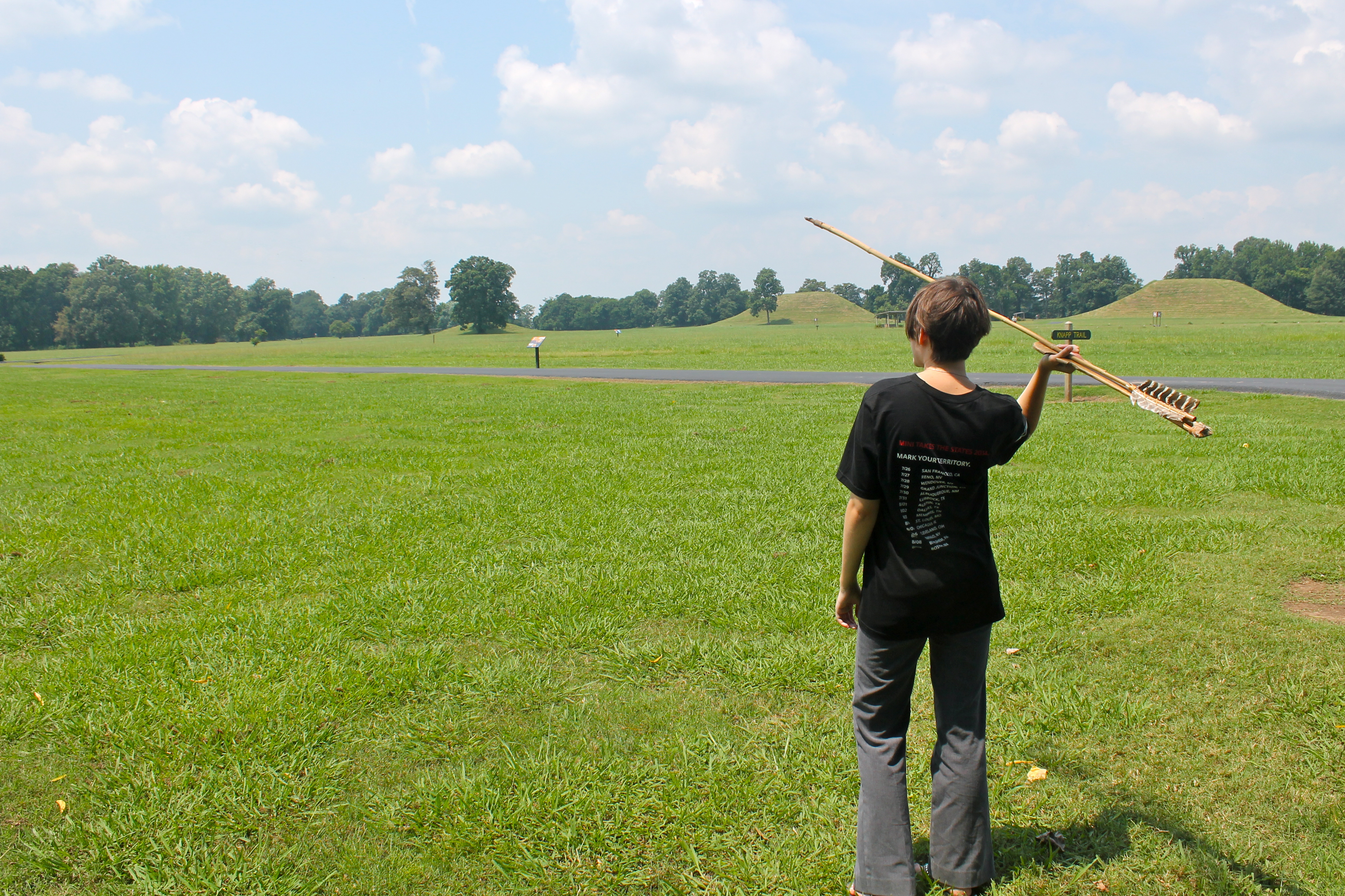
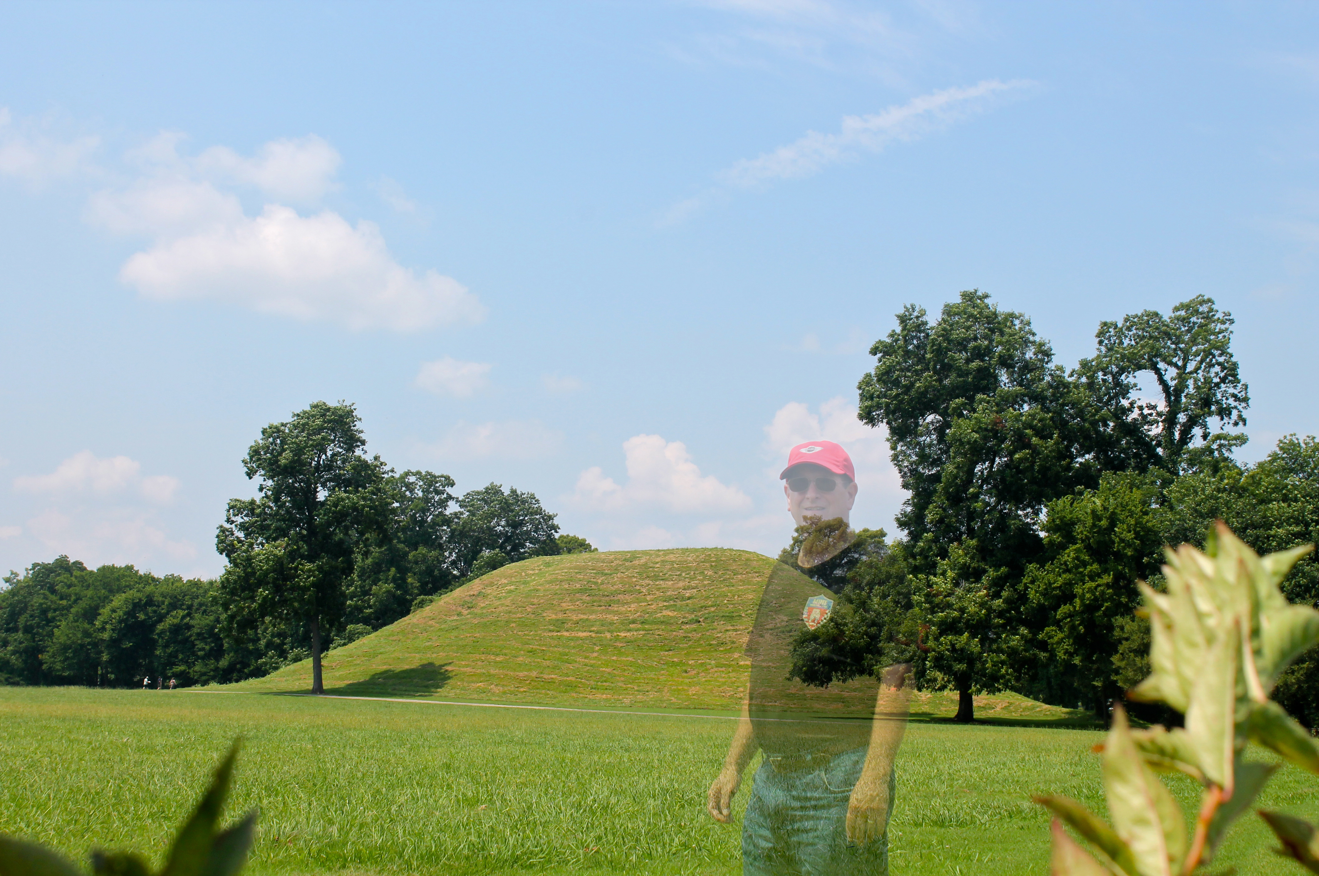
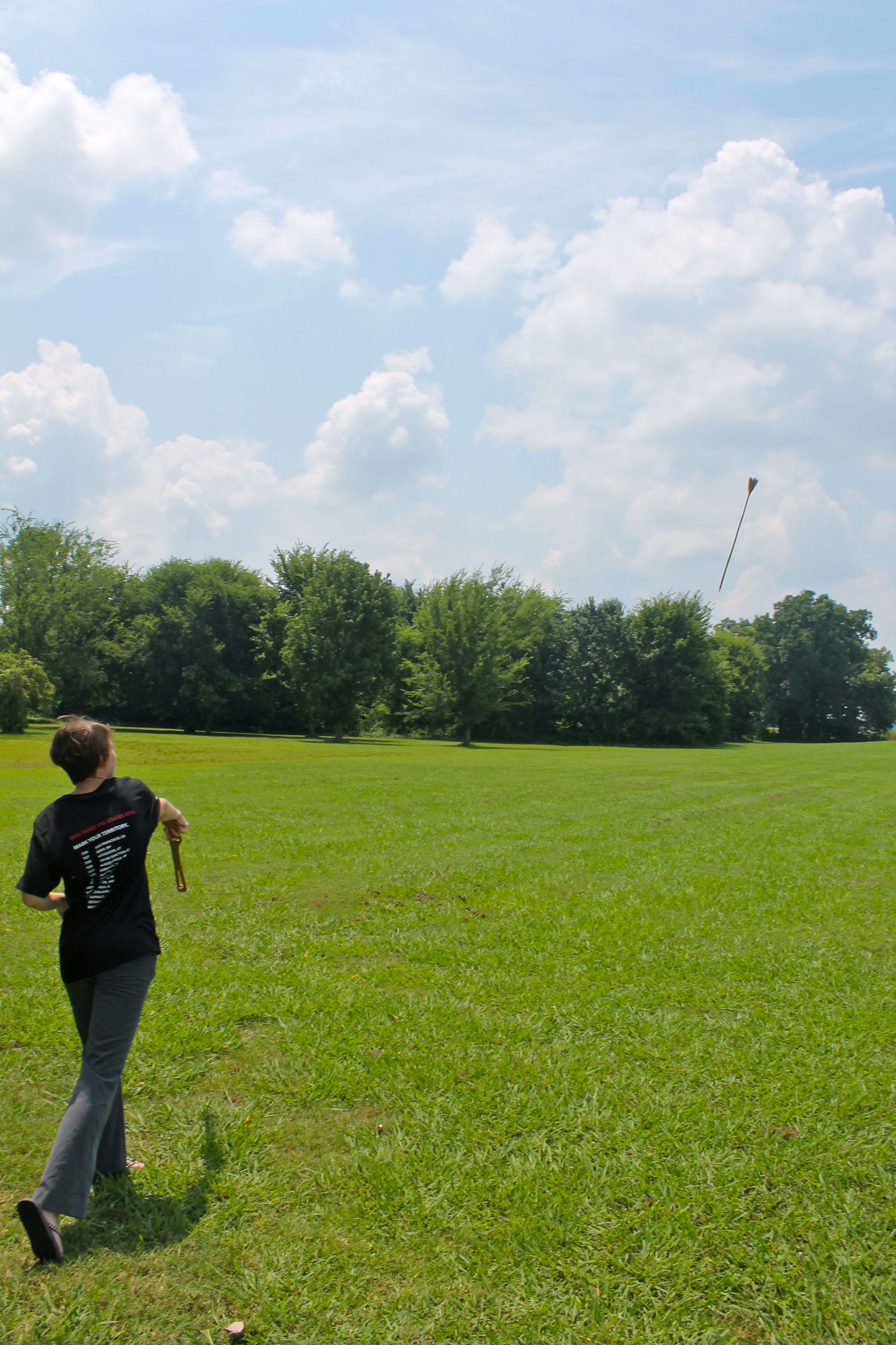
Anne With Atlatl
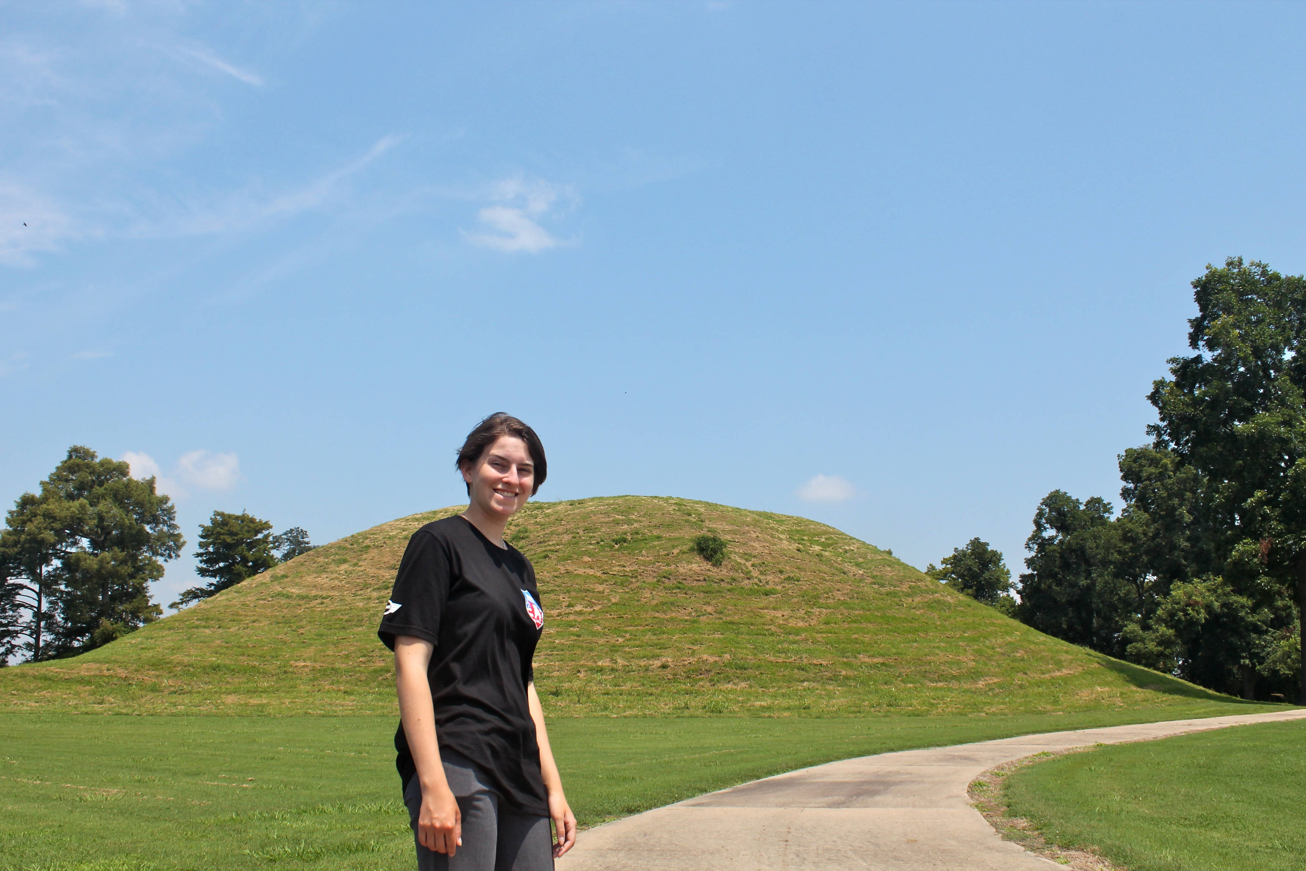
Anne at Mound A
Toltec Mounds
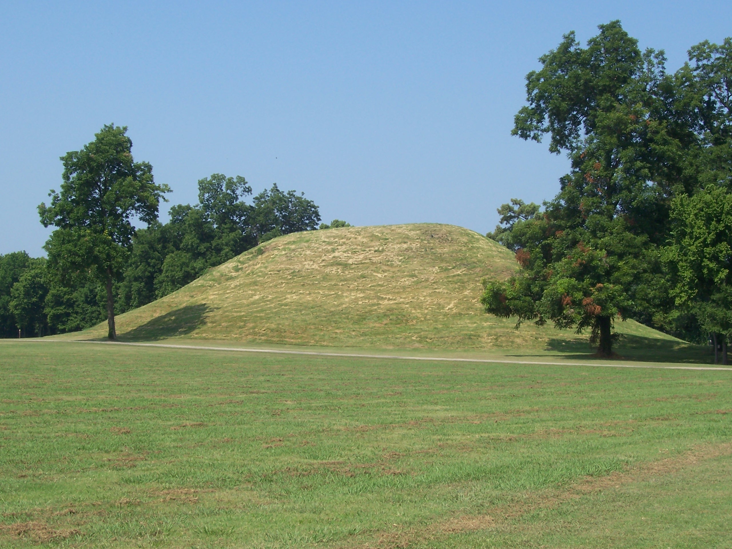
Toltec Mound A 5 2008
Toltec Mound B 3 2008
Topographic Map of Warren Rd, England, AR, USA
Find elevation by address:

Places near Warren Rd, England, AR, USA:
AR-, Scott, AR, USA
40 Johnson Rd, Scott, AR, USA
Williams Township
10 Bearskin Lake Rd, Scott, AR, USA
9605 Ar-161
9605 Ar-161
Dortch Township
Scott
Richwoods Township
Bearskin Lake Loop, Scott, AR, USA
Hwy 31, Lonoke, AR, USA
Pulaski Township
AR-15, Lonoke, AR, USA
S Kerr Rd, Scott, AR, USA
Lonoke County
625 W Ash St
Lonoke
Lonoke, AR, USA
Lonoke Township
US-70, Carlisle, AR, USA
Recent Searches:
- Elevation of Corso Fratelli Cairoli, 35, Macerata MC, Italy
- Elevation of Tallevast Rd, Sarasota, FL, USA
- Elevation of 4th St E, Sonoma, CA, USA
- Elevation of Black Hollow Rd, Pennsdale, PA, USA
- Elevation of Oakland Ave, Williamsport, PA, USA
- Elevation of Pedrógão Grande, Portugal
- Elevation of Klee Dr, Martinsburg, WV, USA
- Elevation of Via Roma, Pieranica CR, Italy
- Elevation of Tavkvetili Mountain, Georgia
- Elevation of Hartfords Bluff Cir, Mt Pleasant, SC, USA