Elevation of Cotton St, Sherrill, AR, USA
Location: United States > Arkansas > Jefferson County >
Longitude: -91.956038
Latitude: 34.4438276
Elevation: 69m / 226feet
Barometric Pressure: 100KPa
Elevation Map:
Satellite Map:
Related Photos:
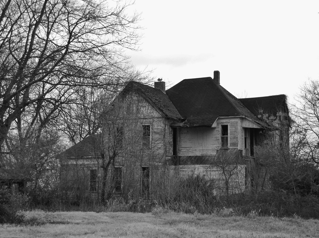
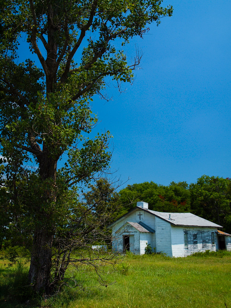
IMG_4215

IMG_0272

IMG_0247

IMG_0269

IMG_0252
P7303467

IMG_0271

IMG_0268
IMG_4383
IMG_4377

IMG_0242
IMG_0244
IMG_4378
IMG_4381
IMG_4382

IMG_0267

IMG_0245
Plum Bayou
Topographic Map of Cotton St, Sherrill, AR, USA
Find elevation by address:

Places near Cotton St, Sherrill, AR, USA:
AR-15, Tucker, AR, USA
Lake St, Sherrill, AR, USA
Sherrill
Dudley Lake Township
Gum Woods Township
Bolivar Township
S Main St, England, AR, USA
England
Walker Rd, Altheimer, AR, USA
AR-, Tucker, AR, USA
Hwy 31, England, AR, USA
Plum Bayou Township
Hwy 31 S, Lonoke, AR, USA
Indian Bayou Township
Battle Chapel Loop, Altheimer, AR, USA
Hendricks Road
Altheimer
Lafayette Township
Wampoo Rd, England, AR, USA
Riverside Drive
Recent Searches:
- Elevation of Corso Fratelli Cairoli, 35, Macerata MC, Italy
- Elevation of Tallevast Rd, Sarasota, FL, USA
- Elevation of 4th St E, Sonoma, CA, USA
- Elevation of Black Hollow Rd, Pennsdale, PA, USA
- Elevation of Oakland Ave, Williamsport, PA, USA
- Elevation of Pedrógão Grande, Portugal
- Elevation of Klee Dr, Martinsburg, WV, USA
- Elevation of Via Roma, Pieranica CR, Italy
- Elevation of Tavkvetili Mountain, Georgia
- Elevation of Hartfords Bluff Cir, Mt Pleasant, SC, USA