Elevation of Amelia Dr, Eaton, OH, USA
Location: United States > Ohio > Preble County > Eaton >
Longitude: -84.6398806
Latitude: 39.7352552
Elevation: 306m / 1004feet
Barometric Pressure: 0KPa
Related Photos:
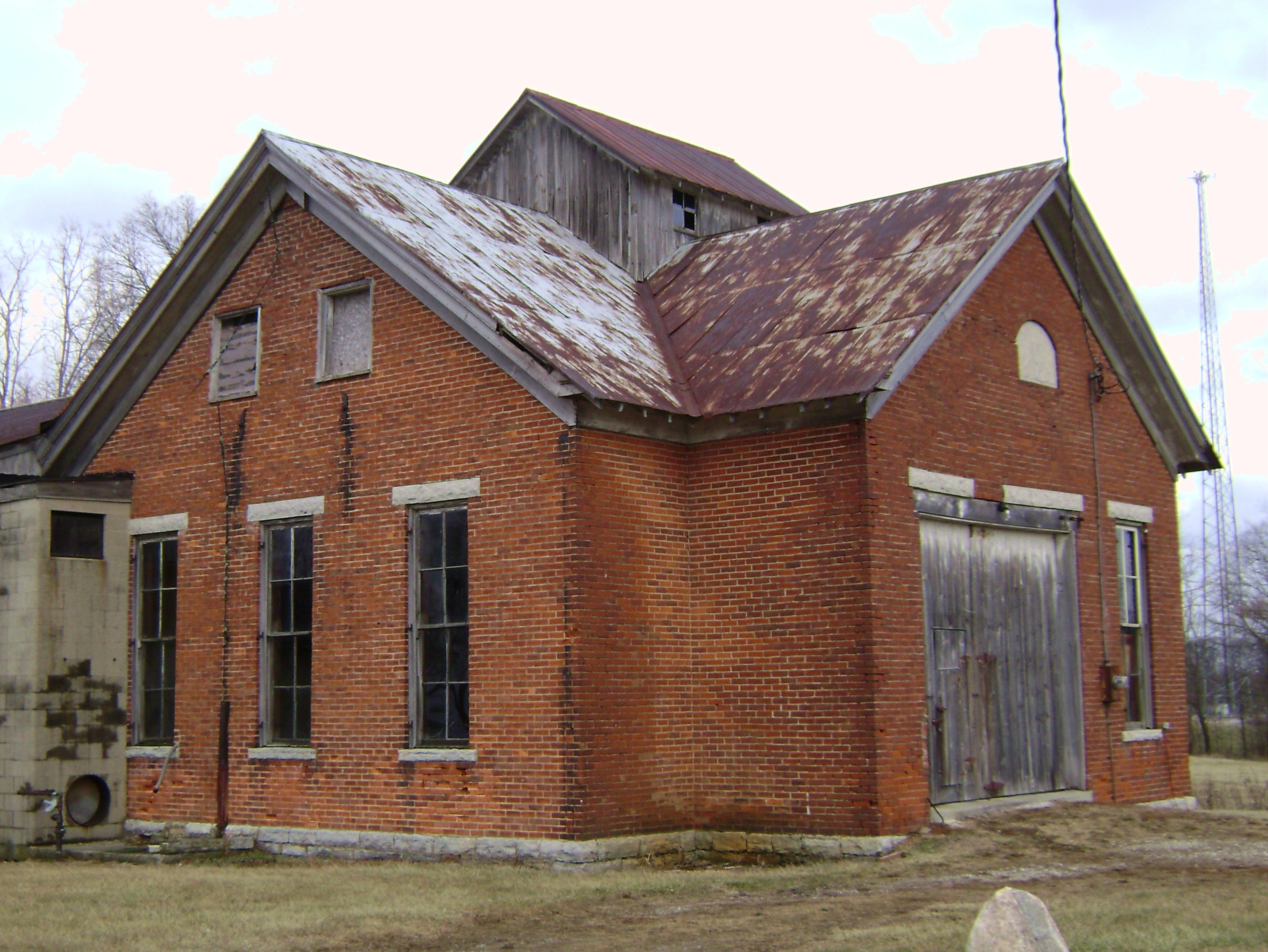
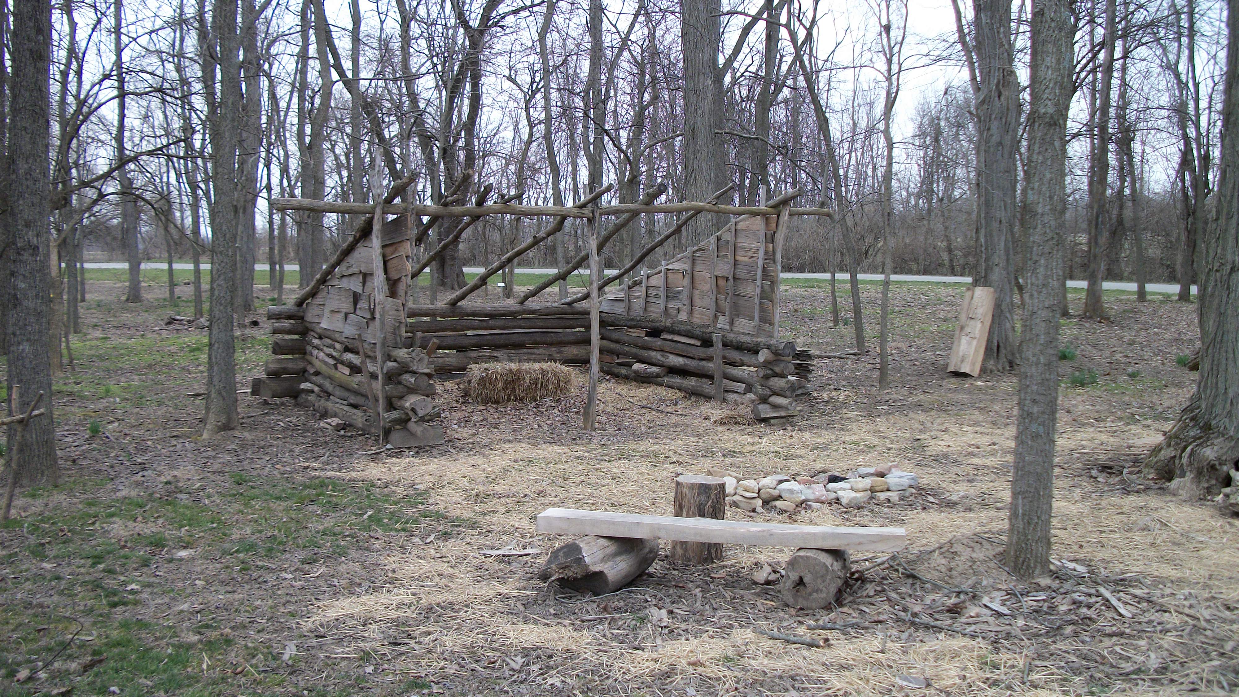
Oklahoma, Ohio- Washington Twp. Number 4 Schoolhouse
The Roberts Bridge
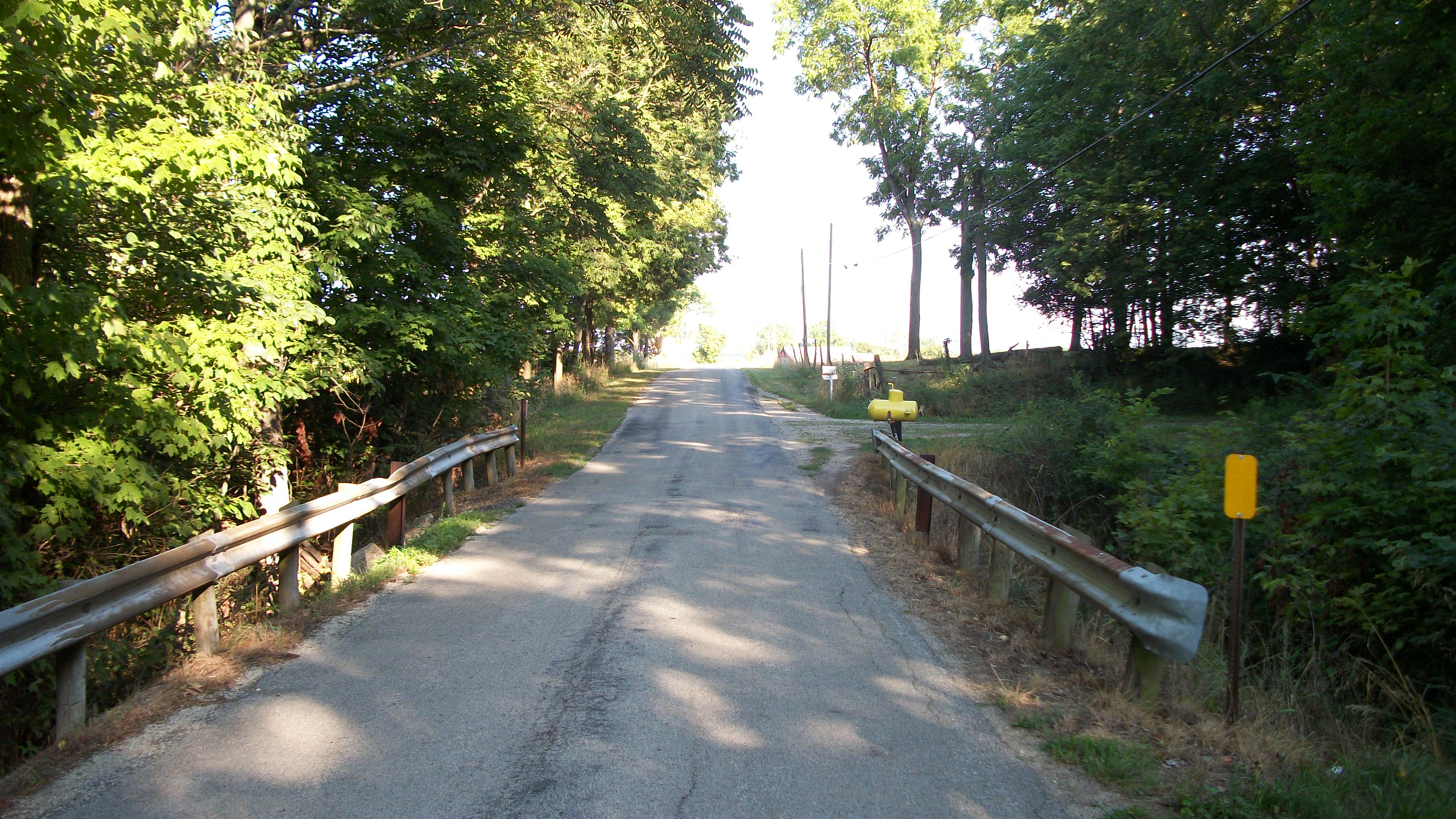
Country Road near Brubaker Bridge
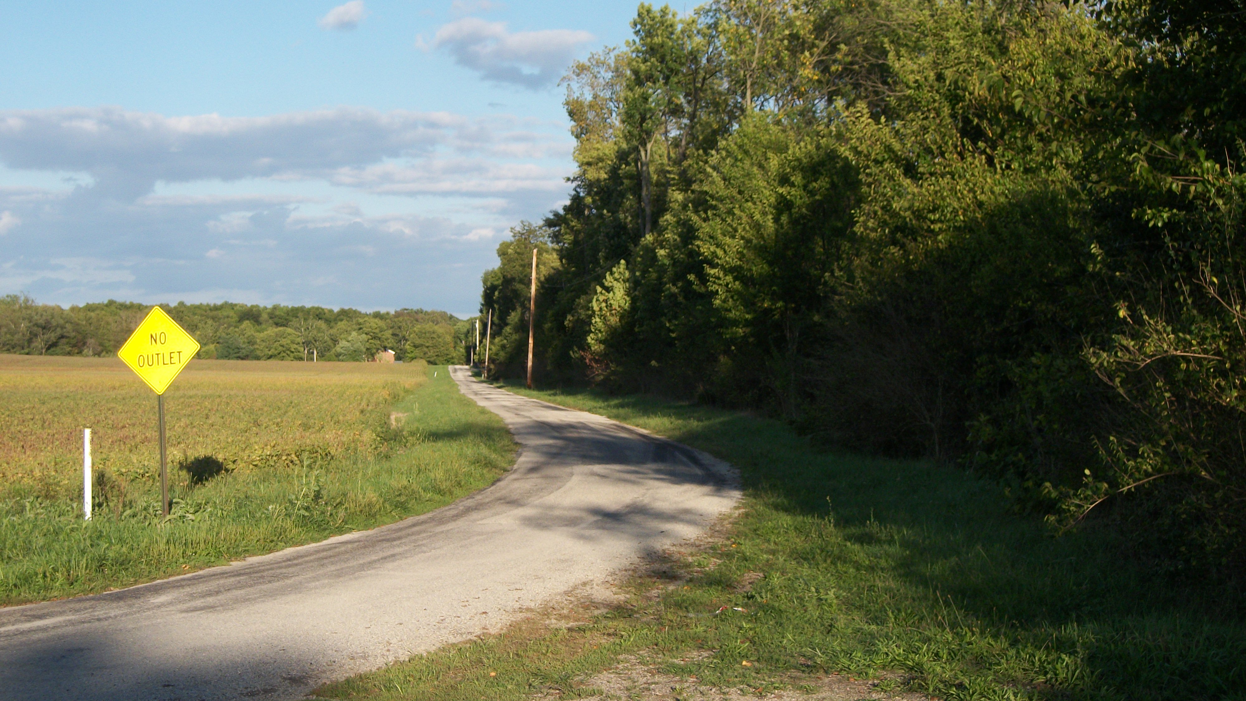
Gasper Somers Road

Israel Somers Road
Brubaker Road

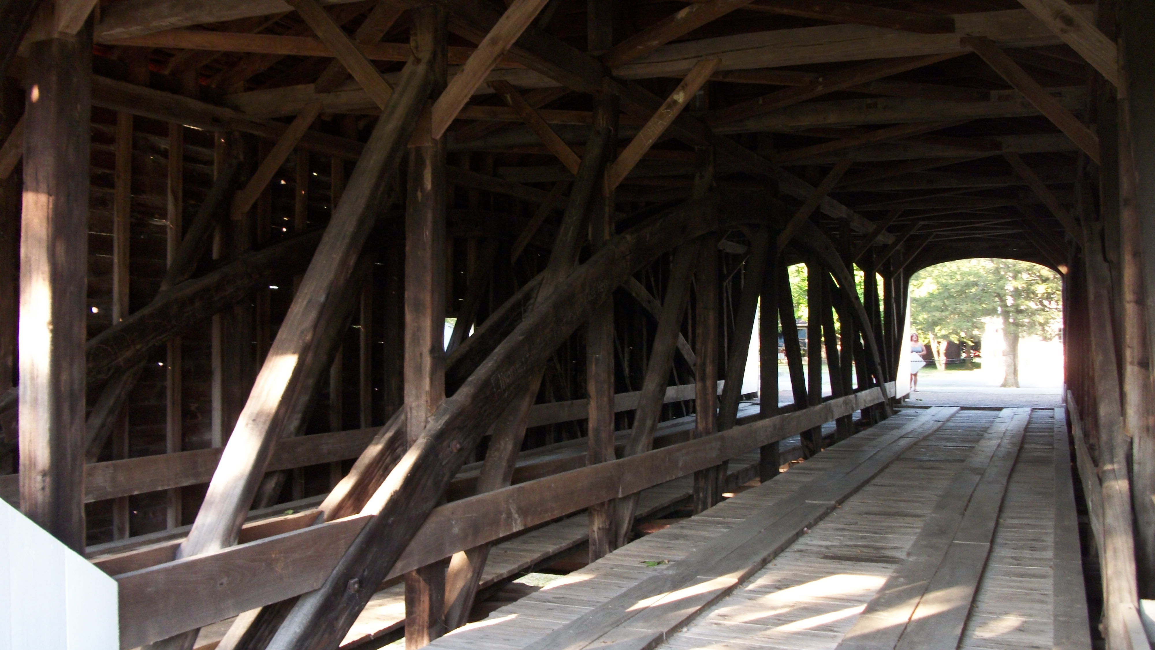
Roberts Covered Bridge, barrel view

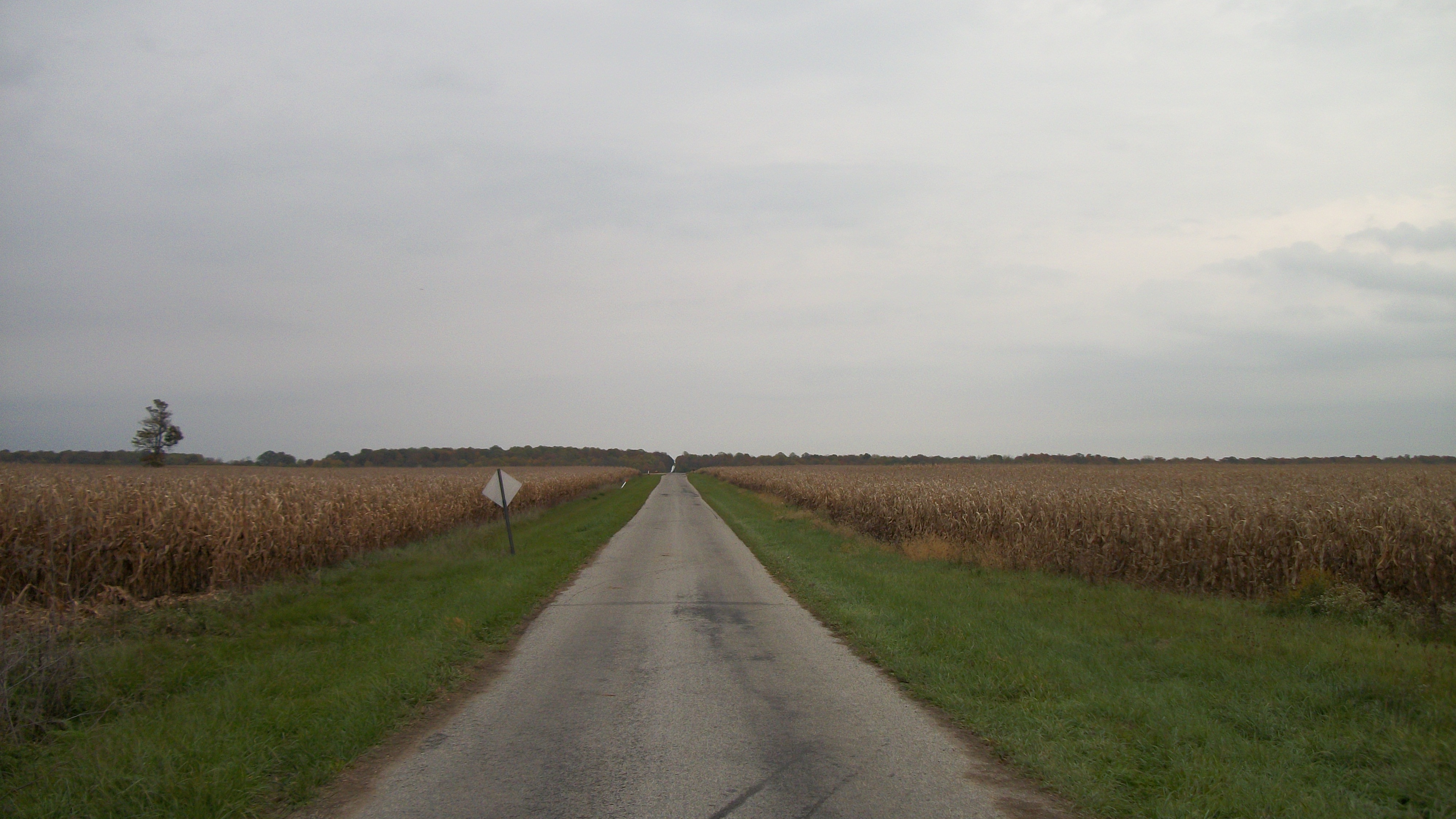
Paint Creek 4 Mile Road
The Roberts Bridge
Israel Somers Road

Twin Valley Cemetery
Gasper Somers Road
The Roberts Bridge
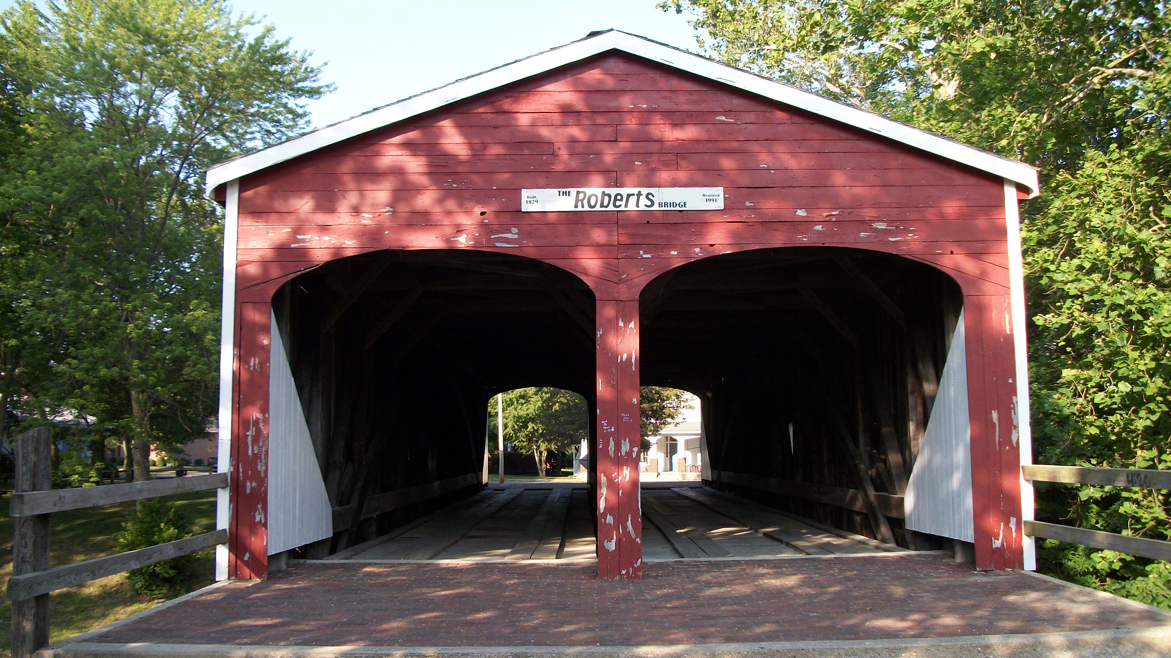
The Roberts Bridge

Aerial View of Preble County, Ohio Estate
Is That a Yellow Submarine?

FLAG-TAILED SPINYLEG DRAGONFLY - TENERAL
Silver Hart Road
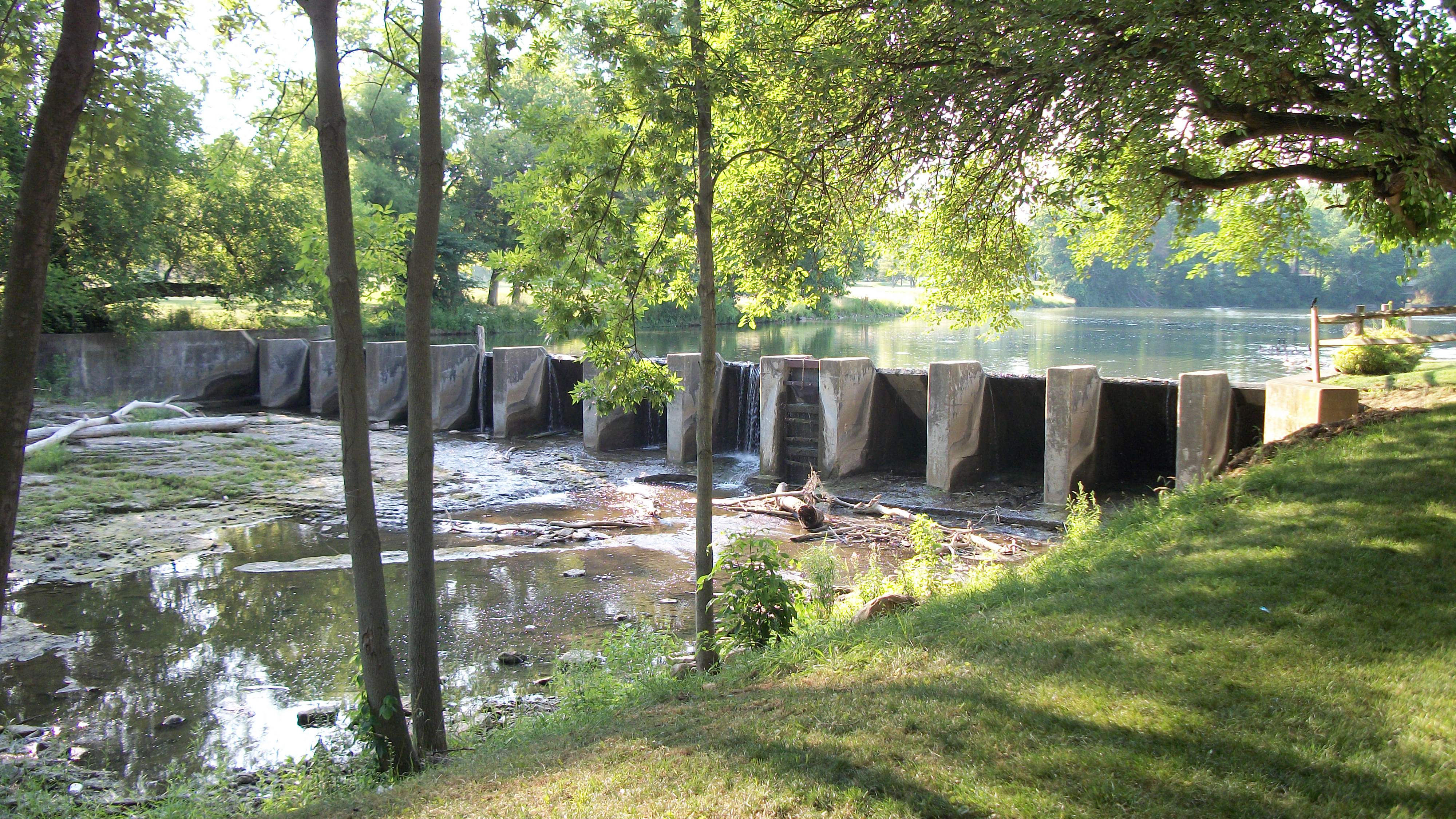
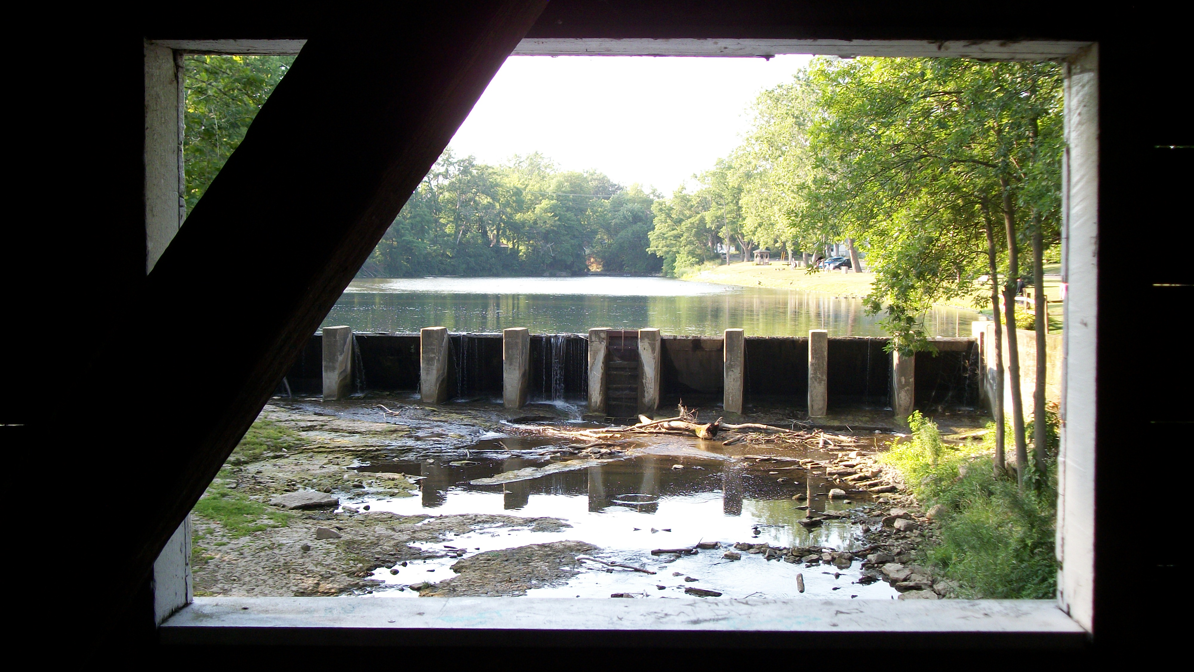
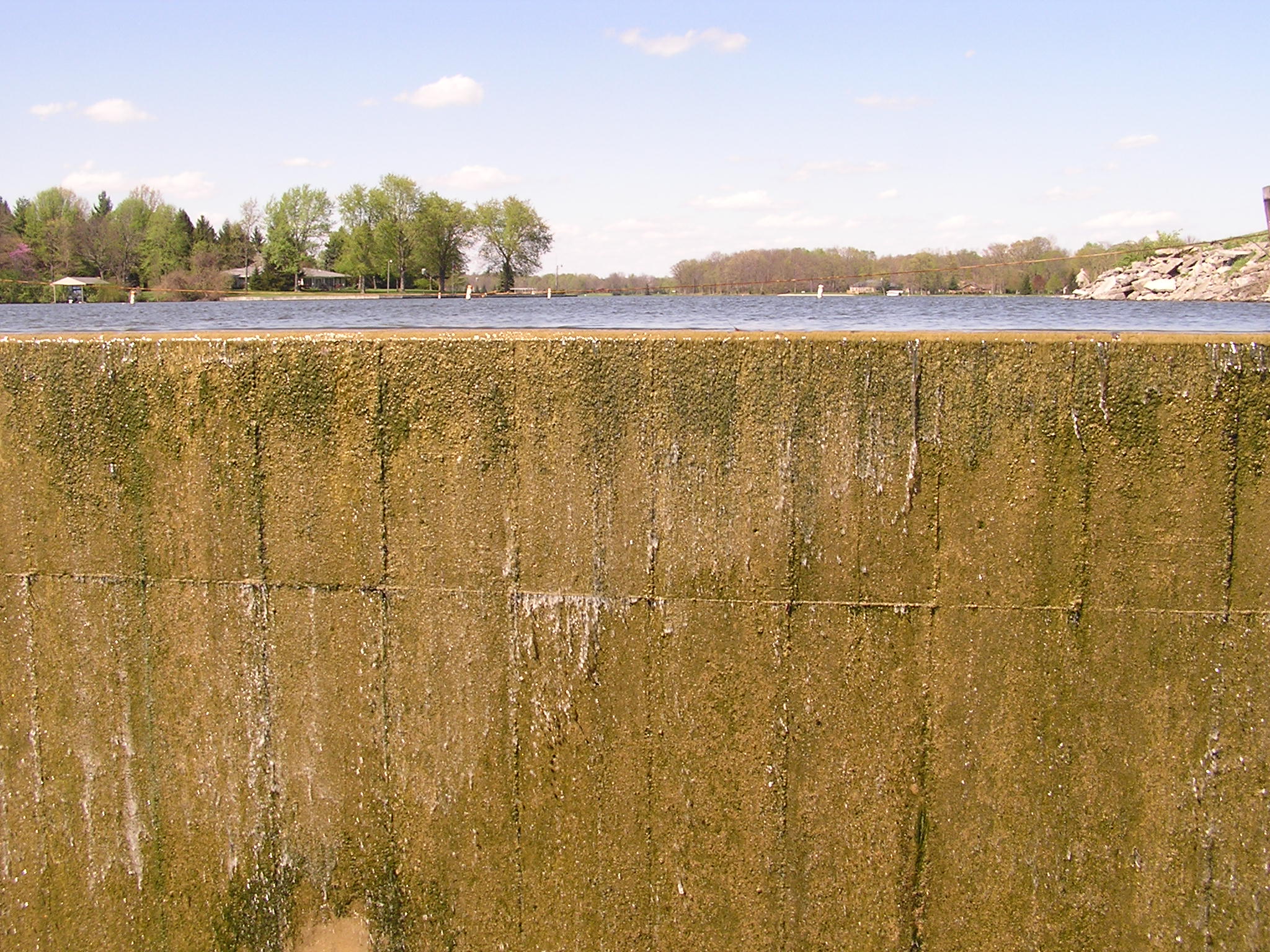
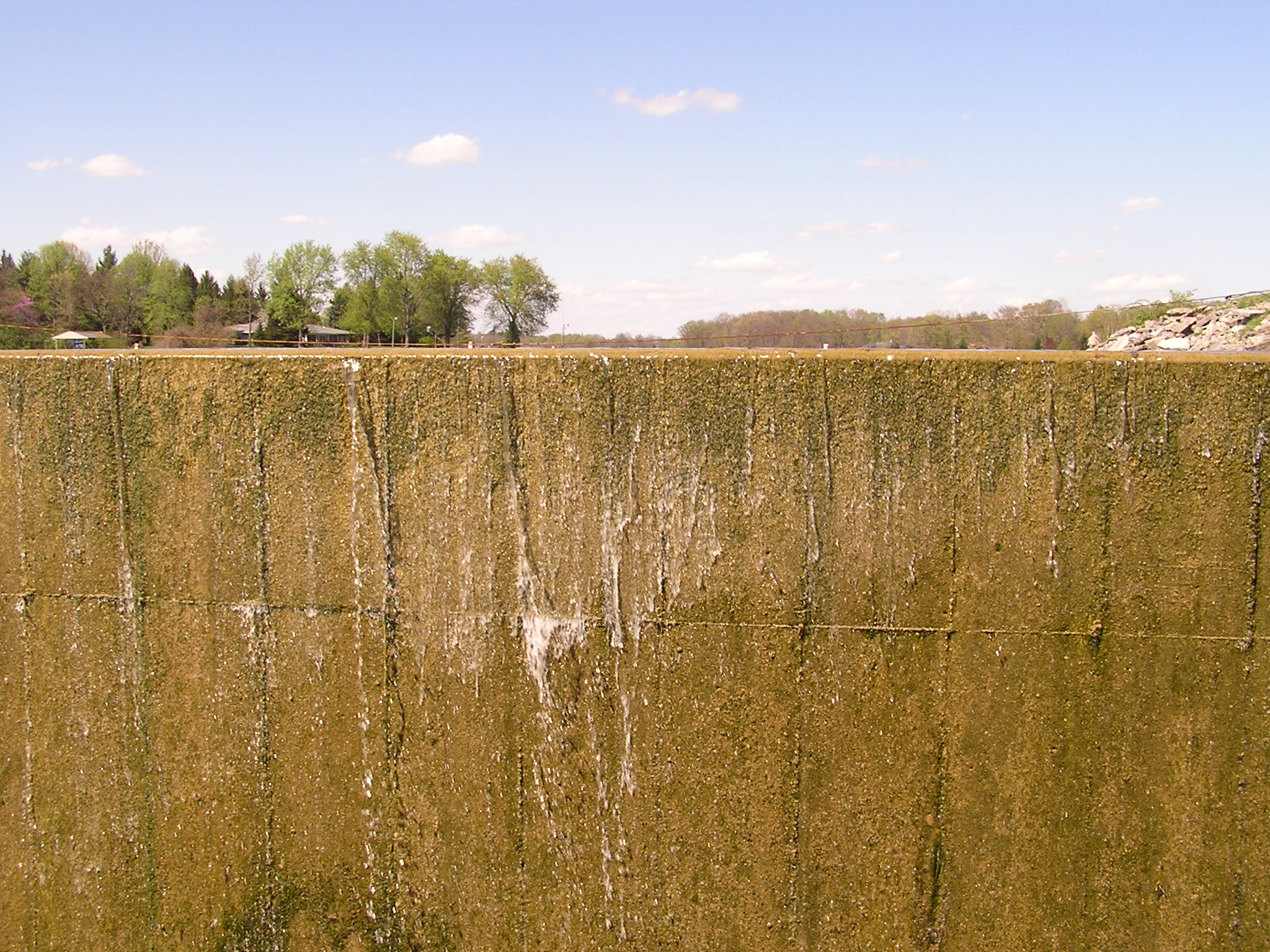
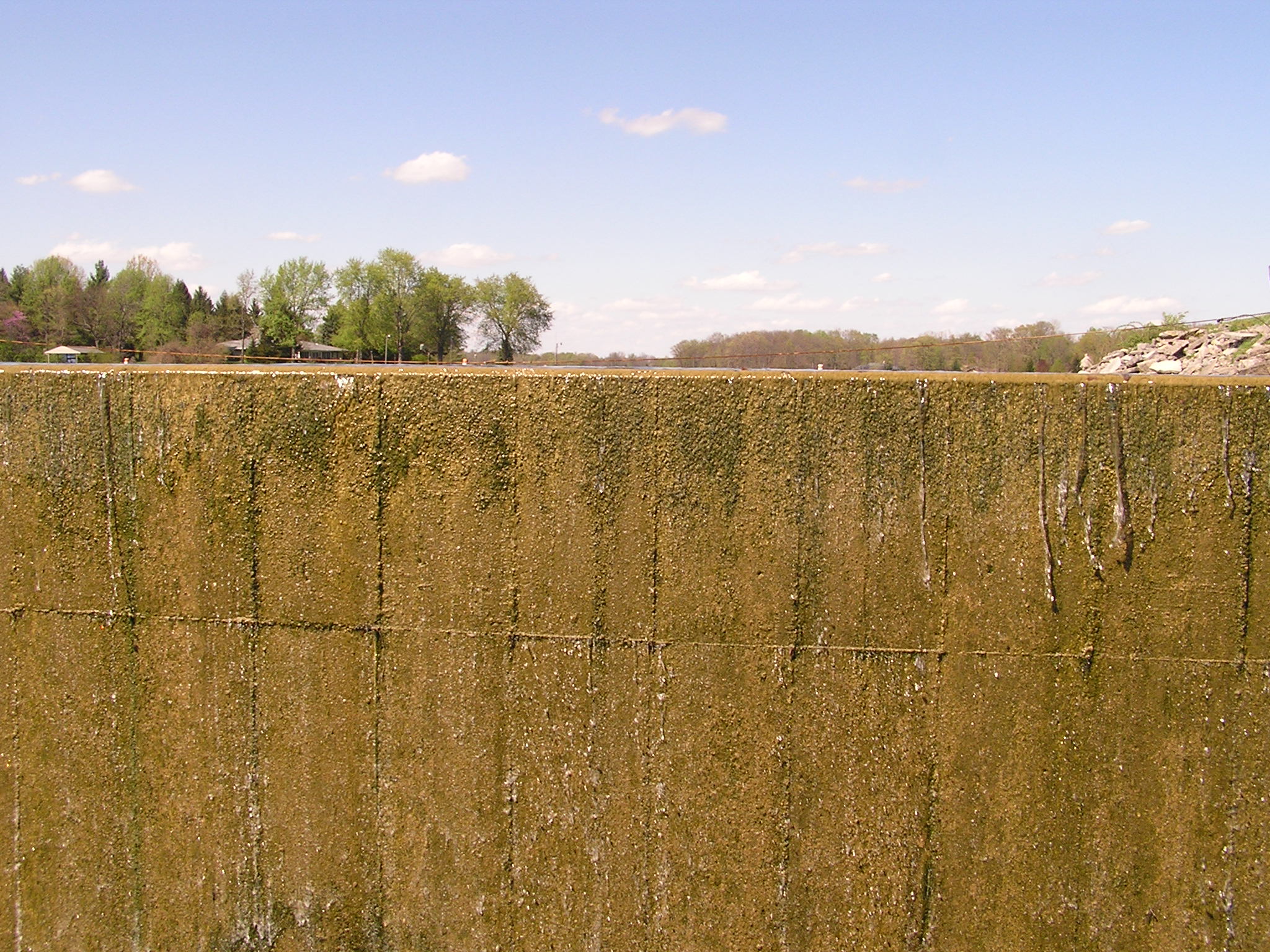
Dam in Eaton, Ohio
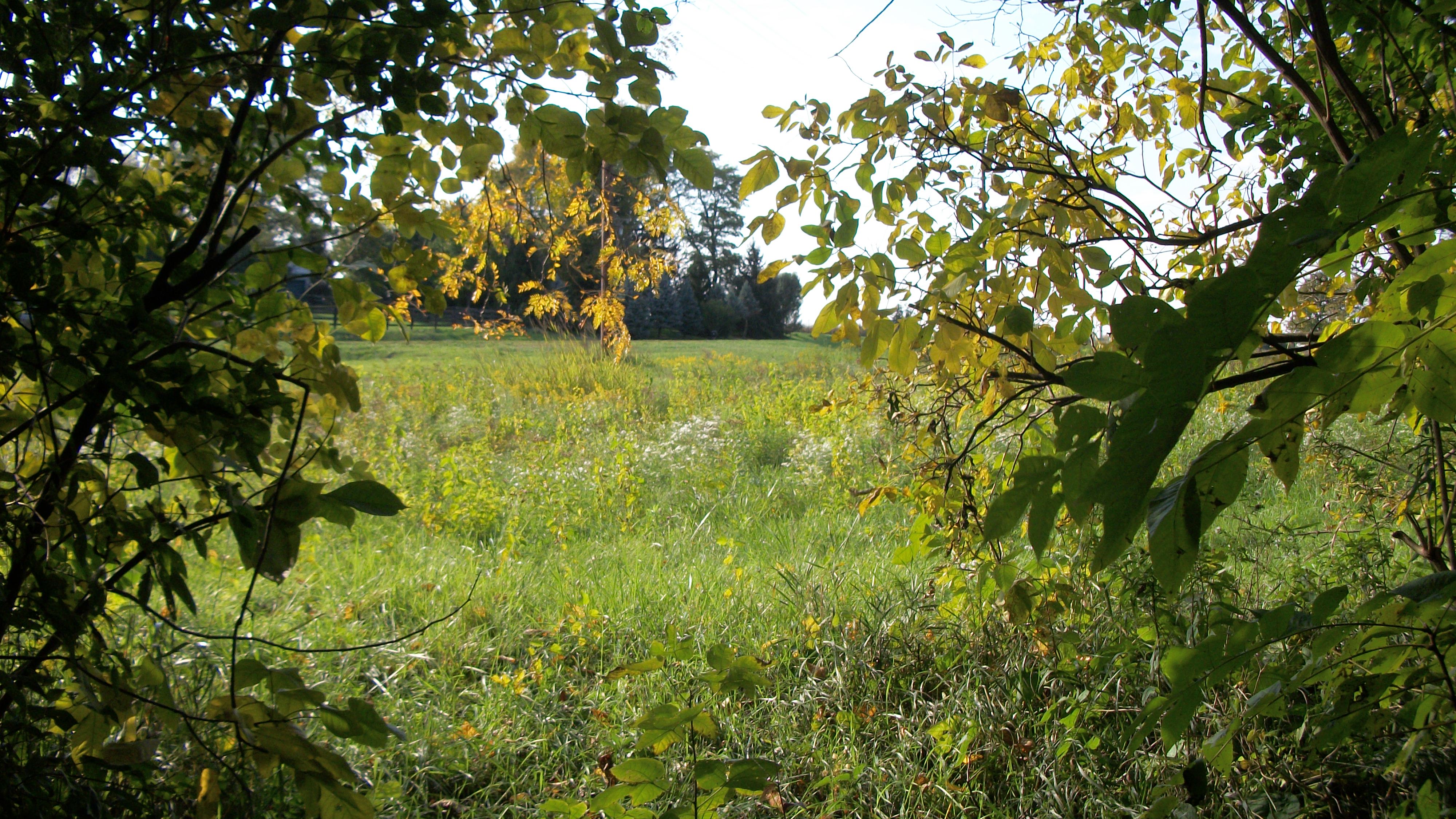
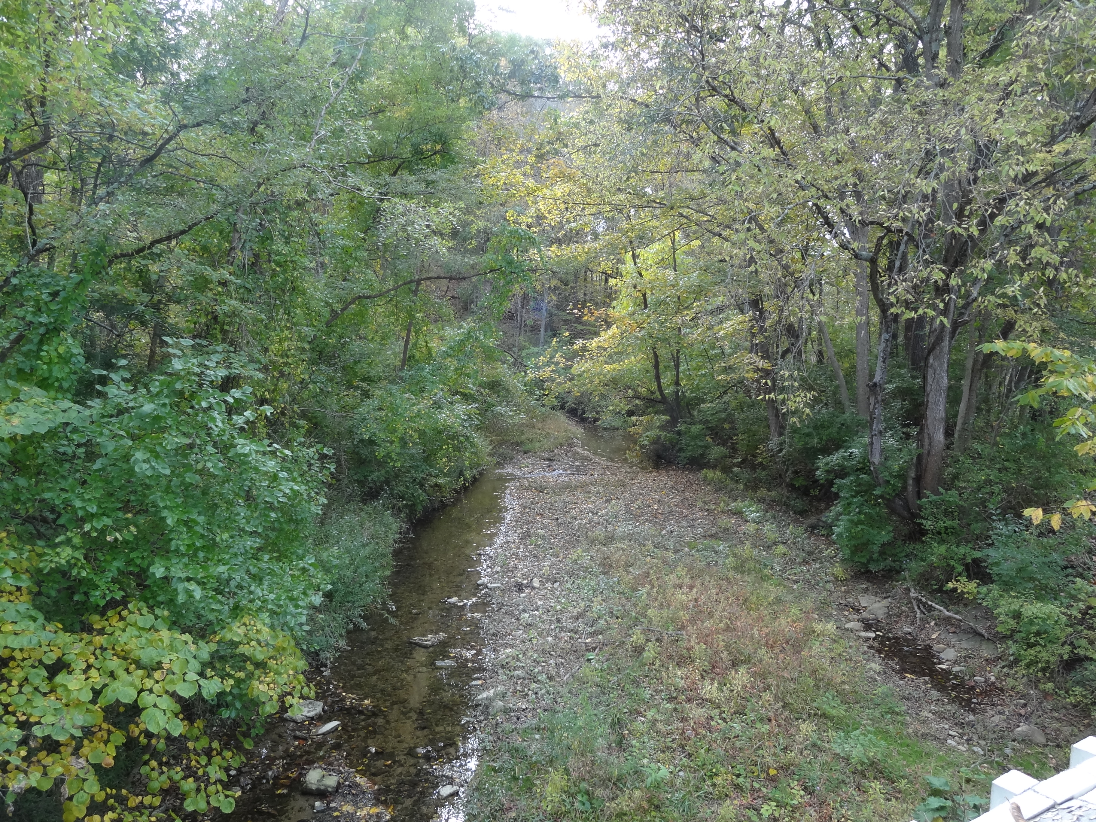
Quite Creek

The View From My Sister's Window

Calf & Butter

Butter & Calf, II
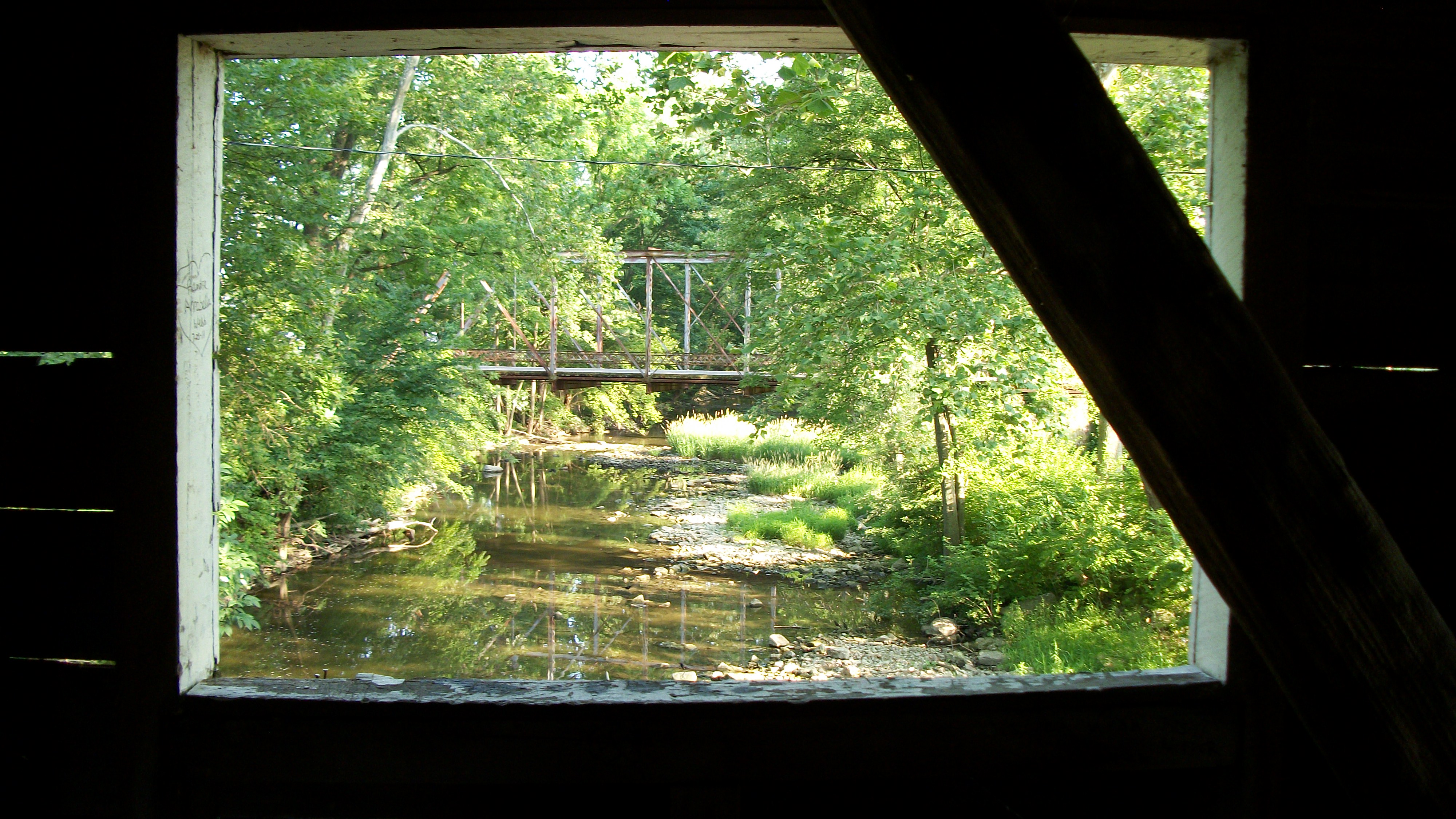
Brubaker Covered Bridge, Preble County, OH - creek view
Blue Steel took a picture!
The End of the Earth
The End of the Earth
The End of the Earth

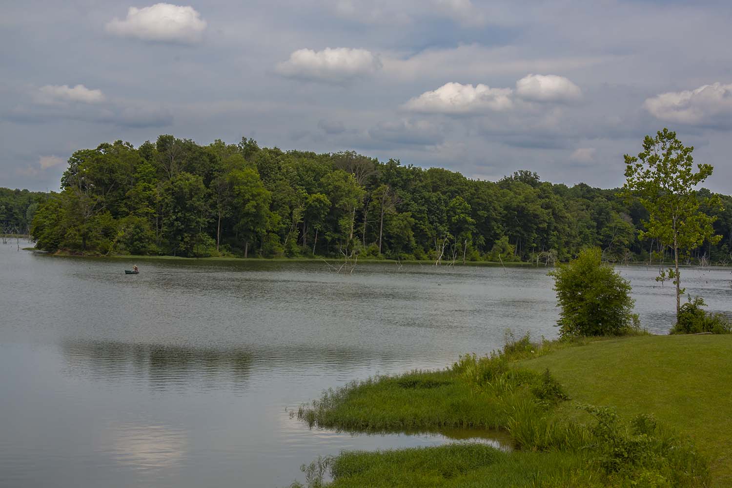
Lake Lakengren, OH
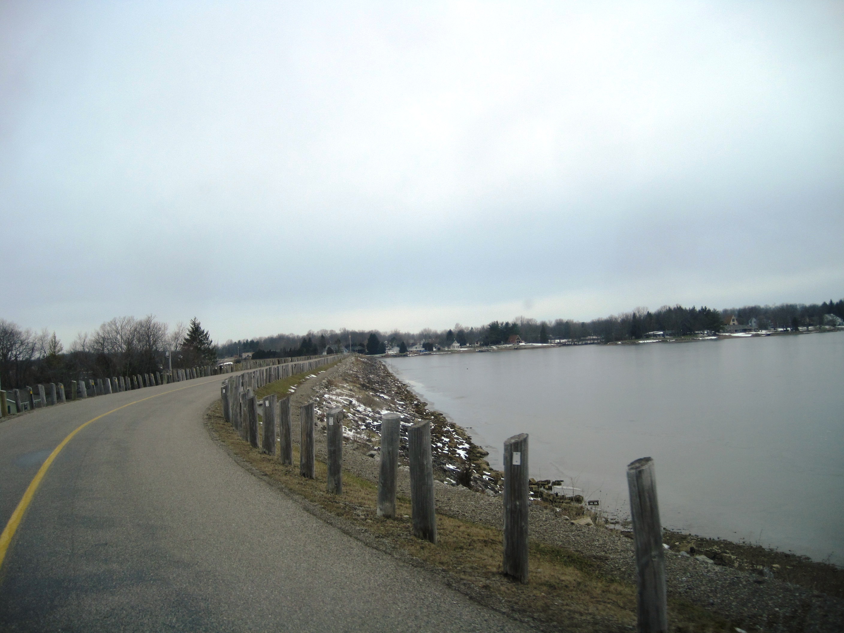
Lake Lakengren, OH
GC3PRZ0 - Geocaching
Lake Lakengren, OH
Lake Lakengren, OH
Frame Cemetery, Eaton, Ohio, United States
Preble County Historical Society

GC1YW6Y - Geocaching
RUSH RUN LAKE - SOMERVILLE, OHIO
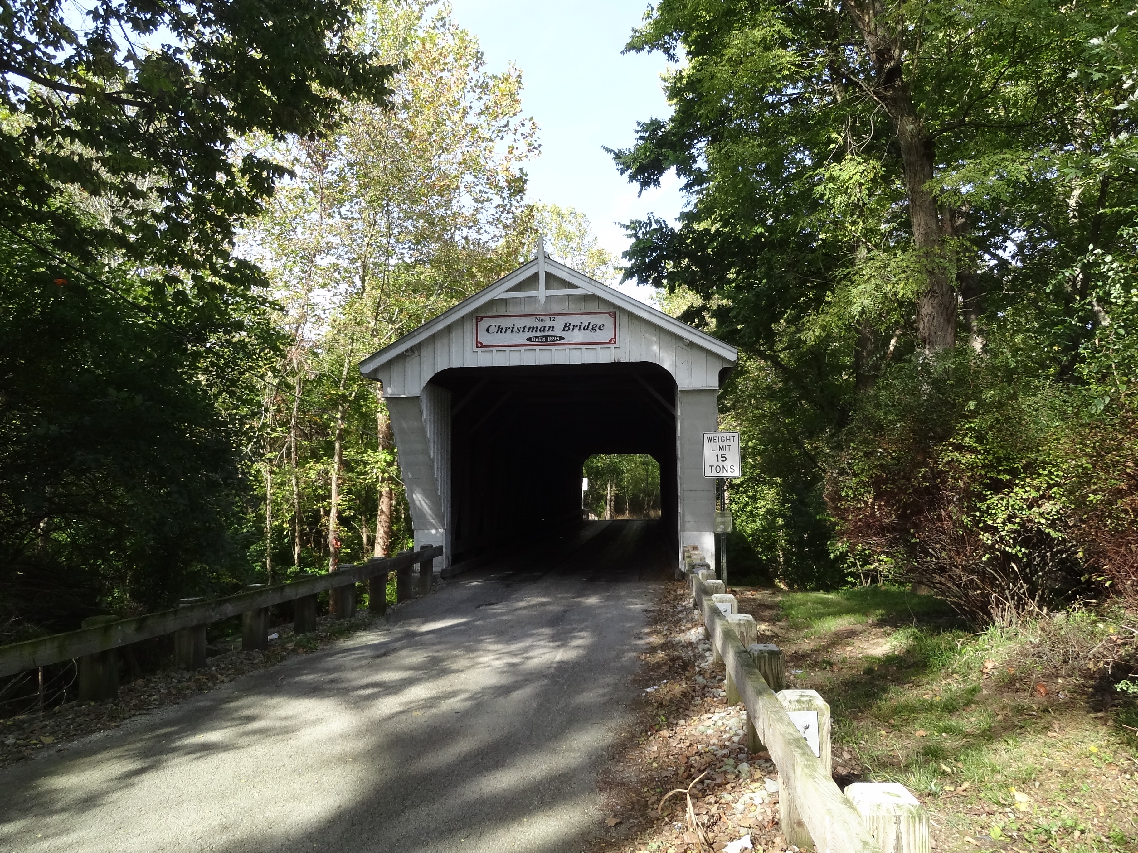
Christman Covered Bridge, Preble County, OH - landscape
Topographic Map of Amelia Dr, Eaton, OH, USA
Find elevation by address:

Places near Amelia Dr, Eaton, OH, USA:
123 Hillcrest Dr
Eaton, OH, USA
Eaton
W Main St, Eaton, OH, USA
109 Tiffin Ct
93 Quaker Trace Rd, West Alexandria, OH, USA
Preble County
Washington Township
1800 W Winnerline Rd
3737 Upshur Northern Rd
West Alexandria
OH-, West Alexandria, OH, USA
59 E 2nd St
Twin Township
US-40, New Paris, OH, USA
Monroe Township
N Commerce St, Lewisburg, OH, USA
Lewisburg
15774 Little Richmond Rd
Eldorado
Recent Searches:
- Elevation of Pasing, Munich, Bavaria, 81241, Germany
- Elevation of 24, Auburn Bay Crescent SE, Auburn Bay, Calgary, Alberta, T3M 0A6, Canada
- Elevation of Denver, 2314, Arapahoe Street, Five Points, Denver, Colorado, 80205, USA
- Elevation of Community of the Beatitudes, 2924, West 43rd Avenue, Sunnyside, Denver, Colorado, 80211, USA
- Elevation map of Litang County, Sichuan, China
- Elevation map of Madoi County, Qinghai, China
- Elevation of 3314, Ohio State Route 114, Payne, Paulding County, Ohio, 45880, USA
- Elevation of Sarahills Drive, Saratoga, Santa Clara County, California, 95070, USA
- Elevation of Town of Bombay, Franklin County, New York, USA
- Elevation of 9, Convent Lane, Center Moriches, Suffolk County, New York, 11934, USA
- Elevation of Saint Angelas Convent, 9, Convent Lane, Center Moriches, Suffolk County, New York, 11934, USA
- Elevation of 131st Street Southwest, Mukilteo, Snohomish County, Washington, 98275, USA
- Elevation of 304, Harrison Road, Naples, Cumberland County, Maine, 04055, USA
- Elevation of 2362, Timber Ridge Road, Harrisburg, Cabarrus County, North Carolina, 28075, USA
- Elevation of Ridge Road, Marshalltown, Marshall County, Iowa, 50158, USA
- Elevation of 2459, Misty Shadows Drive, Pigeon Forge, Sevier County, Tennessee, 37862, USA
- Elevation of 8043, Brightwater Way, Spring Hill, Williamson County, Tennessee, 37179, USA
- Elevation of Starkweather Road, San Luis, Costilla County, Colorado, 81152, USA
- Elevation of 5277, Woodside Drive, Baton Rouge, East Baton Rouge Parish, Louisiana, 70808, USA
- Elevation of 1139, Curtin Street, Shepherd Park Plaza, Houston, Harris County, Texas, 77018, USA