Elevation of Monroe Township, OH, USA
Location: United States > Ohio > Preble County >
Longitude: -84.668834
Latitude: 39.879505
Elevation: 342m / 1122feet
Barometric Pressure: 97KPa
Elevation Map:
Satellite Map:
Related Photos:
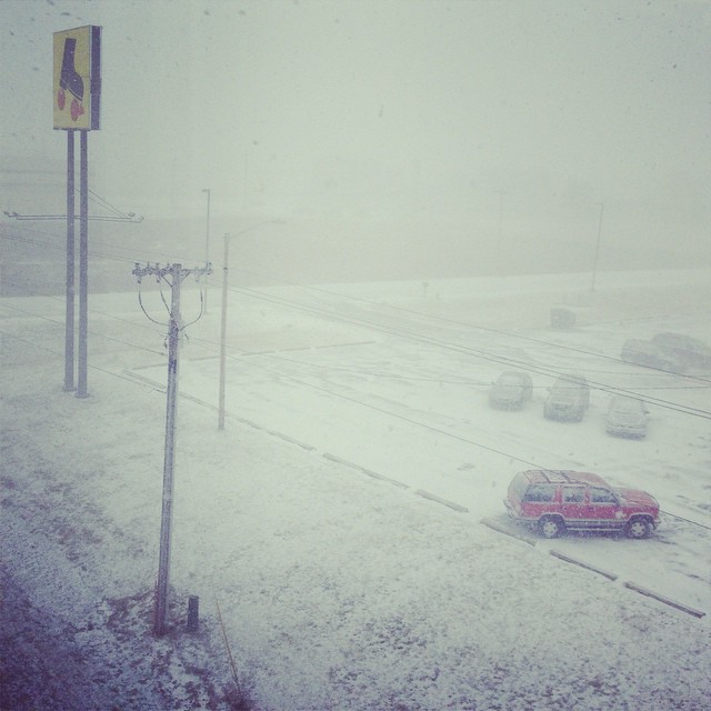
a room with a view...OF THE END OF TIMES
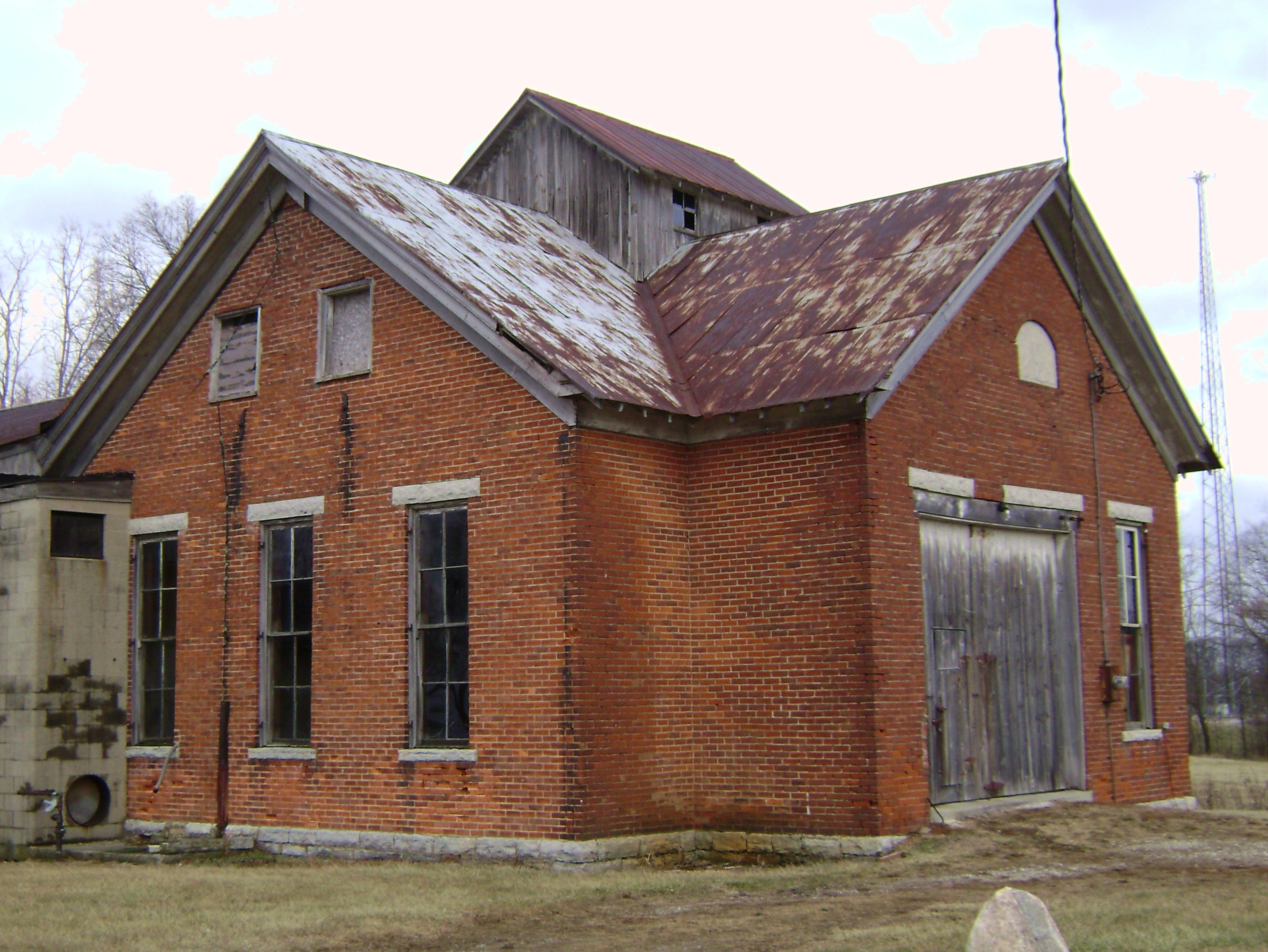
Oklahoma, Ohio- Washington Twp. Number 4 Schoolhouse
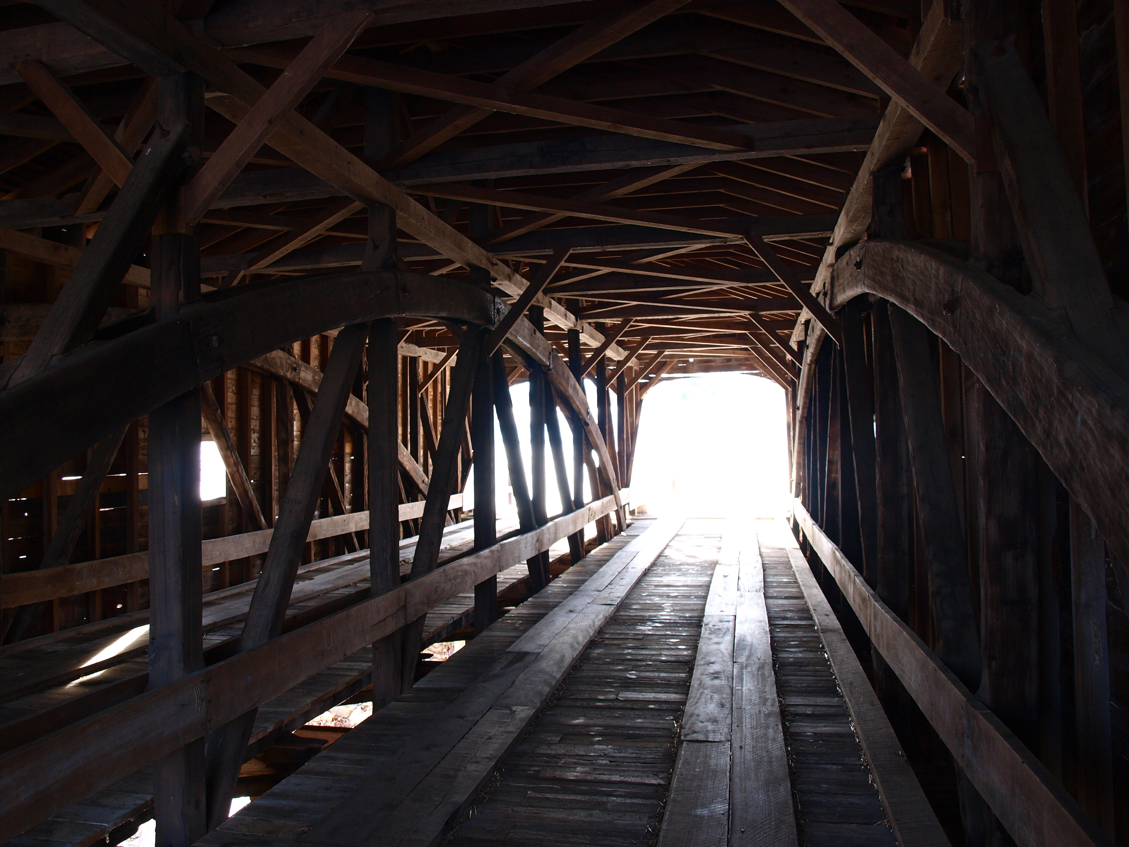
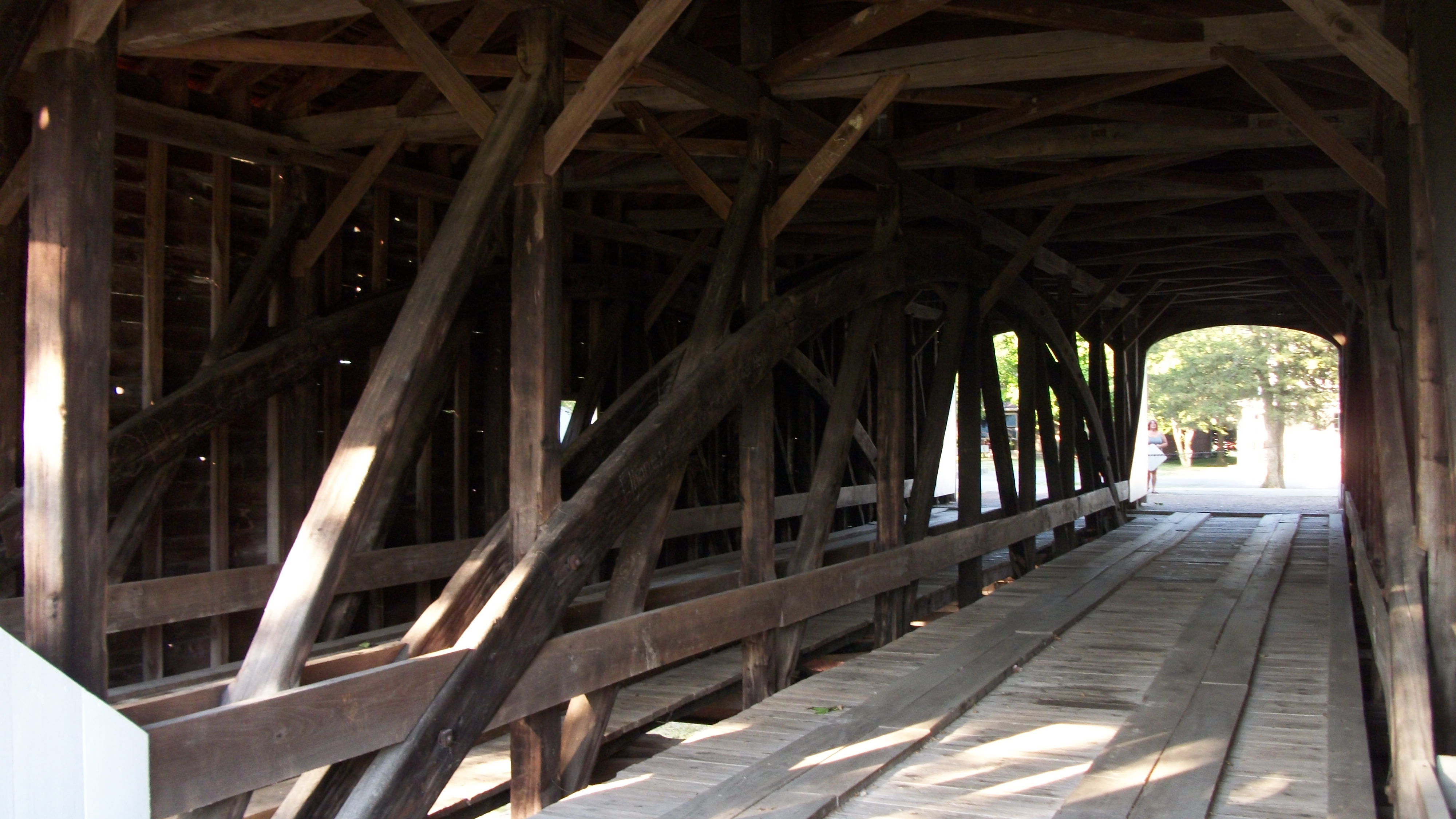
Roberts Covered Bridge, barrel view
Deerlick Farm

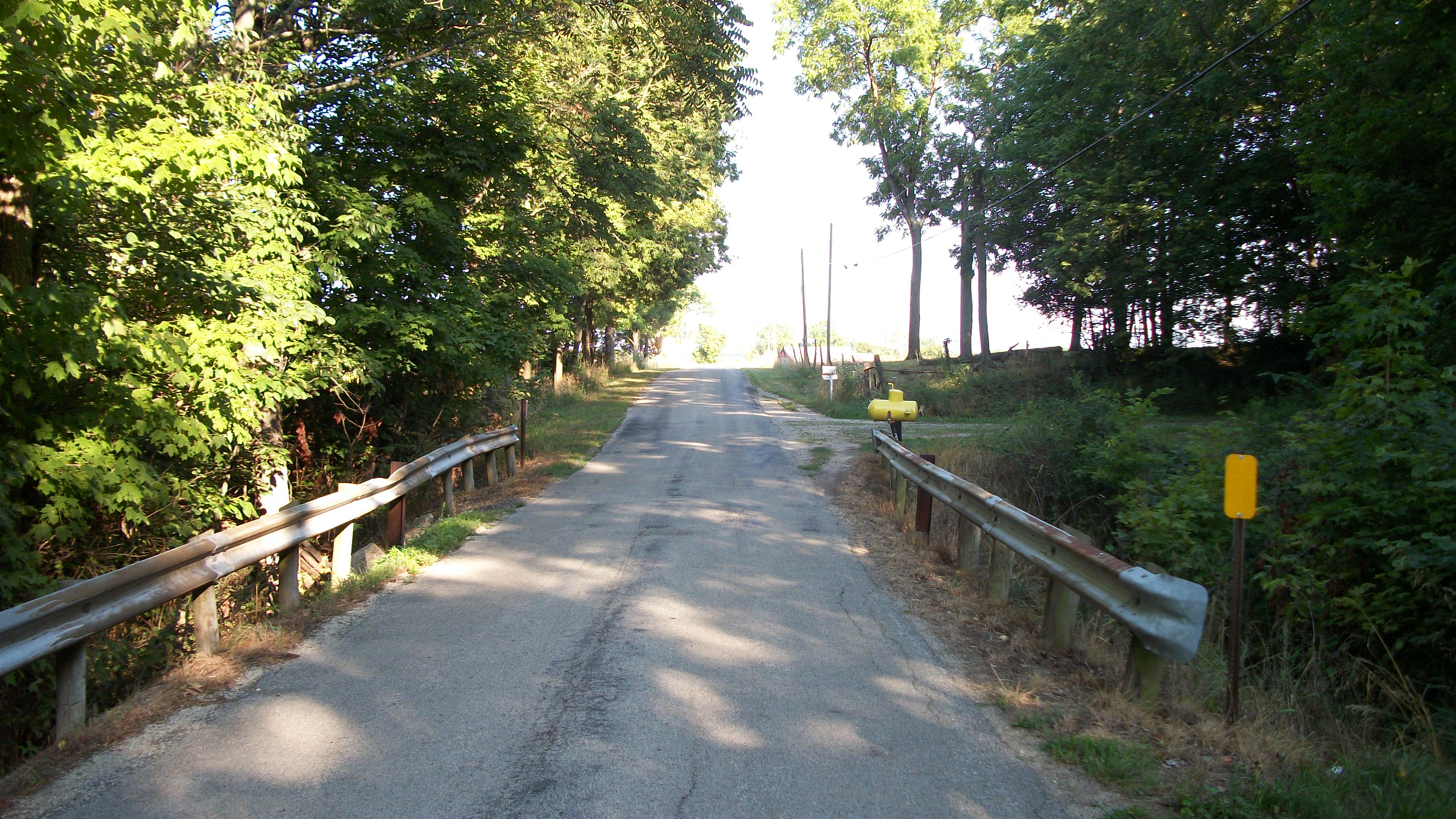
#view from the #road
Fort Jefferson, Ohio
The Roberts Bridge

Giant Cross at New Creations Chapel
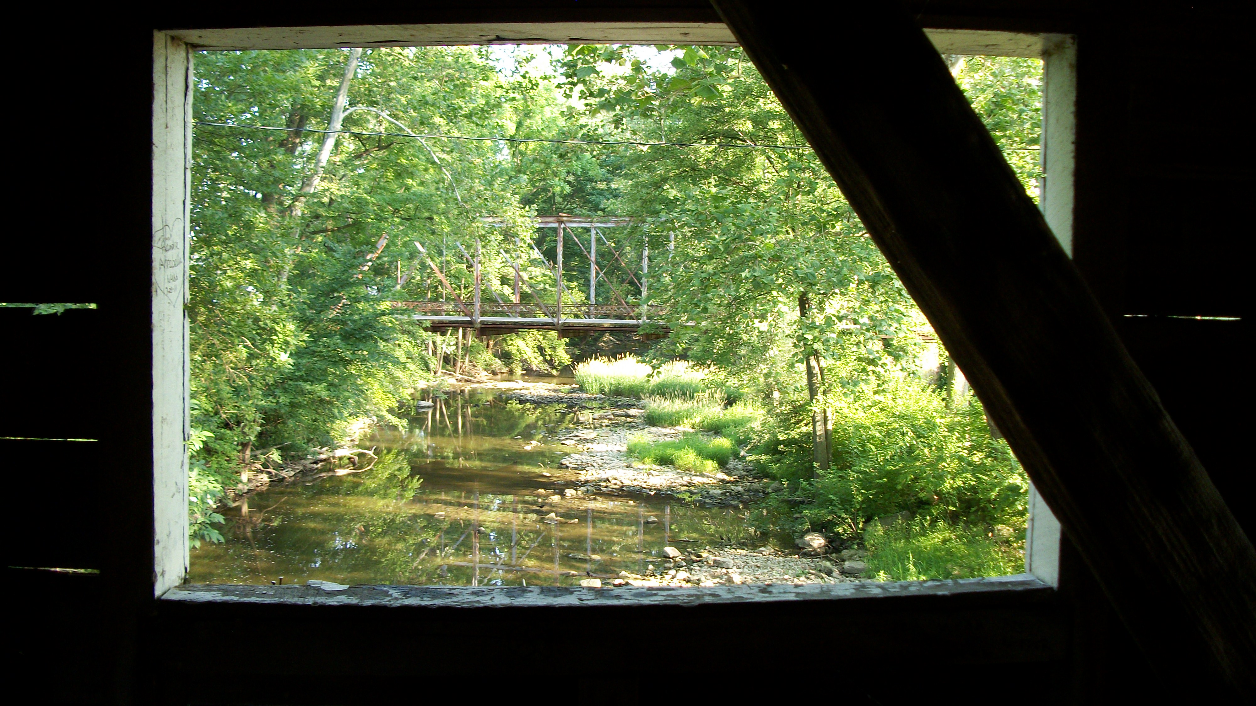
The Roberts Bridge
Is That a Yellow Submarine?
The Roberts Bridge
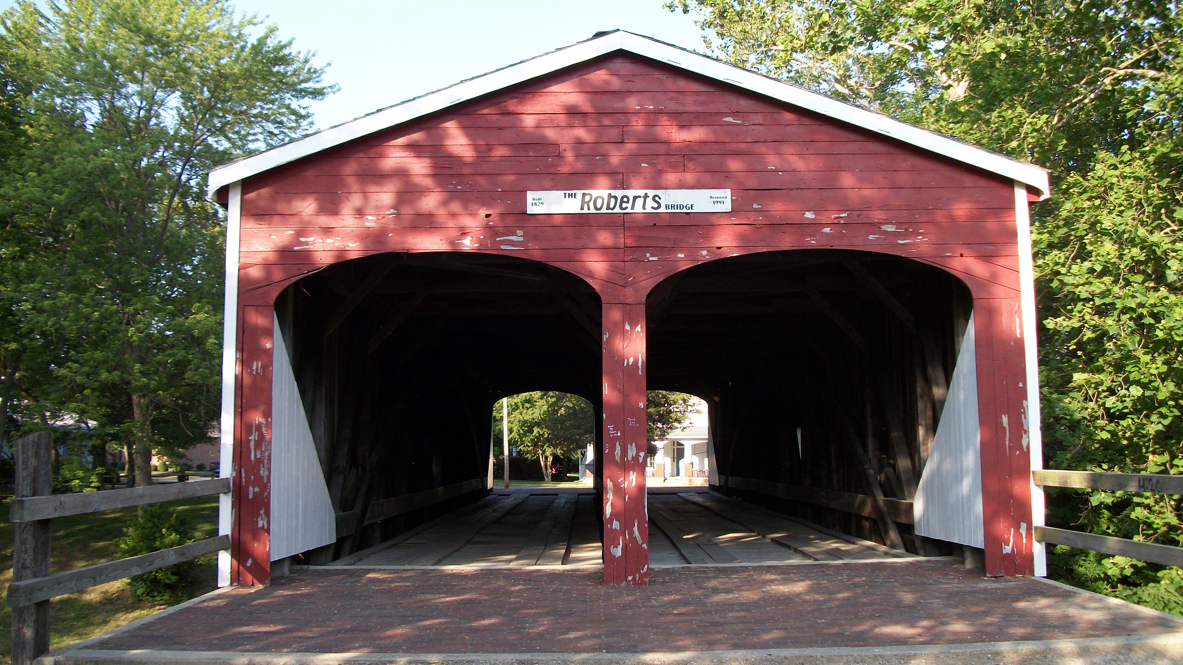
The Roberts Bridge
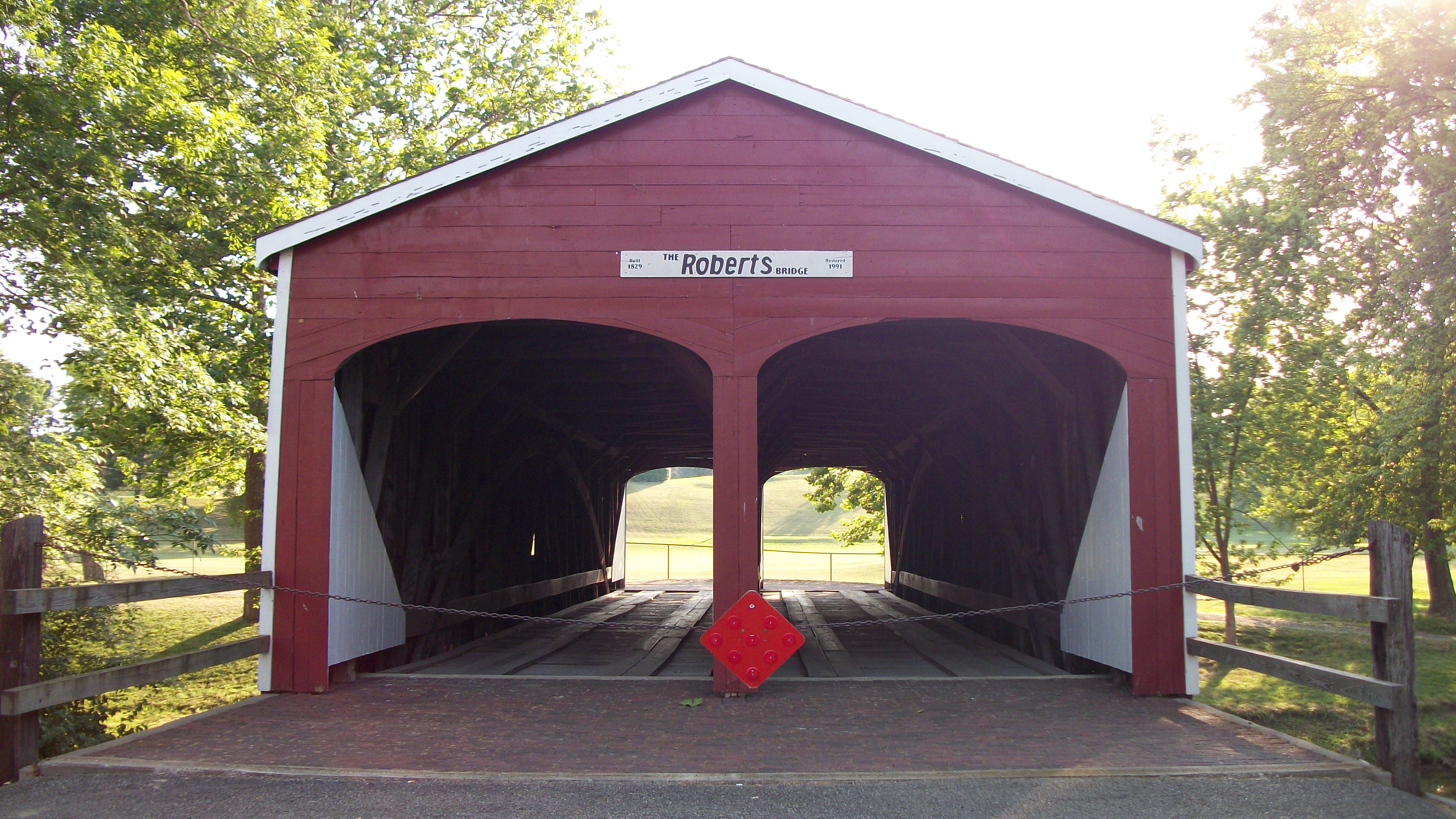
The Roberts Bridge

The View From My Sister's Window
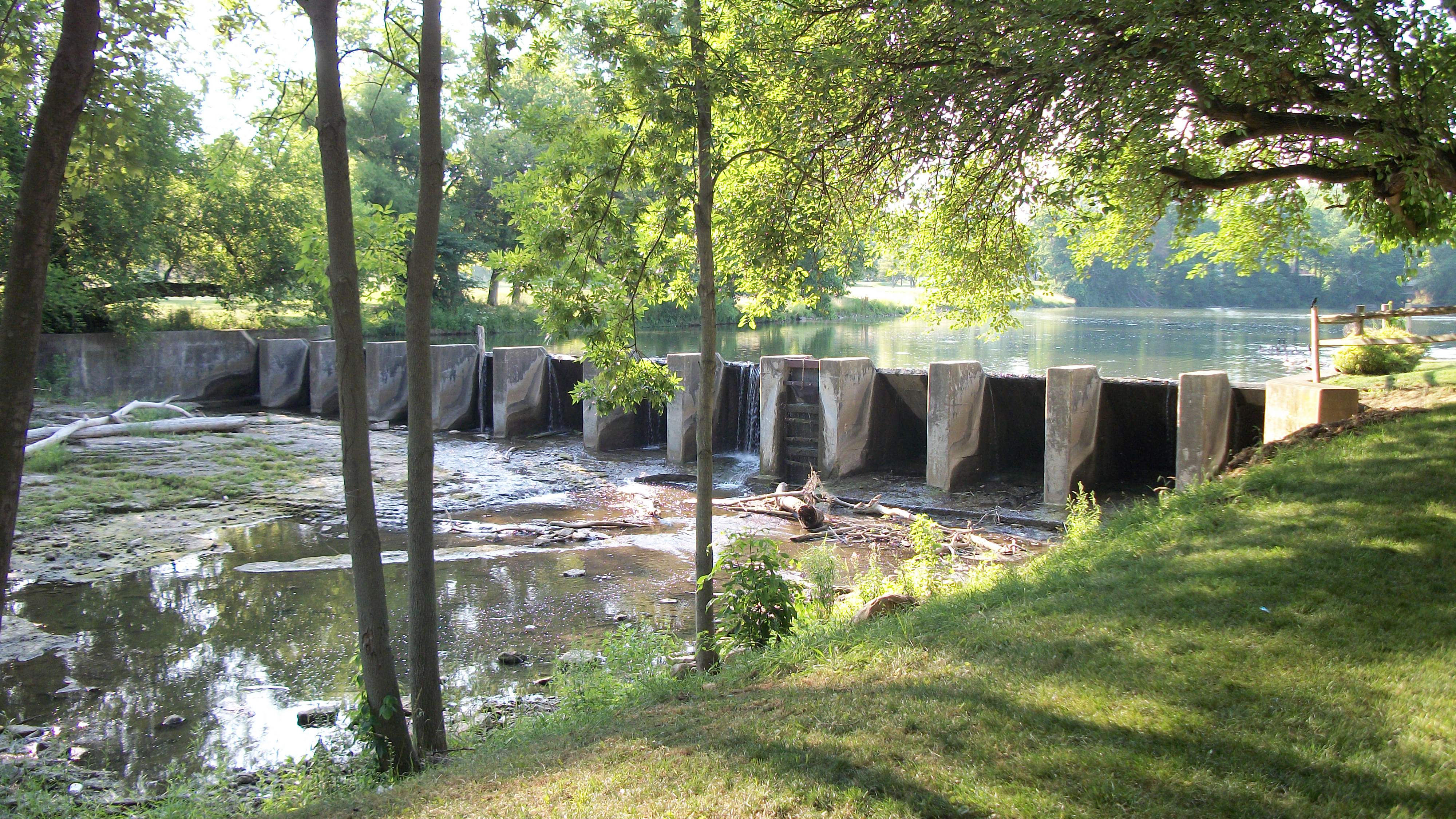
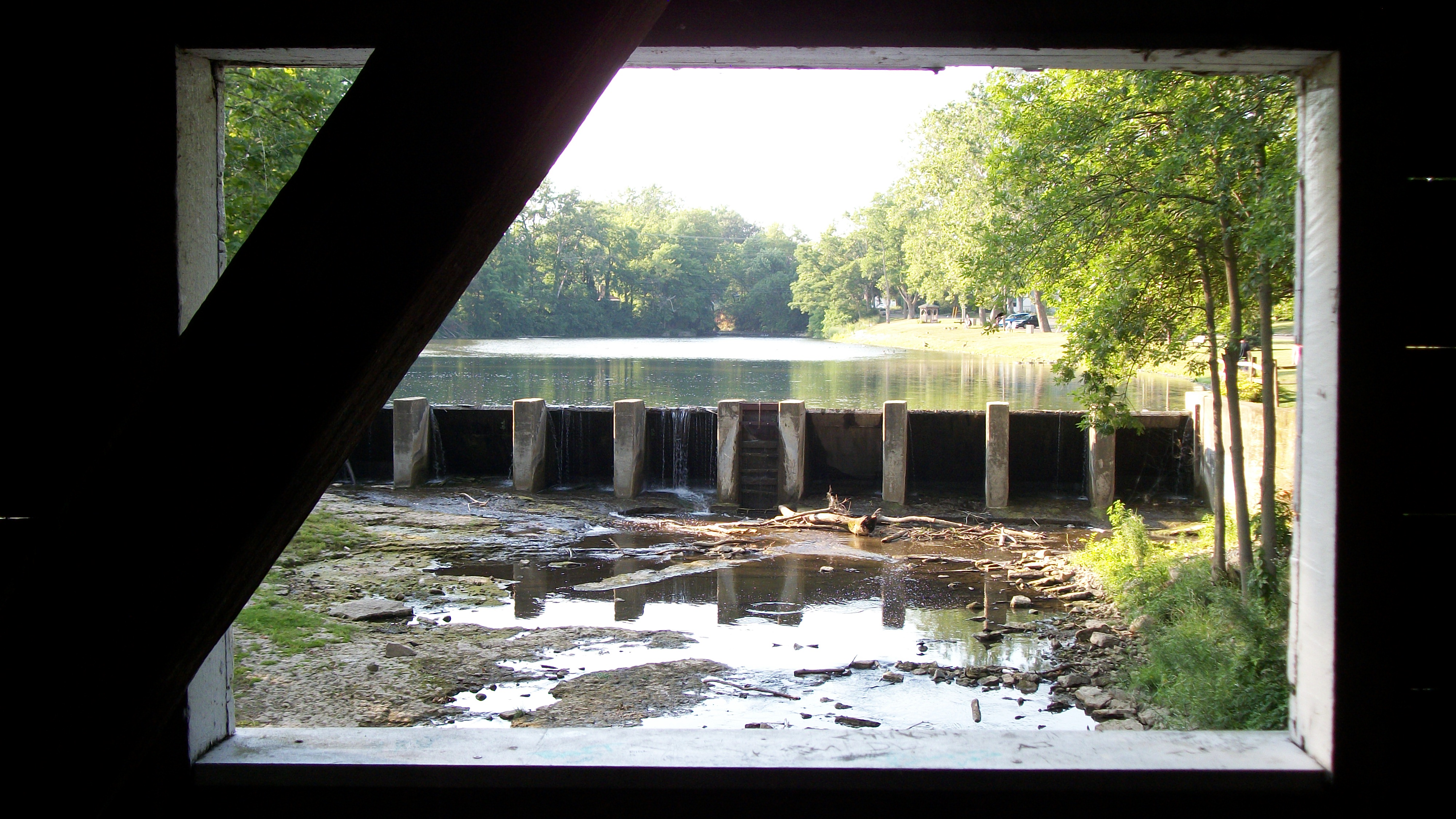
Dam in Eaton, Ohio
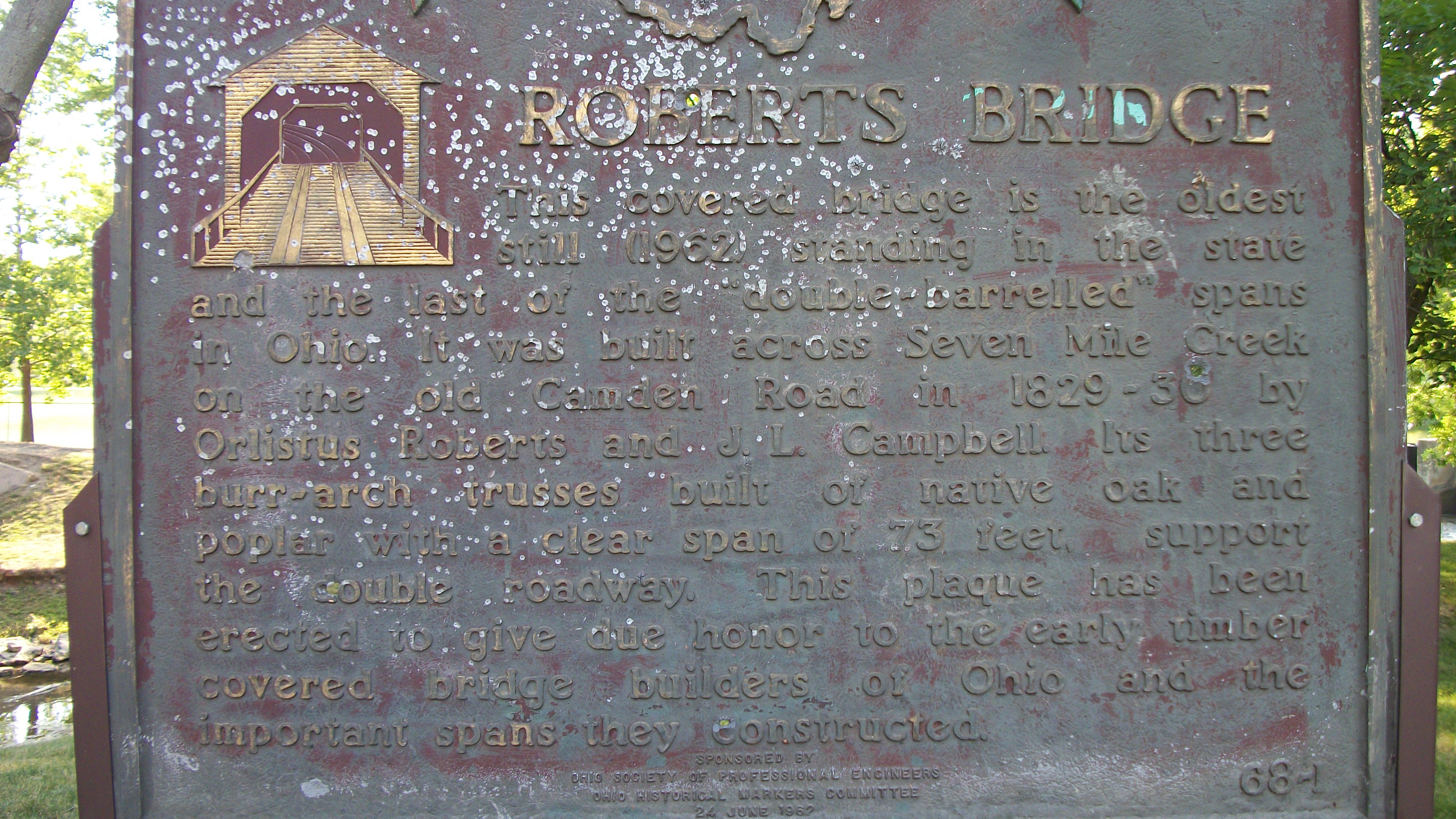
The Roberts Bridge
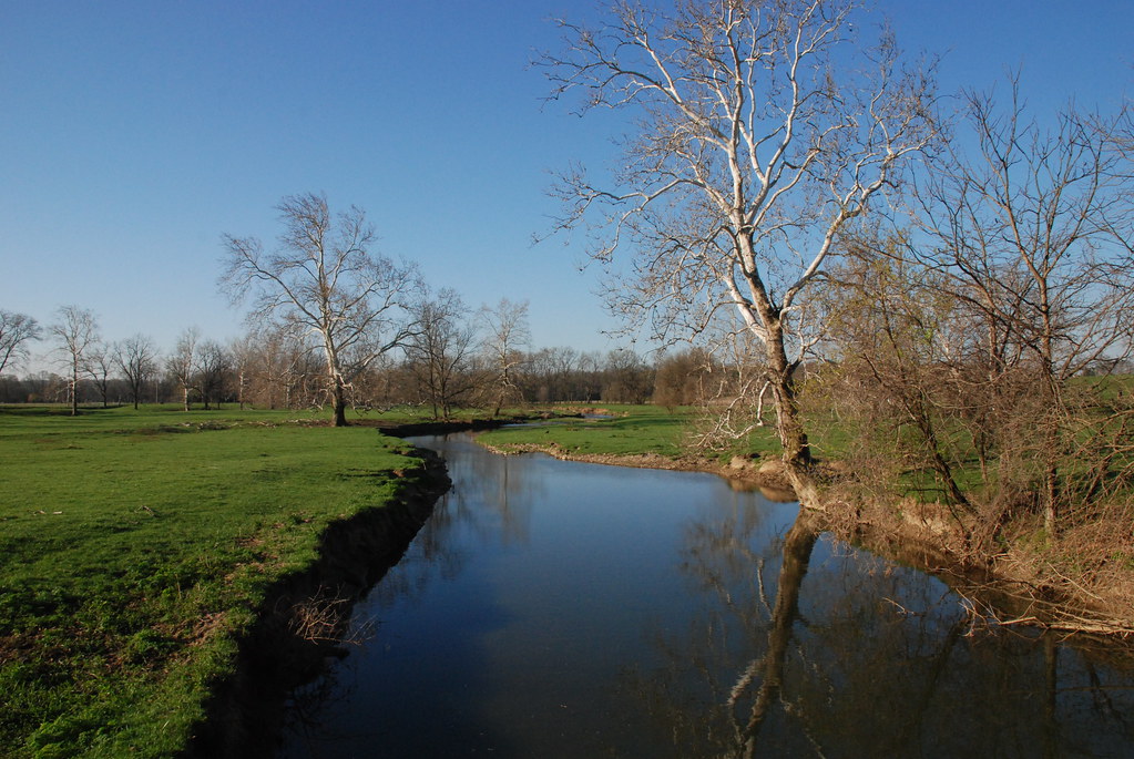
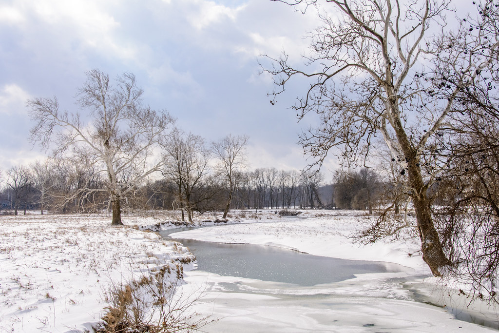
Whitewater River
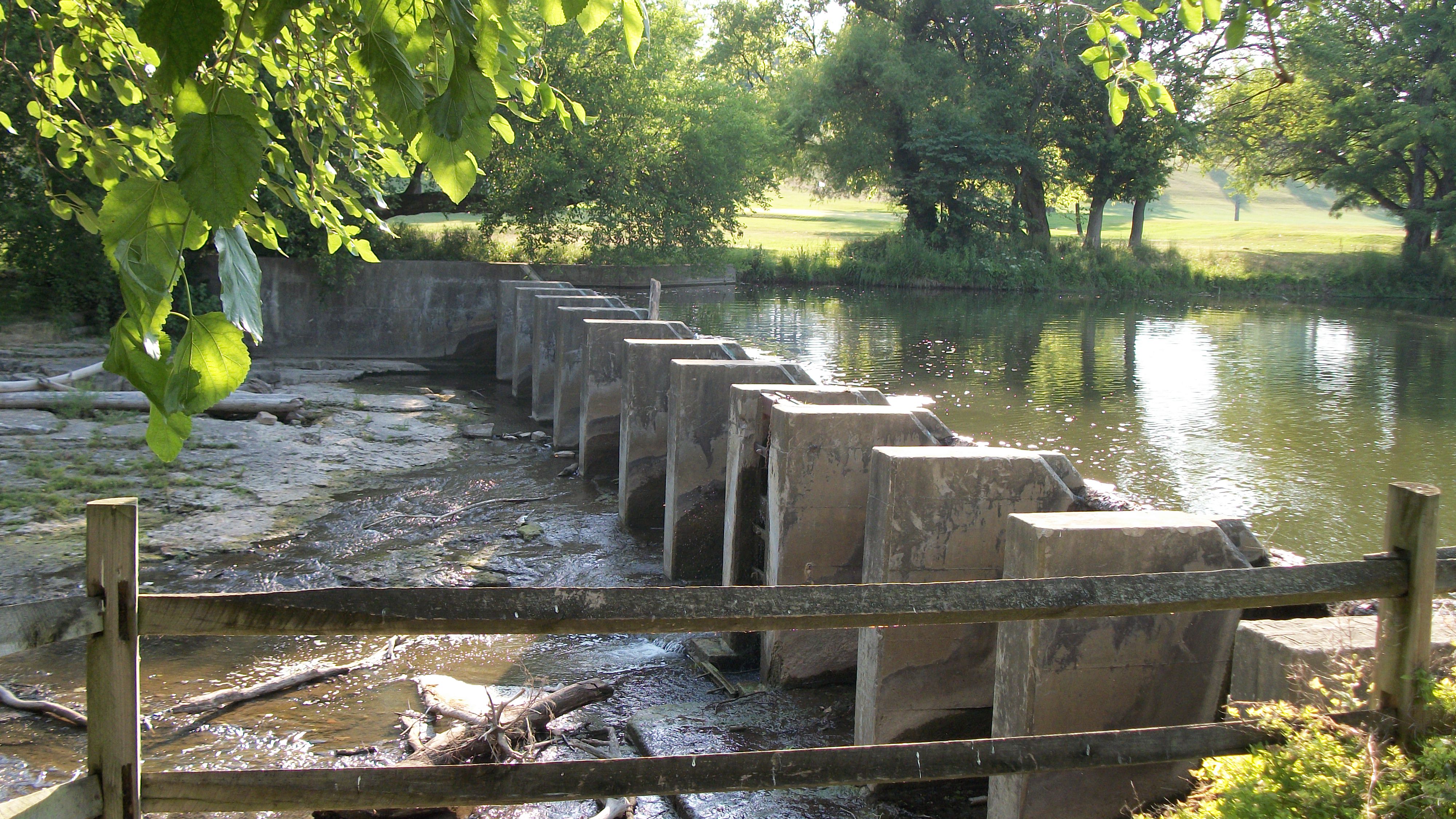
Dam in Eaton, Ohio

Country Creek

Thanks to @johnbakerphotography for the wonderful...

Morton Arch

Evening summer sky

Indiana facing east
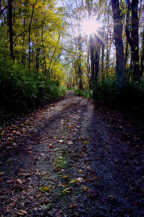
Road Through Trees 7411HDRv111025

Deerlick at Twilight

A Yellow Wood

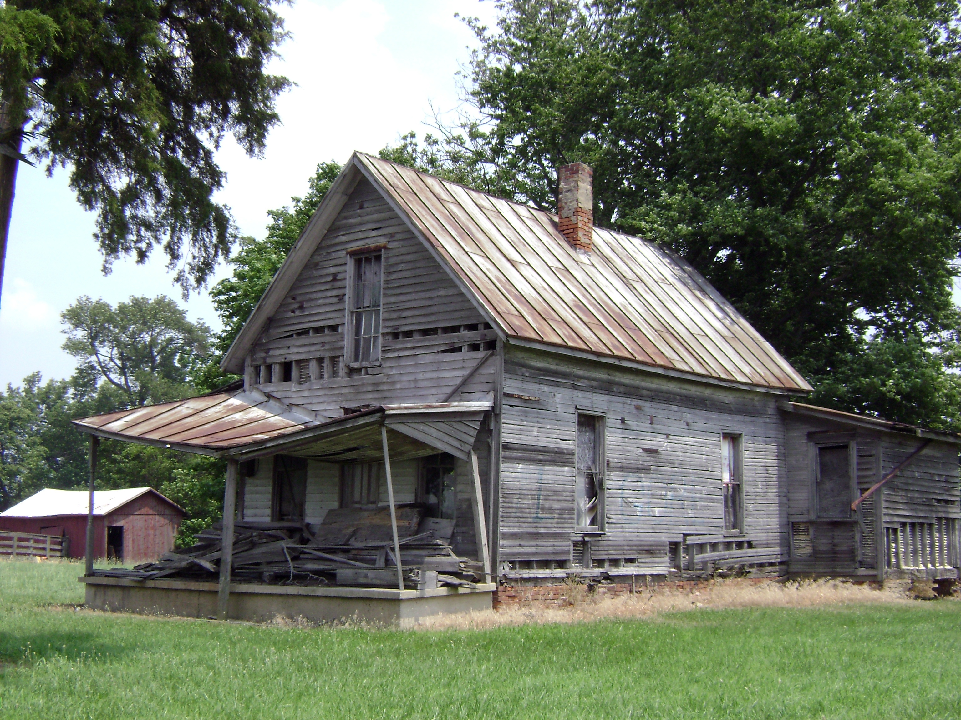
Hayes House 7456HDRv111025

Truck_110912_LR-360.jpg

A cloud photograph for Instagram.

Truck_110912_LR-361.jpg

Truck_110912_LR-353.jpg

Truck_110912_LR-372.jpg

nofilter needed, but I used one...

Truck_110912_LR-358.jpg
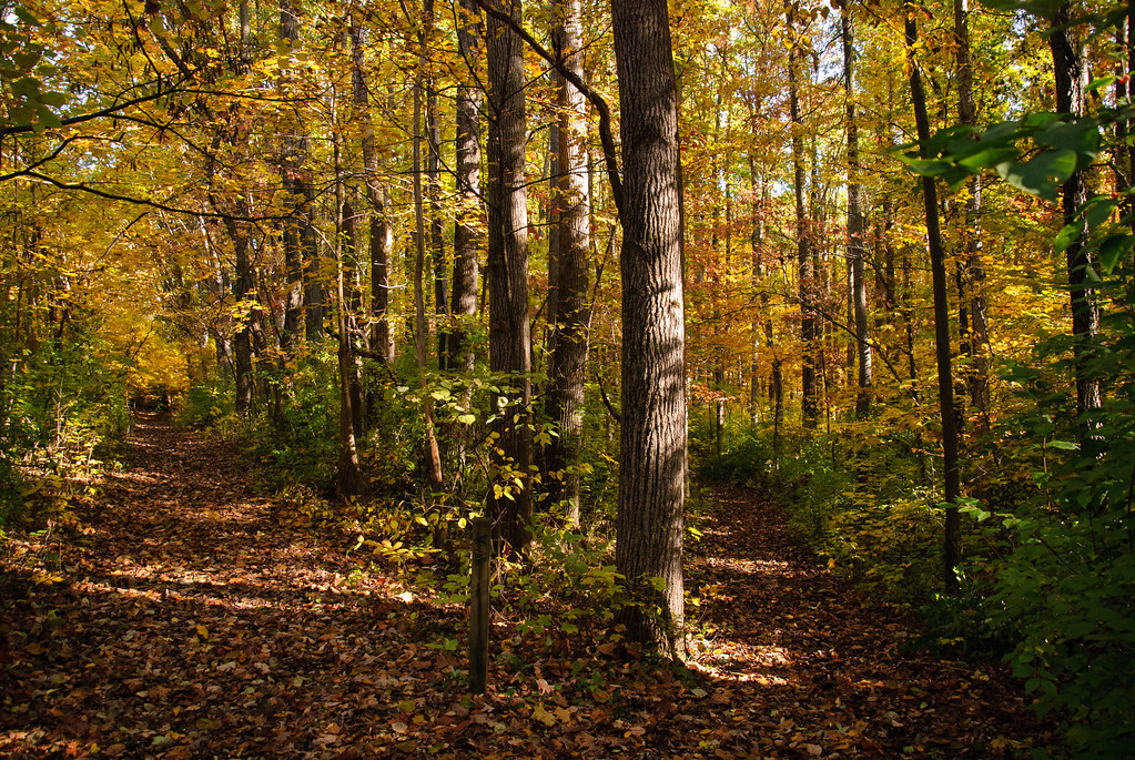
Two roads diverged in a yellow wood
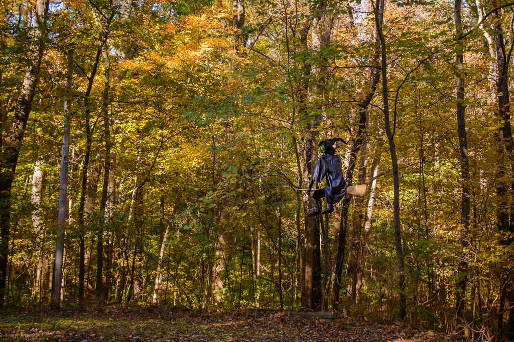
Witch in the Woods

Truck_110912_LR-350.jpg
20060805-130740
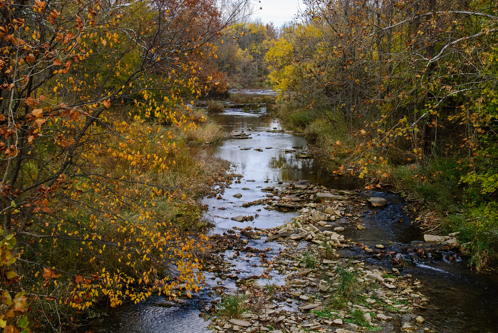
A River Runs Through It
Topographic Map of Monroe Township, OH, USA
Find elevation by address:

Places in Monroe Township, OH, USA:
Places near Monroe Township, OH, USA:
Eldorado
S Main St, Eldorado, OH, USA
1800 W Winnerline Rd
US-40, New Paris, OH, USA
Washington Township
3737 Upshur Northern Rd
Preble County
N Commerce St, Lewisburg, OH, USA
Lewisburg
W Main St, Eaton, OH, USA
Eaton
109 Tiffin Ct
123 Hillcrest Dr
Eaton, OH, USA
121 Amelia Dr
Twin Township
93 Quaker Trace Rd, West Alexandria, OH, USA
OH-, West Alexandria, OH, USA
5821 Cedarwood Dr
West Alexandria
Recent Searches:
- Elevation of Corso Fratelli Cairoli, 35, Macerata MC, Italy
- Elevation of Tallevast Rd, Sarasota, FL, USA
- Elevation of 4th St E, Sonoma, CA, USA
- Elevation of Black Hollow Rd, Pennsdale, PA, USA
- Elevation of Oakland Ave, Williamsport, PA, USA
- Elevation of Pedrógão Grande, Portugal
- Elevation of Klee Dr, Martinsburg, WV, USA
- Elevation of Via Roma, Pieranica CR, Italy
- Elevation of Tavkvetili Mountain, Georgia
- Elevation of Hartfords Bluff Cir, Mt Pleasant, SC, USA