Elevation of Alpine Northwest, WY, USA
Location: United States > Wyoming > Lincoln County >
Longitude: -111.03442
Latitude: 43.1821597
Elevation: 2141m / 7024feet
Barometric Pressure: 78KPa
Elevation Map:
Satellite Map:
Related Photos:
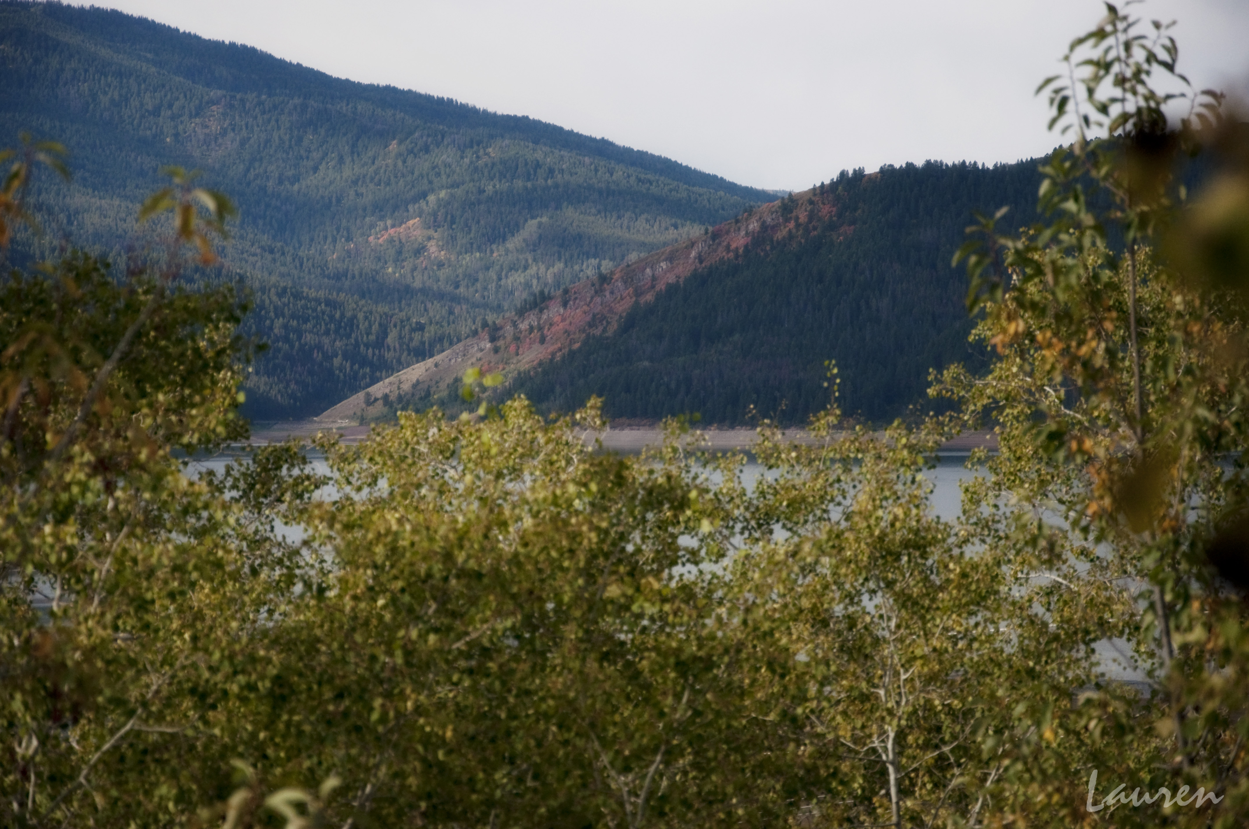
Palisades Lake
Topographic Map of Alpine Northwest, WY, USA
Find elevation by address:

Places near Alpine Northwest, WY, USA:
Mountain View Circle
Mountain View Circle
Mountain View Circle
94 Mountain View Cir
Alpine North Loop Campground
20 US-89, Alpine, WY, USA
Greys River
Alpine
Alpine Northeast
Palisades Reservoir
Bridge Campground
Double L Ranch
Etna
Weber Ln, Freedom, ID, USA
240 South Forest
227 Spurwood Dr
67 Walnut Dr
Muddy String Co Road 117
246 Brambleberry Dr
Star Valley Ranch
Recent Searches:
- Elevation of Corso Fratelli Cairoli, 35, Macerata MC, Italy
- Elevation of Tallevast Rd, Sarasota, FL, USA
- Elevation of 4th St E, Sonoma, CA, USA
- Elevation of Black Hollow Rd, Pennsdale, PA, USA
- Elevation of Oakland Ave, Williamsport, PA, USA
- Elevation of Pedrógão Grande, Portugal
- Elevation of Klee Dr, Martinsburg, WV, USA
- Elevation of Via Roma, Pieranica CR, Italy
- Elevation of Tavkvetili Mountain, Georgia
- Elevation of Hartfords Bluff Cir, Mt Pleasant, SC, USA