Elevation of Alpine Northeast, WY, USA
Location: United States > Wyoming > Lincoln County >
Longitude: -111.00620
Latitude: 43.1945756
Elevation: 2026m / 6647feet
Barometric Pressure: 79KPa
Elevation Map:
Satellite Map:
Related Photos:
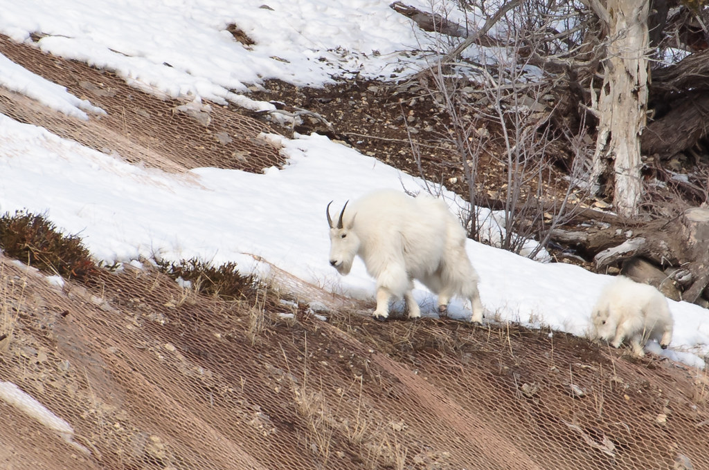
Alpine Wild Mountain Goats

Bair family reunion group 2012

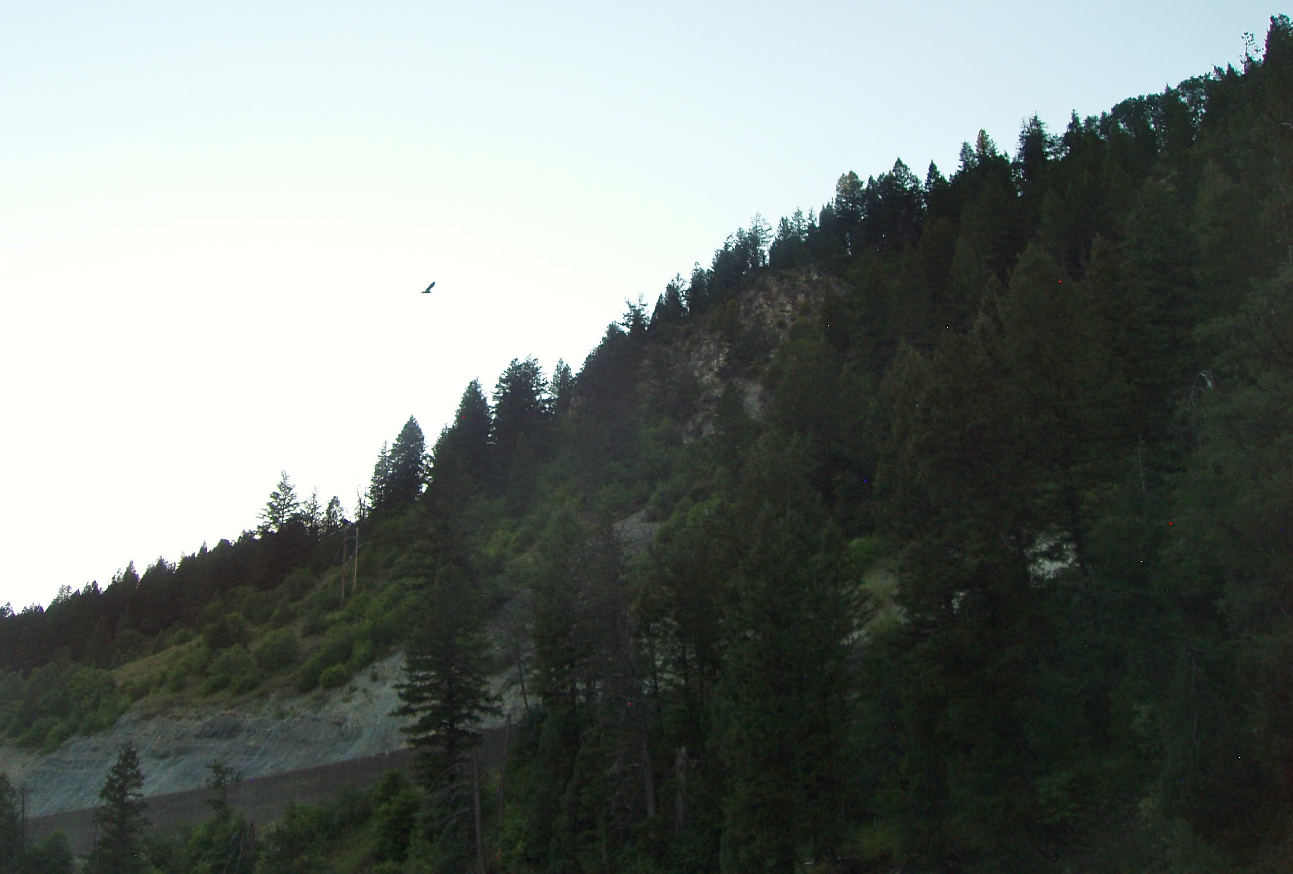
A Hillside of Trees to Take in the Snake River

Mountain Goats, Alpine Wyoming
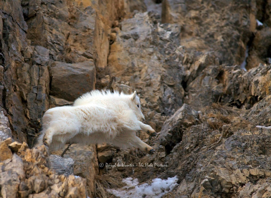
Jumping Mountain Goat Kid

Bulls,Cows and Calfs
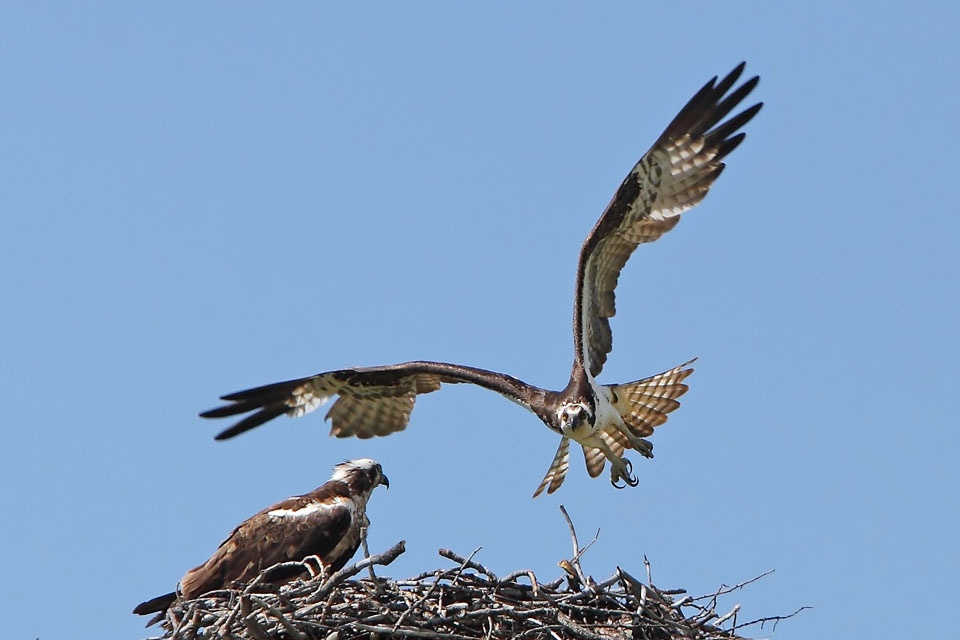
Two Ospreys
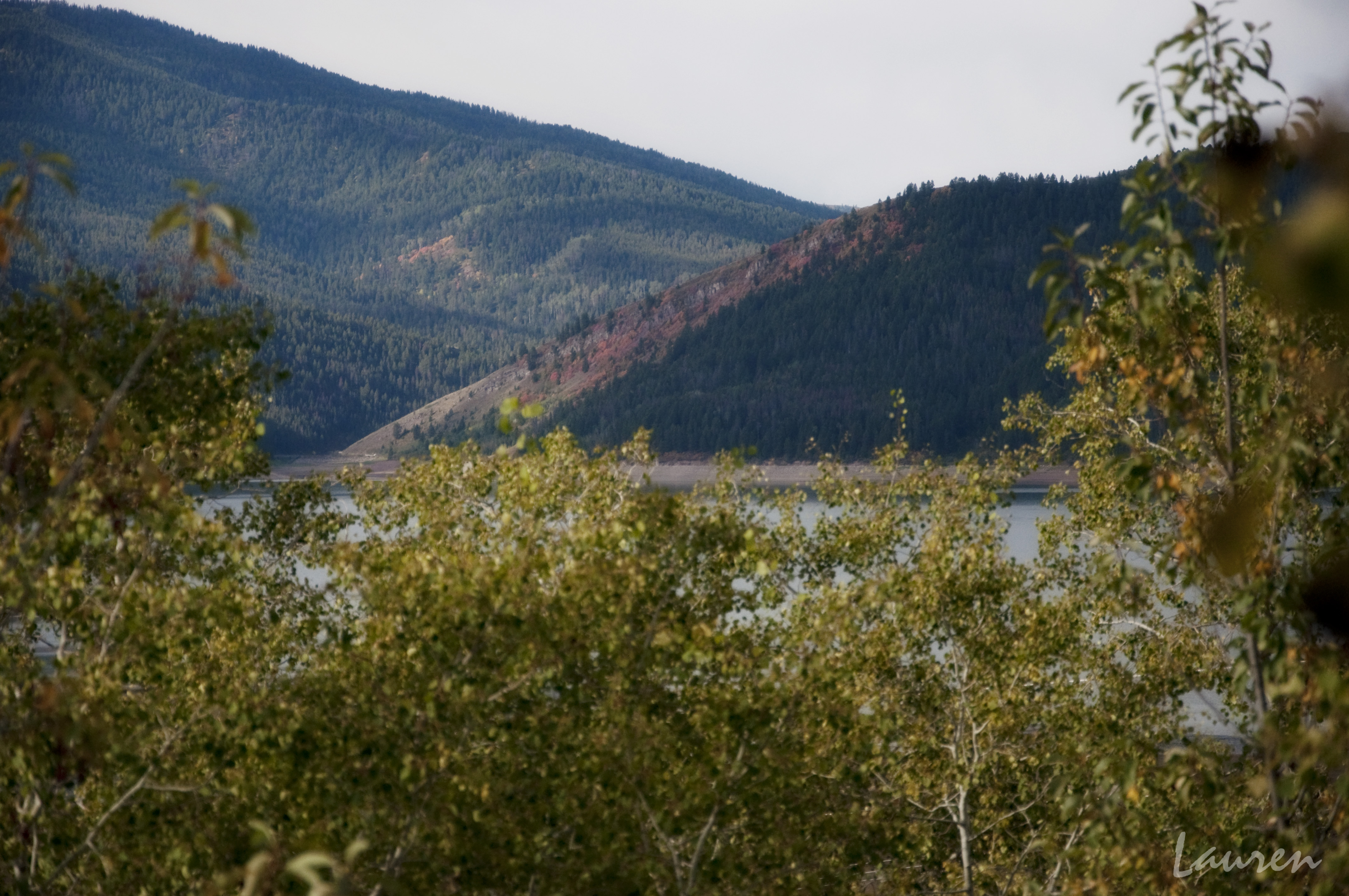
Palisades Lake

He was watching me, watching him.
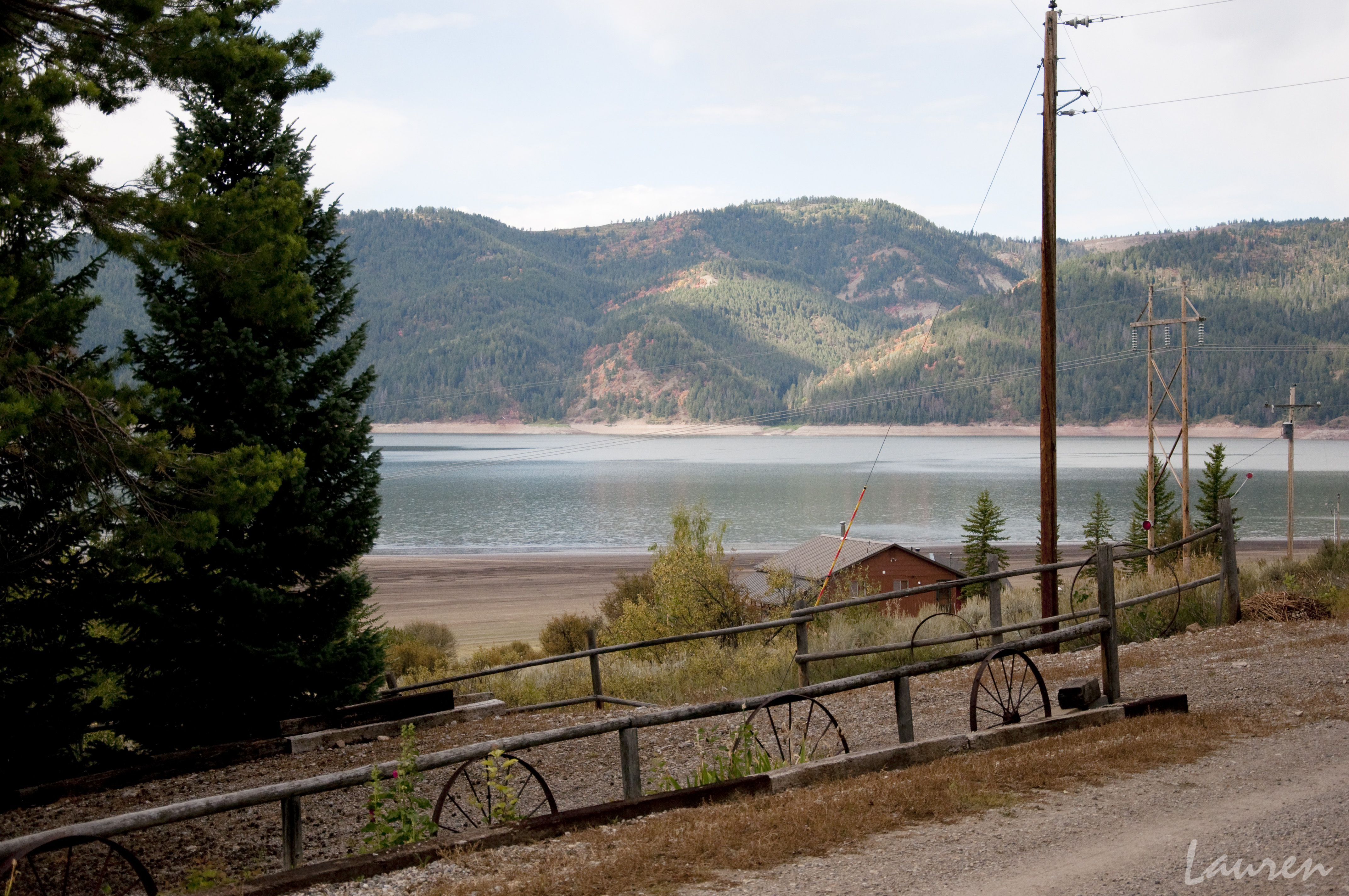
Palisades Lake
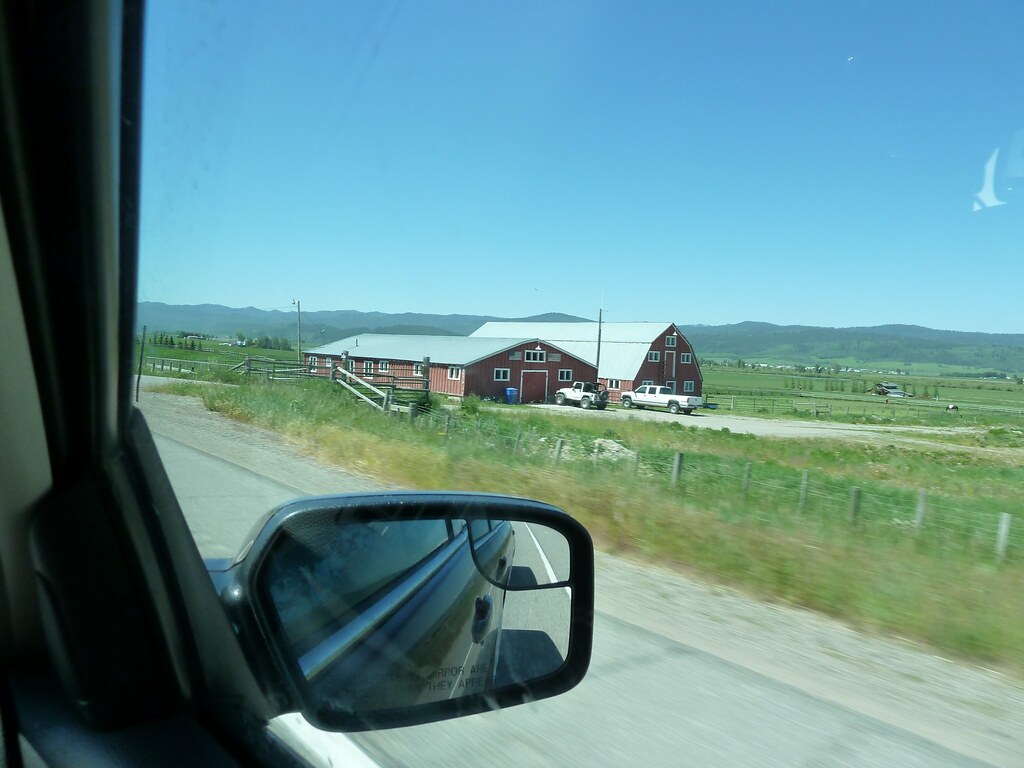
Views from the road: from Jackson, Wy to Salt Lake City, Ut
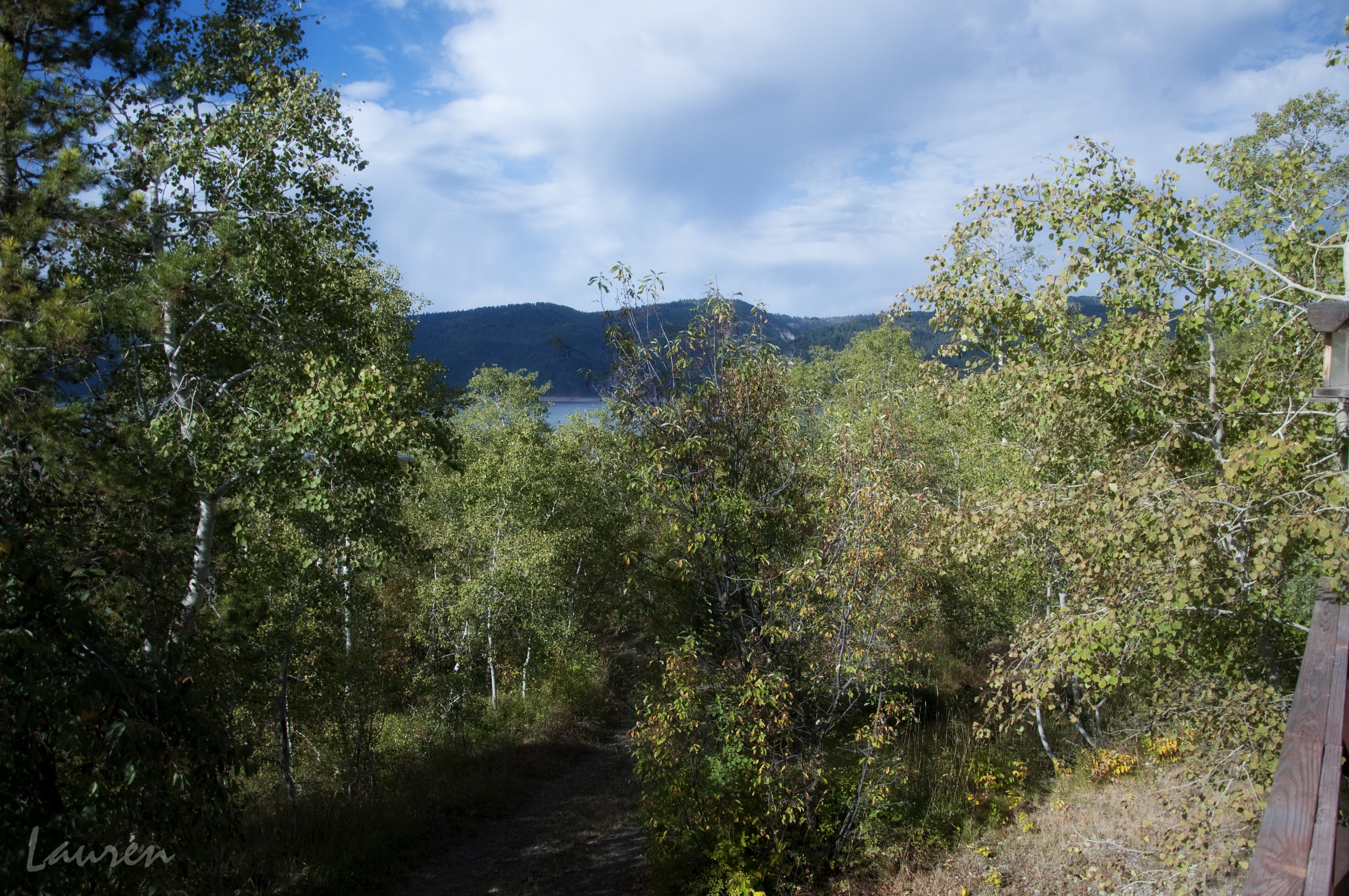
View from Cabin of Lake Palisades
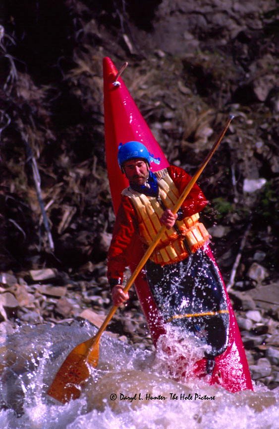
Kayaker Steve Horn Doing Ender
The Pony Express
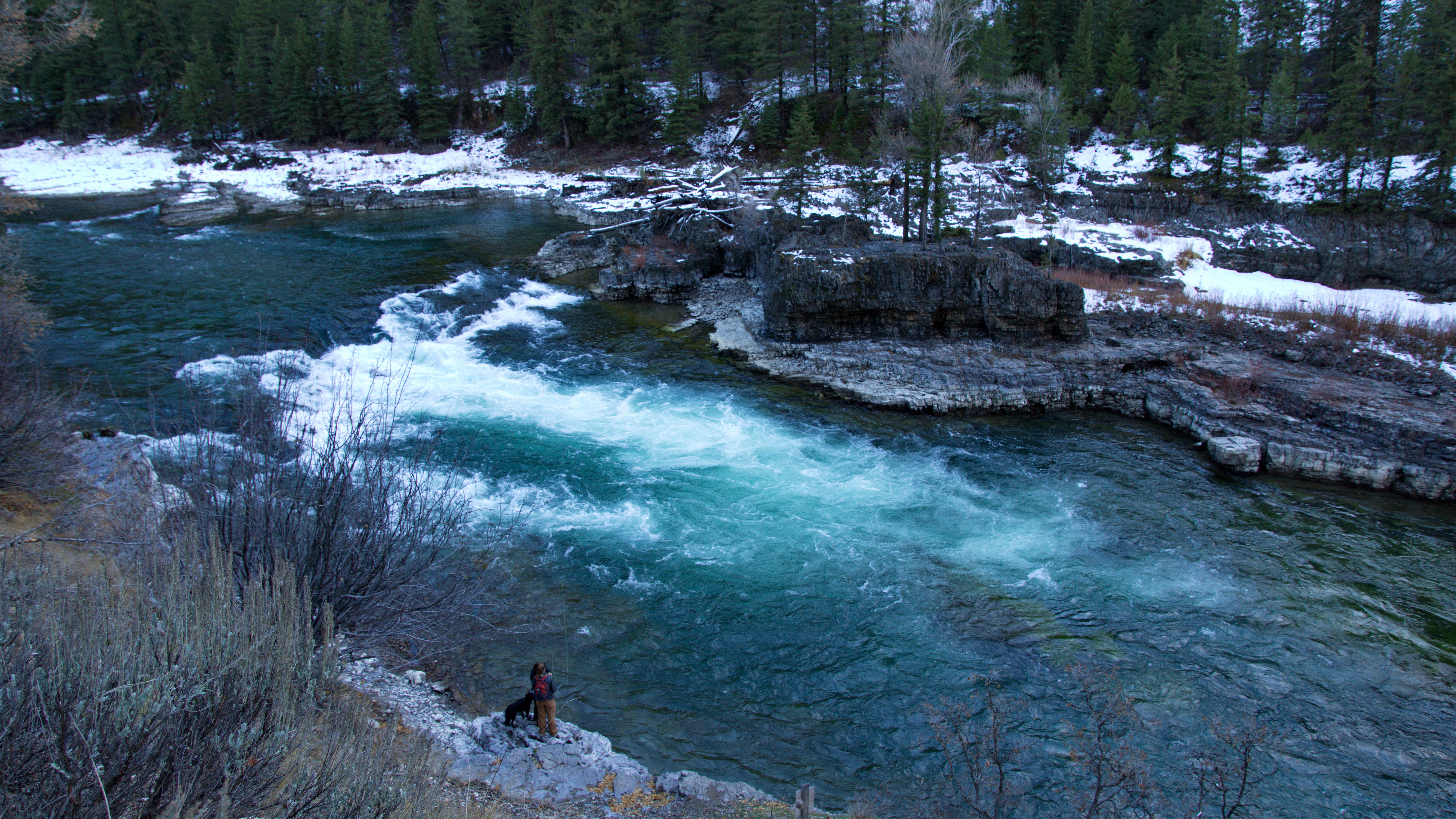
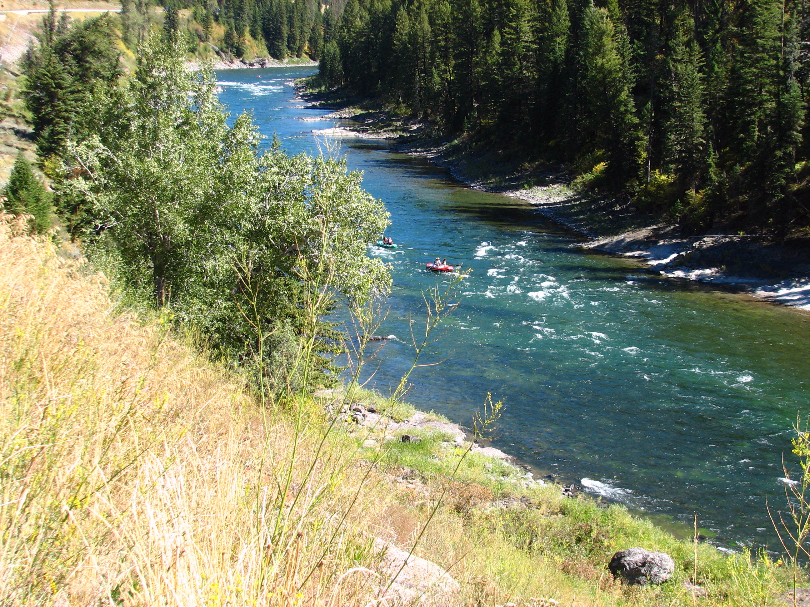
Fishing on the Snake River
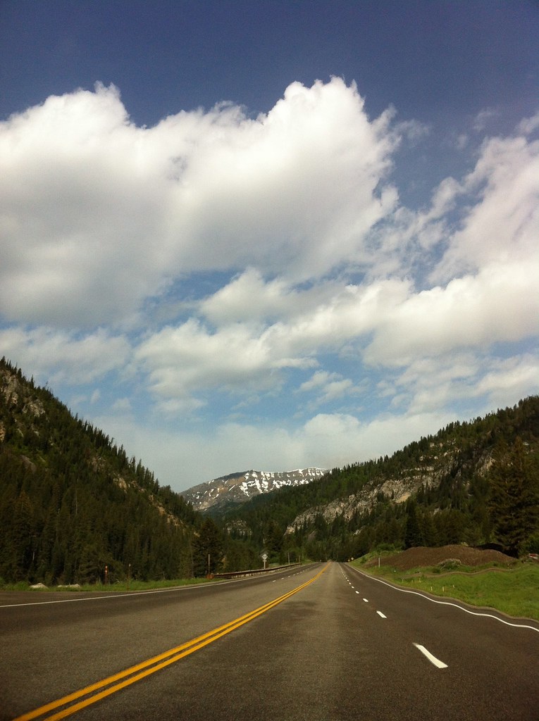
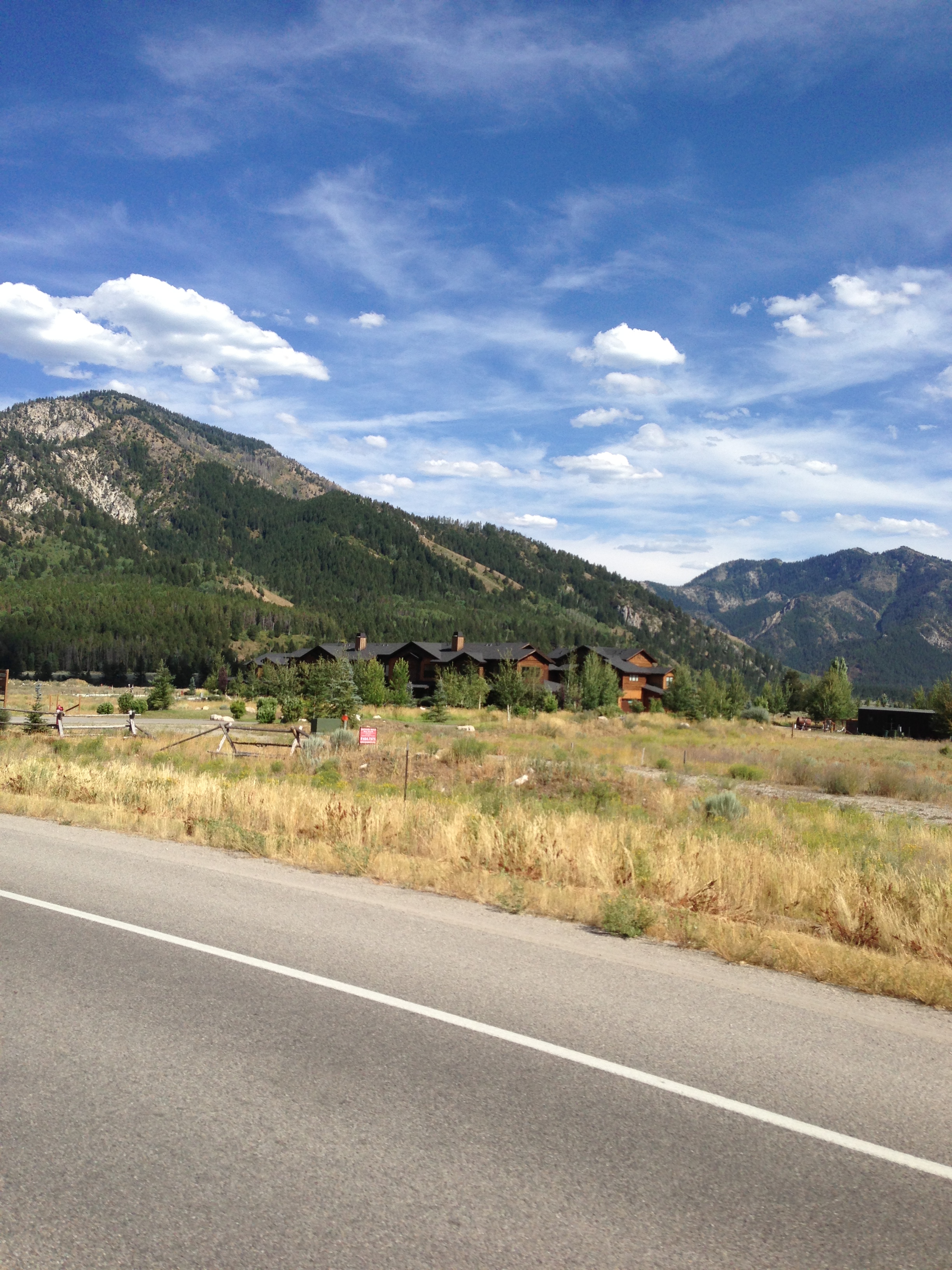
On the road

Aerial over Etna
2009-08-17(11.21)2009-08-17(11.21)_DSC1748
Hwy 26 & 31 Idaho

Balsam Root
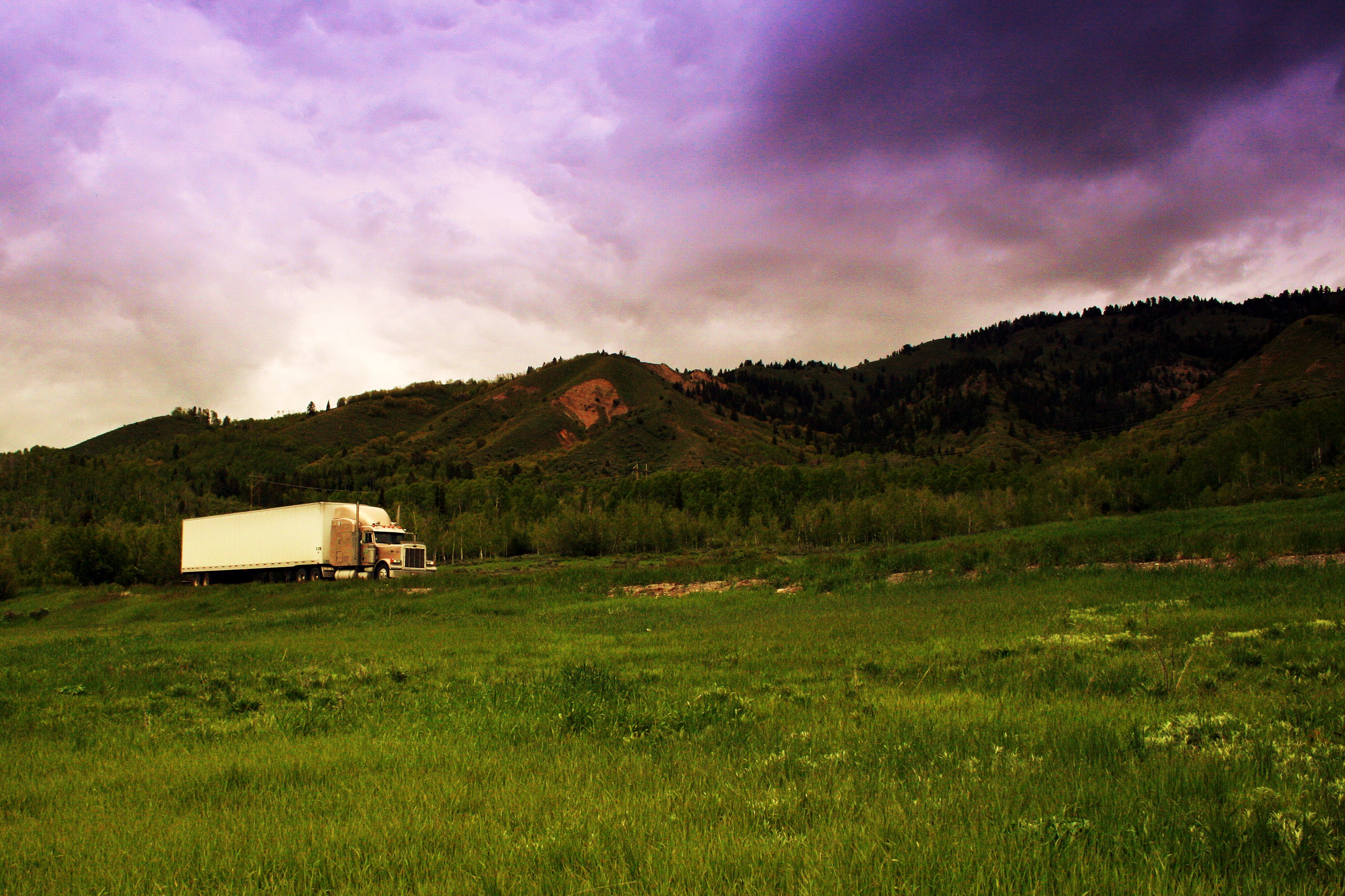
Open road

Exploring the ranger station
Hwy 26 & 31 Idaho
Drift Boat

Hwy 26 & 31 Idaho
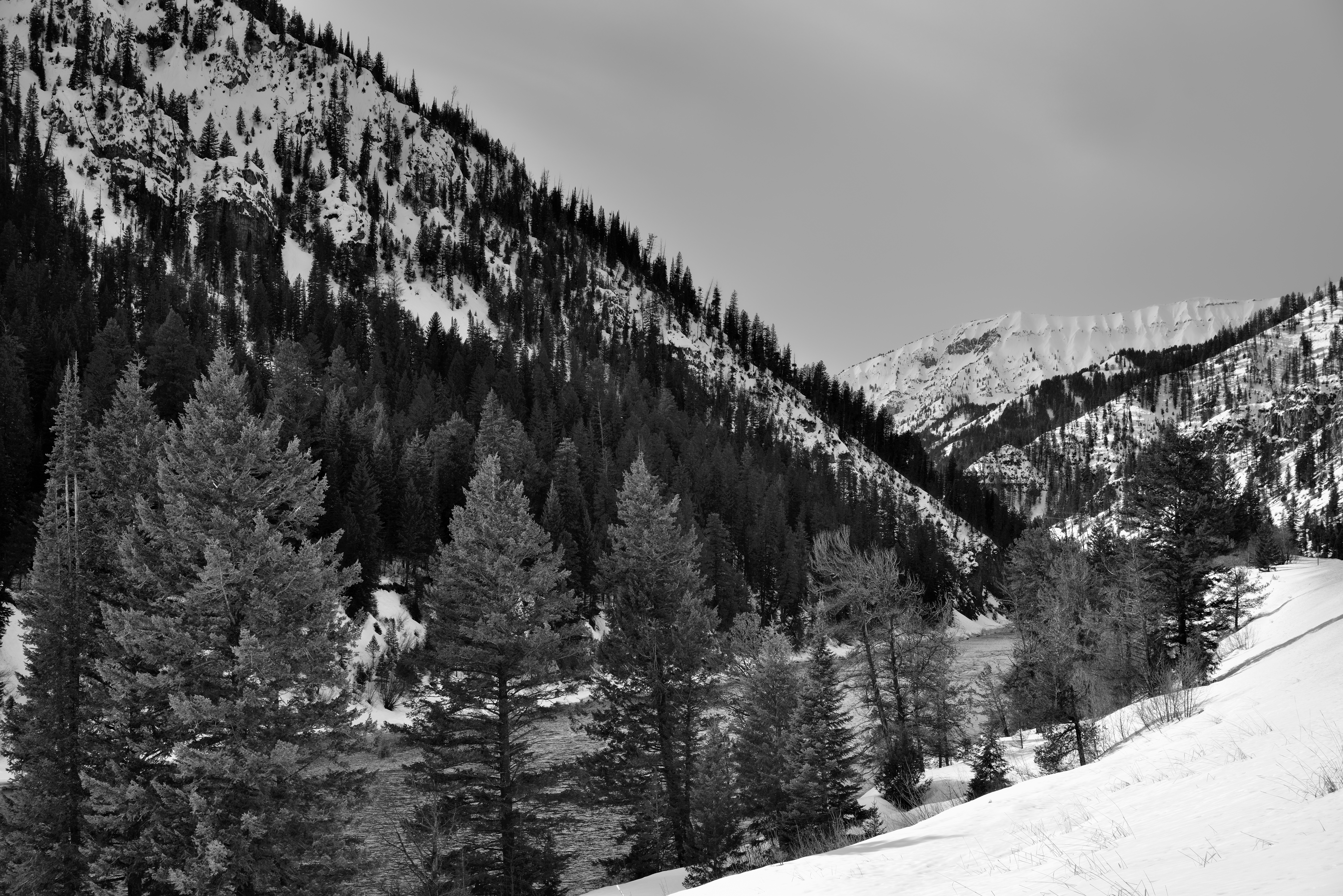
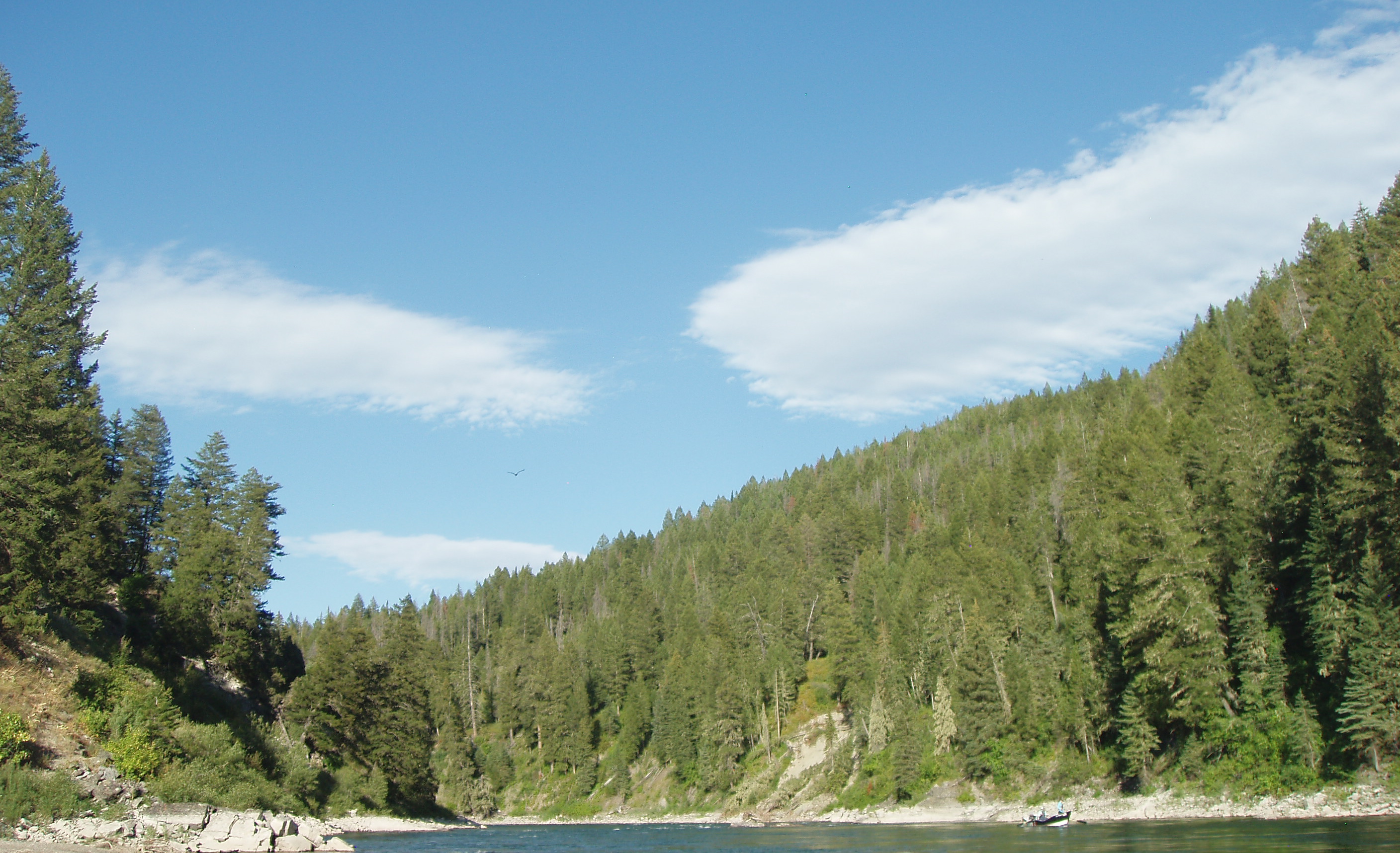
The Snake River Flowing by Mountains in Wyoming (Black & White)
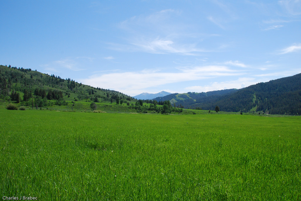
Soon to be amber waves of grain
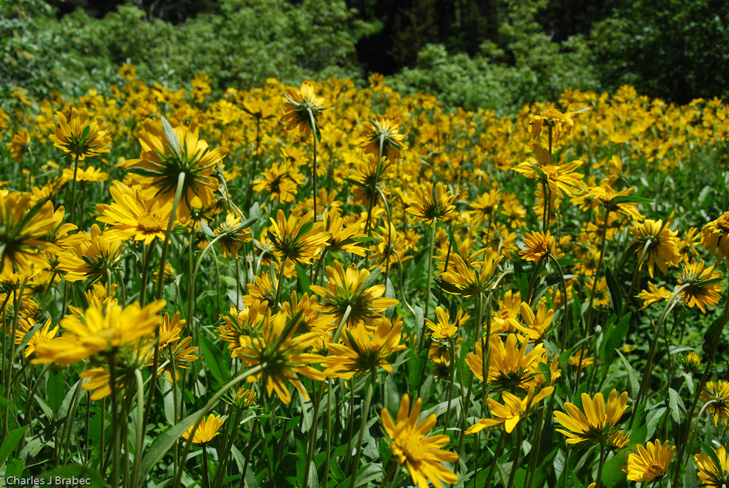
Balsam Root Flowers
River Run End
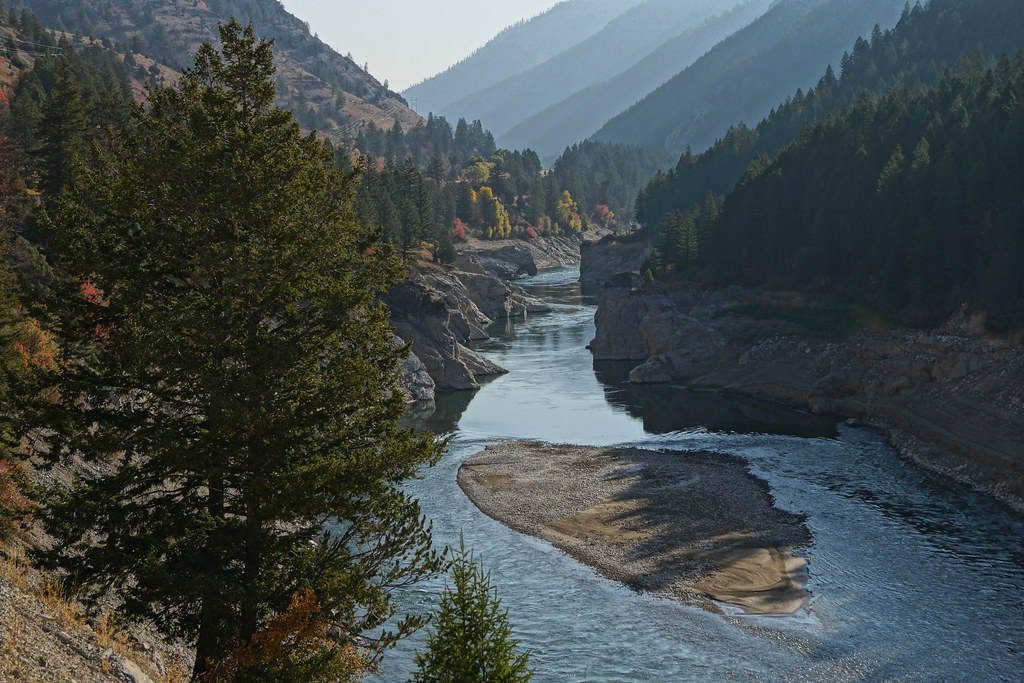
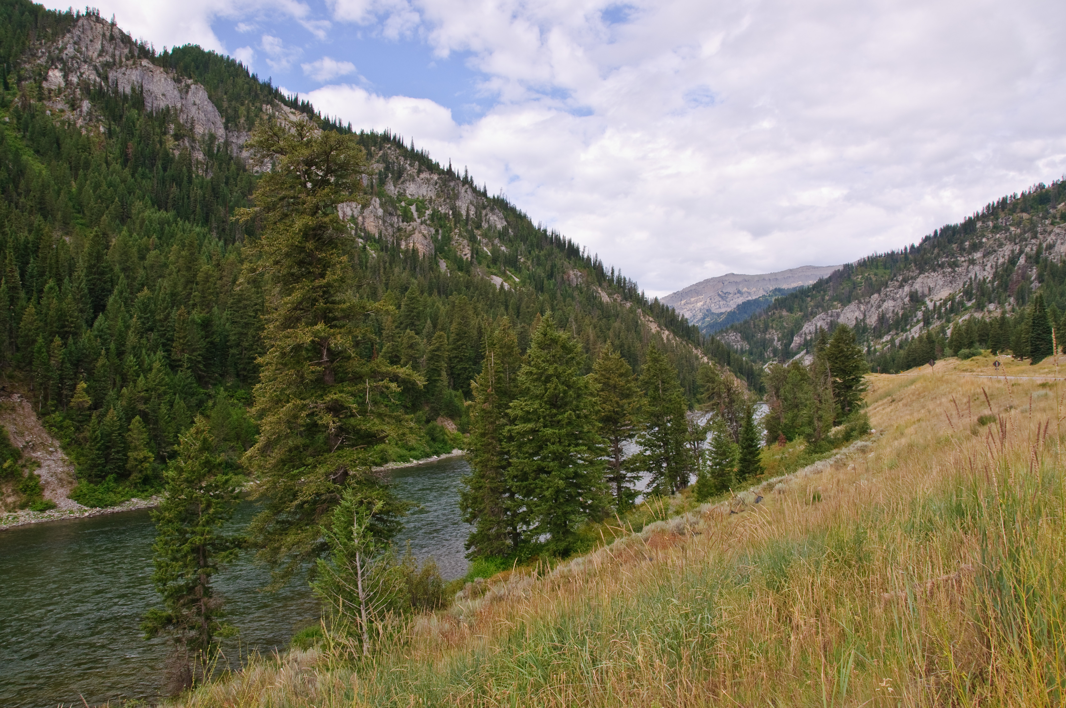
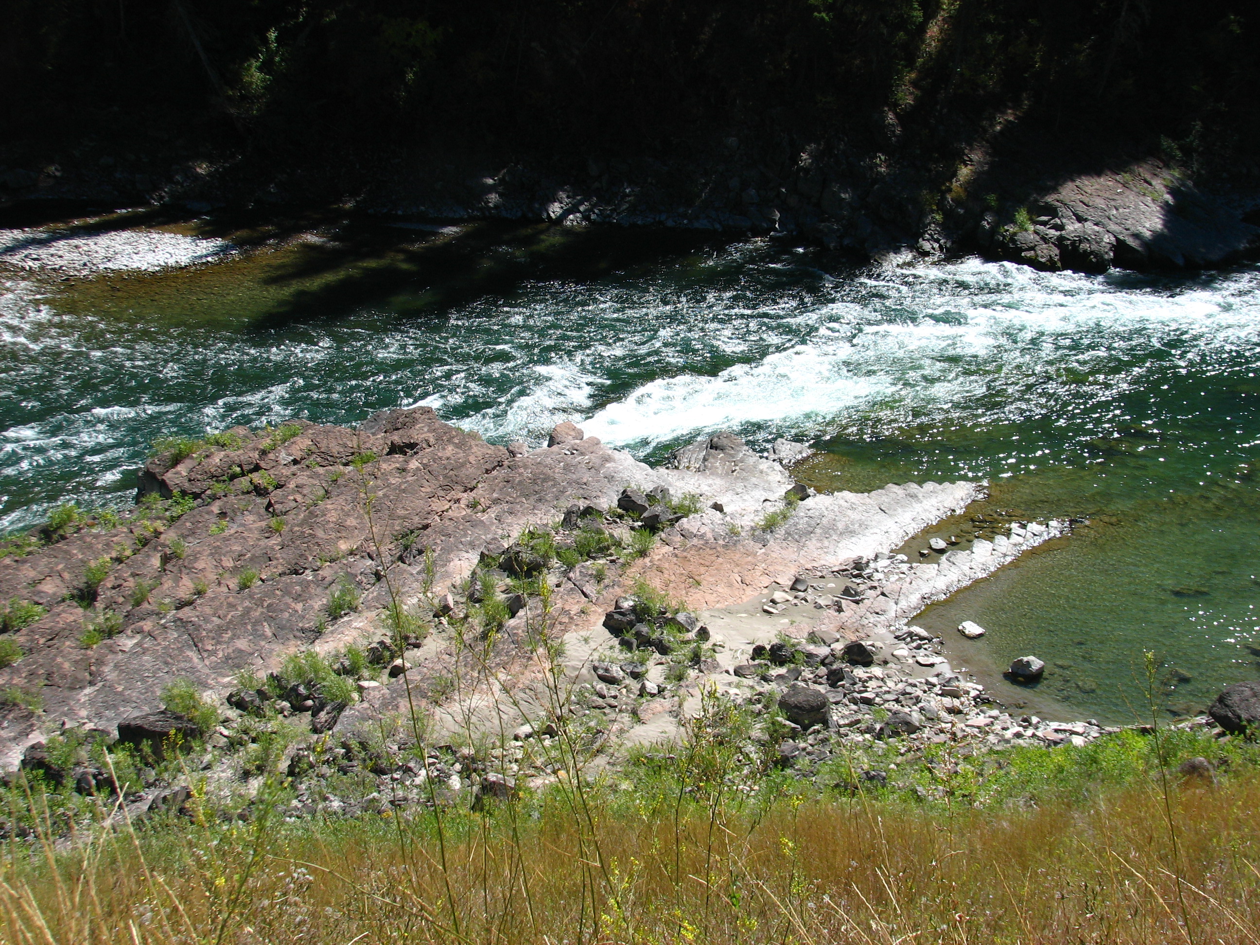
Snake River
Salt Lake City to Jackson WY - Sturgis 2013
Topographic Map of Alpine Northeast, WY, USA
Find elevation by address:

Places near Alpine Northeast, WY, USA:
Greys River
Alpine Northwest
20 US-89, Alpine, WY, USA
Mountain View Circle
Mountain View Circle
Mountain View Circle
Alpine
94 Mountain View Cir
Alpine North Loop Campground
Bridge Campground
Palisades Reservoir
Double L Ranch
Etna
240 South Forest
227 Spurwood Dr
Murphy Creek Campground
Weber Ln, Freedom, ID, USA
67 Walnut Dr
Muddy String Co Road 117
Star Valley Ranch
Recent Searches:
- Elevation of Corso Fratelli Cairoli, 35, Macerata MC, Italy
- Elevation of Tallevast Rd, Sarasota, FL, USA
- Elevation of 4th St E, Sonoma, CA, USA
- Elevation of Black Hollow Rd, Pennsdale, PA, USA
- Elevation of Oakland Ave, Williamsport, PA, USA
- Elevation of Pedrógão Grande, Portugal
- Elevation of Klee Dr, Martinsburg, WV, USA
- Elevation of Via Roma, Pieranica CR, Italy
- Elevation of Tavkvetili Mountain, Georgia
- Elevation of Hartfords Bluff Cir, Mt Pleasant, SC, USA