Elevation map of Lincoln County, WY, USA
Location: United States > Wyoming >
Longitude: -110.52154
Latitude: 42.0703294
Elevation: 2228m / 7310feet
Barometric Pressure: 77KPa
Elevation Map:
Satellite Map:
Related Photos:
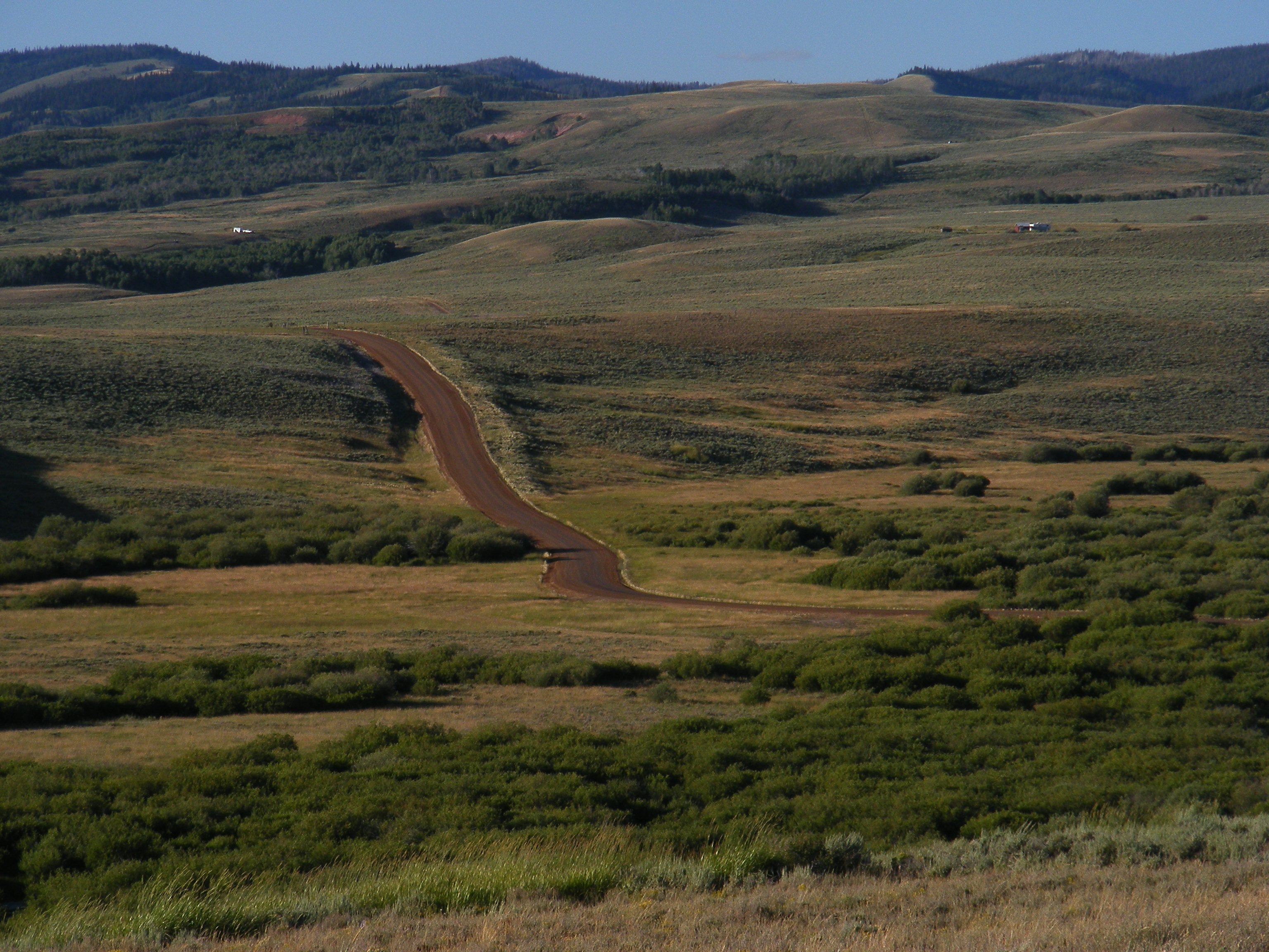
Big Spring Scenic Byway
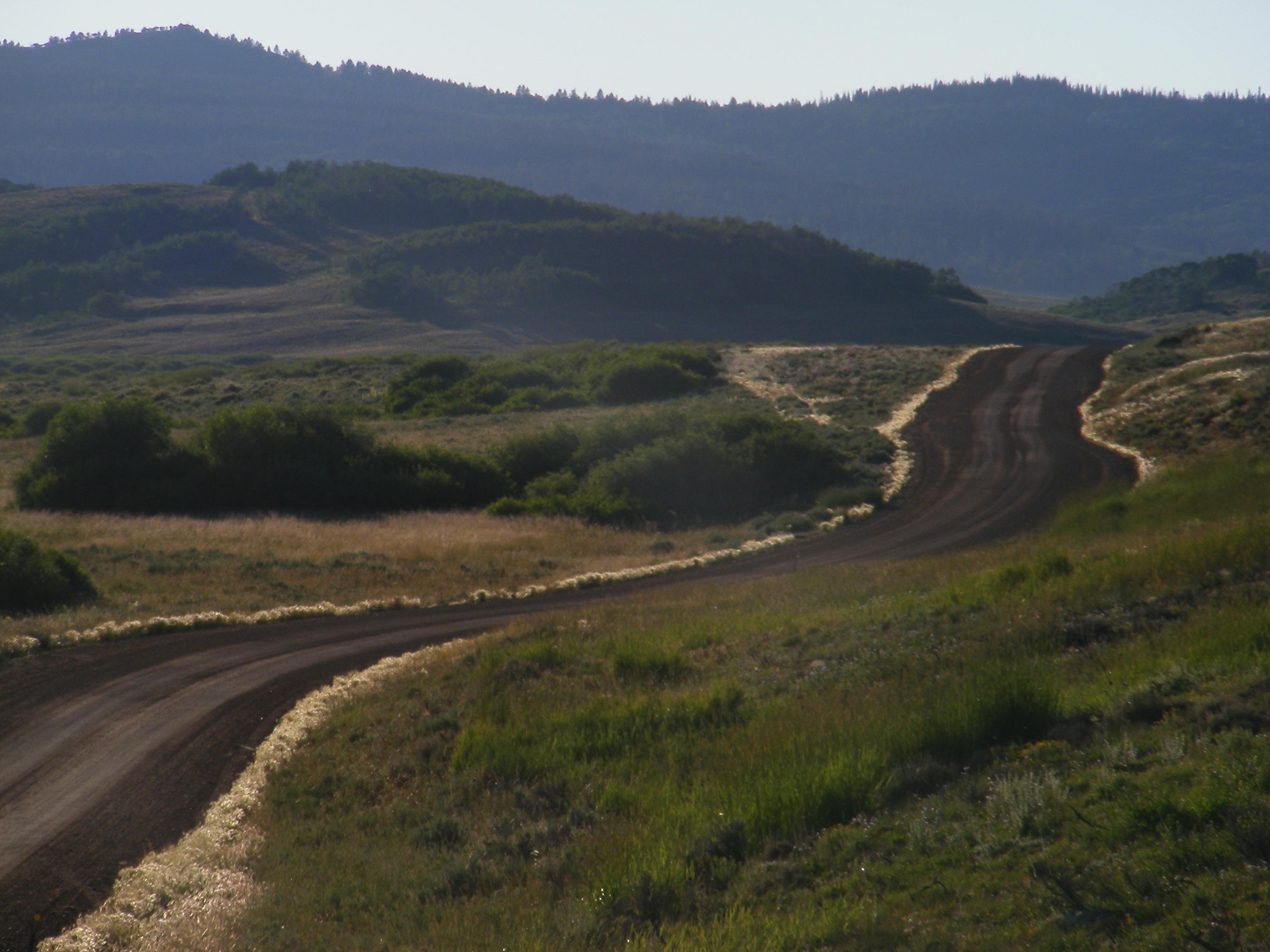
The Road Goes Ever On and On
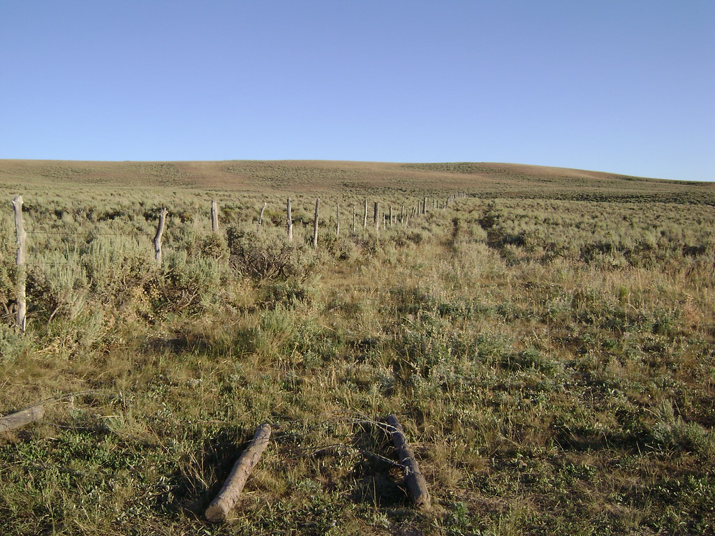
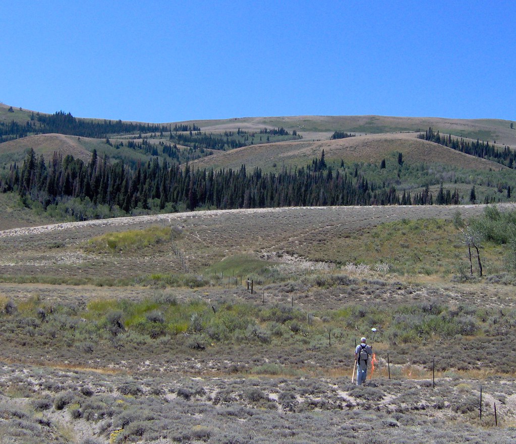
Wyoming Fenceline

Oyster Ridge, Wyoming

Jupiter and Venus in the clouds

Head to the Shade

Cindy Drives

A Sea of Color

Teddy Bear Corner

outta water
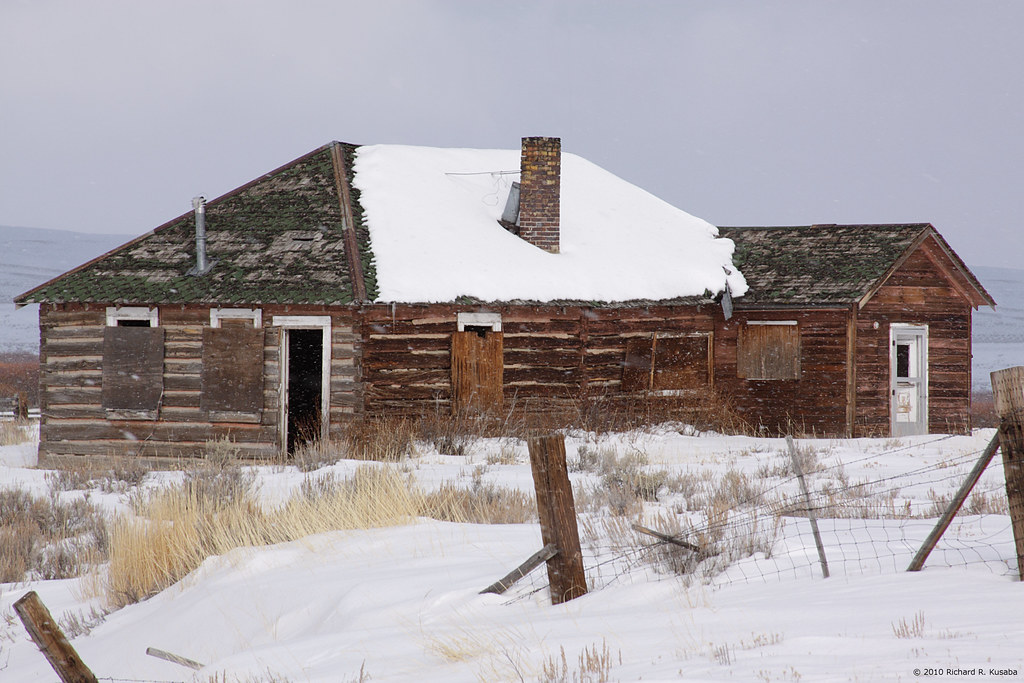
Abandoned Ranch House

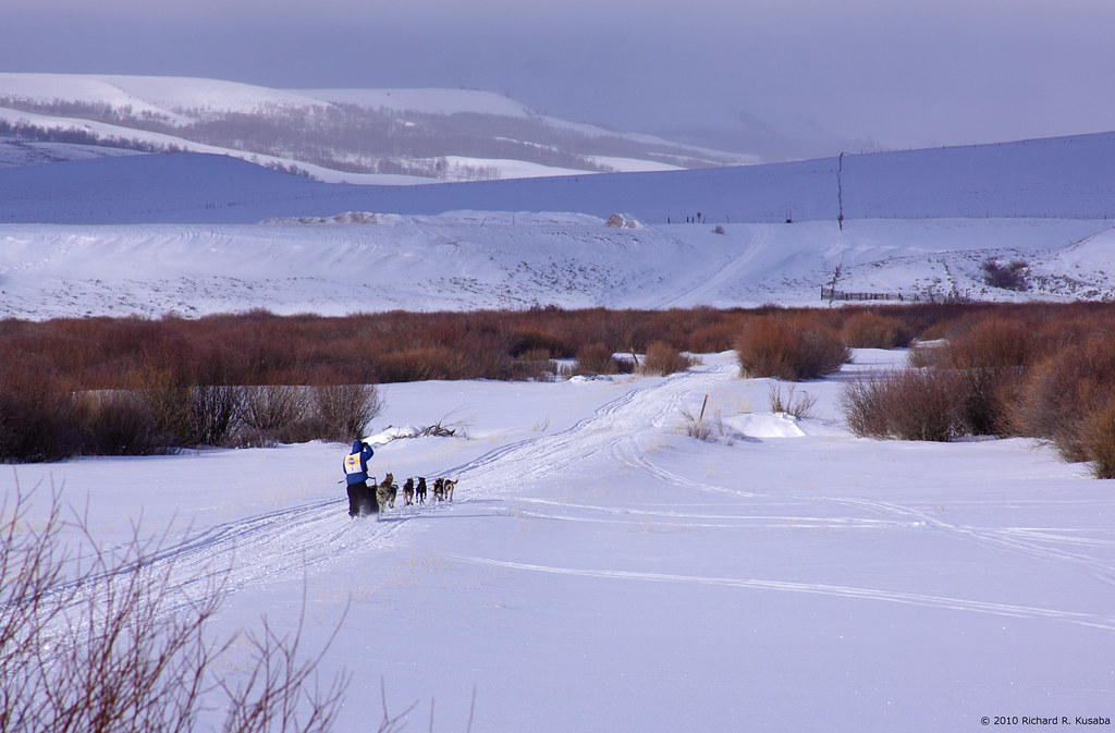
starting line
into some weather?
Nice Work (in the Summer)

Lilly Pads

An Upward Trend
Topographic Map of Lincoln County, WY, USA
Find elevation by address:

Places in Lincoln County, WY, USA:
Kemmerer
Thayne
Afton
Cokeville
Star Valley Ranch
La Barge
Etna
Alpine Northwest
S Labarge St, La Barge, WY, USA
Alpine Northeast
20 US-89, Alpine, WY, USA
Bedford-Turnerville Rd, Bedford, WY, USA
Smoot
Alpine
Grover
Fontenelle
Opal
Sage
Forest Road 10072
Places near Lincoln County, WY, USA:
West Pine Drive
714 Cedar Ave
605 Emerald St
Kemmerer
Opal
Sage St, Cokeville, WY, USA
Cokeville
Fontenelle Dam
Seedskadee Street
Fontenelle
Sage
Carter
Granger
653 Co Rd 238
Main St, Fort Bridger, WY, USA
Fort Bridger
Urie
N Main St, Lyman, WY, USA
Lyman
WY-, Fort Bridger, WY, USA
Recent Searches:
- Elevation of Corso Fratelli Cairoli, 35, Macerata MC, Italy
- Elevation of Tallevast Rd, Sarasota, FL, USA
- Elevation of 4th St E, Sonoma, CA, USA
- Elevation of Black Hollow Rd, Pennsdale, PA, USA
- Elevation of Oakland Ave, Williamsport, PA, USA
- Elevation of Pedrógão Grande, Portugal
- Elevation of Klee Dr, Martinsburg, WV, USA
- Elevation of Via Roma, Pieranica CR, Italy
- Elevation of Tavkvetili Mountain, Georgia
- Elevation of Hartfords Bluff Cir, Mt Pleasant, SC, USA