Elevation of Weber Ln, Freedom, ID, USA
Location: United States > Idaho > Caribou County >
Longitude: -111.04824
Latitude: 42.9819289
Elevation: 1762m / 5781feet
Barometric Pressure: 82KPa
Elevation Map:
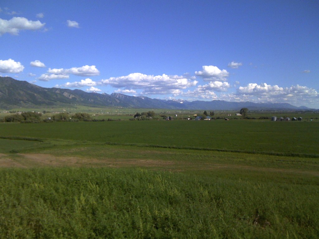
Satellite Map:
Related Photos:
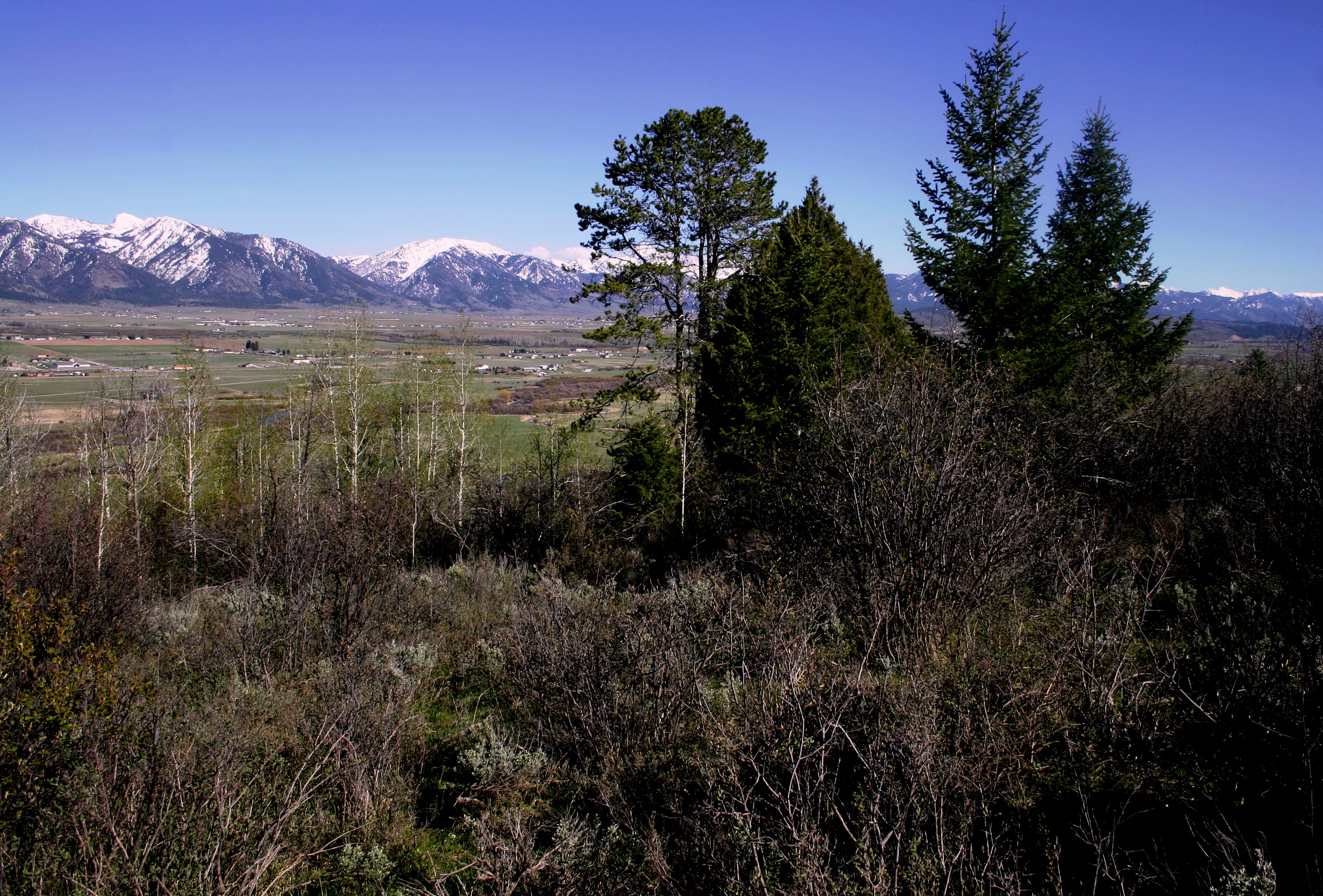
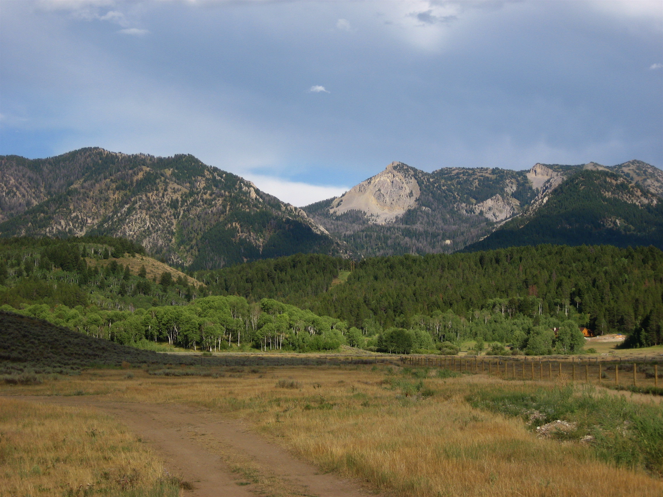
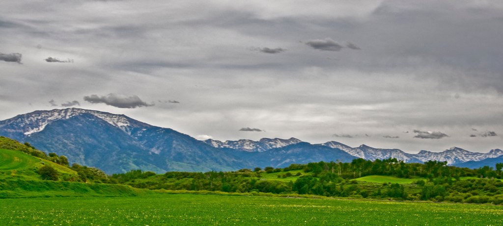
Above Star Valley
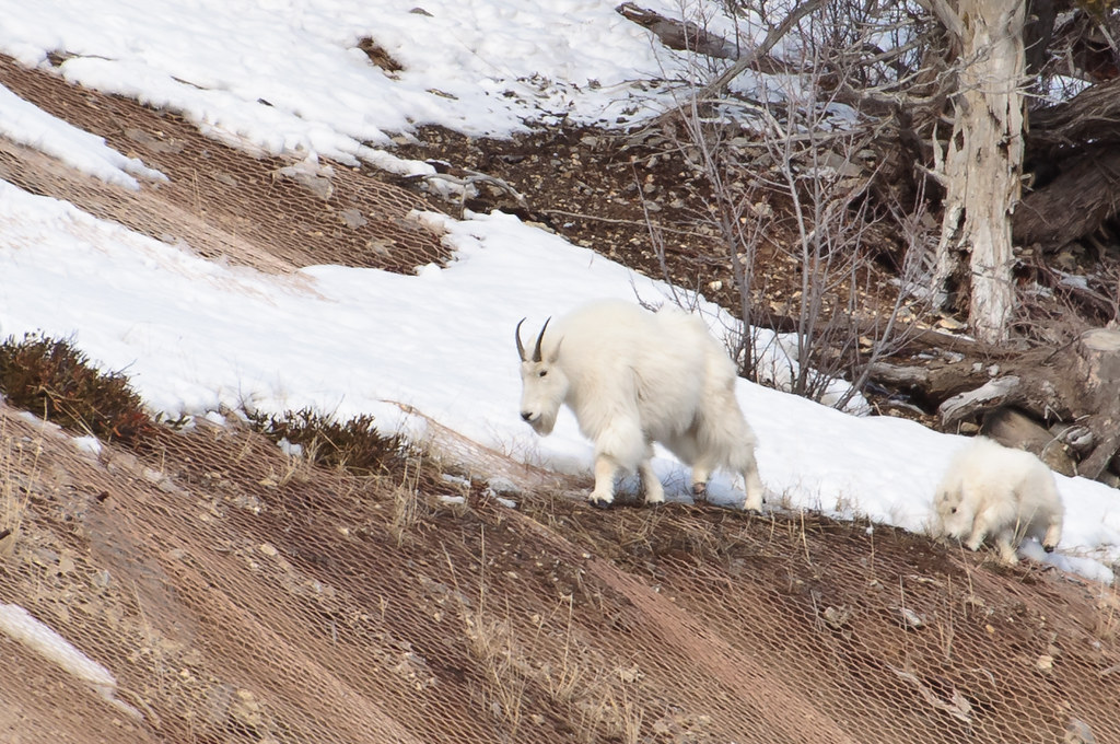
Alpine Wild Mountain Goats

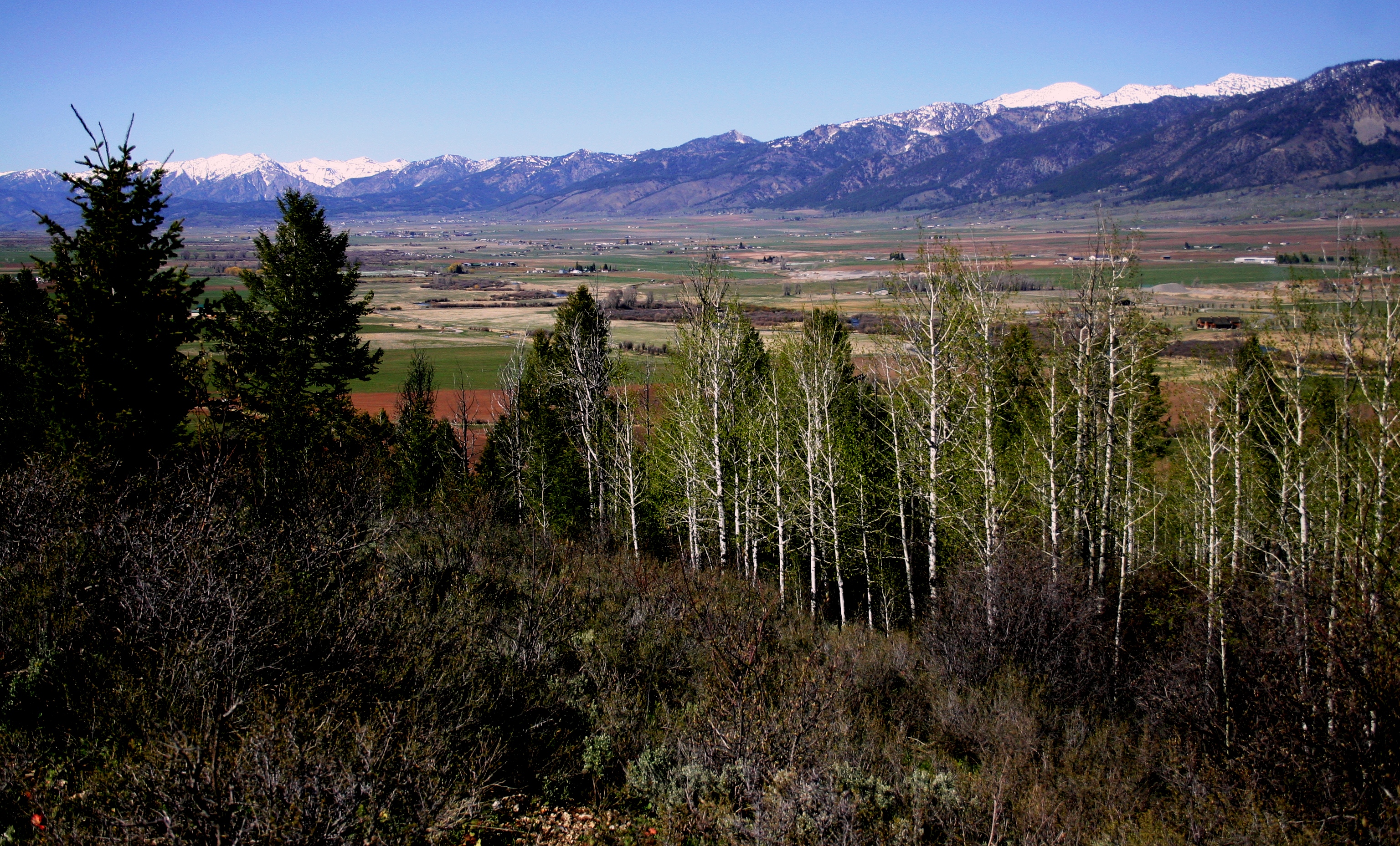
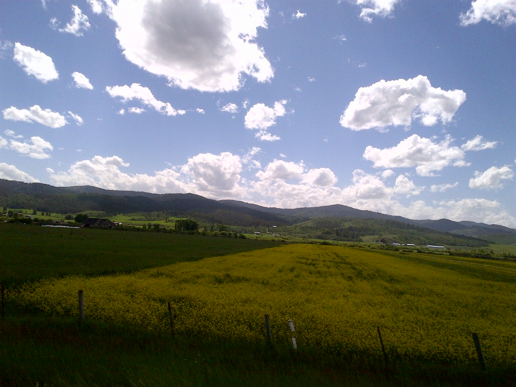
Fertile Bottom Land

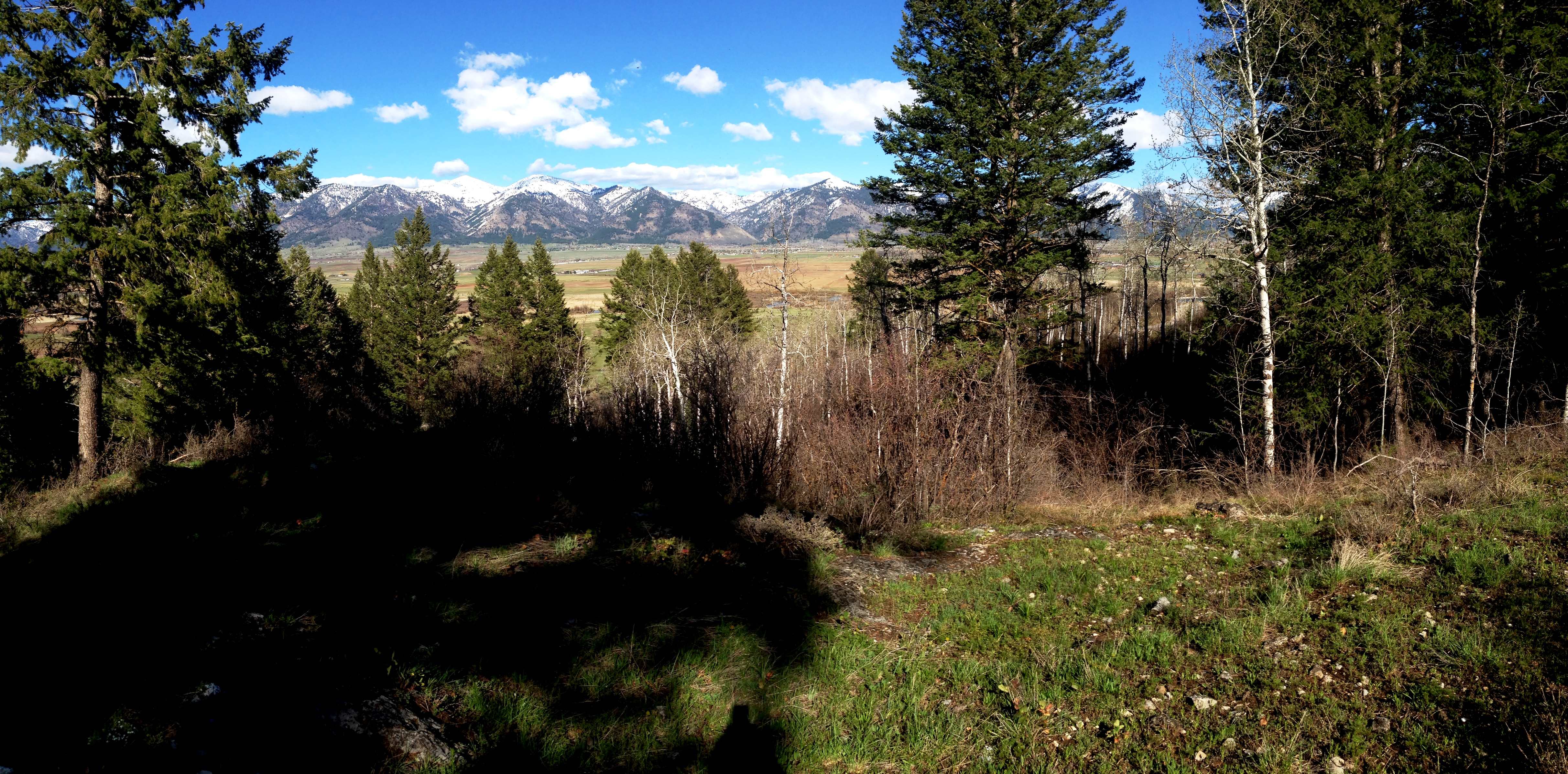
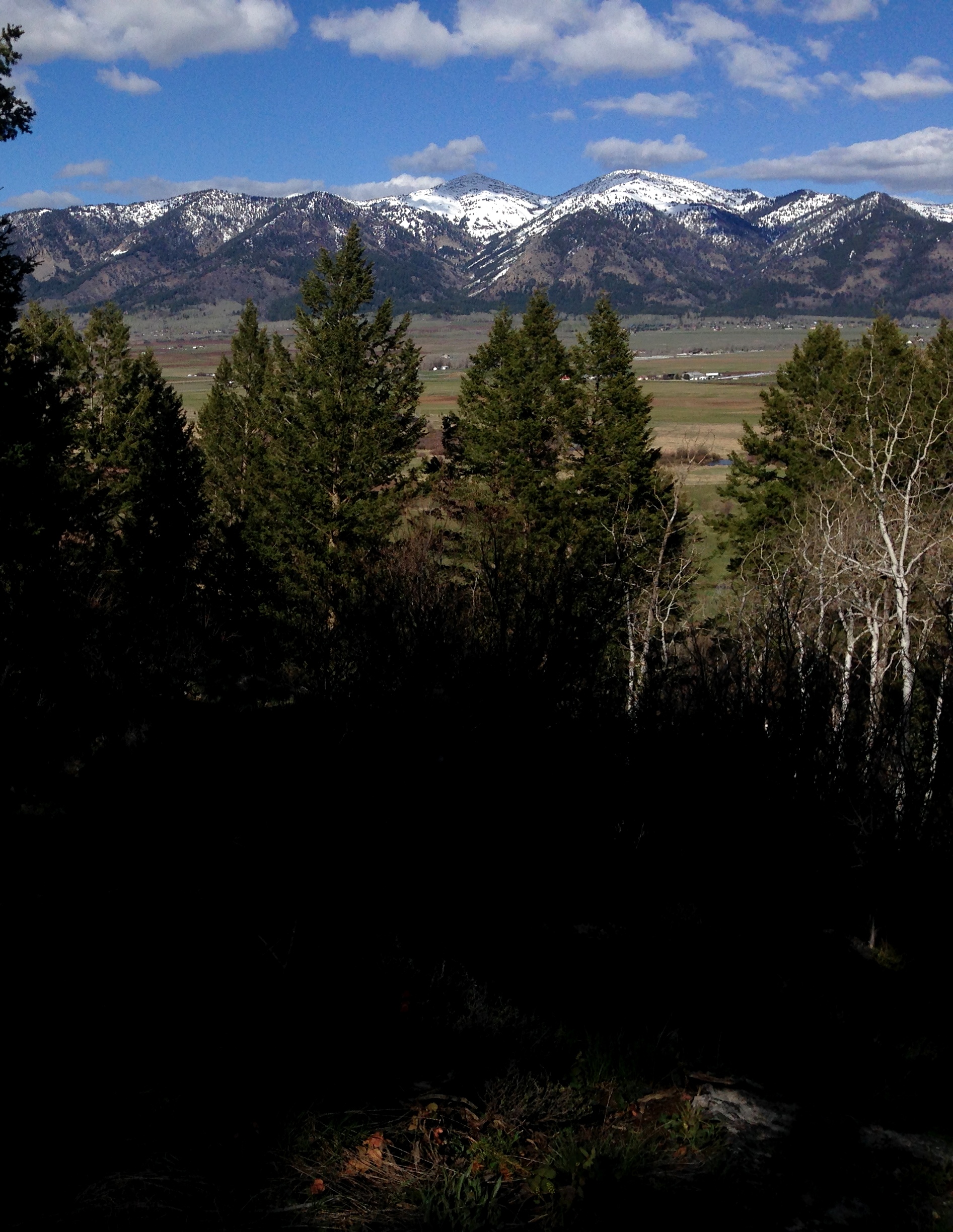
The Star Valley

Bair family reunion group 2012

Views from the road: from Jackson, Wy to Salt Lake City, Ut

Jack Knife

Millefiori side

Edith 2
Freedom Ridge
A Place Called Freedom

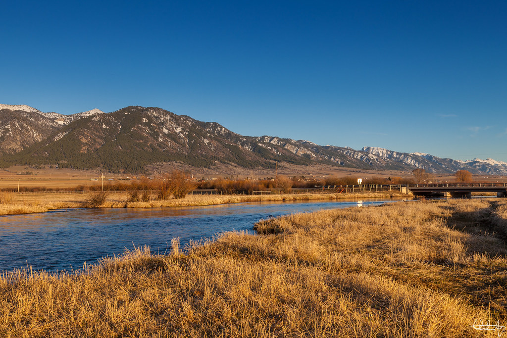
Salt River - Etna, Wyoming

Freedom flooding
Salt River Range
The Bridger Mountains
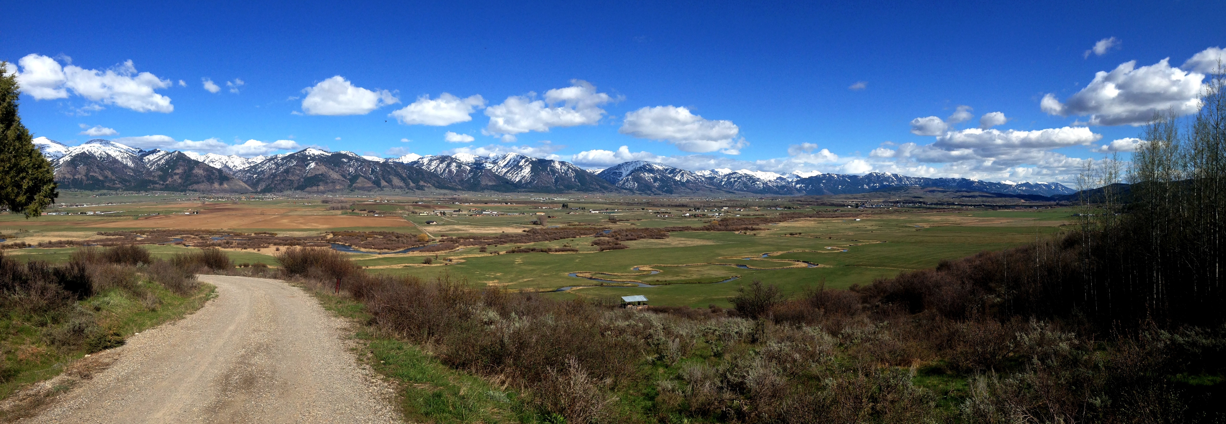
The Star Valley
Afton-20130626-01270

Afton-20130626-01270
The Grand Tetons

Afton-20130626-01270
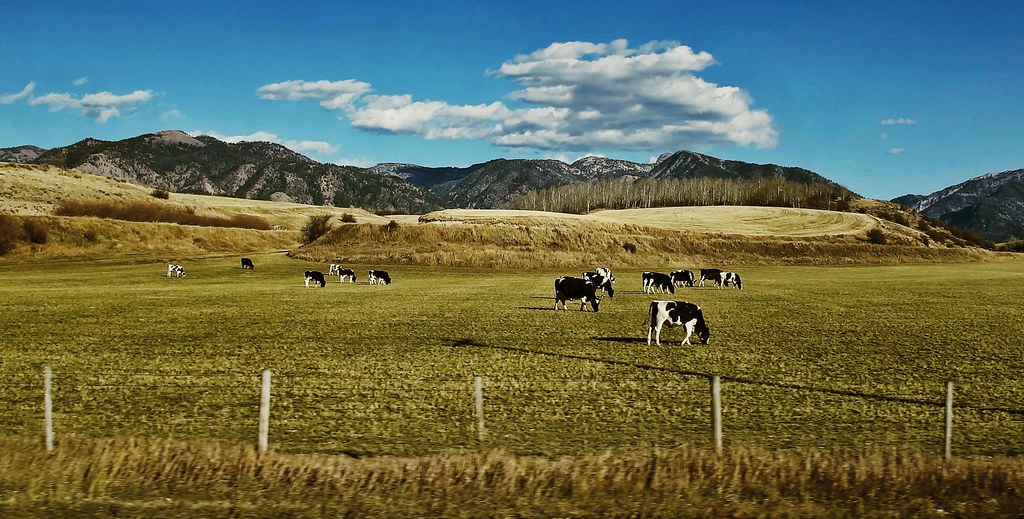
Shootin' cows
Star Valley Wyoming

36. Salt River and House in Wyoming

Cabin at Prater Mountain

Poppy pods
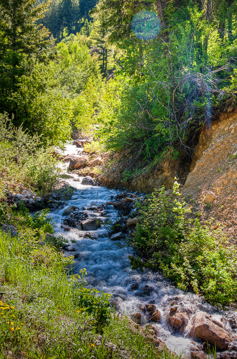
Prater Canyon Creek

Green and Blue
Freedom, Idaho & Wyoming
Topographic Map of Weber Ln, Freedom, ID, USA
Find elevation by address:

Places near Weber Ln, Freedom, ID, USA:
102295 Us-89
Etna
246 Brambleberry Dr
125 Tumbleweed Ln
Muddy String Co Road 117
Thayne
240 South Forest
67 Walnut Dr
Star Valley Ranch, WY, USA
227 Spurwood Dr
Star Valley Ranch
Double L Ranch
47 Last Chance Cir
180 Turnerville Rd
County Road
Bridge Campground
Alpine
20 US-89, Alpine, WY, USA
Greys River
Alpine Northwest
Recent Searches:
- Elevation of Corso Fratelli Cairoli, 35, Macerata MC, Italy
- Elevation of Tallevast Rd, Sarasota, FL, USA
- Elevation of 4th St E, Sonoma, CA, USA
- Elevation of Black Hollow Rd, Pennsdale, PA, USA
- Elevation of Oakland Ave, Williamsport, PA, USA
- Elevation of Pedrógão Grande, Portugal
- Elevation of Klee Dr, Martinsburg, WV, USA
- Elevation of Via Roma, Pieranica CR, Italy
- Elevation of Tavkvetili Mountain, Georgia
- Elevation of Hartfords Bluff Cir, Mt Pleasant, SC, USA