Elevation of Alford Ave, Los Altos, CA, USA
Location: United States > California > Santa Clara County > Los Altos > South Los Altos >
Longitude: -122.06847
Latitude: 37.3458464
Elevation: 69m / 226feet
Barometric Pressure: 100KPa
Elevation Map:
Satellite Map:
Related Photos:
Plastic Lifesaver

Snail In Hose

Belly Balls

Color On Weathered Grey

IMG_1380 Let Me Feed You, Honey.
Morning Tree

Fire breathing dragon

IMG_5922 Forster's Tern Hovering, Mountain View Shoreline Park, California
views for days ???? #raggedpoint #bigsur #hiking #landscape #wilderness #optoutside #california
In The Alley
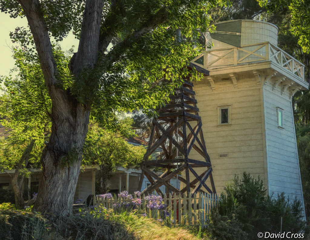
A Walk to Rengstorff House (circa 1867) (HFF)

Long Walks on Short Piers

California Avenue Street Light

Geese (HSS)

Late Again....

Googleplex - Google Campus

Cracked Earth
Yellow Tracks
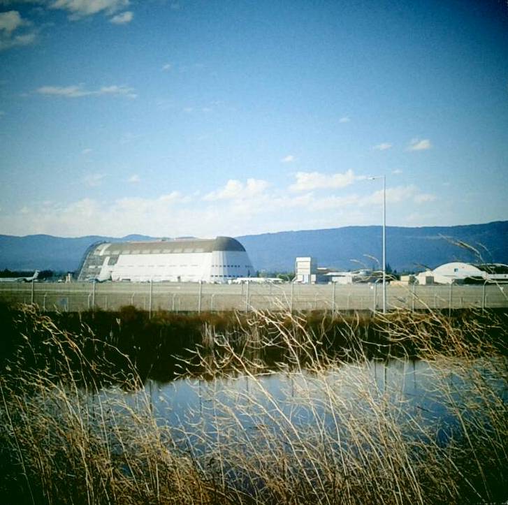
Hanger One
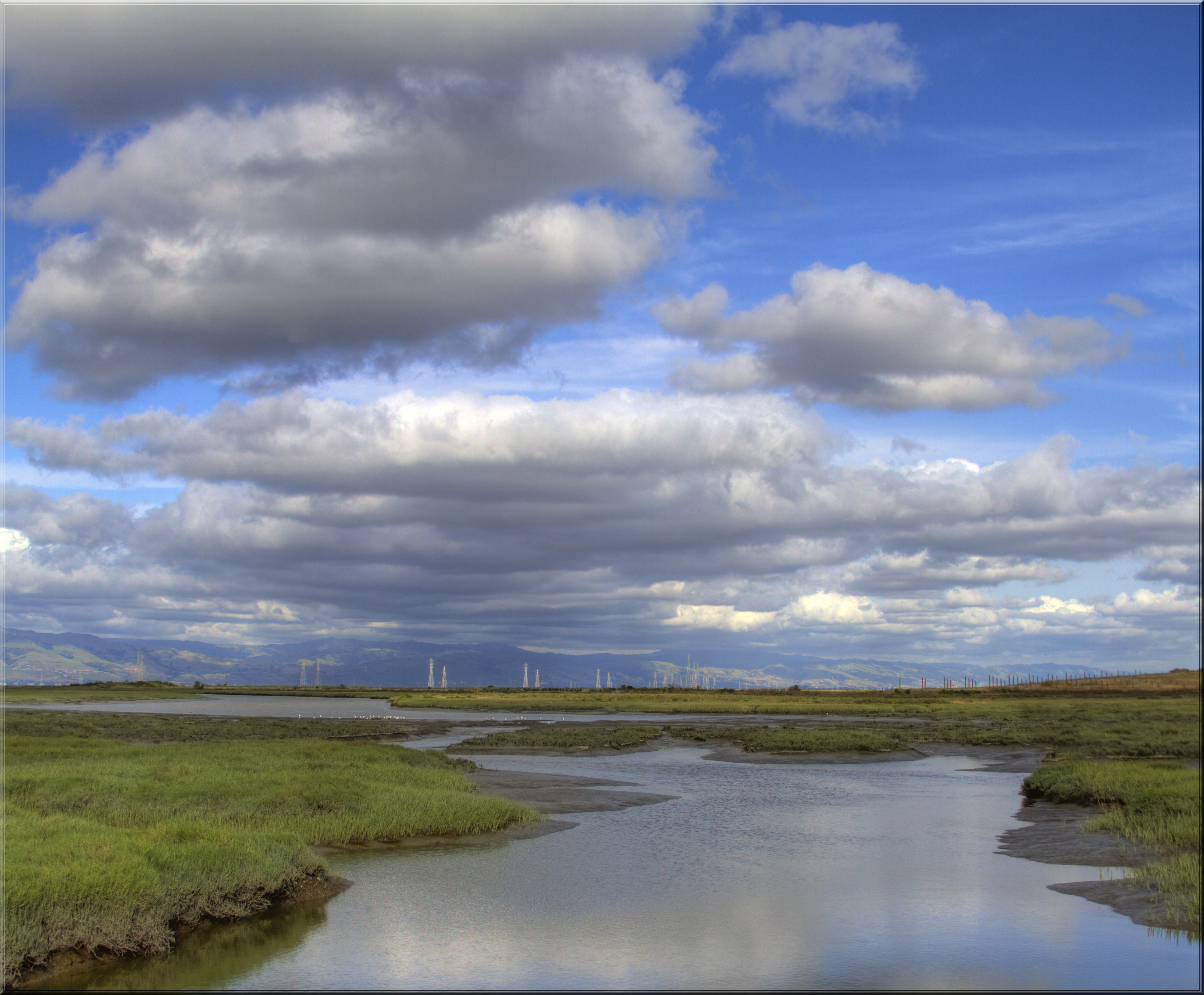
Stormy Skies

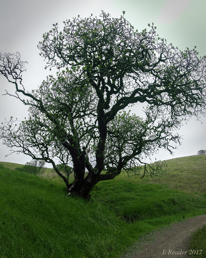
Gnarled Oak

Heavenly Shades of Night are Falling -- Reprise

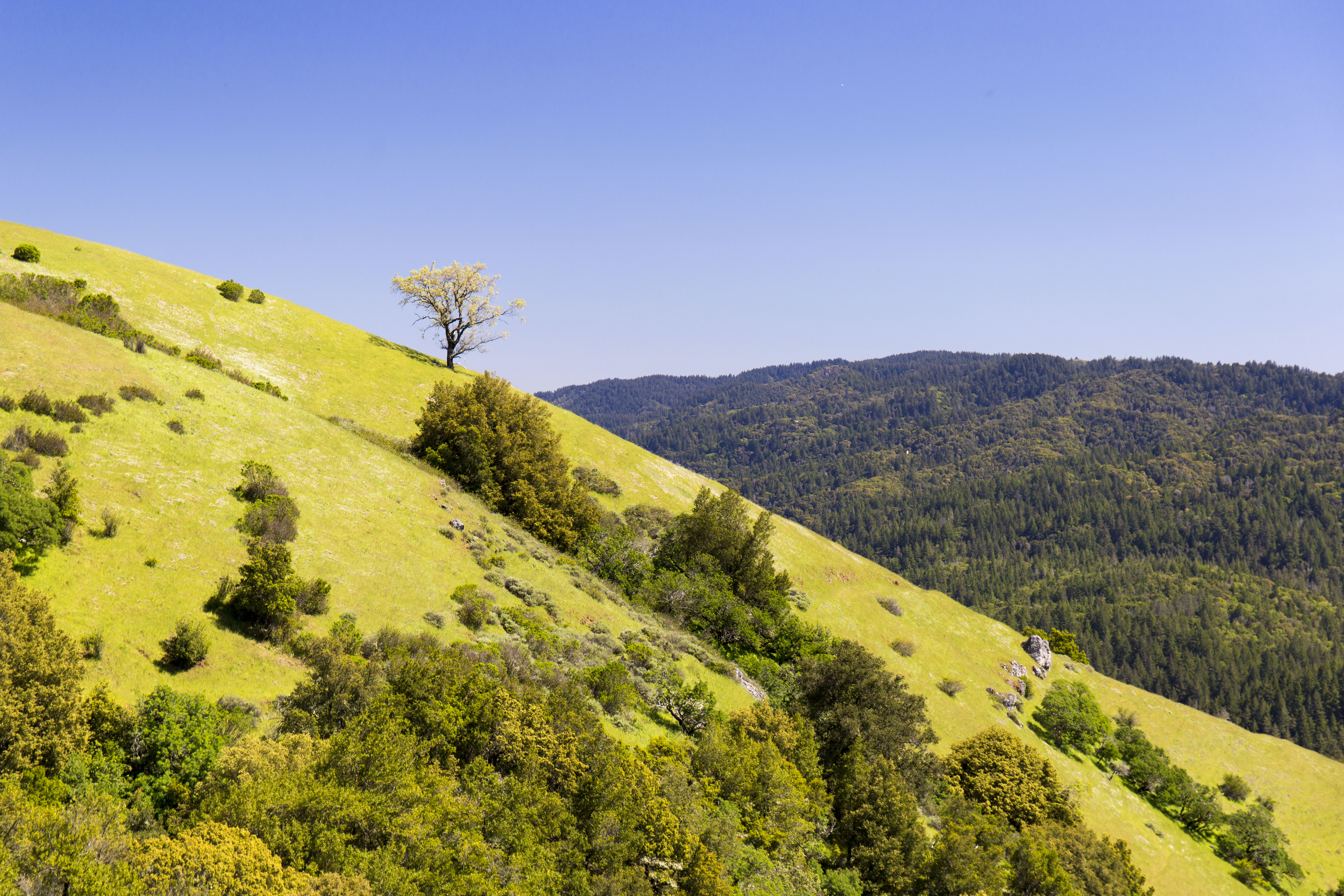
Fields of Gold

Somewhere in heaven
#hiking #california #nature

Heavenly shades of night are falling, it's twilight time ...
Vasona Lake
Vasona Lake HDR - Happy Sliders Sunday

Clouds at sunset - Happy Sliders Sunday
Vasona Lake
Monte Bello Open Space Preserve

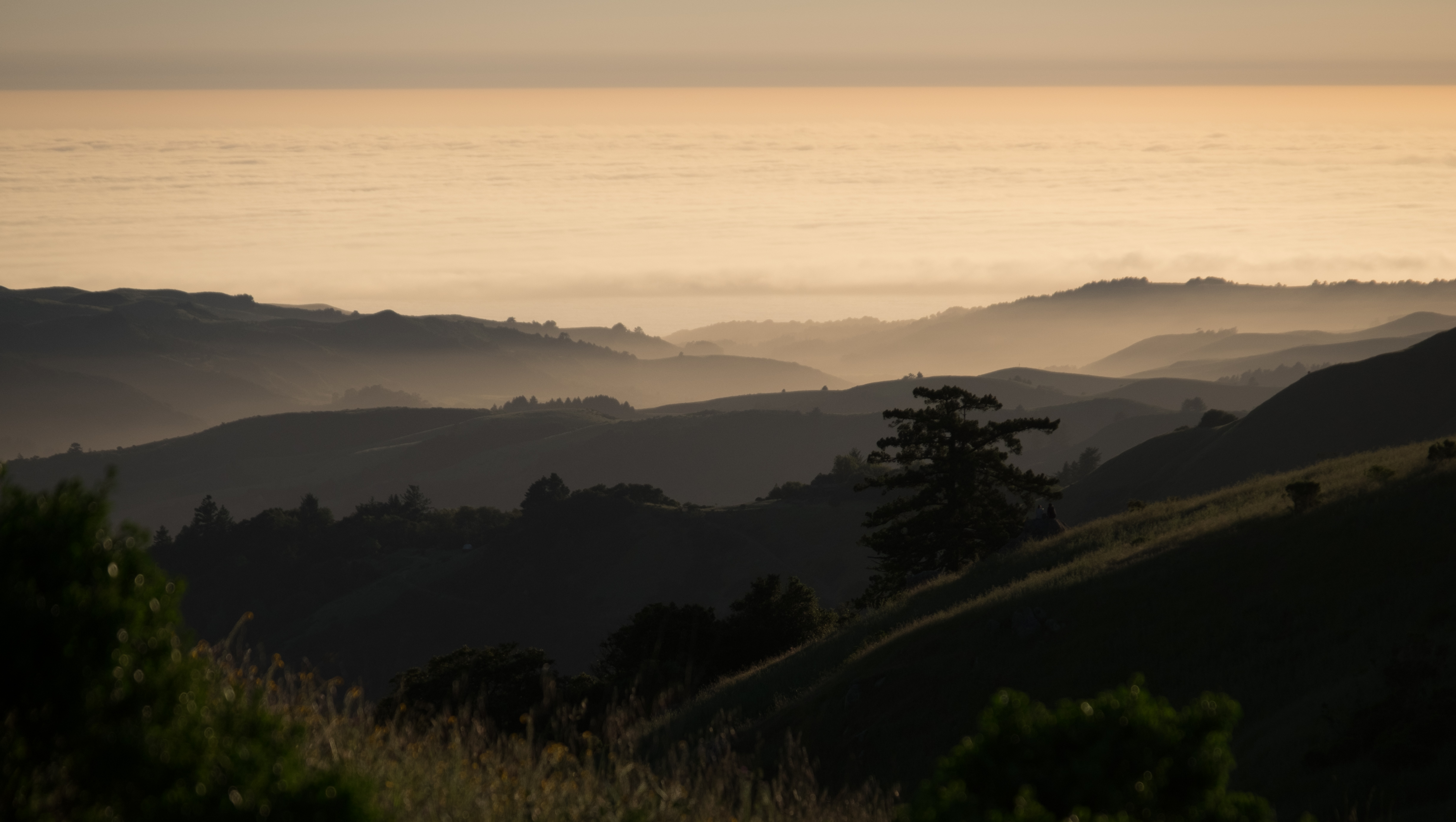
California Coastal Fog (explored)

A Tree near Paseo del Roble Trail

Six. Tonight I reached 100 miles for March, making it 6 months straight of 100+ miles per month. Many runners run a lot more than that per month, but for me, this is a significant achievement. Prior to this streak I had not been able to muster 2 consecuti

Gentle Afterglow
Springtime Awakening

April Skies | Palo Alto

Trees and Rays

Home on the Farm
Fog to the horizon

Great Long, Slow Day on the LG Creek Trail. The #408 has the best weather in the Bay Area #TeamRunTheBay #RunLocal #GetOnnit #nikeplus
Topographic Map of Alford Ave, Los Altos, CA, USA
Find elevation by address:

Places near Alford Ave, Los Altos, CA, USA:
1492 Elnora Ct
1760 Lantis Ln
South Los Altos
1641 Parkhills Ave
Foothill Expy & Arboretum Dr
Foothill Expy & Arboretum Dr
Foothill & Homestead
1717 Marshall Ct
Foothill Expy & Grant Rd
22250 Homestead Rd
22162 Bitter Oak St
1247 Windimer Dr
Woodland Acres - The Highlands
22351 Creston Dr
1609 Honfleur Dr
1605 Kalispell Ct
1556 Samedra St
Nice Place
1426 S Mary Ave
10365 Creston Dr
Recent Searches:
- Elevation of Corso Fratelli Cairoli, 35, Macerata MC, Italy
- Elevation of Tallevast Rd, Sarasota, FL, USA
- Elevation of 4th St E, Sonoma, CA, USA
- Elevation of Black Hollow Rd, Pennsdale, PA, USA
- Elevation of Oakland Ave, Williamsport, PA, USA
- Elevation of Pedrógão Grande, Portugal
- Elevation of Klee Dr, Martinsburg, WV, USA
- Elevation of Via Roma, Pieranica CR, Italy
- Elevation of Tavkvetili Mountain, Georgia
- Elevation of Hartfords Bluff Cir, Mt Pleasant, SC, USA